© Unbekannt - Roman Zöchlinger
- Difficulty
-
difficult
- Rating
-
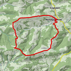
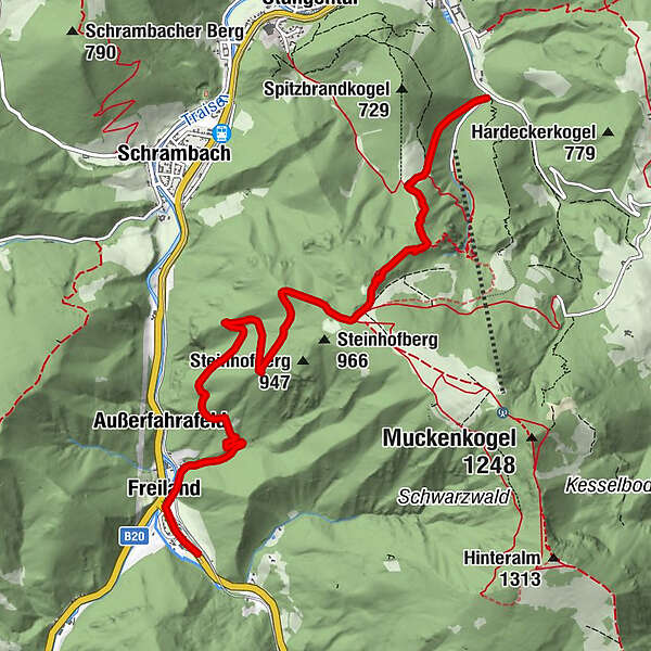
- Route
-
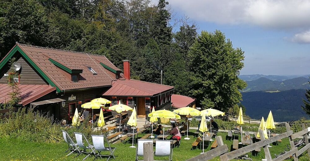
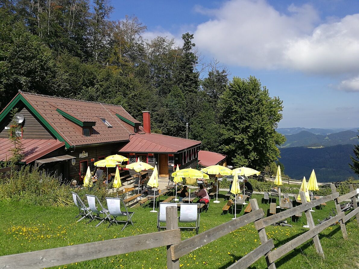
Karlstein-Felskanzel1.7 kmLilienfelder Hütte2.4 kmAußerfahrafeld5.5 kmFreiland7.0 km
- Best season
-
JanFebMarAprMayJunJulAugSepOctNovDec
- Highest point
- 962 m
- Height profile
-

- Author
-
The tour Jägersteig is used by outdooractive.com provided.
GPS Downloads


General info
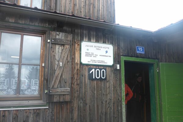
Refreshment stop
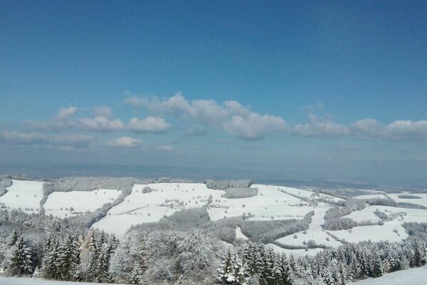
A lot of view
Other tours in the regions
-
Mostviertel
2453
-
Traisen-Gölsental
1335
-
Lilienfeld
366