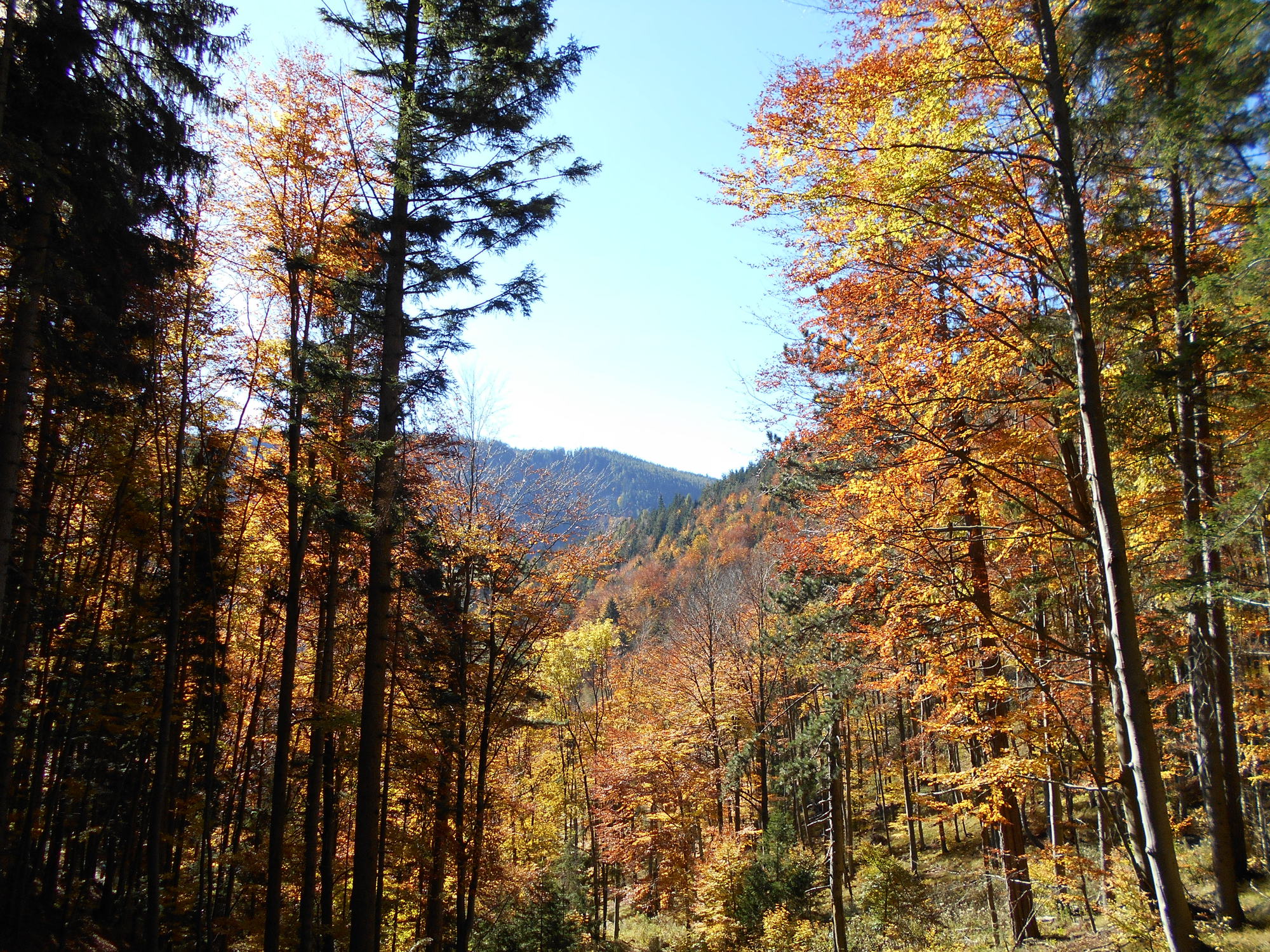
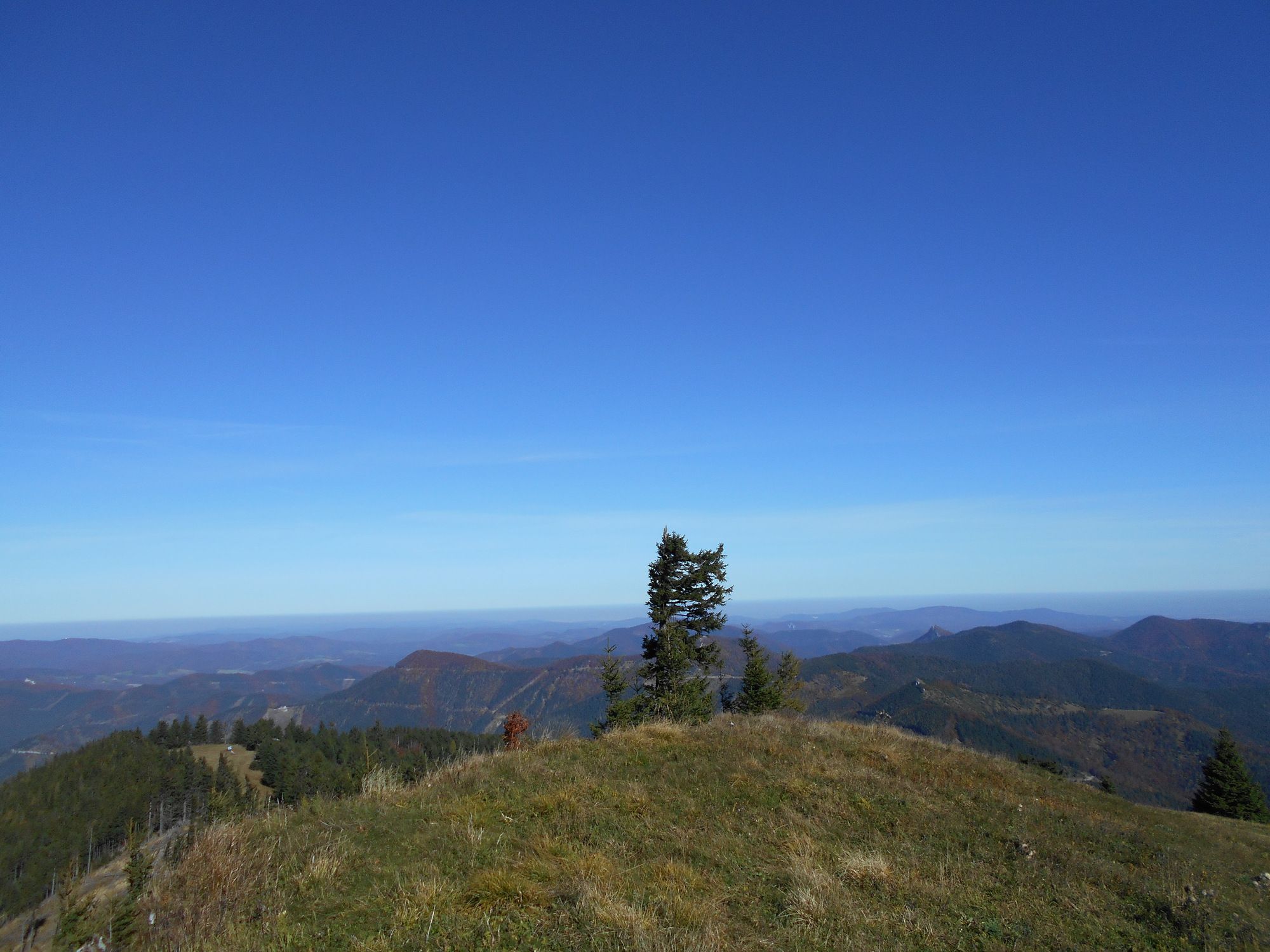
© gert gasperin

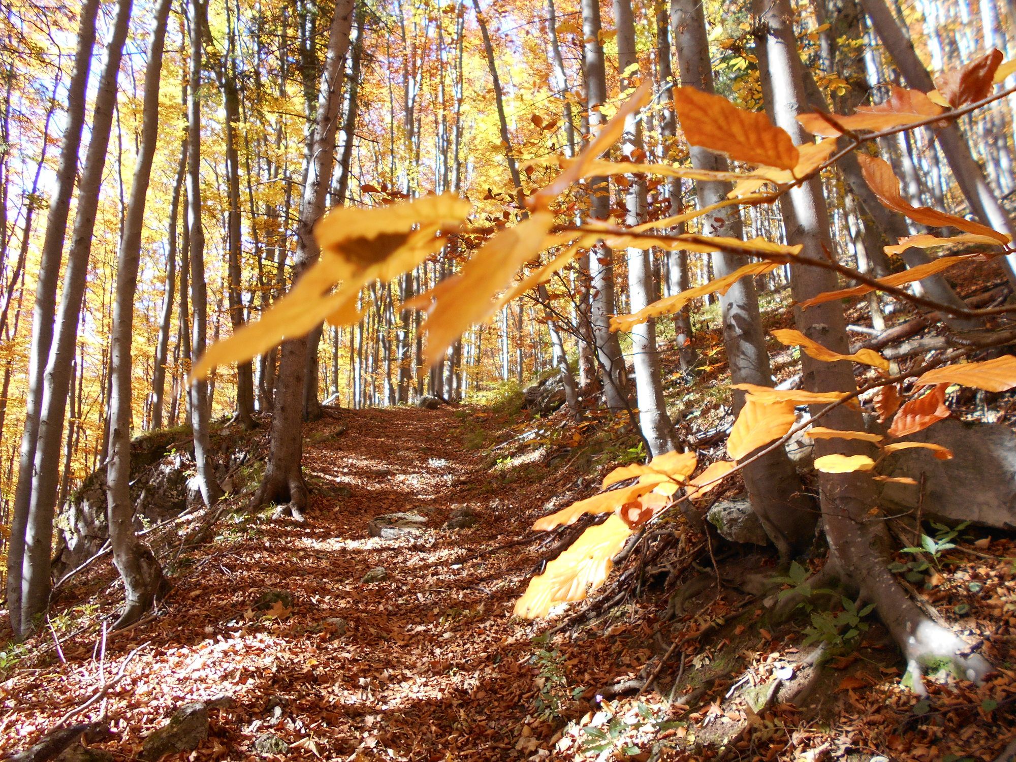
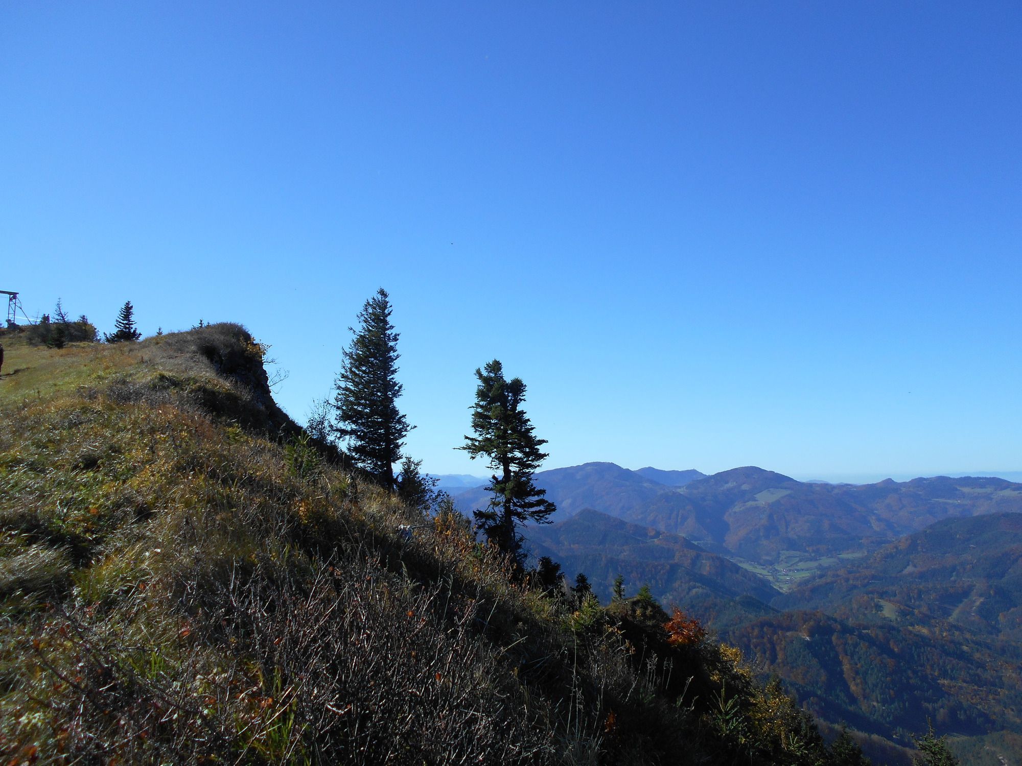
© gert gasperin

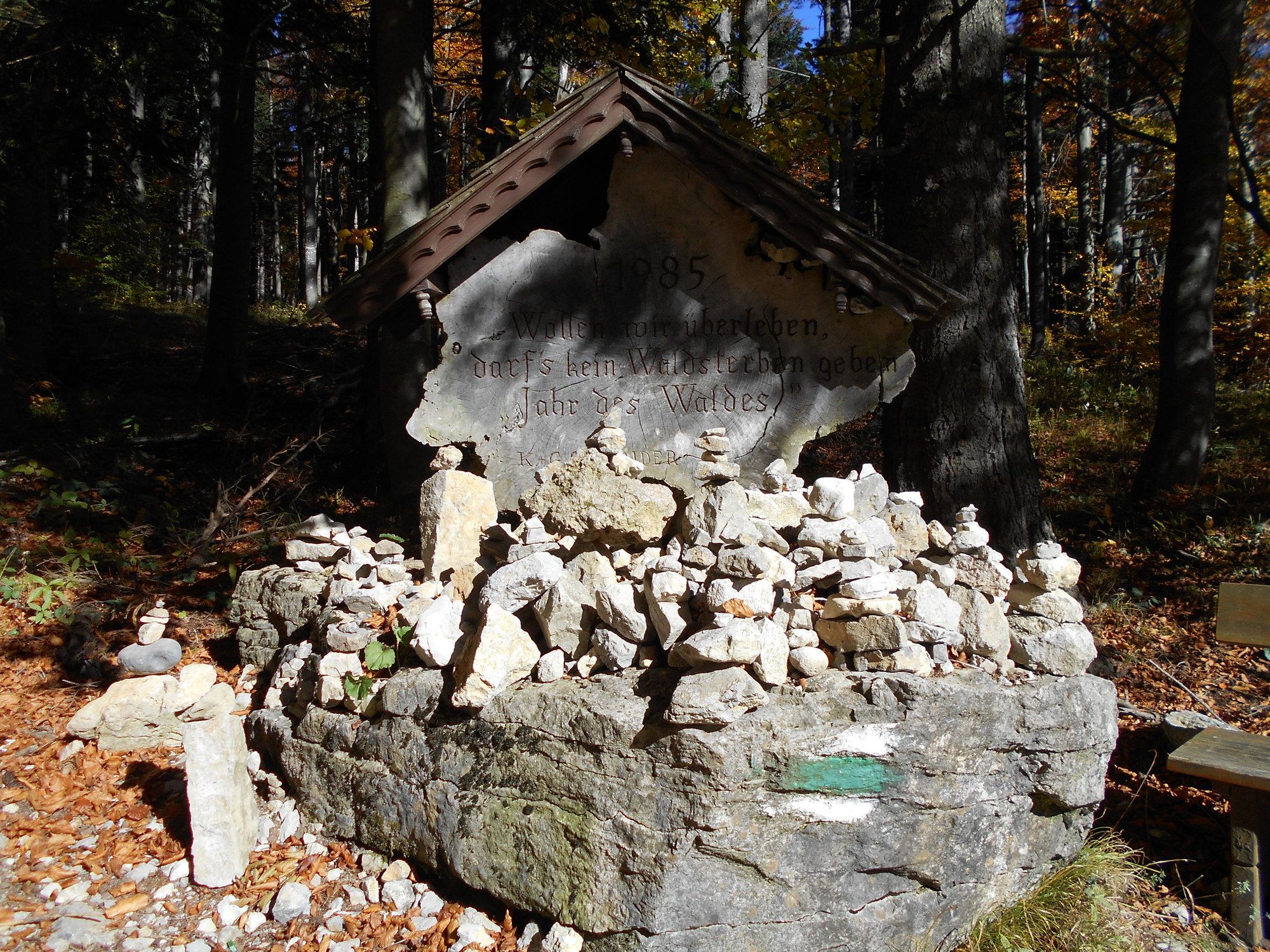
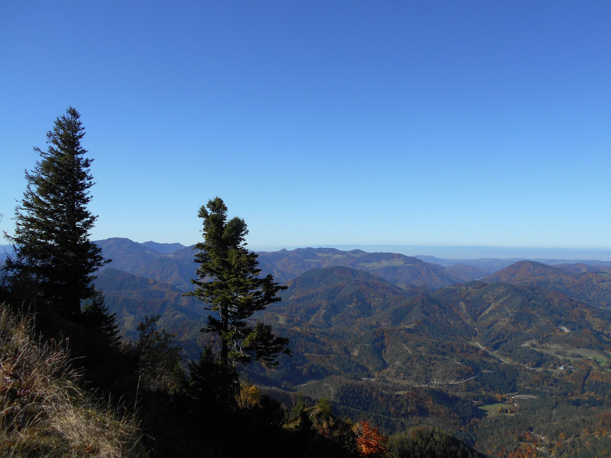
© gert gasperin

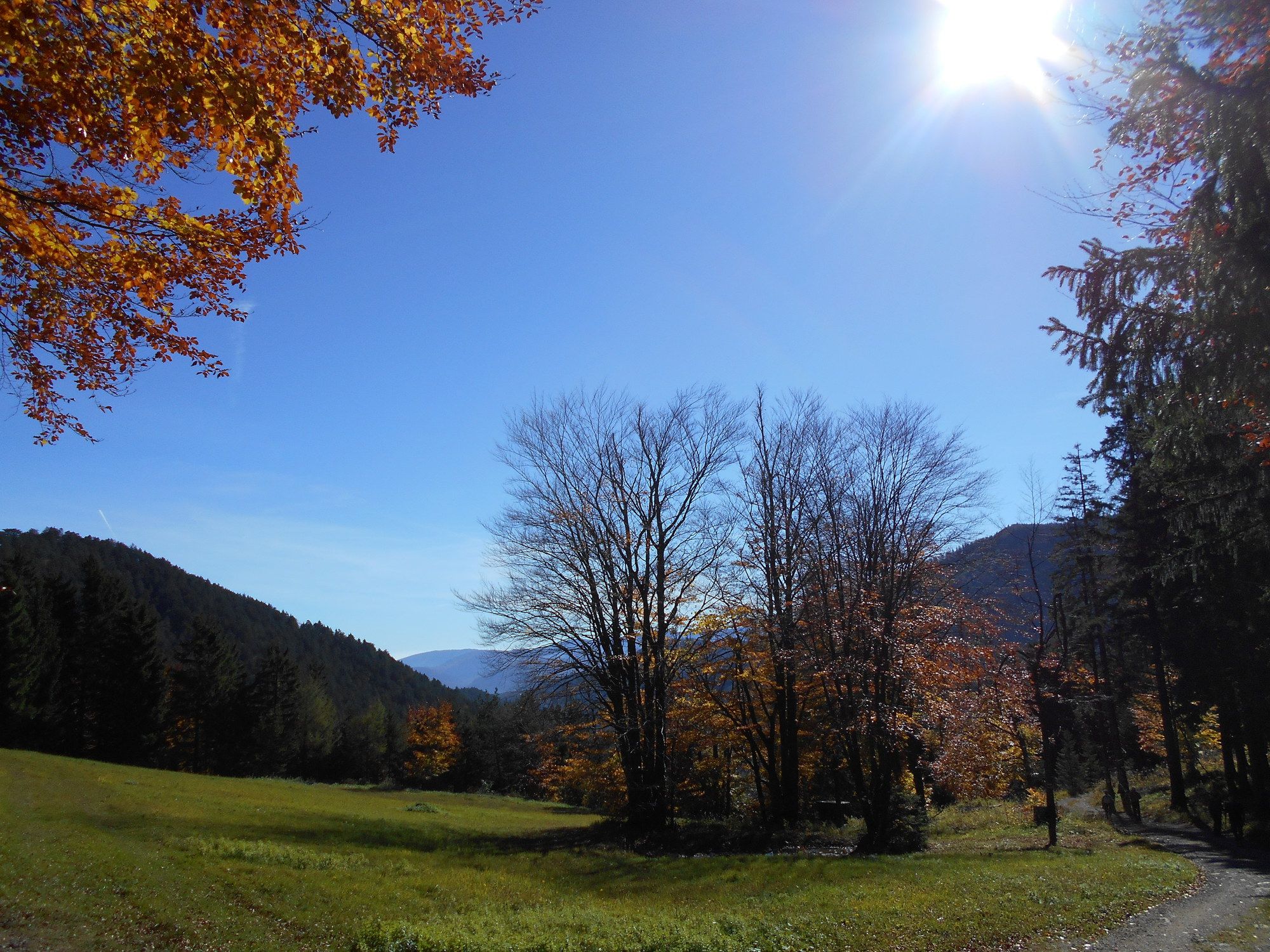
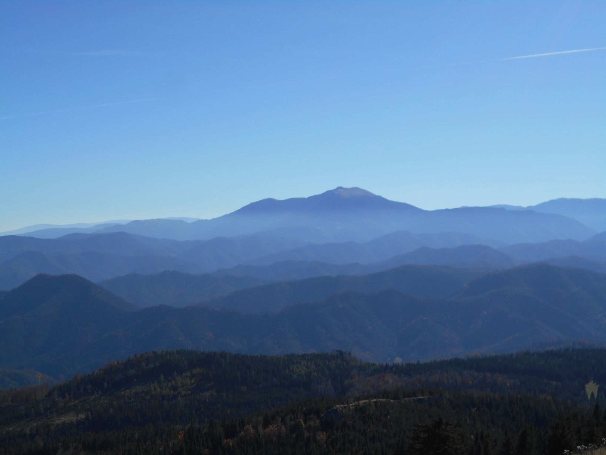
© gert gasperin

© gert gasperin

© gert gasperin

© gert gasperin

© gert gasperin

© gert gasperin

© gert gasperin
Tour data
12.3km
655
- 1,311m
701hm
699hm
07:00h
- Difficulty
-
easy
- Rating
-
- Starting point
-
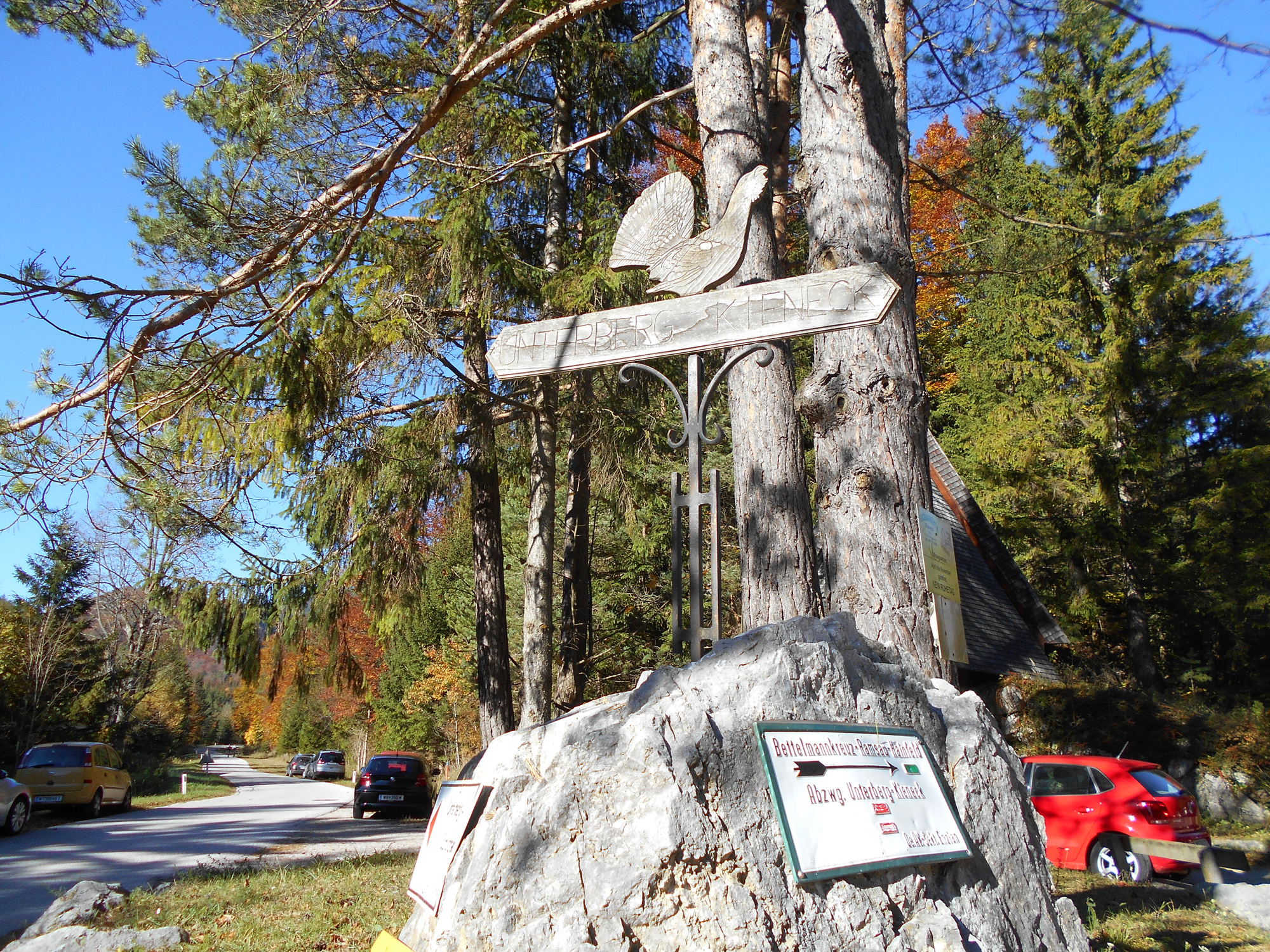
Parkplatz Ramsental
- Route
-
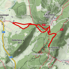
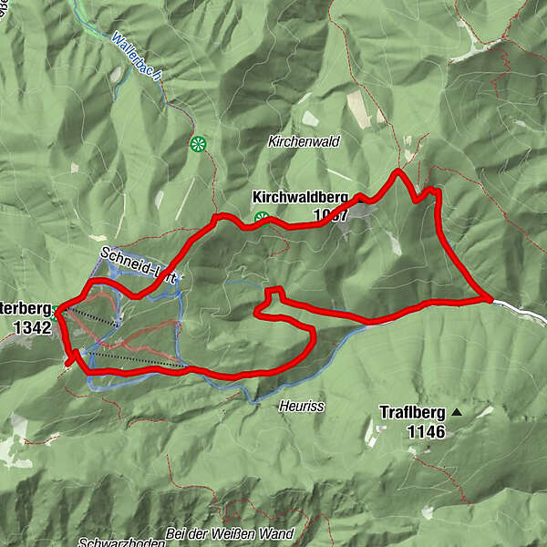
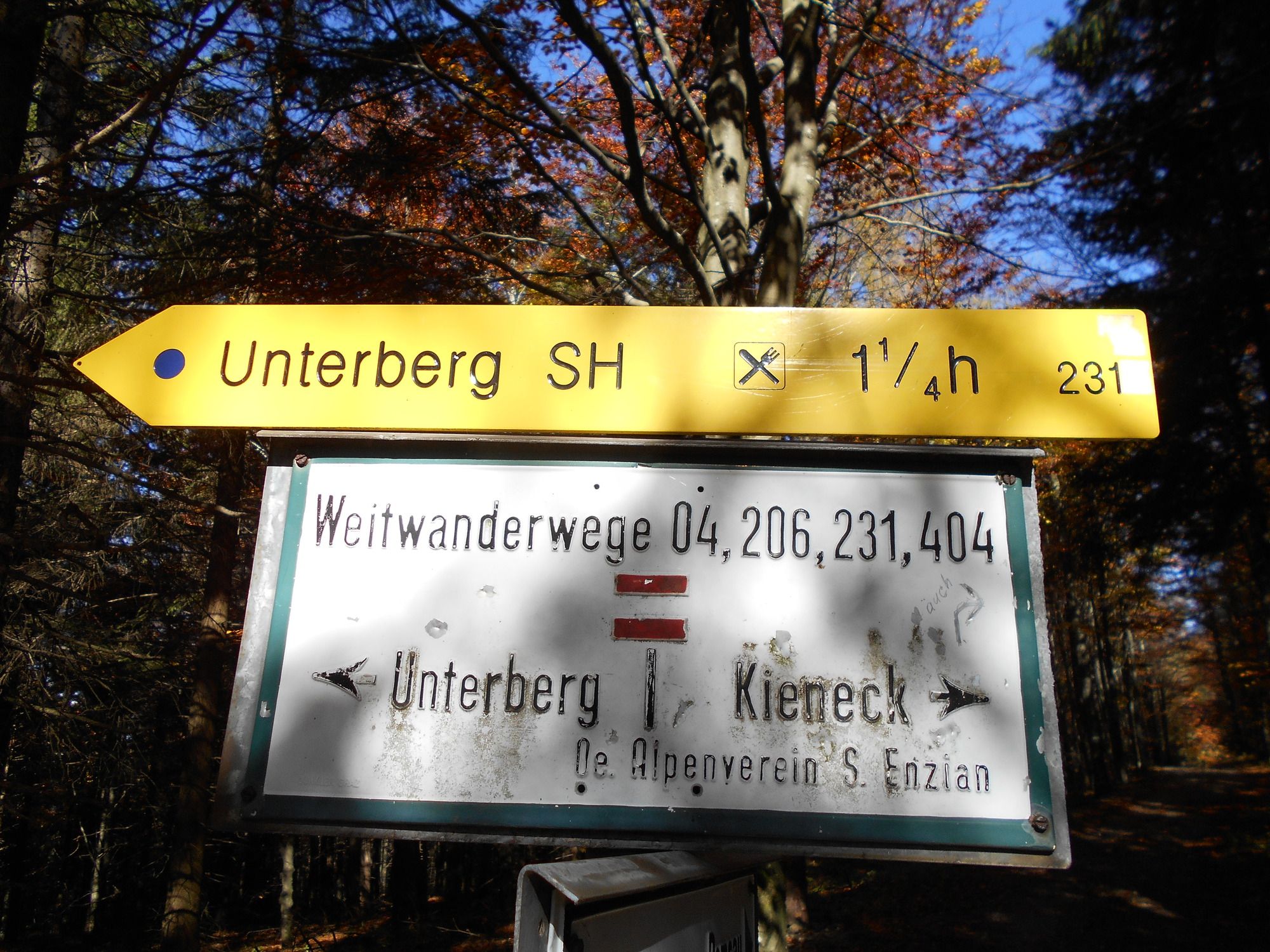
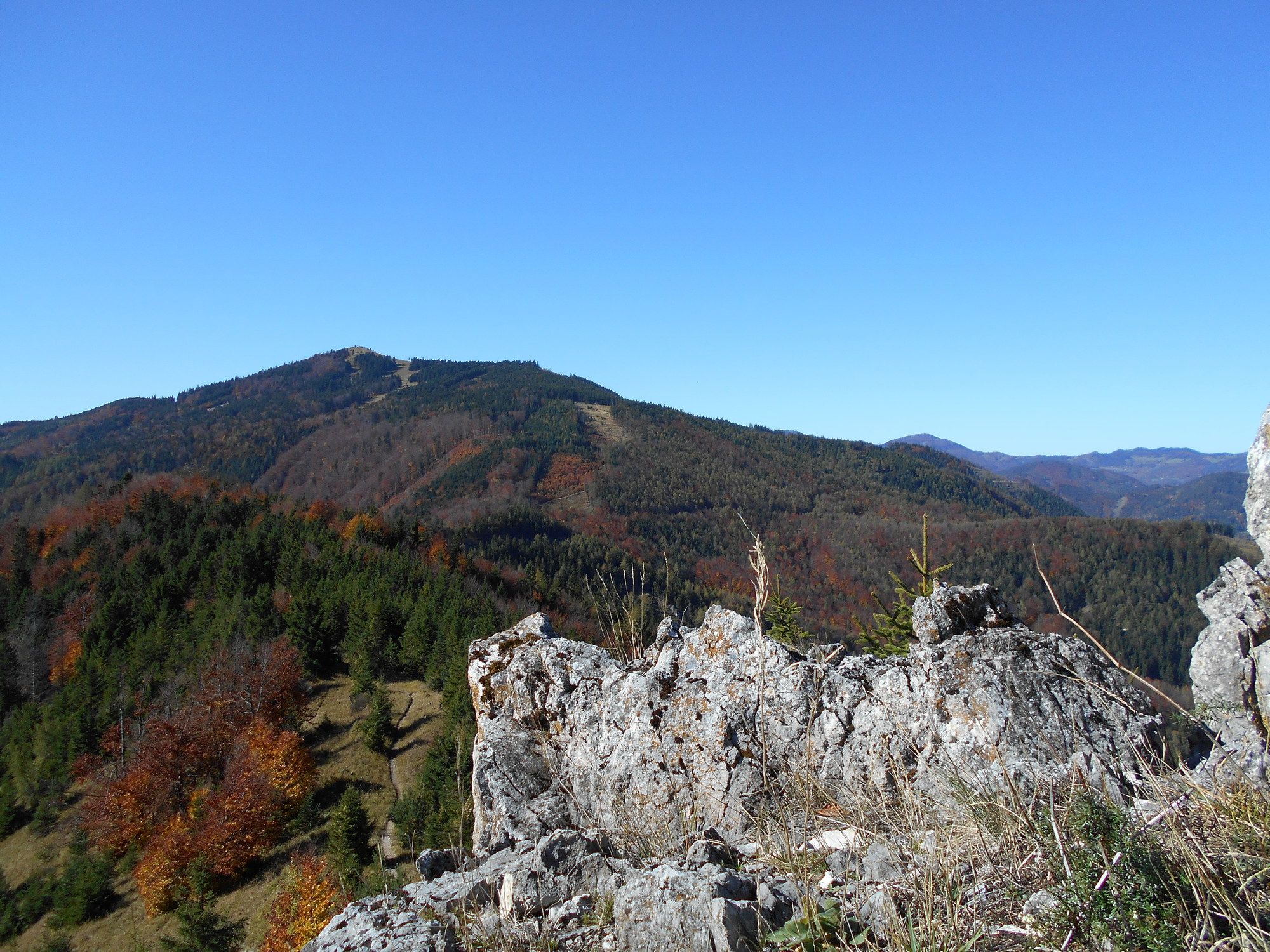
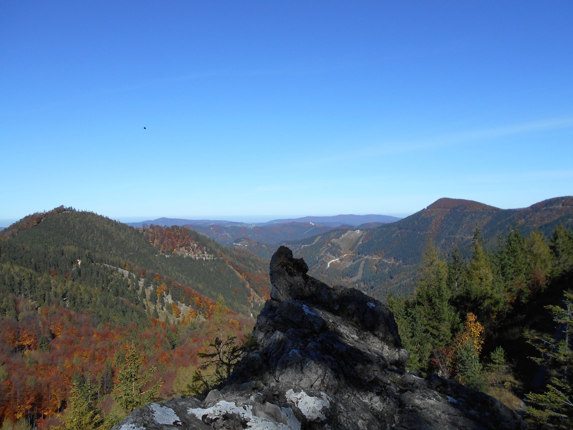
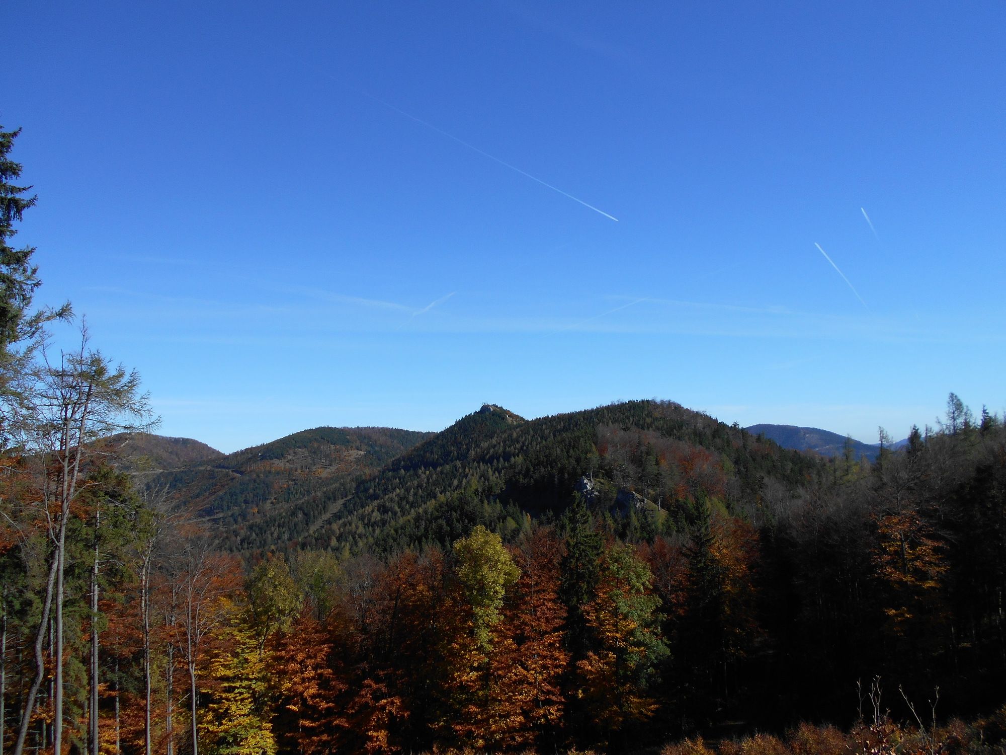
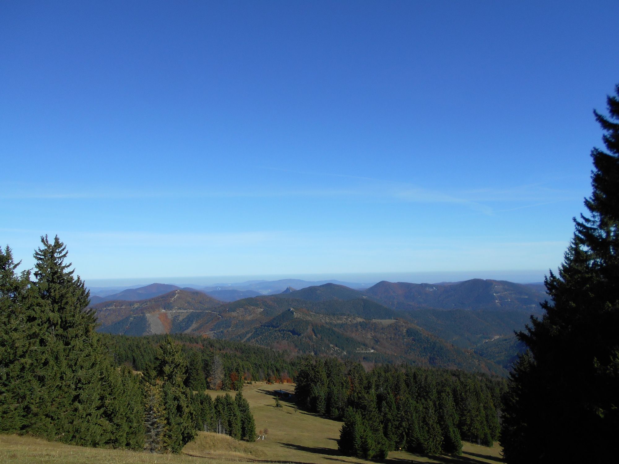
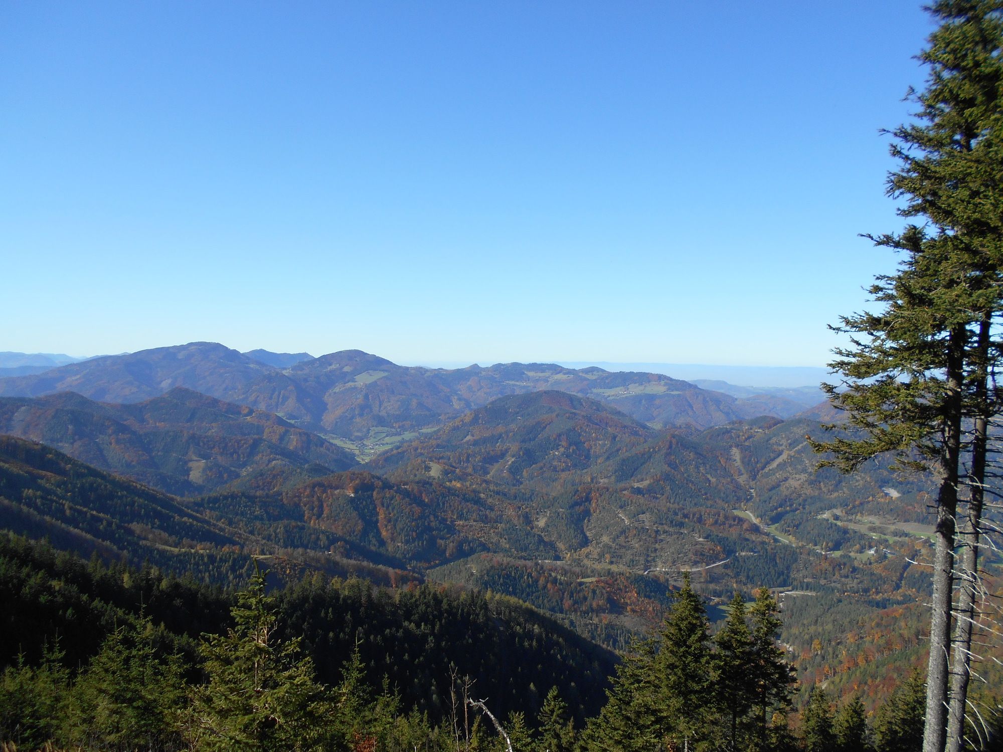
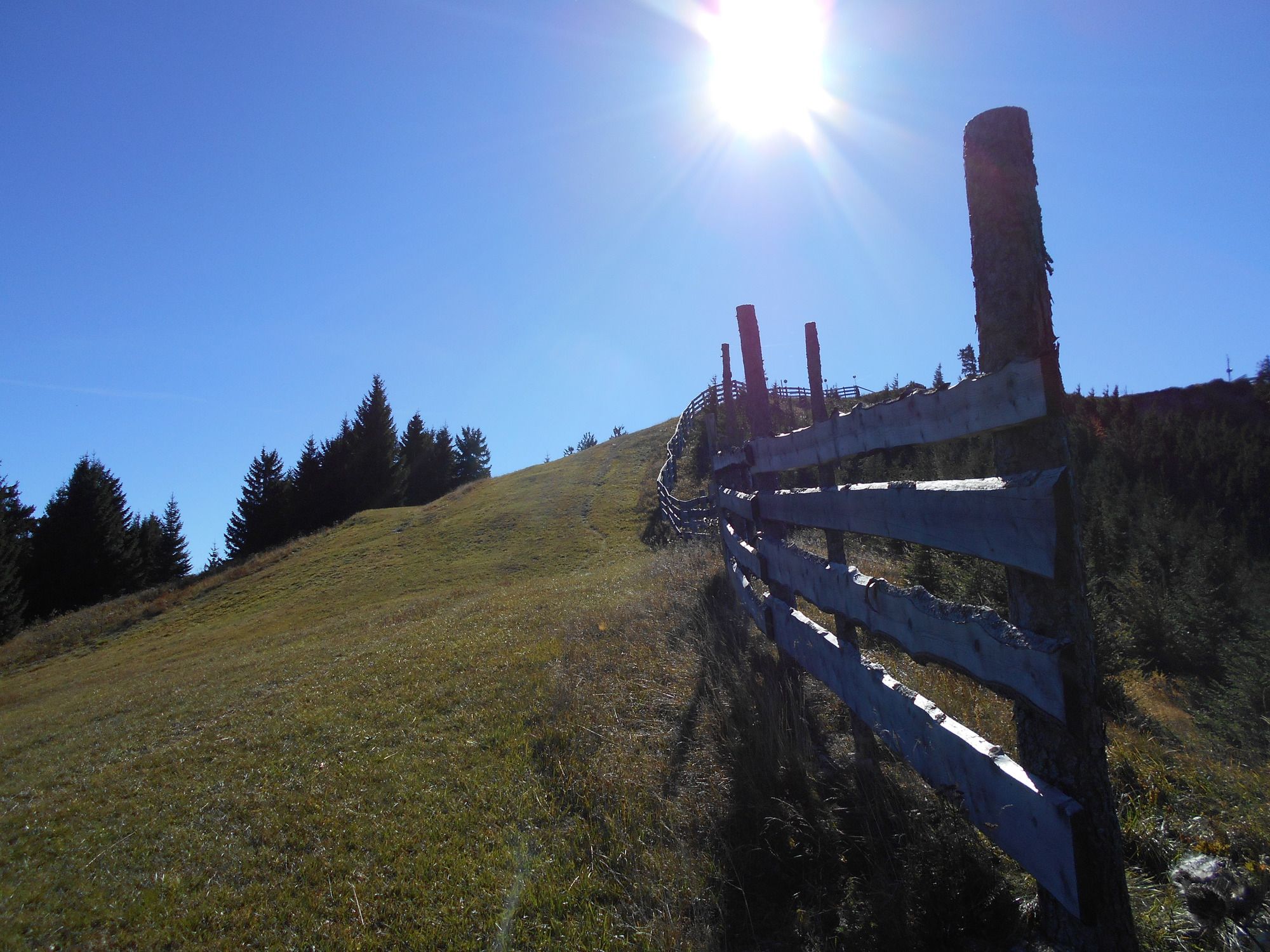
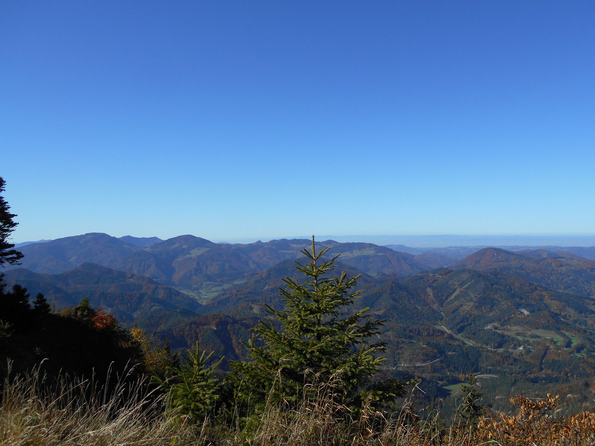
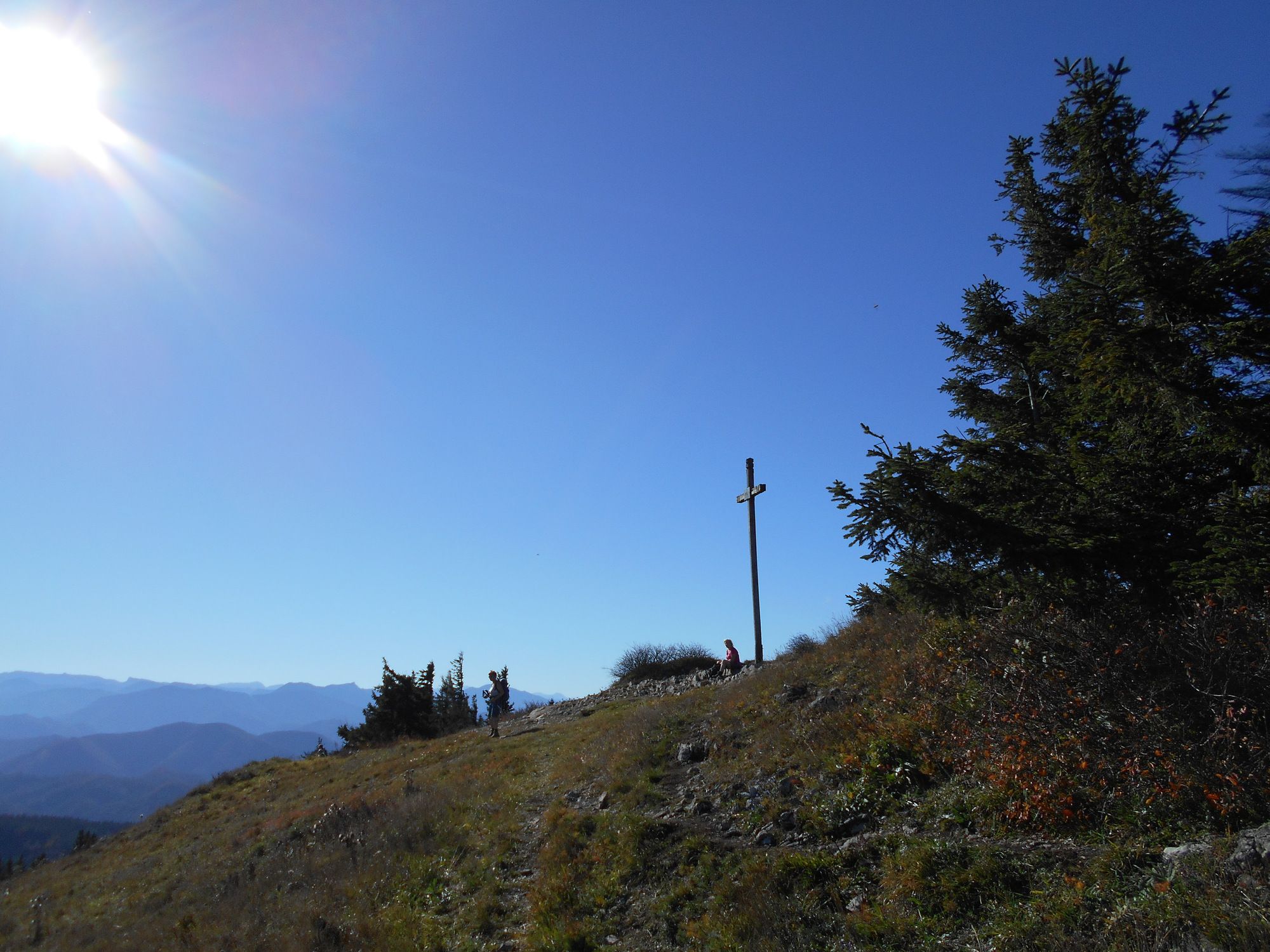
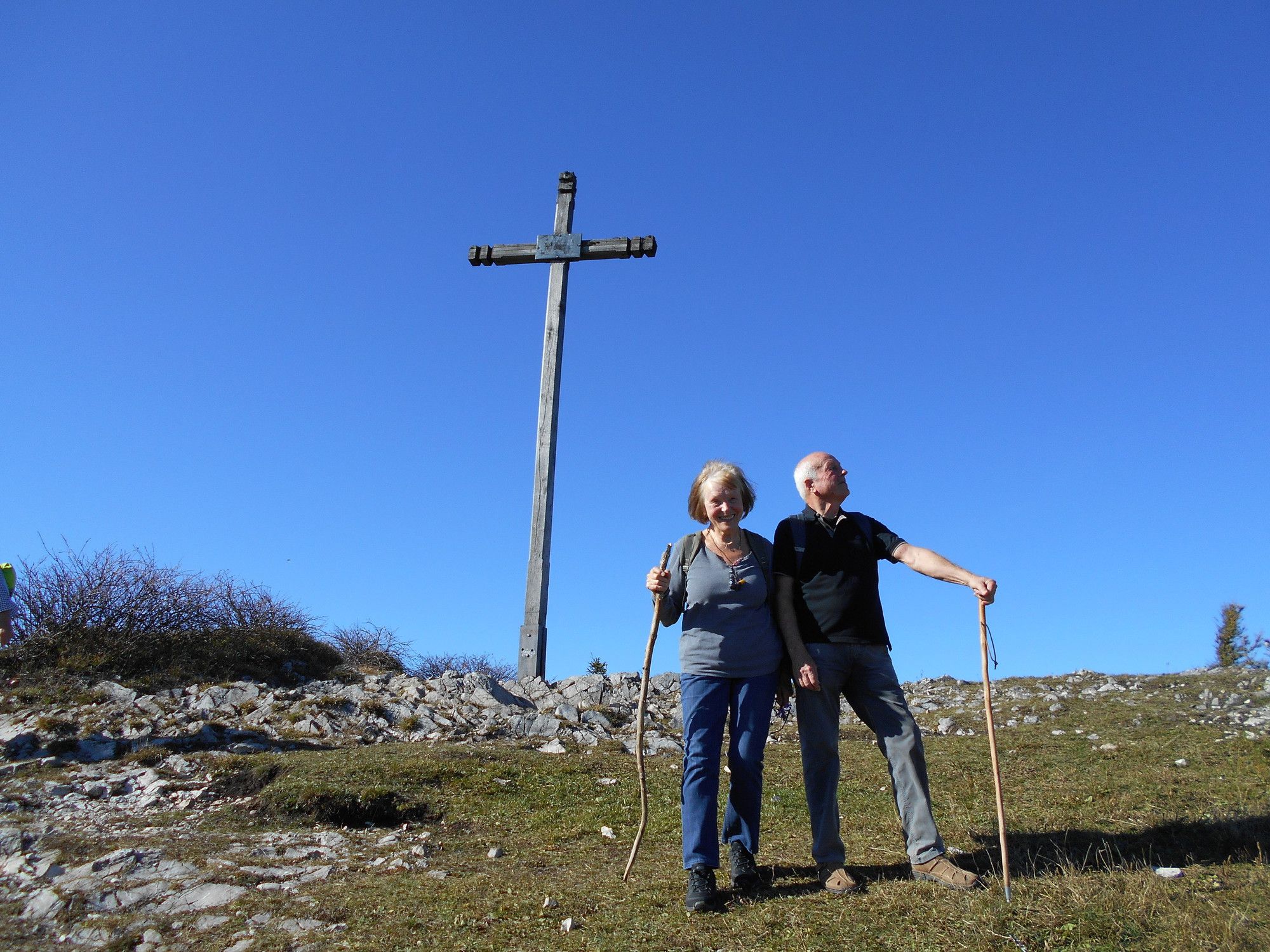
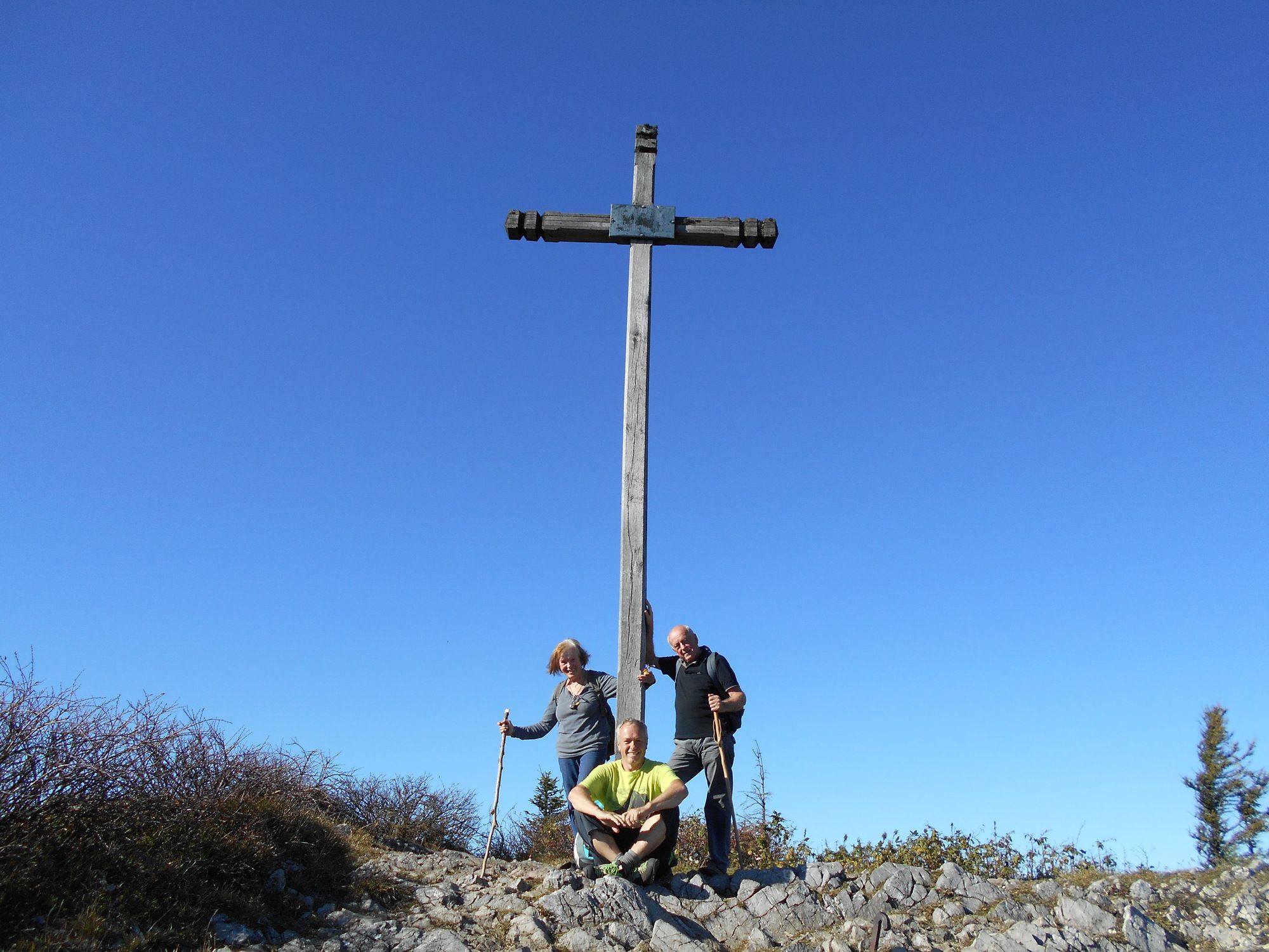
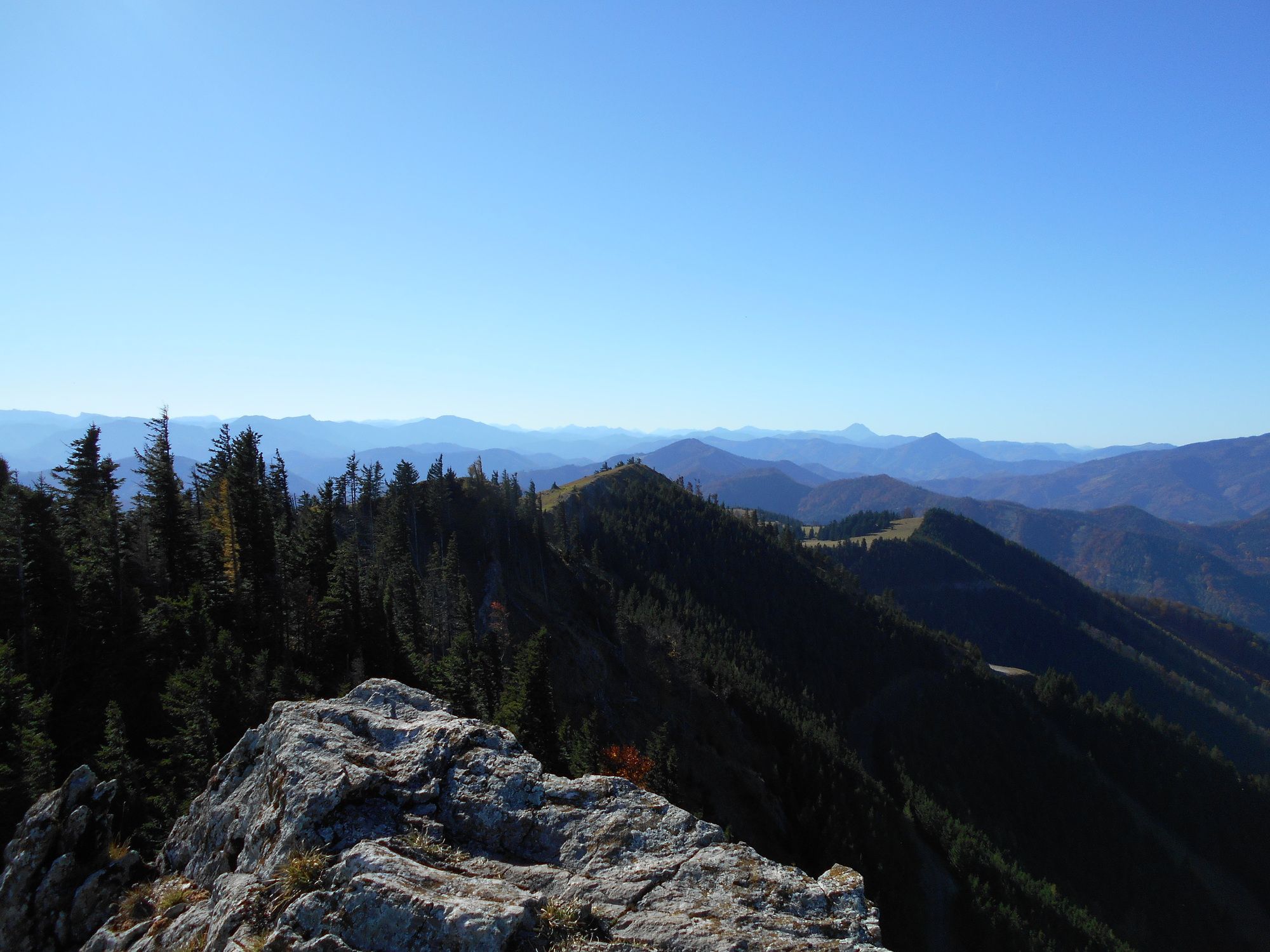
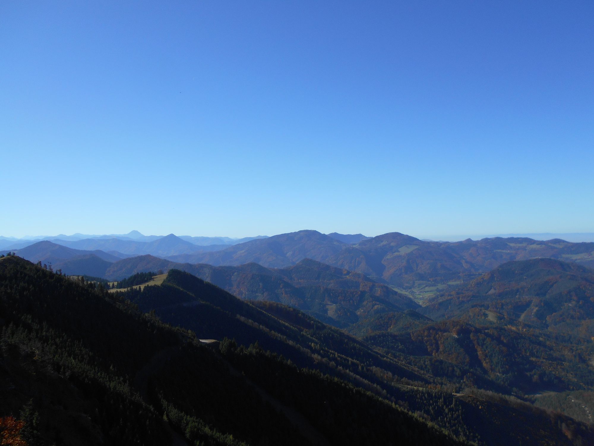
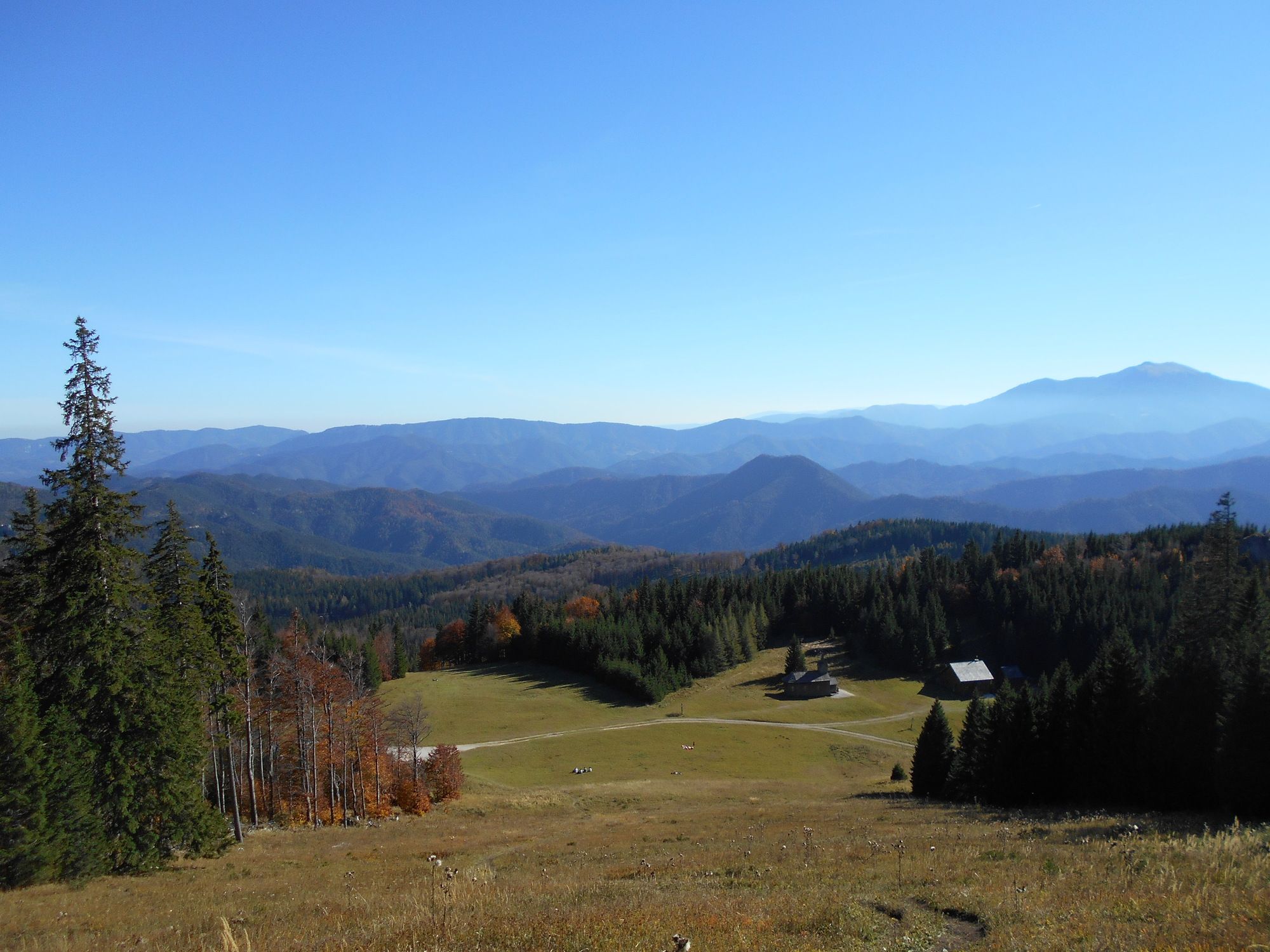
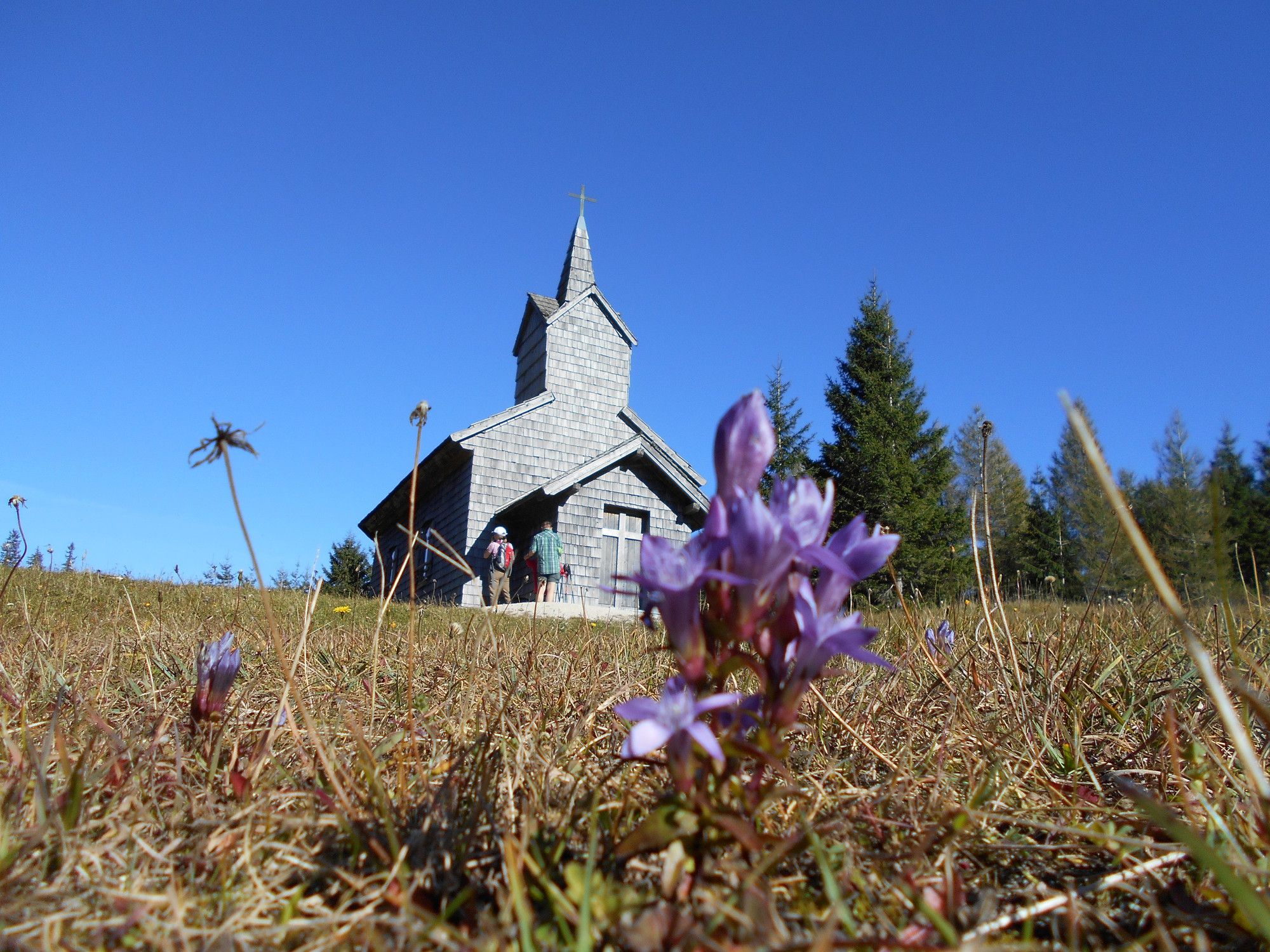
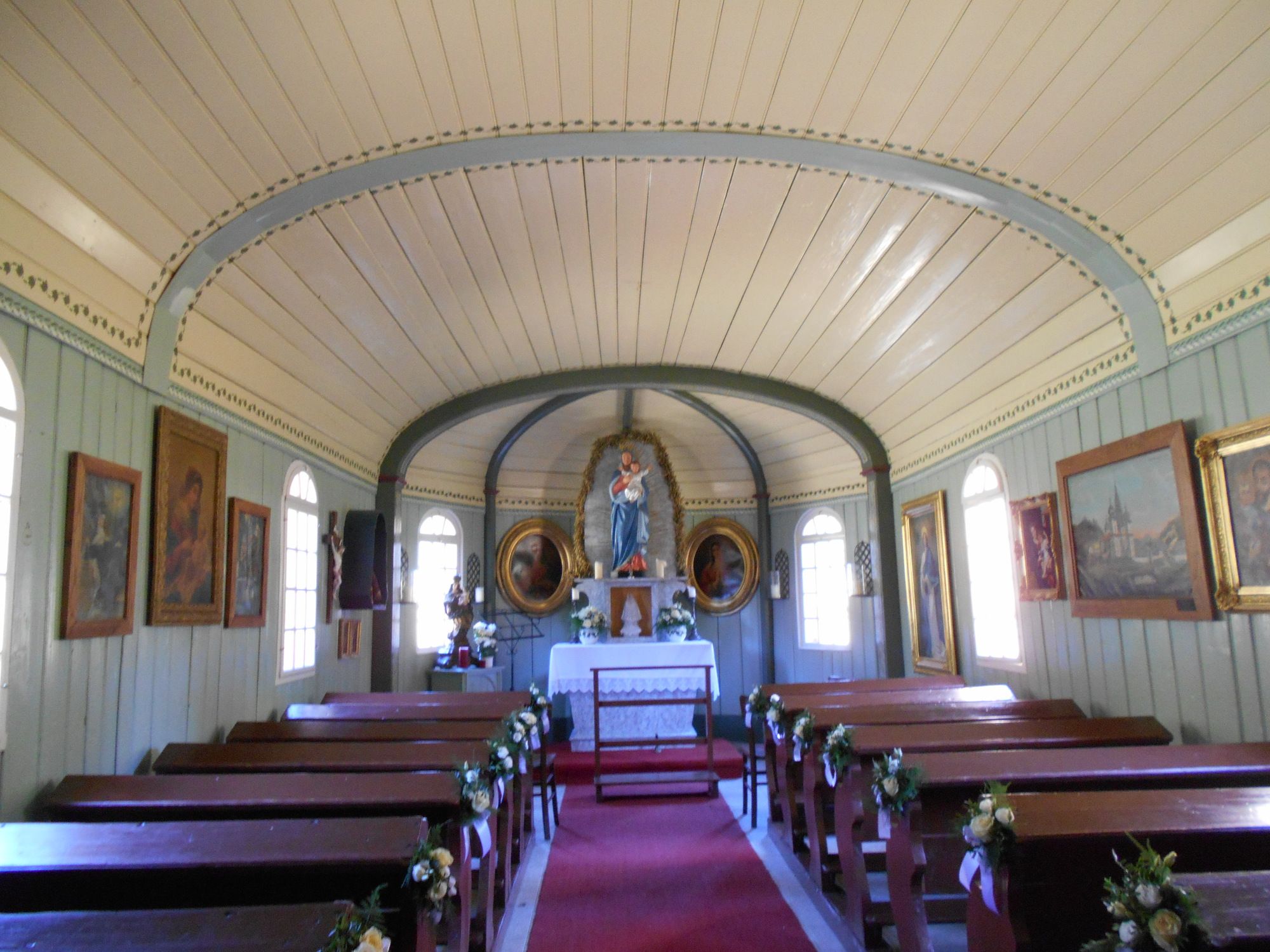
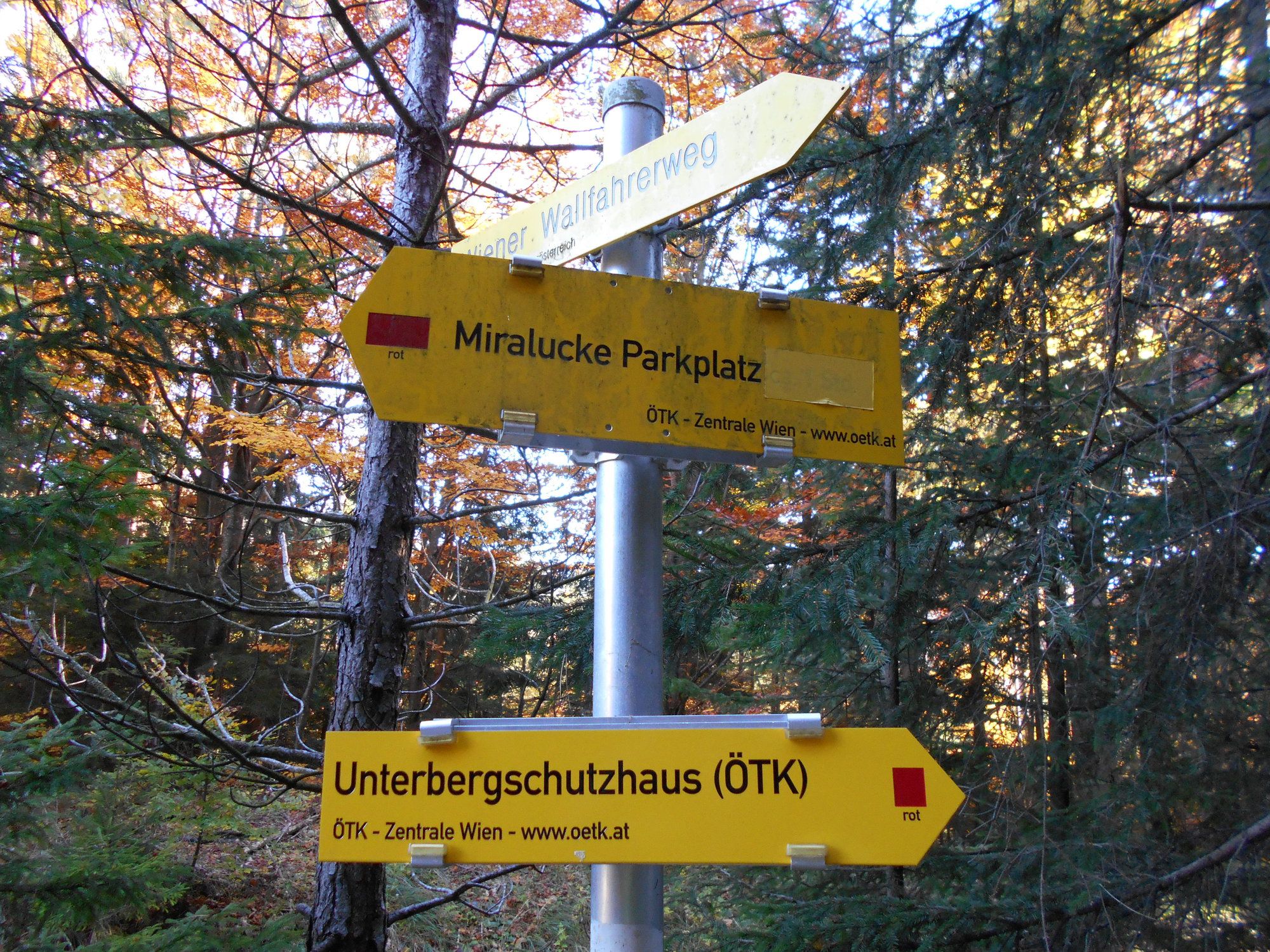
Kirchwaldberg (1,068 m)2.3 kmKammschacht5.5 kmUnterberg (1,342 m)5.8 kmGipfelkluft5.8 kmMaria Einsiedl6.4 kmUnterberg Schutzhaus6.5 km
- Best season
-
JanFebMarAprMayJunJulAugSepOctNovDec
- Highest point
- 1,311 m
- Endpoint
-
Unterberg
- Rest/Retreat
-
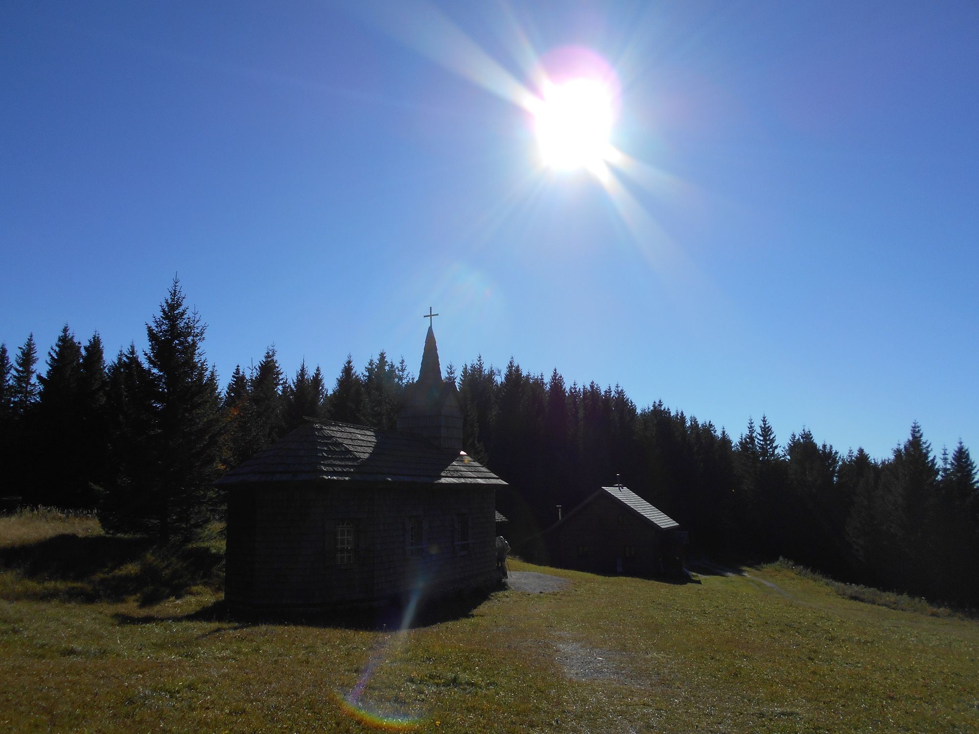
Unterbergschutzhaus


GPS Downloads


Trail conditions
Asphalt
Gravel
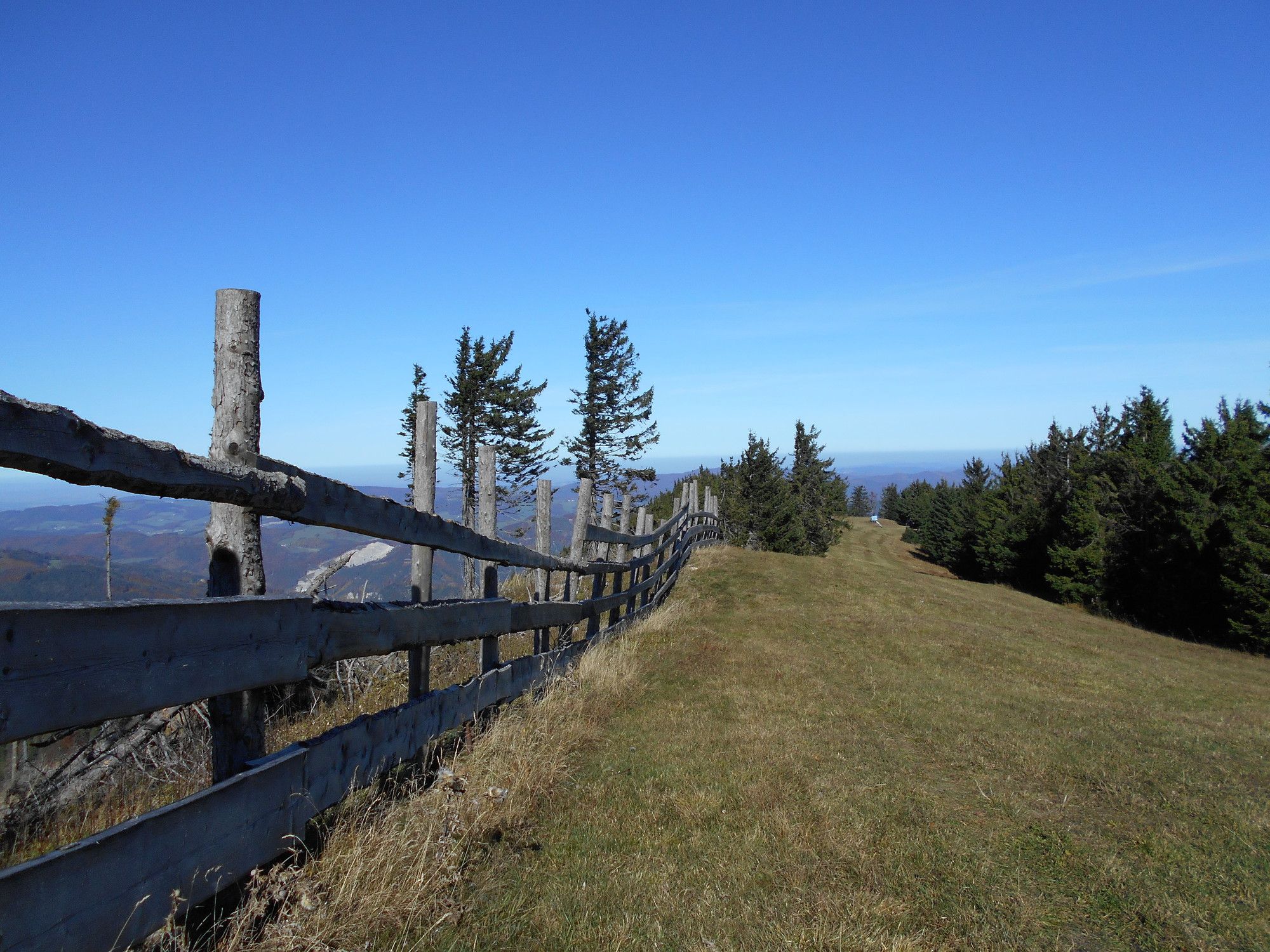
Meadow
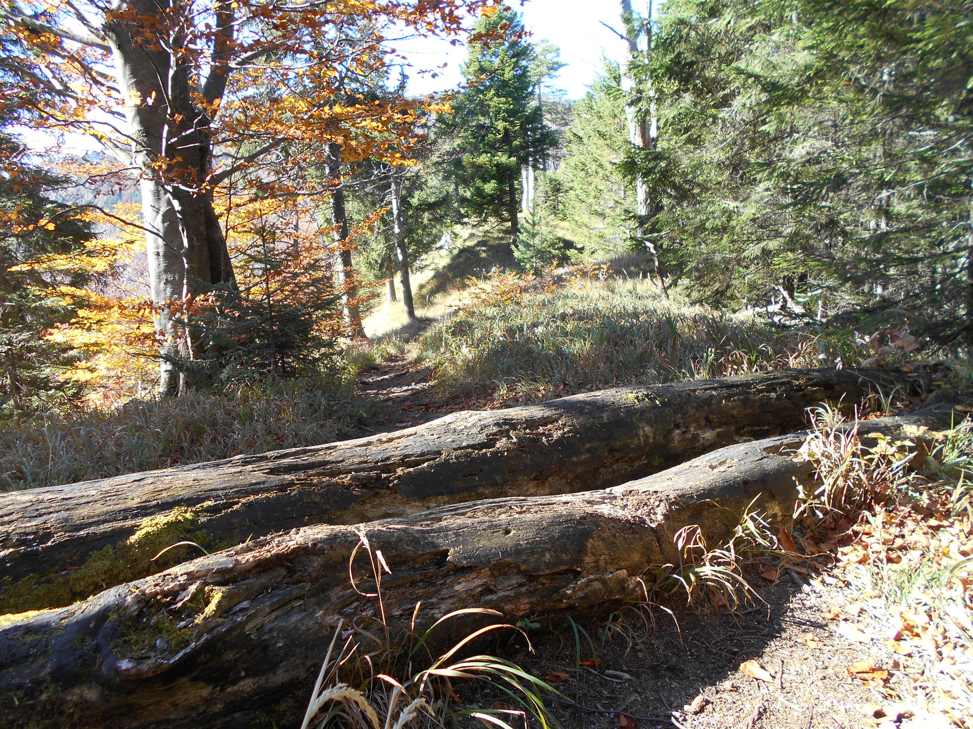
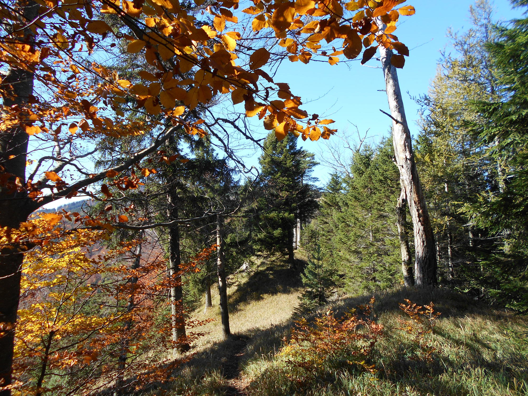
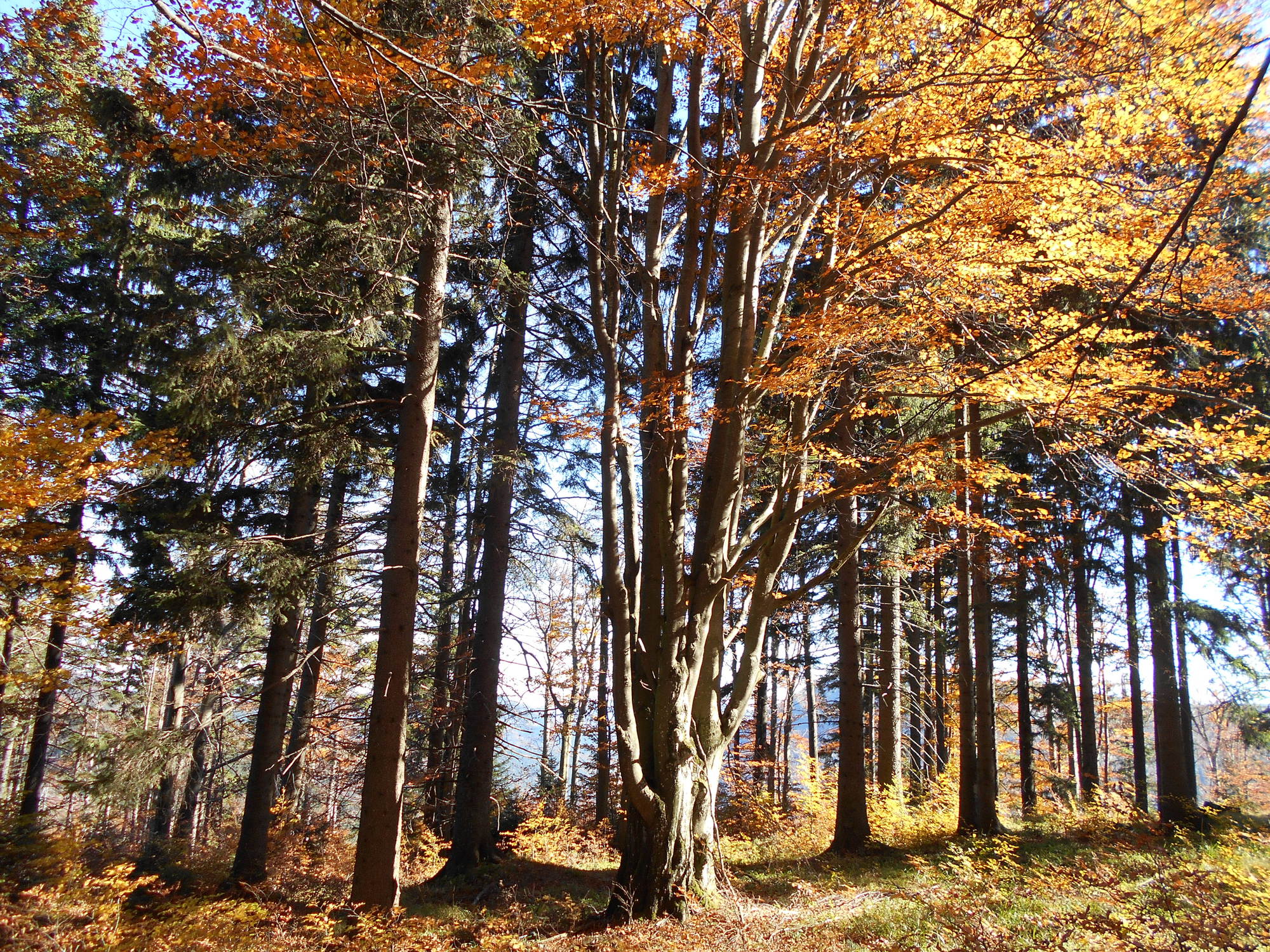
Forest
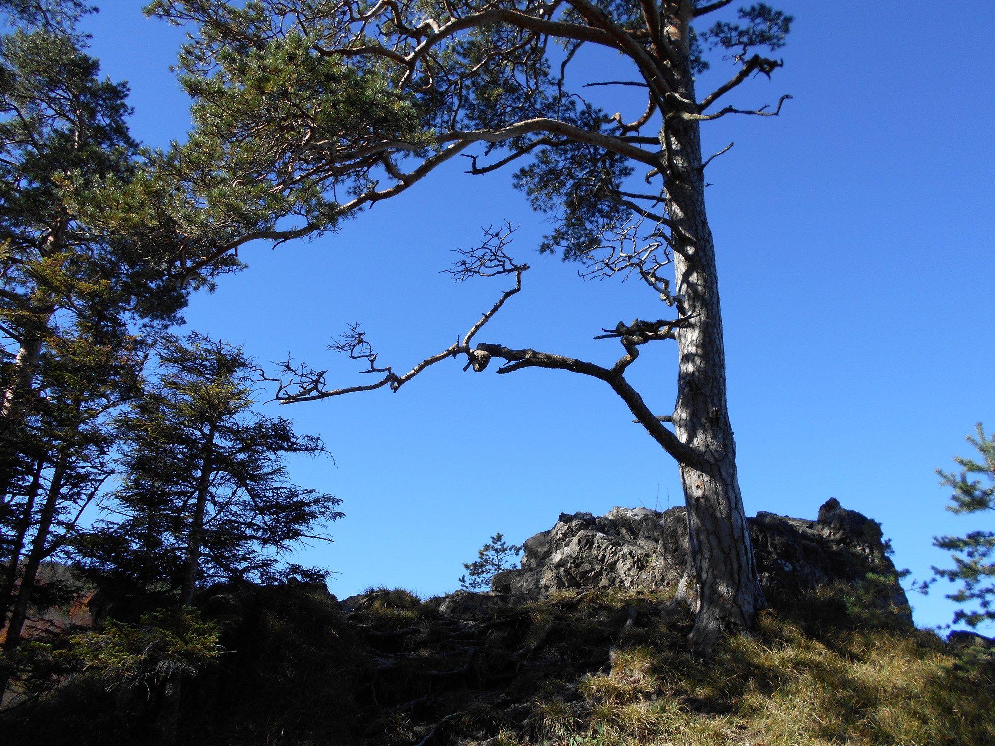
Rock
Exposed
Other tours in the regions
-
Wienerwald
4219
-
Schneebergland - Wiener Alpen
2457
-
Ramsau im Mostviertel
406