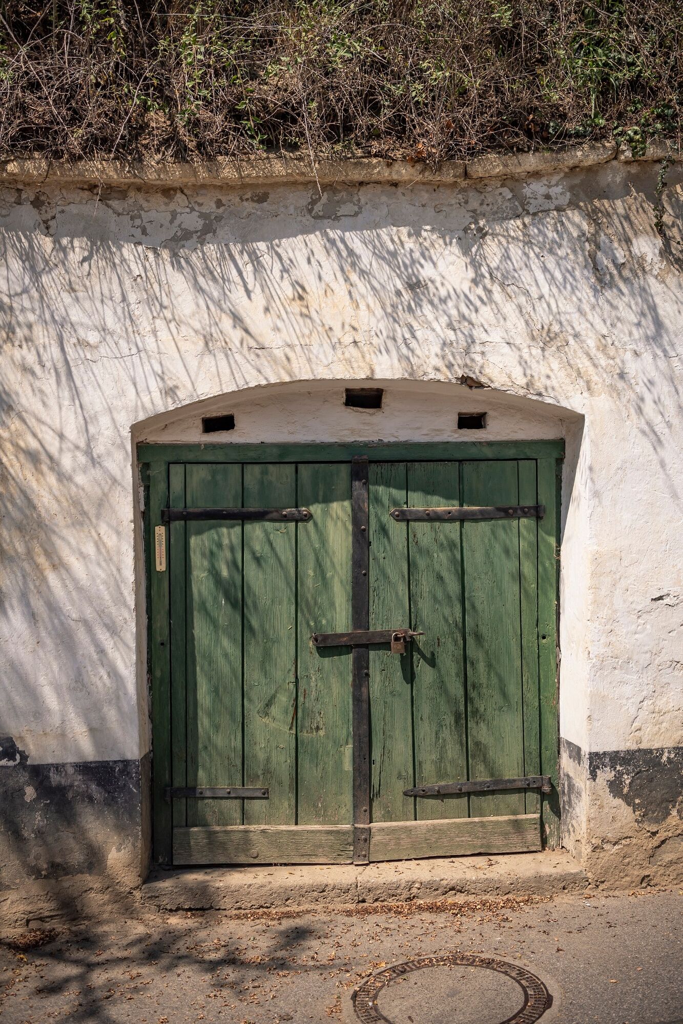
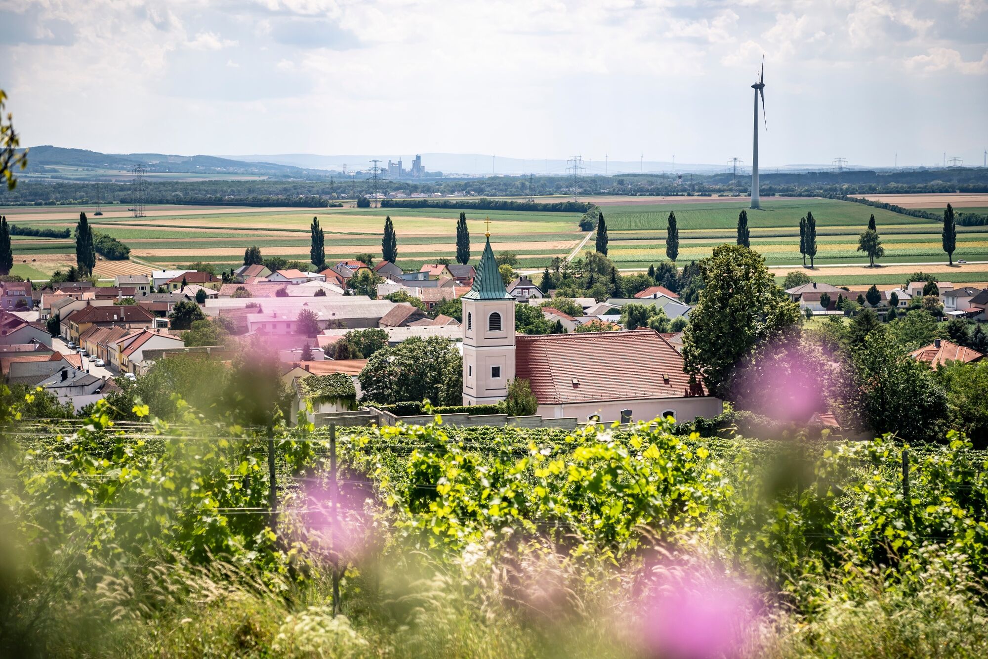
© Donau Niederösterreich Tourismus, Steve Haider

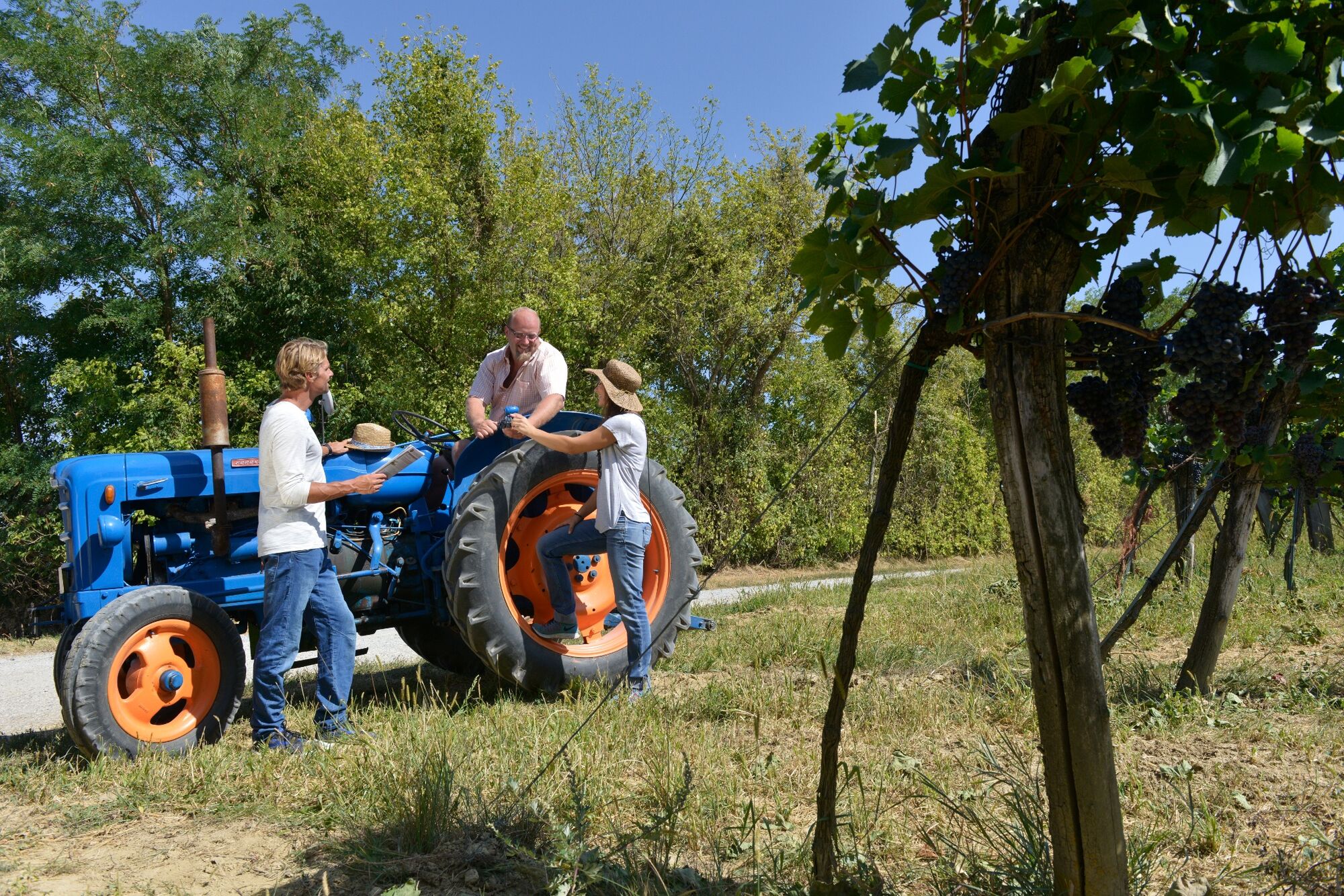
© Donau Niederösterreich - Tourismusbüro Carnuntum-Marchfeld - Donau Niederösterreich, Robert Herbst

© Donau Niederösterreich Tourismus, Steve Haider

© Donau Niederösterreich - Tourismusbüro Carnuntum-Marchfeld - Donau Niederösterreich, Robert Herbst
Tour data
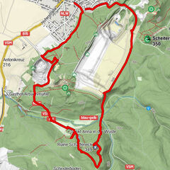
11.93km
165
- 225m
138hm
135hm
03:15h


- Brief description
-
TOP-Wanderweg: Weinwandern in drei Etappen - Rundweg Stixneusiedl - VIA.VINUM.
- Difficulty
-
easy
- Rating
-
- Route
-
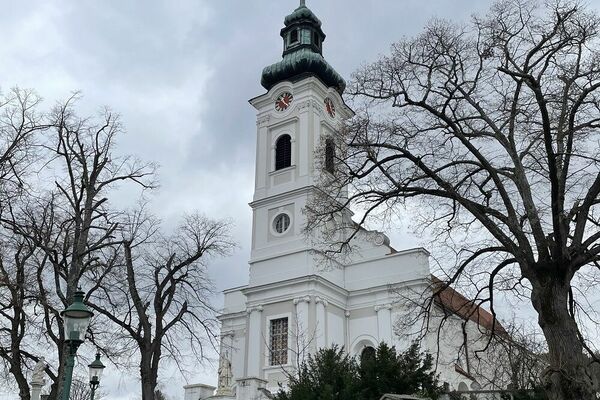
Pfarrkirche hll. Peter und PaulStixneusiedl0.0 kmHeuriger Hillinger0.1 kmHeuriger Flanitzer0.2 kmGaisberg (236 m)0.3 kmStixberg (230 m)0.3 kmGablerberg (217 m)2.9 kmArbesthal4.4 kmAutogrill7.1 kmStixneusiedl11.8 kmPfarrkirche hll. Peter und Paul11.8 km
- Best season
-
JanFebMarAprMayJunJulAugSepOctNovDec
- Highest point
- 225 m
- Endpoint
-
Kellergasse Stixneusiedl bzw. Bahnhof Sarasdorf
- Height profile
-


- Author
-
The tour VIA.VINUM. - Rundweg Stixneusiedl is used by outdooractive.com provided.
GPS Downloads


Other tours in the regions