


- Brief description
-
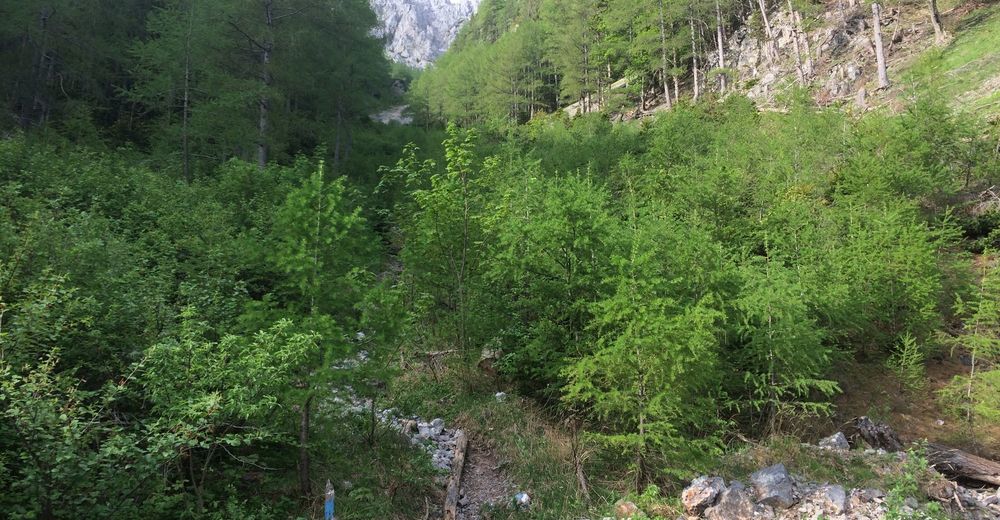
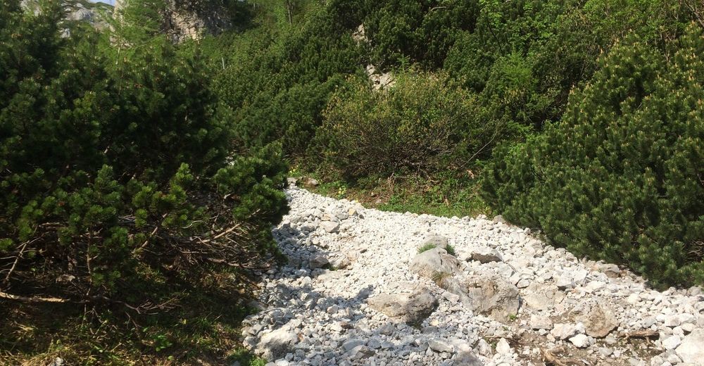
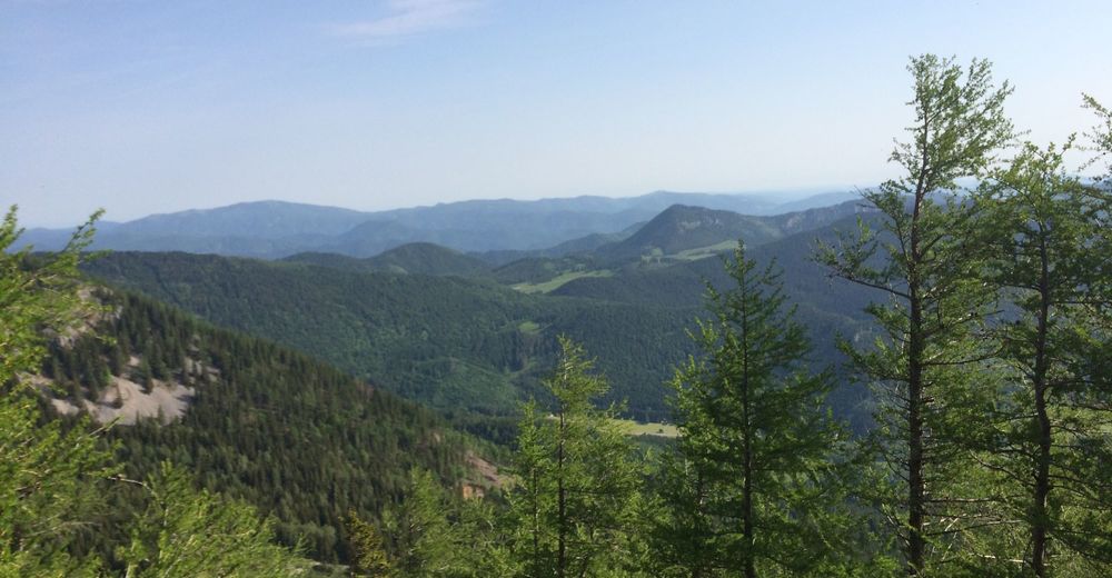
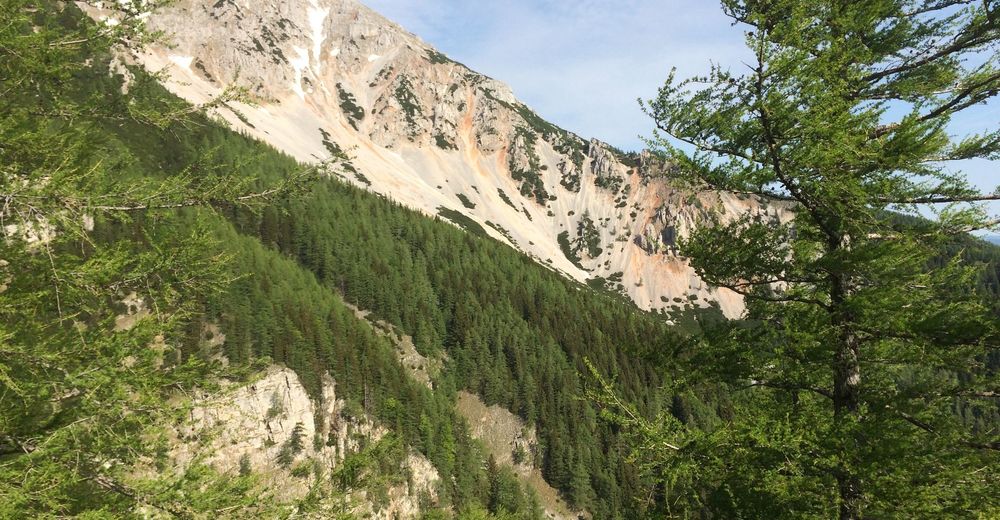
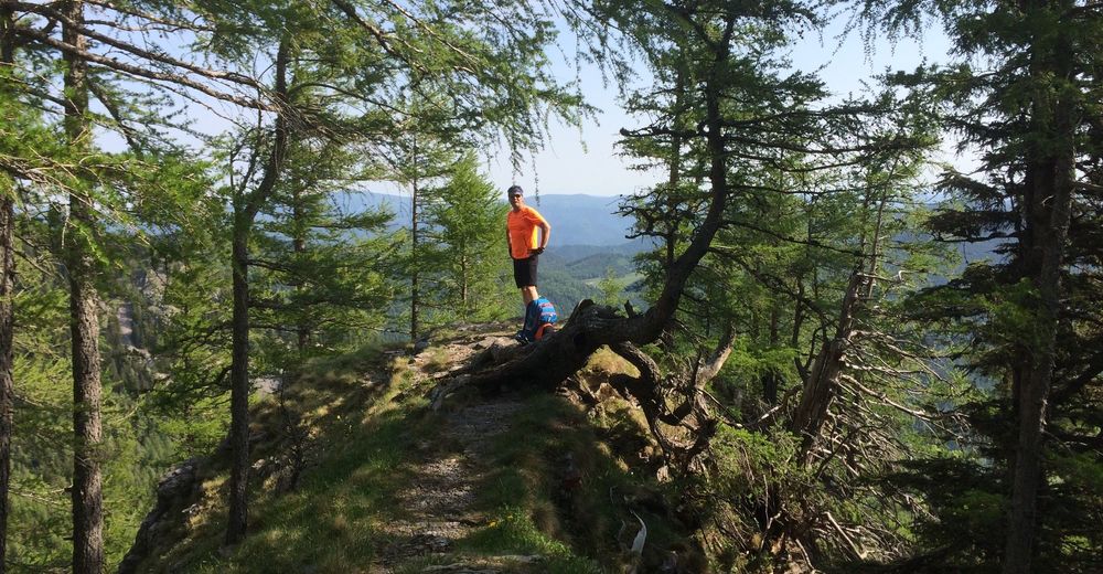
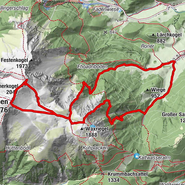
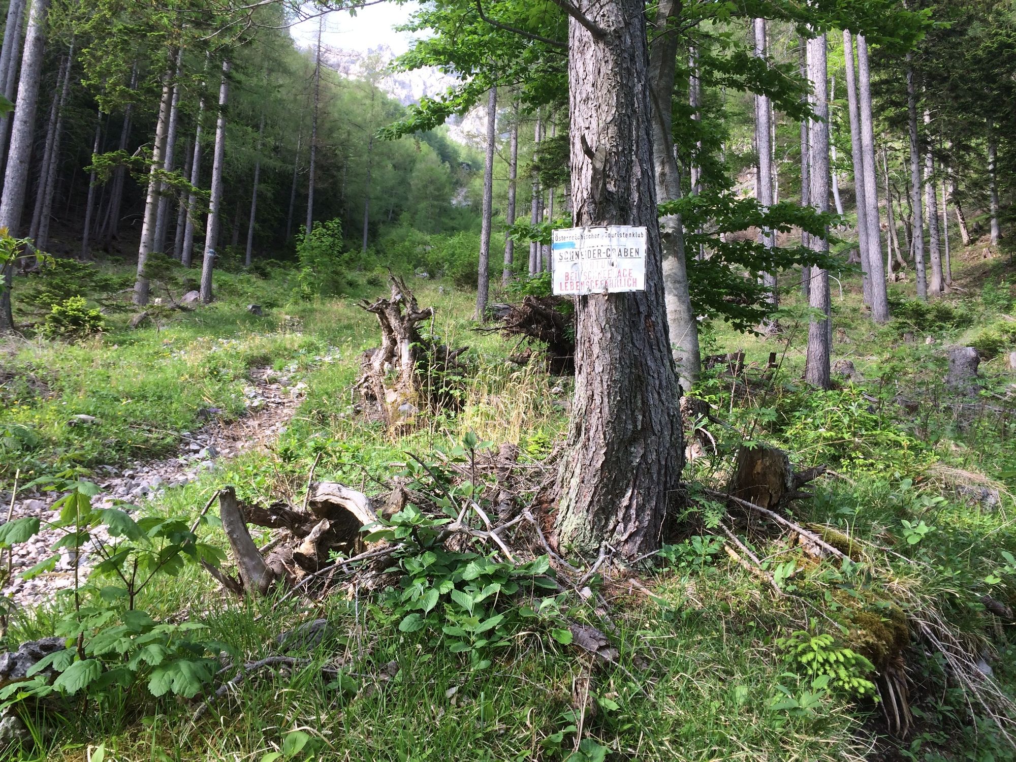
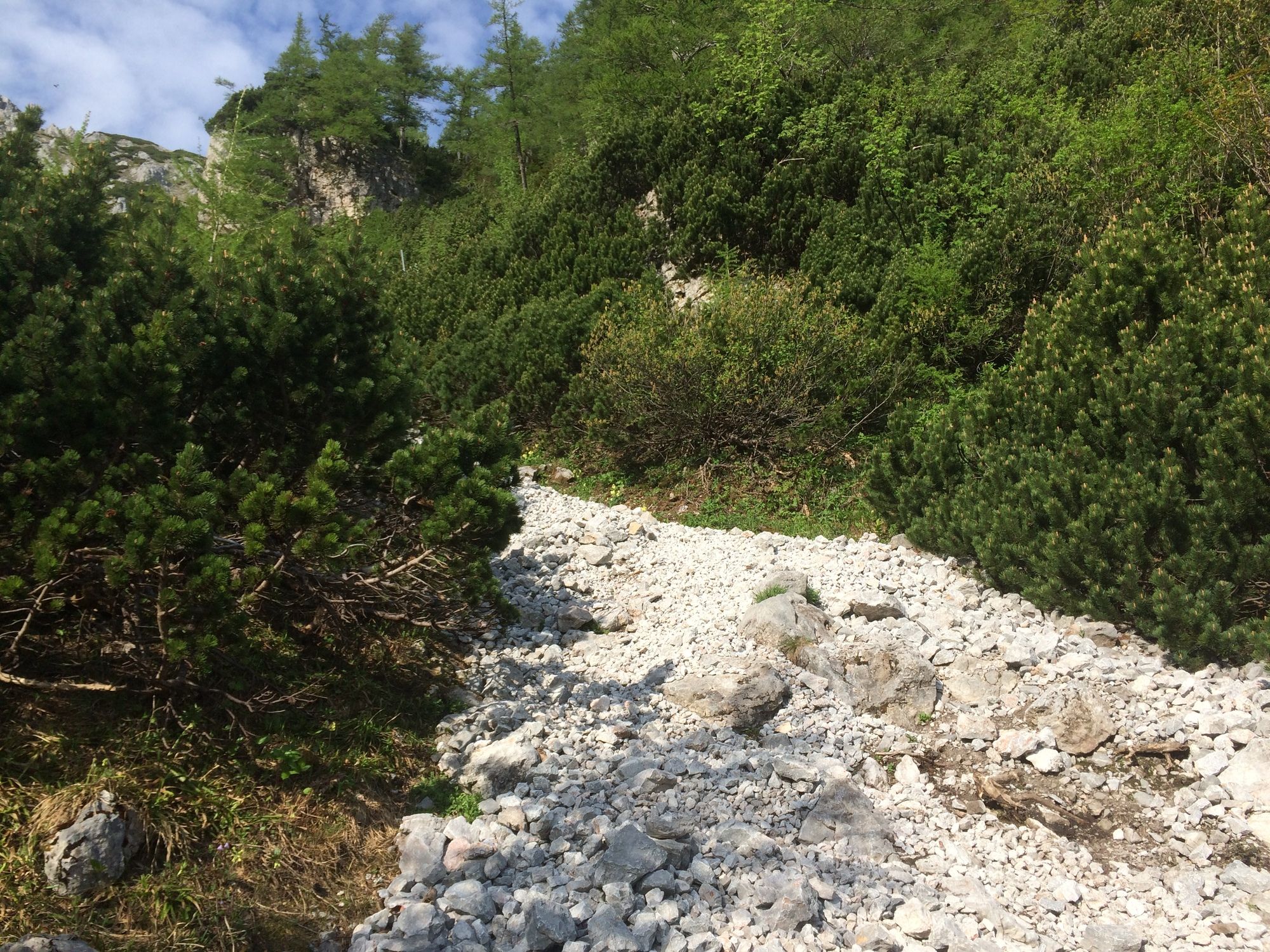
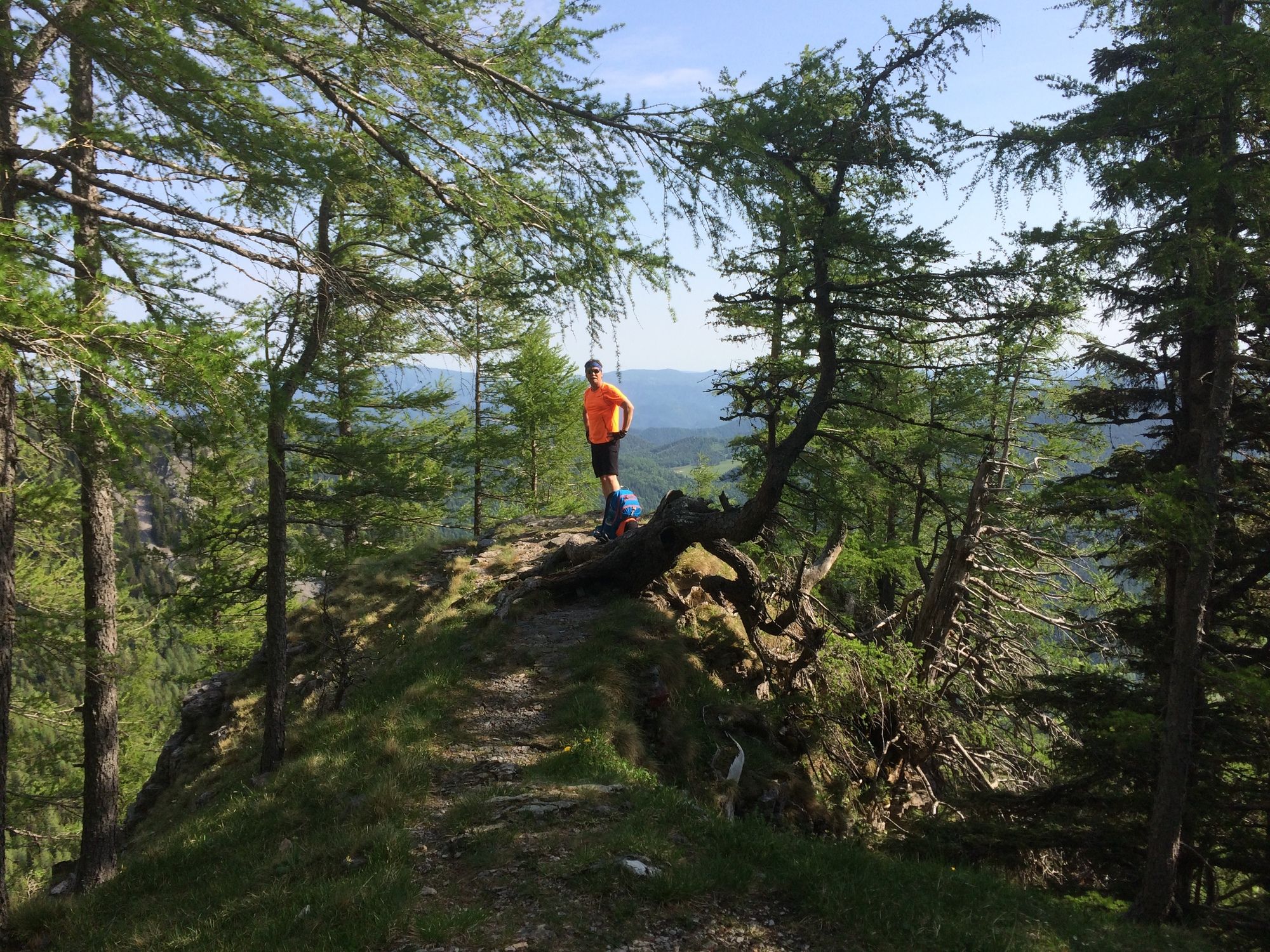
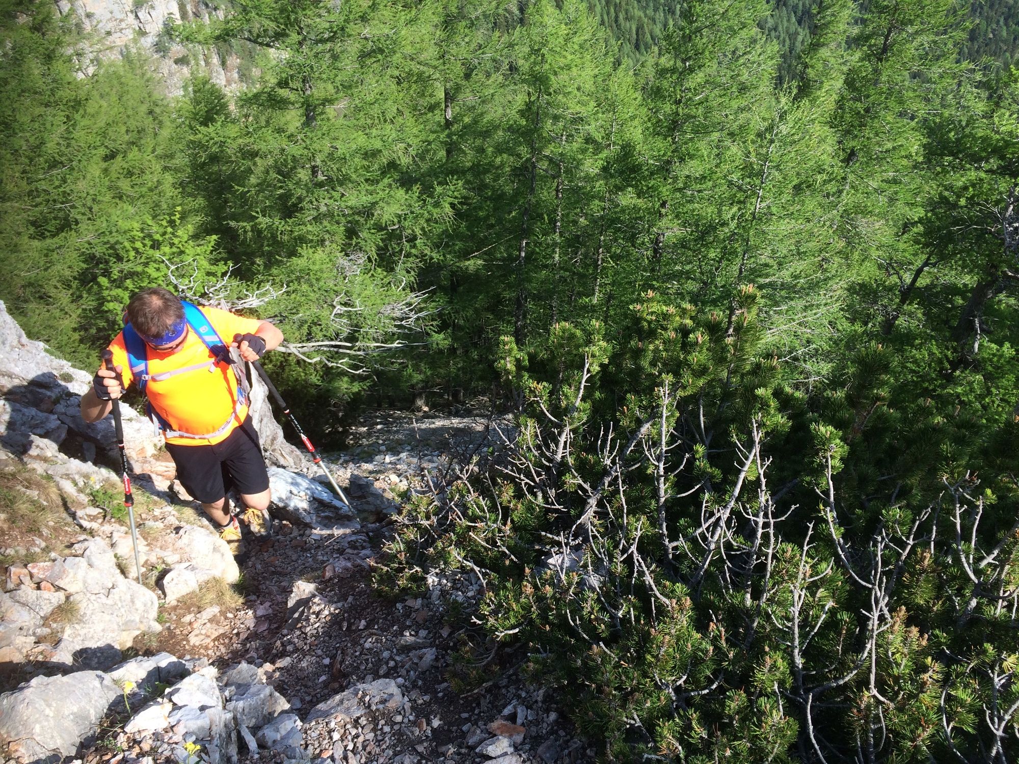
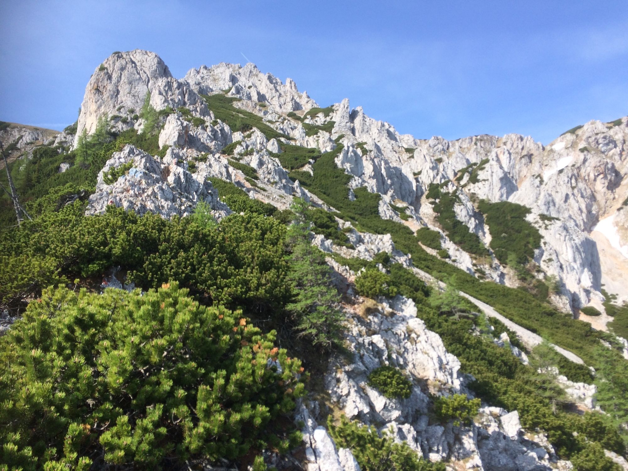
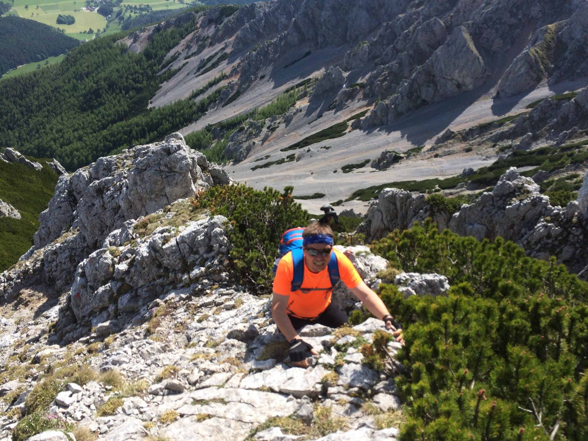
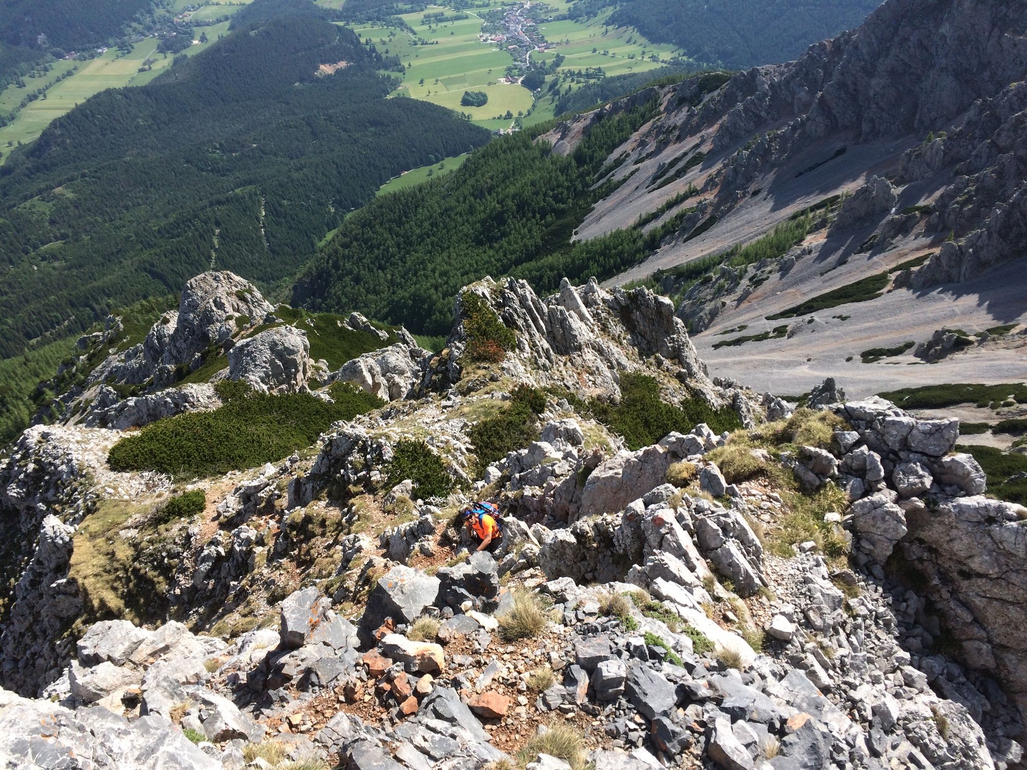
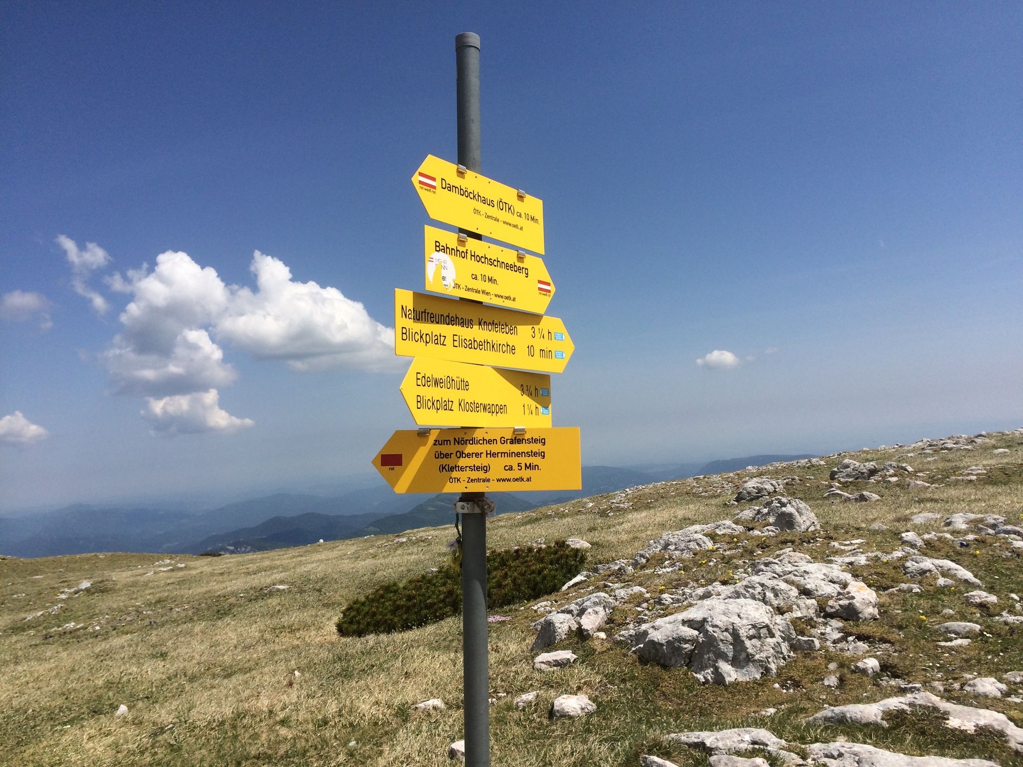
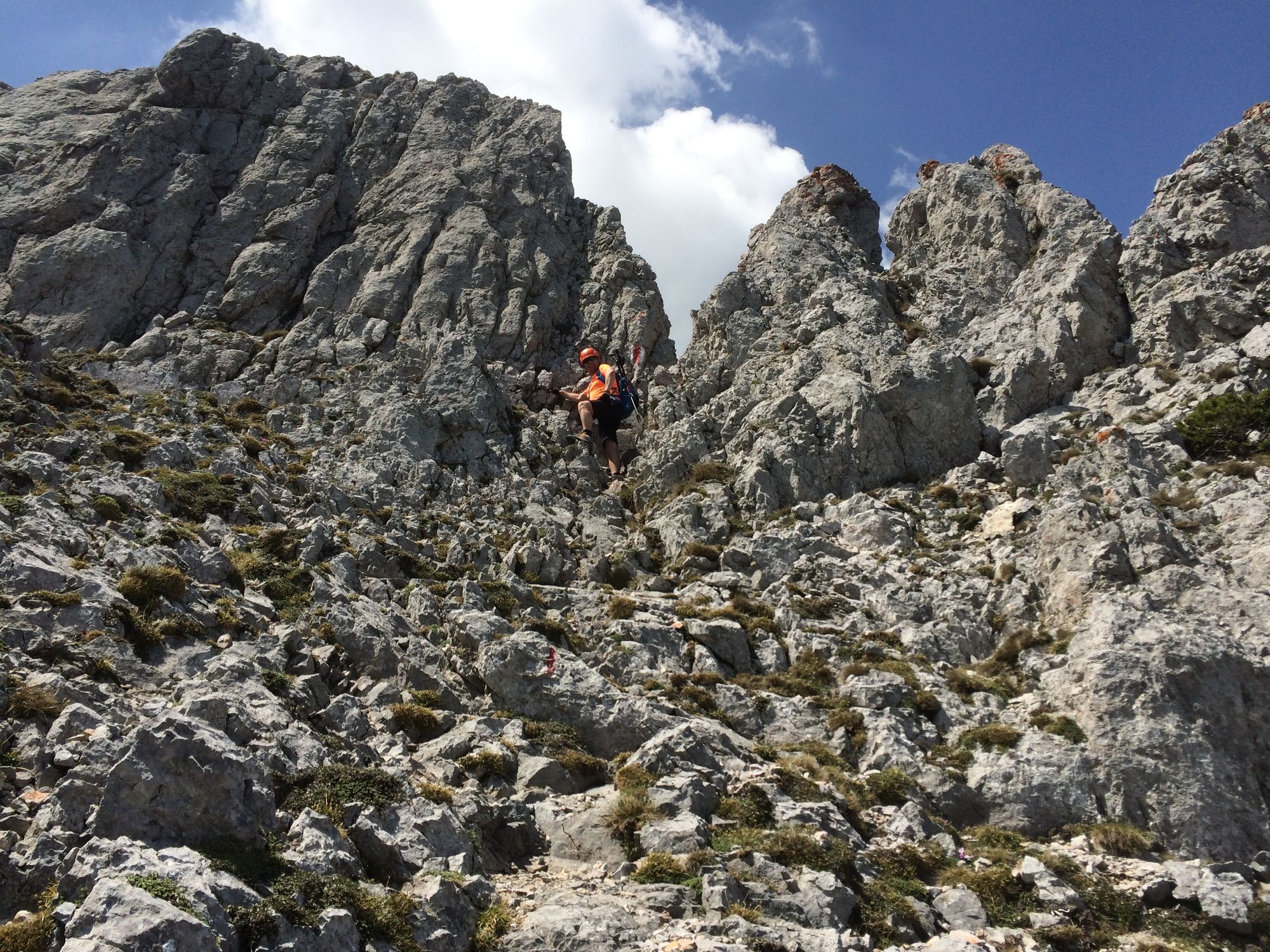
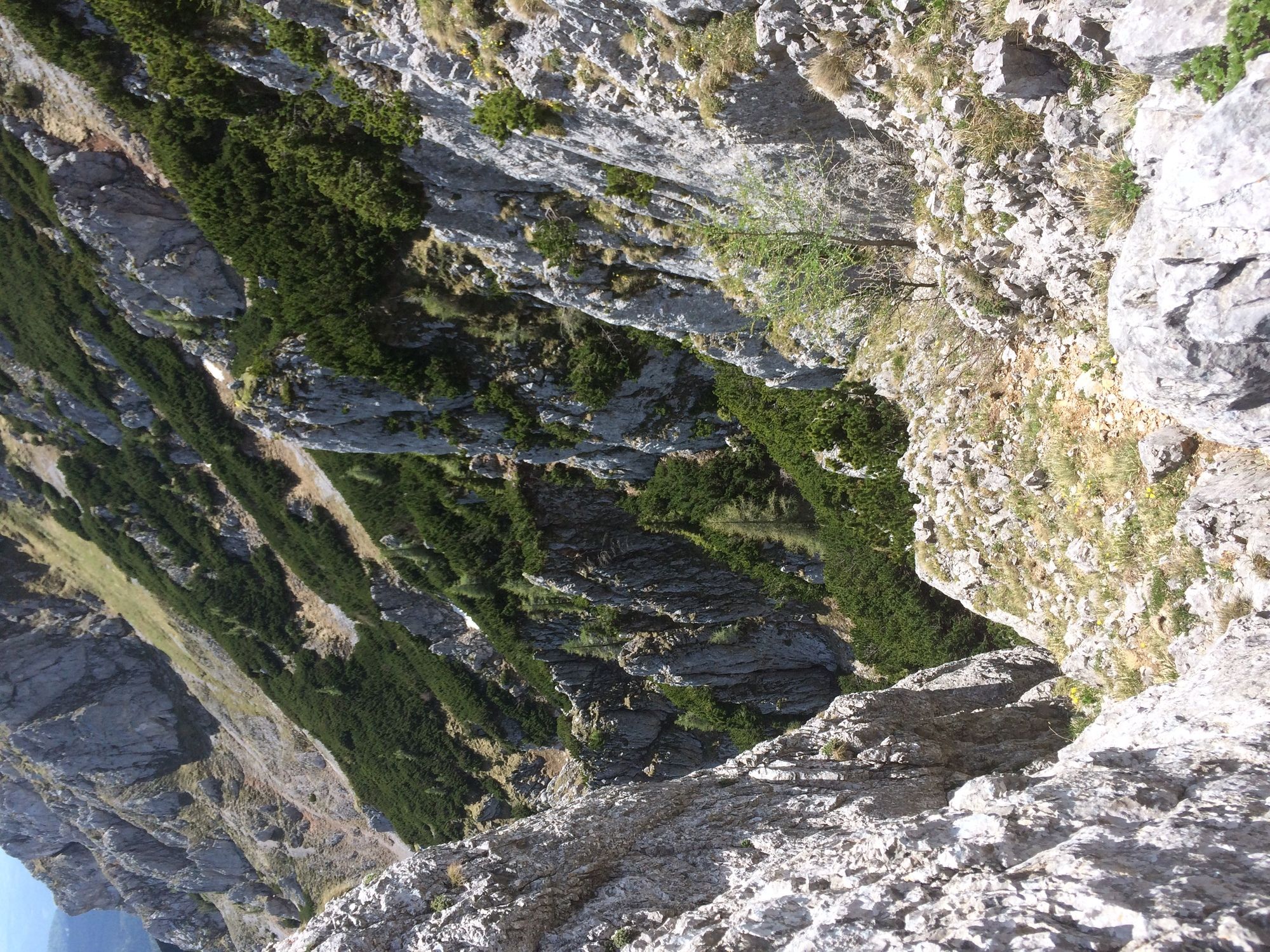
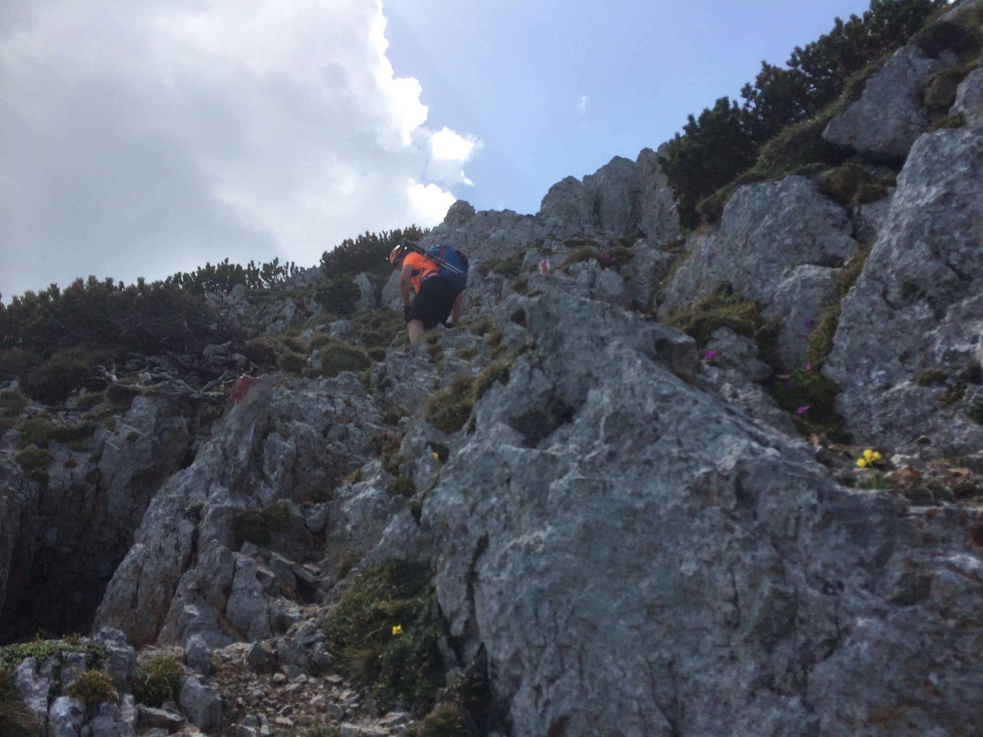
Vom Schneebergdörfl über Schneidergraben und Novembergrat auf den Schneeberg Gipfel. Rückweg über oberen und unteren Herminensteig
- Difficulty
-
medium
- Rating
-
- Starting point
-
Schneebergdörfl, unterhalb des Schwabenhofes
- Route
-
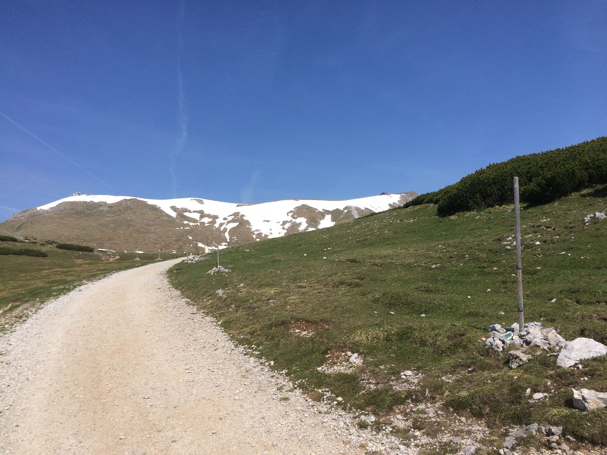
Taufbrunnen2.0 kmTaufbrunnenlucke2.0 kmSitzstatt3.5 kmMiesriegel (1,907 m)5.6 kmKlosterwappen (2,076 m)6.7 kmDonnerkogel (2,047 m)7.3 kmKaiserstein (2,061 m)7.5 kmFischerhütte7.5 kmDurchgangshöhle7.6 kmOchsenboden8.7 kmDamböckhaus9.7 km
- Best season
-
JanFebMarAprMayJunJulAugSepOctNovDec
- Highest point
- 2,051 m
- Endpoint
-
Ausgangspunkt
- Rest/Retreat
-
Damböckhaus oder Fischerhütte (beides am Hochplateau)


- Source
- Helmut Bürbaum
Wunderschöne Tour! In 4 Stunden aber für Normalberggeher definitiv nicht zu bewältigen. Allein der Aufstieg über den Novembersteig dauert so lange. Nimmt man auch den Gipfel wie auf der Kartenroute angezeigt mit sollte man mit Pausen insgesamt wohl zumindest 8 Stunden einplanen.
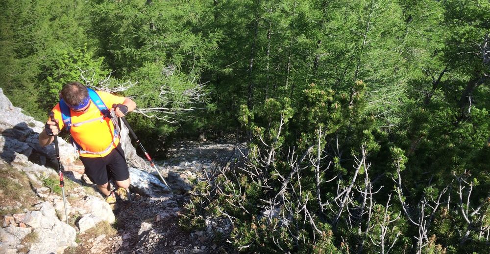
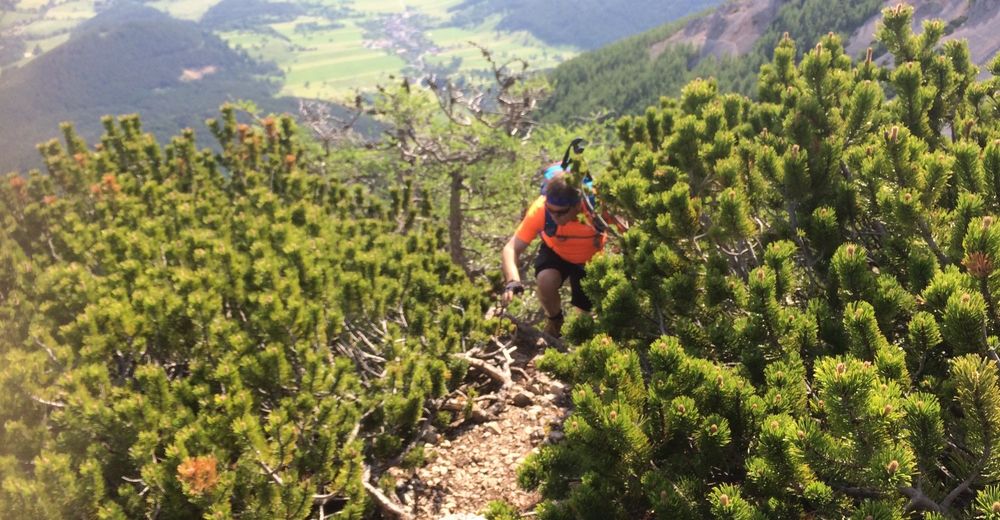
Diese route ist definitiv keine, die ich als rot einschätzen würde. Das Novembergrad ist durchaus herausfordernd u gefährlich, dies kommt in der Tourenbeschreibung nicht ganz gut heraus. Eine nette Route, aber nichts für unerfahrene Menschen


Trail conditions
-
Hochsteiermark
4082
-
Semmering - Rax
2314
-
Reichenau / Rax - Raxalpe
937


