
© hel
© hel
© hel
© hel
© hel
© hel
© hel
© hel
© hel
© hel
Tour data
15km
224
- 671m
665hm
665hm
05:00h

- Brief description
-
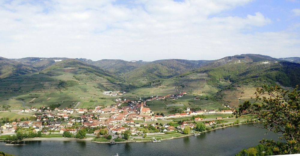
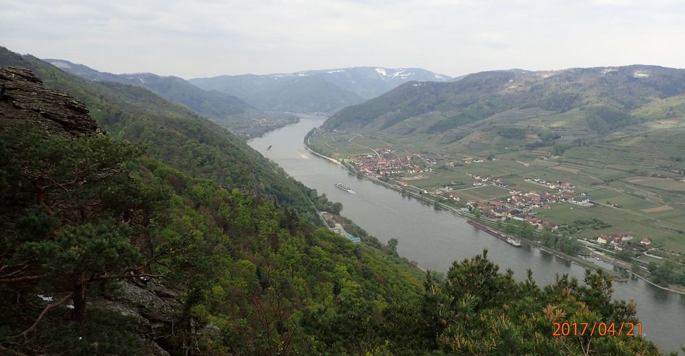
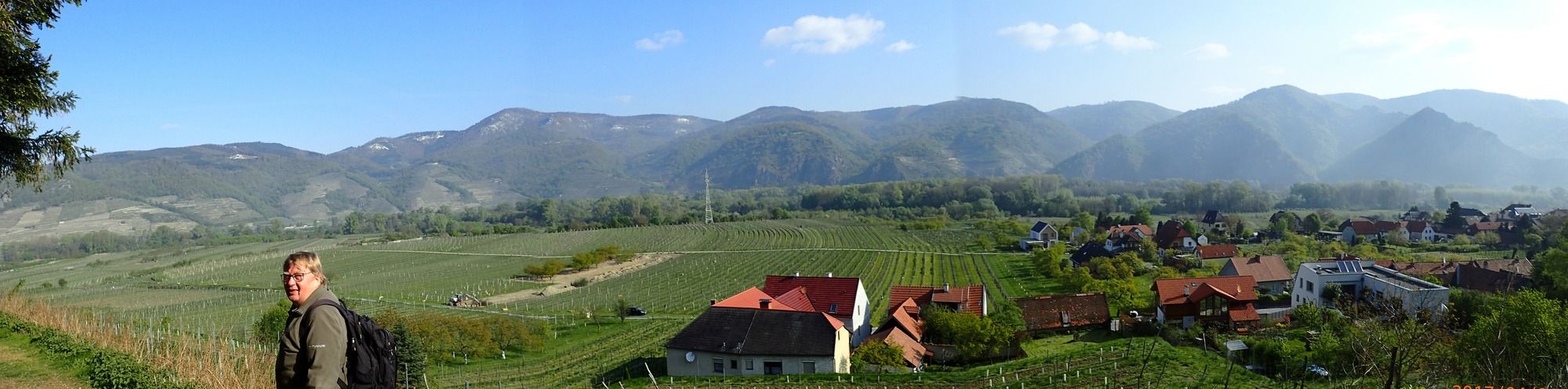
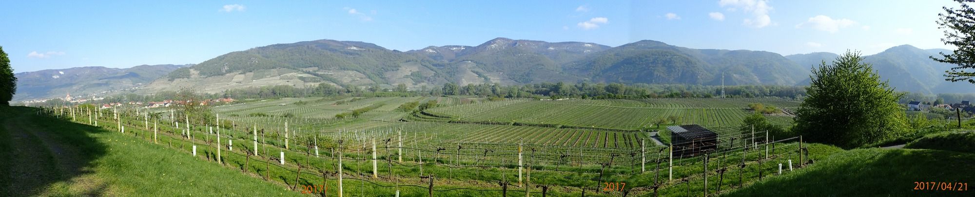
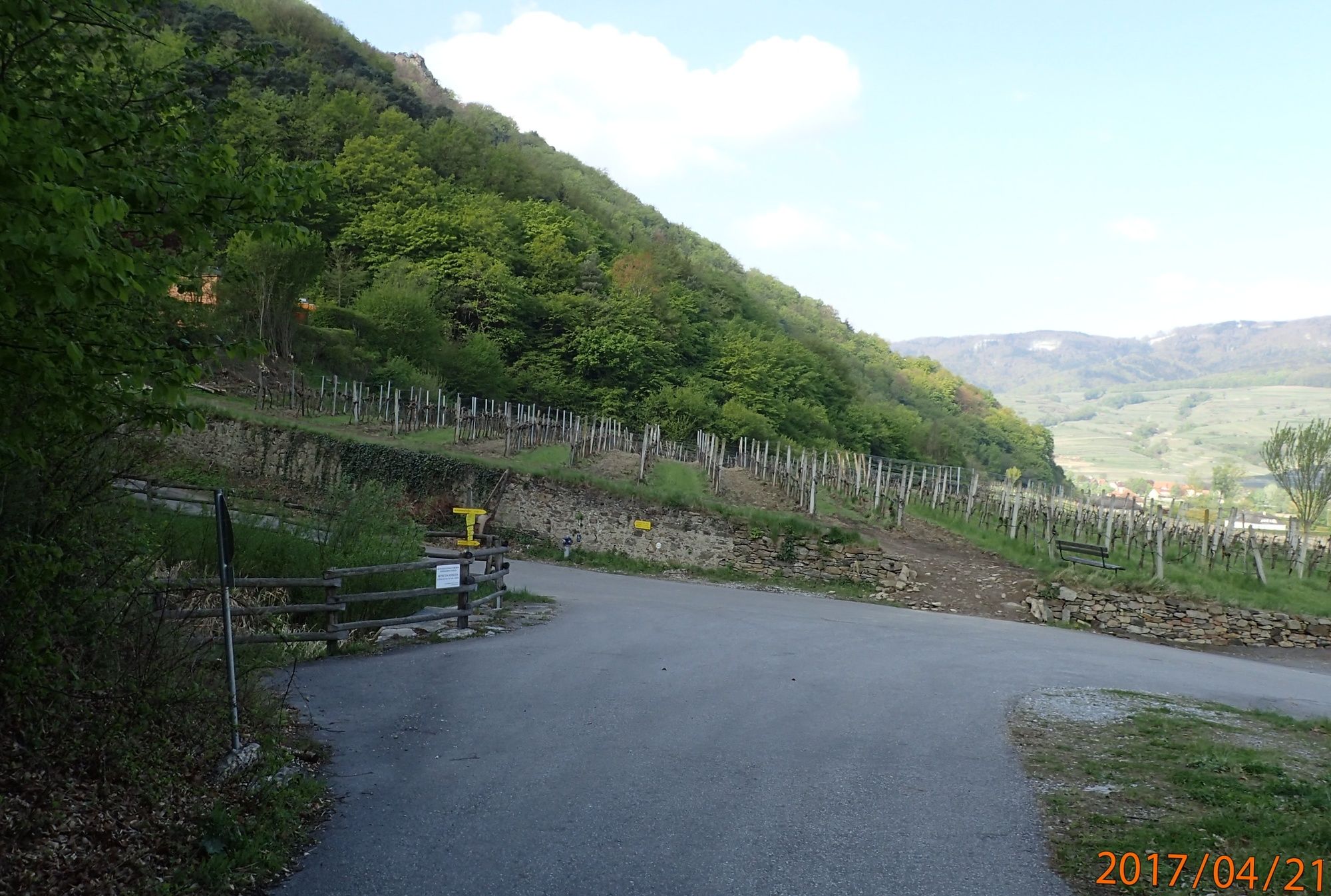
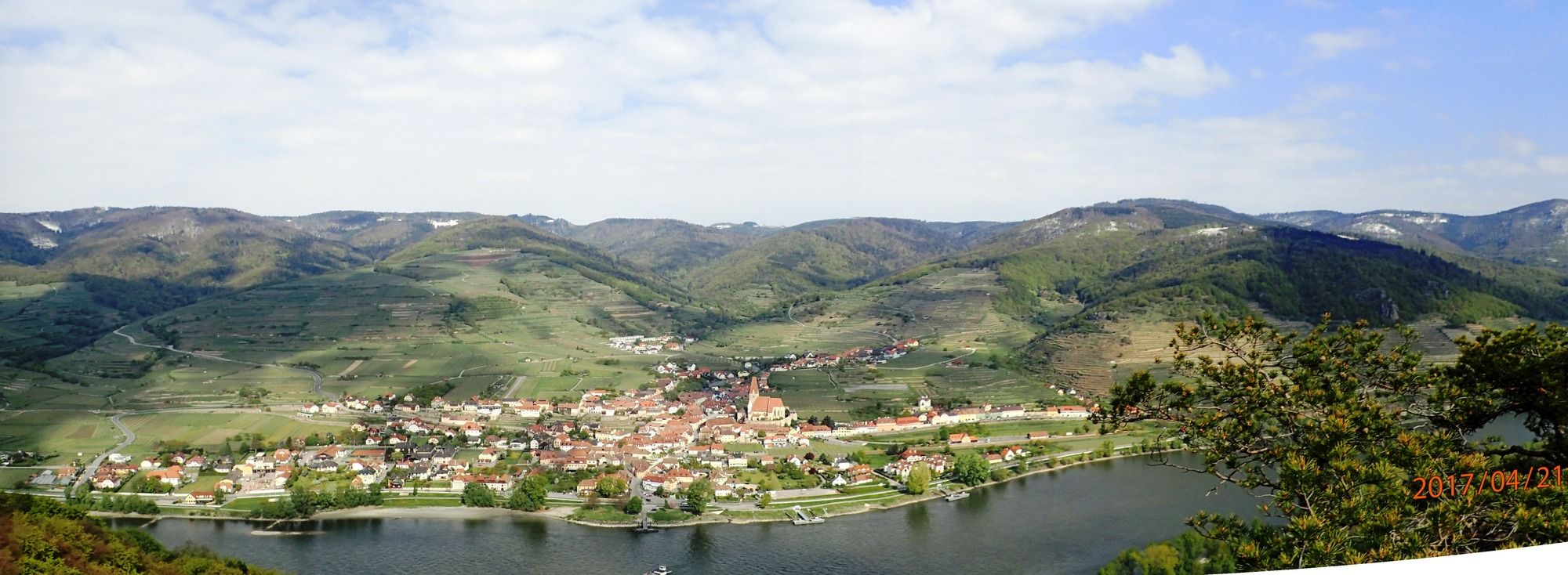
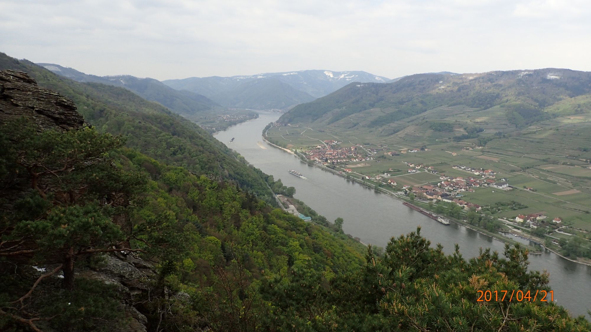
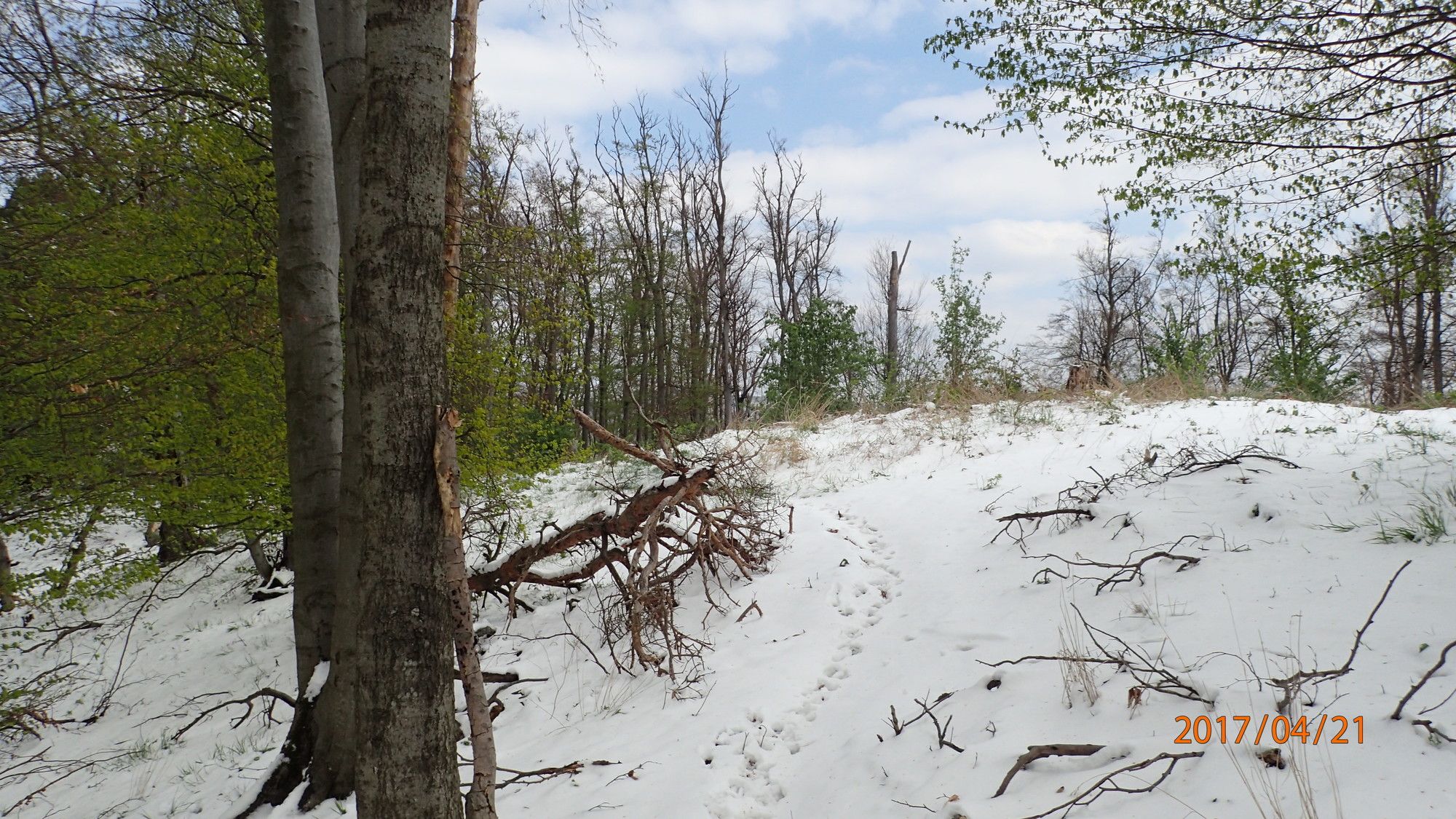
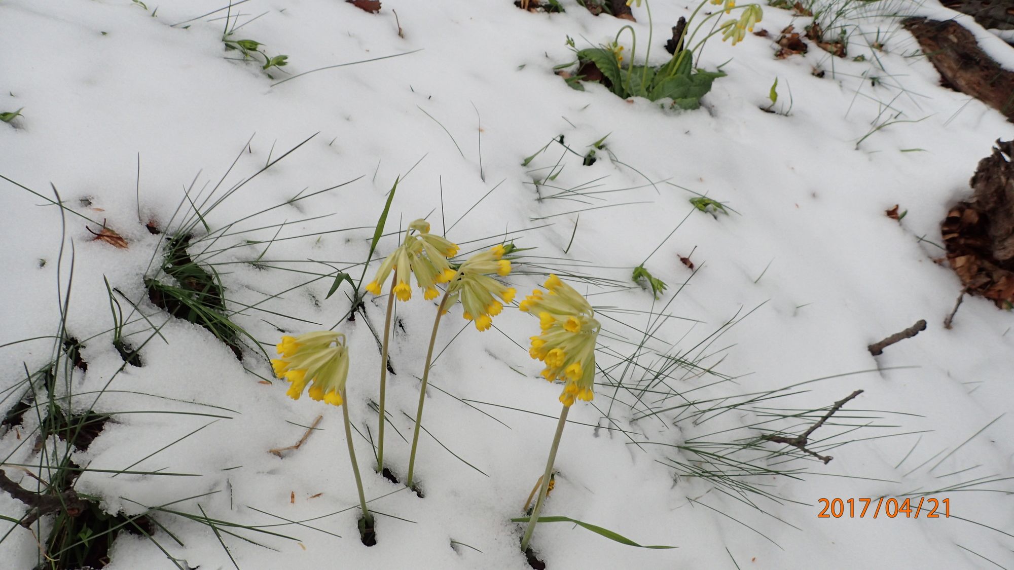
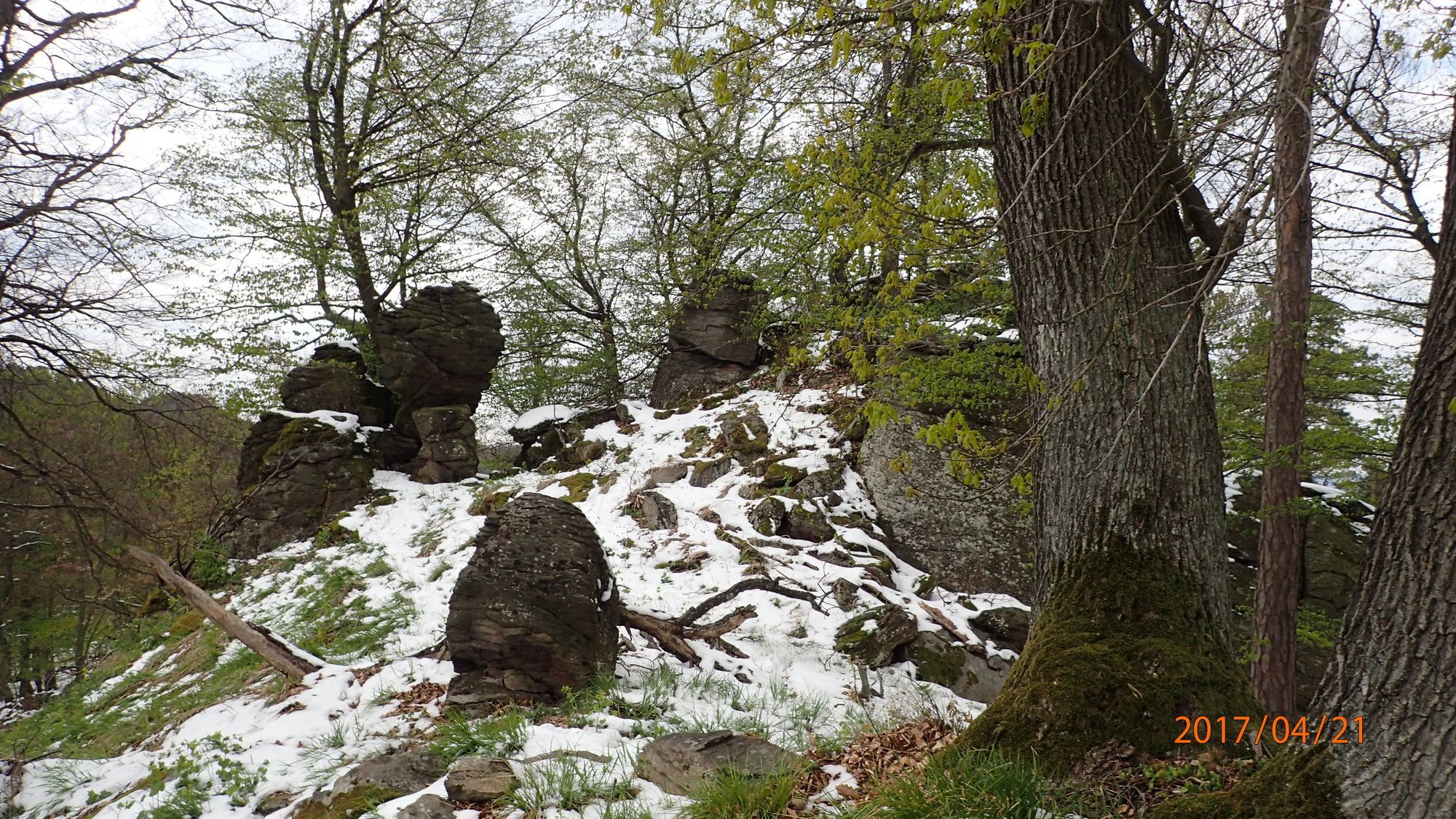
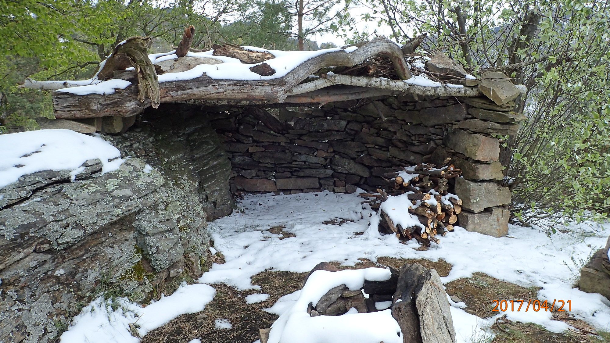
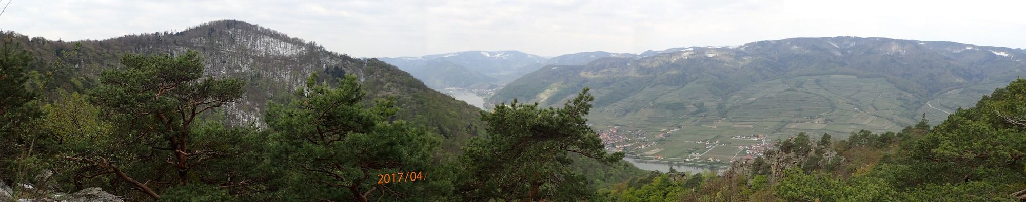
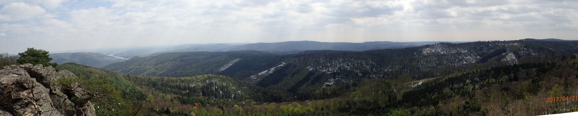
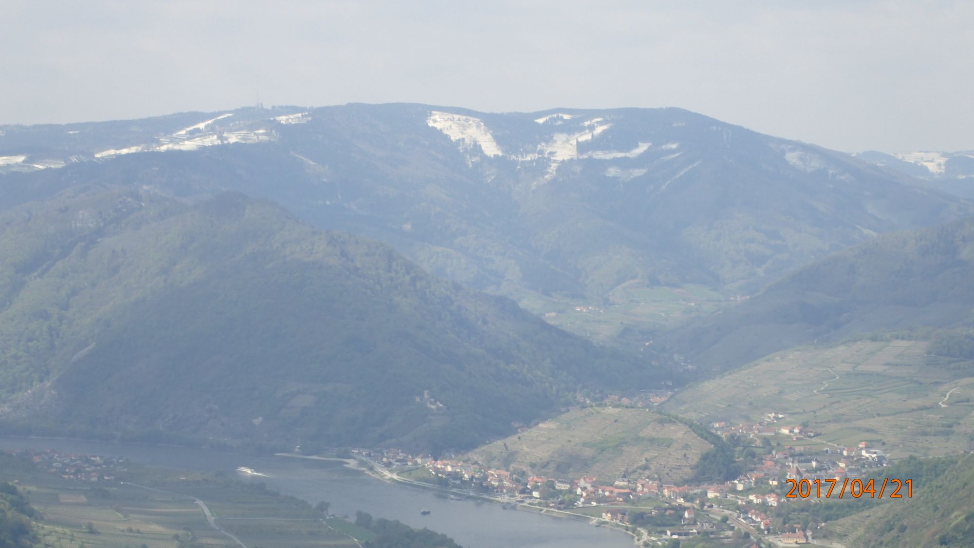
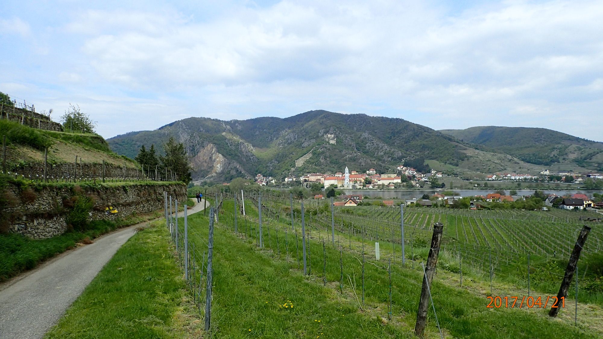
Wachauer Frühjahrswanderung: von Rossatz auf dem Seekopf und zurück
- Difficulty
-
easy
- Rating
-
- Starting point
-
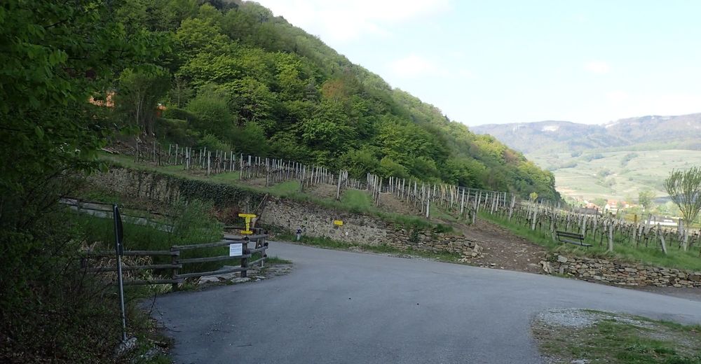
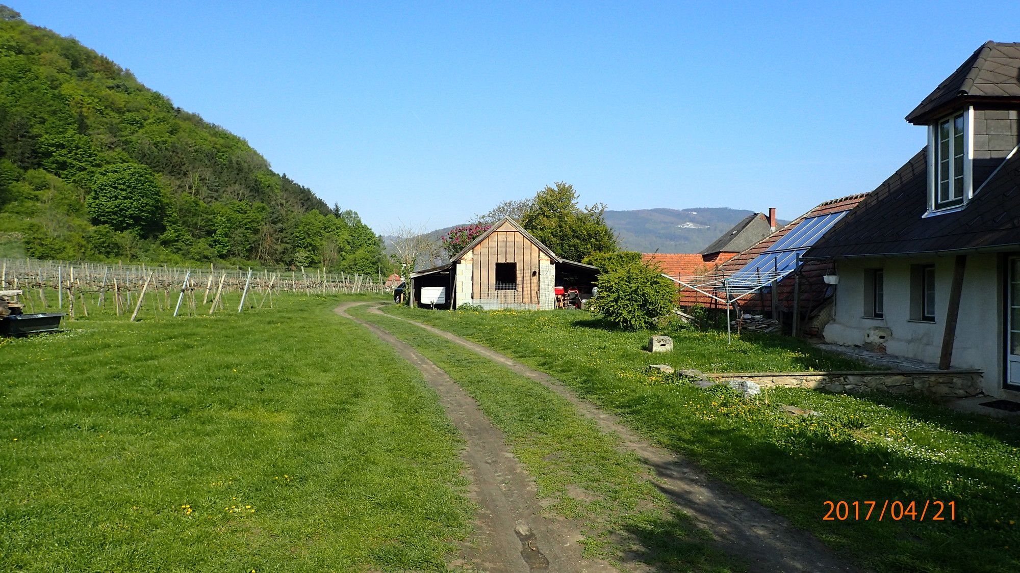
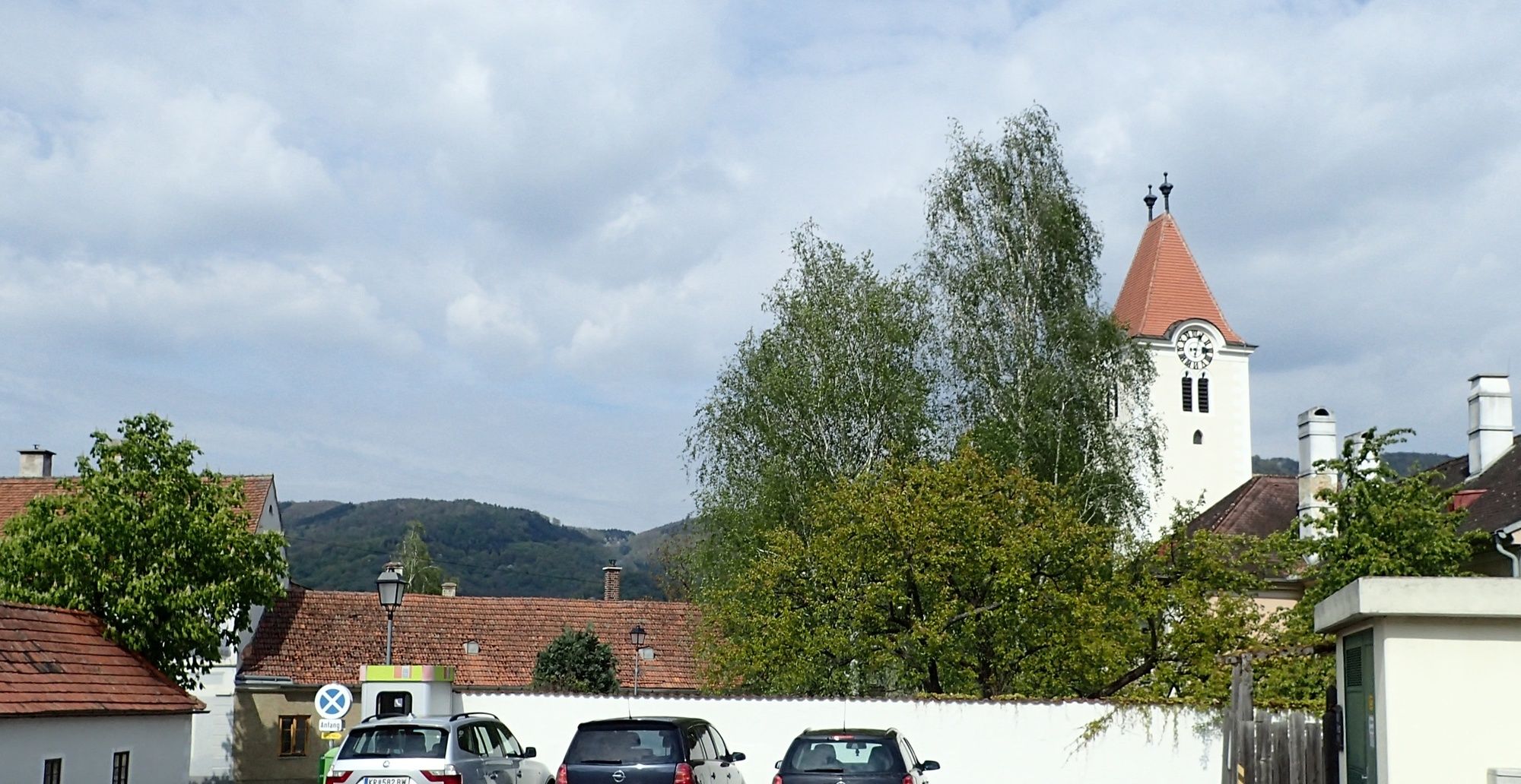
Parkplatz Rossatz
- Route
-
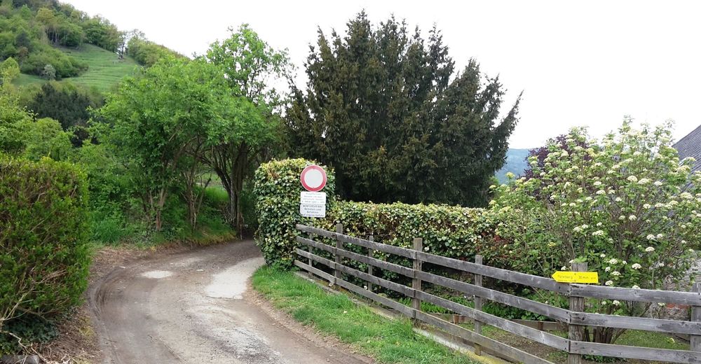
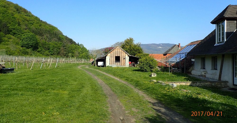
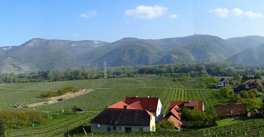
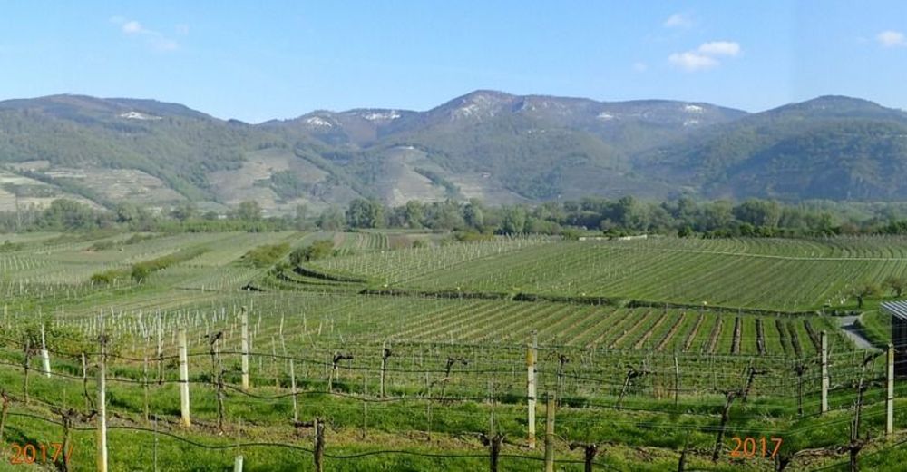
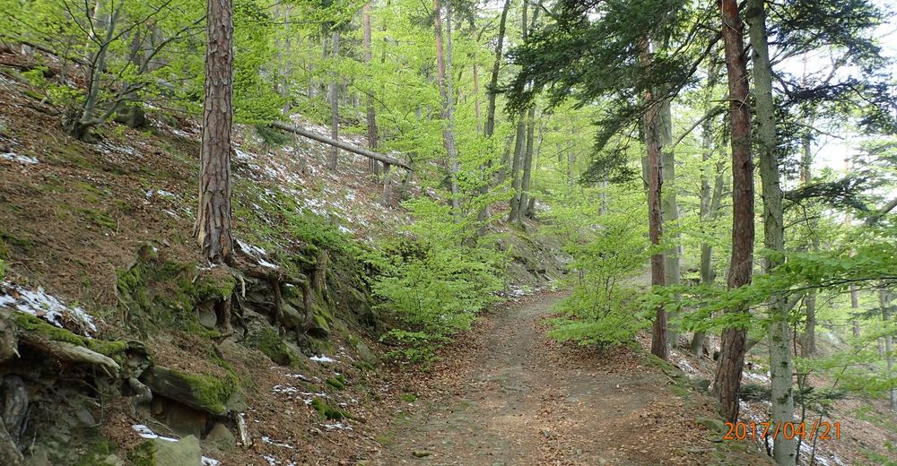
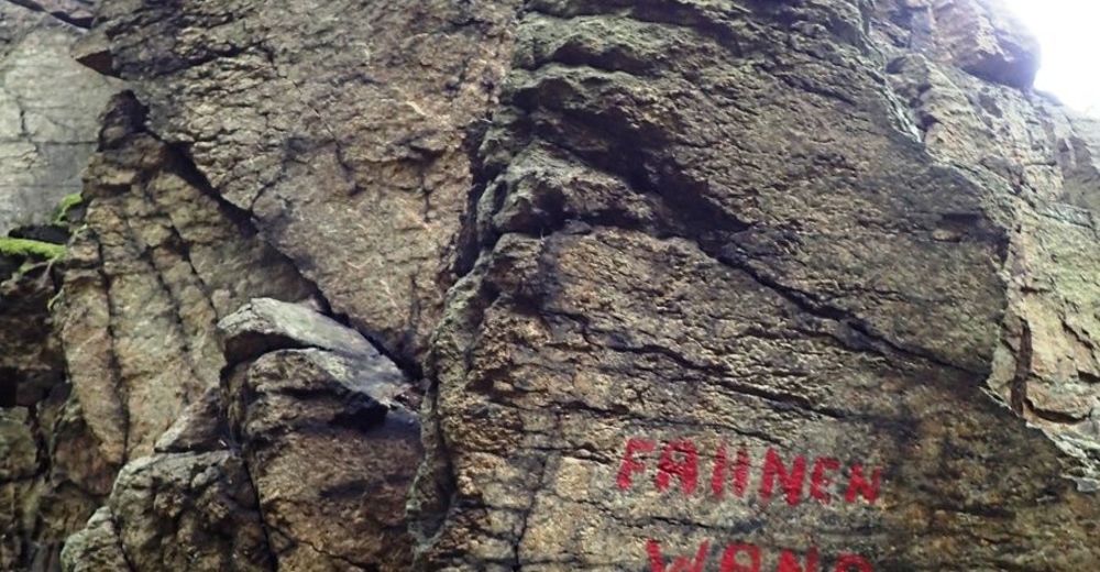
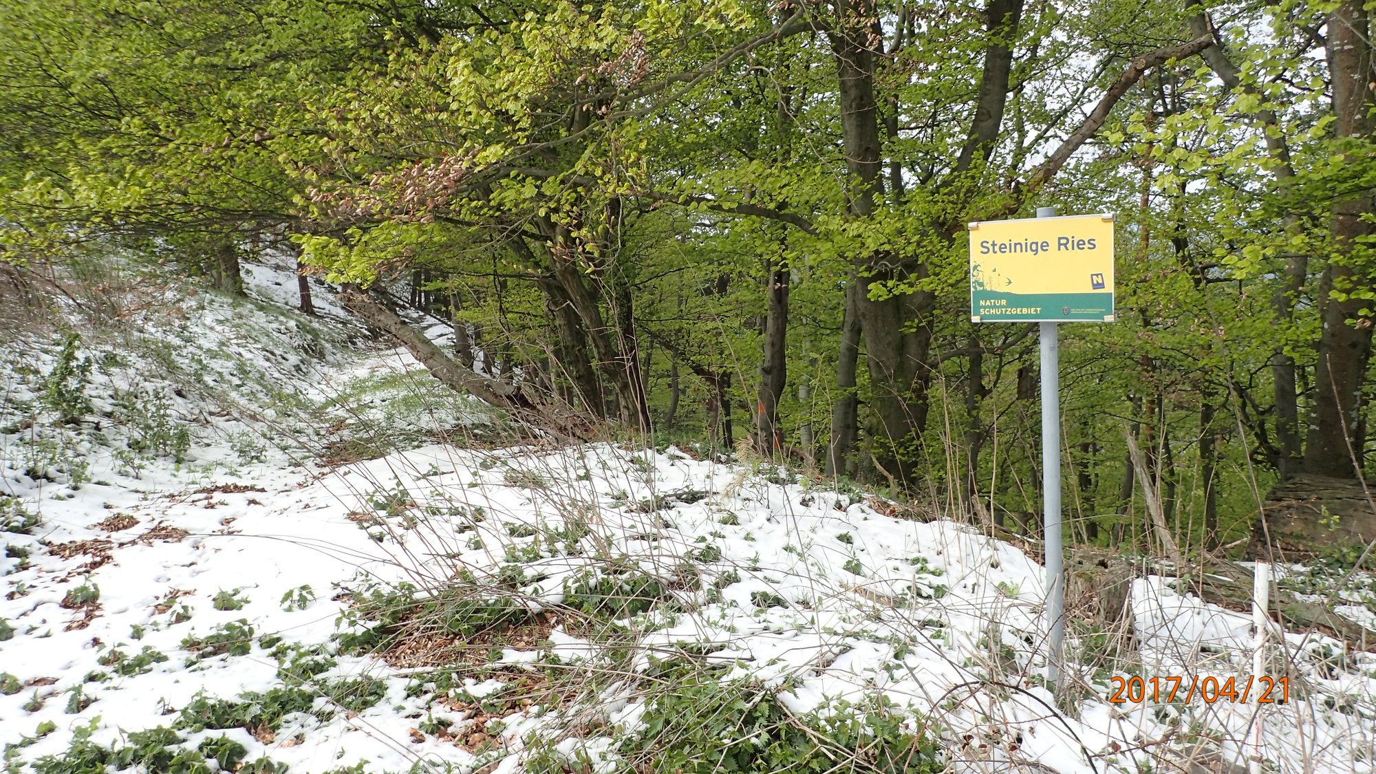
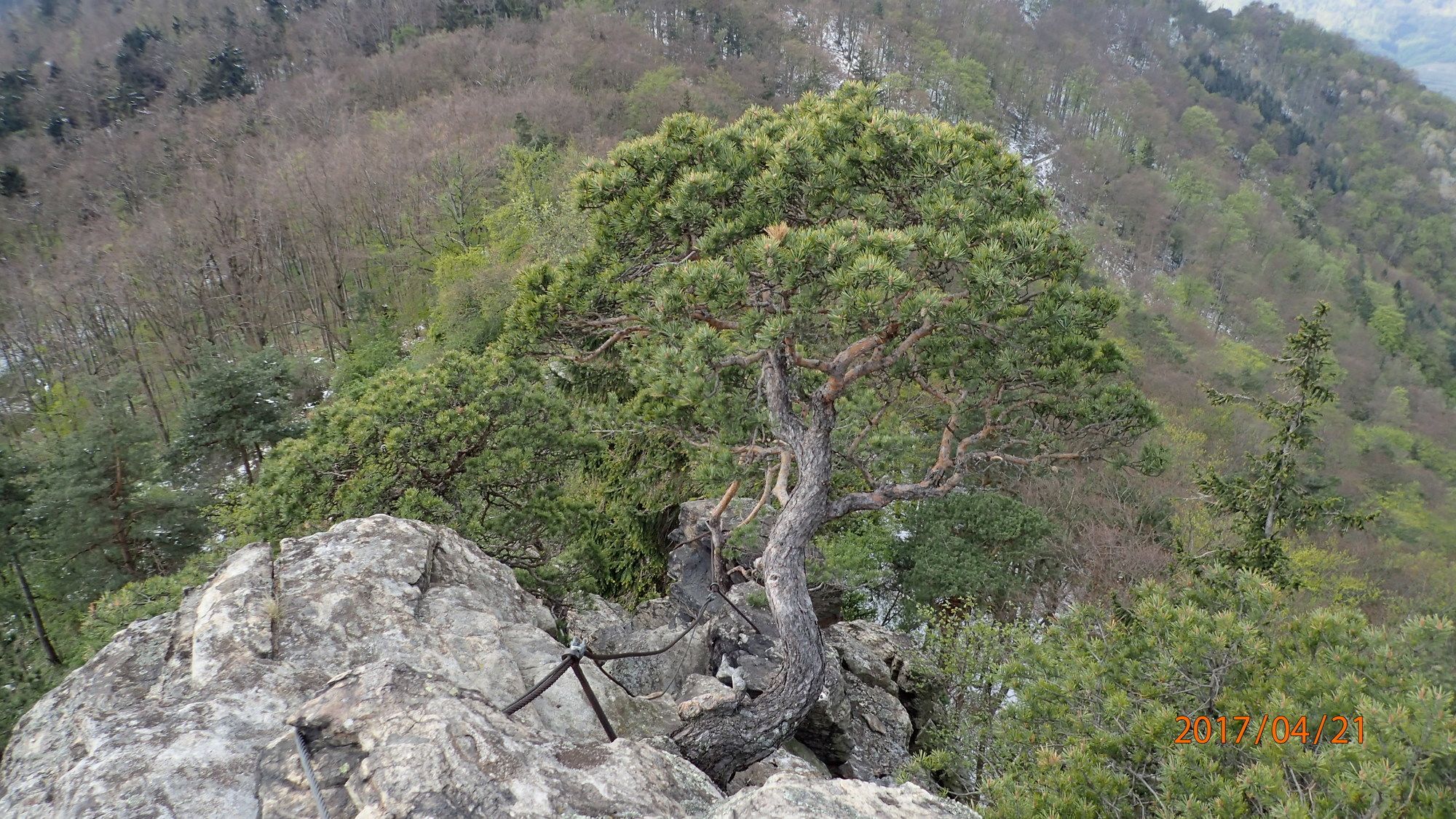
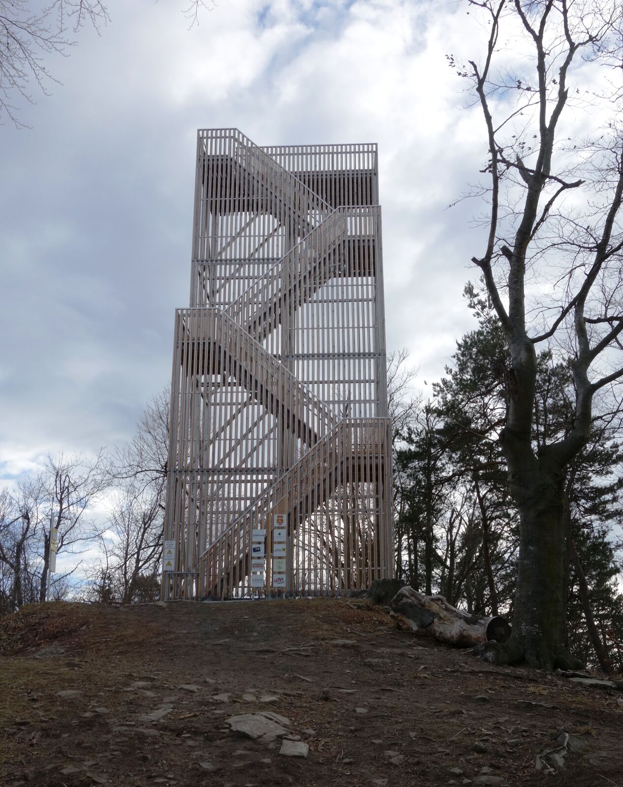
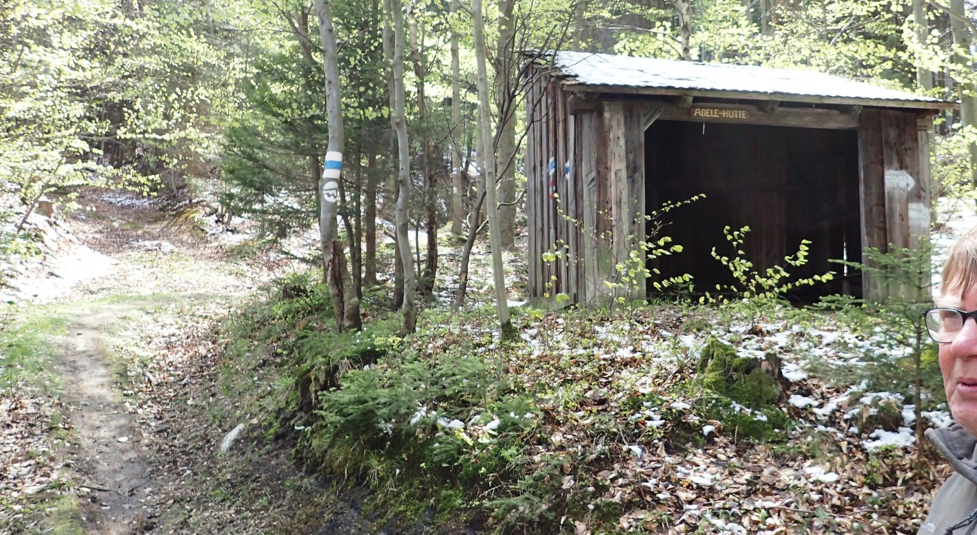
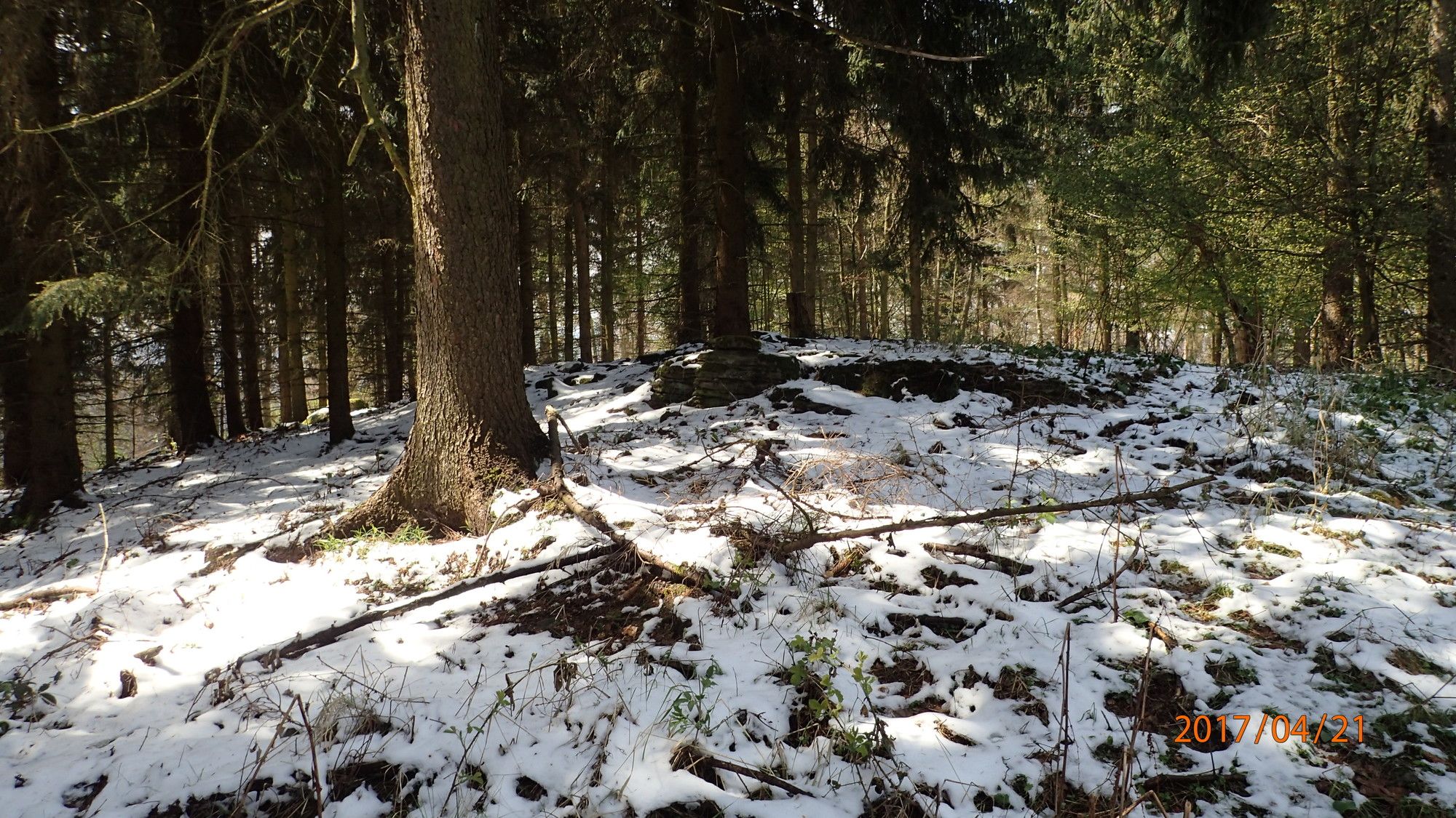
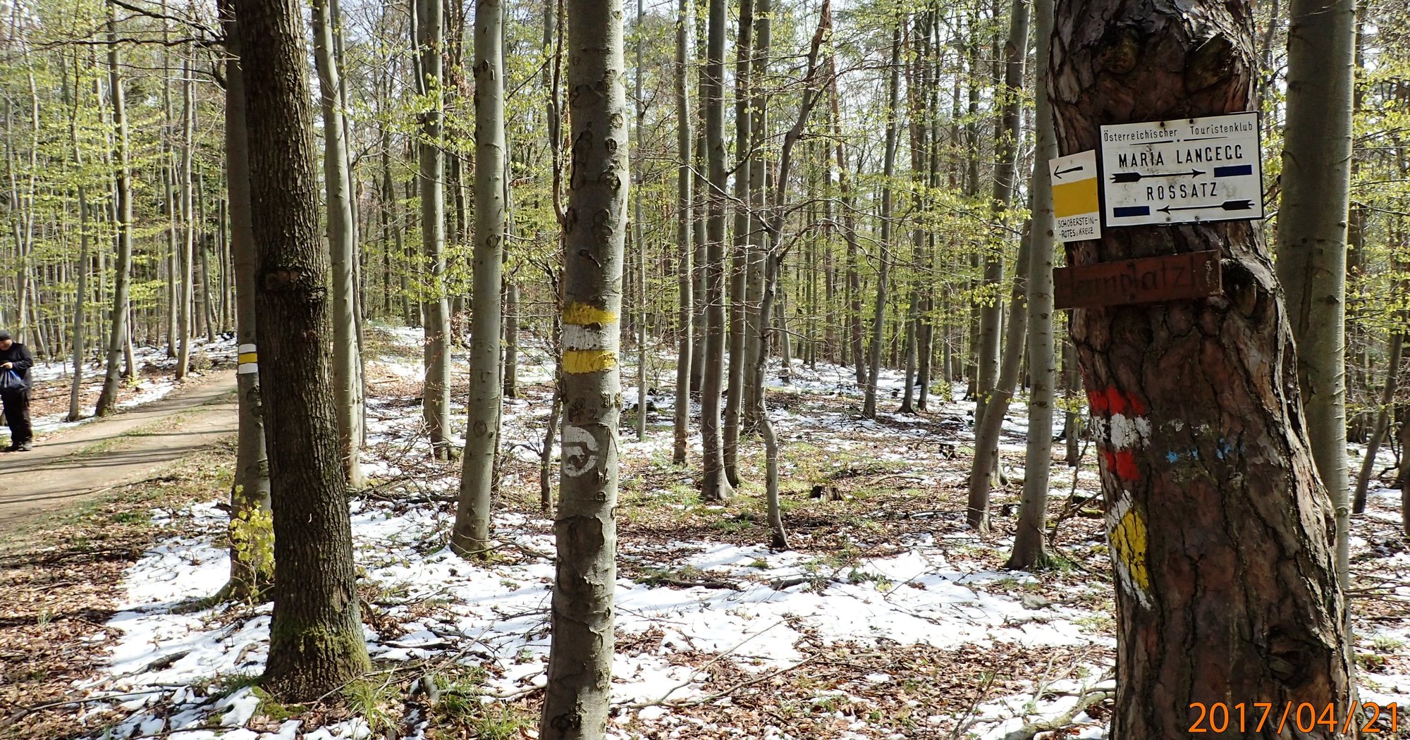
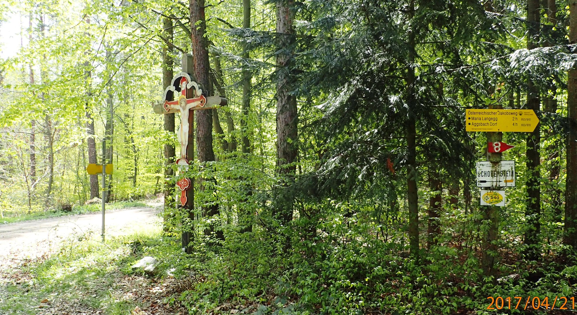
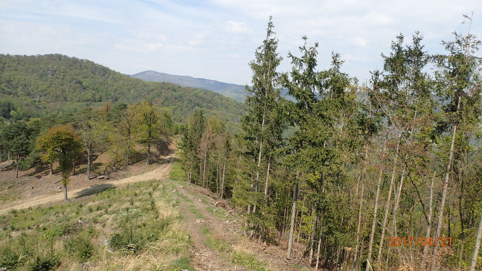
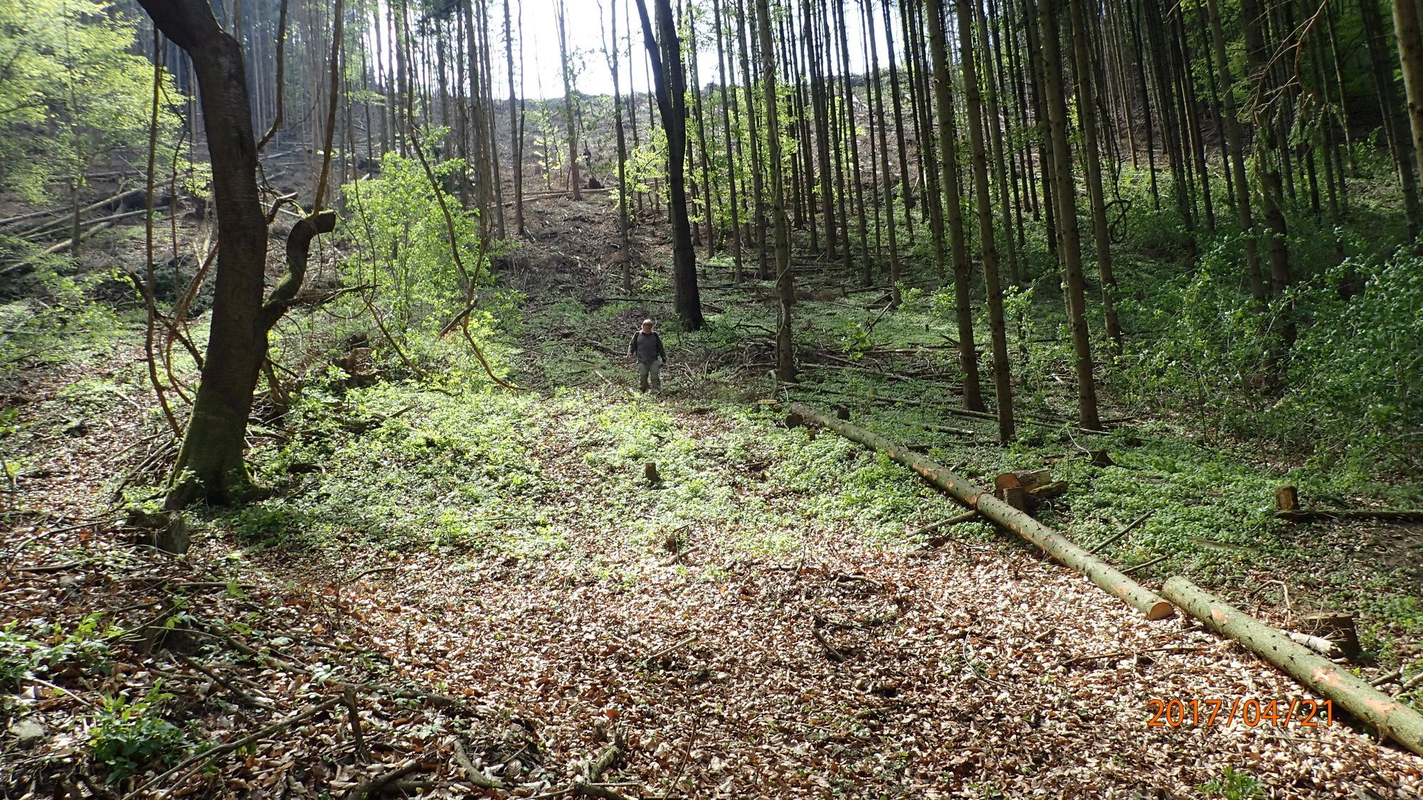
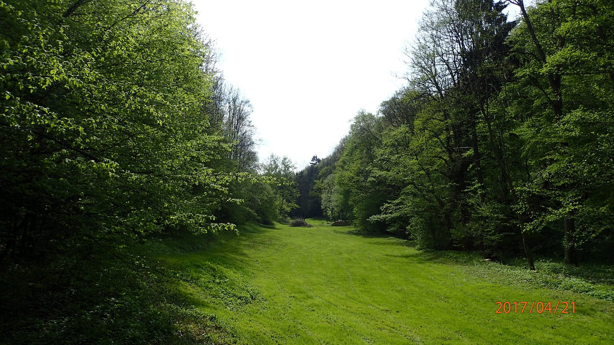
Rossatz0.1 kmFriedhofskapelle0.1 kmFahnenwand3.4 kmHirschwand (625 m)6.3 kmSeekopfwarte7.1 kmSeekopf (671 m)7.1 kmHerrnplatzl8.7 kmSchoberstein (618 m)10.1 kmRossatz14.9 km
- Best season
-
JanFebMarAprMayJunJulAugSepOctNovDec
- Highest point
- Seekopf (671 m)
- Endpoint
-
Hirschwand, Seekopfwarte, Rosatzbach, Parkplatz Rossatz
- Rest/Retreat
-
Gastronomie und Heurige in Rossatz
- Ticket material
-
bergfex, amap, kompass, opentopomap


- Source
- Erich Helferstorfer
GPS Downloads


Trail conditions
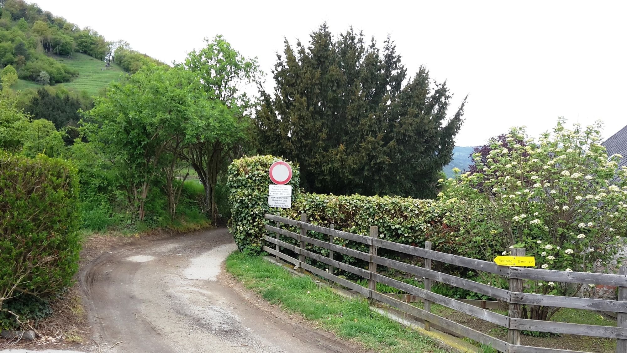
Asphalt
(5%)
Gravel
(35%)
Meadow
(35%)
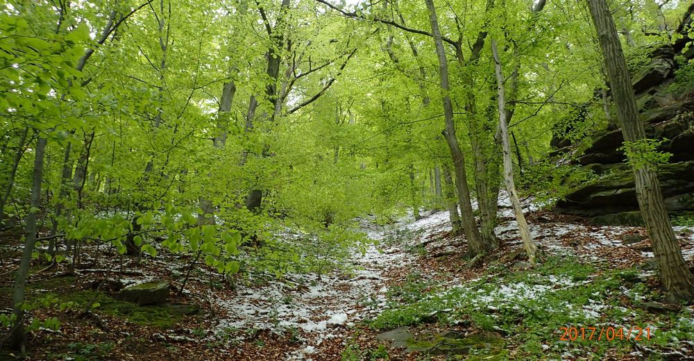
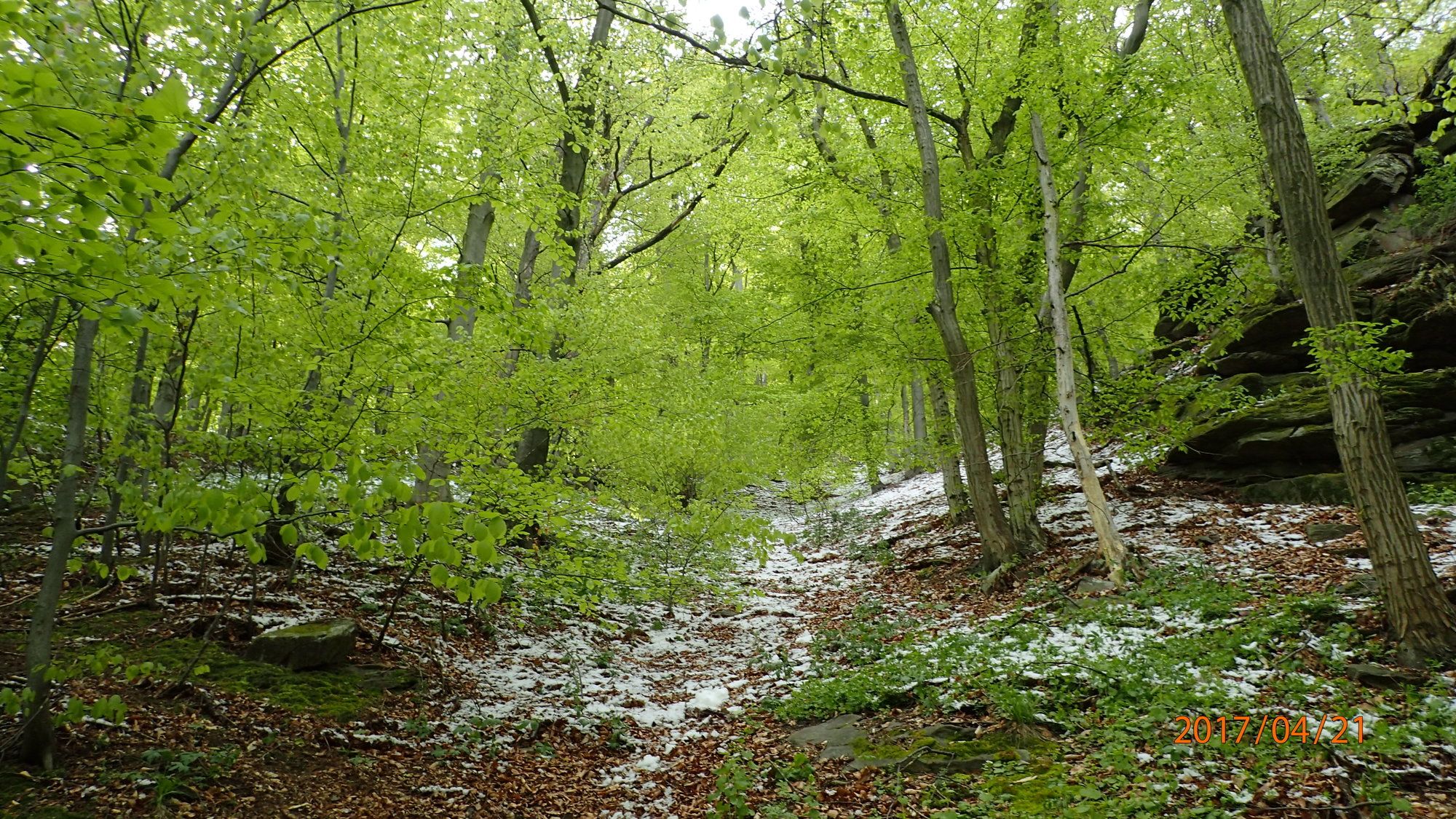
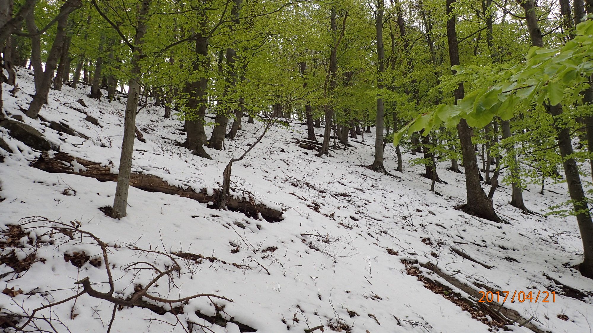
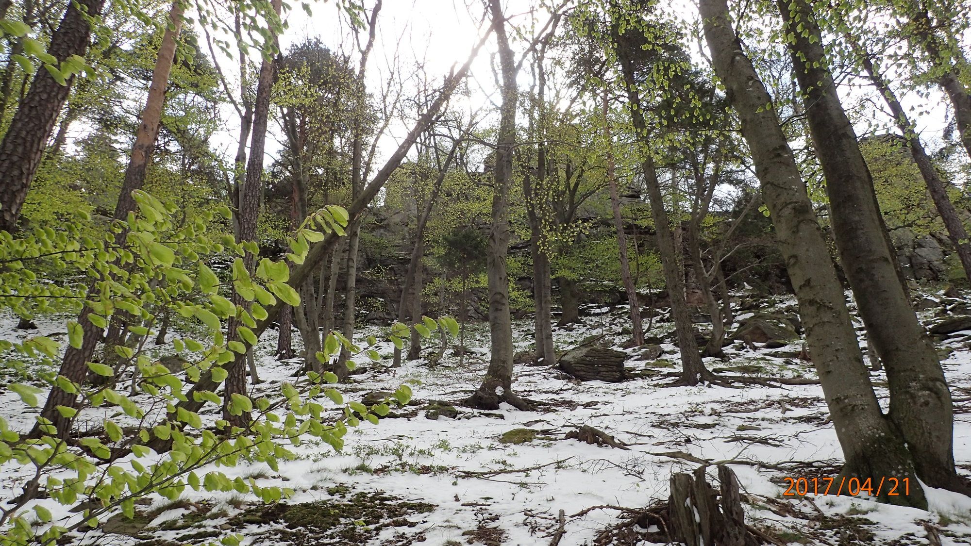
Forest
(50%)
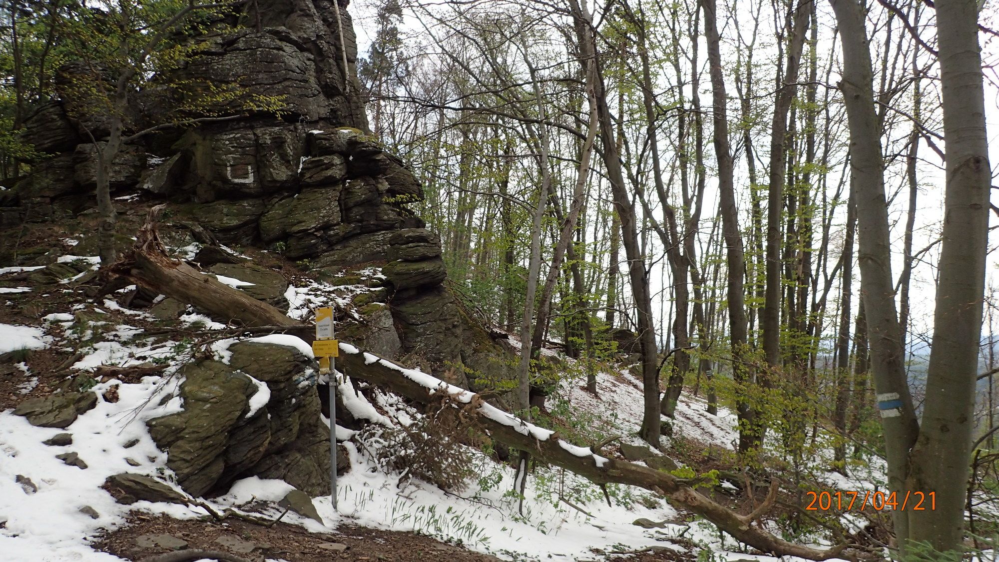
Rock
(1%)
Exposed
Other tours in the regions
-
Donau Niederösterreich
2288
-
Dunkelsteinerwald
1373
-
Rossatz-Arnsdorf
714


