Tour data
15.38km
462
- 1,195m
1,070hm
1,070hm
04:19h
- Brief description
-
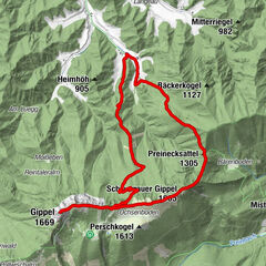
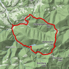
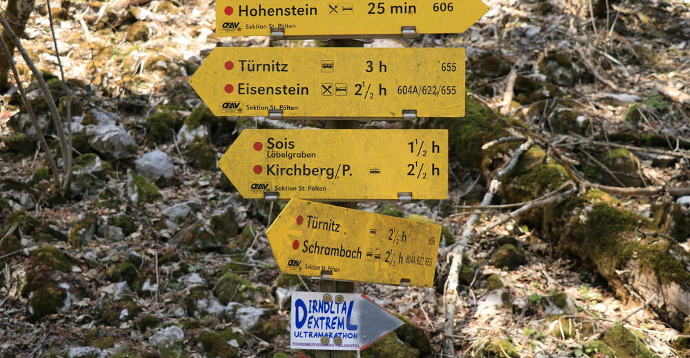
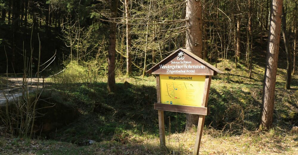
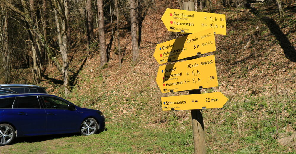
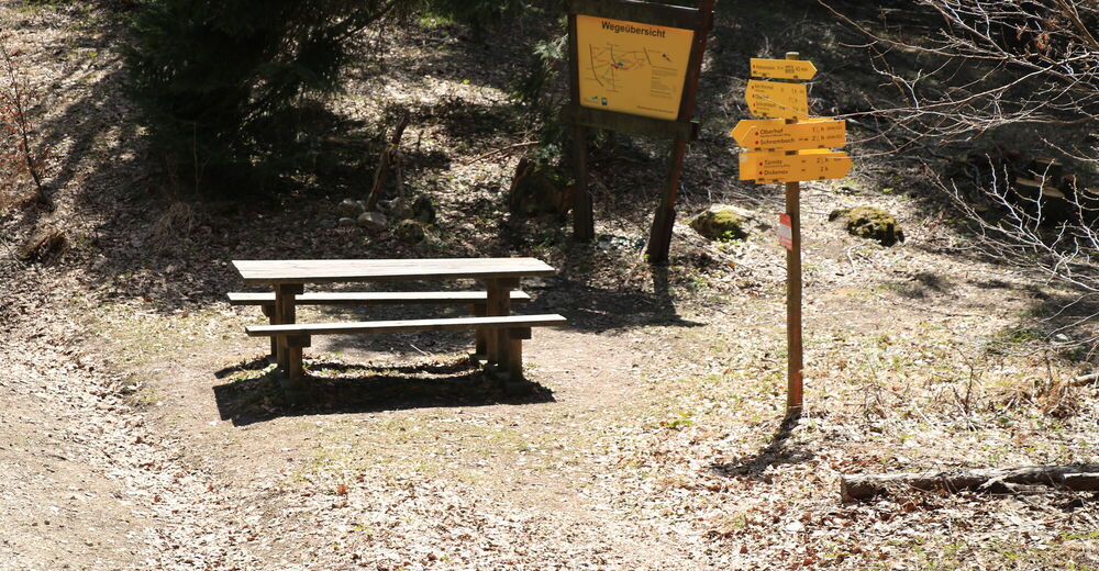
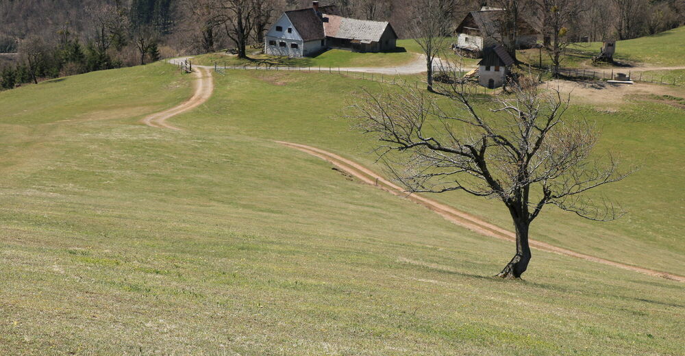
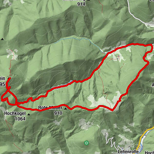
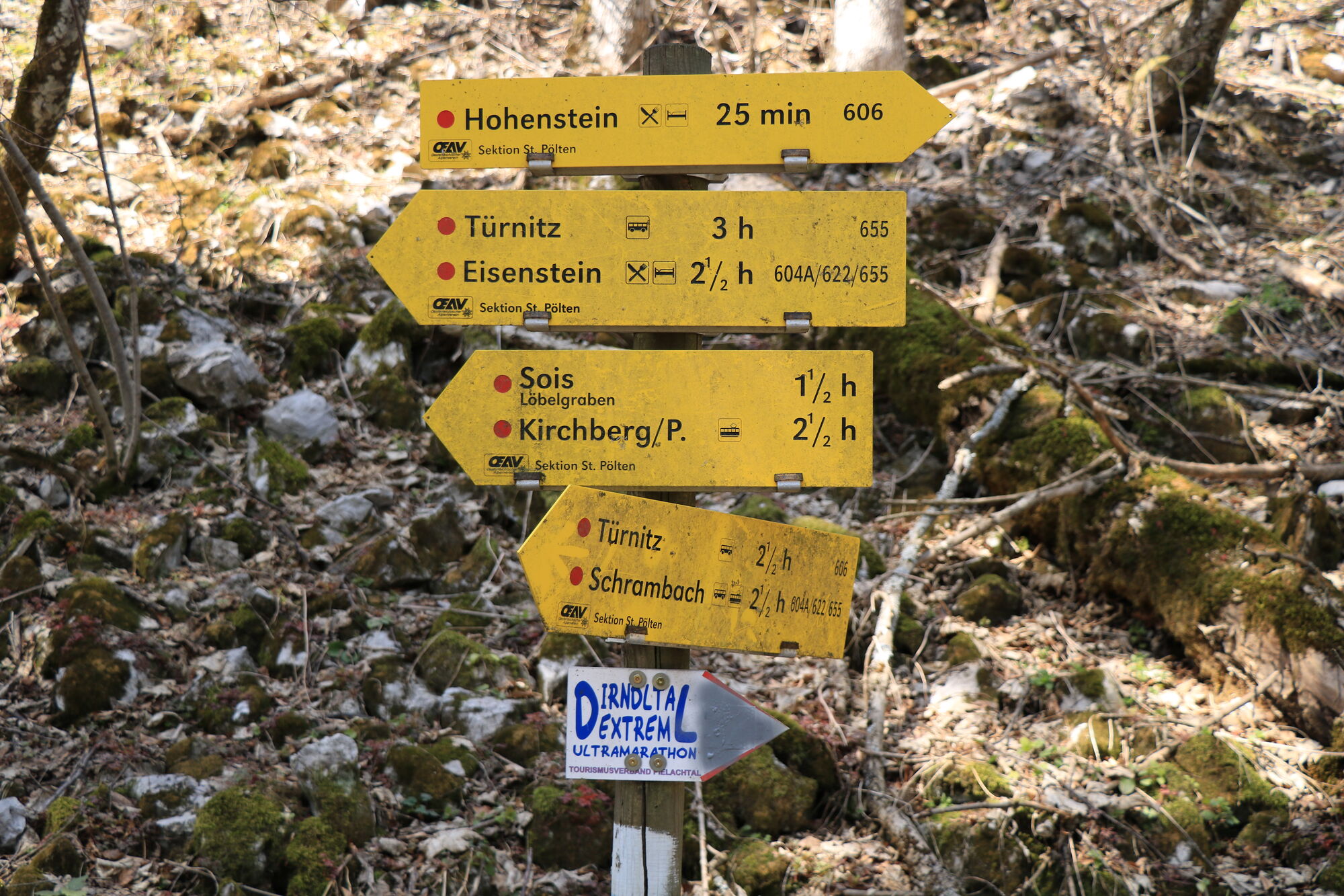
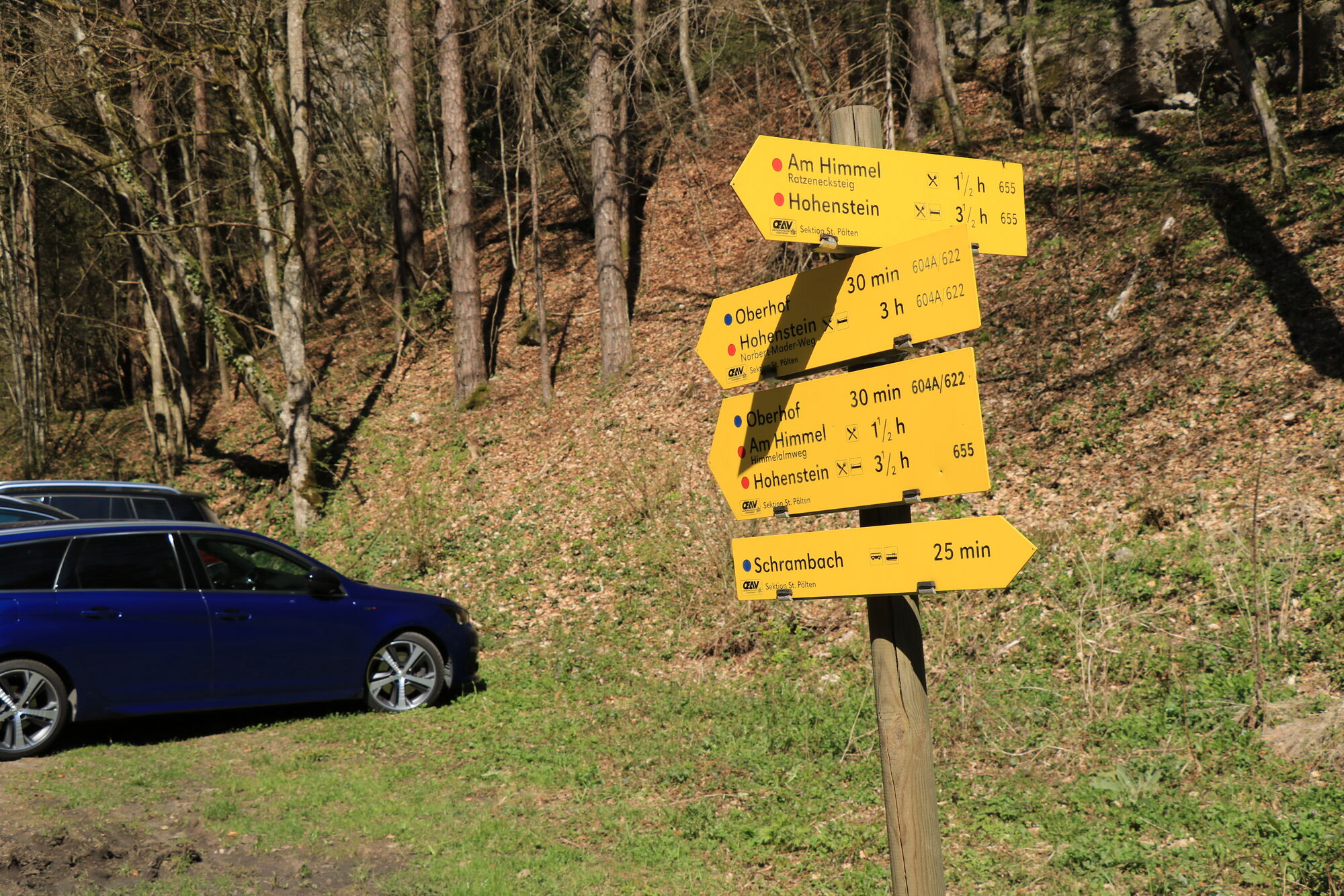
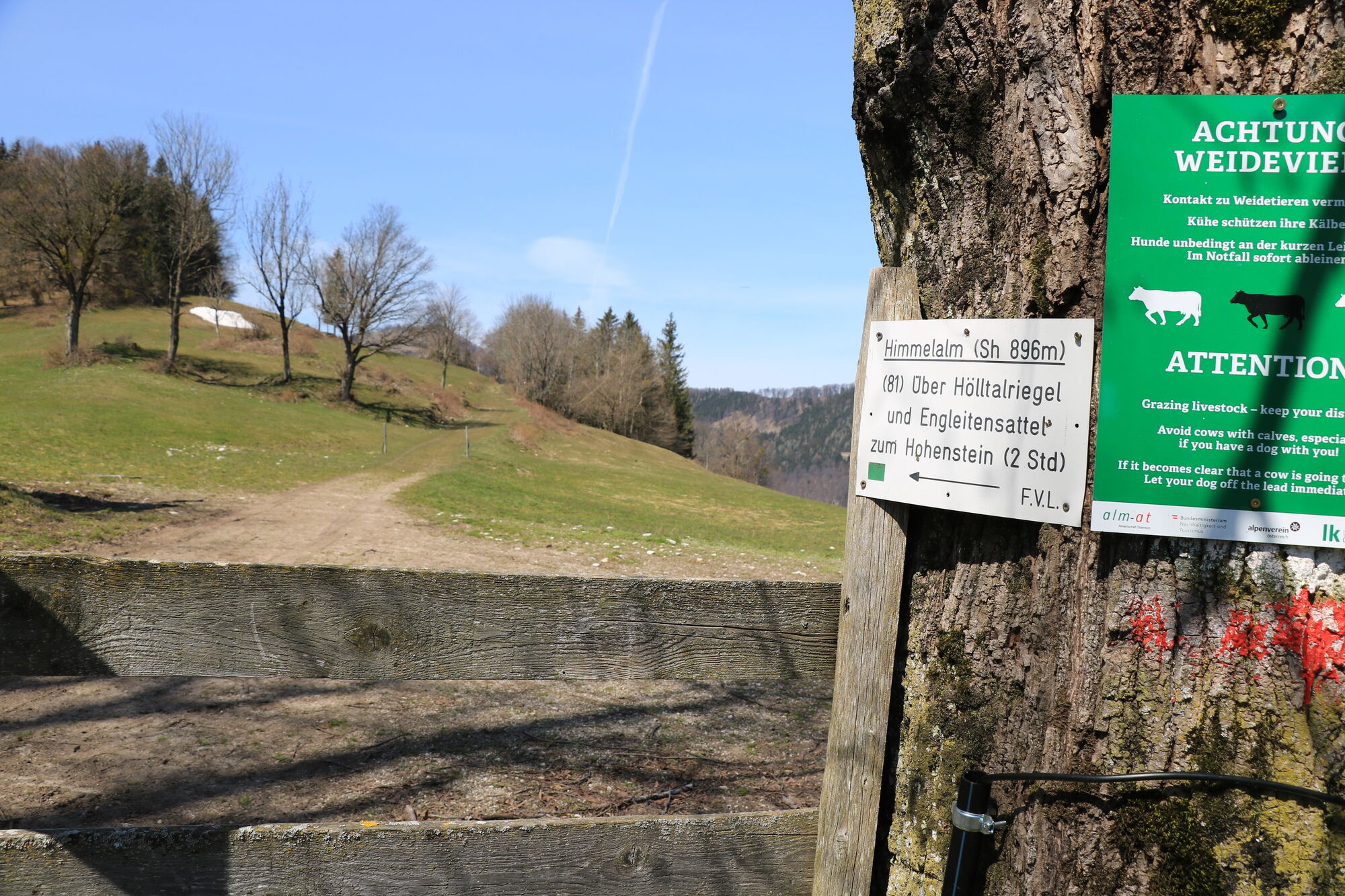
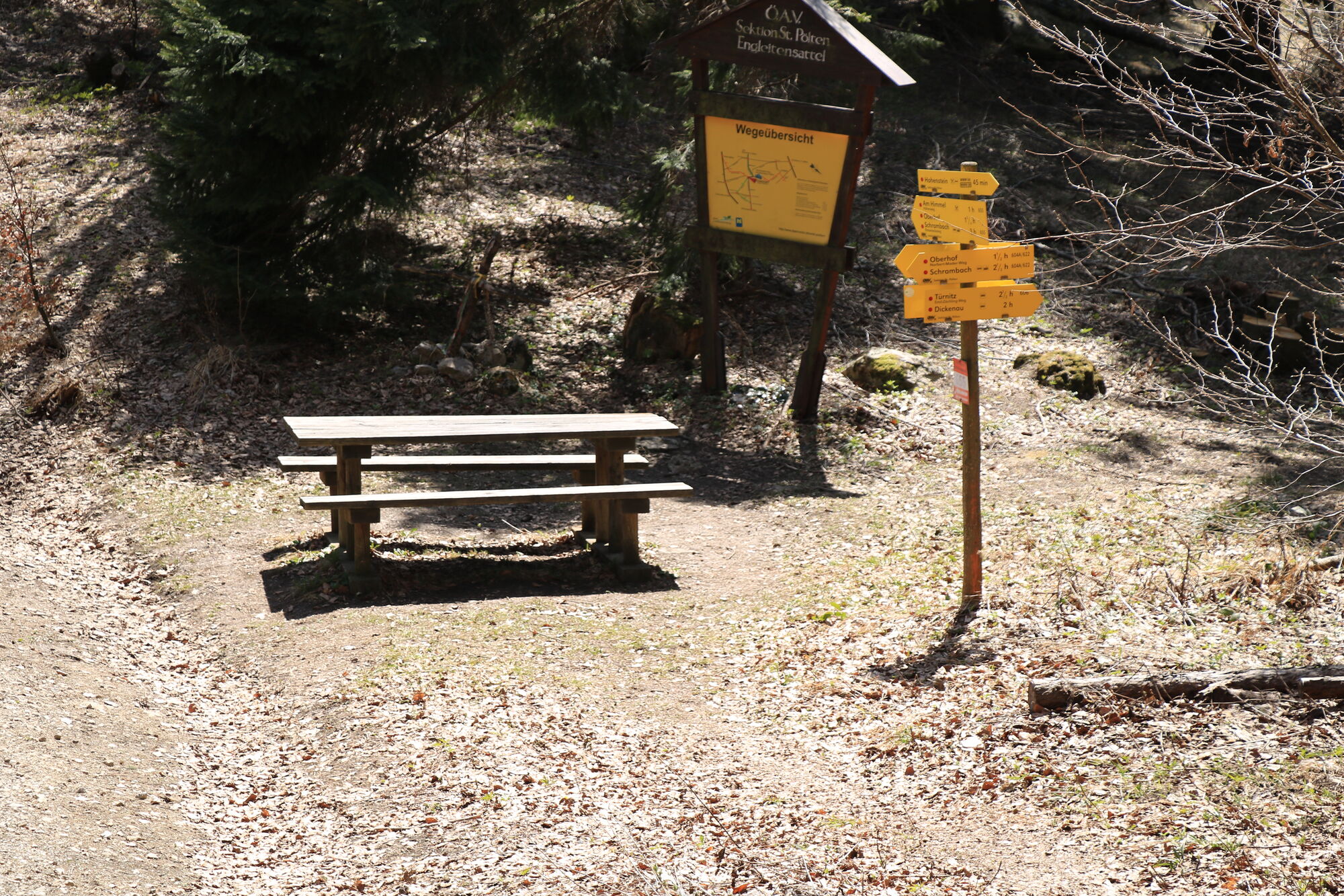
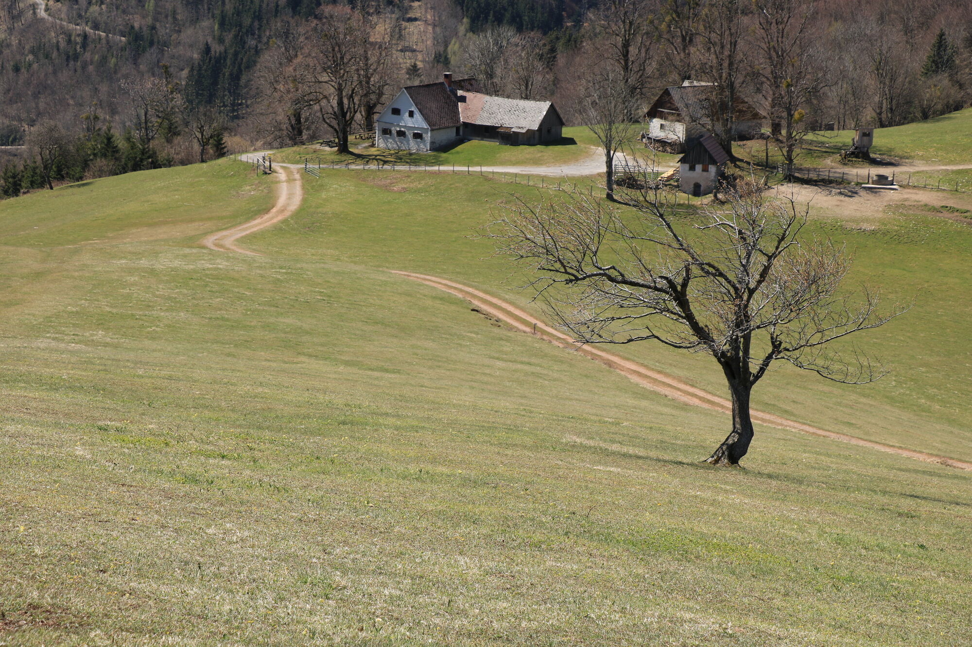
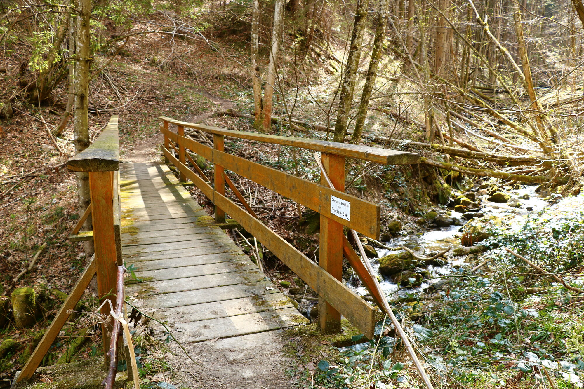
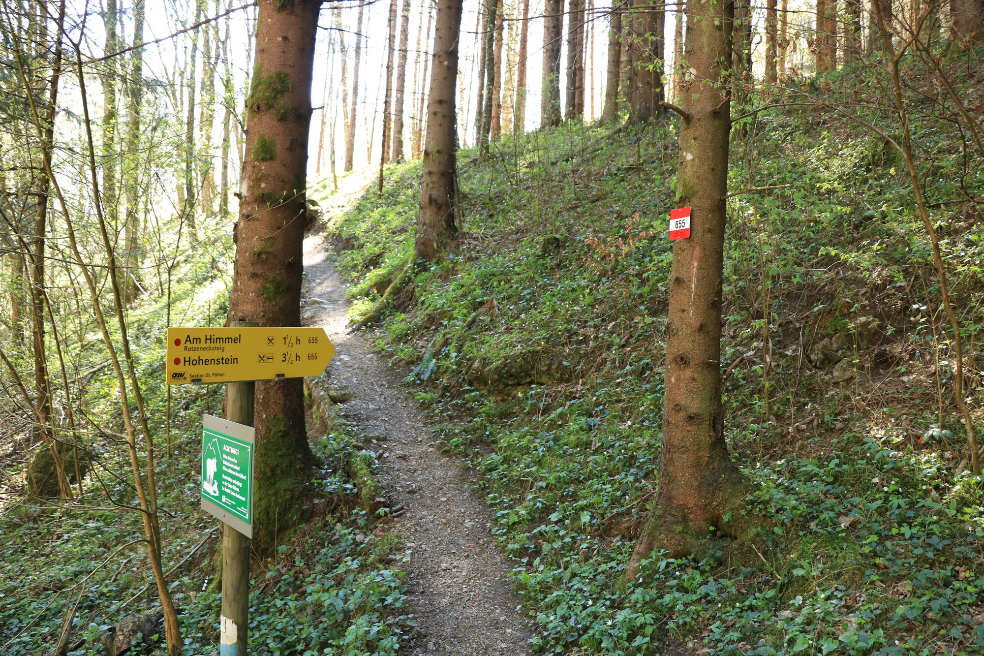
Schrambach - Am Himmel - Rote Mauer - Engleitensattel - Hohenstein - Oberhof - Schrambach
- Difficulty
-
medium
- Rating
-
- Starting point
-
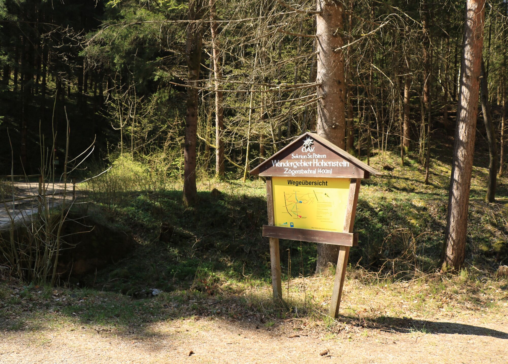
Kleiner Parkplatz neben der Straße. Von dort geht es direkt weg.
- Route
-
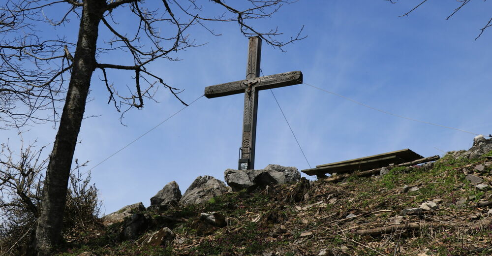
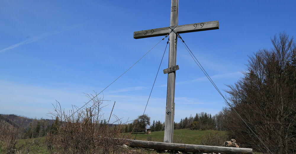
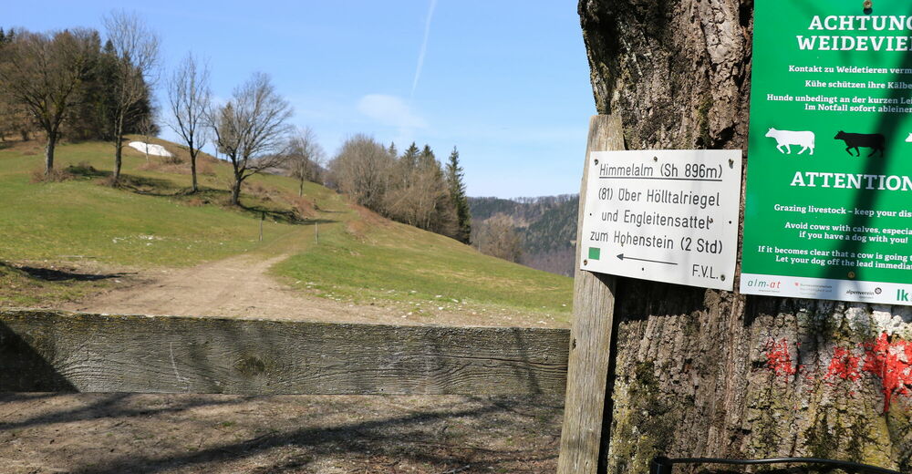
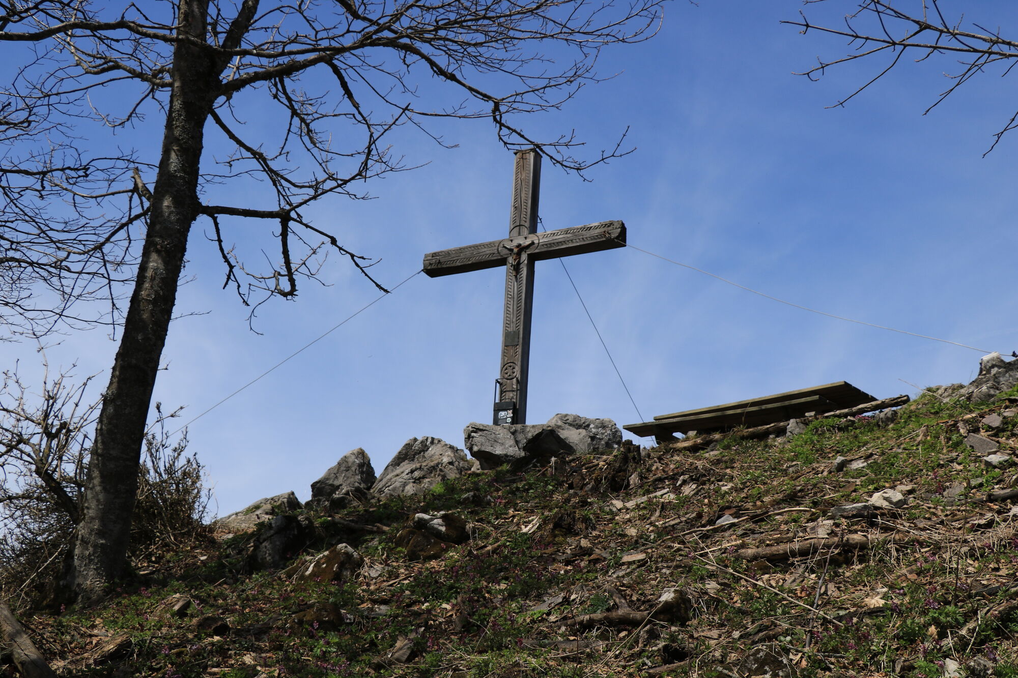
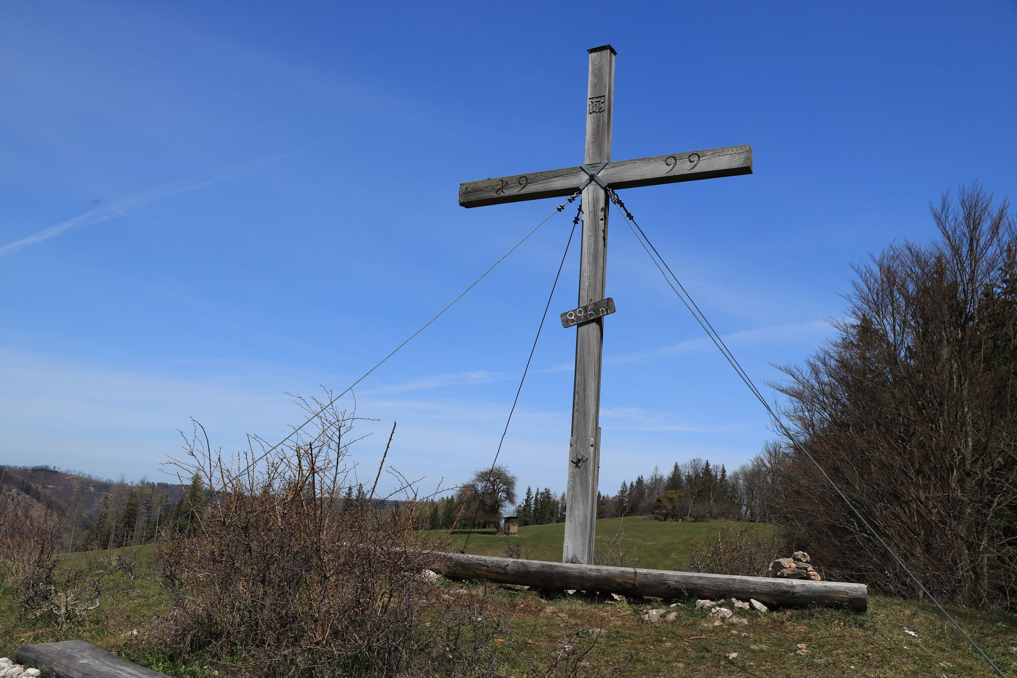
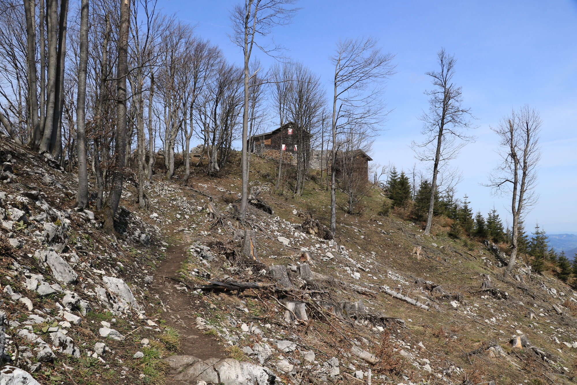
Rote Mauer (910 m)4.6 kmOtto-Kandler-Haus7.7 kmHohenstein (1,195 m)7.7 kmEngleitensattel (966 m)9.5 kmEngleiten-Doppelhöhle10.8 kmEngleitenhöhle10.9 kmOberhof (450 m)13.7 kmZögersbach14.0 kmNiederhof Kirche14.3 kmZögersbachlucke14.7 km
- Best season
-
JanFebMarAprMayJunJulAugSepOctNovDec
- Highest point
- 1,195 m
- Rest/Retreat
-
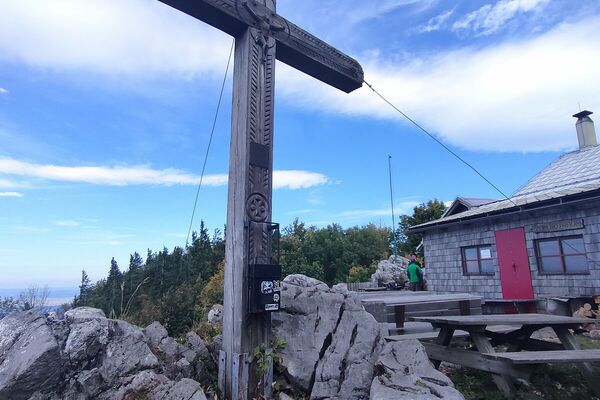
Otto Kandler Haus

- Link
- oberegger@kabsi.at
- Source
- Franz Oberegger / Melk
GPS Downloads


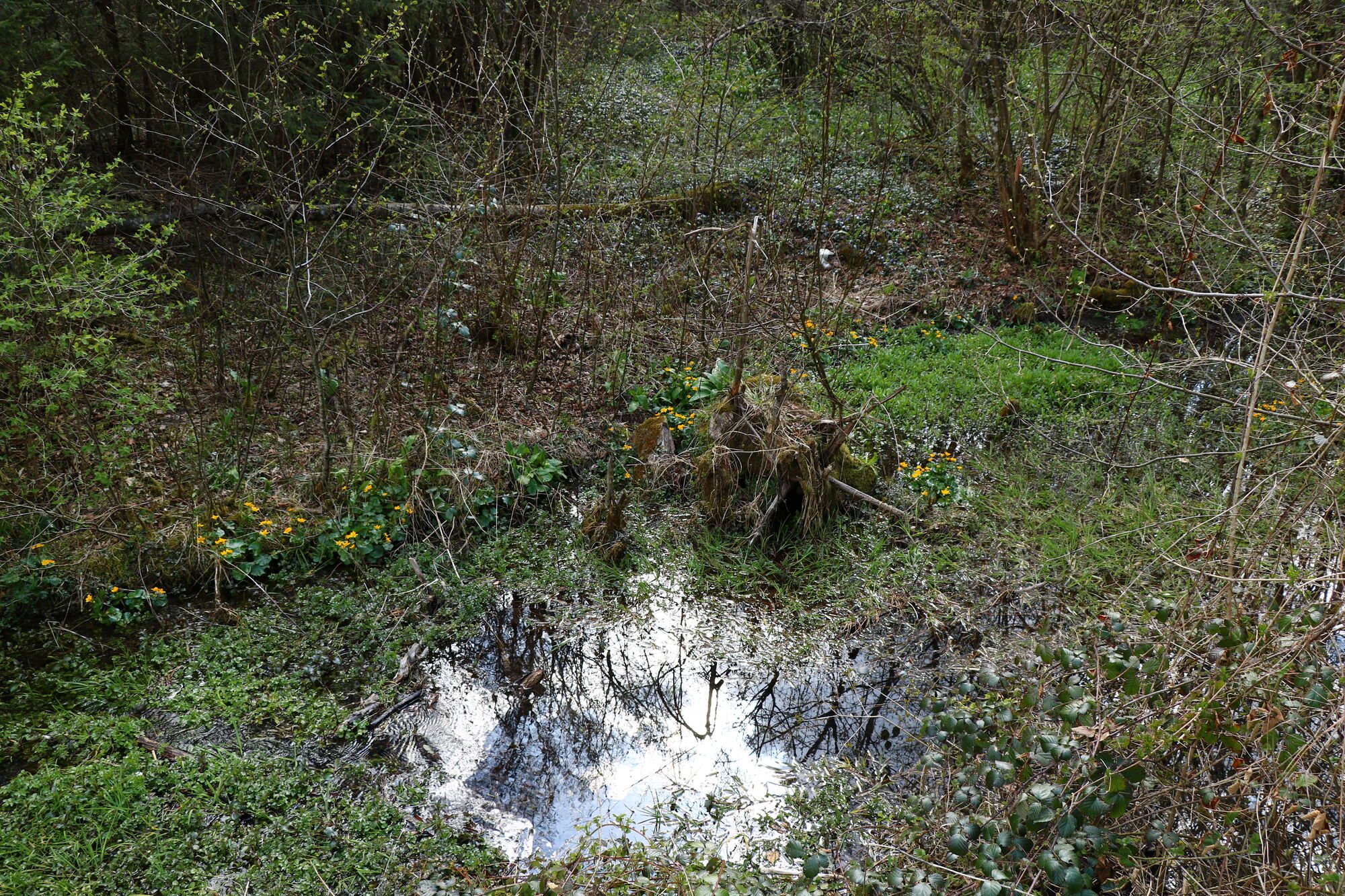
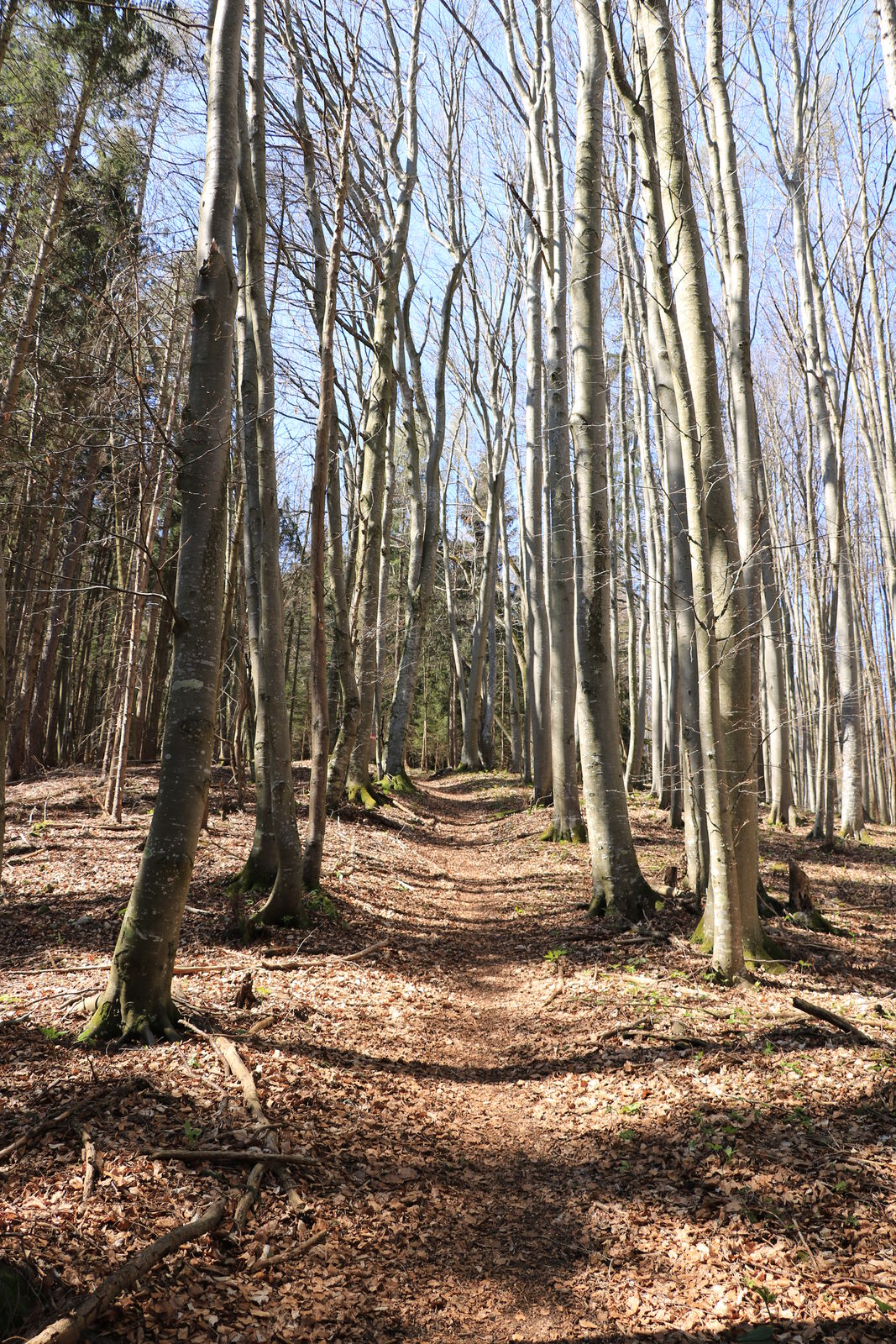
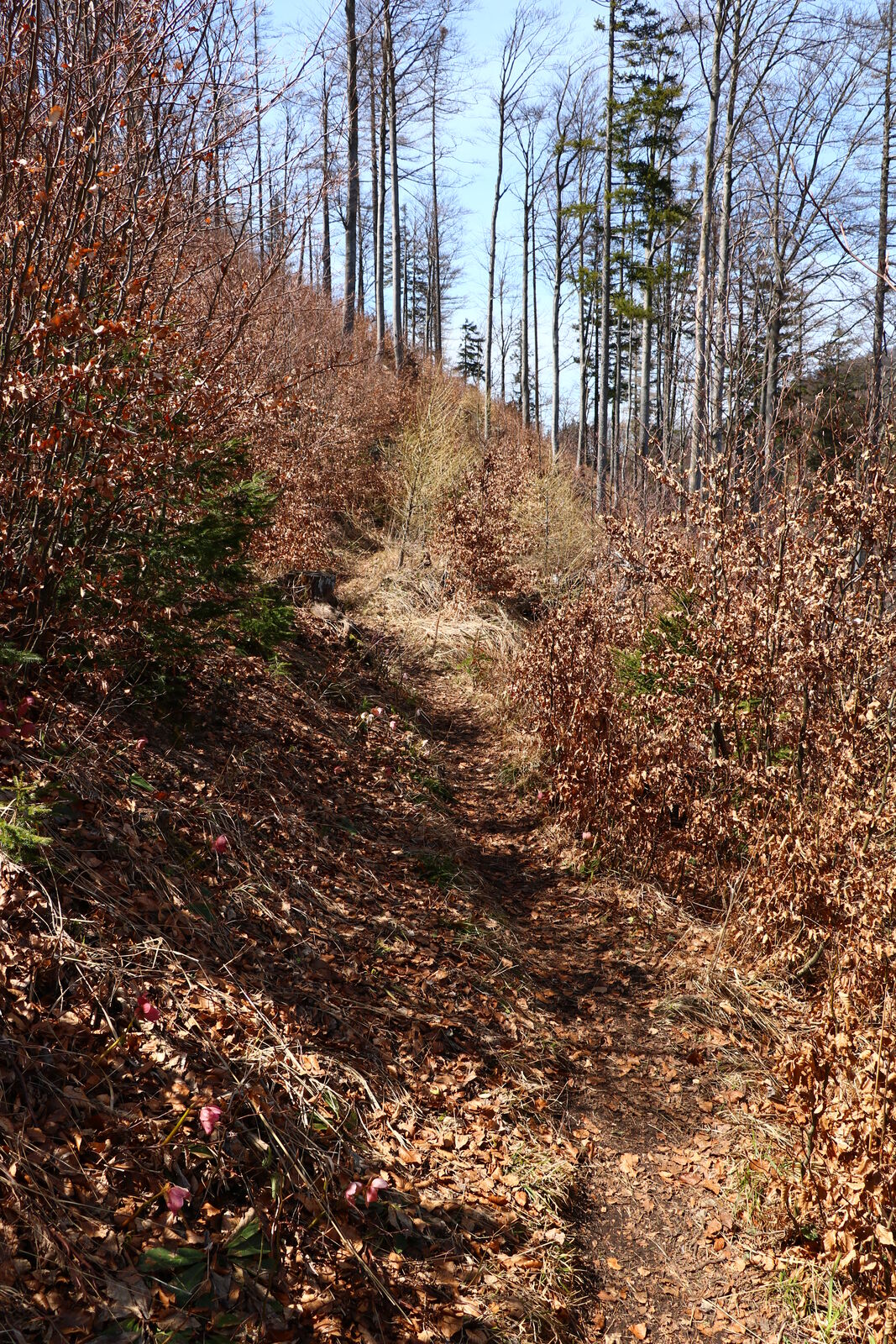
Trail conditions
Asphalt
Gravel
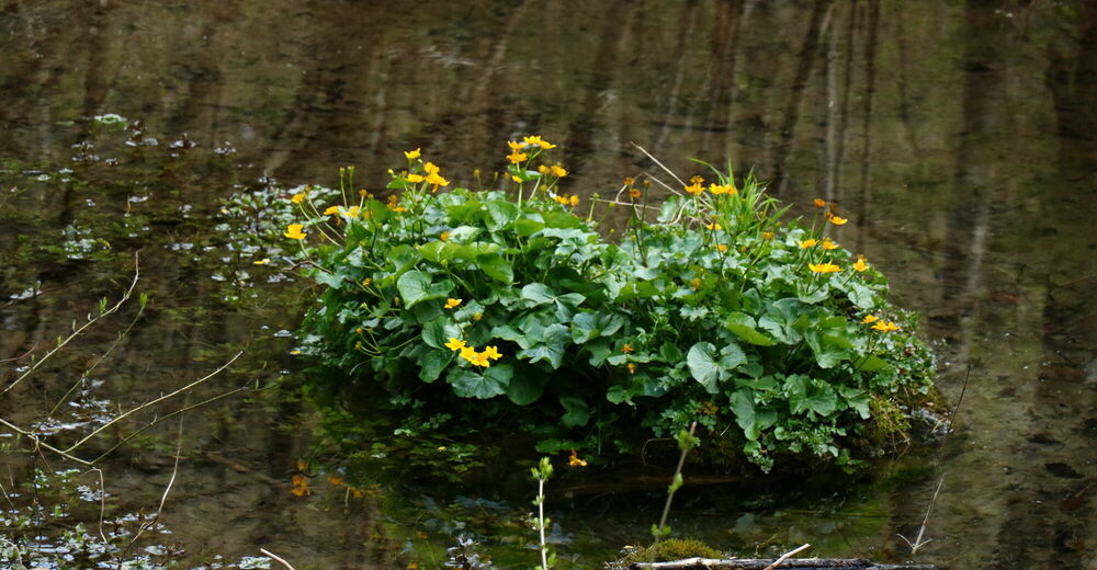
Meadow
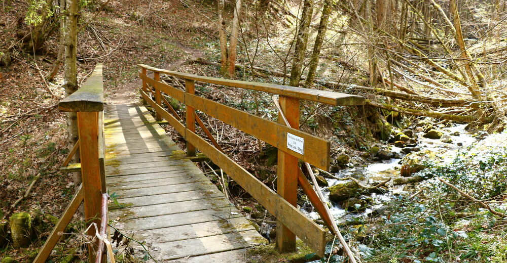
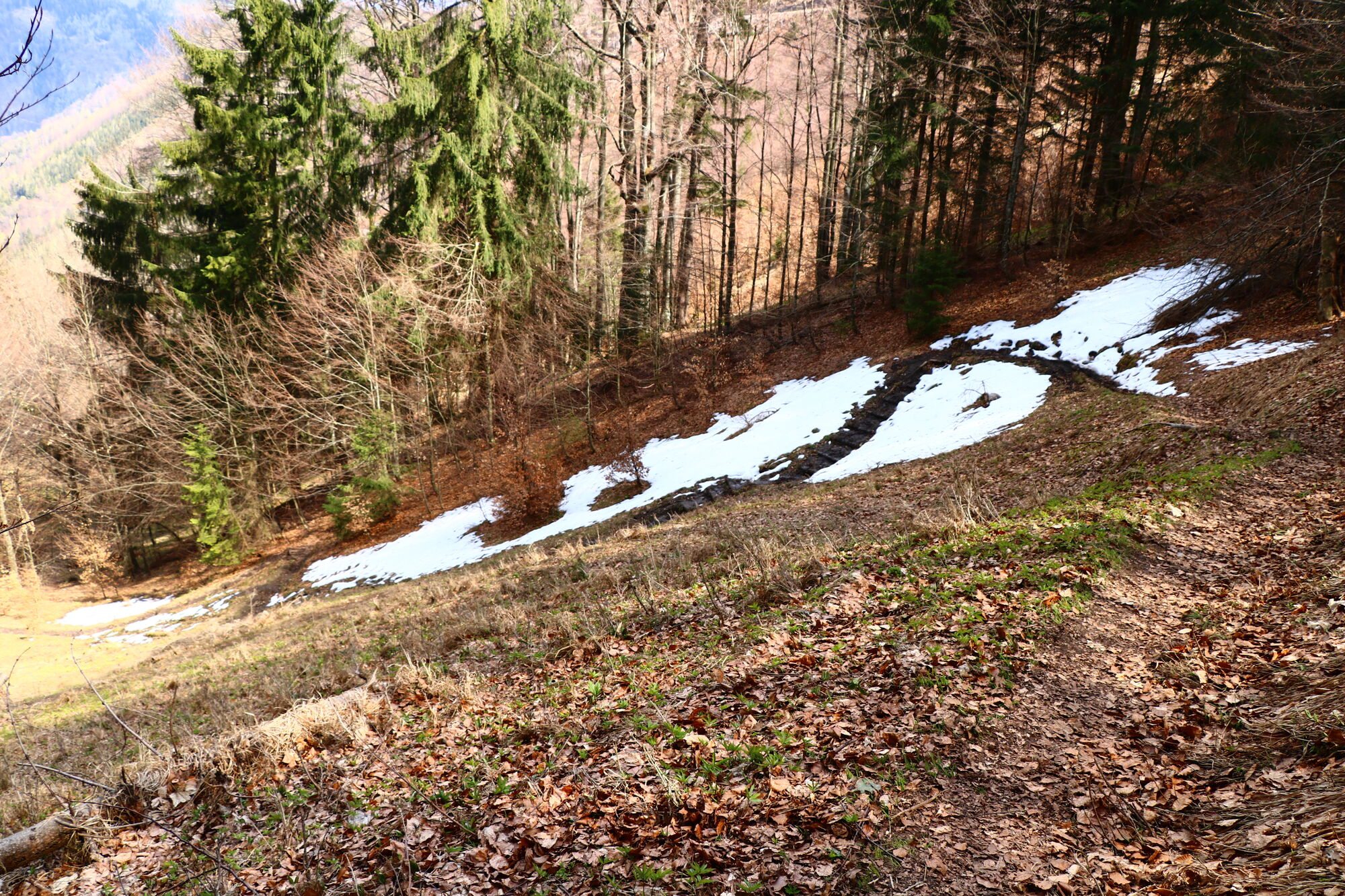
Forest
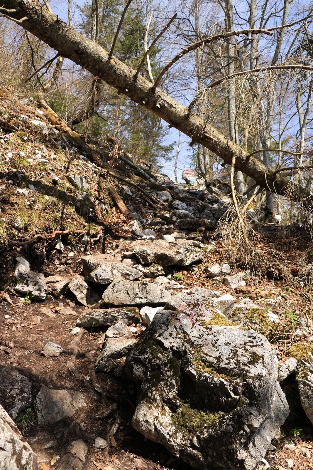
Rock
Exposed
Other tours in the regions
-
Mostviertel
2453
-
Traisen-Gölsental
1339
-
Türnitz
370