
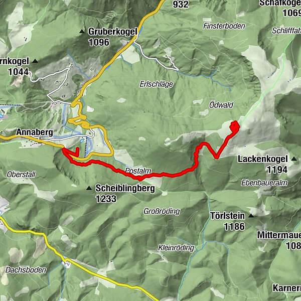
Tour data
5.65km
932
- 1,365m
446hm
446hm
02:40h
- Brief description
-
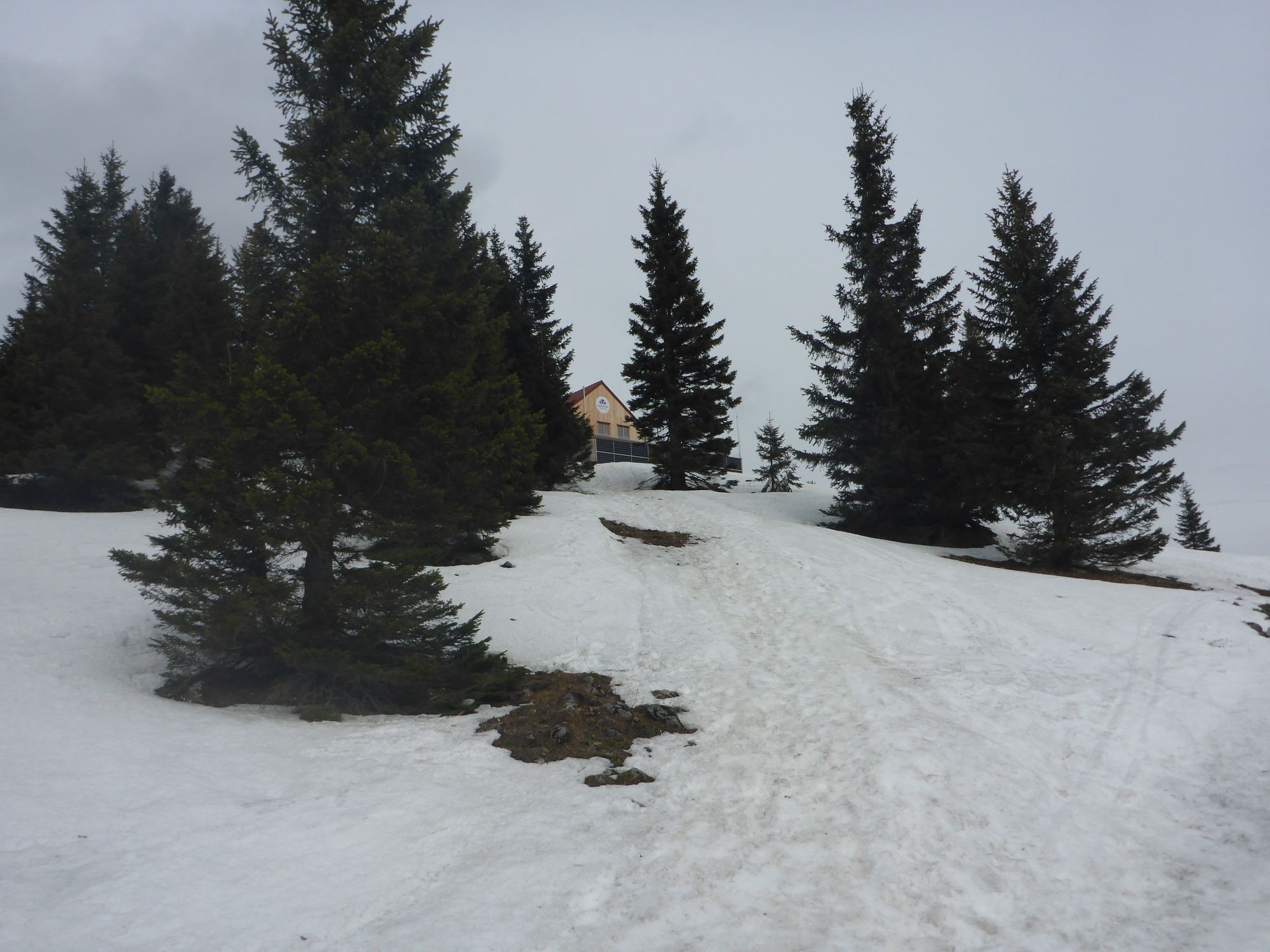
Leichte Bergwanderung fürs ganze Jahr, es ist nicht zu steil mit einem Forstweg bis zum Gipfel.
- Difficulty
-
medium
- Rating
-
- Route
-
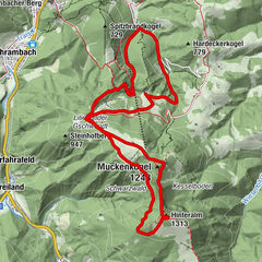
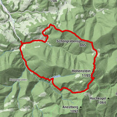
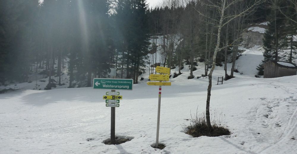
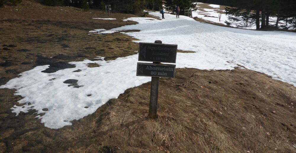
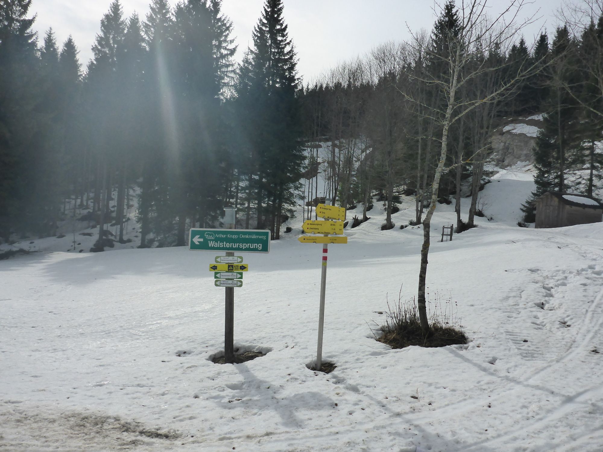
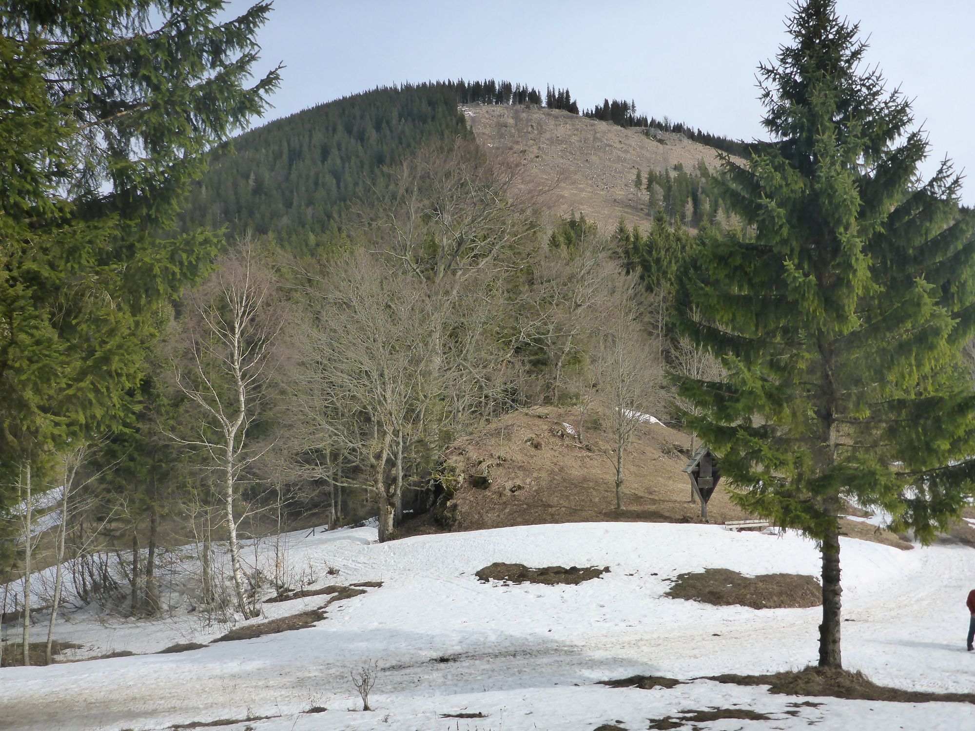
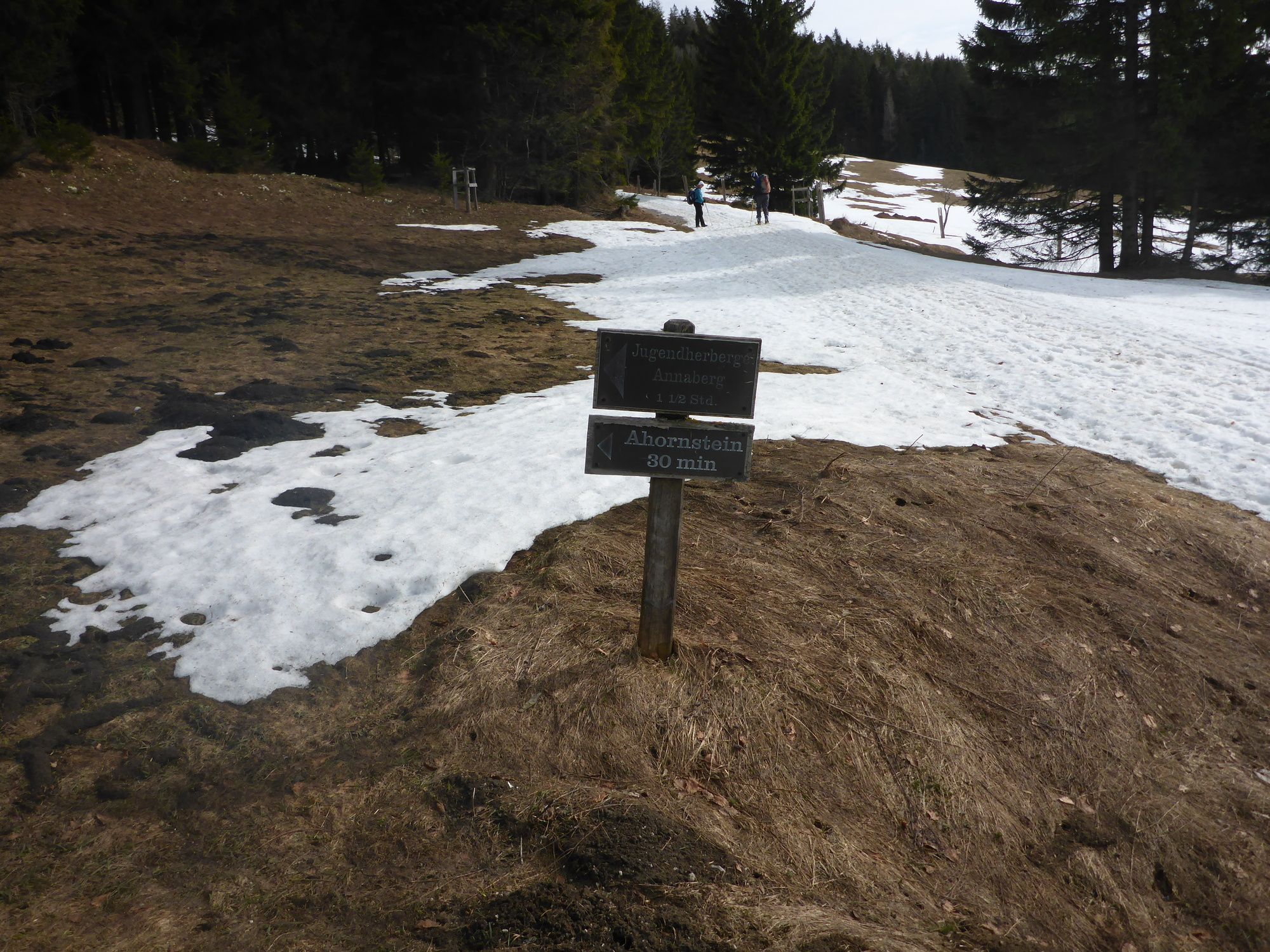
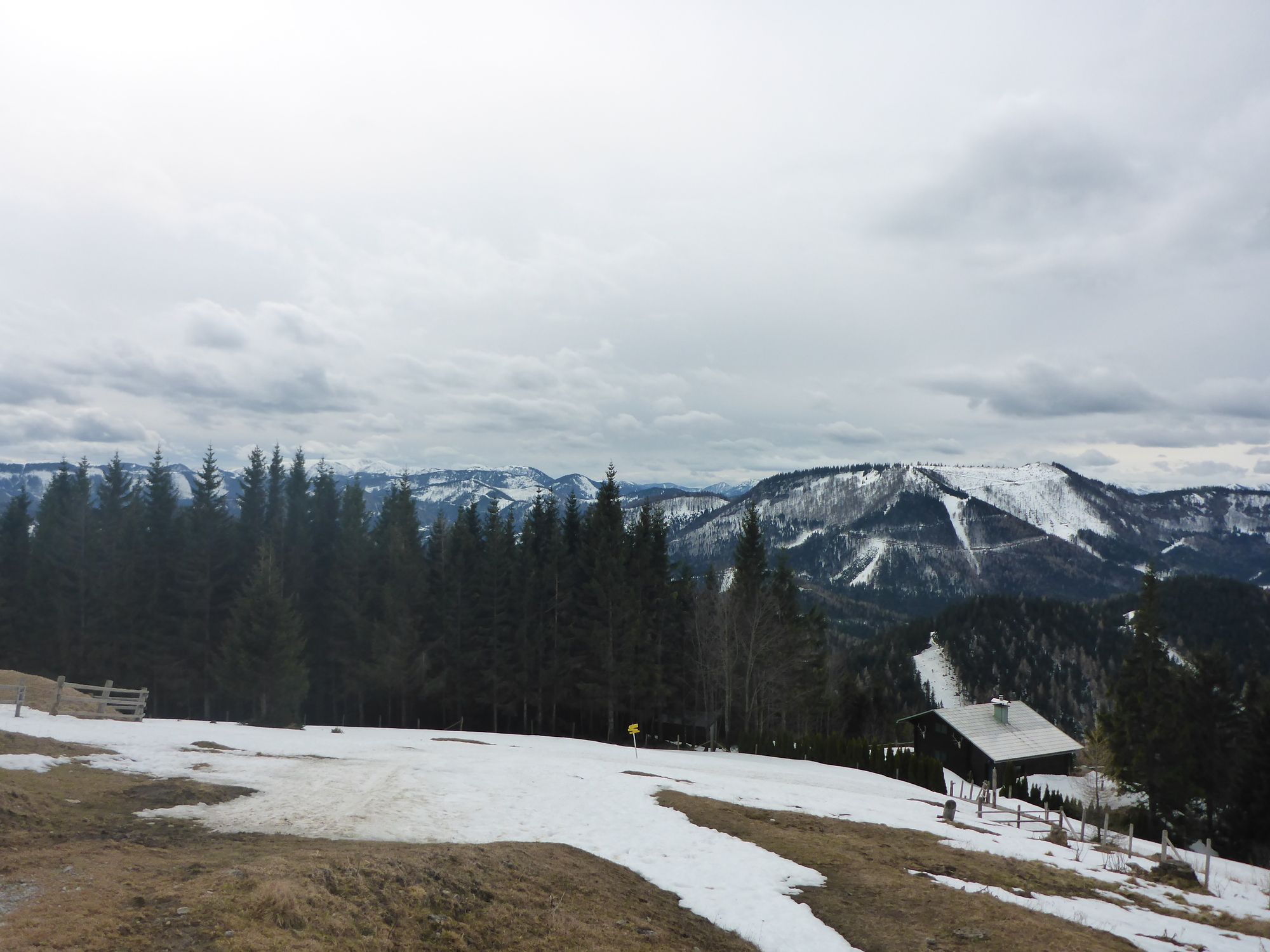
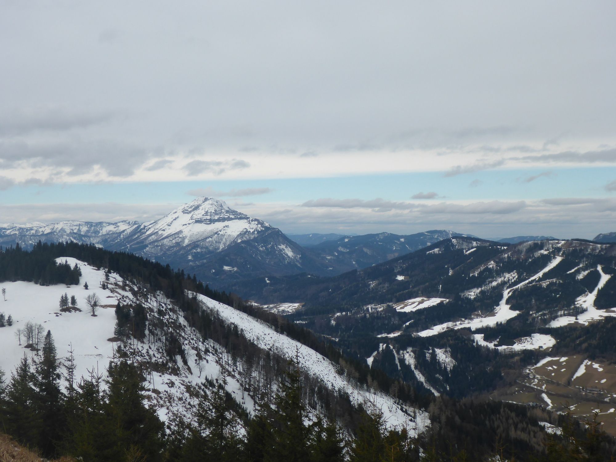
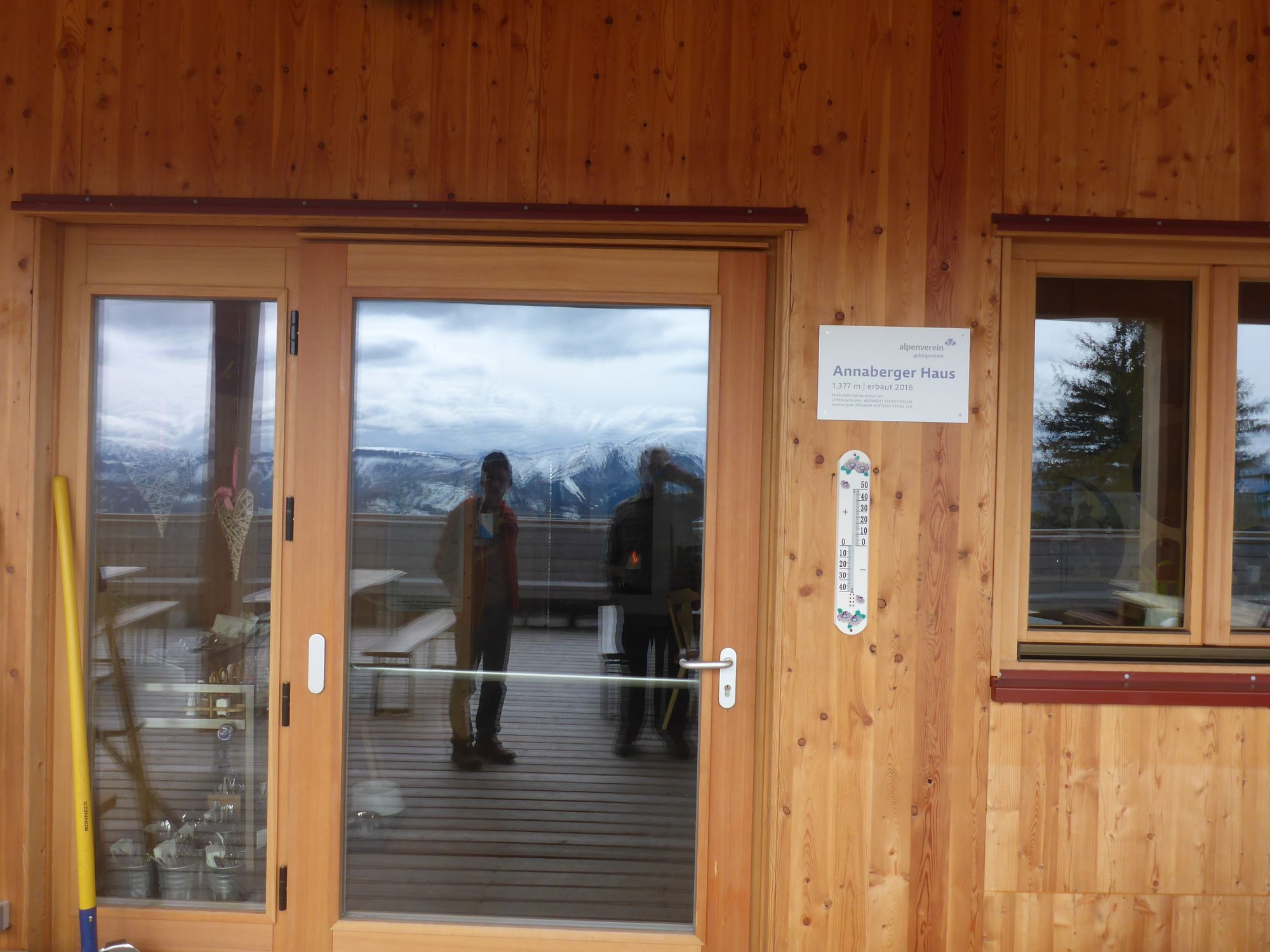
Am Gscheid2.2 kmTirolerkogel (1,380 m)4.6 kmAnnaberger Haus (1,377 m)4.7 kmAnnabergerhaus4.7 km
- Best season
-
JanFebMarAprMayJunJulAugSepOctNovDec
- Highest point
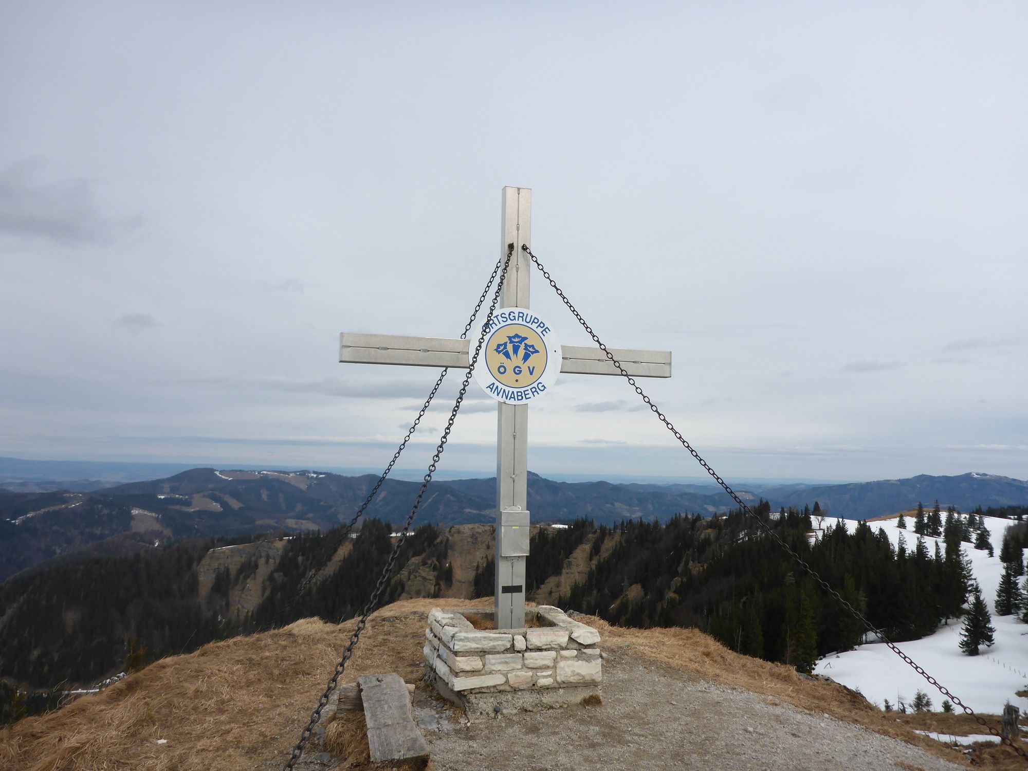
- Tirolerkogel (1,365 m)
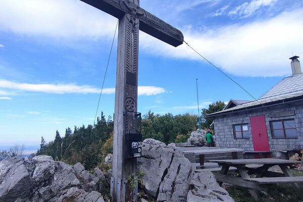
- Rest/Retreat
-
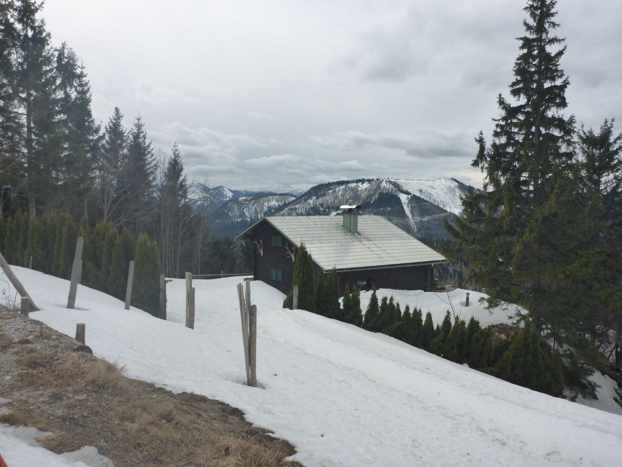
Annaberger Hütte, geöffnet Mi - So und in der Hauptsaison Mitte August bis Mitte November täglich geöffnet!
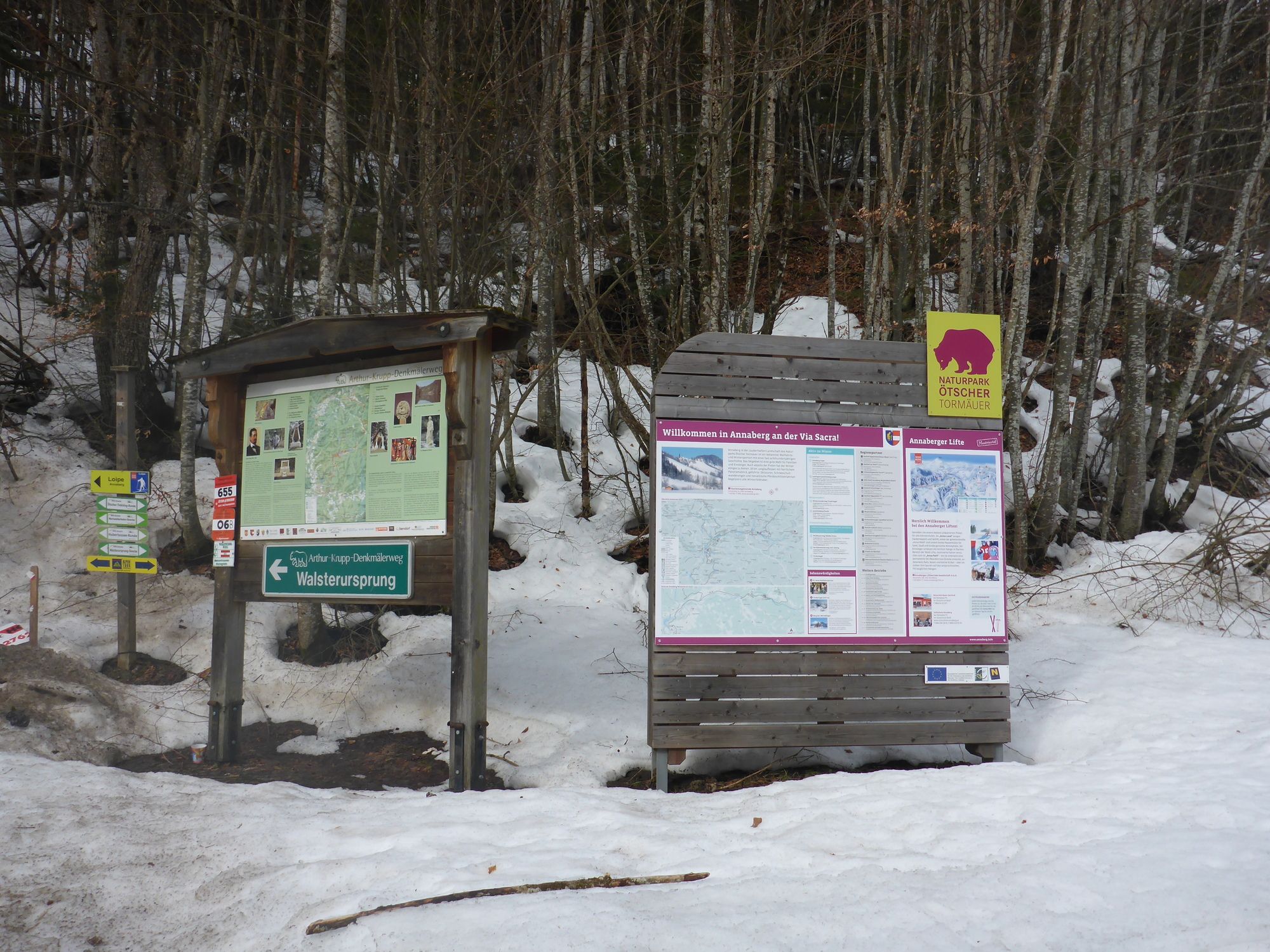
GPS Downloads


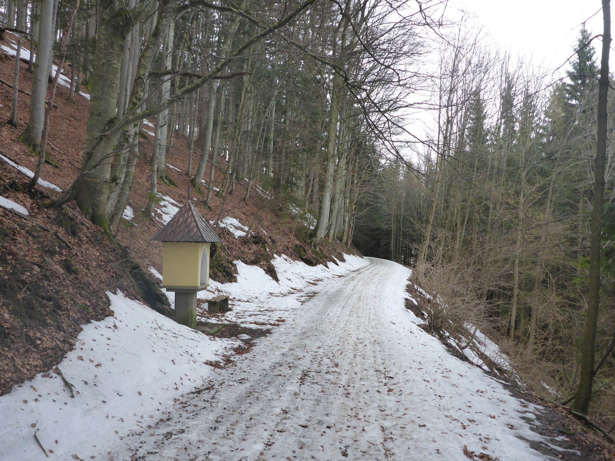
Trail conditions
Asphalt
Gravel
Meadow
Forest
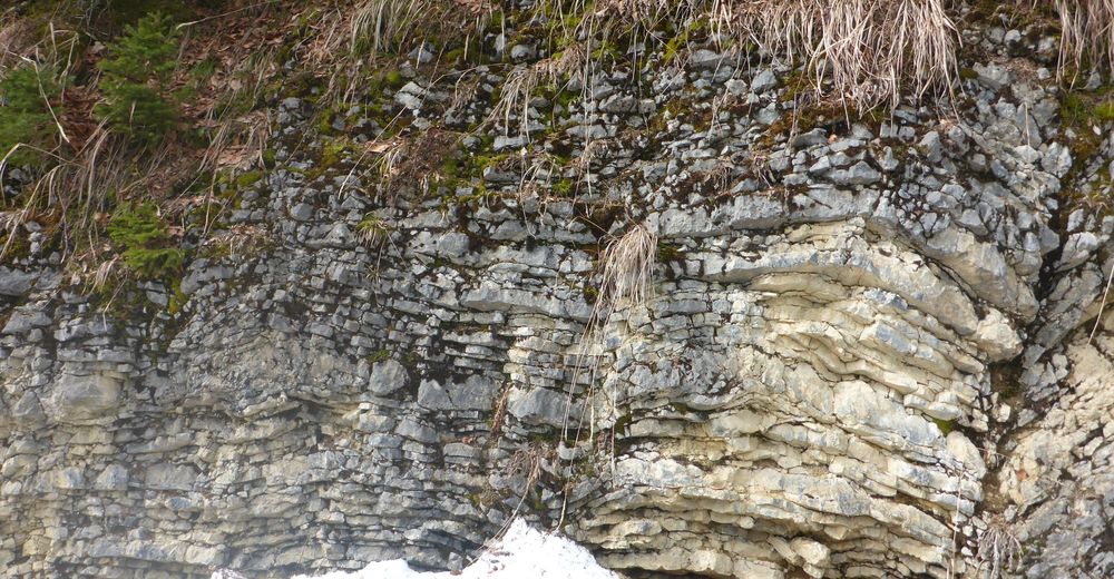
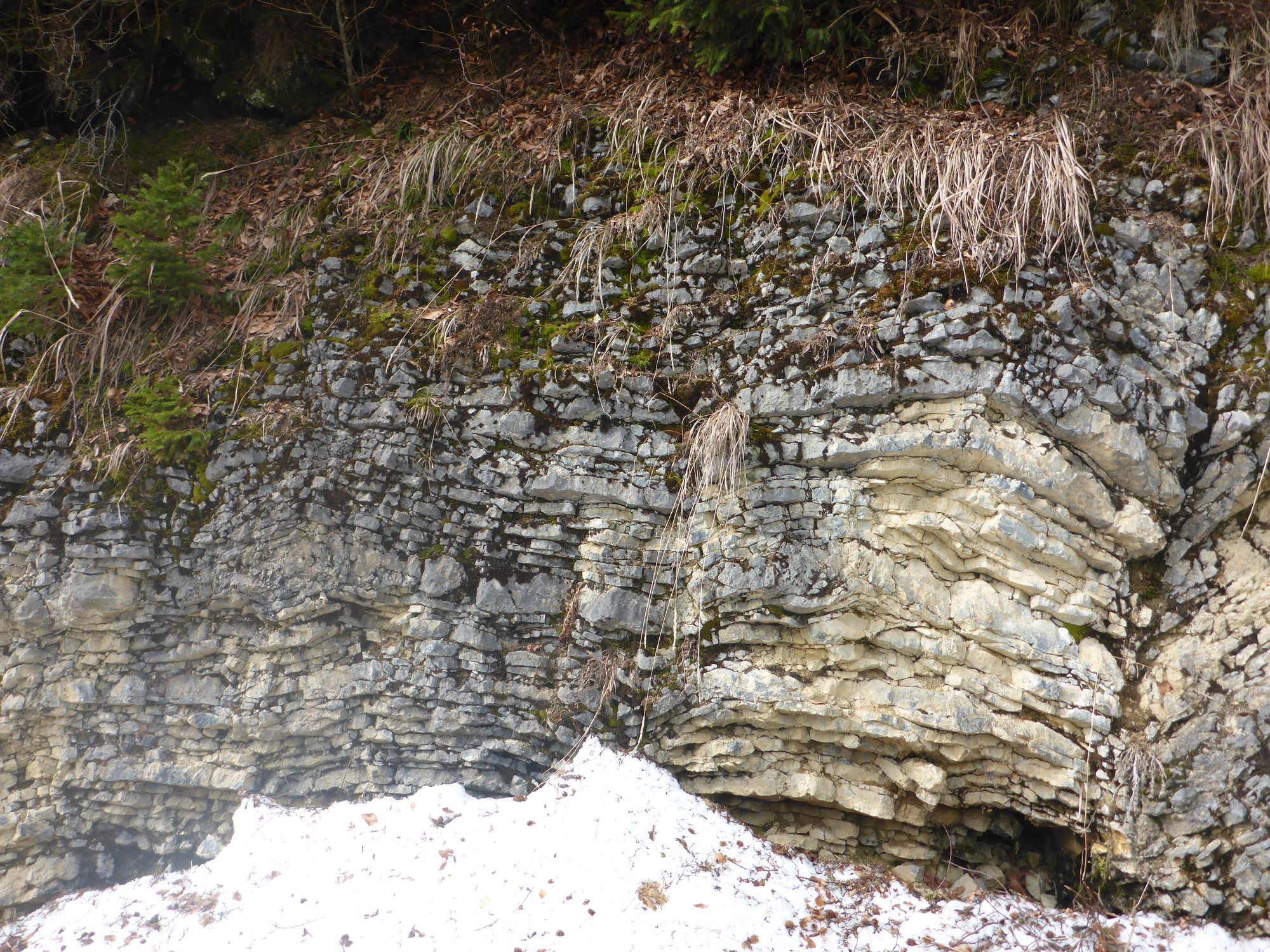
Rock
Exposed
Other tours in the regions
-
Mostviertel
2451
-
Mariazellerland
1503
-
Annaberg
433