
- Brief description
-
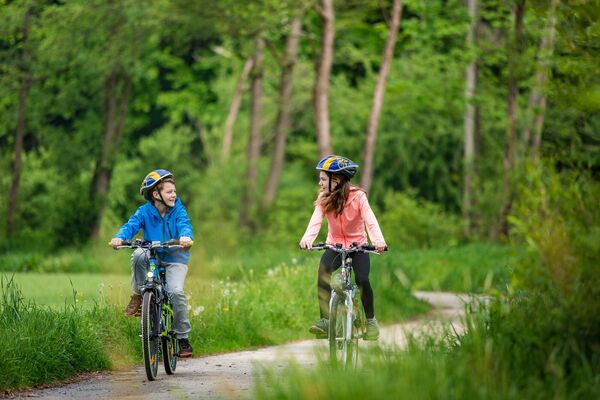
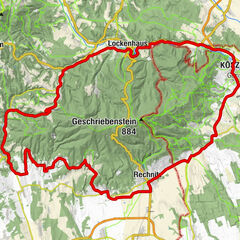
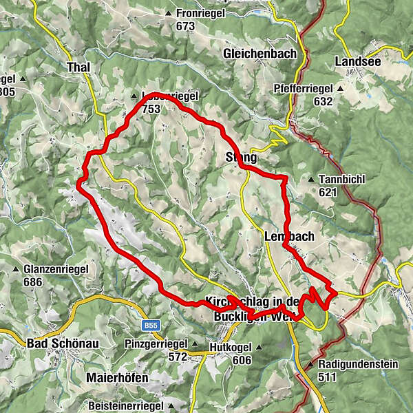
E-bike tour from Kirchschlag via Lembach and Stang back to Kirchschlag.
- Difficulty
-
medium
- Rating
-
- Starting point
-
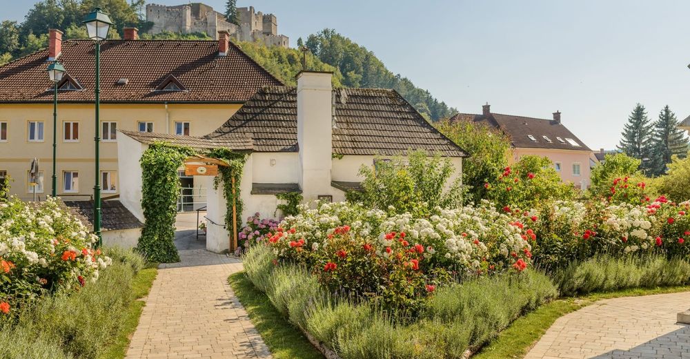
Kirchschlag municipal office
- Route
-
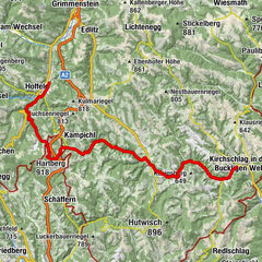
Mally's0.1 kmKirchschlag in der Buckligen Welt0.2 kmGasthaus Stocker5.6 kmLembach5.7 kmHofstatt7.9 kmStang8.9 kmAigen12.1 kmUnteraigen13.7 kmGehring14.0 kmKirchschlag in der Buckligen Welt21.7 kmPfarrkirche hl. Johannes der Täufer21.9 kmMally's22.1 km
- Best season
-
JanFebMarAprMayJunJulAugSepOctNovDec
- Description
-
The “Rosengarten” route can be extended with the panorama route to form a large loop.
- Directions
-
Start of the route in Kirchschlag. Pass the Hotel Post, after leaving the town, take a left onto Alte Karler Straße, then turn left onto the L149. Immediately after, keep right and go through the forest until you can turn left onto the L149A. Turn left twice in the direction of Lembach until you reach the village. In Lembach, turn right at the town exit and, at the next crossroads, turn left to Stang. Follow the road through Stang and continue on Aigen until you reach the village. Continue past Baumgartnereck and Untermoar and follow the road into Berggasse and back to the starting point in Kirchschlag. It is possible to connect the route with the panoramic route (blue marking).
The route is marked with signs “Rosengartenroute Nr. 2” in pink.
- Highest point
- 722 m
- Endpoint
-
Kirchschlag municipal office
- Height profile
-

- Equipment
-
Always take suitable maps with you. Wear sturdy shoes and a helmet suitable for the tour, take sun and rain protection as well as water and a snack with you. Take your mobile phone with you and save the emergency number of the rescue service: 144
- Safety instructions
-
Your routes in the Vienna Alps should be an all-round beautiful and safe experience. Therefore, please note the following:
Preparation
When choosing a route, make sure it suits your experience and condition. Check the weather forecast in advance. The weather can change surprisingly quickly in the mountains. Therefore, always set off equipped accordingly (e.g. rain protection).
Check whether the inns and snack stations you want to visit on the way are open. Inform someone about your choice of route and your planned return before you set off.
- Tips
-
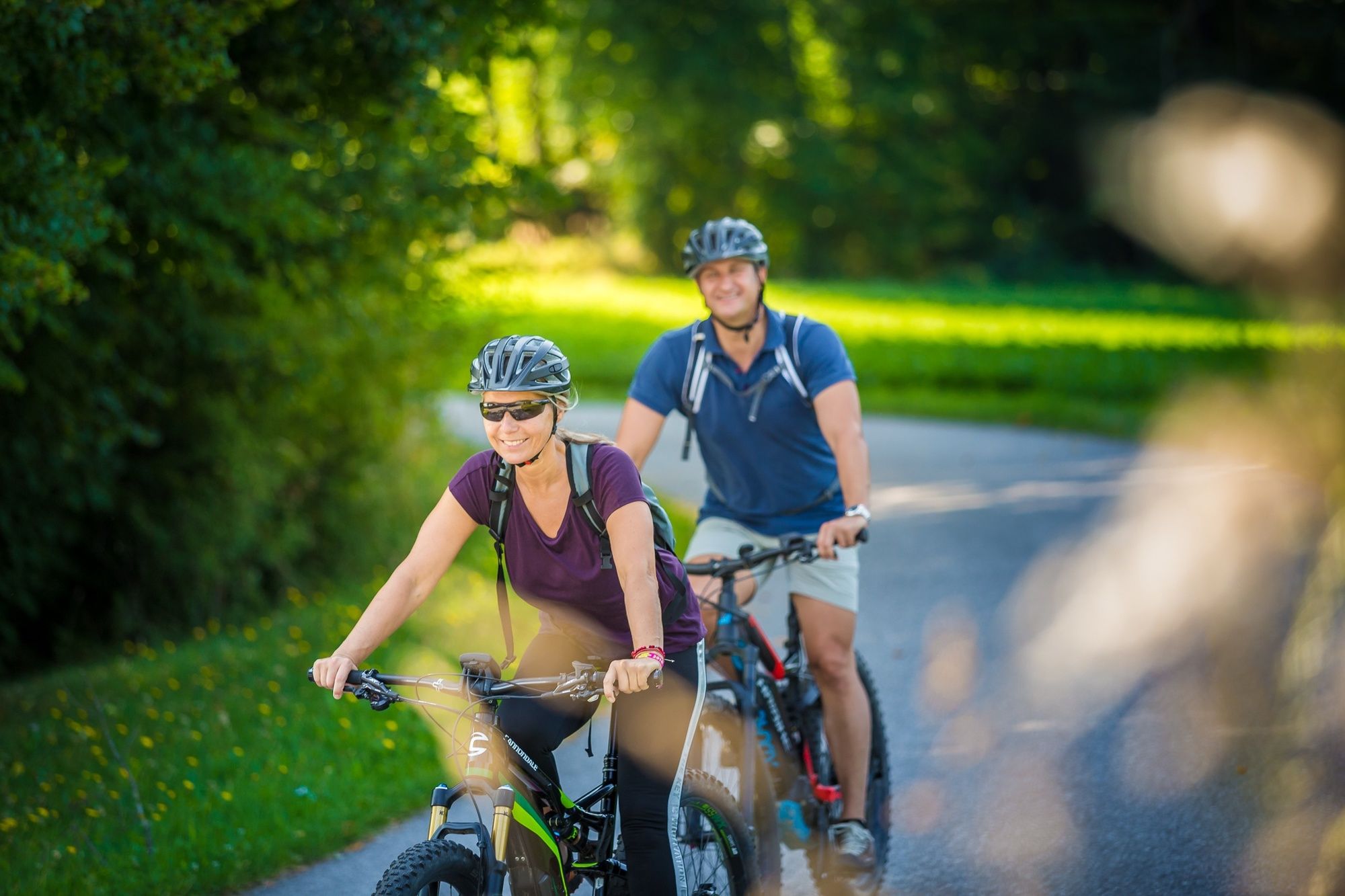
E-bike rental at the Kirchschlag community swimming pool, at the Hotel Post***s and Sport2000 Picher.
Charging stations for e-bikes can be found at Café-Konditorei Windhofer and Bistro Koll.
- Additional information
- Directions
-
Coming from Vienna on the A2, take the Krumbach exit in the direction of Hungary, then take the Krumbach junction. Follow the signs to Kirchschlag.
Coming from Graz on the A2, leave the motorway at the Aspang exit and travel towards Zöbern. Follow the signs to Kirchschlag.
- Public transportation
- Parking
-
Parking facilities at the municipal office.

- Author
-
The tour Rosegarden route – E-Bike is used by outdooractive.com provided.