
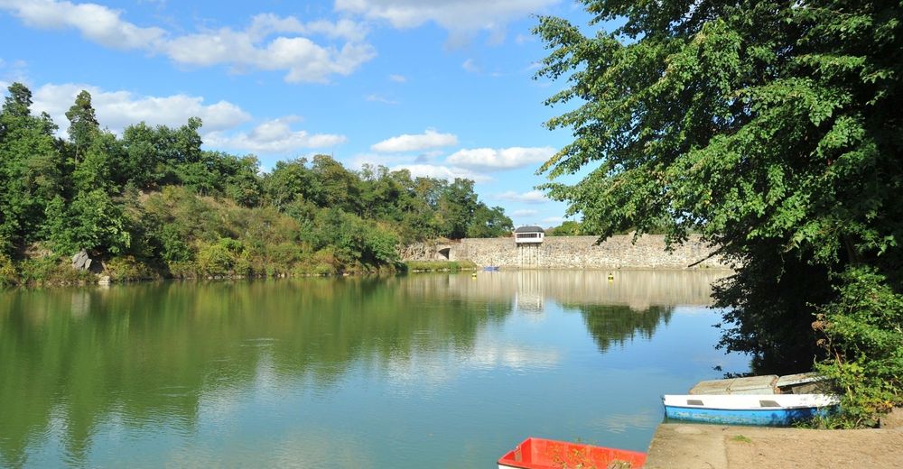
© Tourismuszentrale Südmähren - Igor Zehl
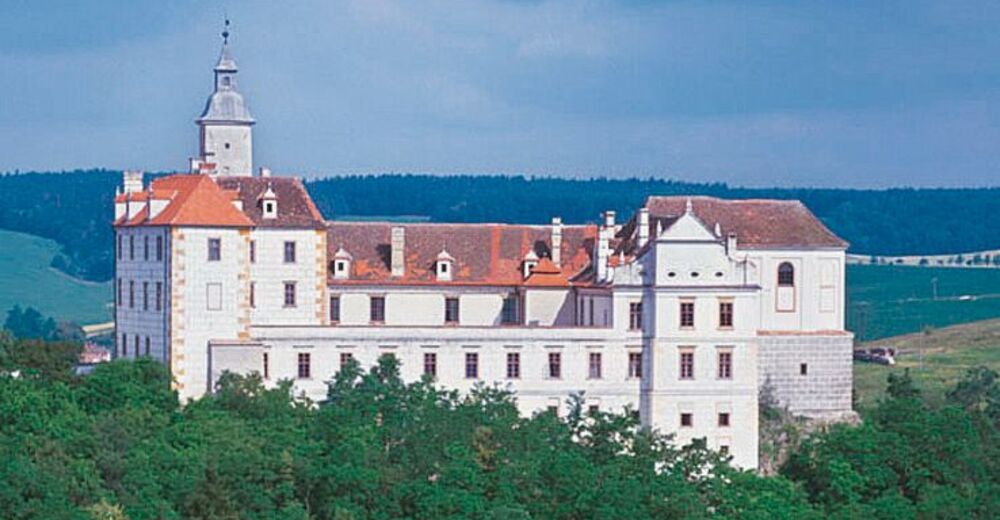
© Tourismuszentrale Südmähren - JMK
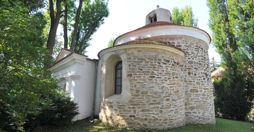
© Tourismuszentrale Südmähren - Igor Zehl
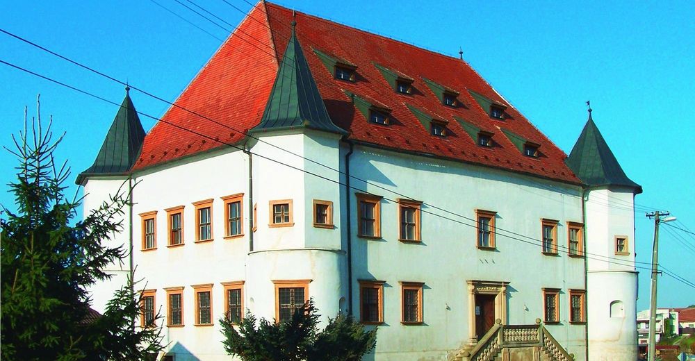
© Tourismuszentrale Südmähren - L. Najmanová

© Tourismuszentrale Südmähren - J. Žemlík
© Tourismuszentrale Südmähren - J. Zemlík
- Difficulty
-
medium
- Rating
-
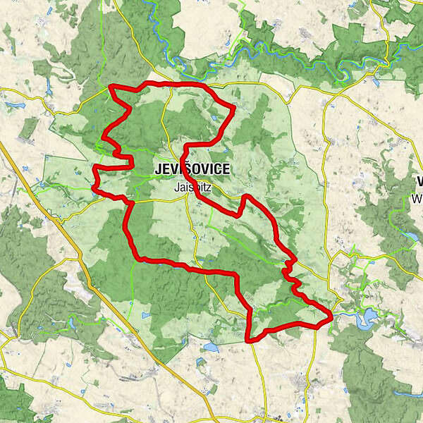
- Route
-
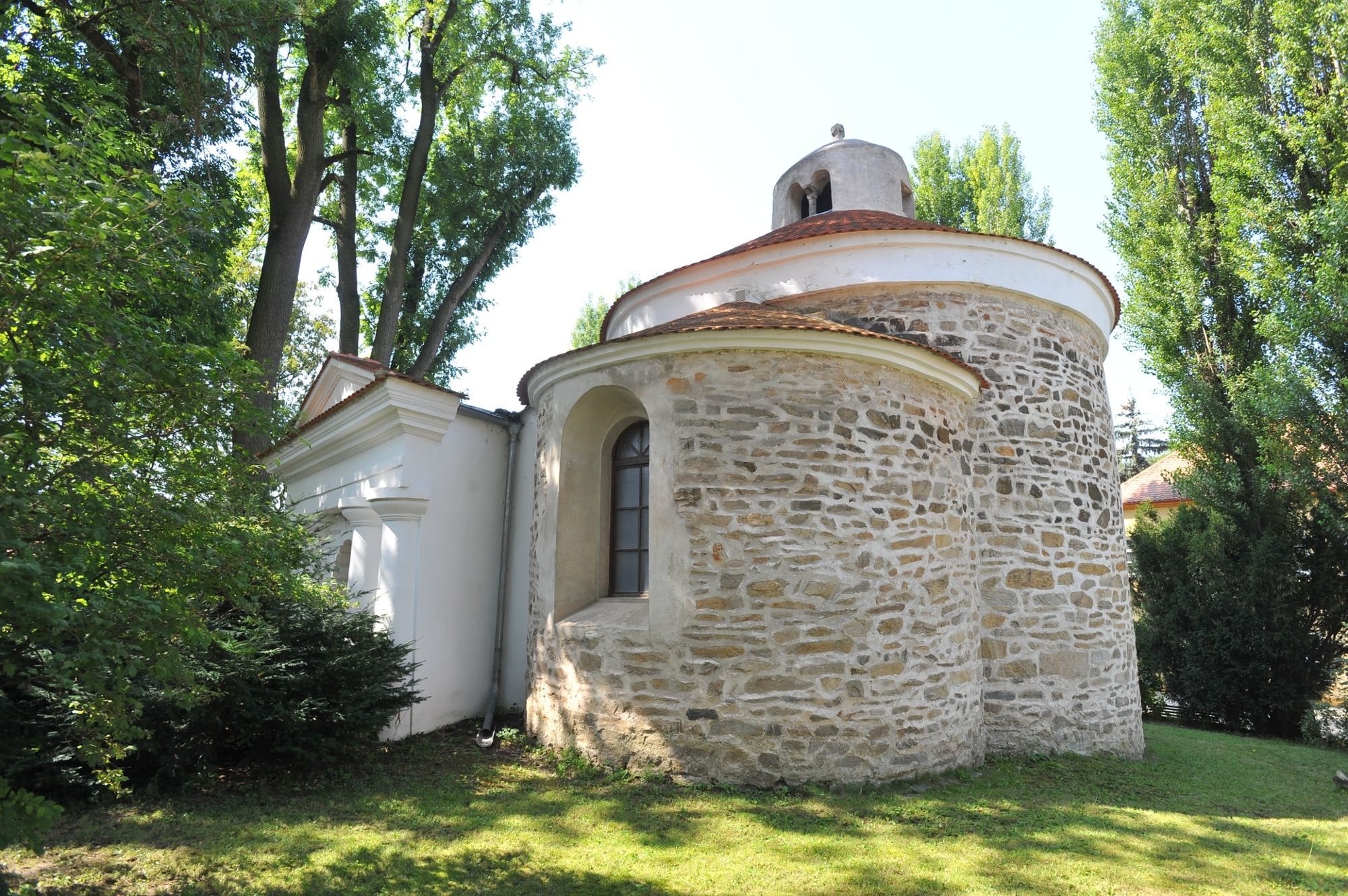
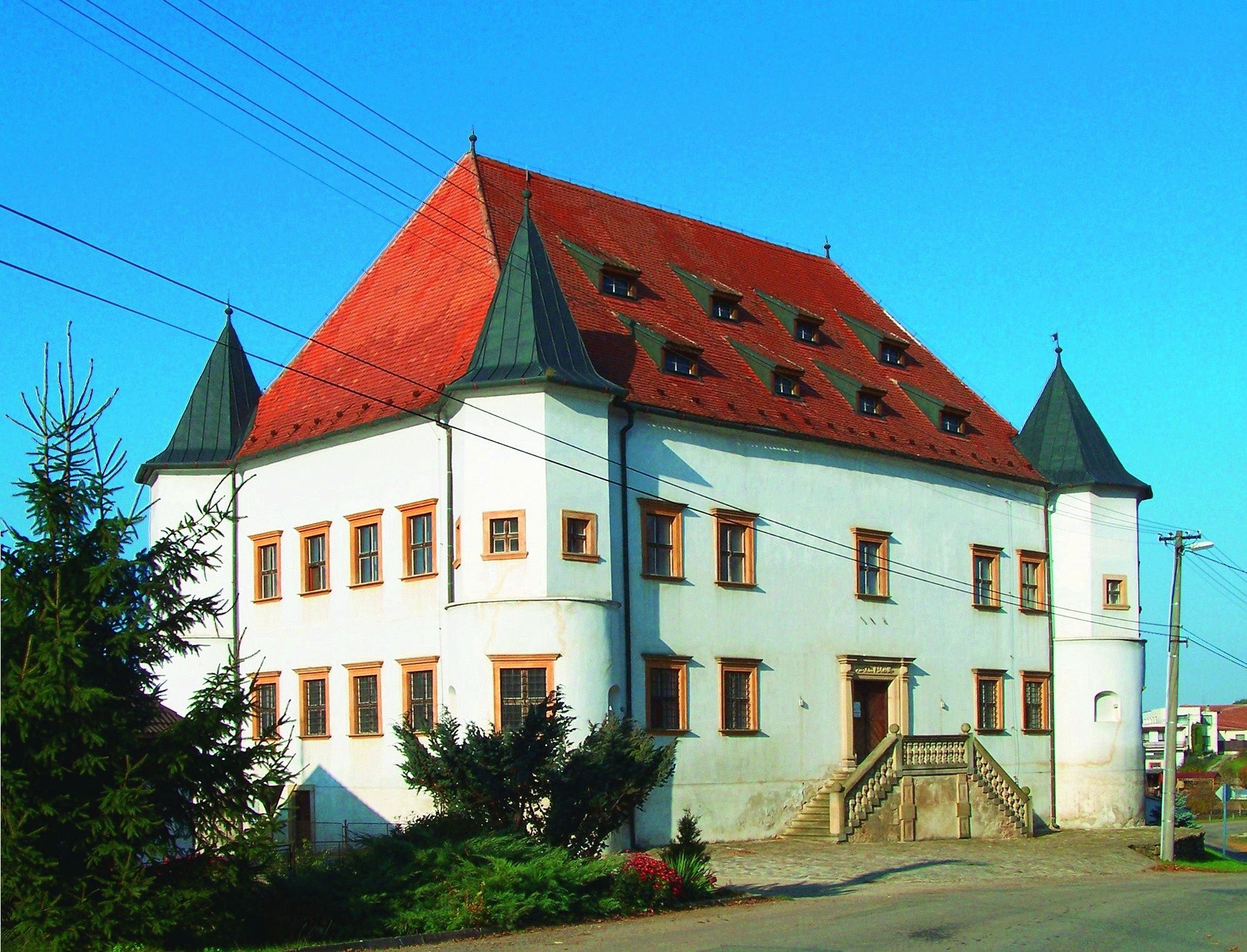
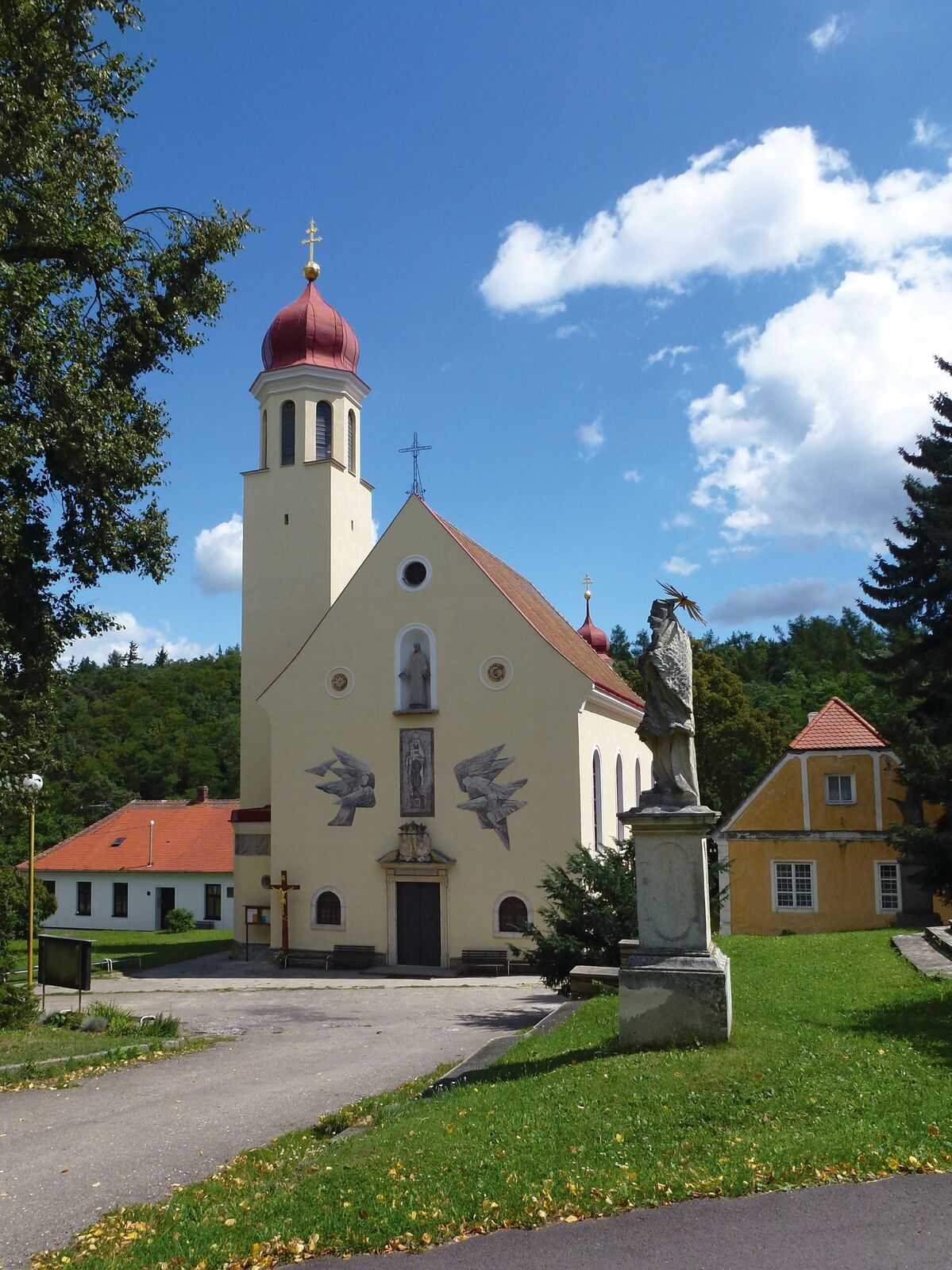
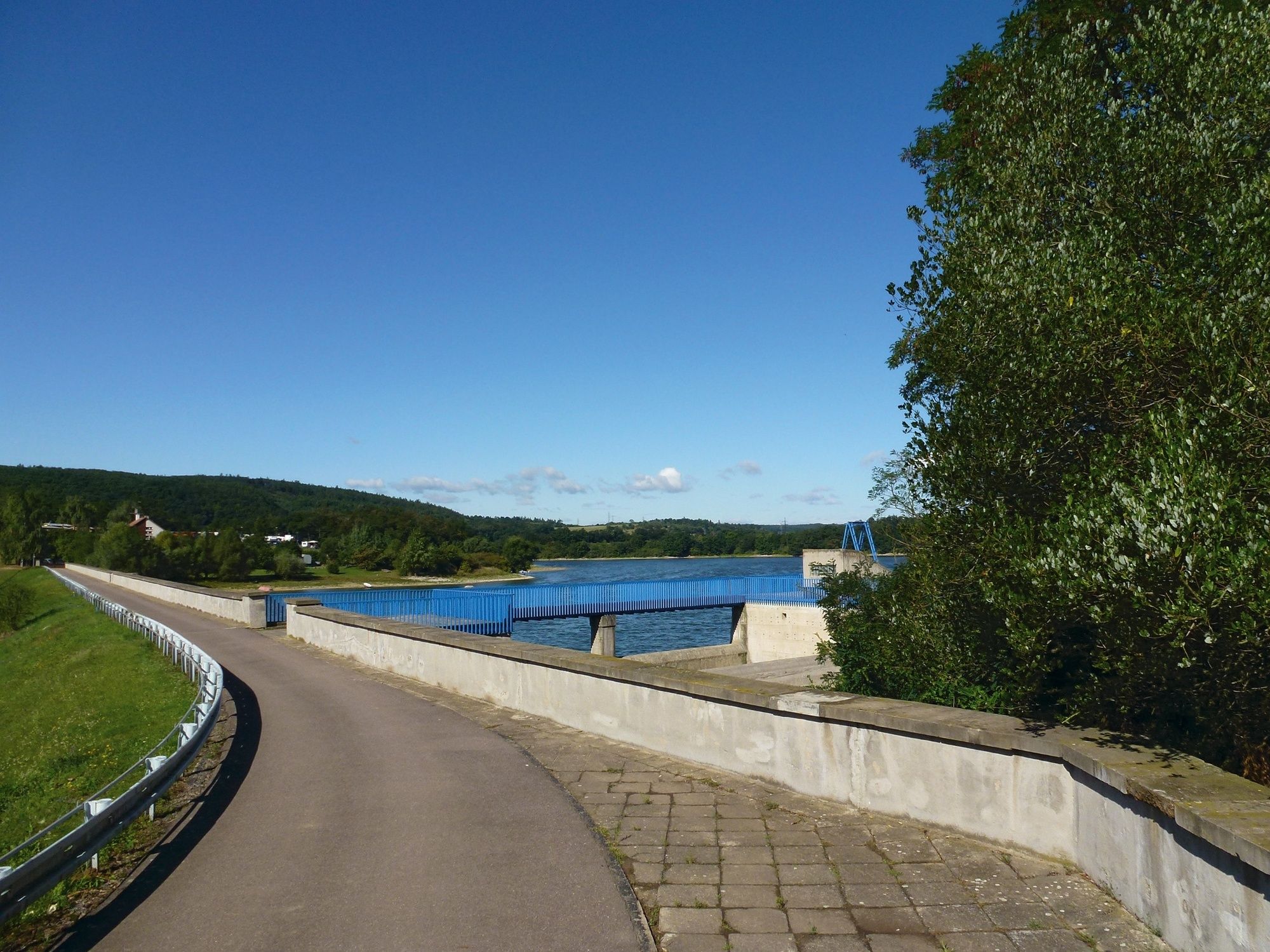
Jaispitzsv. Josef0.0 kmČernín4.0 kmVevčice6.8 kmKukle9.1 kmŠmidlův Mlýn9.9 kmPapírna10.6 kmU Šuškovce10.7 kmMlýn Culpovec / Zalpovský m.12.2 kmPlatsch13.5 kmRotunda Nanebevzetí Panny Marie13.5 kmHluboké Mašůvky18.4 kmBoskovštejn31.0 kmJiřice u Moravských Budějovic32.7 kmRozkoš44.3 kmSlatina47.3 kmStřelice52.0 kmJaispitz53.0 kmsv. Josef53.0 km
- Best season
-
JanFebMarAprMayJunJulAugSepOctNovDec
- Highest point
- 435 m
- Height profile
-
 © outdooractive.com
- Author
-
The tour The Jevišovice region - the landscape of two rivers is used by outdooractive.com provided.
GPS Downloads


General info
Refreshment stop
Cultural/Historical
A lot of view
Other tours in the regions
-
Retzer Land
47


