
- Brief description
-
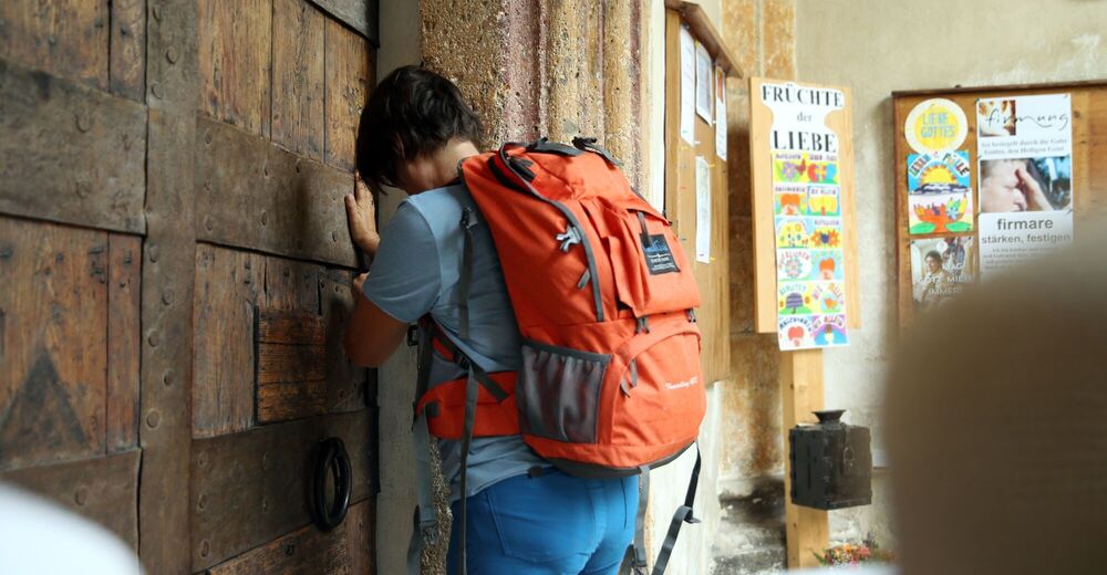
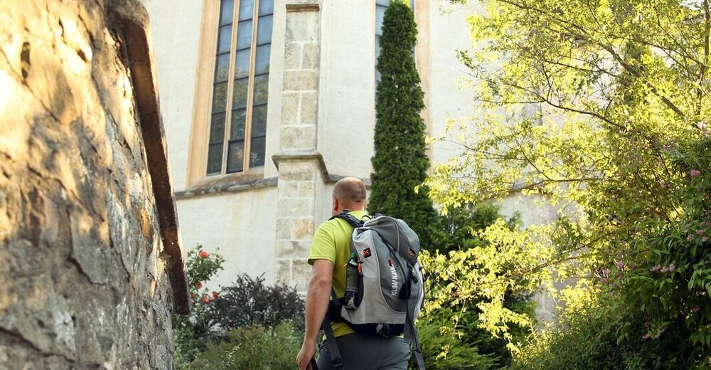
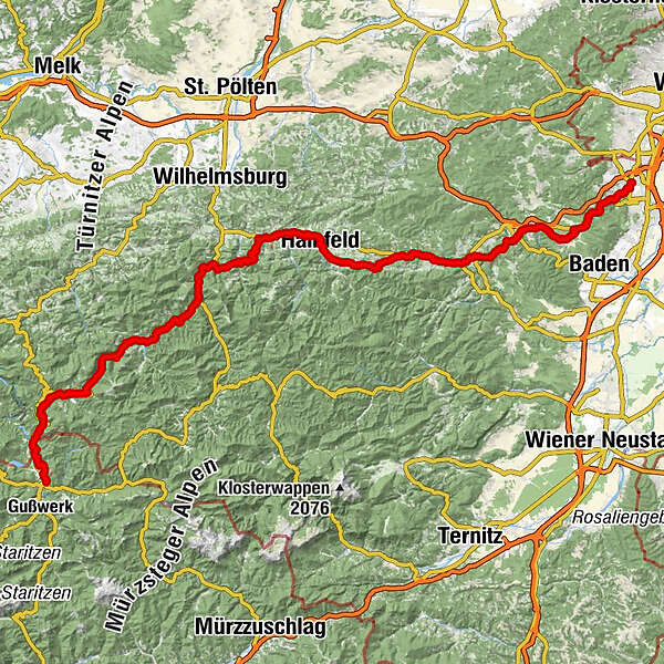
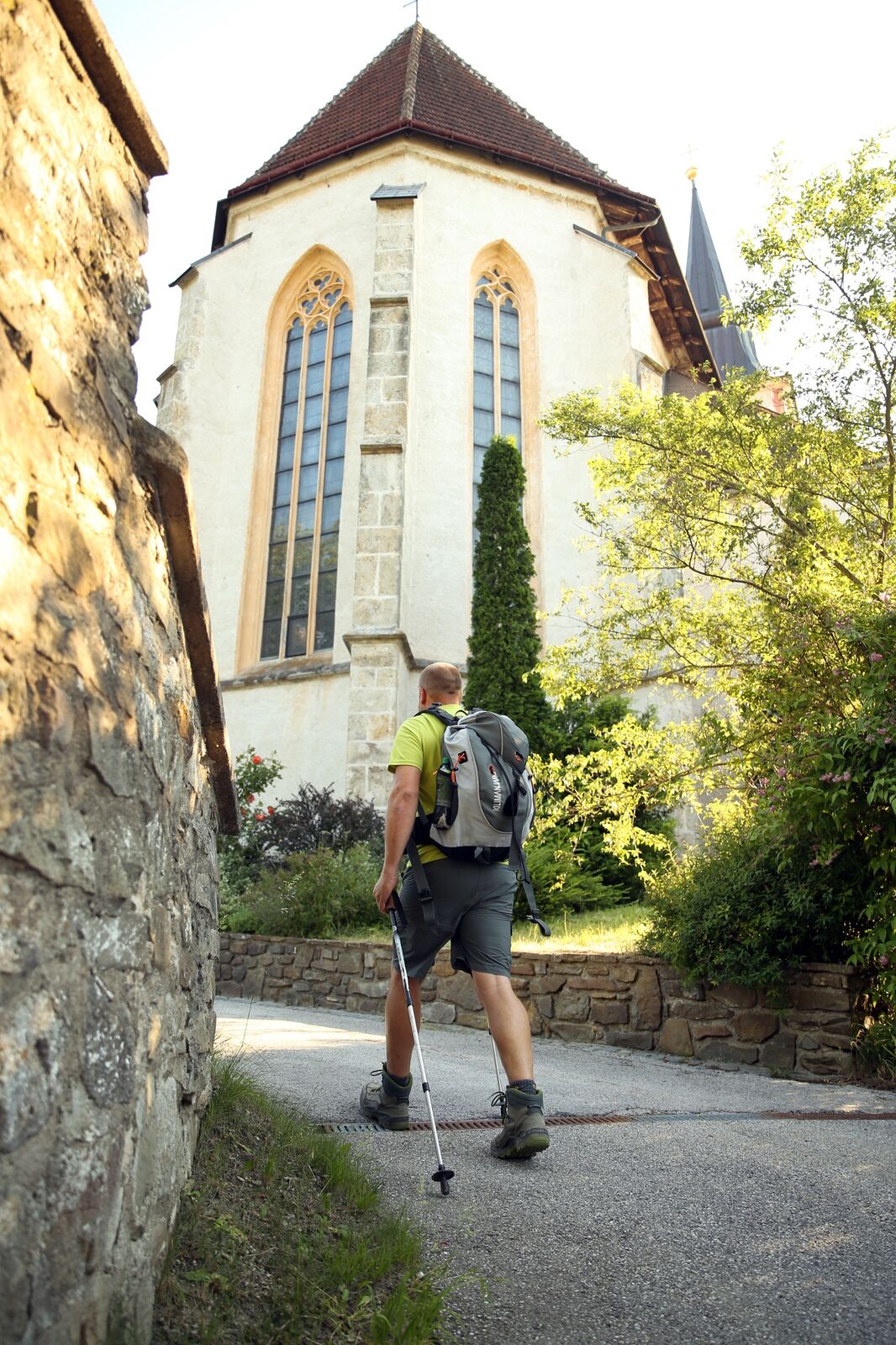
Die historische Route der „Heiligen Straße“ entspricht heute den Bundesstraßen 11 + 18 + 20. Spirituelle Stationen sind die Stifte Heiligenkreuz, Klein-Mariazell und Lilienfeld sowie die Wallfahrtskirche Annaberg auf dem ersten „Heiligen Berg“ des Ötscherlandes. Dazwischen reihen sich vom südlichen Stadtrand Wiens bei der Spinnerin am Kreuz bis nach Mariazell Bildstöcke, Kapellen und kunsthistorisch bedeutsame Kirchen.
Der heutige Via Sacra-Pilgerweg berührt die historischen Wallfahrerstationen, dazwischen verläuft er jedoch abseits der Straßen. - Difficulty
-
difficult
- Rating
-
- Route
-
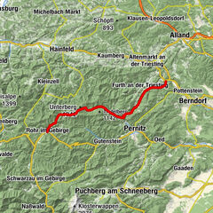
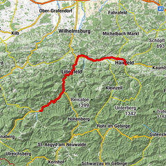
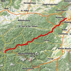
Brunn-Maria EnzersdorfBrunn am Gebirge0.2 kmFranziskaner- und Wallfahrtskirche Maria Enzersdorf0.7 kmMaria Enzersdorf1.0 kmMödling2.1 kmHotwagner2.9 kmWagnerkogel (299 m)3.5 kmSeegrotte4.2 kmHinterbrühl4.8 kmHinterbrühler Felsentor5.2 kmHöldrichsmühle6.0 kmGasthaus zu den Linden10.1 kmGasthaus zur Krone10.2 kmGaaden10.8 kmHonigspitz (343 m)11.5 kmXI Statio17.5 kmXIIII Statio17.6 kmX Statio17.6 kmXIII Statio17.6 kmIX Statio17.6 kmXII Statio17.6 kmKalvarienberg (346 m)17.6 kmVIII Statio17.7 kmVII Statio17.7 kmVI Statio17.8 kmV Statio17.8 kmIIII Statio17.8 kmIII Statio17.8 kmII Statio17.9 kmI Statio17.9 kmKellerstüberl18.0 kmKlostergasthof18.1 kmHeiligenkreuz18.1 kmKerzengrotte18.2 kmLourdesgrotte18.3 kmSchüttkastenhöhle18.3 kmSagbründl18.3 kmAllander Höhe (423 m)19.8 kmGasthof zum Alten Jagdschloss21.1 kmMayerling21.2 kmUntermeierhof22.9 kmMaria Raisenmarkt24.0 kmPizzeria Mafiosi24.2 kmHll. Philipp und Jakobus24.2 kmHolzschlag26.2 kmGasthof am Holzschlag26.3 kmSchützhaus Karner am Holzschlag26.4 kmNöstach28.3 kmGasthof zur Linde29.6 kmUnsere liebe Frau29.7 kmHafnerberg29.7 kmGasthaus kleiner Semmering29.7 kmHansihöhle30.4 kmZum schwarzen Adler31.3 kmAltenmarkt an der Triesting (410 m)31.7 kmWallfahrtskirche zum leidenden Heiland33.1 kmDornau33.3 kmThenneberg33.5 kmGasthof Renzenhof36.8 kmUntertriesting36.9 kmGasthof Obermaier37.5 kmKaumberg39.7 kmKirchenwirt39.8 kmBurgstüberl Araburg42.9 kmPlattnerhöhe (738 m)48.2 kmHainfeld51.4 kmRohrbach an der Gölsen55.2 kmGasthaus Linsbichler55.2 kmRohrbach an der Gölsen55.3 kmUnterrohrbach55.4 kmPfarrkirche hl. Bartholomäus55.4 kmBernreit56.8 kmRainfeld57.8 kmKropfsdorf60.0 kmSt. Veit an der Gölsen (369 m)61.3 kms'Wirtshaus Fam. Nathaniel61.3 kmPfarrkirche St. Veit61.4 kmBrillergraben62.4 kmBrillergraben62.7 kmHasenwirt68.6 kmVordereben70.6 kmFriedhofskapelle71.7 kmStiftstaverne72.3 kmLilienfeld72.7 kmStangental73.7 kmSchrambach75.9 kmWirtshaus Am Steg76.0 kmAußerfahrafeld78.0 kmFreiland78.8 kmLehenrotte81.3 kmMoosbach83.0 kmPfarrkirche St. Martin88.1 kmTürnitz88.3 kmJohannes-Kapelle88.3 kmAnthofsiedlung89.5 kmSteinbachrotte93.2 kmGstettenhof93.7 kmMaria-Siebenbrunn95.7 kmKehre 1 - Patsch Reith100.3 kmKehre 3 - Annabild Reith100.5 kmAnnaberg (976 m)101.5 kmSt. Anna101.6 kmAnnaberg101.7 kmKehre 8 - Hafner Reith102.1 kmSägemühle103.0 kmGasthof Pension Sägemühle103.0 kmSchaglhof106.8 kmJoachimsberg106.8 kmWienerbruck108.4 kmJosefsberg110.1 kmJosefsrotte112.1 kmEben112.7 kmMitterbach-Seerotte114.1 kmGasthaus Rauscher114.1 kmHulatsch114.1 kmFilzwieser114.2 kmSt. Sebastian116.0 kmSankt Sebastian119.5 kmMariazell120.7 km
- Best season
-
JanFebMarAprMayJunJulAugSepOctNovDec
- Description
-
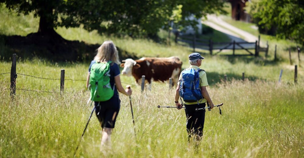
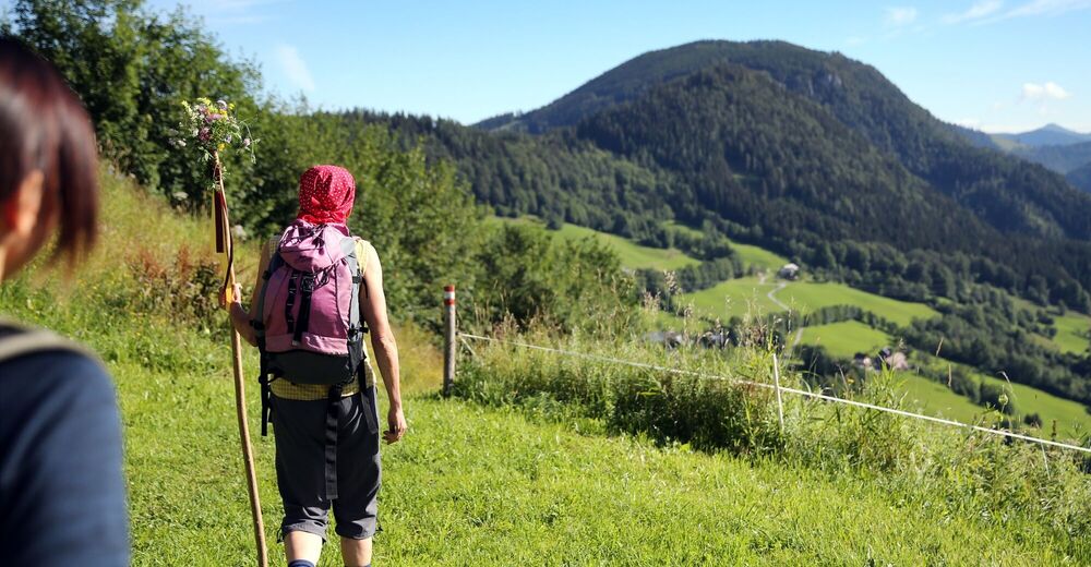
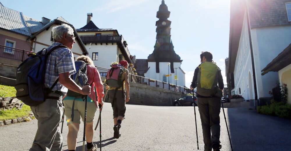
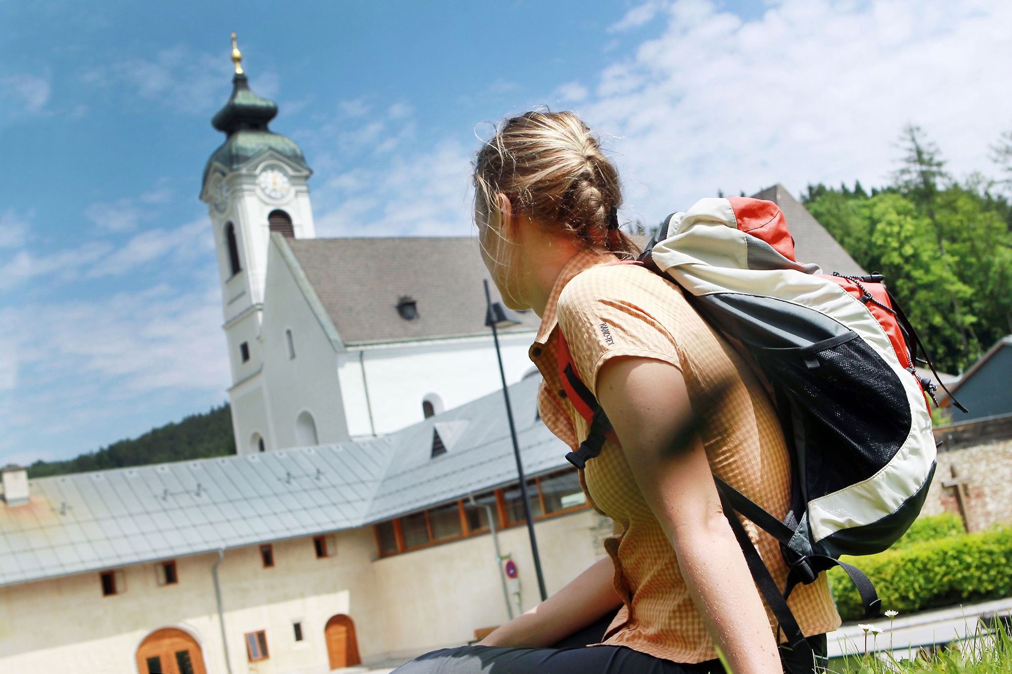
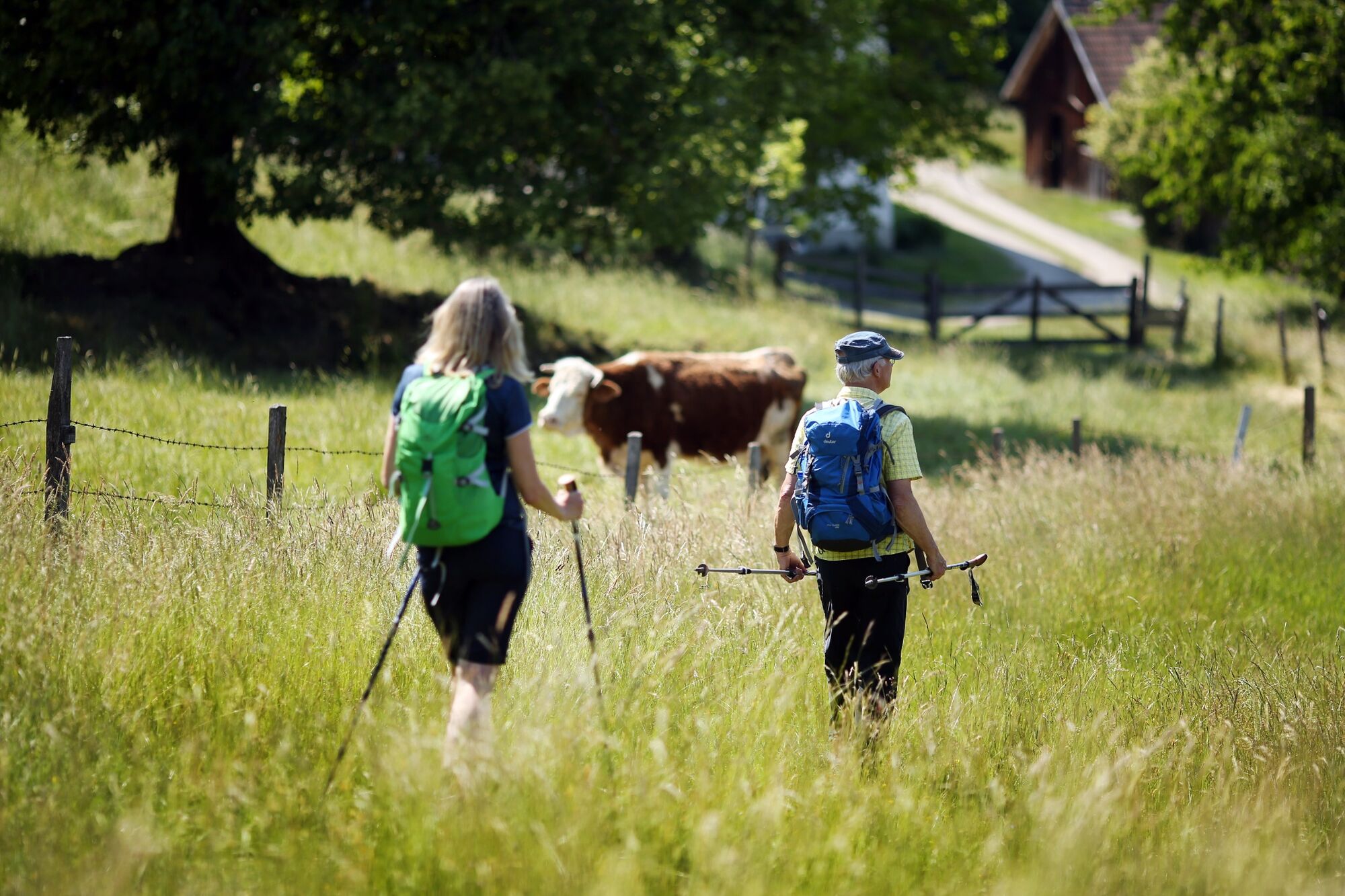
There are many ways, which lead to Mariazell, and many lead through Lower Austria. However it doesn’t need to be the –Alma Mater Austriae– right of the bat! First-time Pilgrims journey, over two stages of the Via Sacra from Kaumberg, to the first "Holy Mountain” of the Mostviertels, the mountain Tannberg. Today it is called Annaberg. Those who wander here along the Via Sacra in its original variant, there are several variants, will relinquish many sins in the "Langen Wald" (forest) of the Türnitzschlucht. On the credit side, stand the cultural monuments, Araburg, the Cathedral of Gölsentales in St. Veit, Stift Lilienfeld, and Siebenbrünn before one enters, in Annaberg, the Wallfahrtskirche (pilgrimage church) resting on the "first holy mountain." Throughout the pilgrimage, one covers contemplative landscape environments over high-ridges with historically documented Büßeretappen.
- Directions
-
Stage 1: Kaumberg - Hainfeld - Rohrbach - St. Veit - Lilienfeld
The Araburg (with hostel) is reached within an hour from Kaumberg. On the Via Sacra pilgrimage route one transits to the Gölsental following on to Hainfeld and Rohrbach, after which along the Gölsen one hikes to St. Veit with its -Dom of Gölsentals- (6 hours from Kaumberg). Further travel continues on the very rewarding mountain route with two increases through Staff - Wiesenbach - Vordereben to Lilienfeld (3 ¼ hours). Accommodation is in Lilienfeld.
Stage 2: Lilienfeld - Schrambach - Freiland - Lehenrotte - Türnitz - Annaberg.
The route in the Traisental, through Schrambach - Freiland - Lehenrotte, is accomplished consistently on flat walking and cycle paths, from Freiland to Dickenau partially along the Bundesstraße 20. From Dickenau one reaches, through the Eibentaler Klamm (gorges) forest paths and promenades, which far away from the road lead to Türnitz (4½ hours). Through the -Langen Wald- of the Türnitzschlucht, with its Baroque Stations of the Cross and the Chapel Siebenbrünn, a path along the main road leads up to Annabild-Reit (completed 2008). From there one reaches via a shortcut the Anna-Wallfahrtskirche (pilgrimage church) situated on the "1st Holy Mountain," with its view of the Ötscher, and which now accompanies the original Pilgrimage route (3 ½ to 4 hours). Accommodation is in Annaberg.
- Highest point
- 1,011 m
- Endpoint
-
Mariazell
- Height profile
-

- Additional information
- Directions
-
Outer ring-highway, A21 exit Alland - B 18 Altenmarkt - Kaumberg. Or A1 St. Pölten - B 20 to Traisen - B 18 Hainfeld - Kaumberg.
Return to the starting point from Annaberg with the Postautobus, which goes to Wien/Südtiroler Platz.


- Author
-
The tour Via Sacra is used by outdooractive.com provided.


General info
-
Wienerwald
4223
-
Elsbeere-Wienerwald
1218
-
Kleinzell
378