

- Brief description
-
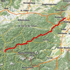
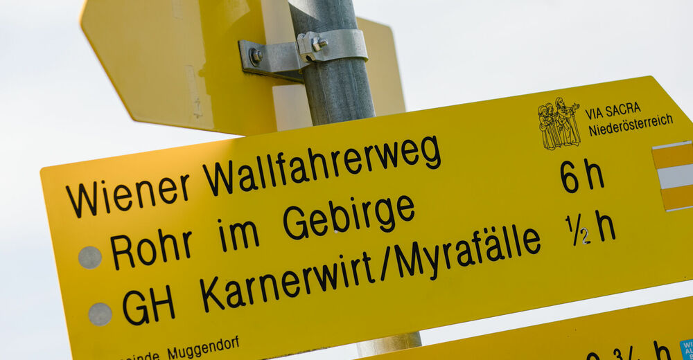
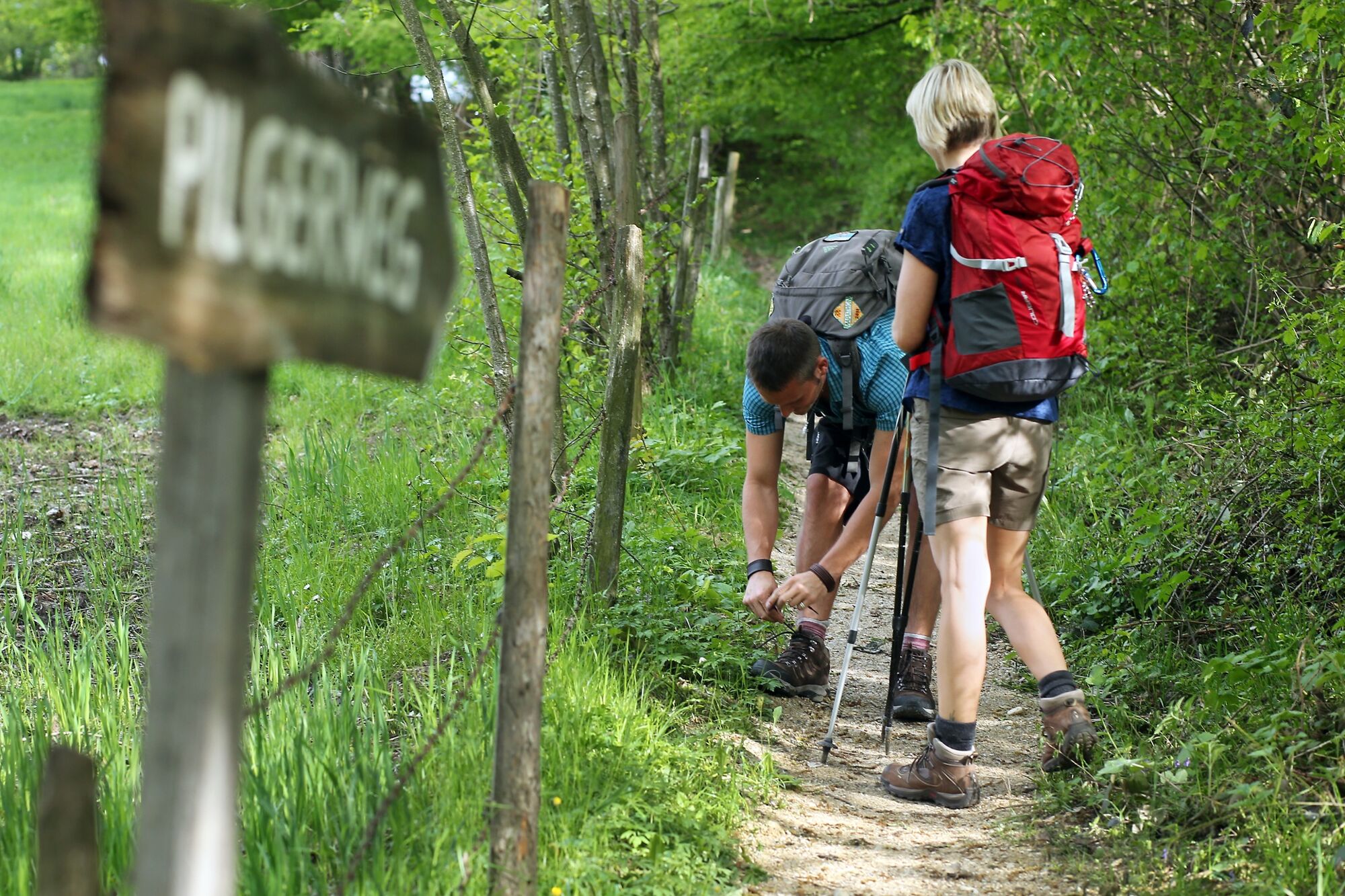
Perchtoldsdorf bzw. Wien-Rodaun - Mayerling - Kaumberg - Rohr im Gebirge - St. Aegyd am Neuwalde - Mariazell
- Difficulty
-
difficult
- Rating
-
- Starting point
-
Wien (Vienna) -Rodaun
- Route
-
Pfarrkirche St. AugustinPerchtoldsdorf0.0 kmSaugrabenloch2.0 kmFranz-Ferdinand-Schutzhaus2.5 kmTeufelsklippenstollen2.5 kmHinterer Föhrenberg (581 m)3.2 kmKammersteinerhütte3.3 kmGasthaus zum Salzstanglwirt auf der Kugelwiese4.1 kmGroßer Sattel (543 m)4.6 kmRastplatz Seewiese6.0 kmHochstraße VI6.6 kmHochstraße VII6.7 kmKreuzsattel (592 m)8.1 kmSittendorf10.9 kmMeierei Füllenberg12.3 kmFüllenberg13.0 kmXI Statio14.5 kmXIII Statio14.5 kmXIIII Statio14.5 kmX Statio14.5 kmKalvarienberg (346 m)14.5 kmXII Statio14.5 kmIX Statio14.5 kmVIII Statio14.6 kmVII Statio14.7 kmVI Statio14.7 kmV Statio14.7 kmIIII Statio14.8 kmIII Statio14.8 kmII Statio14.8 kmI Statio14.8 kmKellerstüberl14.9 kmKlostergasthof14.9 kmHeiligenkreuz15.1 kmKerzengrotte15.1 kmSchüttkastenhöhle15.1 kmLourdesgrotte15.1 kmSagbründl15.2 kmAllander Höhe (423 m)16.7 kmGasthof zum Alten Jagdschloss18.0 kmMayerling18.2 kmUntermeierhof19.8 kmMaria Raisenmarkt20.9 kmPizzeria Mafiosi21.1 kmHll. Philipp und Jakobus21.2 kmHolzschlag23.1 kmGasthof am Holzschlag23.3 kmSchützhaus Karner am Holzschlag23.3 kmNöstach25.3 kmUnsere liebe Frau26.5 kmMarienkapelle26.6 kmHafnerberg26.6 kmKirchenwirt32.1 kmBasilika und ehem. Benediktinerkloster Klein-Mariazell32.1 kmKlein-Mariazell32.2 kmGasthof Obermaier40.2 kmKaumberg42.5 kmKirchenwirt42.6 kmBurgstüberl Araburg45.7 kmKölchberg (819 m)46.5 kmVeiglkogel (808 m)47.9 kmKieneck (1,106 m)52.6 kmKirchwaldberg (1,068 m)54.6 kmUnterberg Schutzhaus58.1 kmMaria Einsiedl58.2 kmMiralucke59.5 kmKlauswirt (Gasthaus zur Klaus)64.7 kmgoldener Wagen65.4 kmBergmanderllucka65.7 kmKaiser Franz Joseph67.4 kmRohr im Gebirge67.4 kmSt. Ulrich67.5 kmGasthaus zur Weintraube67.5 kmAussichtsturm (725 m)69.5 kmKrumbach70.3 kmKalte Kuchl (731 m)72.1 kmViasacrakapelle72.2 kmIn der Grün73.1 kmGasthof zum Niederhaus - Perthold87.5 kmSt. Aegyd am Neuwalde (588 m)87.7 kmVogelleitner87.8 kmZum Blumentritt - Christa Hollerer & Ulli Hollerer-Reichl87.8 kmPfarrkirche Hl. Ägidius87.8 kmUnrechttraisen90.5 kmGschoadwirt97.3 kmGscheid97.3 kmKrummbachsattel (951 m)100.4 kmZur Wuchtl-Wirtin104.6 kmWalstern105.6 kmBruder-Klaus-Kirche106.6 kmHabertheurersattel (1,015 m)110.5 kmSankt Sebastian114.3 kmMariazell115.5 km
- Best season
-
JanFebMarAprMayJunJulAugSepOctNovDec
- Description
-
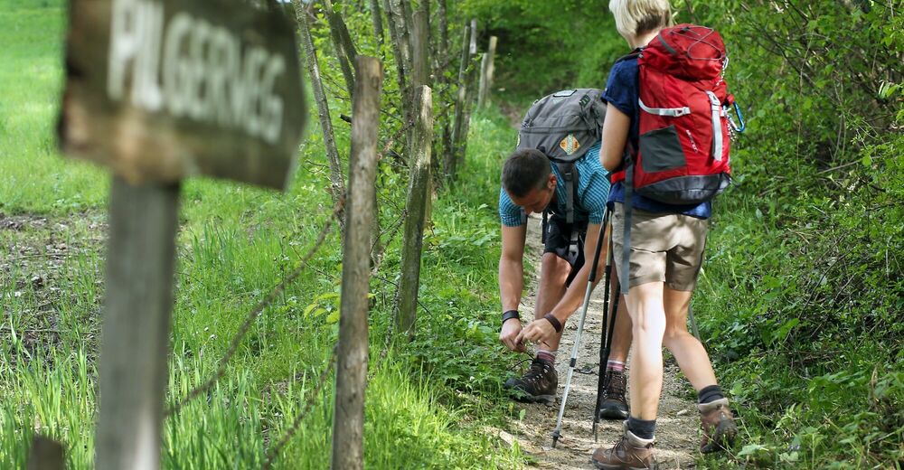
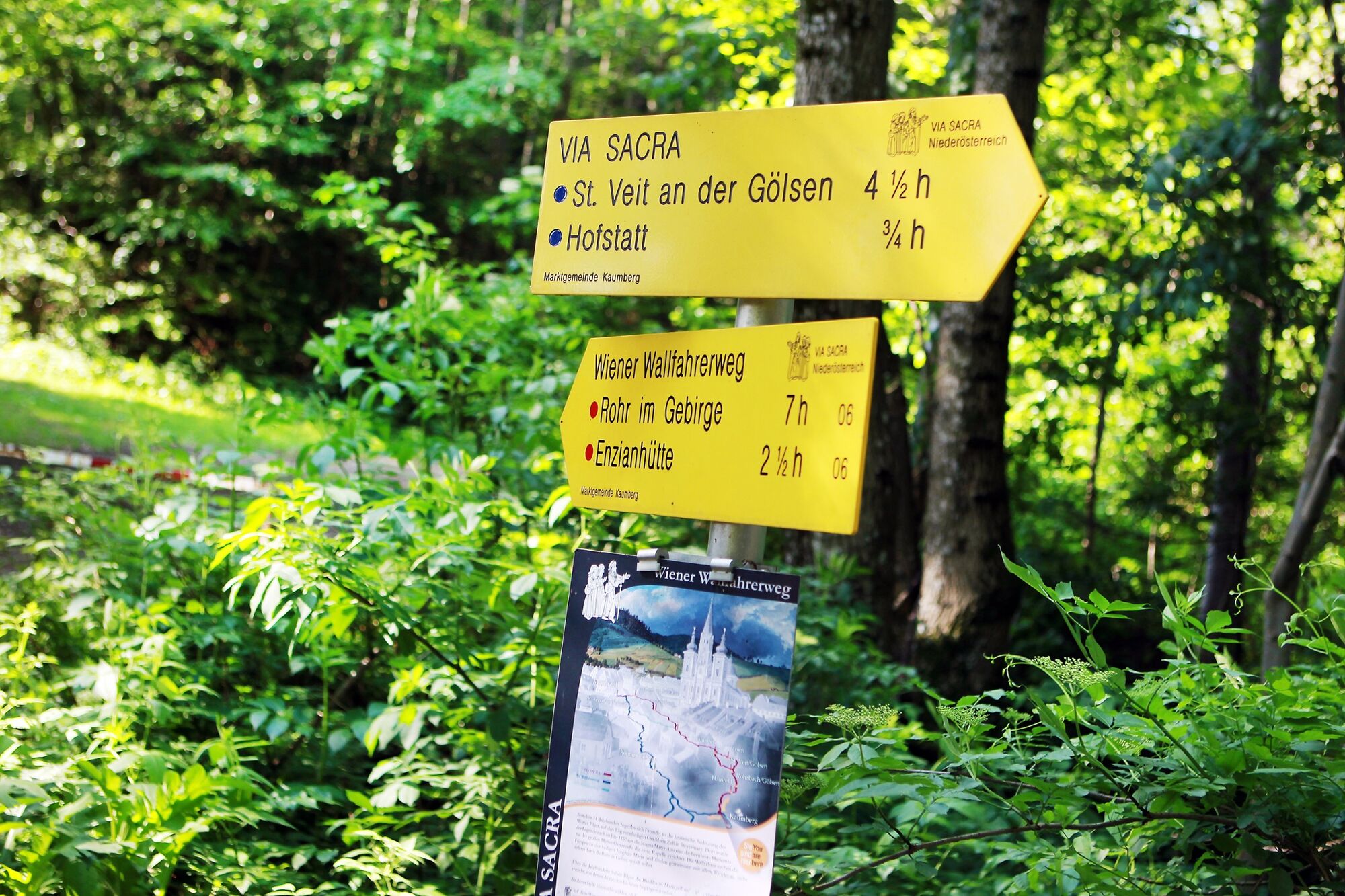
To provide an alternative to the street march on the Via Sacra, the, with the Number 6 marked, Viennese Wallfahrerweg resulted in 1975 through the Weitwanderer-Organisation of the Alpine-club. This route runs to Kaumberg at close range to the Via Sacra. Then the route continues through Untersberg - Rohr im Gebirge - Sankt Aegyd am Neuwald away from the historic Wallfahrerstraße with marked tourist paths and side roads. There are variants between Maria Raisenmarkt and the Unterberg of Weissenbach via Furth and Muggendorf. These routes touch scenic highlights and avoid the strenuous ascent between Araburg and Kieneck. The lower Austrian Wallfahrerweg connects between Türnitz and the Walster the Via Sacra pilgrimage with the Viennese Wallfahrerweg.
Physical demands:
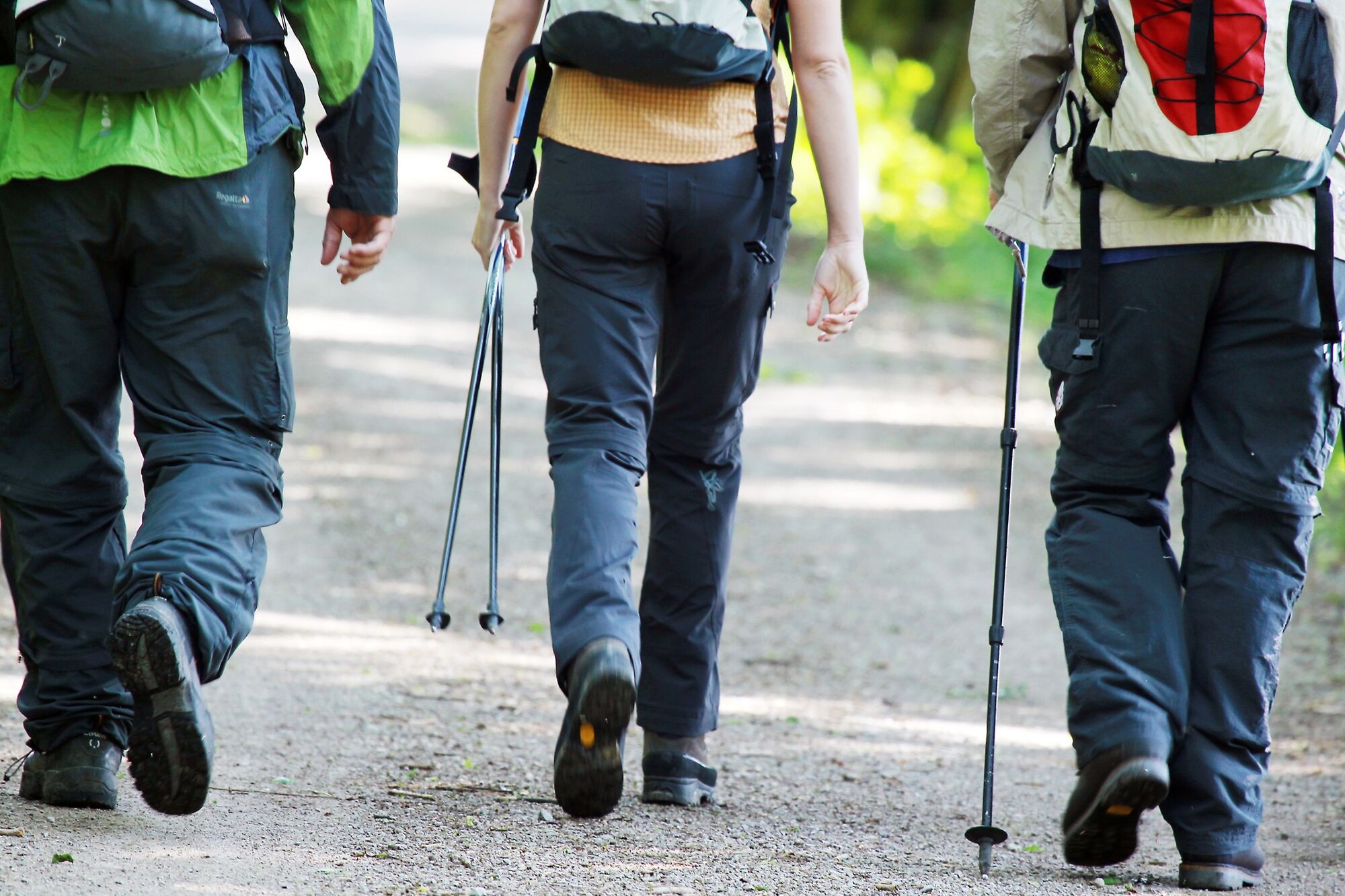
Easy walking paths in the Wienerwald, but more demanding tourist routes in the Voralpen of Kieneck and Unterberg. Many forest roads and side roads starting from Rohr im Gebirge. Duration of three to four days with athletic walking performances, daily output around 25 km.
- Directions
-
Viennese Wallfahrerweg: 1. Day stage from Perchtoldsdorf to Kaumberg
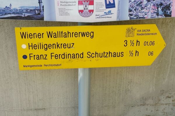
Perchtoldsdorf (from Pfarrkirche or Waldsanatorium) or Wien-Rodaun (Line 60) - Franz Ferdinand - Schutzhaus - Teufelsteiner-/Kammersteinerhütte - Wildegg - Sittendorf - Heiligenkreuz- Mayerling - Maria Raisenmarkt - (Peilstein Junction option) - Hafnerberg - Kleinmariazell - Kaumberg
The tour begins at the parish church in Perchtoldsdorf and leads with several refreshment stops through the nature park of Föhrenberge to Schloss (castle) Wildegg. From Wien-Rodaun (line 60) one can also take the route past the Waldsanatorium and the Perchtoldsdorfer Heath. Via Sittendorf und Füllenberg one reaches, lastly via Kalvarienberg, the Stift (abbey) Heiligenkreuz (4 hours).Via Mayerling and Maria Raisenmarkt is a junction reached at Holzschlag (junctions to the variant Peilstein - Furth, see 2. Day). From Nöstach the tour turns to the Wallfahrtskirche Hafnerberg (3 hours). Via Altenmarkt and Thenneberg (Kirche Dornau), the shortest valley route is accomplished along the Triesting to Kaumberg (2 ½ hours). The path takes longer from Hafnerberg past the former/newly rebuilt Stift (abbey) Kleinmariazell and the St. Coronastraße to Kaumberg (3 ½ hours). Overnight stay close by in the Talstrecke in Thenneberg or Kaumberg; Kleinmariazell possible as well, after which the 2nd stage is very long (the other possibilities in Nöstach require an additional day stage).
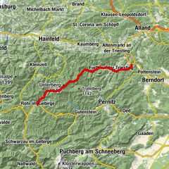
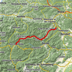
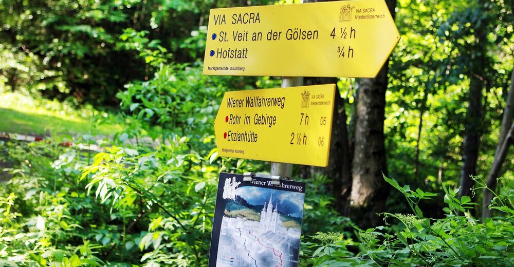
Viennese Wallfahrerweg: 2. Day stage from Kaumberg to Rohr/Gebirge respectively Kalte Kuchl as well as the Variant Weissenbach-Furth-Muggendorf Kaumberg - Araburg - Kieneck - Unterberg - Rohr/Gebirge - (Kalte Kuchl)
Variant: Weissenbach - Furth - Muggendorf – Unterberg
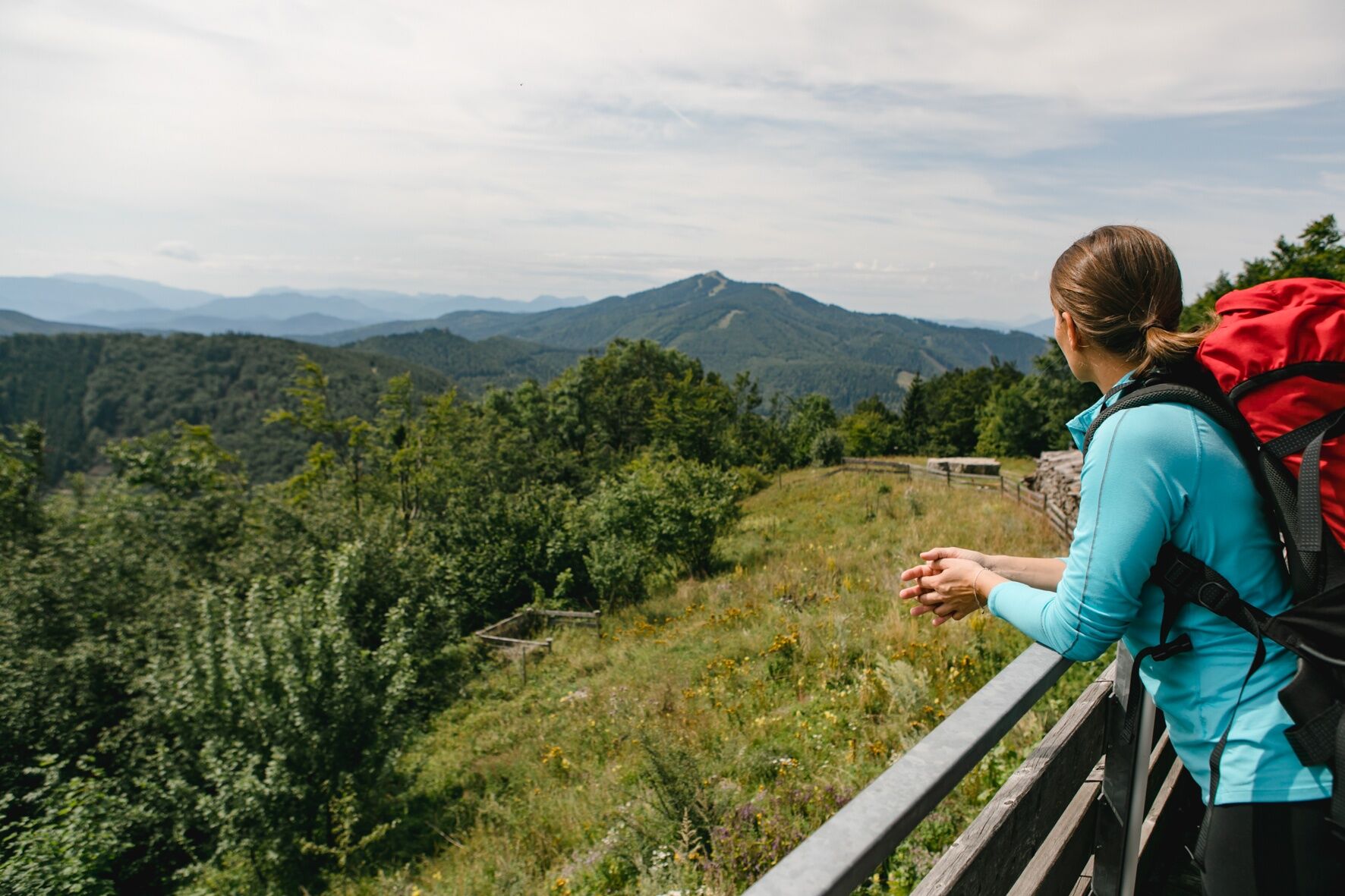
After the still comfortably achieved, Araburg (1 hour from Kaumberg, with hostel and possible overnight stay) the more difficult section of Viennesse Wallfahrerweg begins - a long ridge hike with a steep climb up to the Kieneck (since September 2009 with water supply) with the Enzianhütte (hut) (3 ½ hours) and the slightly easier transition to the Unterberghaus (2 hours). On the Unterberg, the pre-Alpine highlight of this tour is reached, because as off that point the path leads down into the valley to Rohr im Gebirge (2 hours).
Accommodation possibilities:
Inns in Rohr im Gebirge or in the following Alpengasthof (inn) Kalte Kuchl.Variant Peilstein - Furth (overnight stay in the Peilsteinhaus or in Weissenbach or Furth): From Maria Raisenmarkt to the Peilsteinhaus (3 hours from Heiligenkreuz), via Neuhaus to Weissenbach on the Triesting and to Furth/Schromenau (3 hours). Here further route junctions - direct route through the Further- and Staffgraben, steeply up to the Kieneck with the Enzianhütte (hut) (3 ½ hours) and onwards to the Unterberghaus (2 hours). More interesting and easier is the hike in the Steinwandgraben via Gasthof (inn) Jagasitz/Kreuth to Thal to the Gasthof (inn) Karnerwirt situated above the Myrafälle in Muggendorf to the Unterberghaus (6 hours).
Viennese Wallfahrerweg: 3. Day Stage from Rohr im Gebirge to St.Aegyd respectively Gscheid
Kalte Kuchl - Tiefental - Hochreit - St.Aegyd/Neuwald - (Gscheid)Simple paths lead forward from Rohr im Gebirge to Kalten Kuchl with the Alpengasthof (inn) Rieder and the "Via Sacra- and Holzknecht-Museum" (1 ½ hours). From there one reaches, with low altitude differences (but without refreshment possibilities) past Werasöd to the secluded grounds of the Greens and dry Schwarza. From Tiefental, the route goes through the Finstergundgraben to the first mountainous route of this stage, over a saddle past the Hochreit into the Traisental. After which, there are only forest roads and side roads all the way to St. Aegyd am Neuwald (4 hours). The Waldgraben (path) of the Unrecht Traisen leads, only right at the end steeply, to the Kernhofer Gscheid pass (2 ½ hours). Accommodation can be found in Sankt Aegyd or on the Gscheid pass (last accommodation chance before Mariazell). Once in St.Aegyd, one can reach the Gscheid pass directly through Kernhof. In Sankt Aegyd a circuit leads through the Weißenbachtal (valley) over the Luegg to Kernhof and back to St. Aegyd.
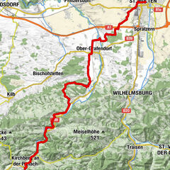
Viennese Wallfahrerweg: 4. Day Stage From St. Aegyd to Mariazell
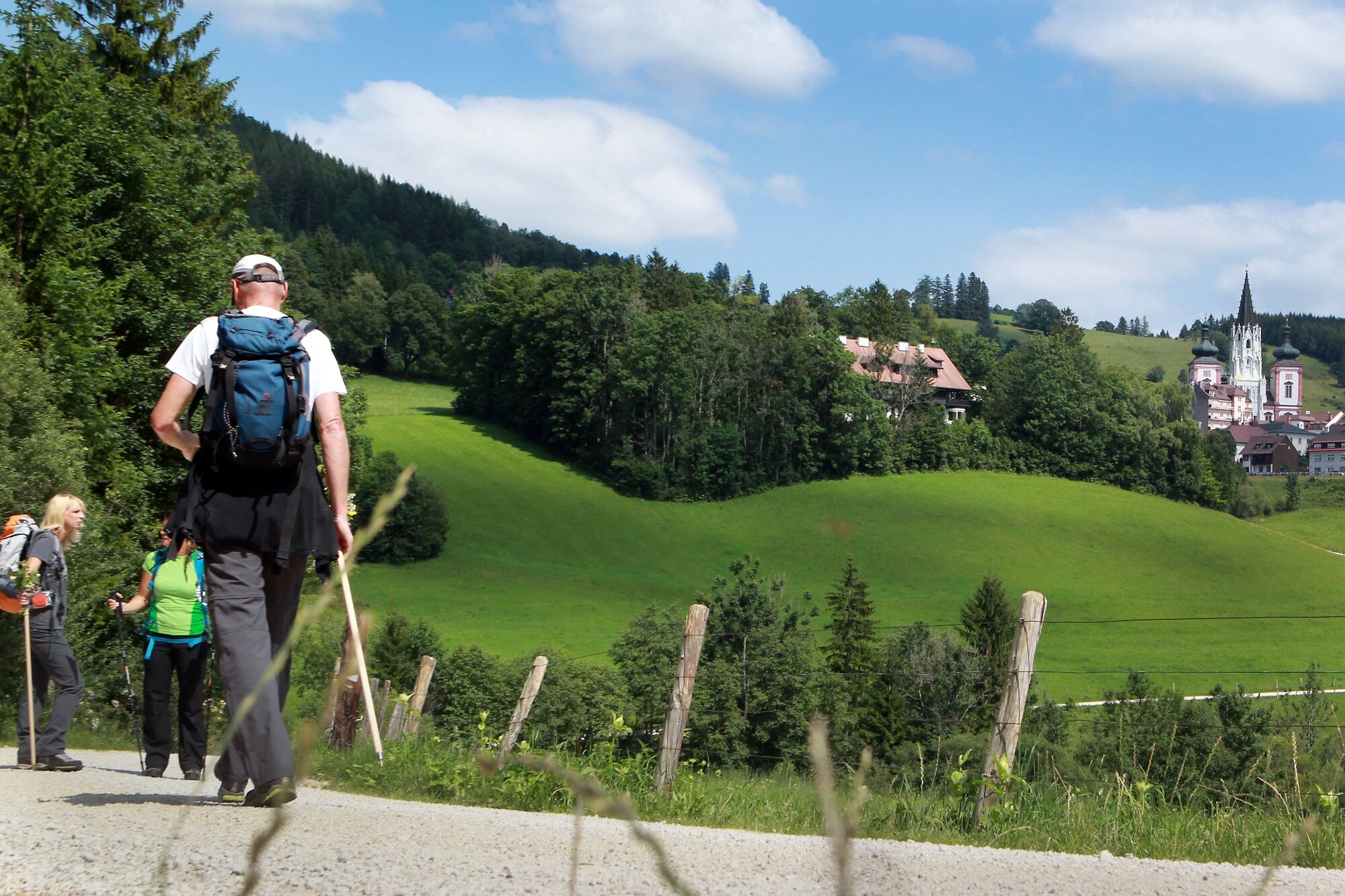
St.Aegyd/Neuwald - Gscheid - Walstern – MariazellAfter the Gscheid pass, one follows a road route, which runs along until it branches off onto forest roads and continues over the Krumbachsattel to finally reach the Walstertal (convergence of the Falkenschluchtweges of Türnitz). The route along the Hubertussee (lake) running presently on asphalt continues until the Bruder-Klaus-Kirche (2 ½ hours; with possibility of overnight stay in Fadental with connecting trail through the Schwarzwalster, an additional 1 ¼ hours). An option as well, is the road walk through the Rechengraben, which in spite of car transport is often chosen (2 ½ hours). Hence, the transition from the Walsertal (half an hour after the Klaus-Kirche branching off) is a better choice on the only moderately strenuous Habertheuersattel (mountain ridge) to the Sebastianiweg, and on which one continues to the Mariazeller Gnadenkirche (church) (2 ¾ hours).
- Highest point
- 1,181 m
- Endpoint
-
Mariazell
- Height profile
-

- Tips
-
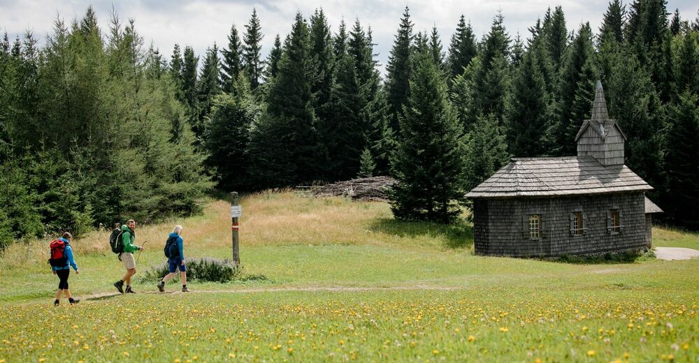
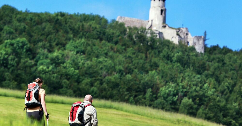
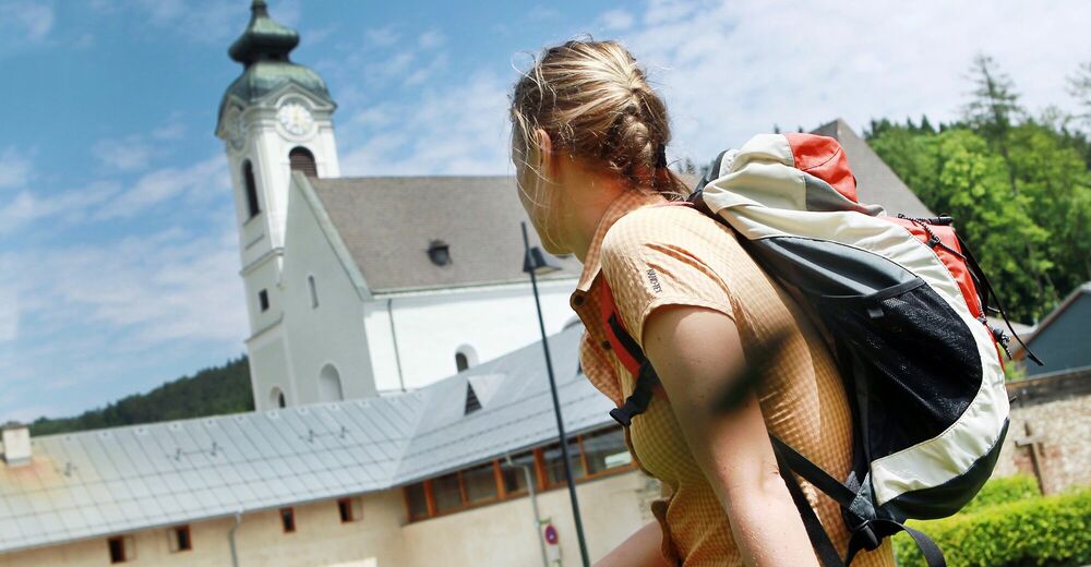
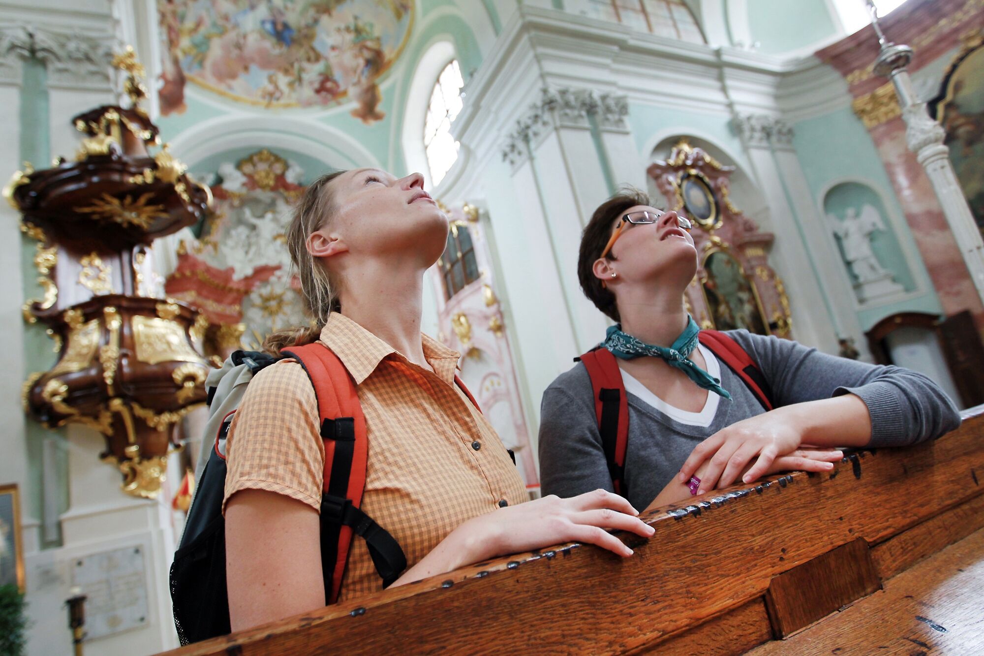
Church in Sittendorf, Zisterzienserstift Heiligenkreuz, Wallfahrtskirche Hafnerberg, Basilika Kleinmariazell, Pfarrkirche (parish church) Neuhaus, Pfarrkirche (parish church) Weissenbach, Triestingtaler Heimatmuseum, Steinwandklamm mit Türkenloch, Myrafälle, Kapelle (chapel) am Unterberg, Via Sacra-Kapelle (chapel) Kalte Kuchl., Via Sacra- und Holzknechtmuseum auf der Kalten Kuchl, in Jugendstil-design built Evangelische Waldkirche (church) in St. Aegyd , Bruder Klaus-Kapelle in the Walster (river), Arthur Krupp-Denkmäler-Weg, Kreuzberg „Luckertes Kreuz“ (kultischer Durchgangsbrauch), Basilika in Mariazell


- Author
-
The tour Wiener Wallfahrerweg is used by outdooractive.com provided.


General info
-
Wienerwald
4200
-
Elsbeere-Wienerwald
1216
-
Kleinzell
377