© ZWalk.at
© ZWalk.at
© ZWalk.at
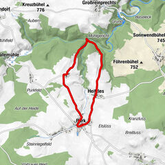
Tour data
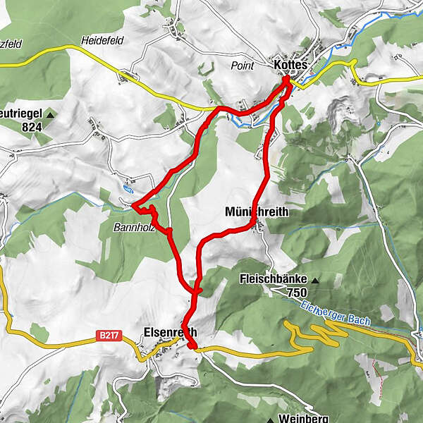
9.42km
683
- 818m
190hm
174hm
02:30h
- Brief description
-
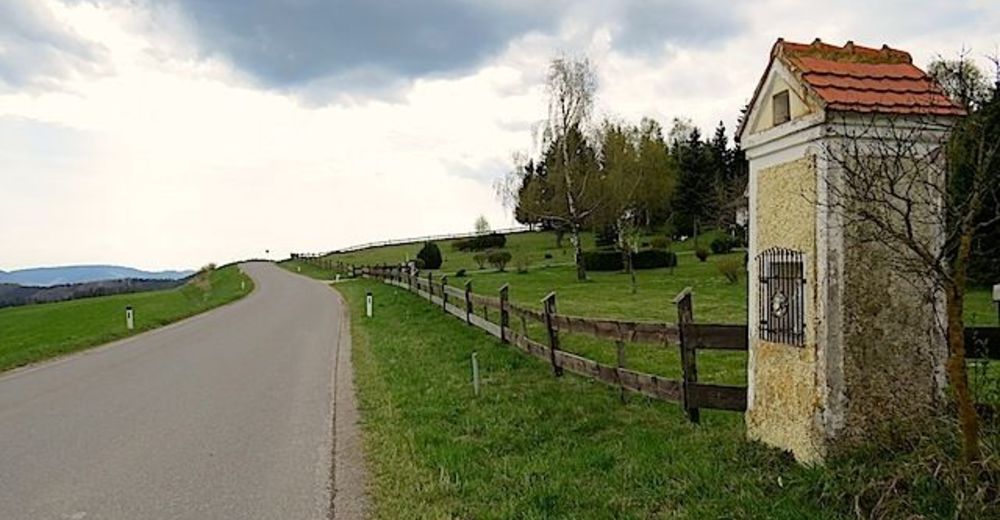
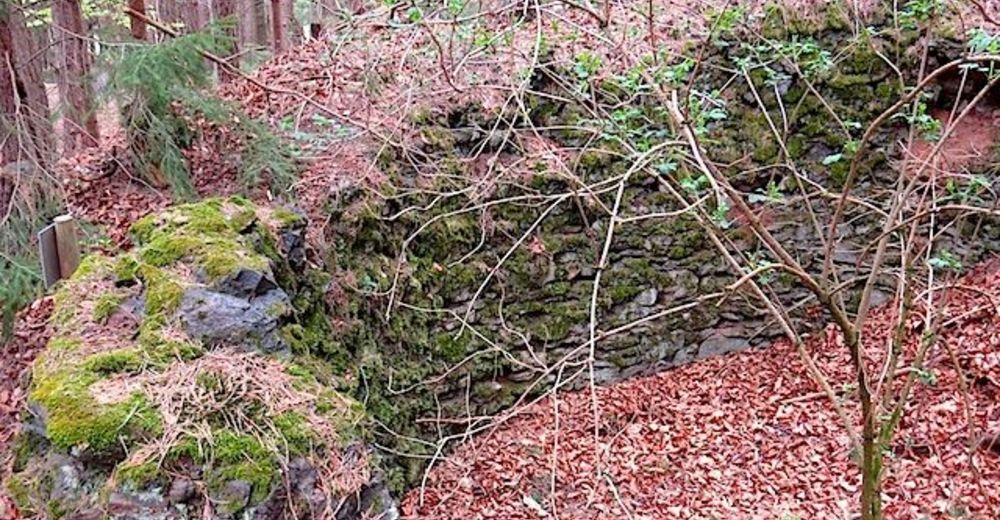
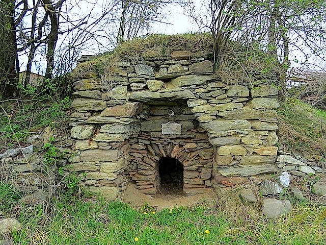
Die Tour führt durch eine typische, leicht hügelige Waldviertler Landschaft. Es geht durch Felder, Wiesen und Wälder, die sich ständig abwechseln.
- Difficulty
-
easy
- Rating
-
- Starting point
-
Kottes
- Route
-
KottesMünichreith1.7 kmEdelbühel (819 m)3.2 kmElsenreith4.0 kmKottes9.3 km
- Highest point
- 818 m
- Source
- ZWalk
GPS Downloads


Other tours in the regions