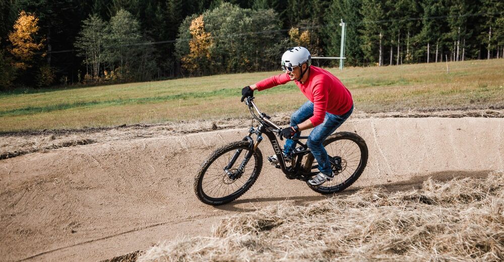
© Fred Lindmoser
- Brief description
-
Schöner Anstieg mit Jause und Ausblick am Ziel. Lohnenswert!
- Difficulty
-
medium
- Rating
-
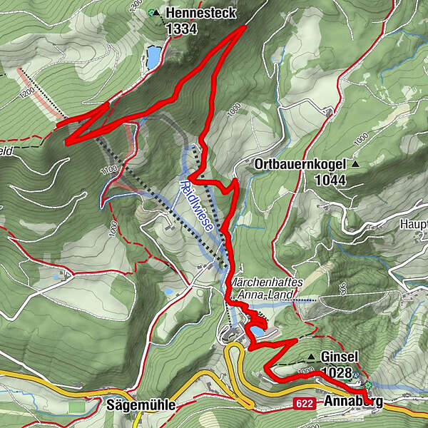
- Route
-
St. Anna0.0 kmAnnaberg0.1 kmSesselbahn Hennesteck6.0 kmAlmboden6.0 kmAnna-Alm6.1 kmZipline Hennesteck6.2 kmAnnaberg12.1 kmSt. Anna12.2 kmAnnaberg (976 m)12.2 km
- Best season
-
JanFebMarAprMayJunJulAugSepOctNovDec
- Highest point
- 1,291 m
- Endpoint
-
Anna-Alm
- Height profile
-

- Author
-
The tour Anna-Alm-Strecke is used by outdooractive.com provided.
GPS Downloads


General info
Refreshment stop
A lot of view
Other tours in the regions
-
Mostviertel
151
-
Mariazellerland
81
-
Annaberg
28