© Wienerwald Tourismus GmbH / Christoph Kerschbaum
- Brief description
-
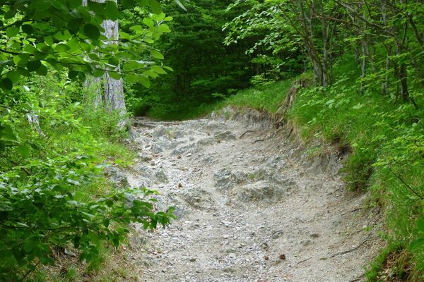
Ein leichter Trail bergauf zu einem tollen Aussichtspunkt.
- Difficulty
-
easy
- Rating
-
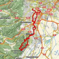
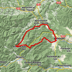
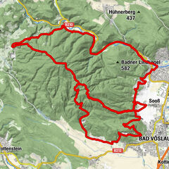
- Route
-
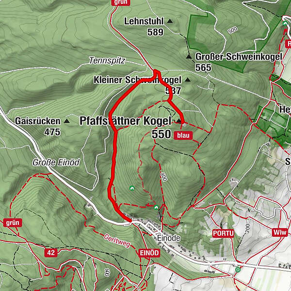
BadenBuschenschank SchalkoFranzosenhöhle0.0 kmWaldkindergruppe Wichtelkreis0.2 kmTännspitz1.6 kmRudolf-Proksch-Hütte2.0 kmPfaffstättner Kogel (550 m)2.2 km
- Best season
-
JanFebMarAprMayJunJulAugSepOctNovDec
- Highest point
- 536 m
- Endpoint
-
Rudolfs Proksch Hütte
- Height profile
-


- Author
-
The tour Pfaffstättner Route is used by outdooractive.com provided.
GPS Downloads


General info
Refreshment stop
Other tours in the regions
-
Wienerwald
291
-
Wien und Umgebung
206
-
Baden bei Wien
96