© (C) Wolfgang Wutzl - Wolfgang Wutzl
- Brief description
-
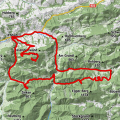
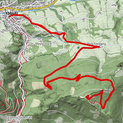
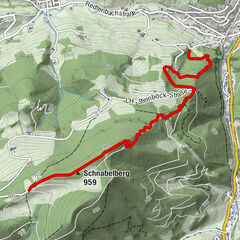
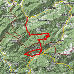
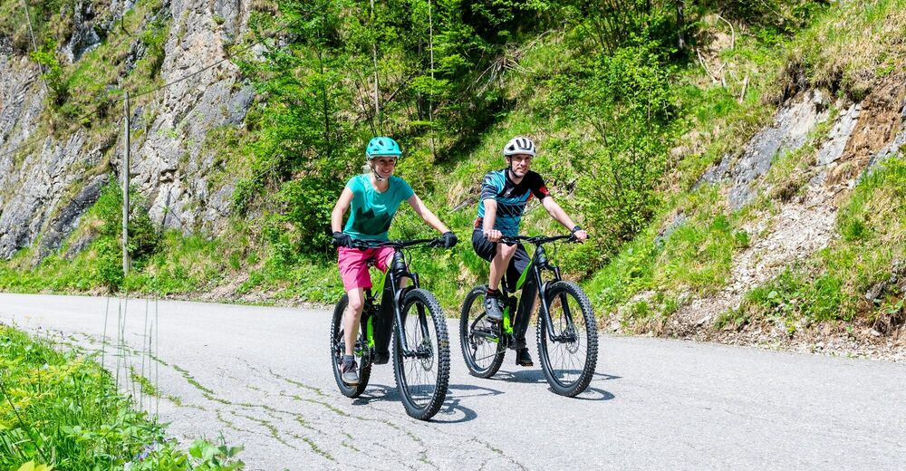
Schöne Tour ins Naturschutzgebiet Leckermoor mit köstlicher Einkehrmöglichkeit.
- Difficulty
-
medium
- Rating
-
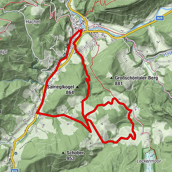
- Route
-
Göstling an der Ybbs0.0 kmStanglwirt10.9 kmGöstling an der Ybbs13.2 km
- Best season
-
JanFebMarAprMayJunJulAugSepOctNovDec
- Highest point
- 834 m
- Height profile
-


- Author
-
The tour Hochreit-Strecke is used by outdooractive.com provided.
GPS Downloads


General info
Refreshment stop
Insider tip
Fauna
A lot of view
Other tours in the regions
-
Mostviertel
151
-
Hochschwab
84
-
Göstling an der Ybbs
21