Kremstal-Danube Long Distance Trail 10: Lengenfeld – Stratzing


- Brief description
-
A little bit of everything: The Lengenfeld - Stratzing stage offers pure variety with cultural, scenic and sporting features.
- Difficulty
-
easy
- Rating
-
- Starting point
-
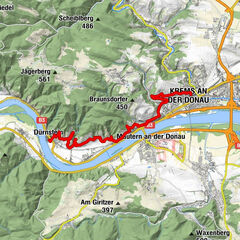
Lengenfeld, Fire station
- Route
-
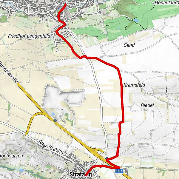
Kath. Pfarrkirche hl. Pankratius0.1 kmStratzing3.8 km
- Best season
-
JanFebMarAprMayJunJulAugSepOctNovDec
- Description
-
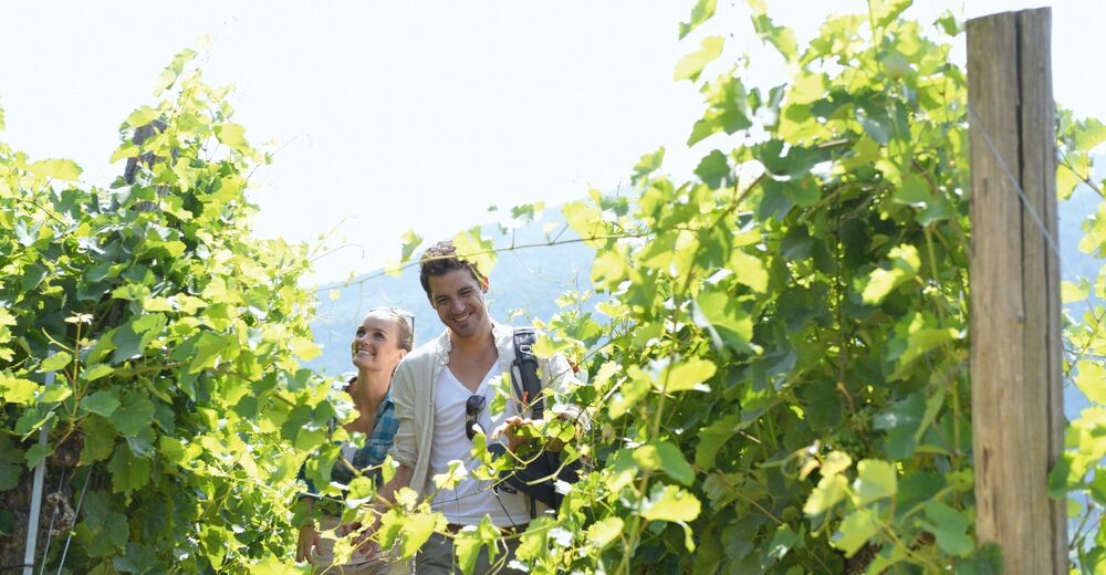
The hike from Lengenfeld to Stratzing is full of variety. Cultural and historical facets are already evident at the starting point in the centre of Lengenfeld: The 15th-century Biri Gate, the 16th-century Lengenfeld Castle and the magnificent parish church with Gothic elements. Passing the natural vineyards of Sand, Kremsfeld, Satzen and Loiserweg, the route then leads to the Stratzinger Kellergasse. Along this path, the route finally ends in the centre of Stratzing, where wine taverns invite you to a cosy end to the hike. However, the tour does not have to end at this point. For all hiking enthusiasts, there are also local routes as an extension of the stage. Especially for the Eiszeitweg (Ice Age Trail), it is worth extending the tour - including interesting facts about past times and cultures.
- Directions
-
A short stage awaits us here. Starting from the centre of the village, we cross the Lengenfelder Bach stream and walk up to the parish church of St. Pancras (originally a fortified Romanesque church) and on to Kremser Straße. Stay on this road for 100 m in a southerly direction and then branch off into Blauensteinstraße. After approx. 150 m, turn left up Weidengasse through the new settlement area. At the top, at the wayside shrine, we cross the main road towards Kittmannsberg. From now on, we constantly hike through vineyards and the Sand, Kremsfeld, Riedl, Satzen and Loiserweg vineyards.
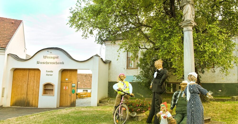
The following subway of the B37 helps us to cross it safely. Via the Stratzinger Kellergasse, we reach the municipal office in the centre of the village. As with many places along our route, there is also the option of stopping off at a wine tavern.
TIP: Those who have the time and inclination can also explore the local hiking trails here, such as the Eiszeitweg.
- Highest point
- 369 m
- Endpoint
-
Stratzing, Municipal office
- Height profile
-

- Equipment
-
Sturdy hiking shoes, rain protection, sufficient food and drink, as well as a hiking map Kremstal-Donau and possibly a wine tavern calendar.
- Safety instructions
-
Please note the following tips and advice to ensure that your hiking holiday is a beautiful experience:
Stay on the marked trails and wear mountain/hiking boots. Please do not leave your rubbish along the path. Carry enough food (water/snacks) with you. Take the hiking map with you or use the free hiking app. Respect the sensitive habitats of flora and fauna. - Tips
-
Those who have the time and inclination can also explore the local hiking trails here, such as the Eiszeitweg.
- Additional information
- Directions
-
From Vienna: via A22 and S5, B 37 to Lengenfeld
From the west: A1 and S33, B37 to Lengenfeld
- Public transportation
- Parking
-
Lengenfeld, at the sports field


- Author
-
The tour Kremstal-Danube Long Distance Trail 10: Lengenfeld – Stratzing is used by outdooractive.com provided.


General info
-
Donau Niederösterreich
2289
-
Kamptal - Manhartsberg
1158
-
Stratzing
641