Haute Route 6. Etappe: Gscheid – Mitterbach – Vorderötscher

long-distance walking trail

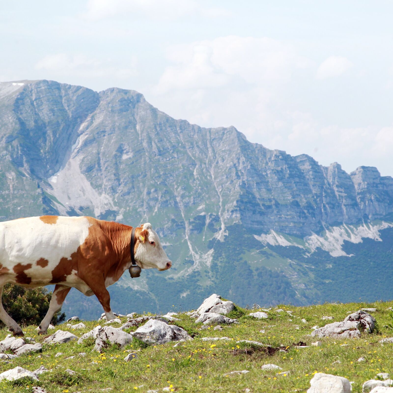
© weinfranz.at

- Difficulty
-
difficult
- Rating
-
- Route
-
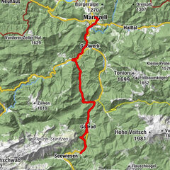
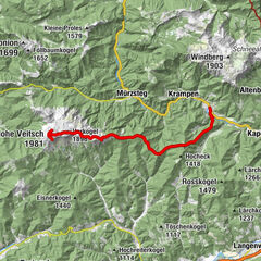
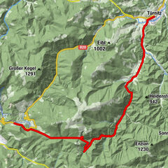
GscheidKrummbachsattel (951 m)2.9 kmZur Wuchtl-Wirtin7.0 kmWalstern8.0 kmBruder-Klaus-Kirche9.1 kmMitterbach-Seerotte16.2 kmSchutzhaus Vorderötscher26.6 km
- Highest point
- 1,025 m
- Endpoint
-
Schutzhaus Vorderötscher
- Height profile
-

- Author
-
The tour Haute Route 6. Etappe: Gscheid – Mitterbach – Vorderötscher is used by outdooractive.com provided.
GPS Downloads


Other tours in the regions
-
Mostviertel
2471
-
Mariazellerland
1506
-
St. Sebastian
380