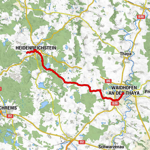
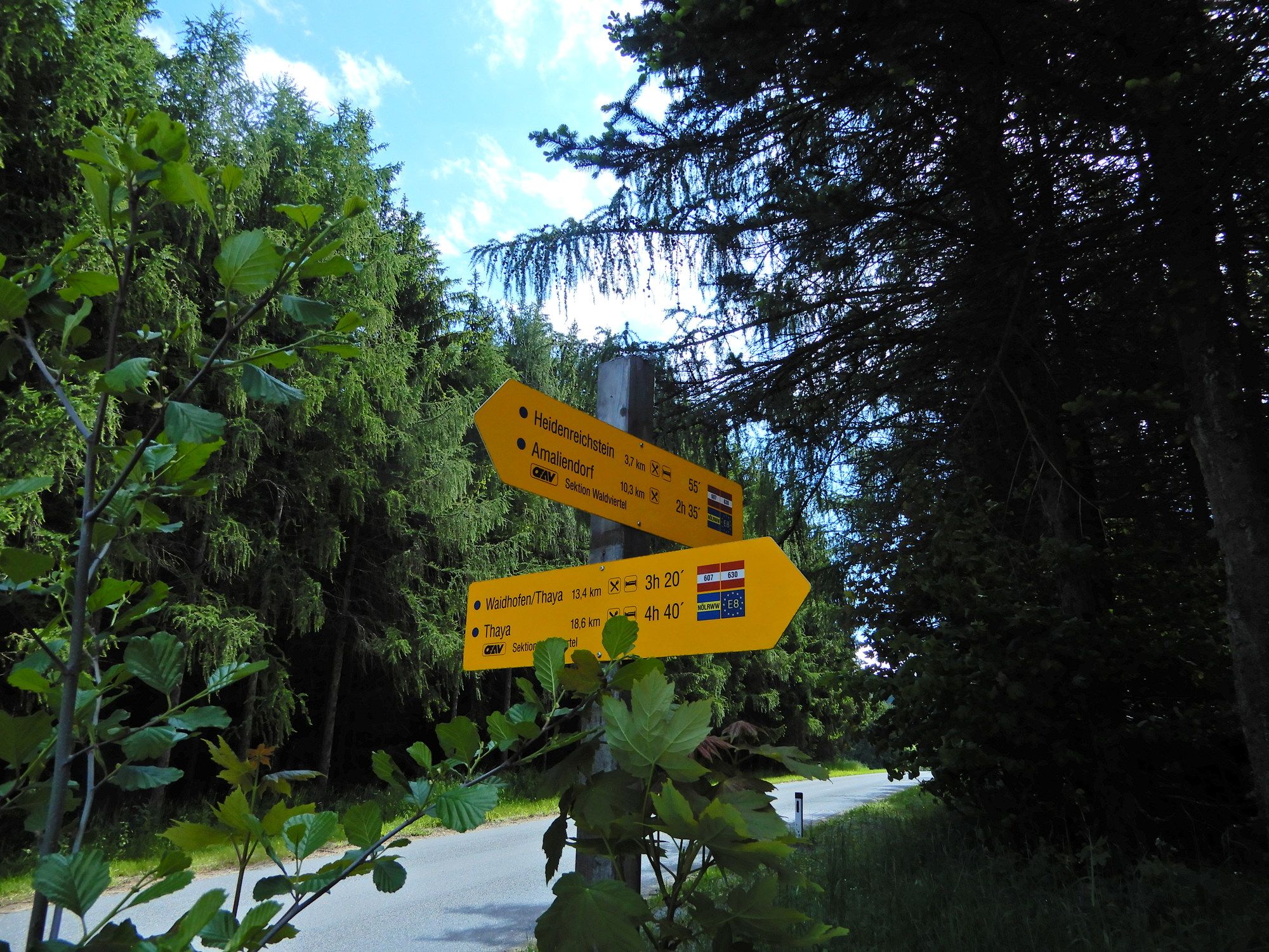
07 Grenzlandweg, 04. Etappe: Heidenreichstein - Waidhofen a. d. Thaya

long-distance walking trail

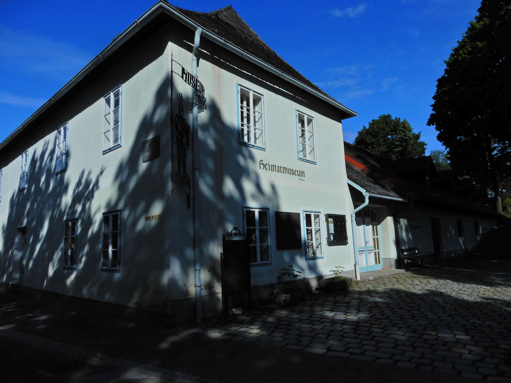
© gert gasperin

© gert gasperin

© gert gasperin

© gert gasperin

© gert gasperin

© gert gasperin

© gert gasperin

© gert gasperin

© gert gasperin

© gert gasperin
Tour data
18.4km
497
- 624m
150hm
173hm
04:30h
- Brief description
-
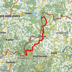
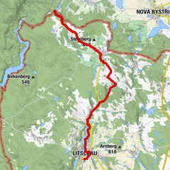
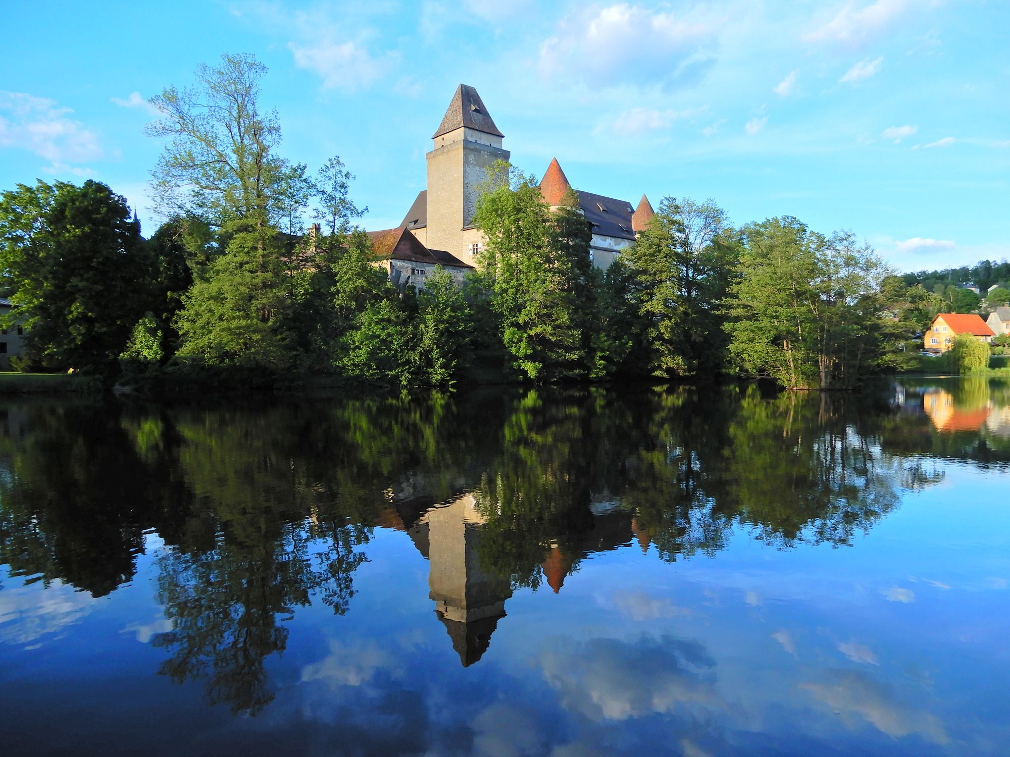
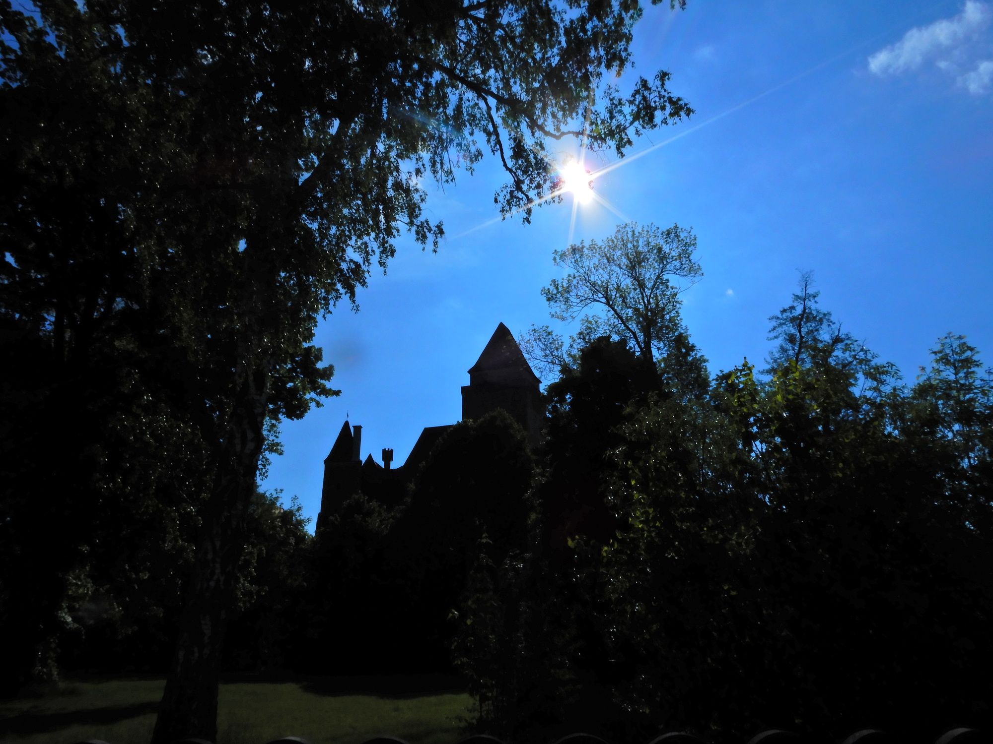
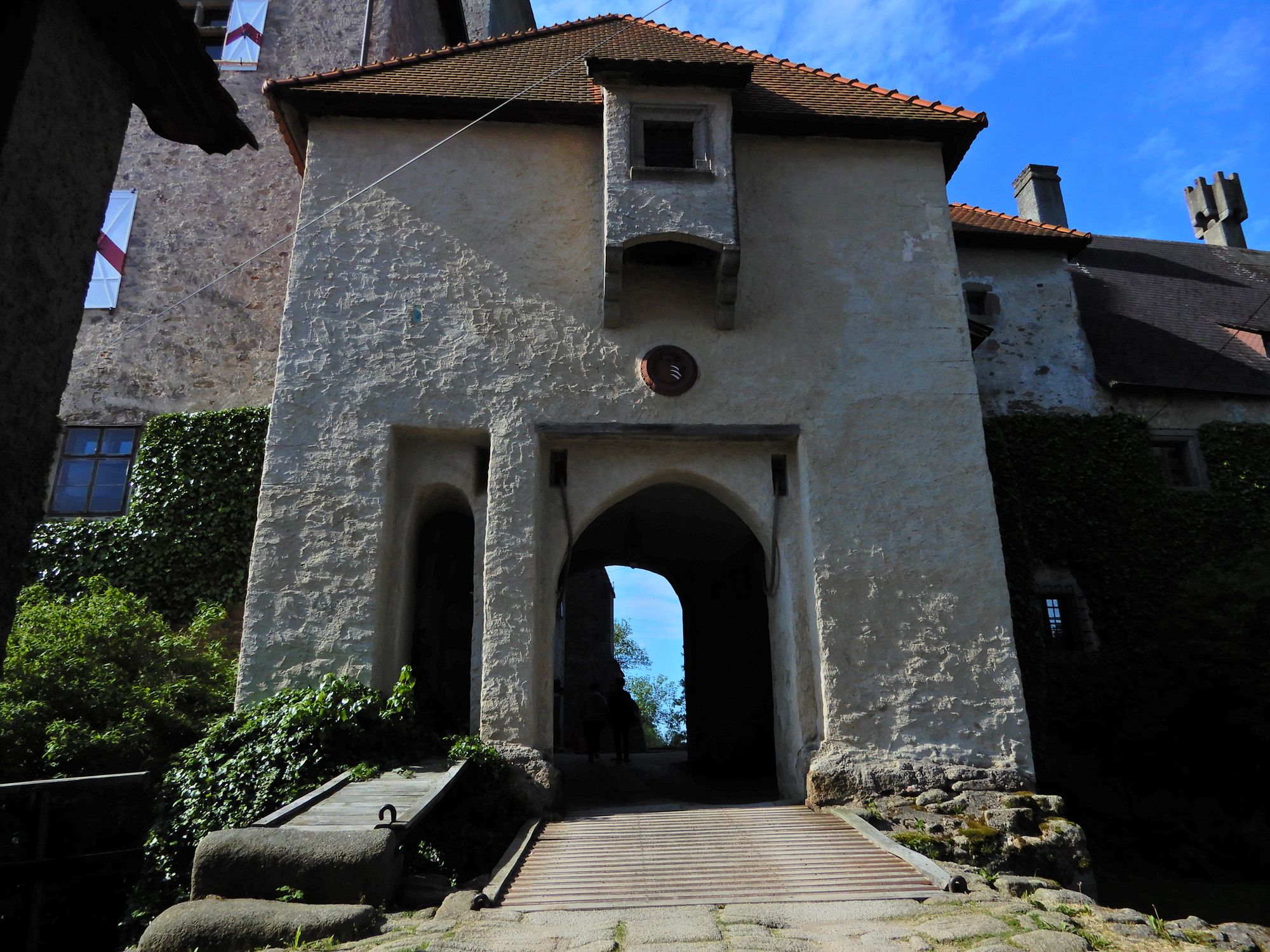
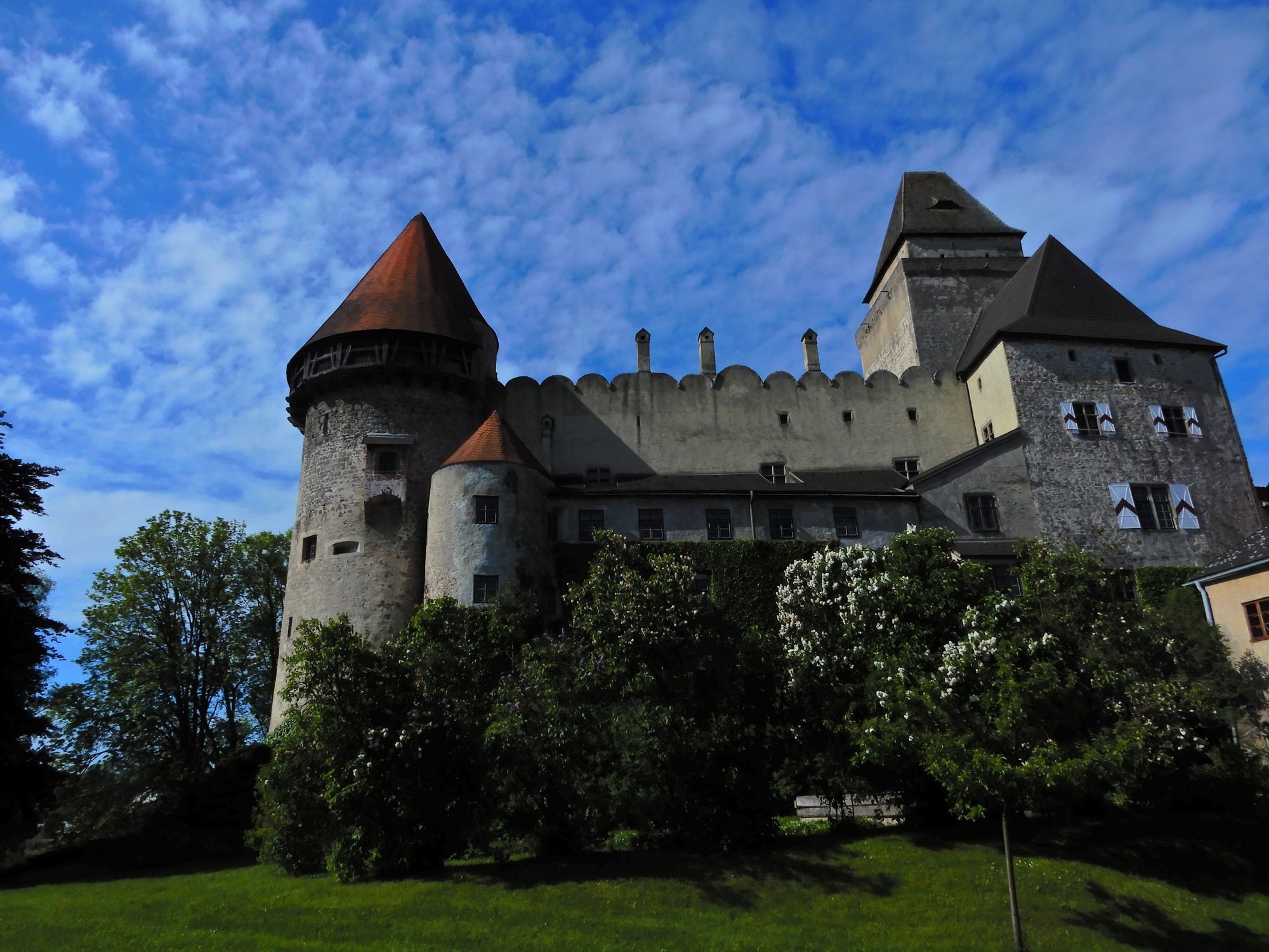
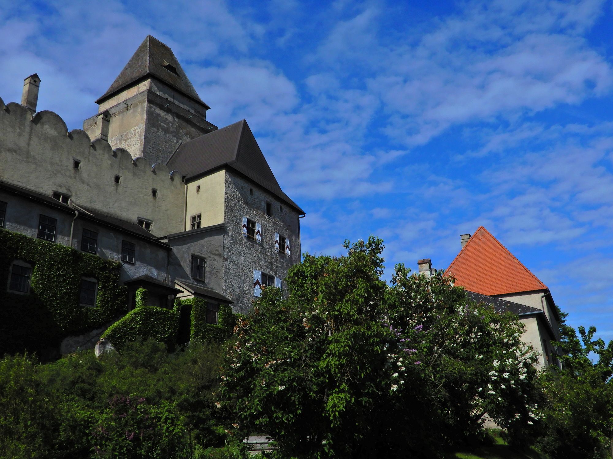
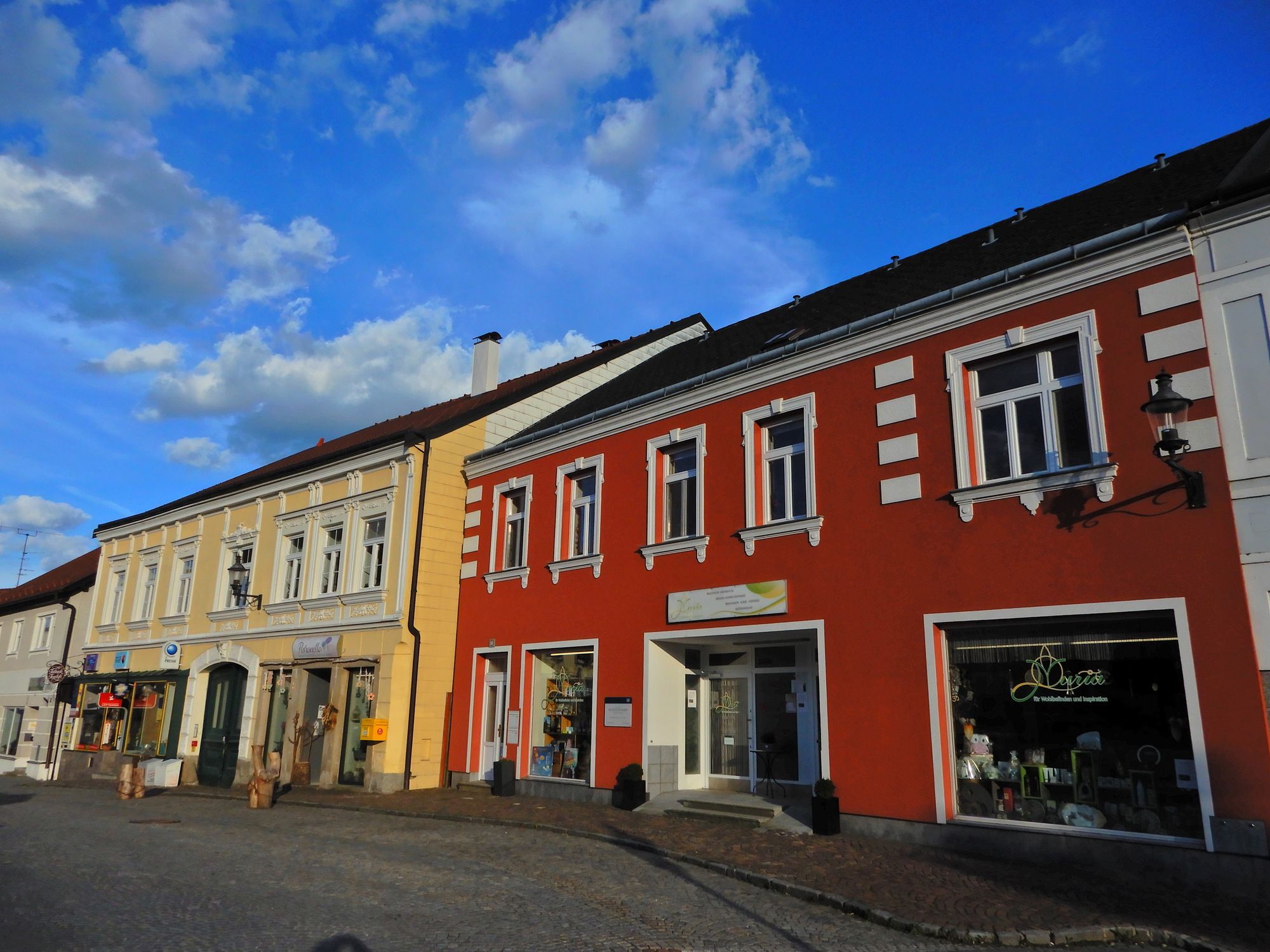
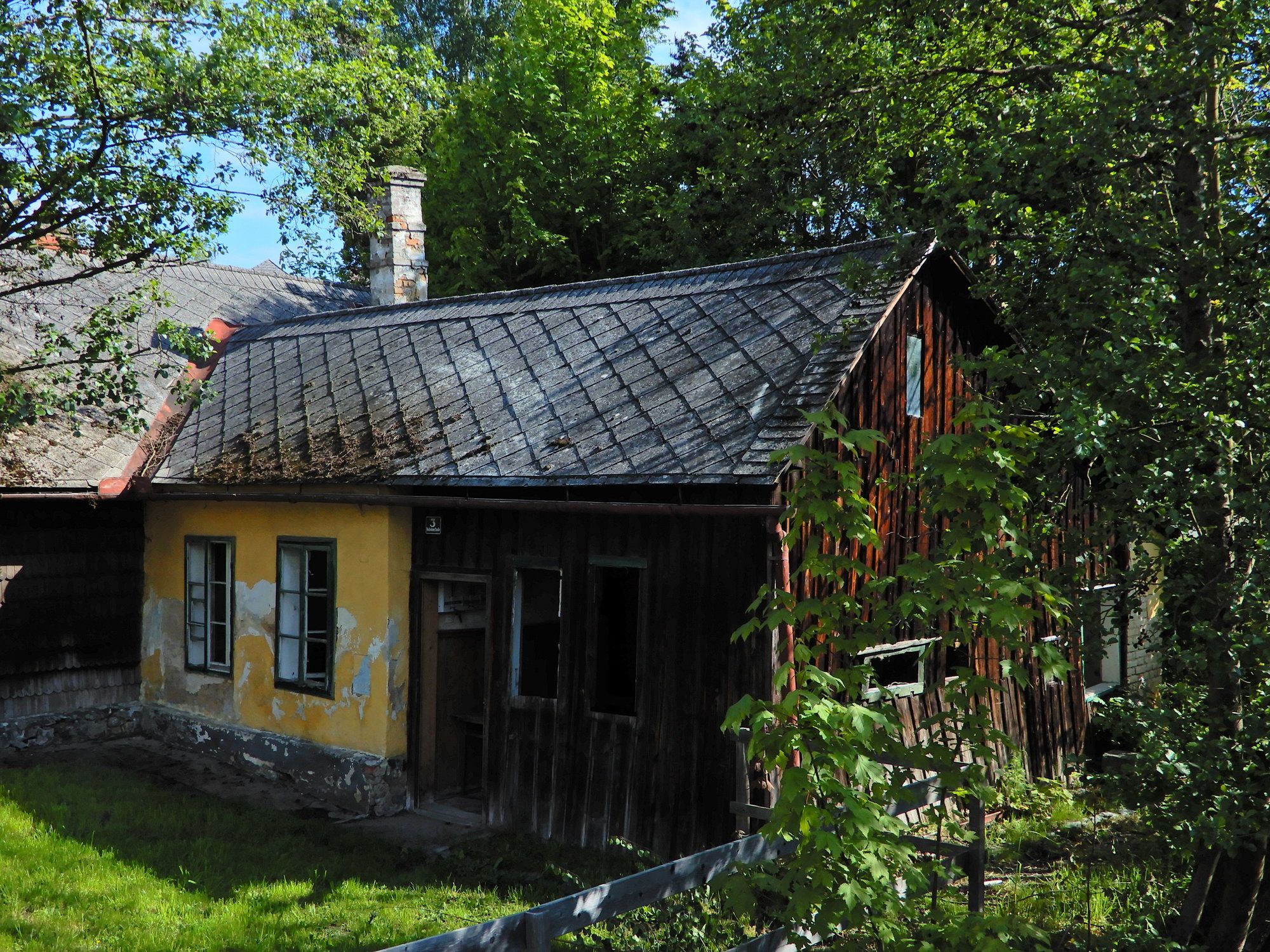
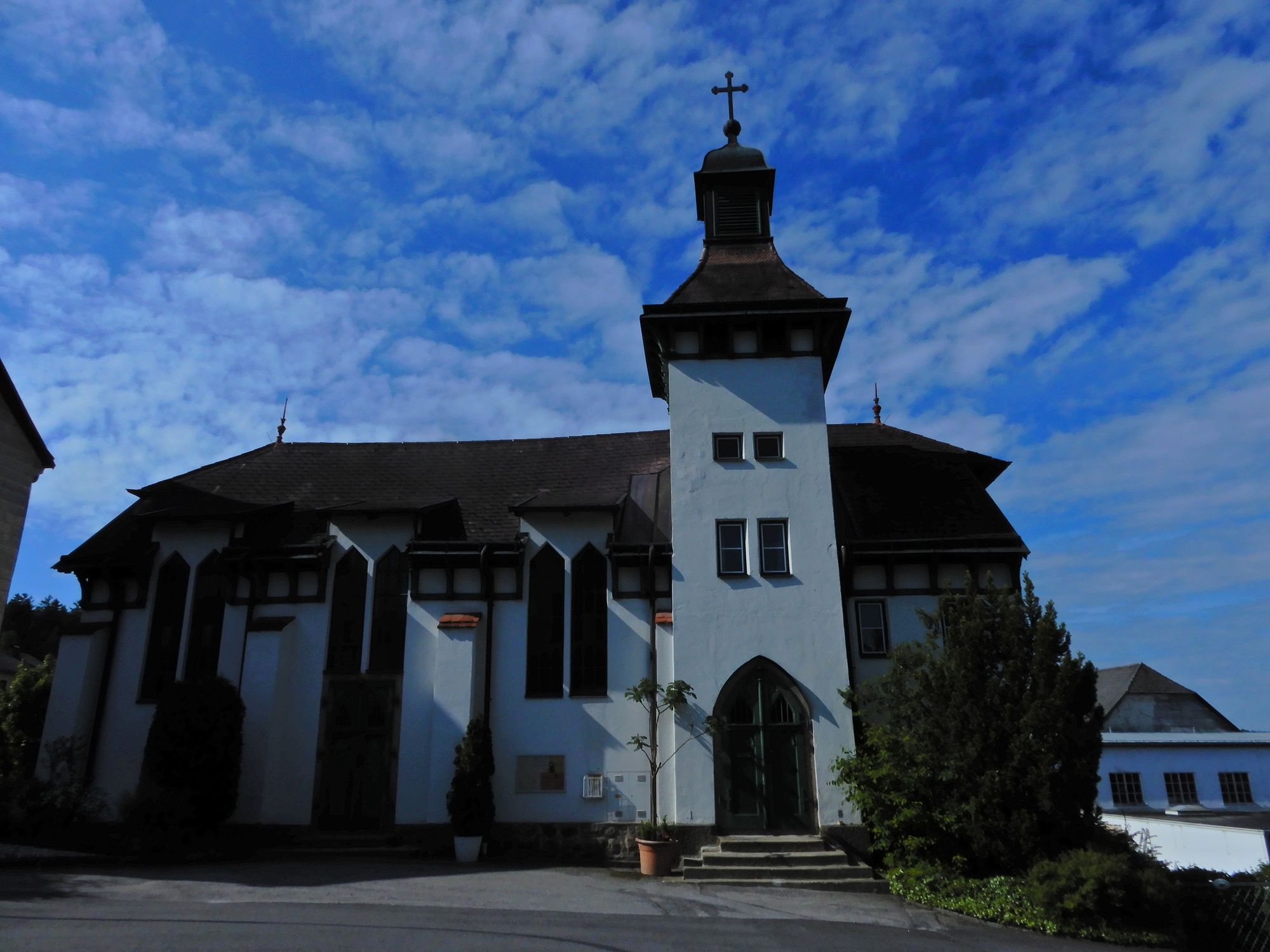
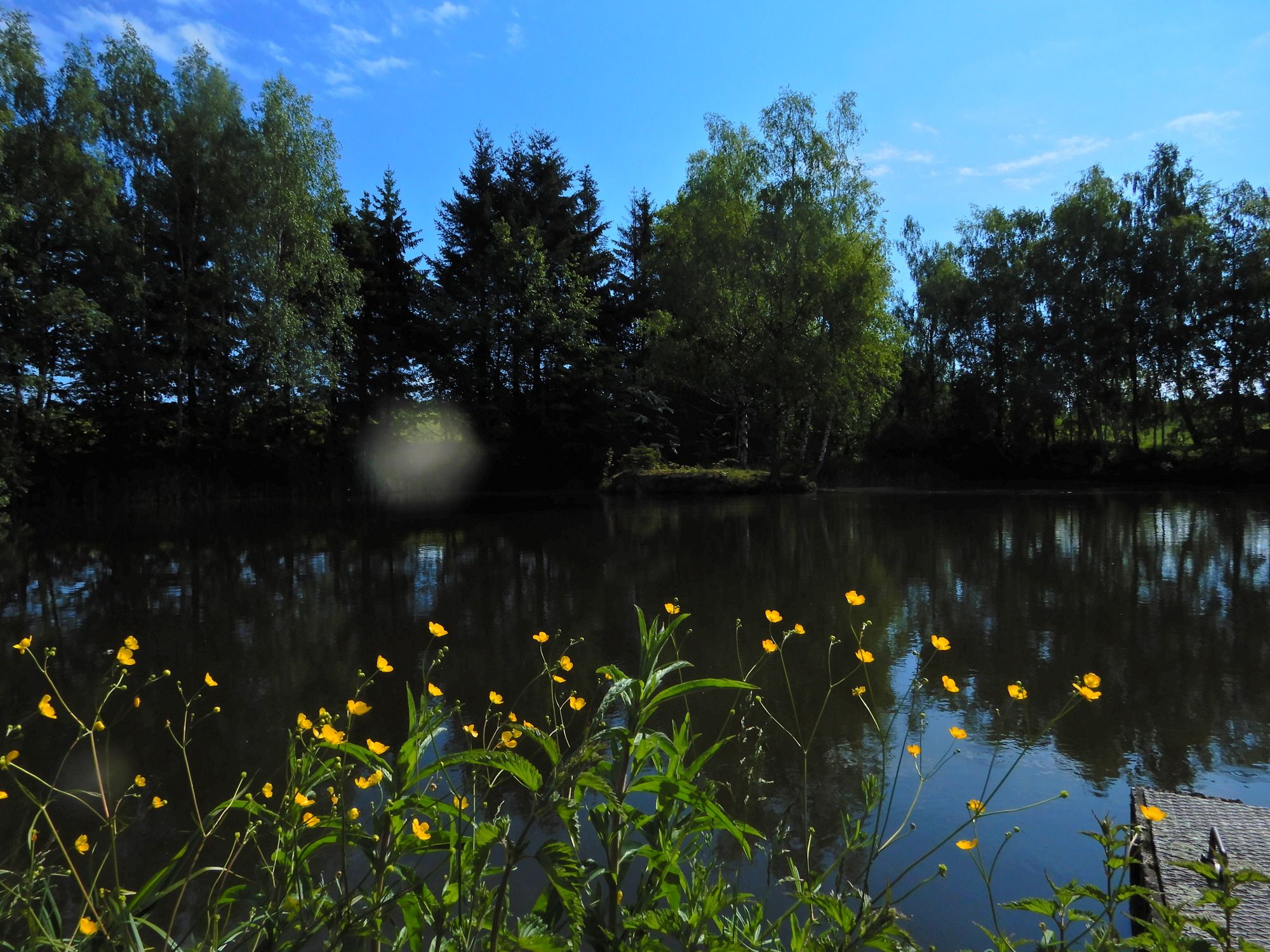
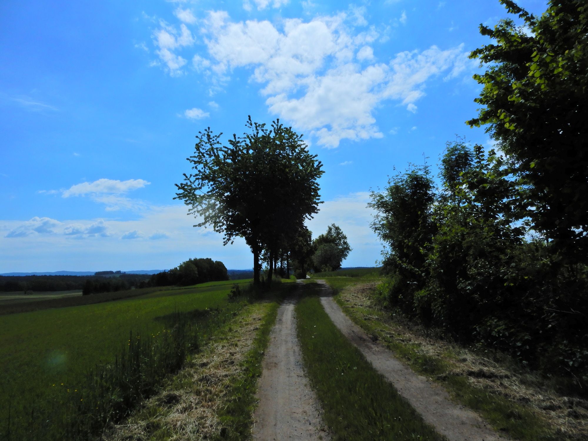
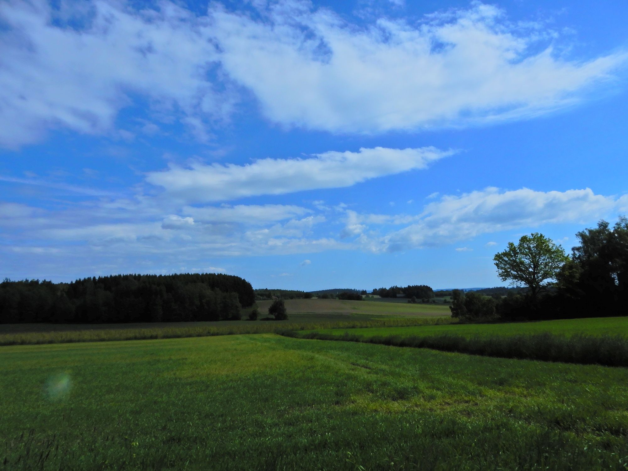
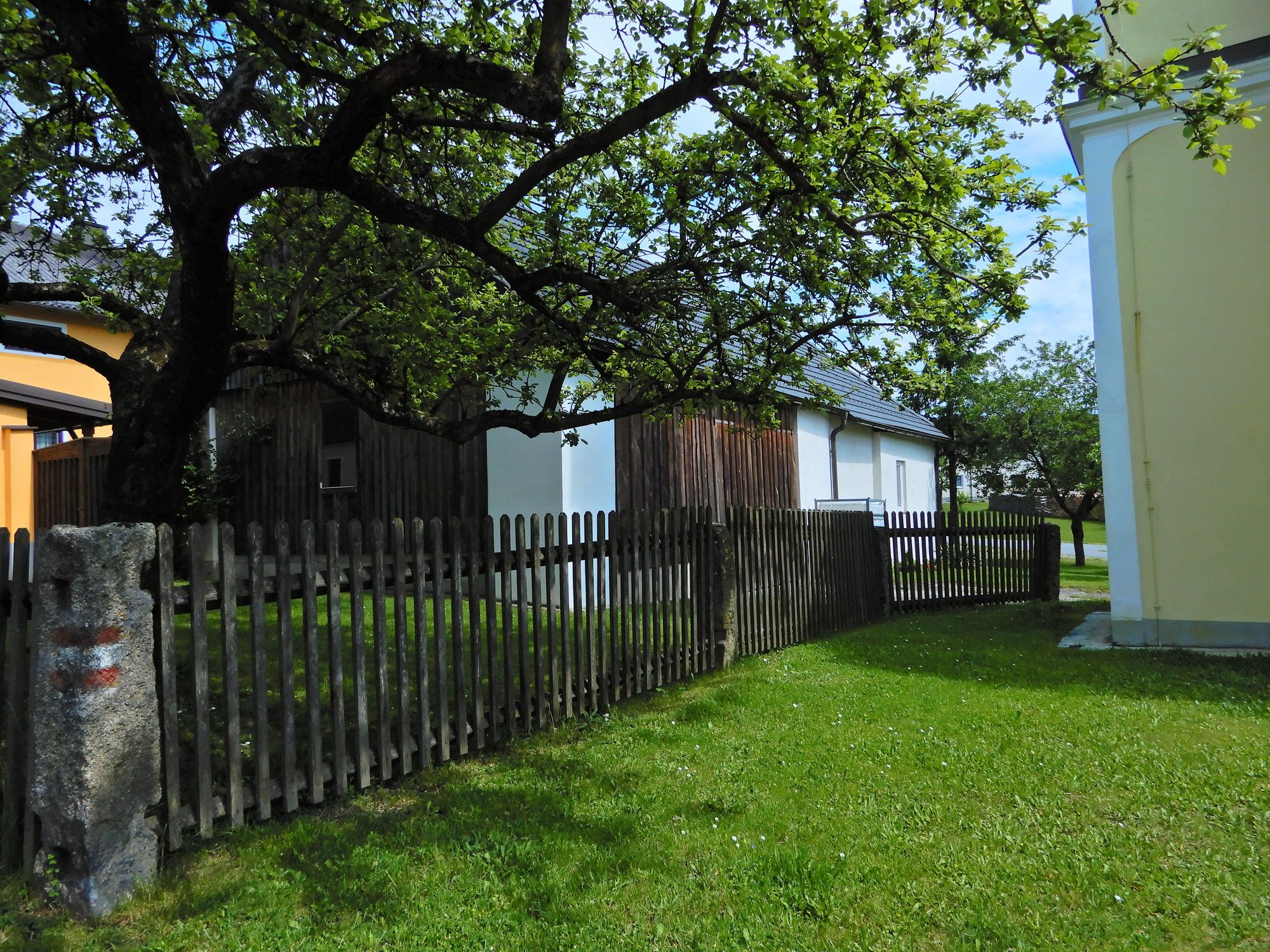
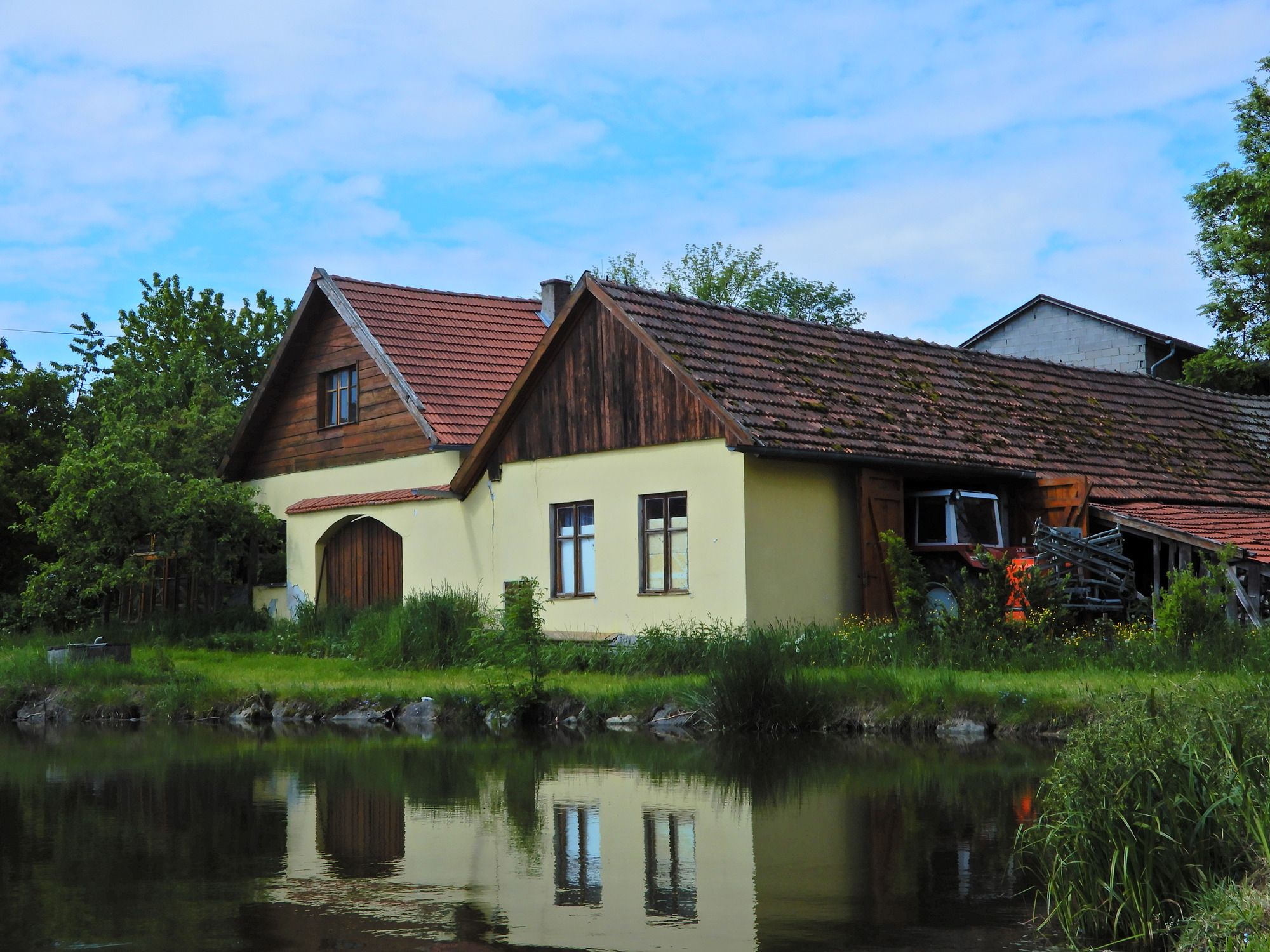
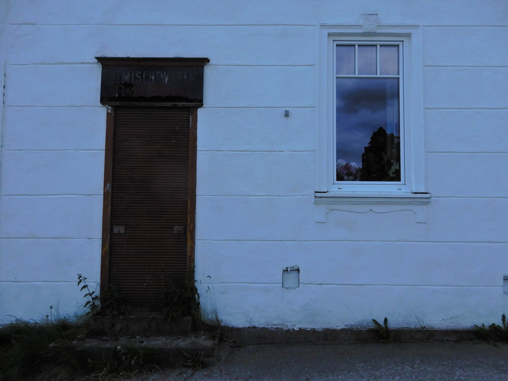
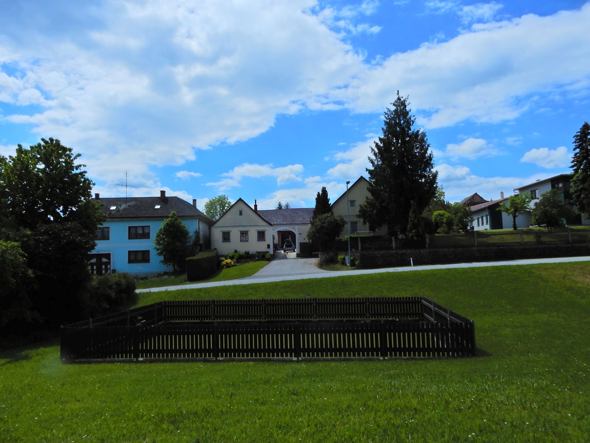
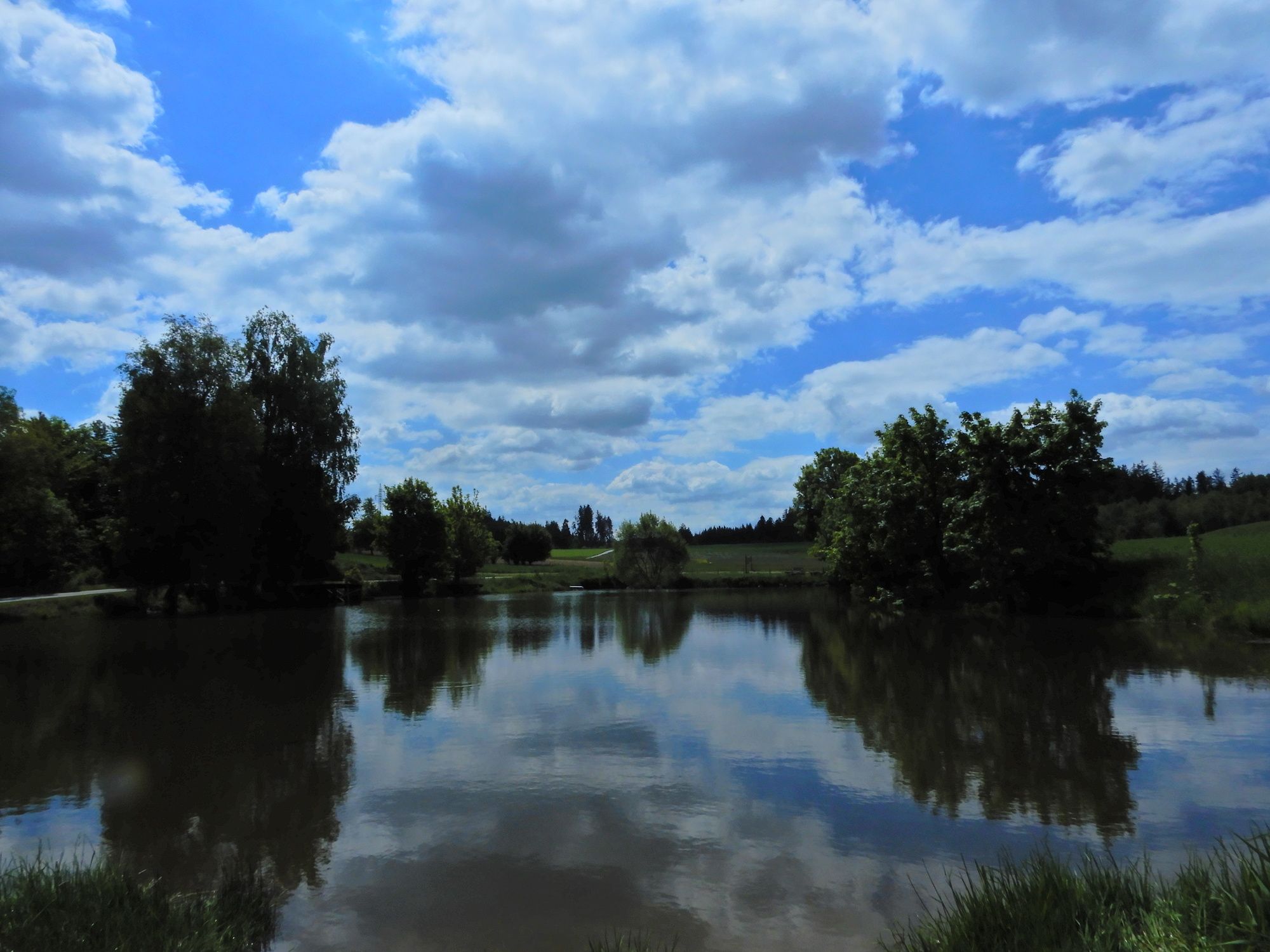
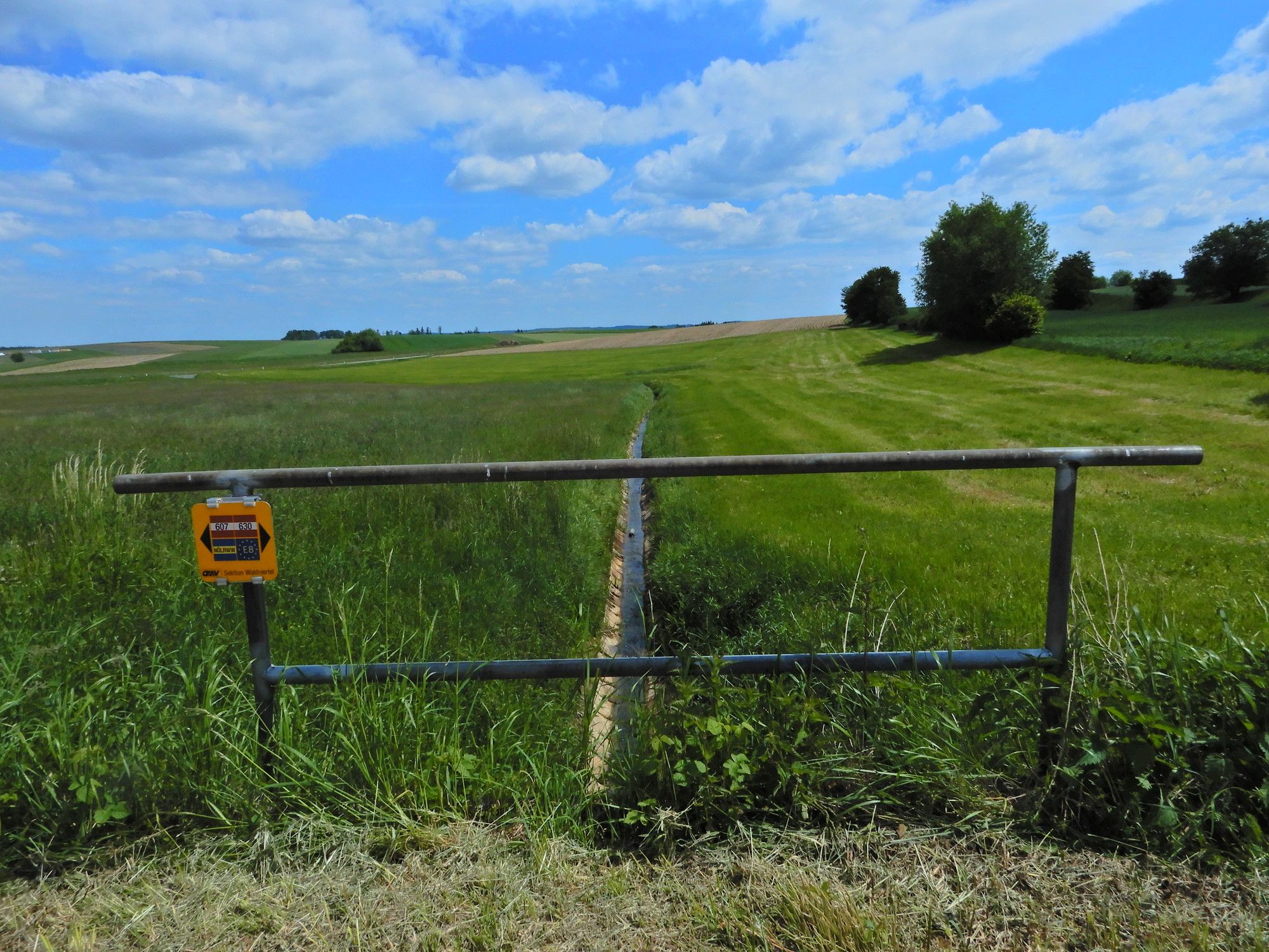
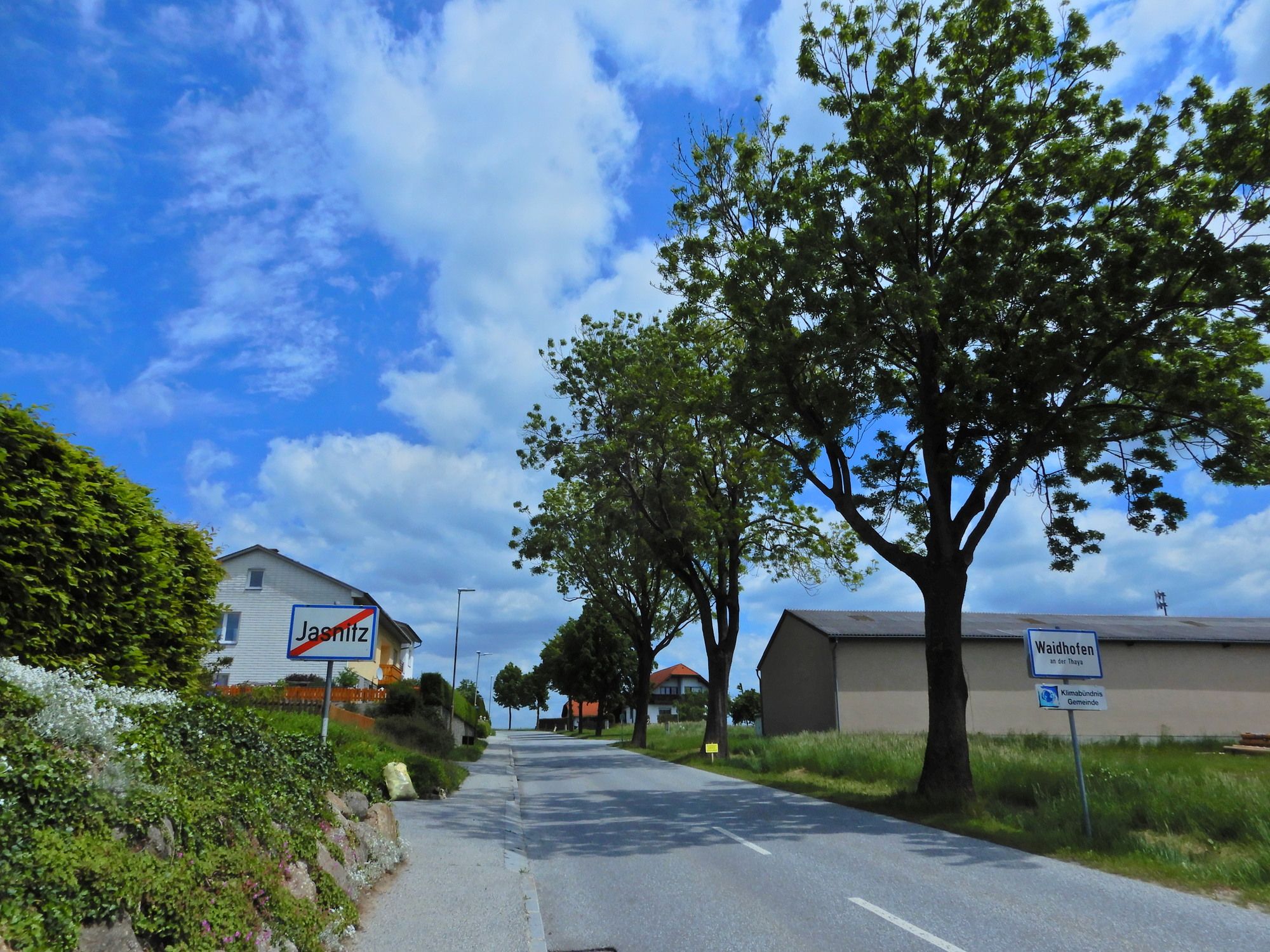
Kleinpertholz - Heidenreichstein - Artolz - Buchbach - Brunn - Jasnitz - Waidhofen a. d. Thaya
- Difficulty
-
easy
- Rating
-
- Starting point
-
Kleinpertholz
- Route
-
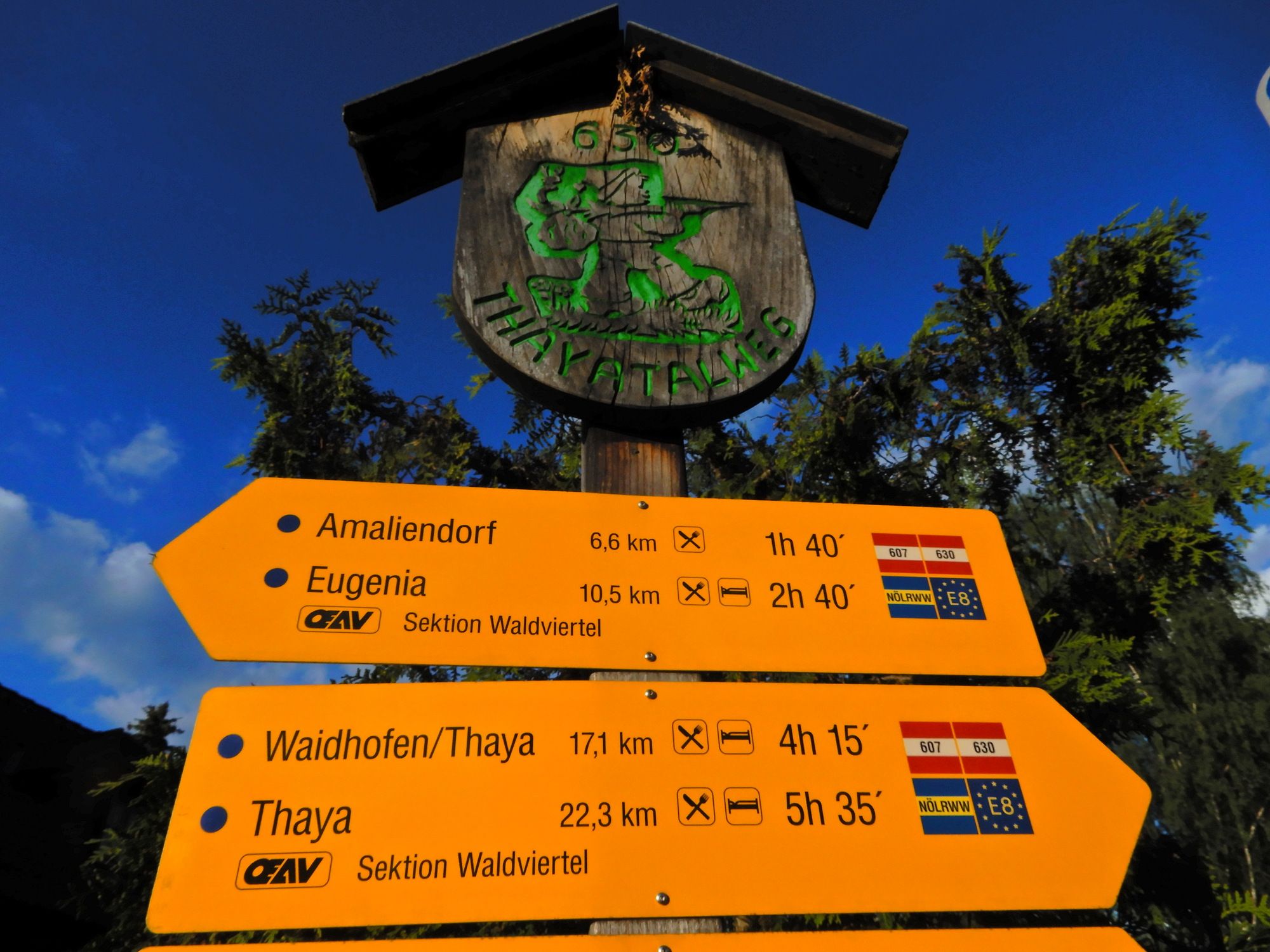
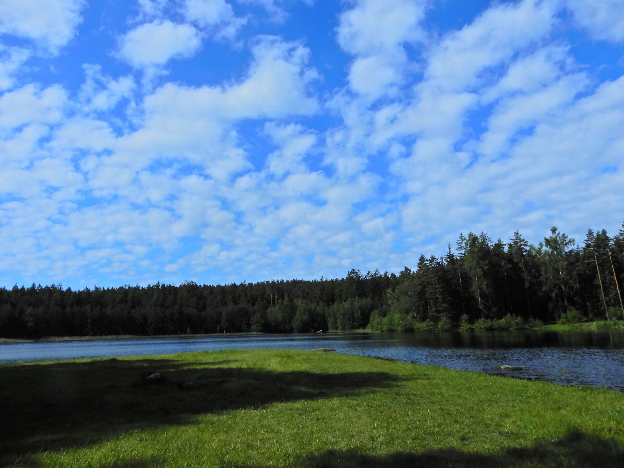
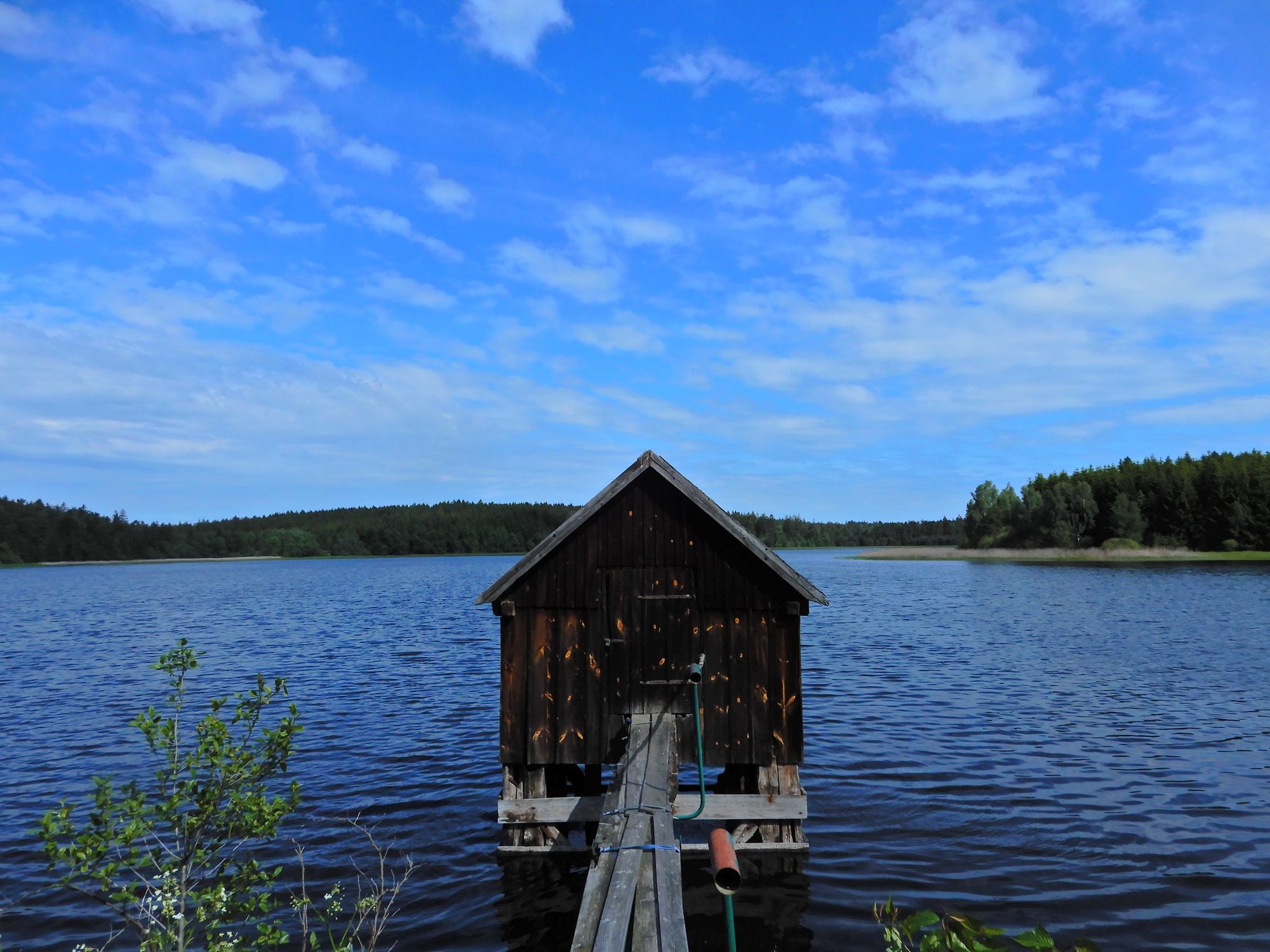
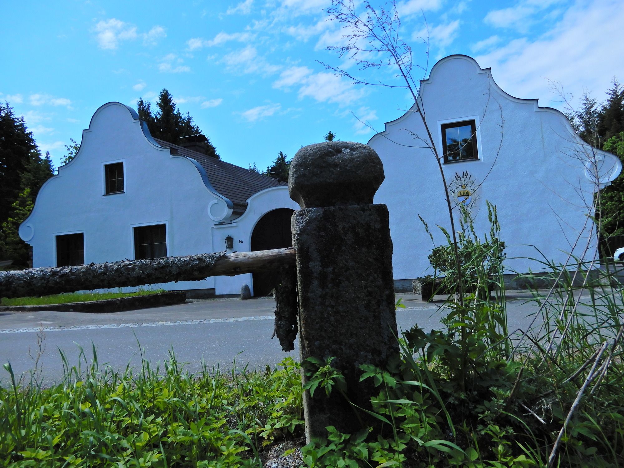
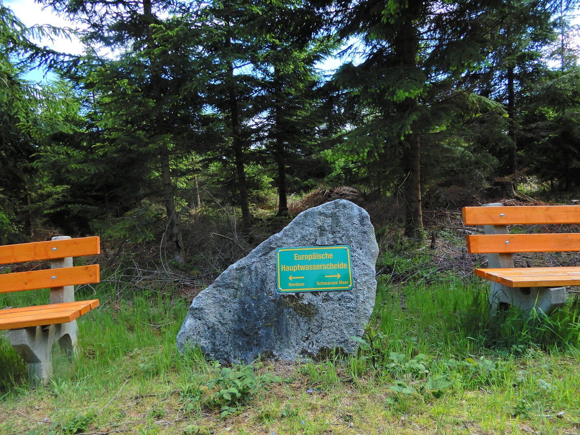
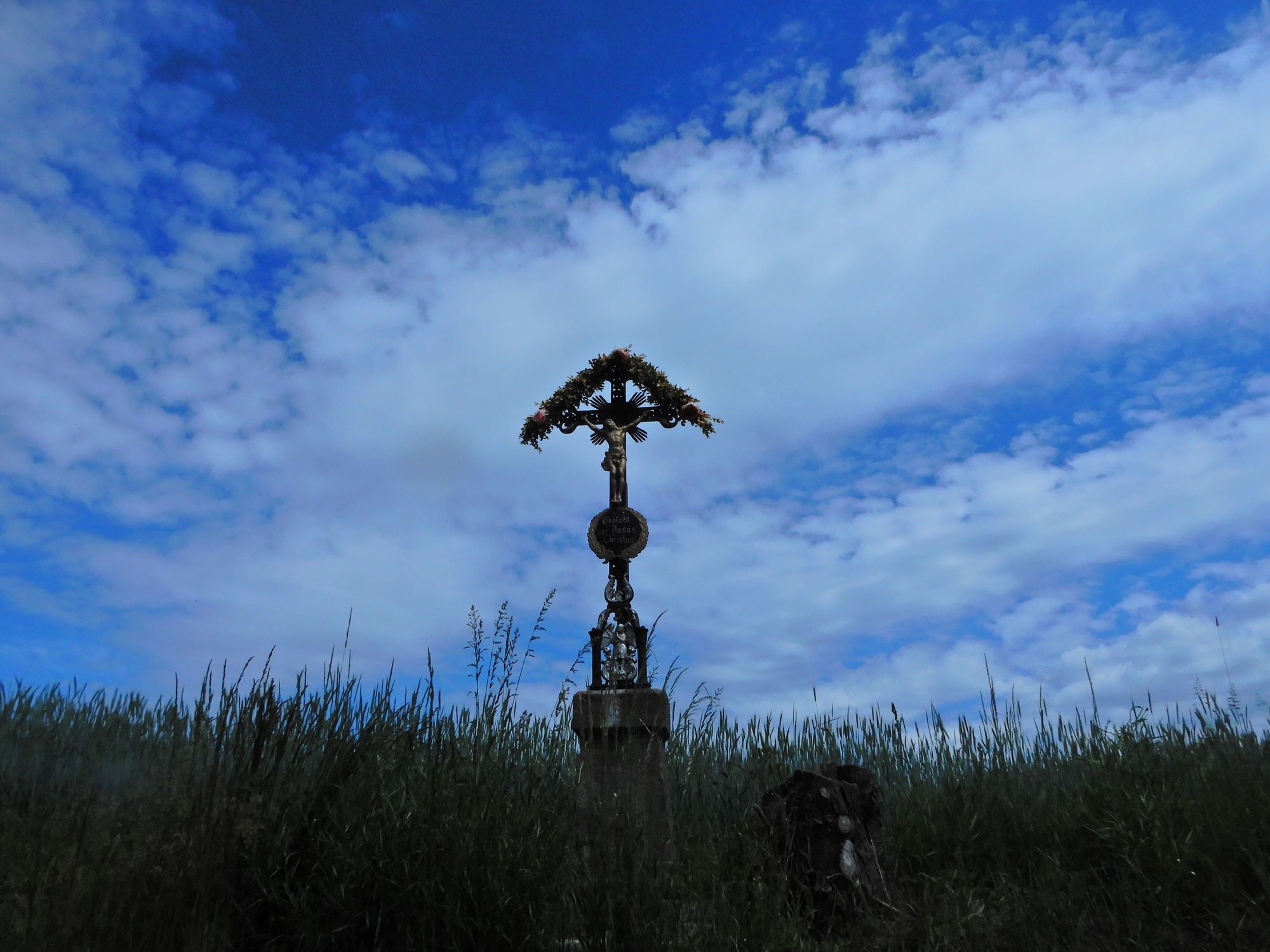
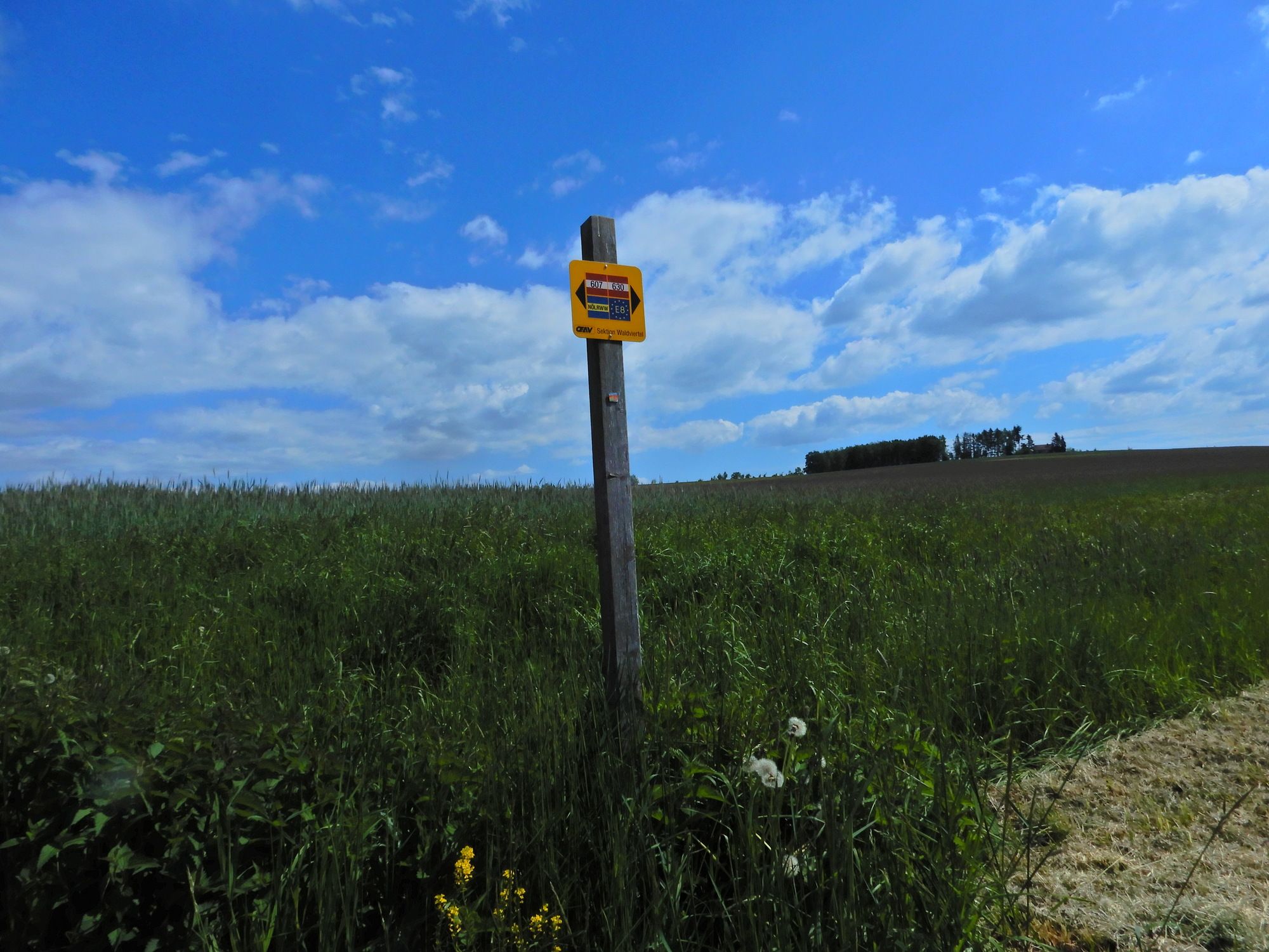
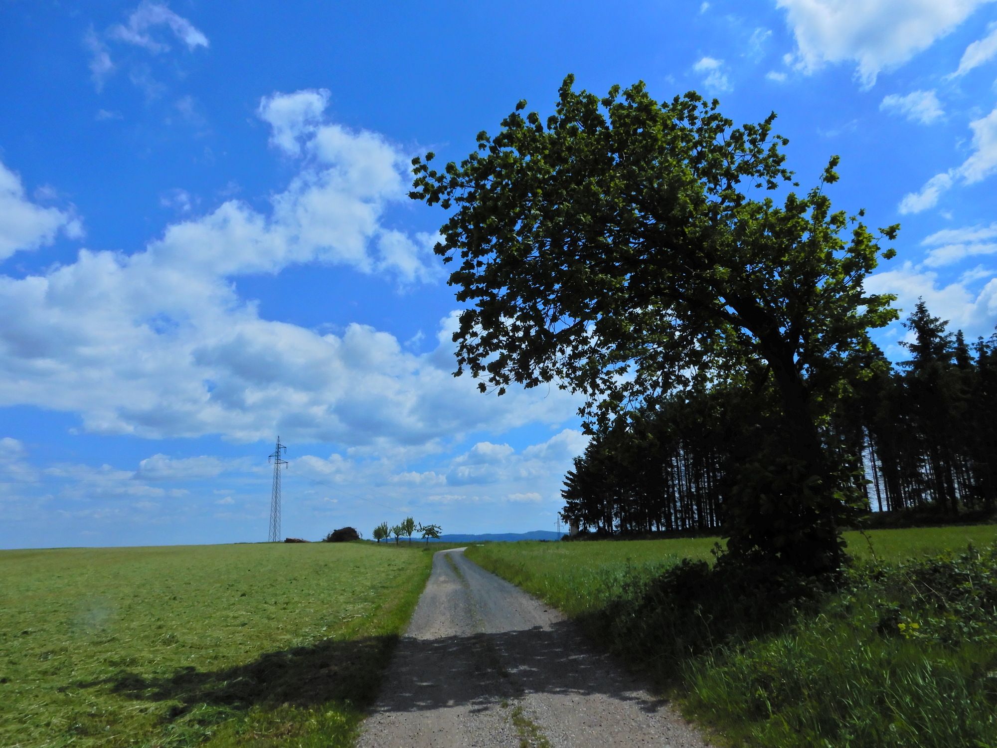
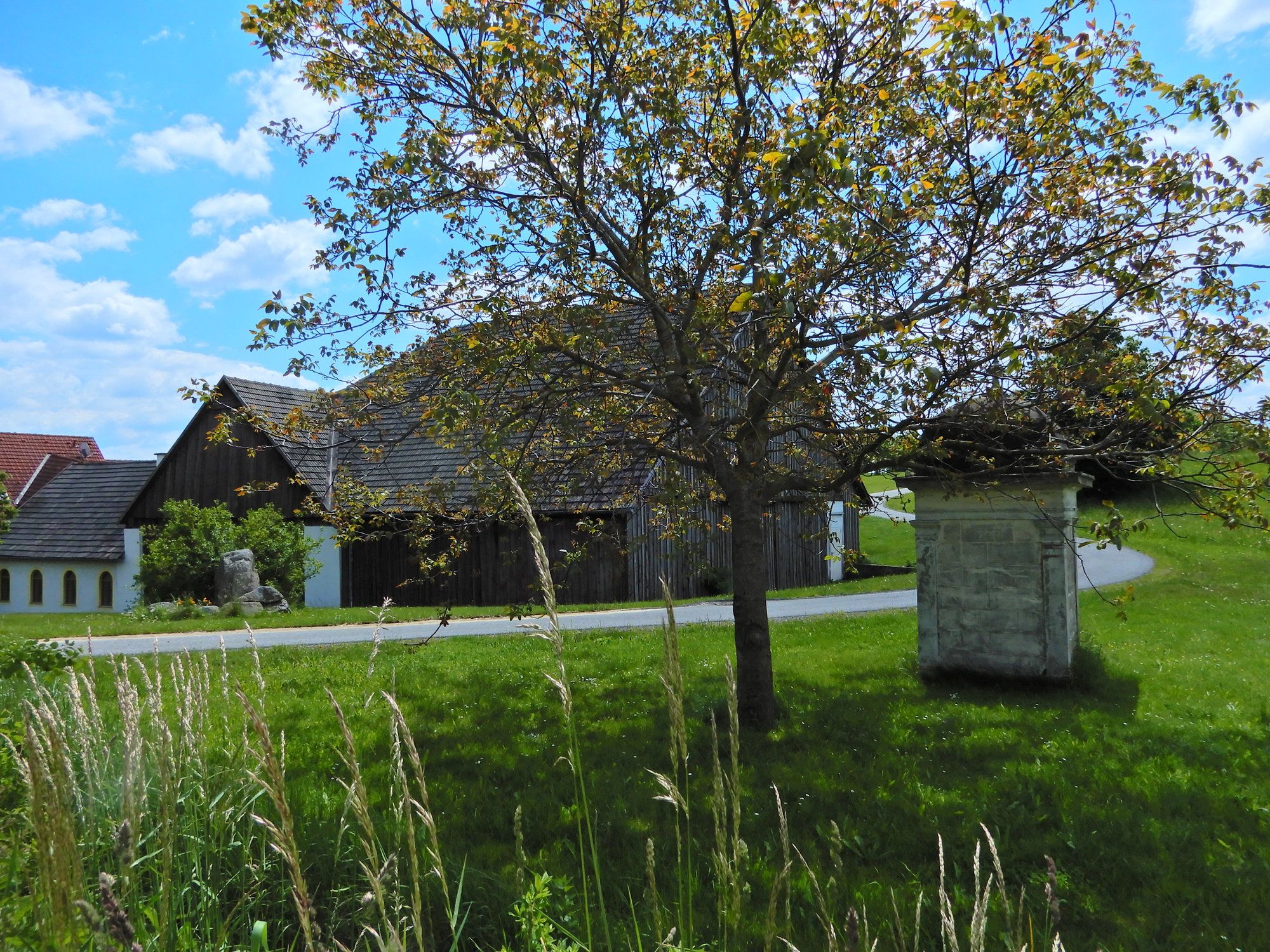
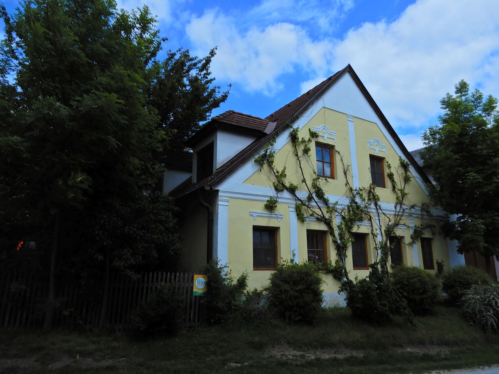
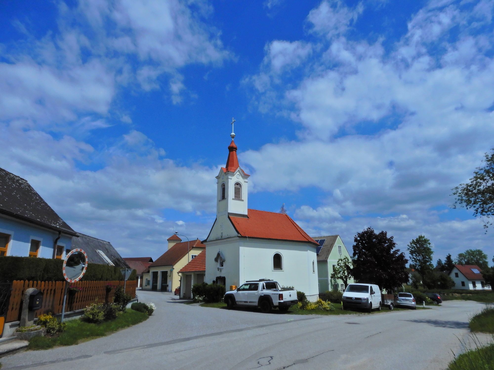
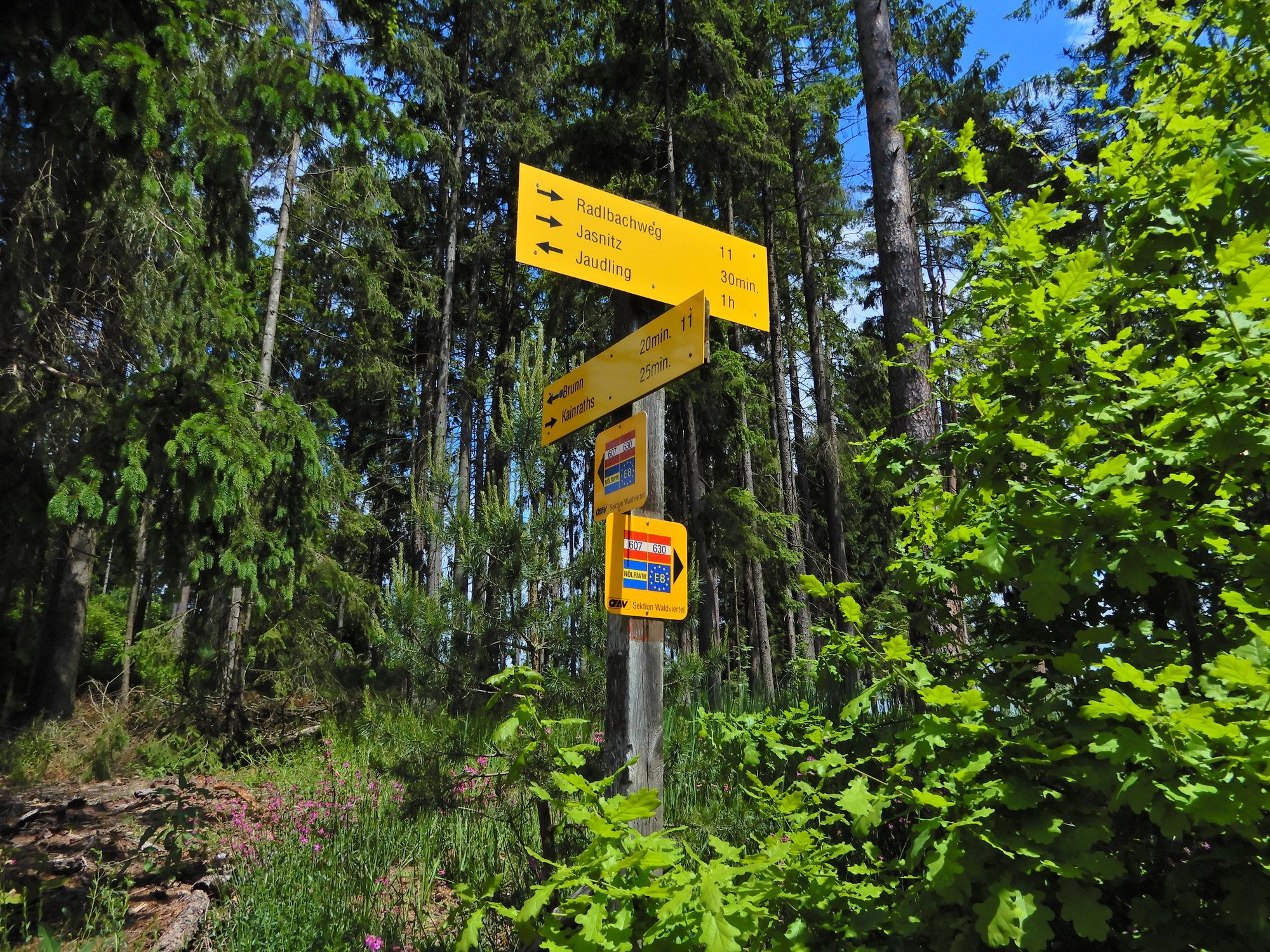
Kleinpertholz0.1 kmHeidenreichstein1.3 kmEvangelische Kirche1.7 kmMarterl2.2 kmWinkelauer Berg (630 m)4.5 kmSchwarzenberg5.7 kmTrefsidl6.2 kmArtolz8.1 kmPfarrkirche hl. Florian11.0 kmBuchbach11.2 kmOrtskapelle13.6 kmBrunn13.7 kmJasnitz17.1 kmOrtskapelle17.1 kmWaidhofen an der Thaya (510 m)18.3 km
- Best season
-
JanFebMarAprMayJunJulAugSepOctNovDec
- Highest point
- 624 m
- Endpoint
-
Waidhofen a. d. Thaya
- Information
-
Österreichischer Weitwanderweg 07, Ostösterreichischer Grenzlandweg, Nebelstein - Bad Radkersburg, Erika und Fritz Käfer
- Ticket material
-
BEV


GPS Downloads


Trail conditions
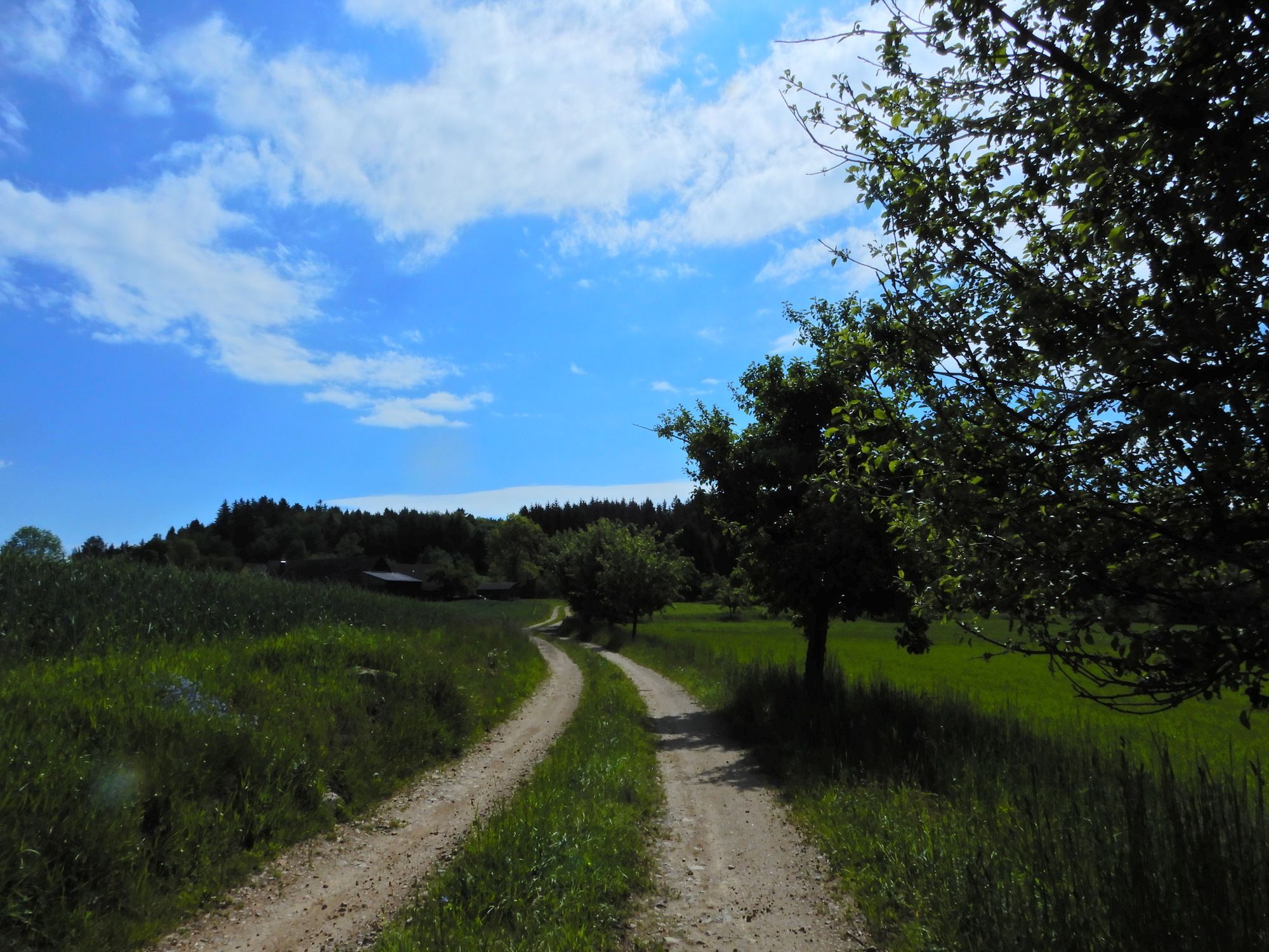
Asphalt
Gravel
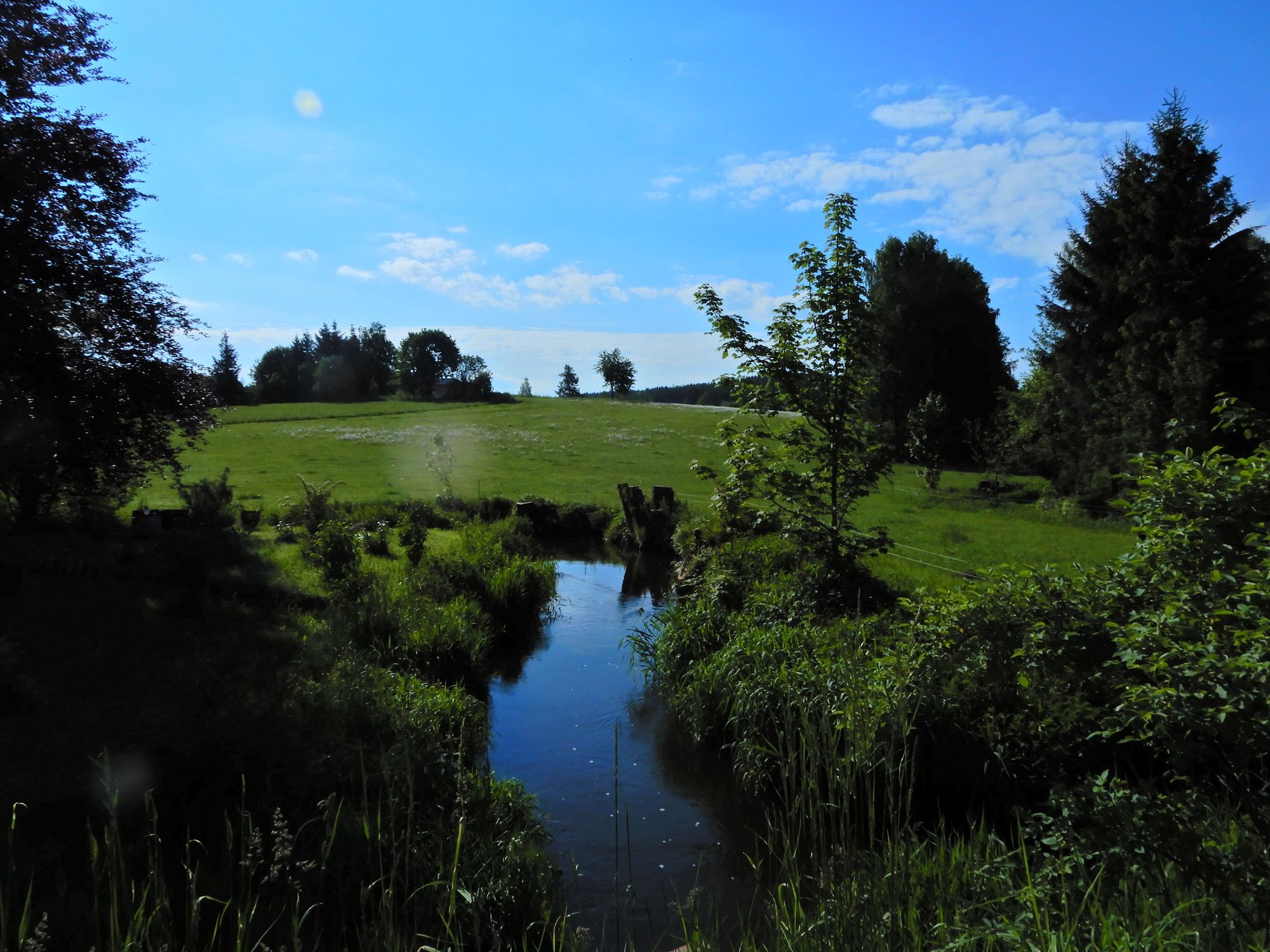
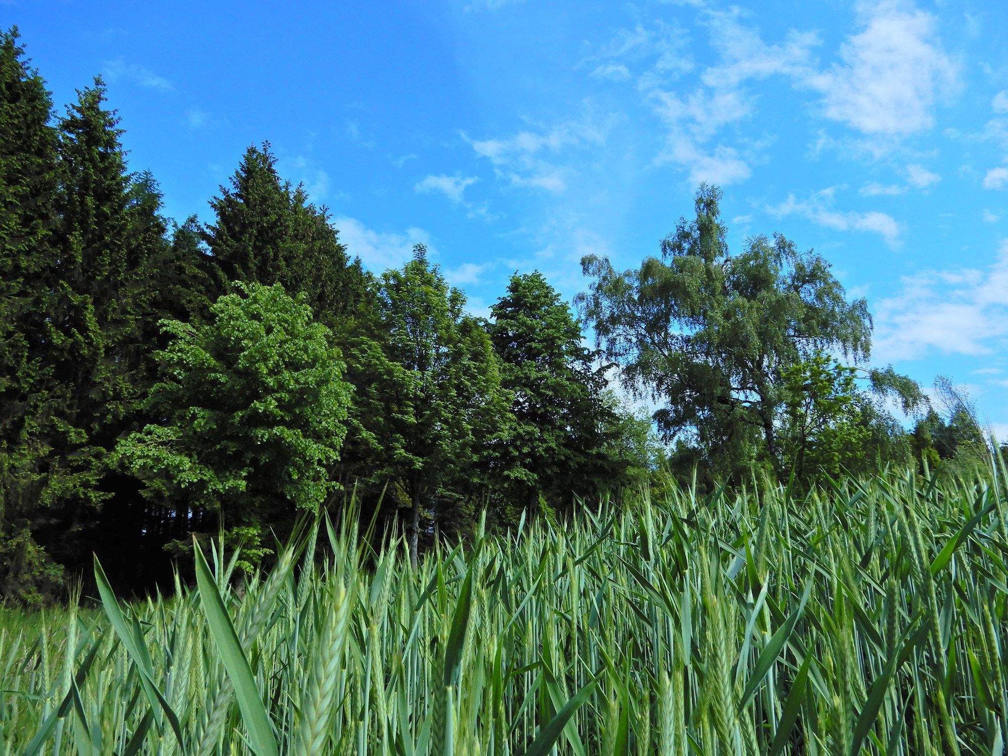
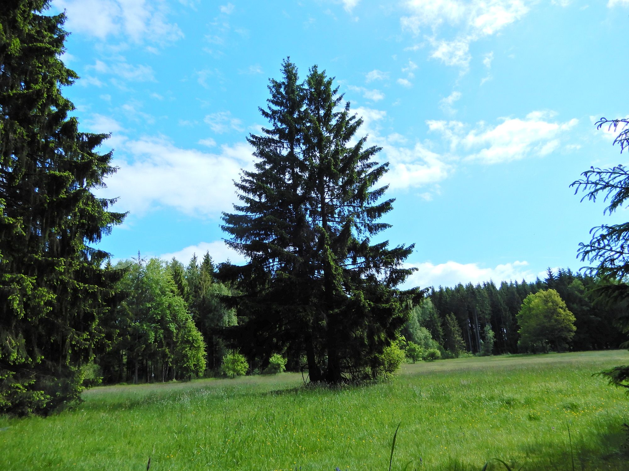
Meadow
Forest
Rock
Exposed
Other tours in the regions