"alpannonia" Etappe 2 Feistritzsattel - Mönichkirchen

long-distance walking trail

© Wiener Alpen in Niederösterreich - Alpannonia - Wiener Alpen, Kremsl

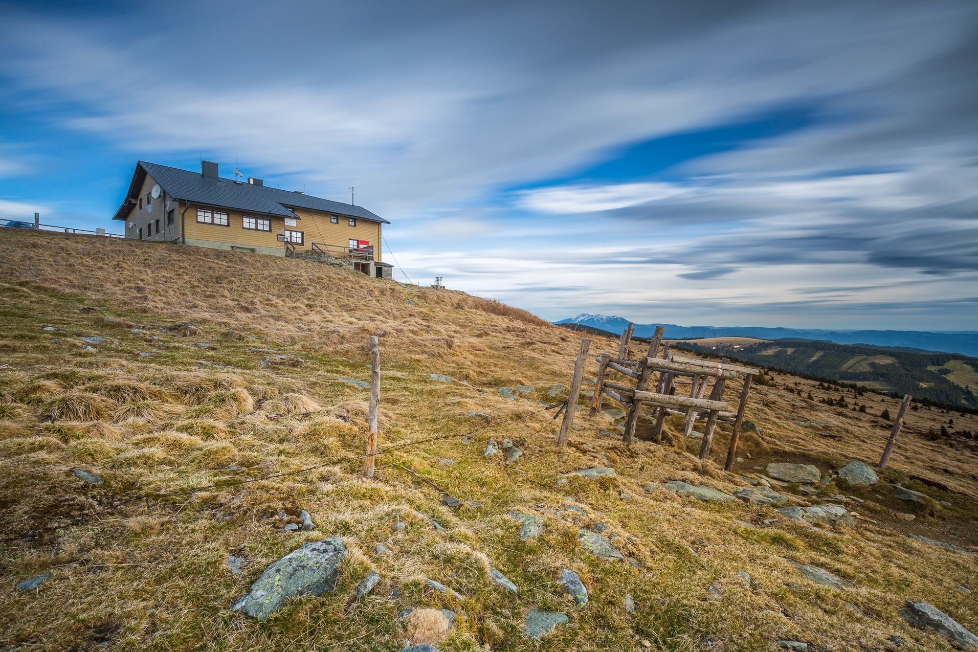
© Unbekannt - Walter Laschober

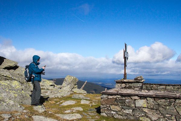
© Unbekannt - Walter Laschober

© Unbekannt - Walter Laschober

- Brief description
-
Von den „Kraftspenderdörfern“ bis zu den Schwaigen
- Difficulty
-
medium
- Rating
-
- Route
-
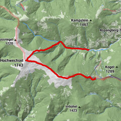
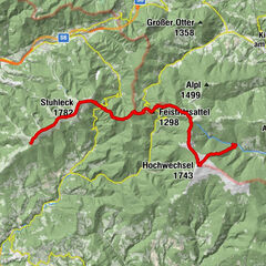
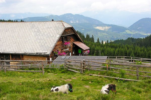
Kranichberger Schwaig3.6 kmDreiländereck4.2 kmHochwechsel (1,743 m)7.8 kmWetterkoglerhaus7.8 kmNiederwechsel (1,669 m)11.0 kmSteinerne Stiege (1,505 m)13.3 kmStoa Alm13.9 kmHallerhaus14.5 kmBerggasthof Mönichkirchner Schwaig15.7 kmSchauquellfassung16.9 kmMönichkirchen18.1 km
- Best season
-
JanFebMarAprMayJunJulAugSepOctNovDec
- Highest point
- 1,740 m
- Endpoint
-
Mönichkirchen
- Height profile
-


- Author
-
The tour "alpannonia" Etappe 2 Feistritzsattel - Mönichkirchen is used by outdooractive.com provided.
GPS Downloads


General info
Refreshment stop
Flora
A lot of view
Other tours in the regions
-
Wiener Alpen
3035
-
Wechselland - Wiener Alpen
1696
-
Aspangberg - St. Peter
430