- Brief description
-
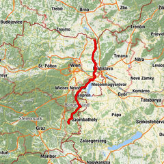
The North-South-axis through the vast country
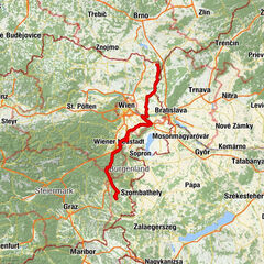
The EuroVelo 9 is part of the European long-distance cycling network and connects the Baltic Sea with the Adriatic. On the way from Gdańsk to Pula, about 180 km run through Lower Austria, first quiet by the Weinviertel (section Vienna - Brno), then through Vienna, then enjoyably through the thermal spring region (section Thermenradweg (bike path) and alternatively the Triestingau-bike path) and finally is a little more demanding along the Thermenradweg (bike path).
South of Vienna on the same height as Leoberdsorf is the Triestingau-bike path a nice alternative to the Thermenradweg (bike path).
- Difficulty
-
easy
- Rating
-
- Starting point
-
City border Vienna/Lanzendorf
- Route
-
RannersdorfZwölfaxing (168 m)1.9 kmMünchendorf13.7 kmUntere Rohräcker17.9 kmTrumau19.1 kmDorfwirt Bakutz21.8 kmOberwaltersdorf22.0 kmTattendorf24.6 kmJoan von Nepomuk24.9 kmTeesdorf27.0 kmPfarrkirche Günselsdorf (Hl. Georg)28.6 kmGünselsdorf29.1 kmGasthaus Ortszentrum30.2 kmSchönau an der Triesting30.3 kmGünselsdorf34.5 kmPfarrkirche Günselsdorf (Hl. Georg)35.0 kmTeesdorf36.2 kmTattendorf38.6 kmJoan von Nepomuk38.7 kmOberwaltersdorf41.6 kmTrumau44.4 kmUntere Rohräcker45.4 kmMünchendorf49.6 kmZwölfaxing (168 m)61.5 kmRannersdorf64.0 kmAltkettenhof65.1 kmSchwechat65.5 kmGroß-Schwechat65.6 kmAlbern69.9 kmVienna (542 m)70.9 km
- Best season
-
JanFebMarAprMayJunJulAugSepOctNovDec
- Description
-
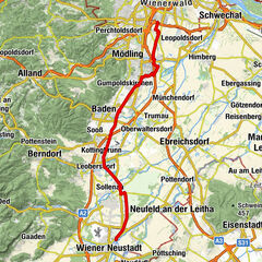
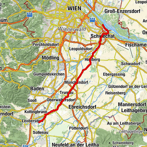
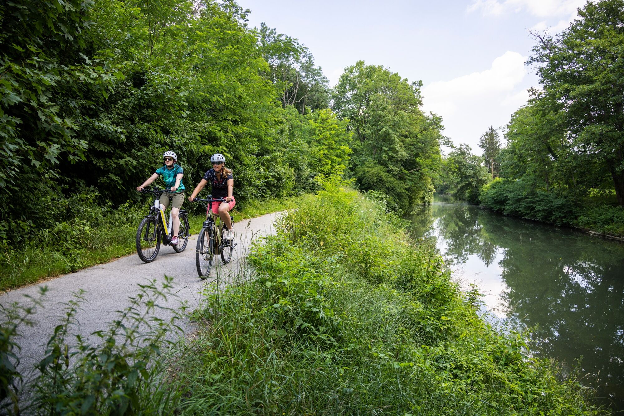
The Triestingau-bike path - along the riverside
The alternate route South of Vienna. On a length of about 30 km, the so-called "Triestingau" bike path stretches between Lanzendorf and Schönau an der Triesting. On the route, cyclists ride on flat terrain along the river. Cyclists can dive into the silent floodplains or divert to Heurigen (inn) locations along the route. With its further alternate connections along the Schwechat (river) in Vienna and the Thermenradweg (bike path) along the WR. Neustadt Canal to the South, the "Triestinger route" is an important North South bike route in the South-Eastern part of Lower Austria.
- Highest point
- 258 m
- Endpoint
-
Schönau an der Triesting
- Height profile
-

- Tips
-
The exit points Himberg and Schönau an der Triesting are easily accessible both by car and by public transport.
- Additional information

- Author
-
The tour Triestingau cycle route is used by outdooractive.com provided.