


- Brief description
-
A lengthy hiking tour for adventurers who enjoy uphill hikes and beautiful sceneries.
- Difficulty
-
medium
- Rating
-
- Starting point
-
Bus stop "Lelekovice"/ Hotel "Babi Lom"
- Route
-
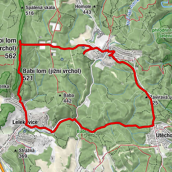
Hotel restaurant Babí lom0.0 kmLelekowitz0.0 kmLavky3.2 kmU Jelínka3.5 kmNekonečno5.3 kmNa Gruntě5.6 kmHospůdka Bylo nebylo6.2 kmU Klímů6.3 kmWranau6.3 kmKaple Svatého Kříže a sv. Rozalie6.6 kmkaple Anděla Strážného6.7 kmZavíravá u Vranova (525 m)8.2 kmÚtěchov9.3 kmRestaurace Na Poňavě13.2 kmLelekowitz13.5 kmHotel restaurant Babí lom13.6 km
- Best season
-
JanFebMarAprMayJunJulAugSepOctNovDec
- Description
-
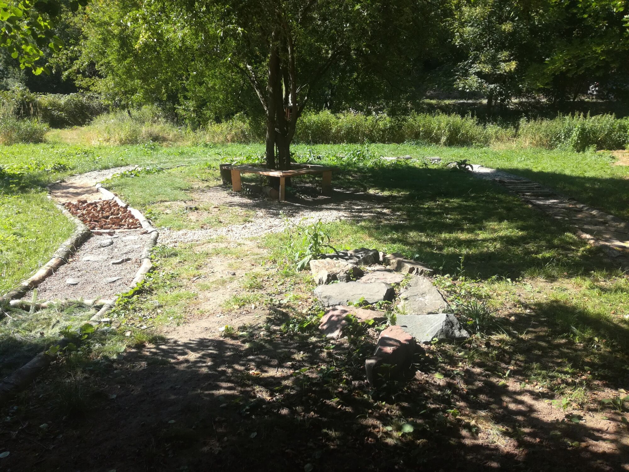
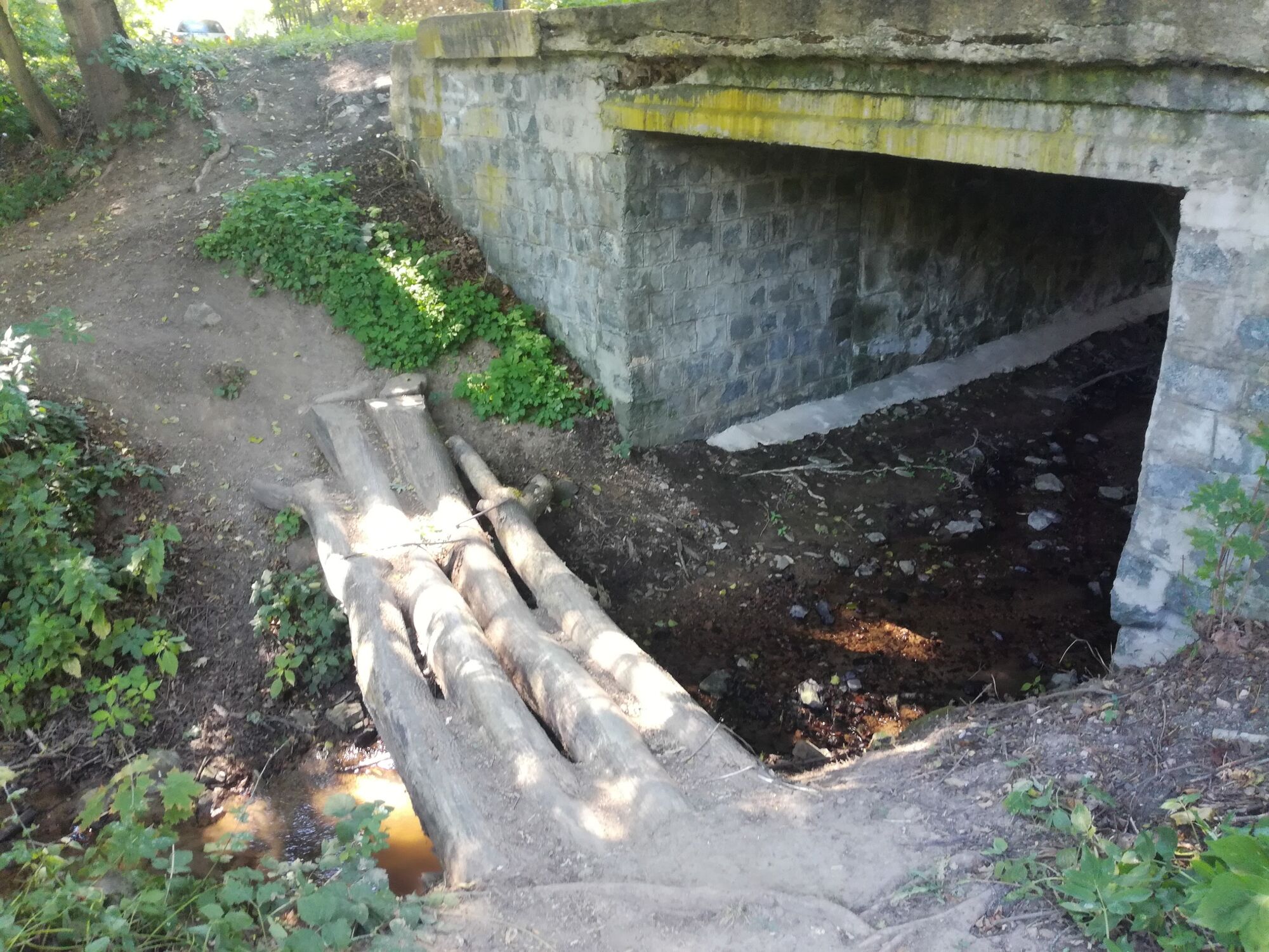
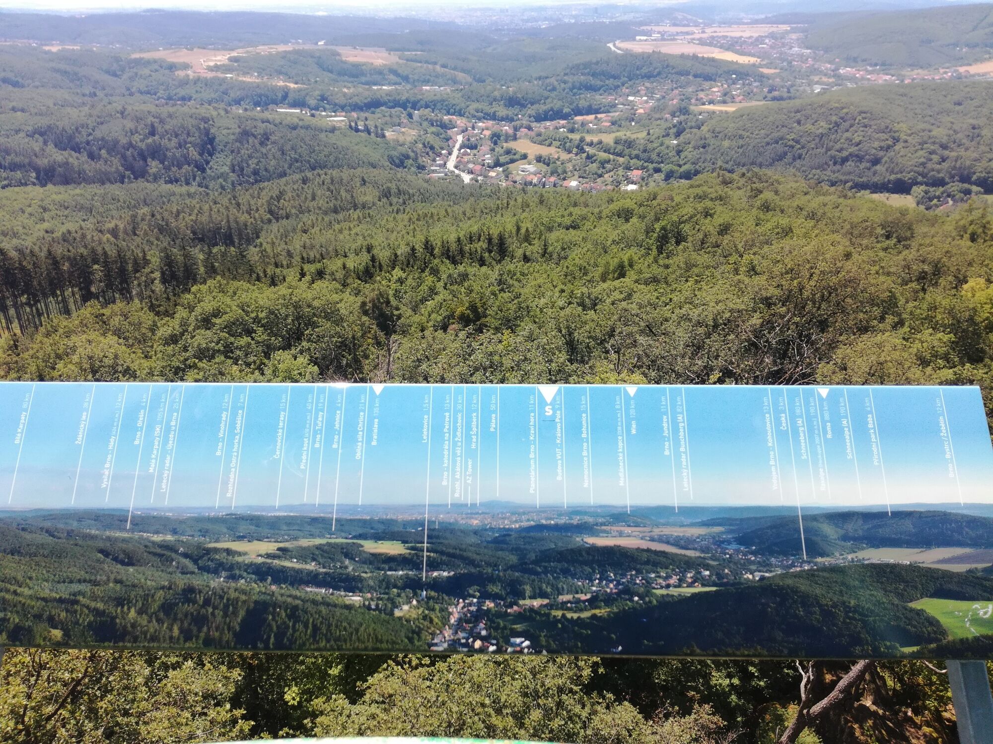
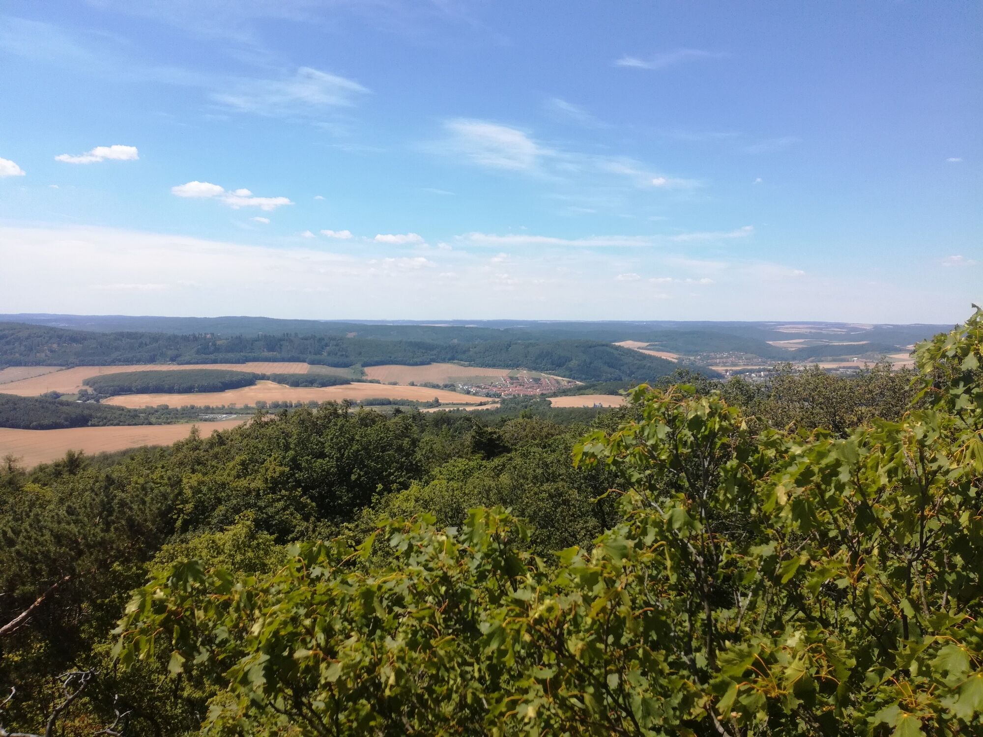
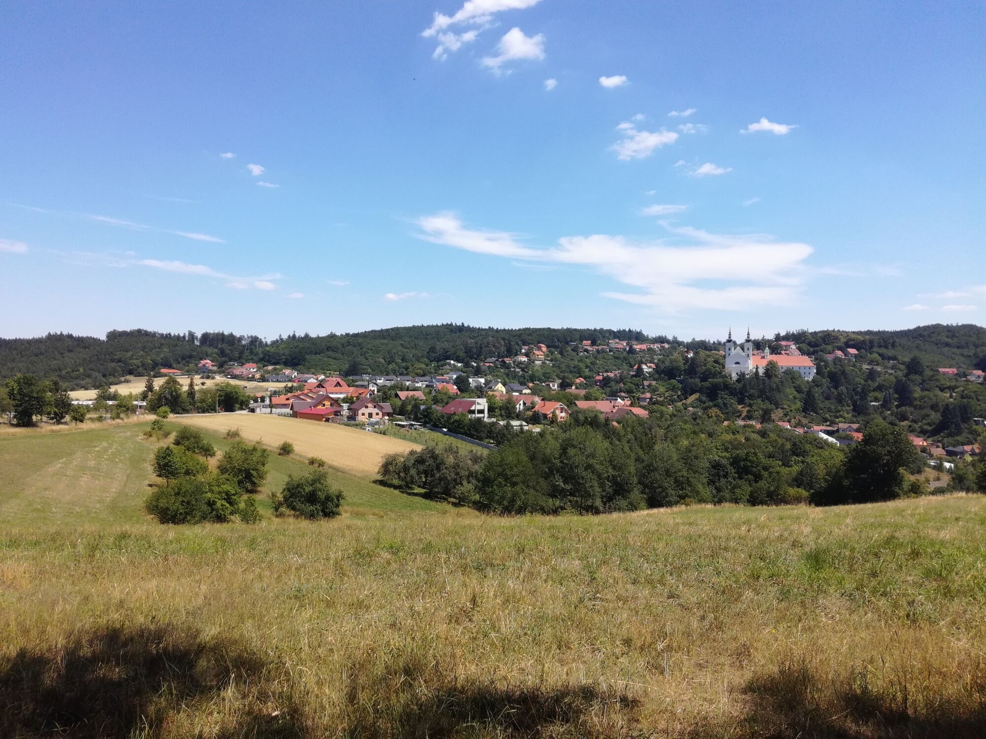
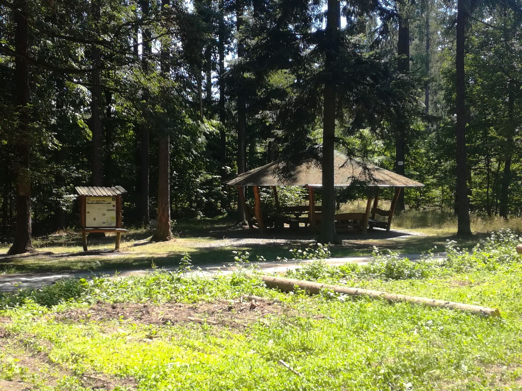
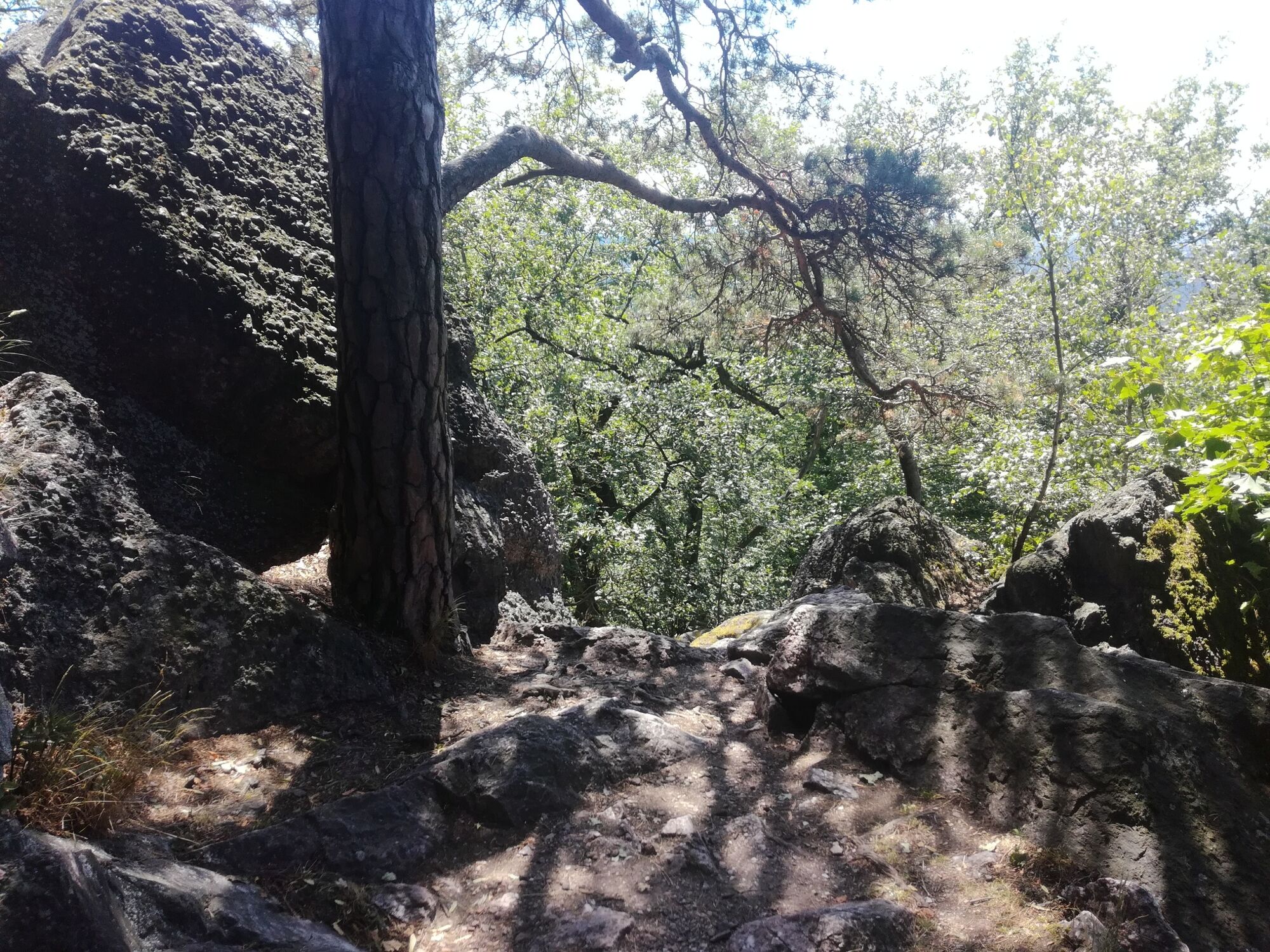
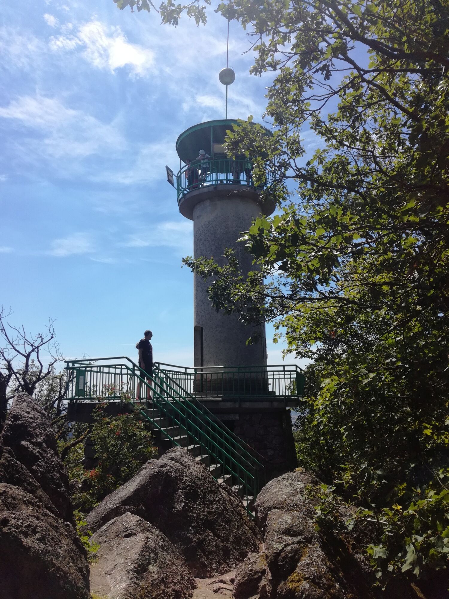
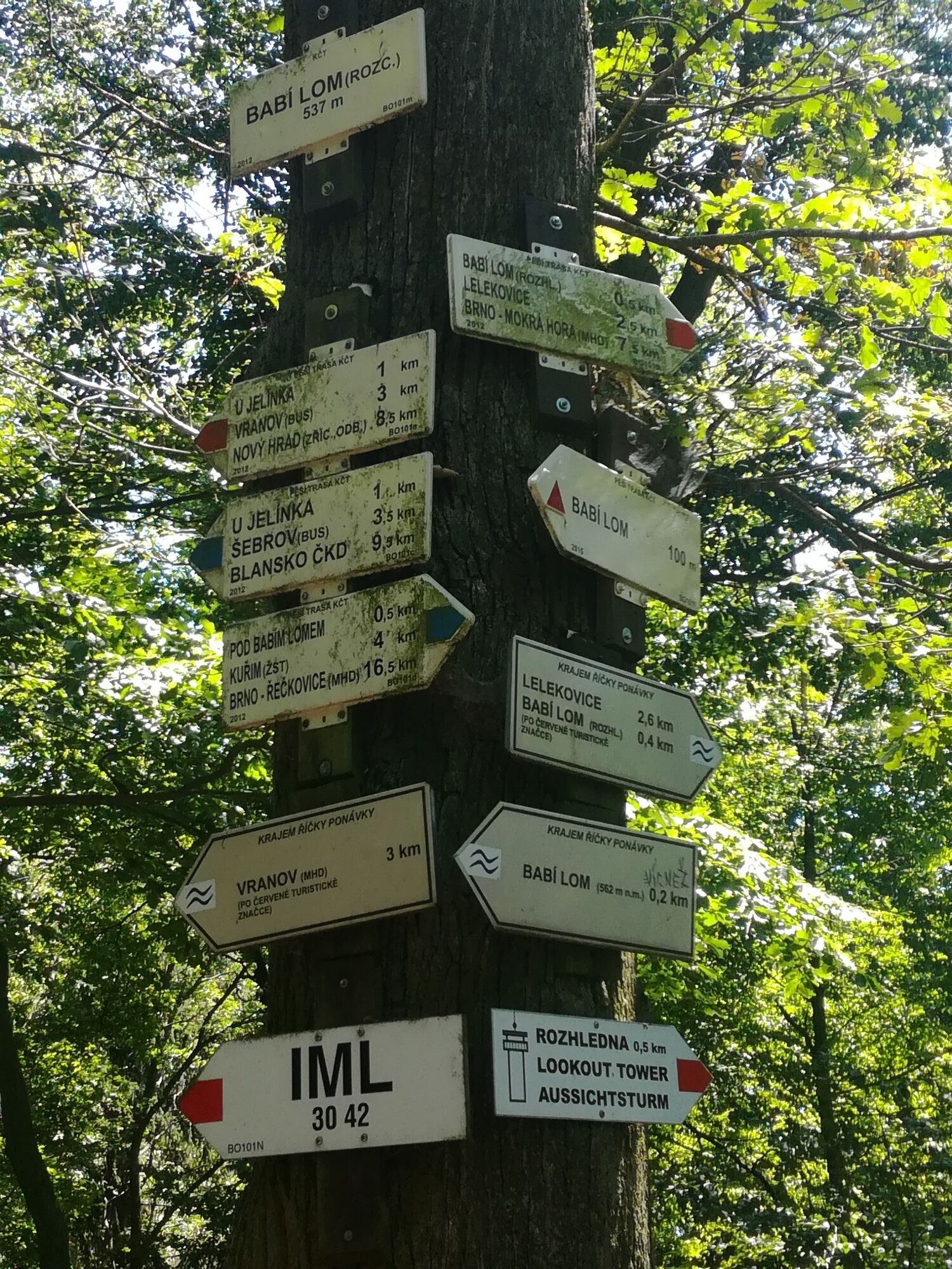
A lengthy hiking tour for adventurers who enjoy uphill hikes and beautiful sceneries. At the beginning of the route (first 2 kms), there is a steep uphill (about 250 elevation meters up). Reaching the first point of interest - the viewing tower of Babi Lom along the steep rocky path and a further summit of Babi Lom (elev. 562 m). After that there is a steep downhill, after which the rest of the hiking route is much flatter in comparison. Along this hiking route there are plenty of points of interest, places to relax, sit down and eat, as well as restaurants/bars as well as some funny places to take pictures for memory. Please, look at the pictures to see for yourself whether this hiking route is what you are looking for ;)
- Directions
-
It is the best to download outdooractive app and follow the route along with GPS signal on your mobile phone. This is much easier and makes sure you don't get lost or lose the route. Make sure you have enough battery in your phone or take a powerbank with you, just in case!
- Highest point
- 546 m
- Endpoint
-
Bus stop "Lelekovice"/ Hotel "Babi Lom"
- Height profile
-
 © outdooractive.com
 - Equipment
-
-Comfortable hiking shoes, as the route is not short. Also hiking poles if you have them would help you, but not entirely necessary.
-Make sure you have enough battery in your phone or take a powerbank with you, just in case, especially if you are using the Outdooractive mobile app to follow the hiking route.
- Safety instructions
-
-The trails are slippery after rain/in winter, not recommended to hike during these weather conditions.
-Be careful when passing the rocky path in the first part of the route!
- Tips
-
A visit to this hiking tour is best at the temperatures below 25 Celsius degrees AND when the ground is dry due to rocks and tree branches along route
- Directions
-
Easy to get here by car as well, there is free parking on the streets next to the starting point of the hiking route.
Coordinates: 49.2913669N, 16.5784158E
Take E461/ Route 43 from Brno towards Svitavy, and turn right when you see a sign "Česka/ Lelekovice" and turn to Lelekovice until you reach the starting point.
- Public transportation
-
It is easiest to reach by bus nr. 41 from Brno, "Kralovo Pole, nadraži" bus-stop. You should hop off at bus-stop "Lelekovice, naves". It takes around 25 minutes to get to Lelekovice.
Please, find the best public transport route from your home up to "Kralovo Pole, nadraži" bus-stop, as bus nr. 41 starts from there. For more information on Brno public transportation, visit www.idos.cz (available also in English).
- Parking
-
Free parking on the streets of Lelekovice next to the starting point of the hiking route.


- Author
-
The tour Hiking tour Lelekovice - Babi Lom - Vranov - Lelekovice is used by outdooractive.com provided.

