- Brief description
-
All encompassing circular hike through the Spanish capital's most impressive regional park
- Difficulty
-
medium
- Rating
-
- Route
-
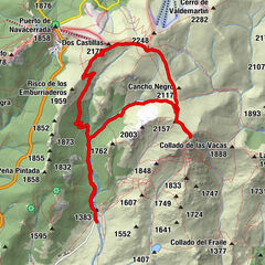
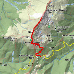
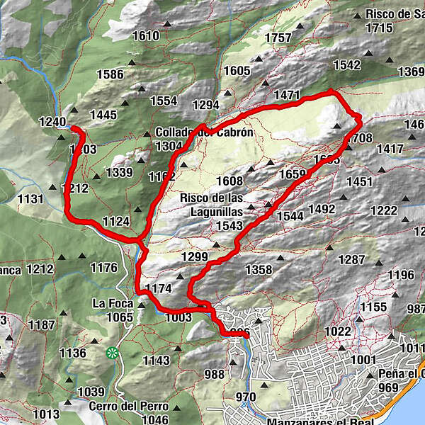
Hotel El Tranco0.7 kmEl Tranco0.7 kmCasa Julián0.7 kmEl Reloj1.9 kmFuente de la Gran Cañada2.4 kmEl Fraile2.5 kmPradera del Yelmo3.5 kmLas Tres Gracias (1,581 m)3.6 kmFuente del Risco de la Fuente3.6 kmEl Acebo (1,631 m)4.7 kmEl Tolmo (La Pedriza)7.1 kmFuente Carmina (1,242 m)7.2 kmFuente de Pedro Acuña7.6 kmArenizaciones en Prado Peluca (La Pedriza)7.7 kmAlta Montaña10.3 kmCampuzano10.6 kmDiques básicos de la Charca Verde (La Pedriza)12.2 kmAlta Montaña14.1 kmLos Barracones14.8 kmEl Tranco16.5 kmCasa Julián16.5 kmHotel El Tranco16.6 km
- Best season
-
JanFebMarAprMayJunJulAugSepOctNovDec
- Description
-
General description:
Difficulty: Medium
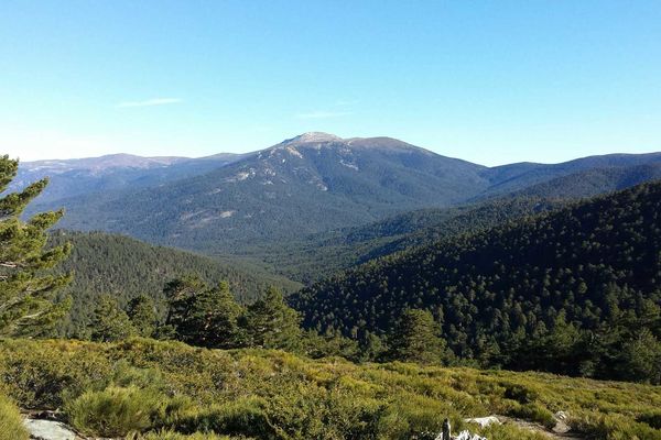
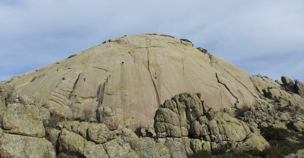
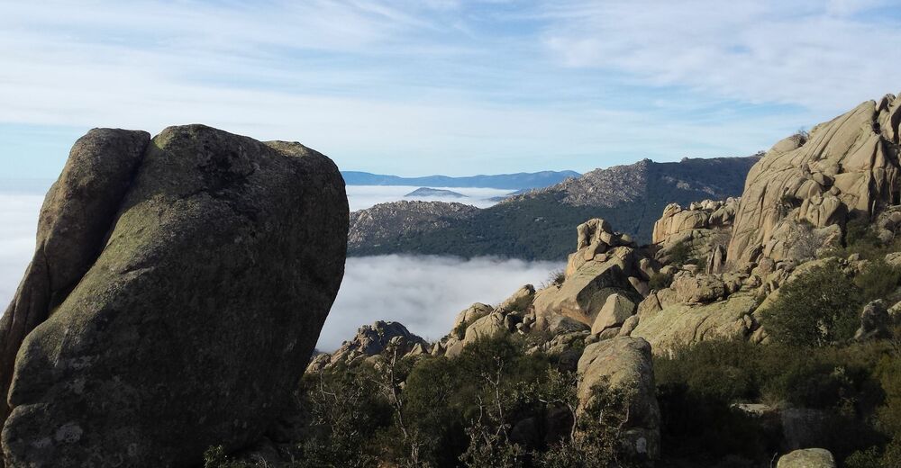
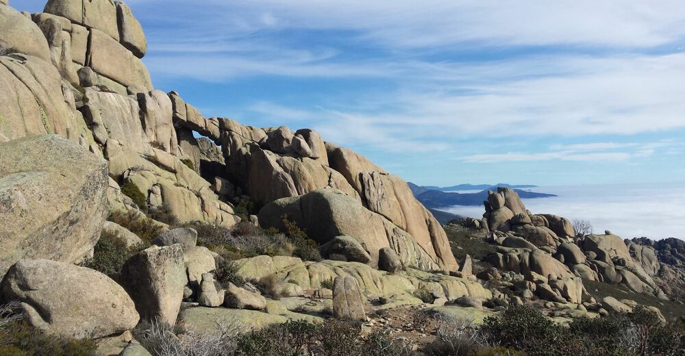
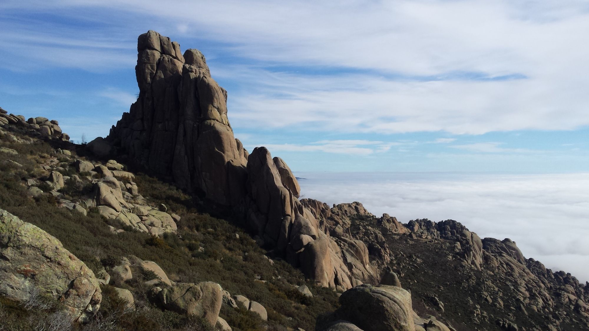
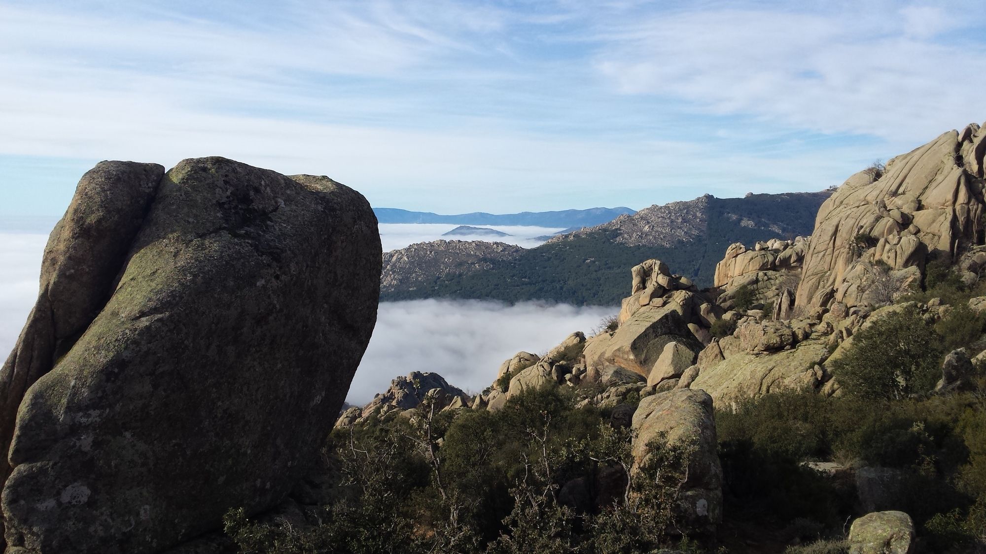
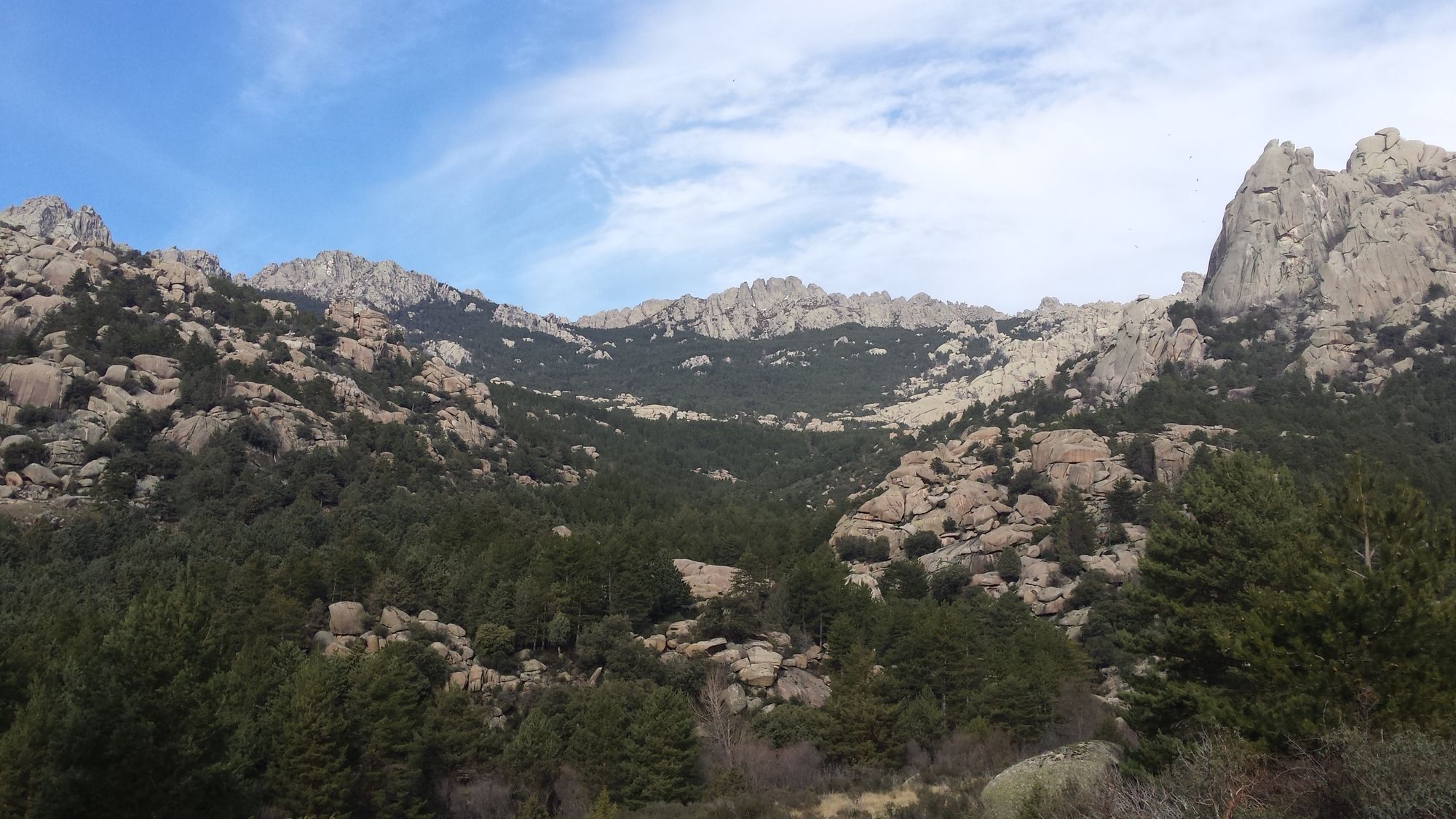
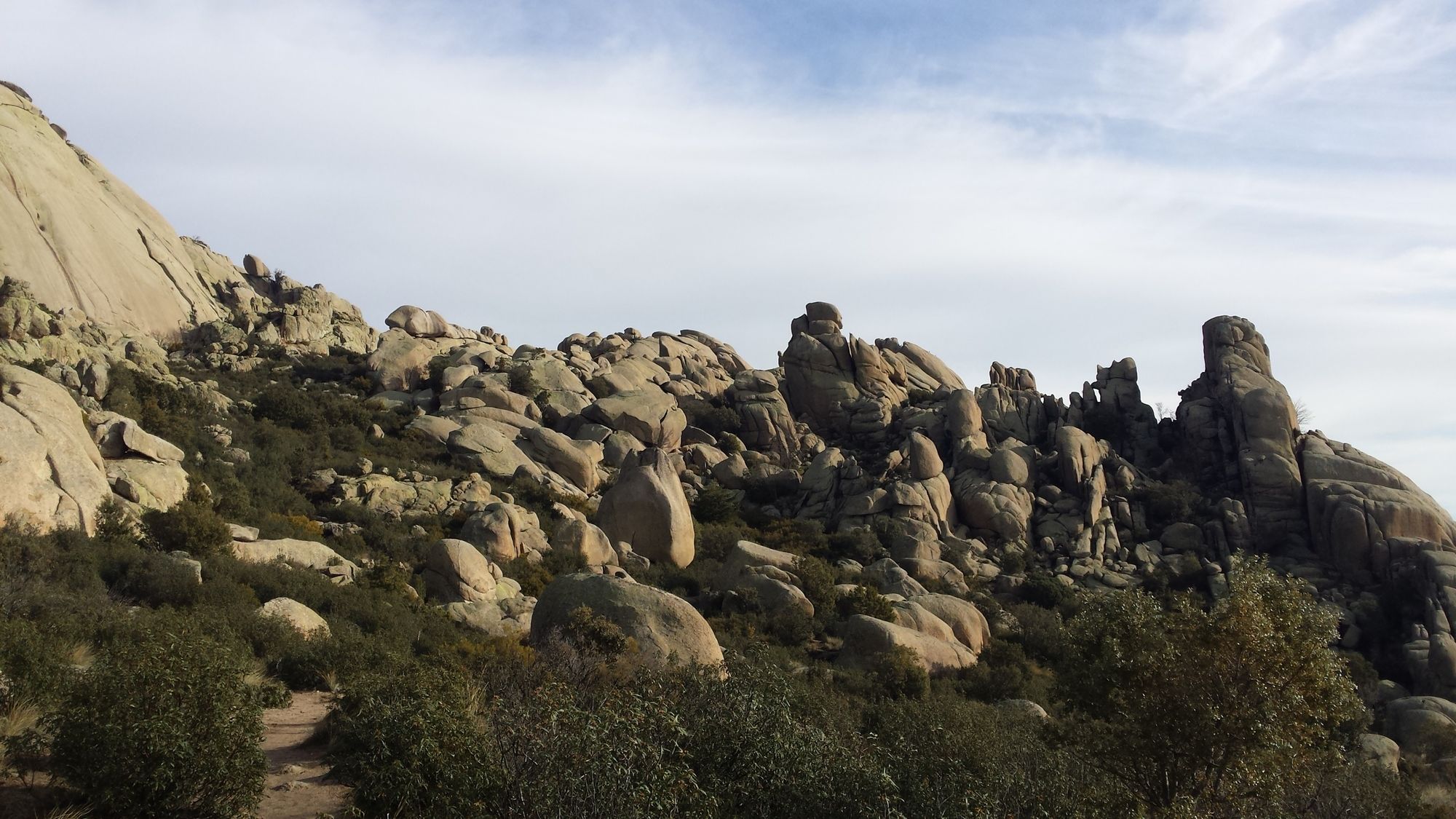
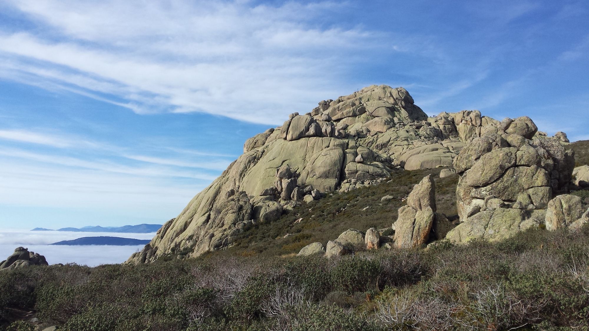
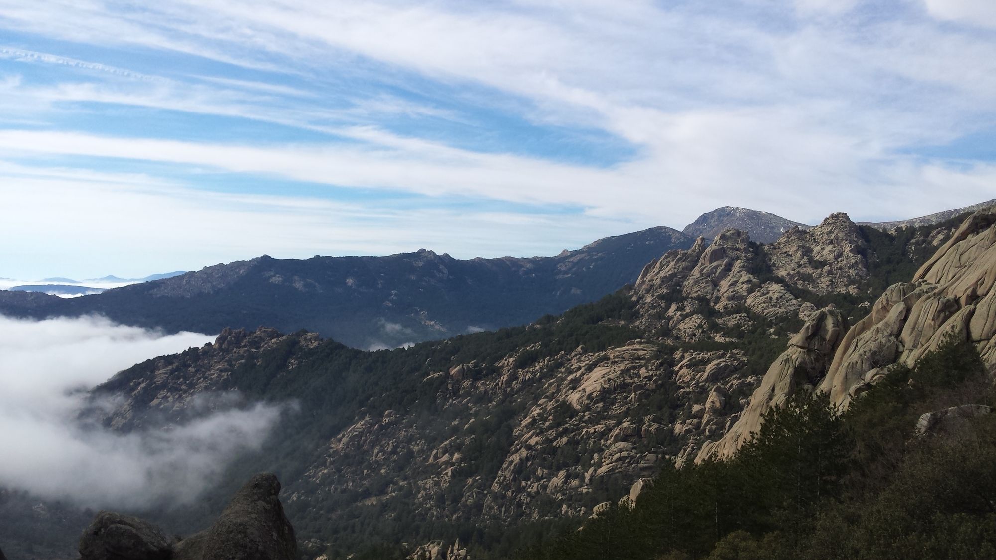
An ideal circular hike for a day in the mountains. The trip begins with an ascent up the barren and rocky "Peña del Yelmo", with its characteristic peak made out of a single rock formation. The route then continues down towards the densely forested valley around "La Pedriza" and then ends after following the Manzanares river towards the "Charca Verde" - the green pond. This route is especially recommendable in spring, as the rivers and streams are full of water and the Charca Verde has its highest water level.Segment 1: Parking lot Manzanares - Peña del Yelmo
Difficulty: Medium
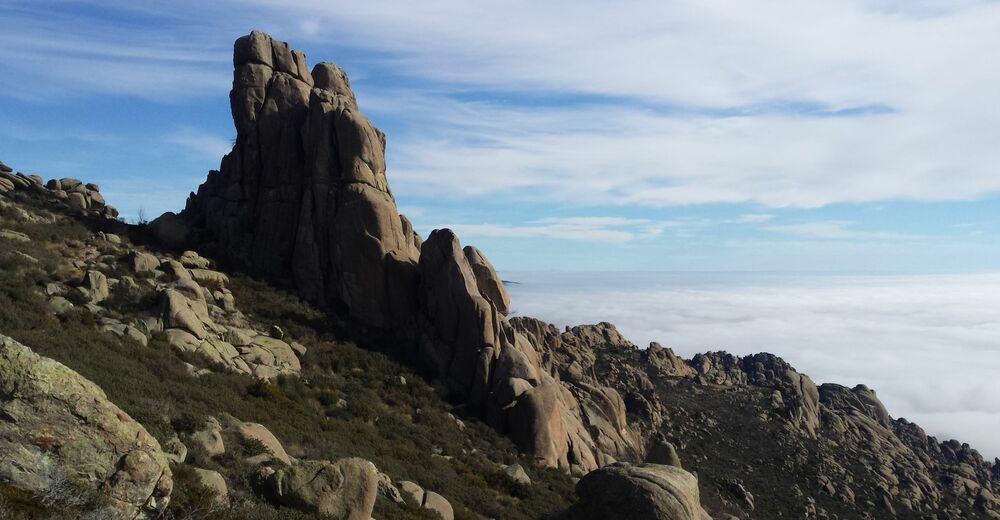
When reaching the parking lot at the end of the road make a right hand turn and follow the trail up towards the mountain. The route up towards the Yelmo is a constant and gradual incline. The Yelmo itself is impossible to miss, due to its characteristic shape of a "helmet" that stands out from the surrounding terrain.Segment 2: Peña del Yelmo - Collado de la Dehesilla
Difficulty: Medium
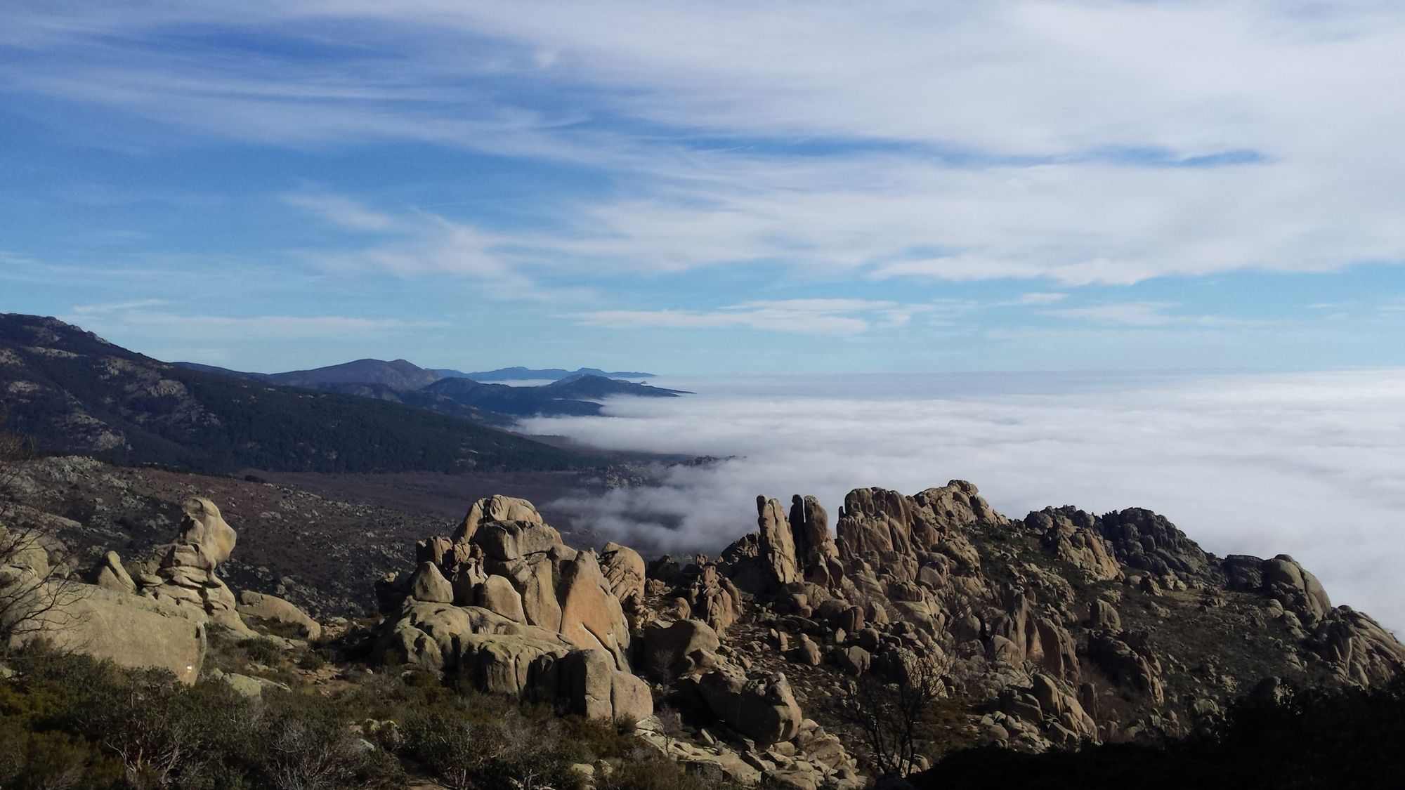
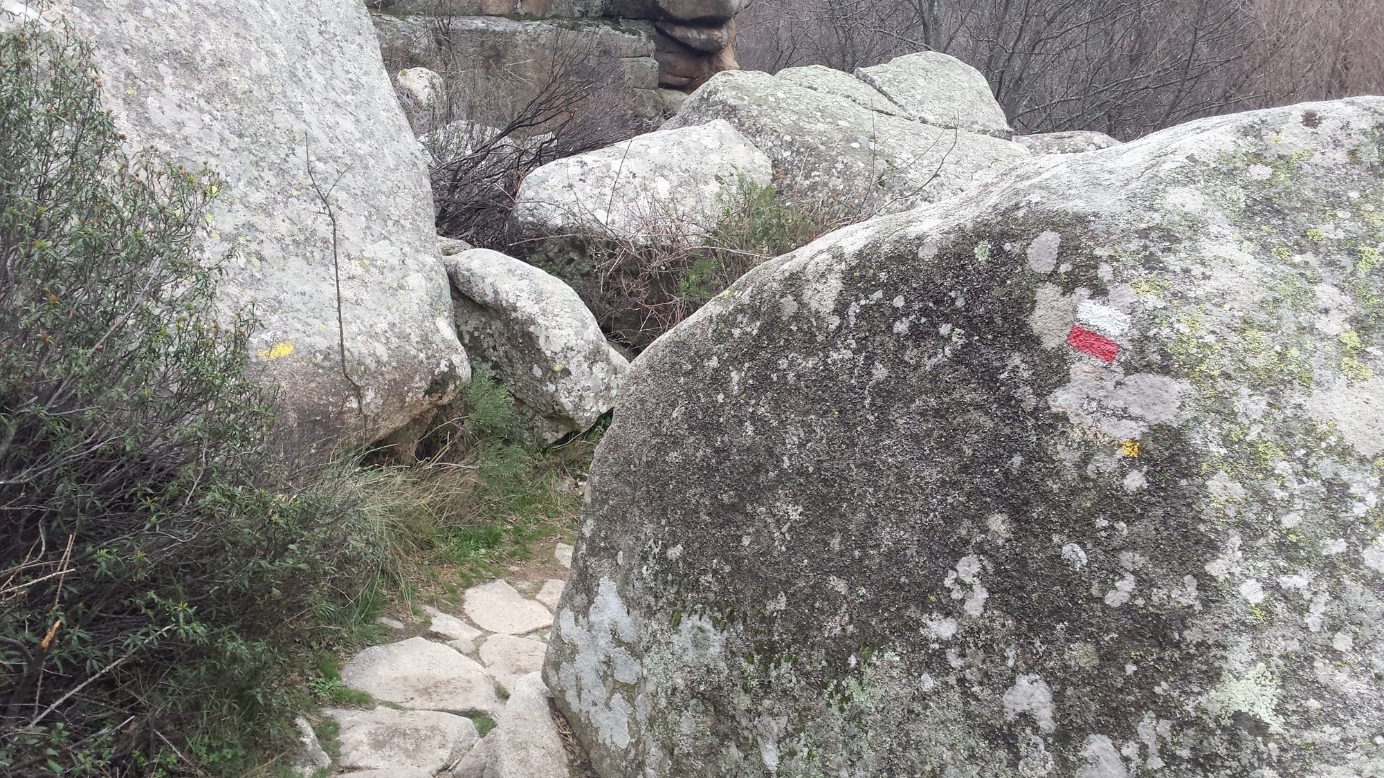
Continuing on from the Yelmo, the path follows a gradual incline until reaching "Las Cuatro Damas" - another set of clearly identifiable rock formations. From there on make a left turn to cross the ridge and follow the rocky path down towards the valley on the north side of the mountain face. This path is marked with white-yellow indications and ends at a clearing near a forest.Segment 3: Collado de la Dehesilla - Canto Cochino
Difficulty: Easy
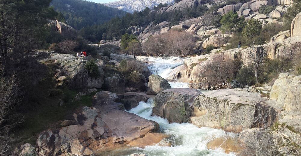
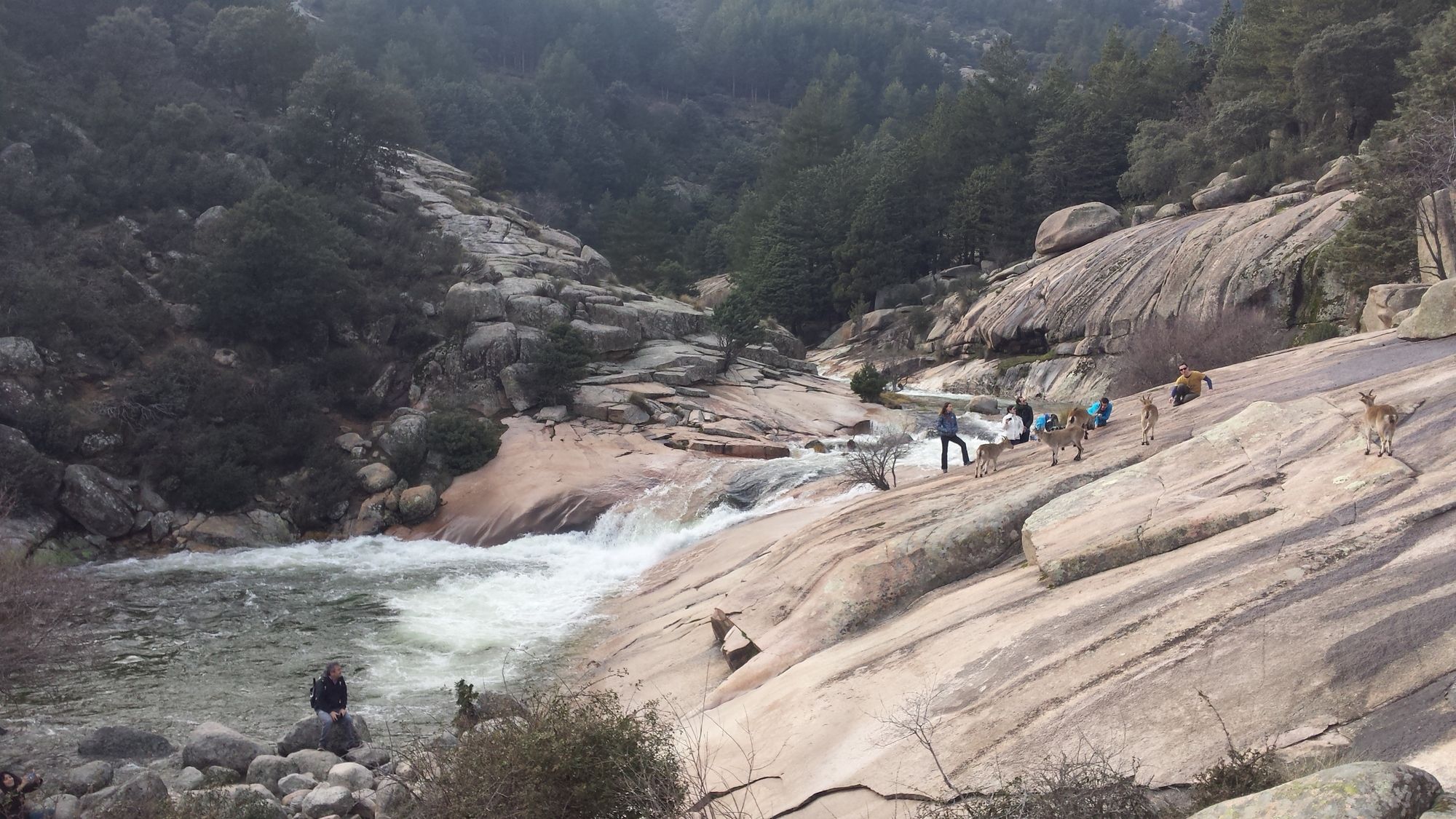
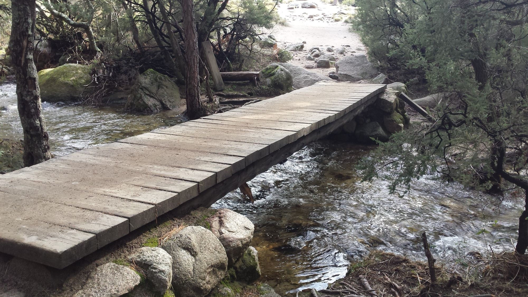
Make a left turn and follow the gradually descending trail down towards the valley. The trail follows the edge of the forest and is accompanied by a small stream. After a while, you will encounter a large free-standing rock and a bit further on a clearing where the GR-10 and PR-M 2 routes meet. From there on out cross the river via a wooden bridge that takes you into the forest. From there on continue to follow the stream on its right-hand side until reaching Canto Cochino. This location is impossible to miss because the stream merges into the much larger Manzanares river. You will also find an info-point as well as a large bridge there.Segment 4: Canto Cochino - Charca Verde
Difficulty: Easy
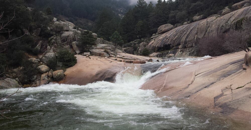
Follow the Manzanares upstream and stay on the right side of the river until reaching the Charca Verde.Segment 5: Charca Verde - Parking lot Manzanares
Difficulty: Easy
Follow the same way back to Canto Cochino. From there on out follow the path marked in white-red which takes you through a rocky gorge back to the parking lot. - Highest point
- 1,605 m
- Parking
-
There are lots of possibilities for parking, however it is advised to arrive early (best before 09:00) as they fill up quickly.


- Source
- Dominik Janisch