Tour data
5.27km
1,914
- 2,179m
461hm
02:00h
- Brief description
-
Wanderung durch das Karren- und Schrattengebiet, sehr schöne Aussicht auf Melchsee-Frutt und die Bergwelt.
- Rating
-
- Starting point
-
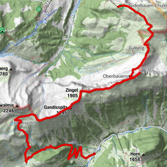
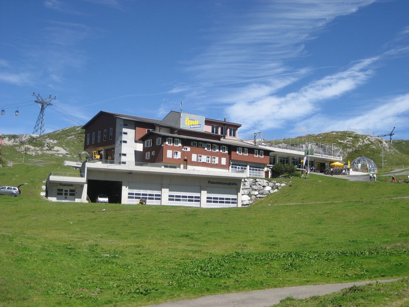
Melchsee-Frutt
- Route
-
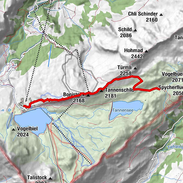
Obere Frutt0.3 kmBonistock (2,160 m)2.0 kmBonistock (2,169 m)2.4 kmTannenschild (2,181 m)2.8 kmTannalp (1,974 m)5.2 km
- Highest point
- 2,179 m
- Rest/Retreat
-
Auf Melchsee-Frutt befinden sich diverse Hotels / Restaurants
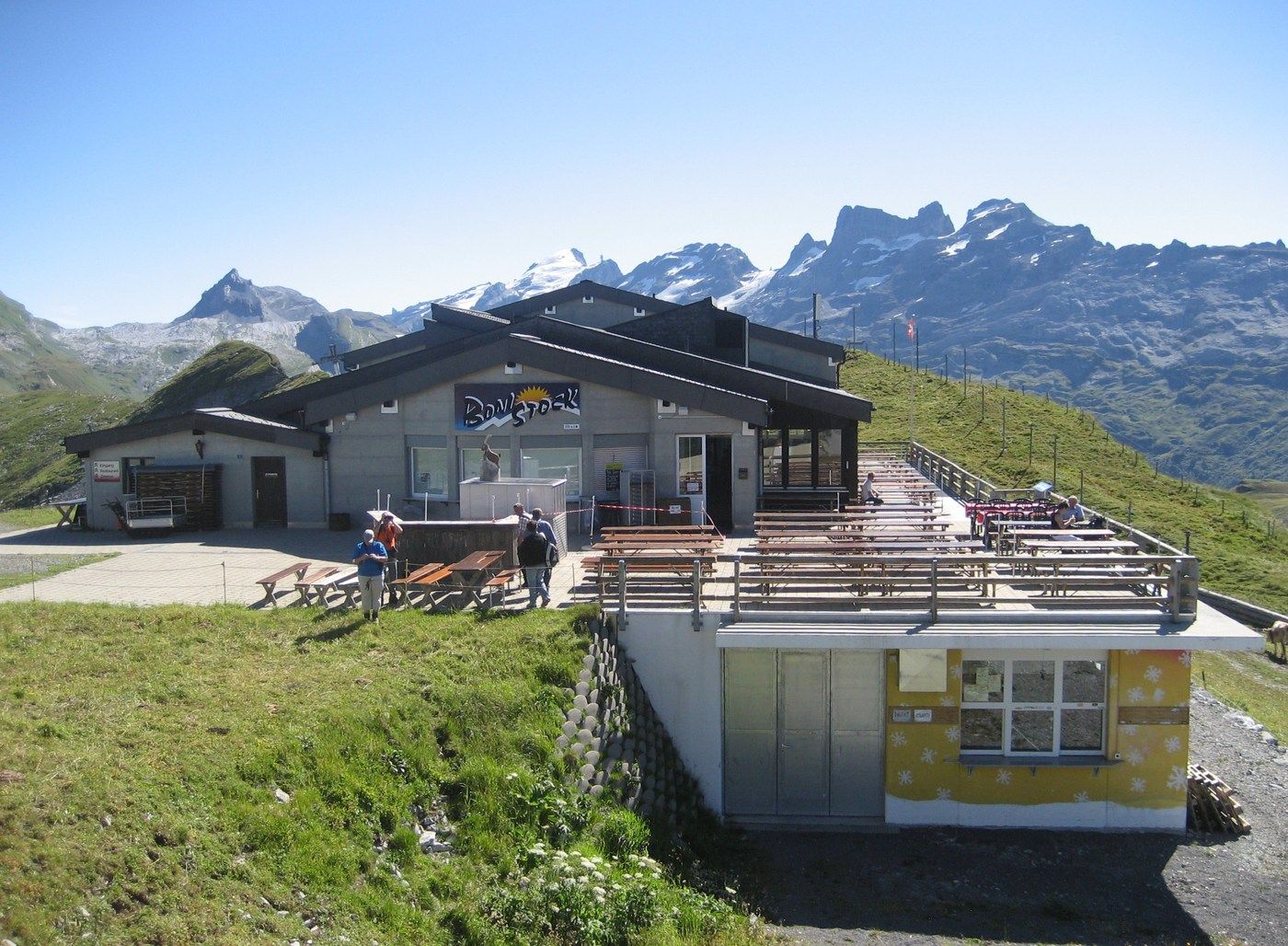
Berghotel Bonistock
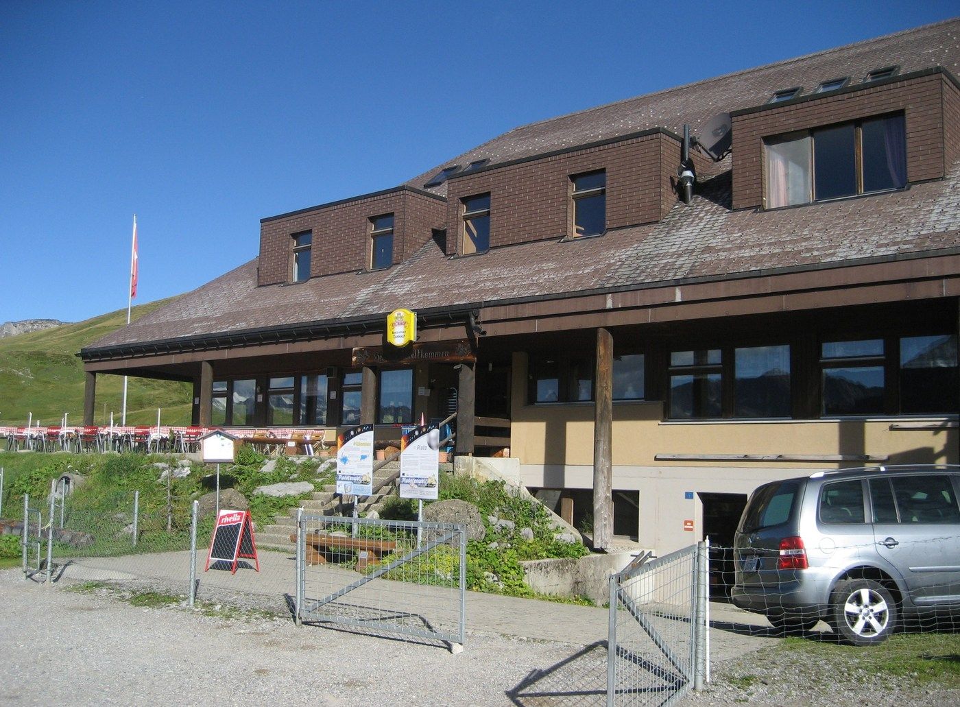
Berggasthaus Tannalp - Ticket material
-
Tourismusbüro Kerns und Melchsee-Frutt
GPS Downloads


Trail conditions
Asphalt
Gravel
Meadow
Forest
Rock
Exposed
Other tours in the regions
-
Obwalden
2027
-
Melchsee - Frutt
863
-
Gadmen
173