© Region Luzern-Vierwaldstättersee - André Burri

- Brief description
-
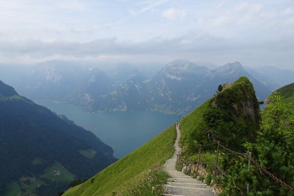
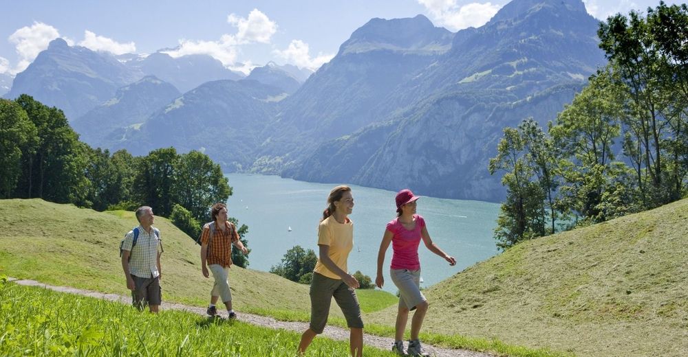
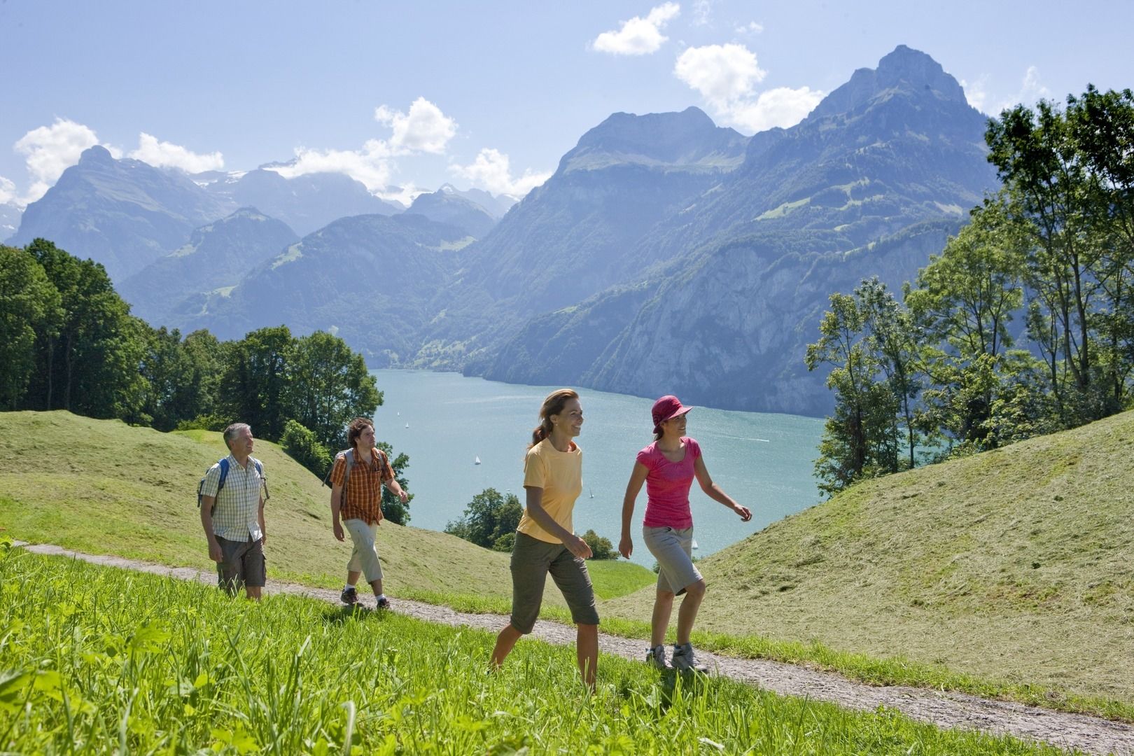
Gemütliche Wanderung vom historischen Rütli entlang des «Weges der Schweiz» zum idyllischen Bauen, begleitet durch kulinarische Spezialitäten aus der Region.
- Difficulty
-
easy
- Rating
-
- Route
-
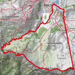
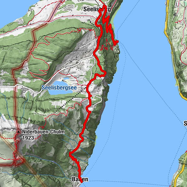
Rütli (435 m)Rütli0.1 kmRütlihaus0.1 kmBuechigstud2.3 kmBreitlohn2.5 kmFurli2.6 kmSeelisberg (801 m)2.7 kmRestaurant Bahnhof2.7 kmSt. Michael3.0 kmSeelisberg3.0 kmSchillerbalkon3.6 kmWallfahrtskapelle Maria Sonnenberg3.7 kmSeelisberg (Oberdorf)3.9 kmTräumli4.3 kmAlte Post9.0 kmZwyssighaus9.0 kmHofstatt9.0 kmKath. Kirche St. Ida9.0 kmFischli am See9.1 kmStützli9.1 kmSchiller Hotel9.1 kmBauen (436 m)9.1 kmIm Dorf9.2 kmBauen (See) (435 m)9.2 km
- Best season
-
JanFebMarAprMayJunJulAugSepOctNovDec
- Highest point
- 867 m
- Endpoint
-
Luzern/Weggis/Vitznau oder Vitznau
- Height profile
-
 © outdooractive.com
- Author
-
The tour Kulinarische Wanderung entlang des «Weges der Schweiz» is used by outdooractive.com provided.
GPS Downloads


General info
Refreshment stop
Cultural/Historical
A lot of view
Other tours in the regions
-
Schwyz
1757
-
Klewenalp-Vierwaldstaettersee
968
-
Seelisberg
424