- Brief description
-
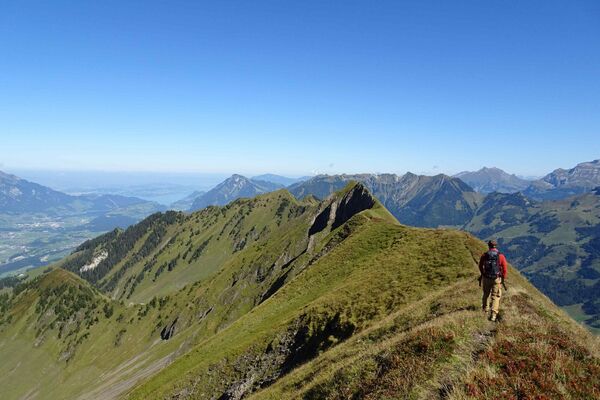
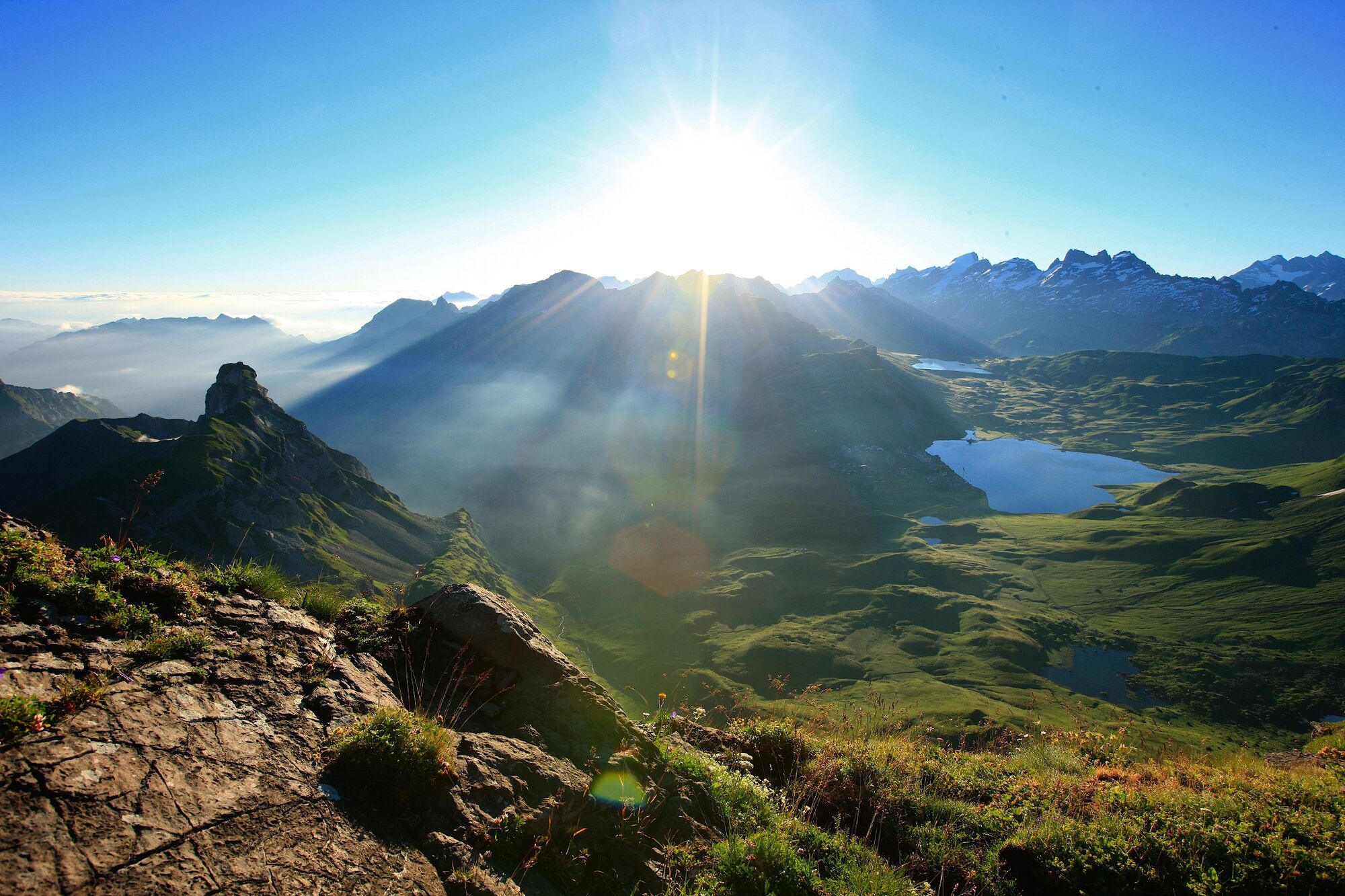
This demanding hike to the geographical centre of Switzerland is rewarded with sensational views.
- Difficulty
-
difficult
- Rating
-
- Starting point
-
Frutt
- Route
-
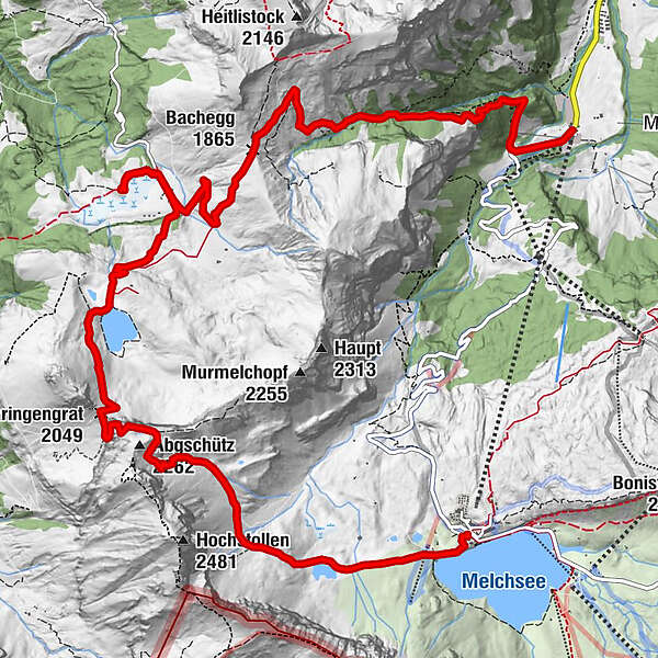
Stäubiloch0.1 kmFuchs- und Hasenbeiz0.3 kmAbgschütz (2,262 m)3.5 kmChringengrat (2,049 m)4.6 kmÄlggi7.2 kmBerggasthaus Aelggialp7.4 kmBachegg (1,865 m)10.2 kmInnenbach10.7 kmStepfen12.7 kmStöckalp (1,080 m)14.4 kmStöckalp (Stepfen)14.5 kmWaldhaus Stöckalp14.5 km
- Best season
-
JanFebMarAprMayJunJulAugSepOctNovDec
- Description
-
From Melchsee-Frutt, you set off for Lake Blau. After a short while, the first ascents begin with views of the intermediate destination, Abgschütz. This lies in the middle of two mountain massifs, the Hochstollen and the Brünighaupt, and is also a vantage point with breathtaking views of the Frutt high plateau, Lake Seefeld and Älggi all the way to Lake Sarnen. The descent from Abgschütz leads along the challenging but well-secured mountain path to Lake Seefeld and on to Älggialp. A detour to the geographical centre of Switzerland is recommended. A stone boundary forms the outline of Switzerland and the Swiss of the Year are immortalised on the memorial stone near the pyramid. You then return uphill to Bachegg, continue across alpine meadows to the hamlet of Innenbach and over Alp Stepfen to Stöckalp.
Alternative: descend from Abgschütz (point 2167) via the Europe Ladder to Lake Seefeld (climbing harness and safety equipment required).
- Highest point
- 2,226 m
- Endpoint
-
Stöckalp
- Height profile
-
 © outdooractive.com
-

-
AuthorThe tour Hike: Melchsee-Frutt - Älggialp - Stöckalp is used by outdooractive.com provided.
GPS Downloads


General info
Cultural/Historical
Other tours in the regions
-
Obwalden
2018
-
Melchsee - Frutt
861
-
Sachseln
222