- Brief description
-
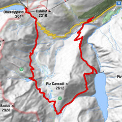
Leisurely valley hike along the railroad line. T1
- Difficulty
-
easy
- Rating
-
- Route
-
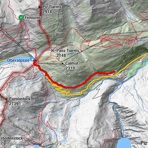
Piz CalmotGasthaus Piz Calmot0.2 kmTschamut3.5 km
- Best season
-
JanFebMarAprMayJunJulAugSepOctNovDec
- Description
-
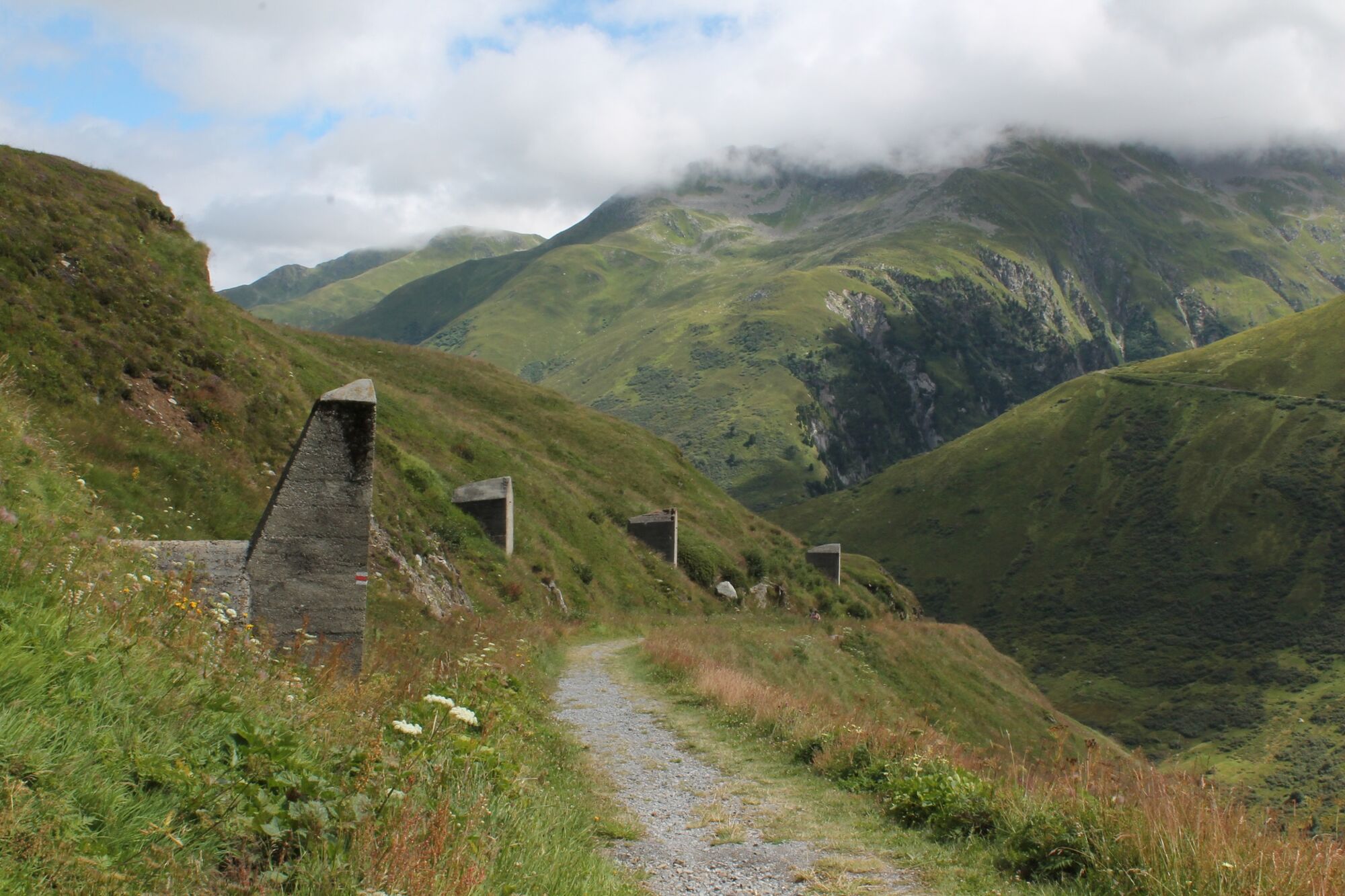
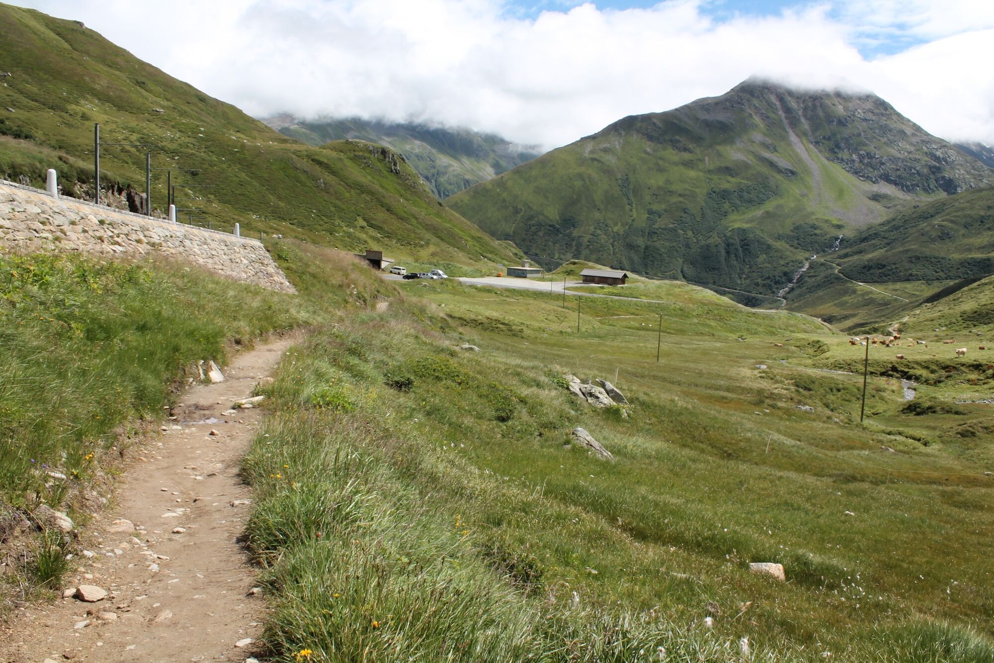
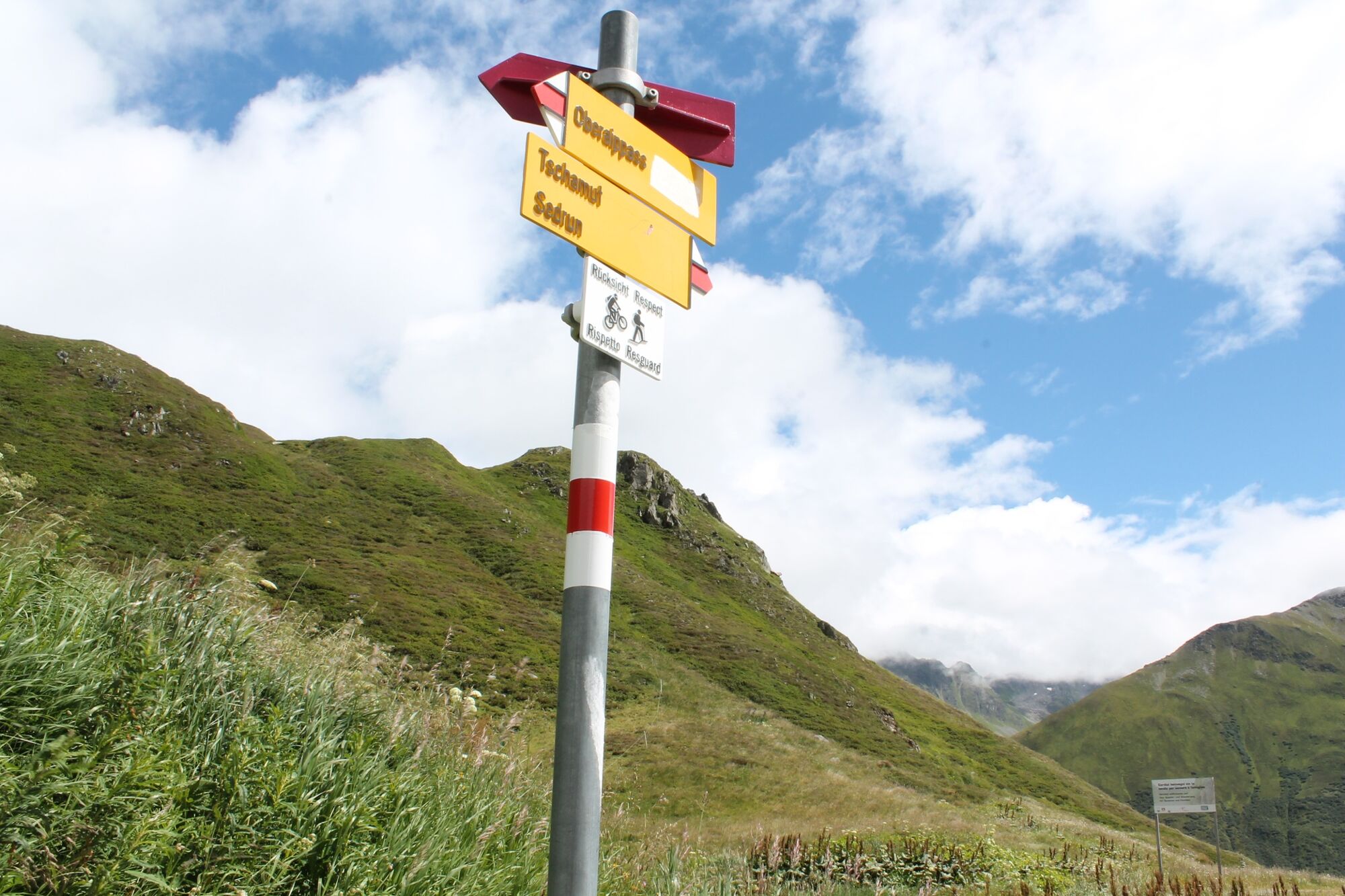
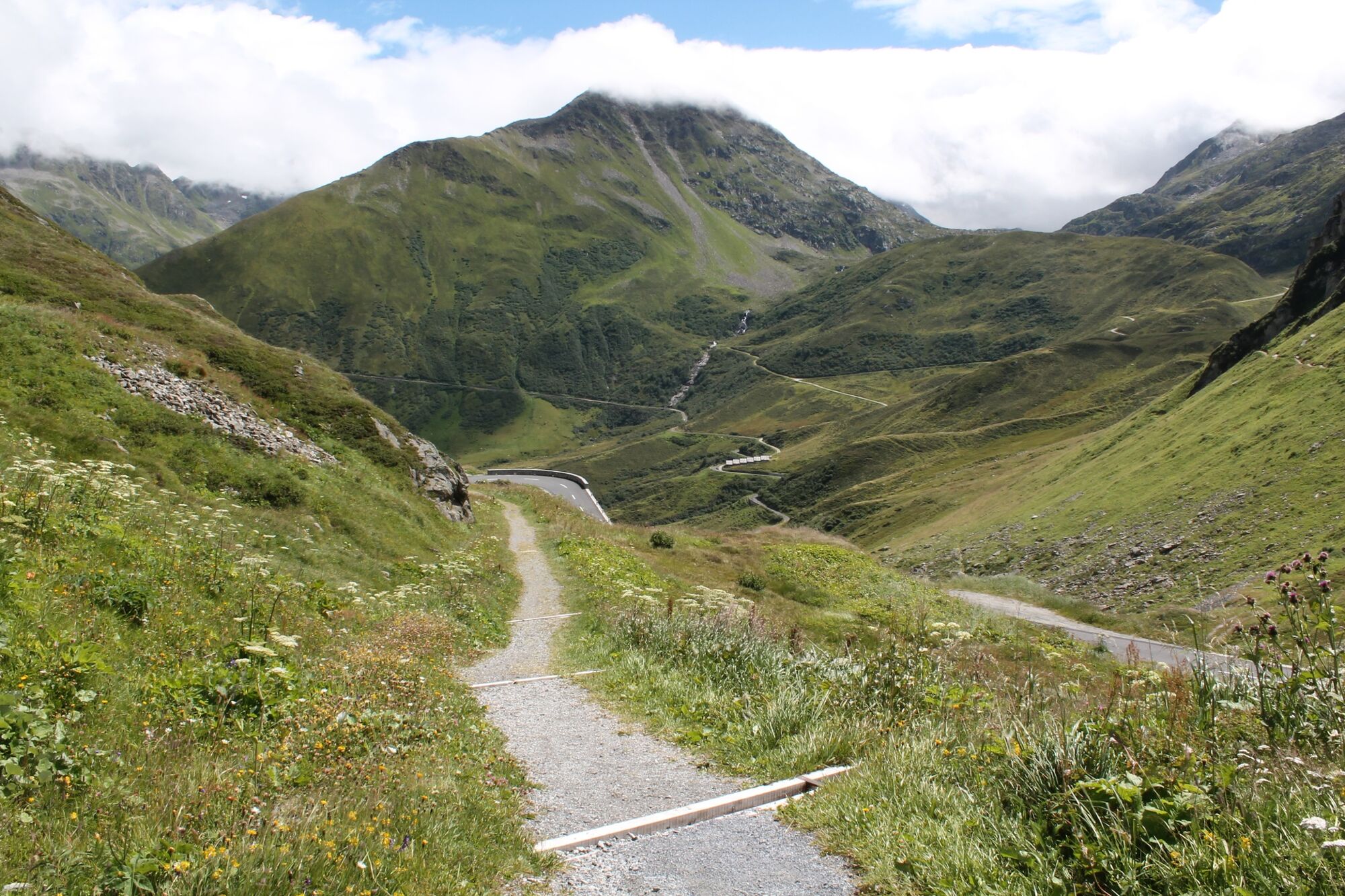
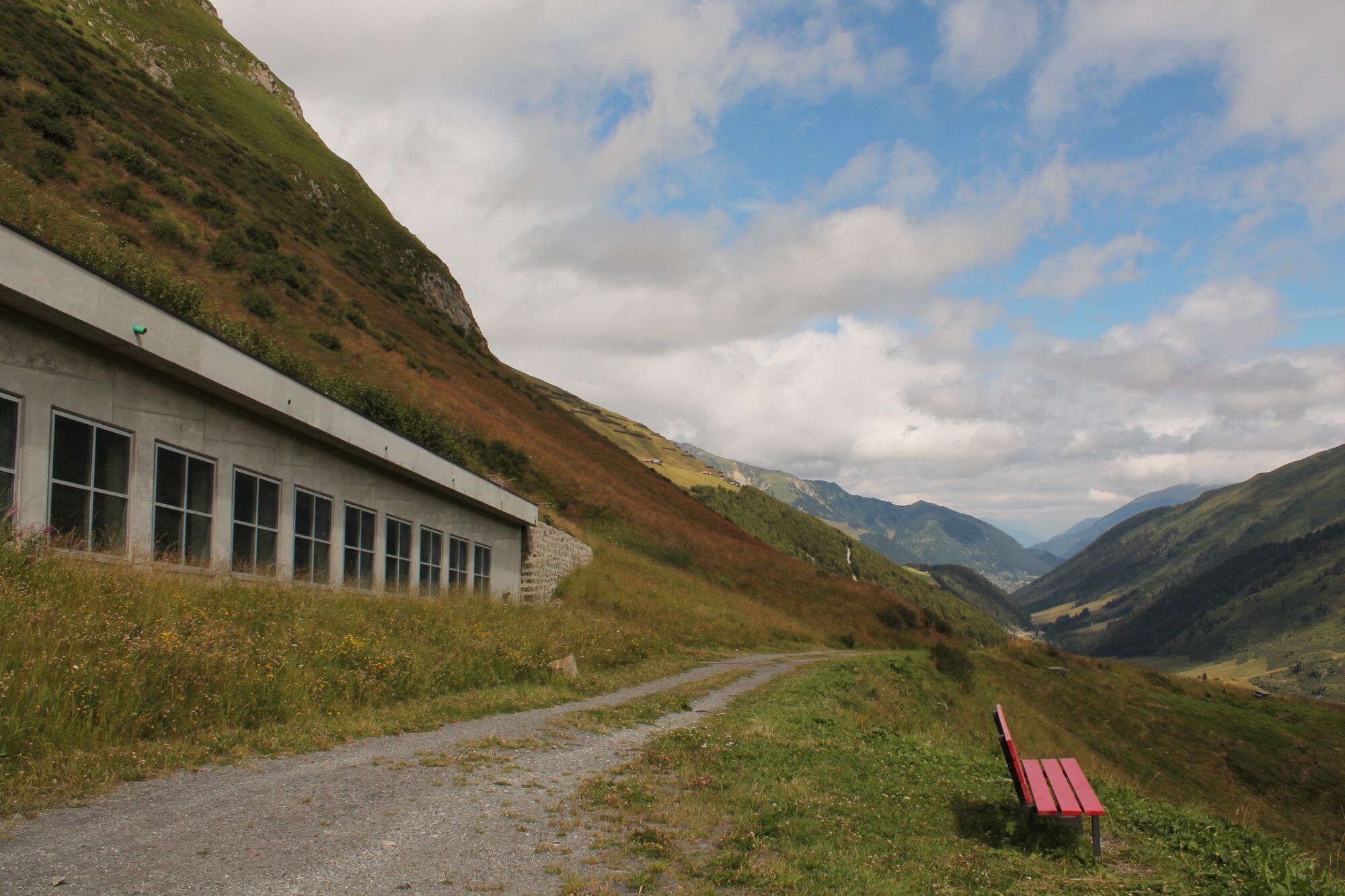
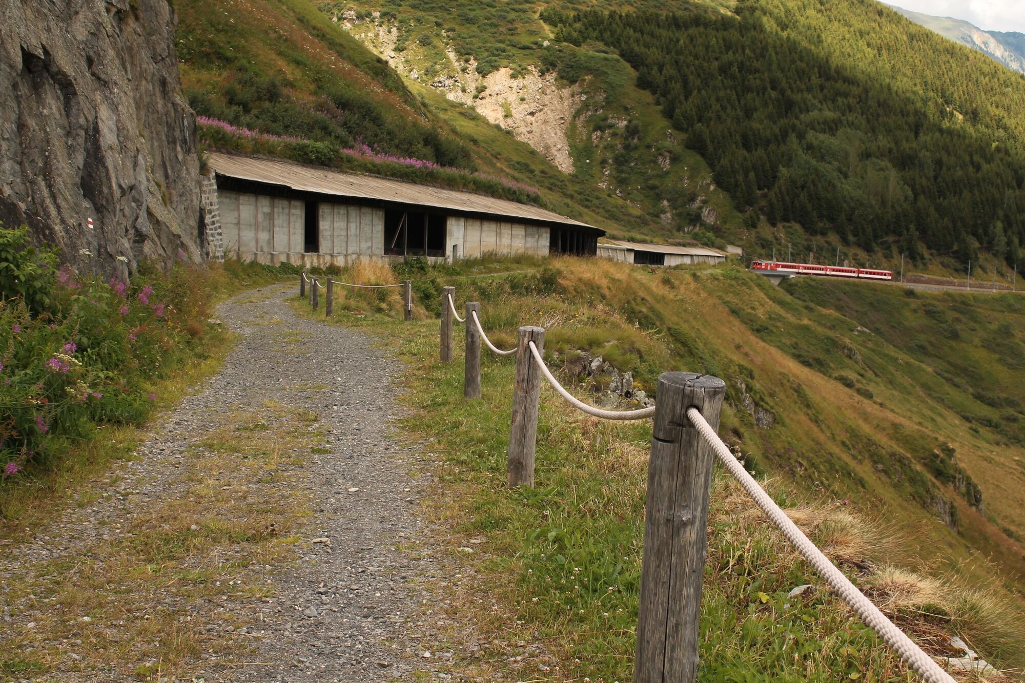
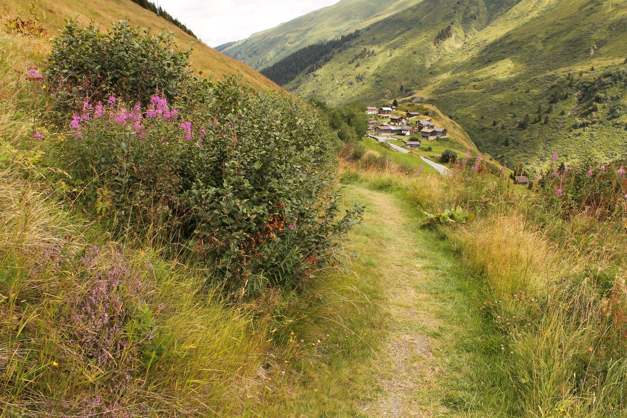
We start our hiking trip with a train ride to the Oberalp Pass. We are greeted by the lighthouse, the former front light of Hoek van Holland, which served at the mouth of the Rhine at the other end of the Rhine for 70 years. Our path starts right there and we walk along the pass road downhill. After crossing the road, we find ourselves on the former railroad track of the Matterhorn Gotthard Bahn, which used to run openly around the flank of Piz Calmot. Today, however, the railroad disappears for the most part in a tunnel, a little later in a half-open gallery. If it suddenly hums and rumbles: don't be alarmed! There is a train on the way. In July we walk in an alpine flower garden that delights: Turk's cap, paradise and fire lilies, orchids or alpine roses.
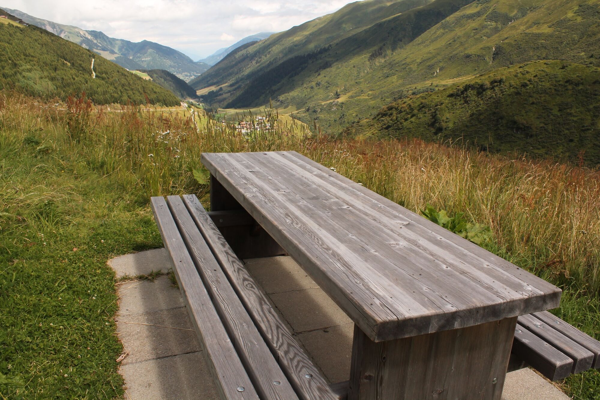
Halfway we reach a picnic area on the right with a view of the valley. A little later, where the train leaves the tunnel again, we cross a rushing mountain stream on the train viaduct, after which we reach the stop directly on a newly built hiking trail.
In Tschamut the restaurant Rheinquelle is closed.
- Highest point
- 2,042 m
- Endpoint
-
Tschamut
- Height profile
-
 © outdooractive.com
-

-
AuthorThe tour Short hike Oberalppass - Tschamut is used by outdooractive.com provided.