
- Brief description
-
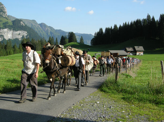
Where the traders once brought cheese to Italian markets and exchanged it for wine, corn, rice, spices and cloth and returned to the mountain valleys, we discover impressive cultures and unique cultural landscapes.
From the shores of Lake Lucerne up to the Engelberg mountain valley. On the way we discover several cultural-historical sights, like the centre of Stans, the monastic Sust of Grafenort and the monastery Engelberg. - Difficulty
-
medium
- Rating
-
- Starting point
-
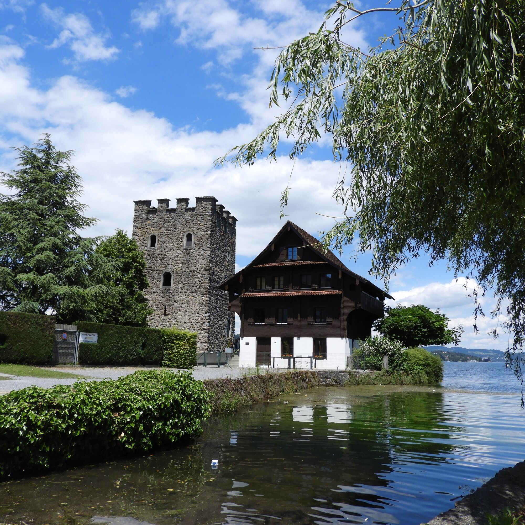
Stansstad
- Route
-
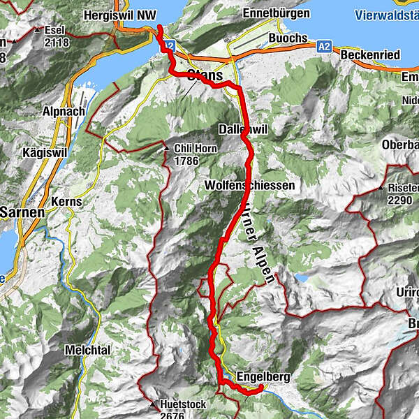
Stansstad (See) (438 m)0.0 kmStansstad (436 m)0.2 kmStansstad (438 m)0.3 kmOeli1.9 kmLourdesgrotte2.4 kmRotzberghostatt2.9 kmSt.-Josefs-Kapelle3.3 kmBeinhauskapelle4.7 kmSt. Peter und Paul4.7 kmÖlbergkapelle4.7 kmStans (452 m)4.7 kmKapuzinerkirche5.0 kmSt.-Heinrich-Kapelle5.7 kmOberdorf6.0 kmDallenwil (486 m)9.1 kmDallenwil (545 m)9.2 kmZum Kreuz9.3 kmUfgändacher10.7 kmStrass10.9 kmMaienriesli11.4 kmWolfenschiessen (510 m)12.4 kmBrigg12.8 kmBrunnifeld12.9 kmMittler Fallenbach14.6 kmGrossfallenbach14.9 kmBannerlen15.1 kmMünchmatt15.2 kmChlifallenbach15.5 kmTöbeli16.5 kmTalstation Obermatt20.6 kmTalstation Obermatt21.1 kmÖrtigen24.3 kmEngelberg (1,000 m)26.3 km
- Best season
-
JanFebMarAprMayJunJulAugSepOctNovDec
- Description
-
The Via Sbrienz starts from the Stansstad ship station. From there the route leads to Stansstad railway station. There we pass under the railway line and the motorway and reach the lakeside promenade to Alpnachersee. From there we take the path to the left through residential quarters towards Rotzberg, along the woods. We continue along the meadow path to Hostatt and Löwengrube. Here the path crosses the main road to Allweg.
Stans - Dallenwil
From the St. Joseph Chapel we take the path slightly uphill to the outskirts of Stans and through old lanes to the historic village square. We continue past the monastery to Oberdorf to the St. Heinrich Chapel.
In Oberdorf we cross the mountain road Huob and follow the meadow path past farms to the wood processing area Geren. Then along the railway line to the old village road, which leads to the village of Dallenwil.Dallenwil - Wolfenschiessen
At Dallenwil with the many restaurants we take the way past an old arch bridge over the Engelbergeraa. Through the gate of a historic sawmill and along the Engelbergeraa we continue to Wolfenschiessen and Grafenort.
Before Wolfenschiessen you can cross the Engelbergeraa and march through the village. At the end of the village, a historic wooden bridge leads back to the other side of the river and on towards Grafenort. The trail leads past Hechhuis and an old stone bridge and small cable cars to Grafenort.Grafenort - Engelberg
In Grafenort we cross the Engelbergeraa over the curved wooden bridge. Straight ahead and past the manor house we arrive at Gasthaus Grafenort, but the path leads along the Engelbergeraa through wooded area to Obermatt and on to Engelberg.
The trail is well signposted as far as the monastery village of Engelberg. Crossing the Aaschlucht gorge is a special nature experience. - Directions
-
Stansstad – Stans – Dallenwil – Wolfenschiessen – Grafenort – Engelberg
- Highest point
- 1,003 m
- Endpoint
-
Engelberg
- Height profile
-
 © outdooractive.com
 - Tips
-
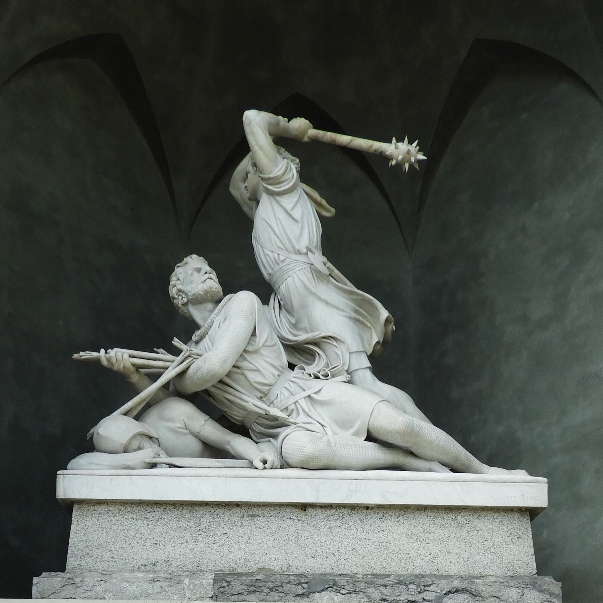
Stans offers a historic village centre. We allow some time to visit the sights like the Winkelried Monument, the Schmiedgasse as well as the museums Salzmagazin or Winkelriedhaus.
- Additional information
- Directions
- Public transportation
-

-
AuthorThe tour Via Sbrinz Stansstad - Engelberg is used by outdooractive.com provided.