© Ferienregion Andermatt - Valentin Luthiger


© Ferienregion Andermatt - Andermatt-Urserntal Tourismus GmbH

© Ferienregion Andermatt - Andermatt-Urserntal Tourismus GmbH

© Ferienregion Andermatt - Andermatt-Urserntal Tourismus GmbH

© Ferienregion Andermatt - Andermatt-Urserntal Tourismus GmbH

- Brief description
-
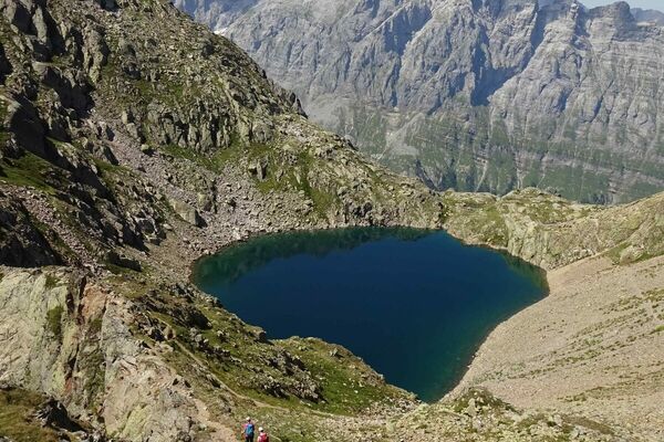
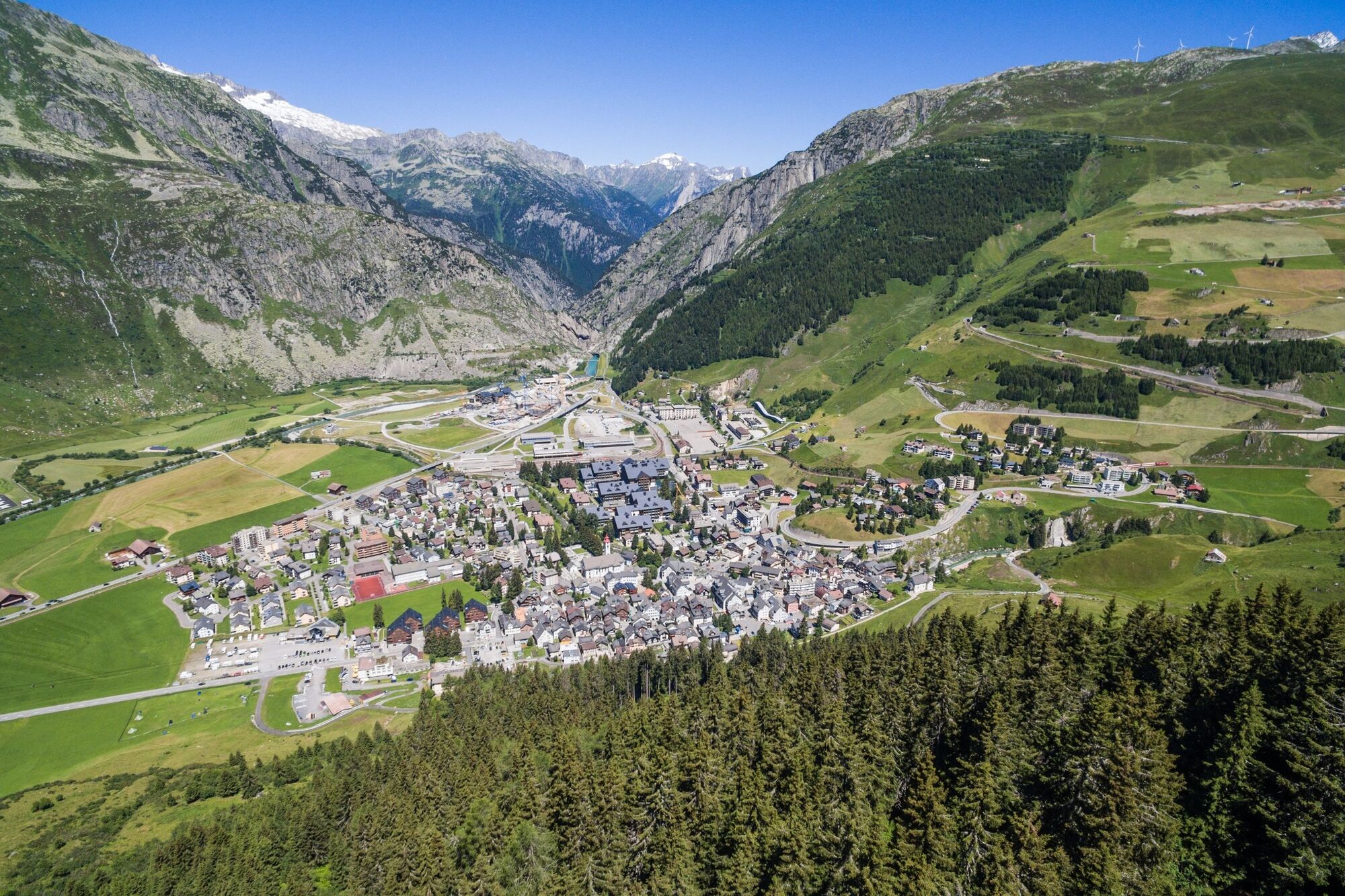
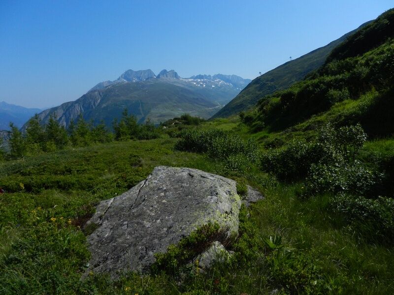
Die Wanderung von Andermatt zum Gigenstafel und zum St.-Anna-Schutzwald in Hospental gewährt nicht nur traumhafte Ausblicke: Man wird auch mit intensiver Energie belohnt.
- Difficulty
-
medium
- Rating
-
- Route
-
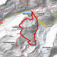
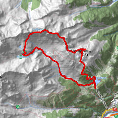
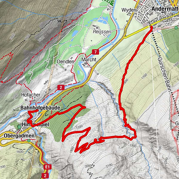
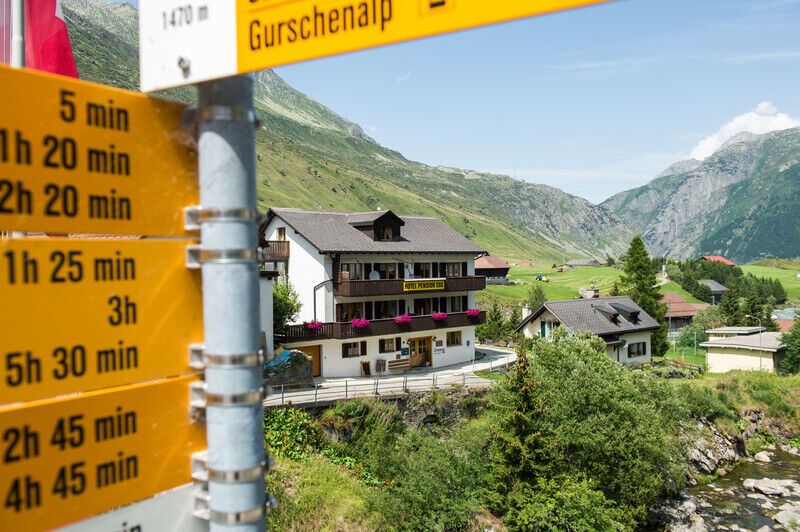
Andermatt (1,447 m)Güetli6.0 kmHimmelbiel6.0 kmHospental (1,493 m)6.2 kmKath. Kirche Mariä Himmelfahrt6.3 kmBahnhofgebäude6.5 kmHospental (1,452 m)6.6 km
- Best season
-
JanFebMarAprMayJunJulAugSepOctNovDec
- Highest point
- 1,893 m
- Endpoint
-
Bahnhof Hospental
- Height profile
-
 © outdooractive.com


- Author
-
The tour Gigenstafel is used by outdooractive.com provided.
GPS Downloads


General info
Cultural/Historical
A lot of view