- Difficulty
-
easy
- Rating
-
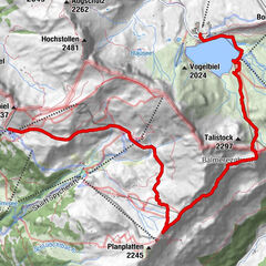
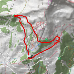
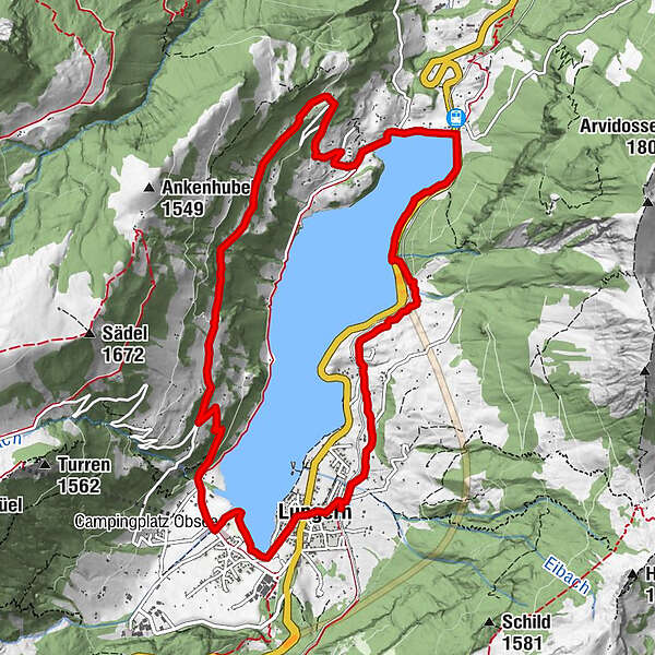
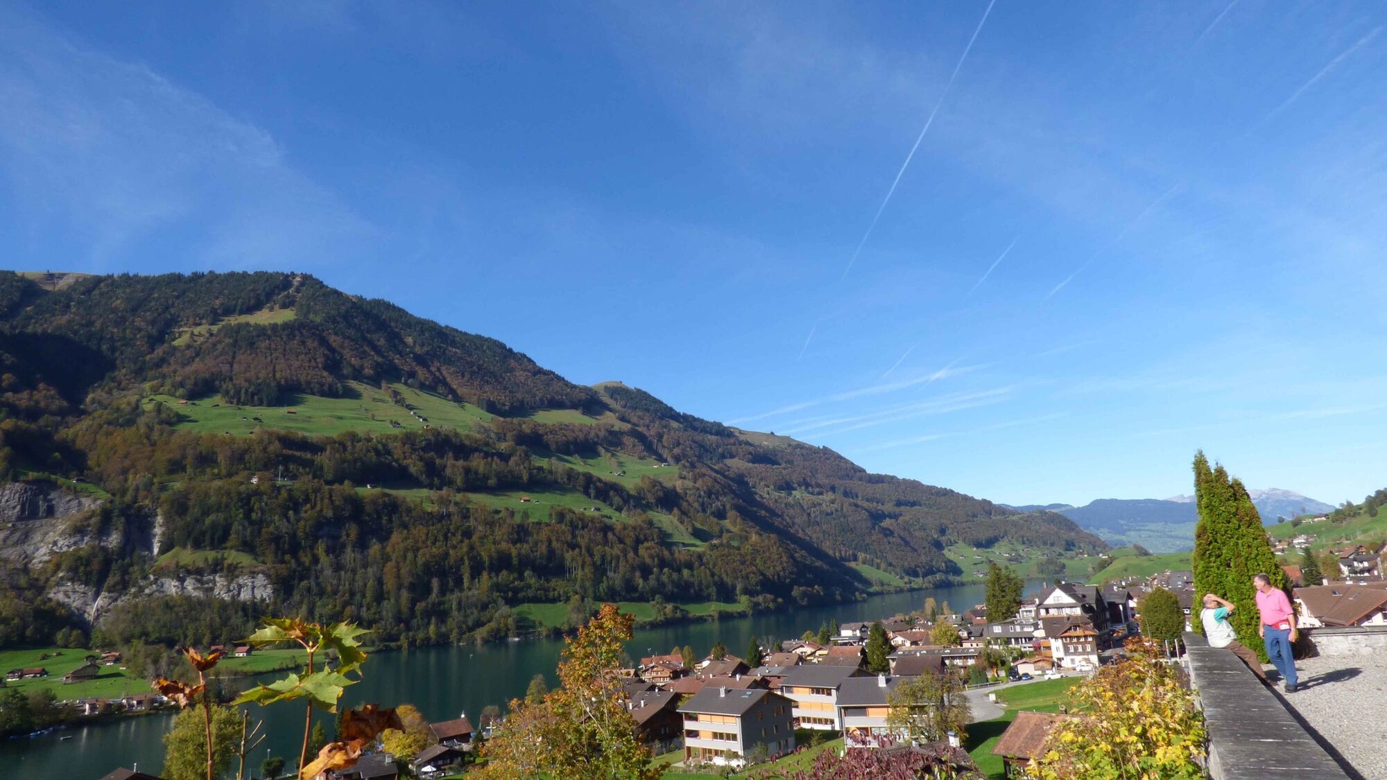
- Route
-
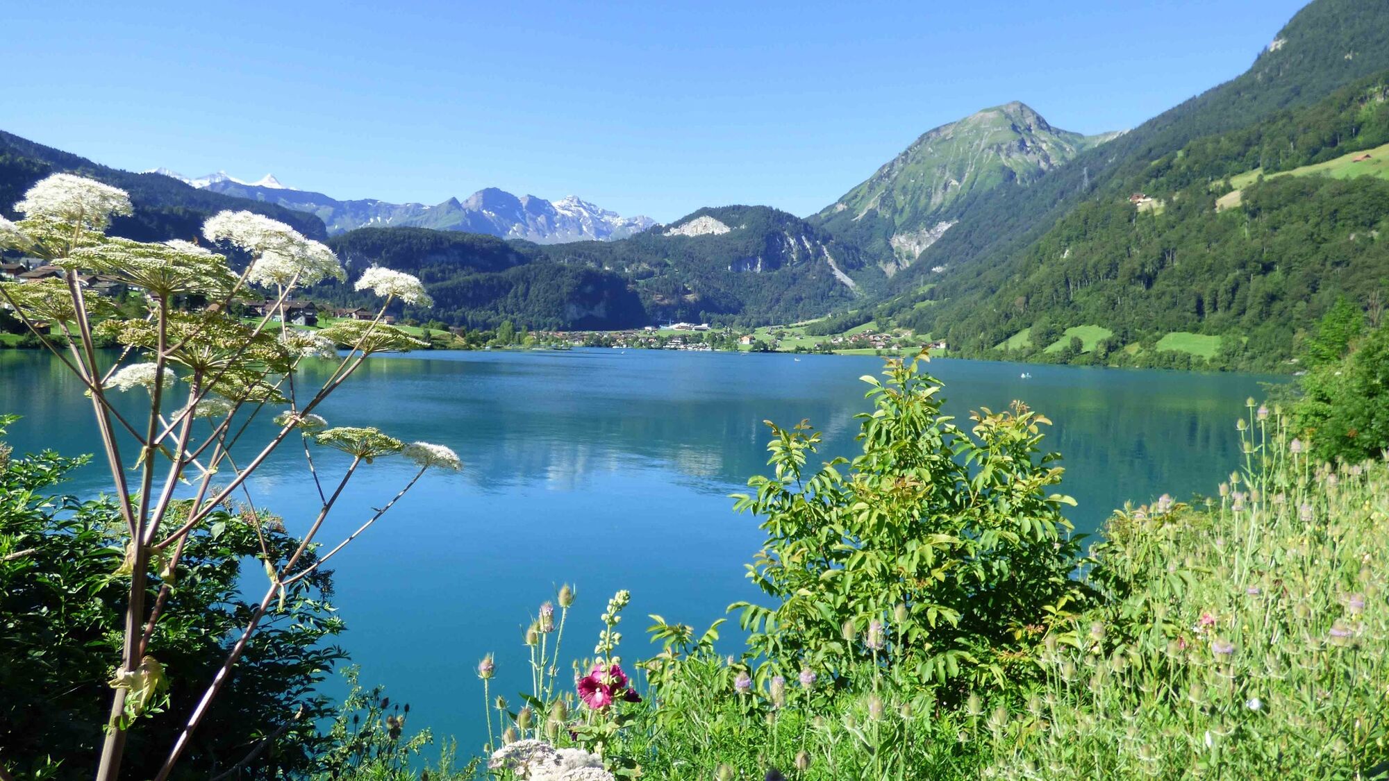
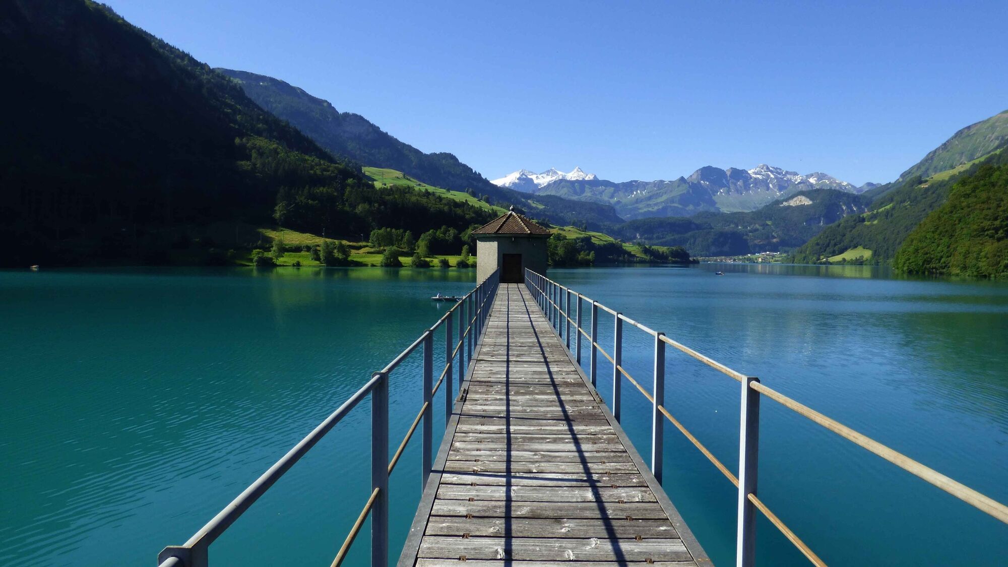
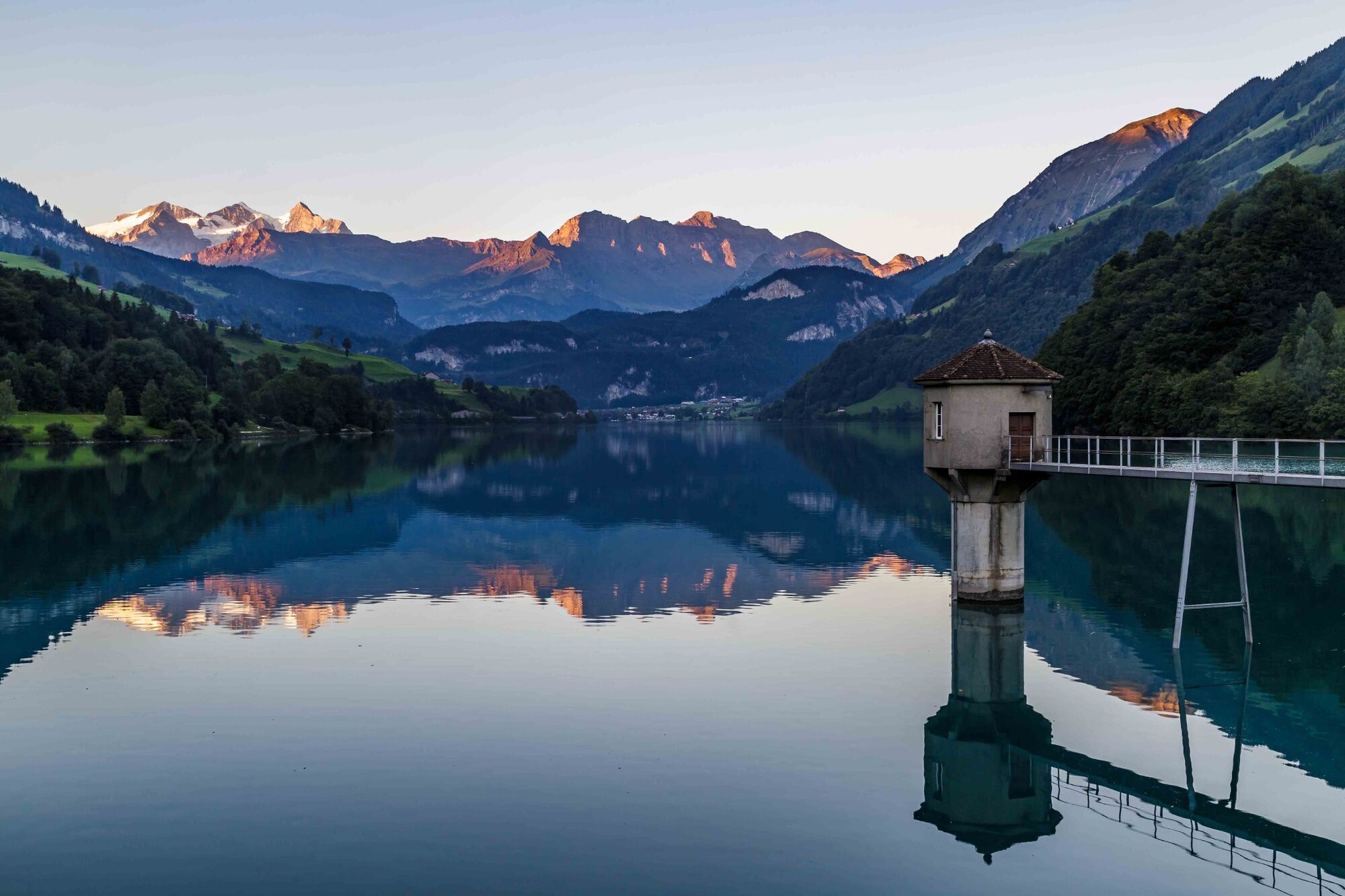
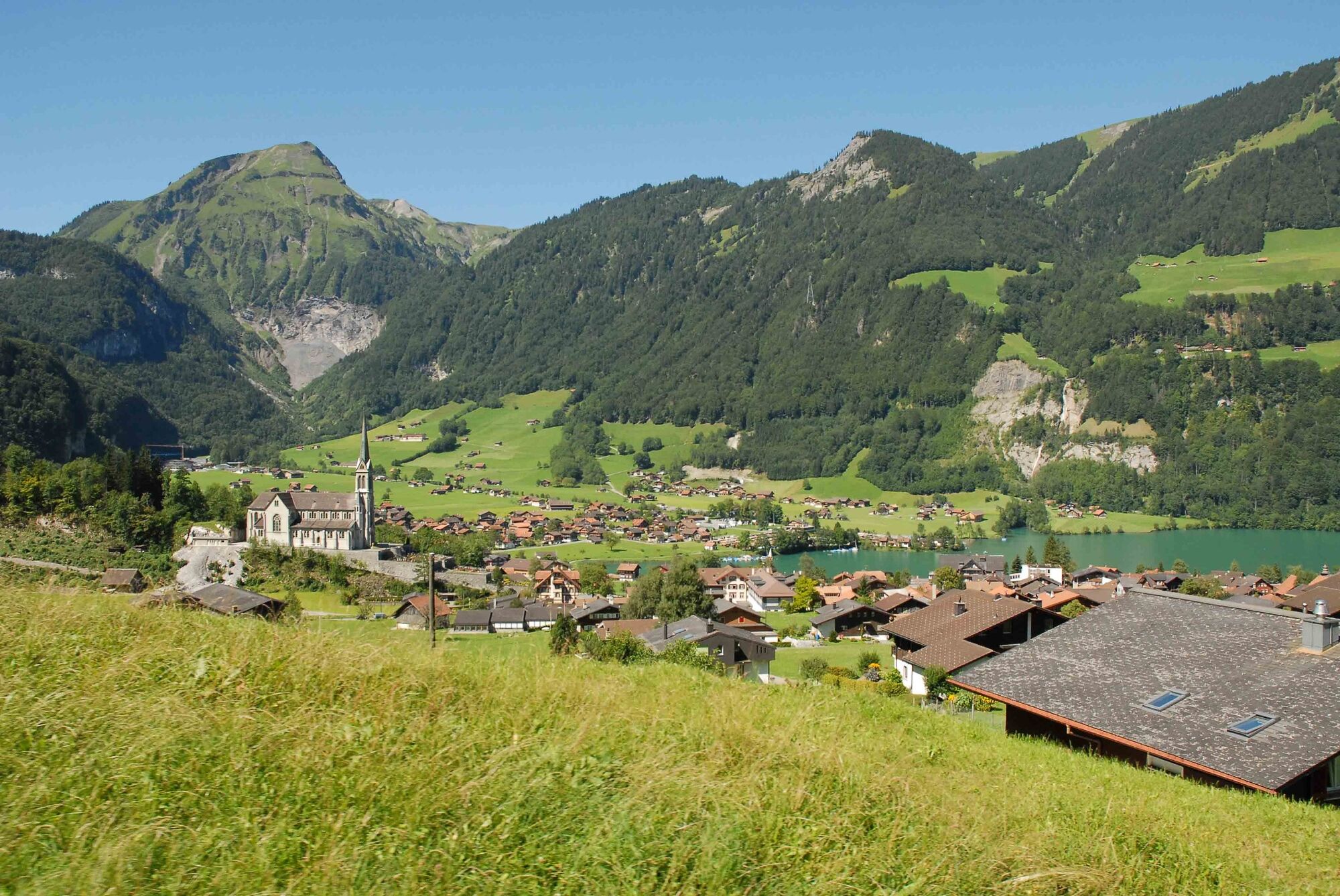
LungernBahnhöfli0.0 kmRestaurant Kaiserstuhl3.8 kmKapelle Bürglen4.7 kmDorfkapelle11.5 kmLungern11.7 kmBahnhöfli11.9 kmLungern12.0 km
- Best season
-
JanFebMarAprMayJunJulAugSepOctNovDec
- Highest point
- 1,023 m
- Height profile
-
 © outdooractive.com

-

-
AuthorThe tour Findlingsweg is used by outdooractive.com provided.
GPS Downloads


Other tours in the regions
-
Obwalden
2032
-
Haslital
900
-
Lungern - Schönbüel
243