- Brief description
-
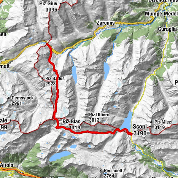
Sporty hikers can also do this tour in one day - connoisseurs can spend a night in the Capanna Cadlimo. T3
- Difficulty
-
medium
- Rating
-
- Starting point
-
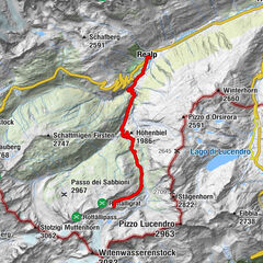
Oberalppass
- Route
-
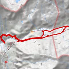
Gasthaus Piz Calmot0.1 kmBocchetta di Cadlimo (2,534 m)12.6 kmHospezi S. Maria22.6 km
- Best season
-
JanFebMarAprMayJunJulAugSepOctNovDec
- Description
-
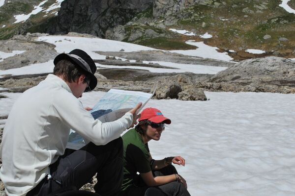
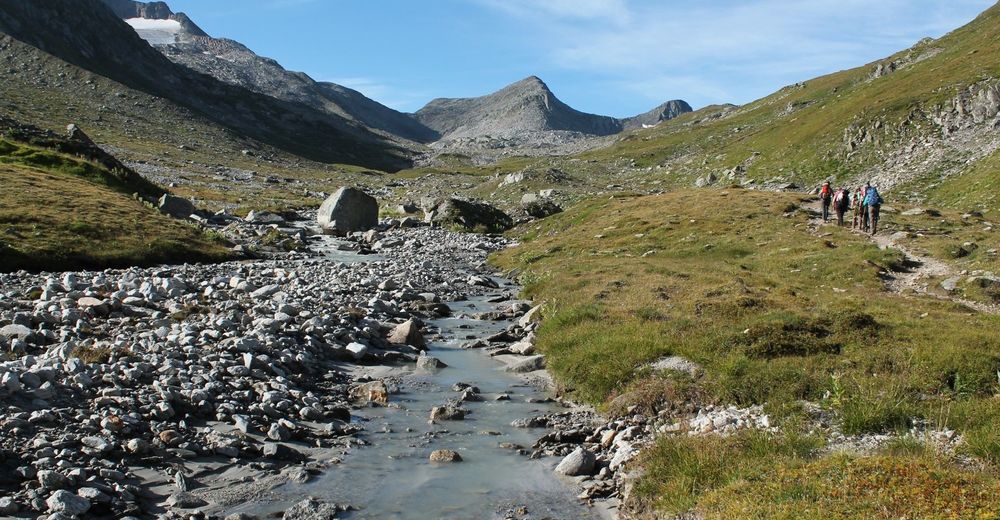
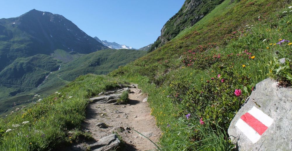
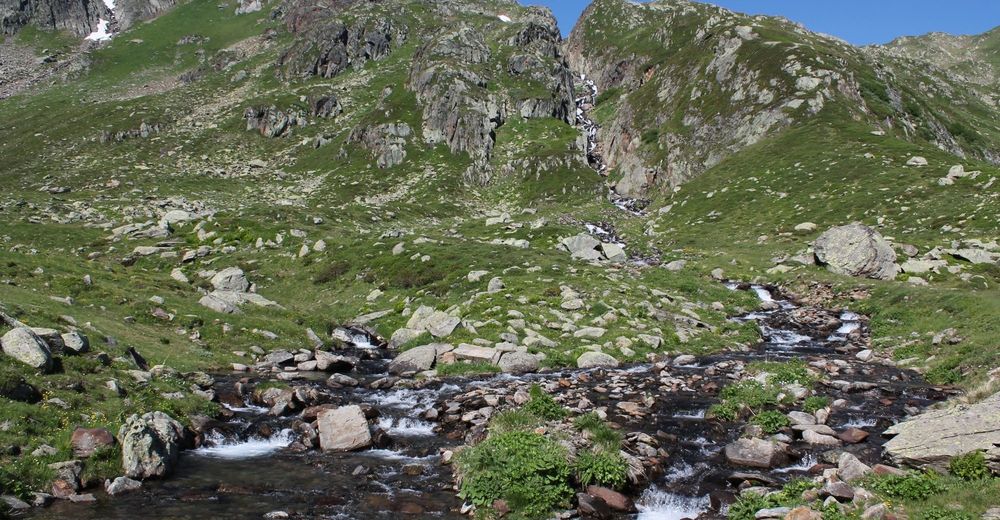
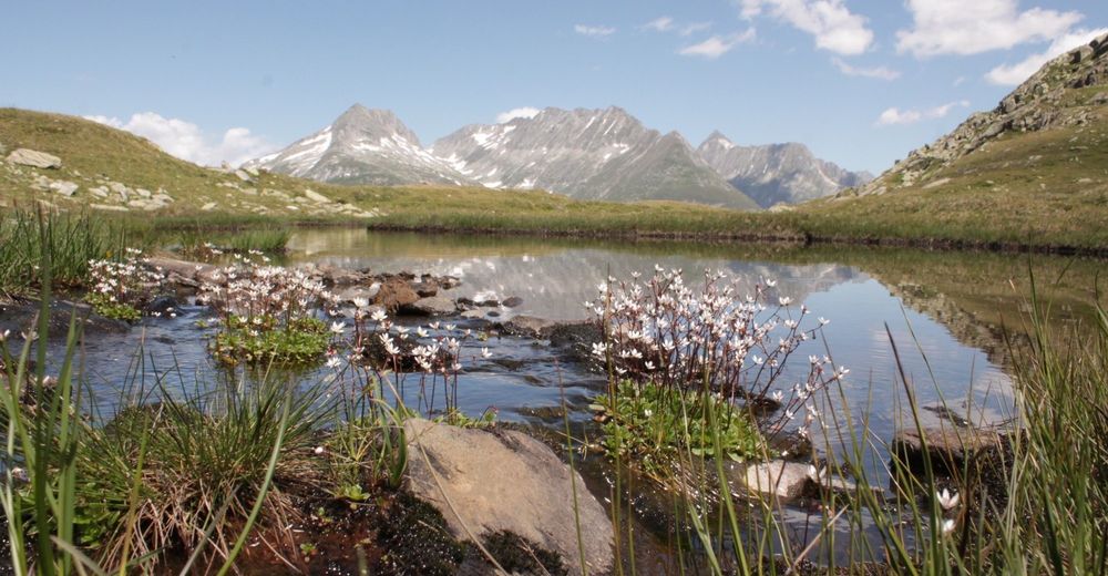
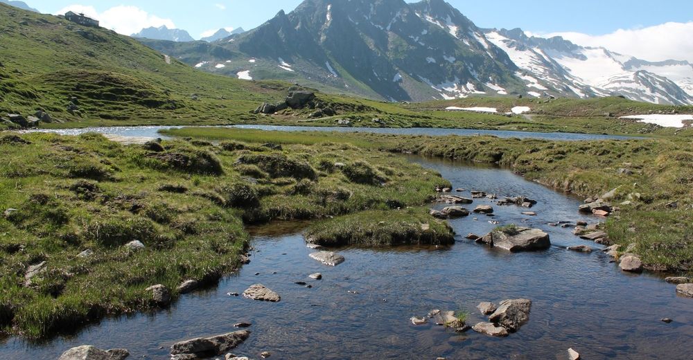
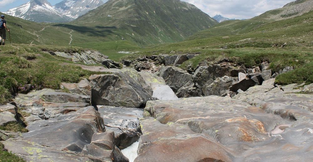
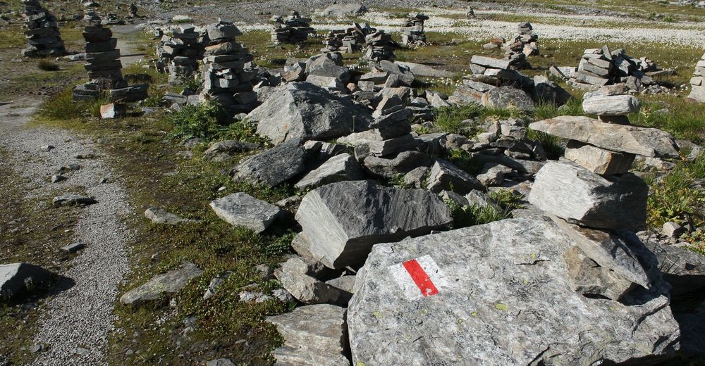
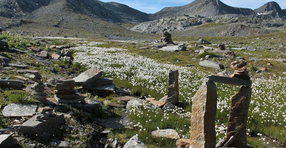
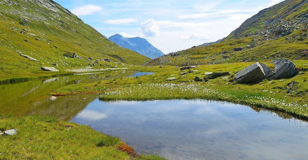
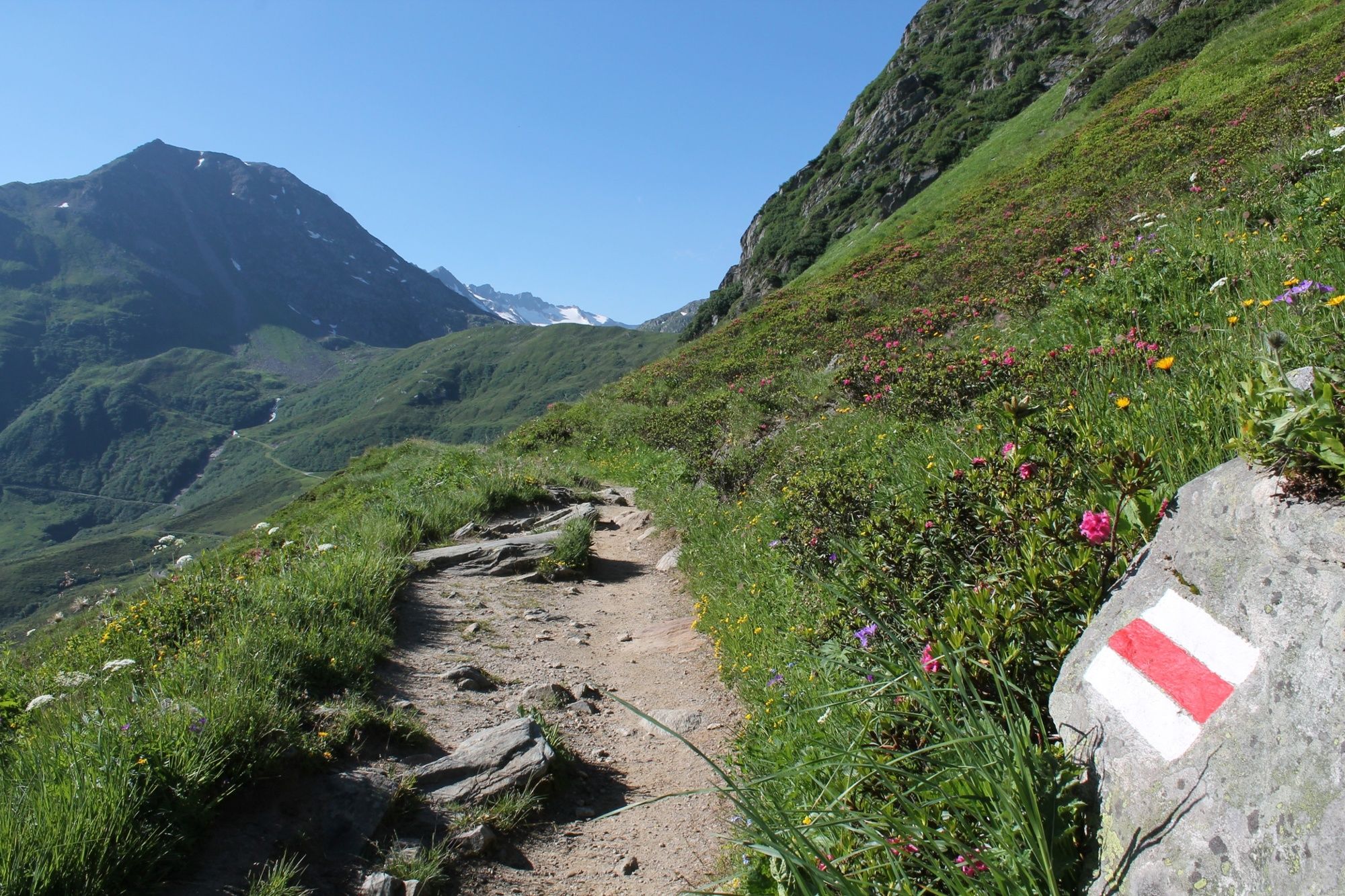
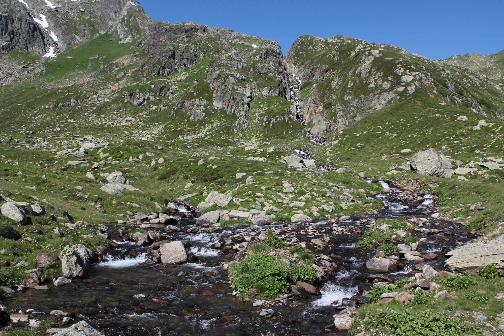
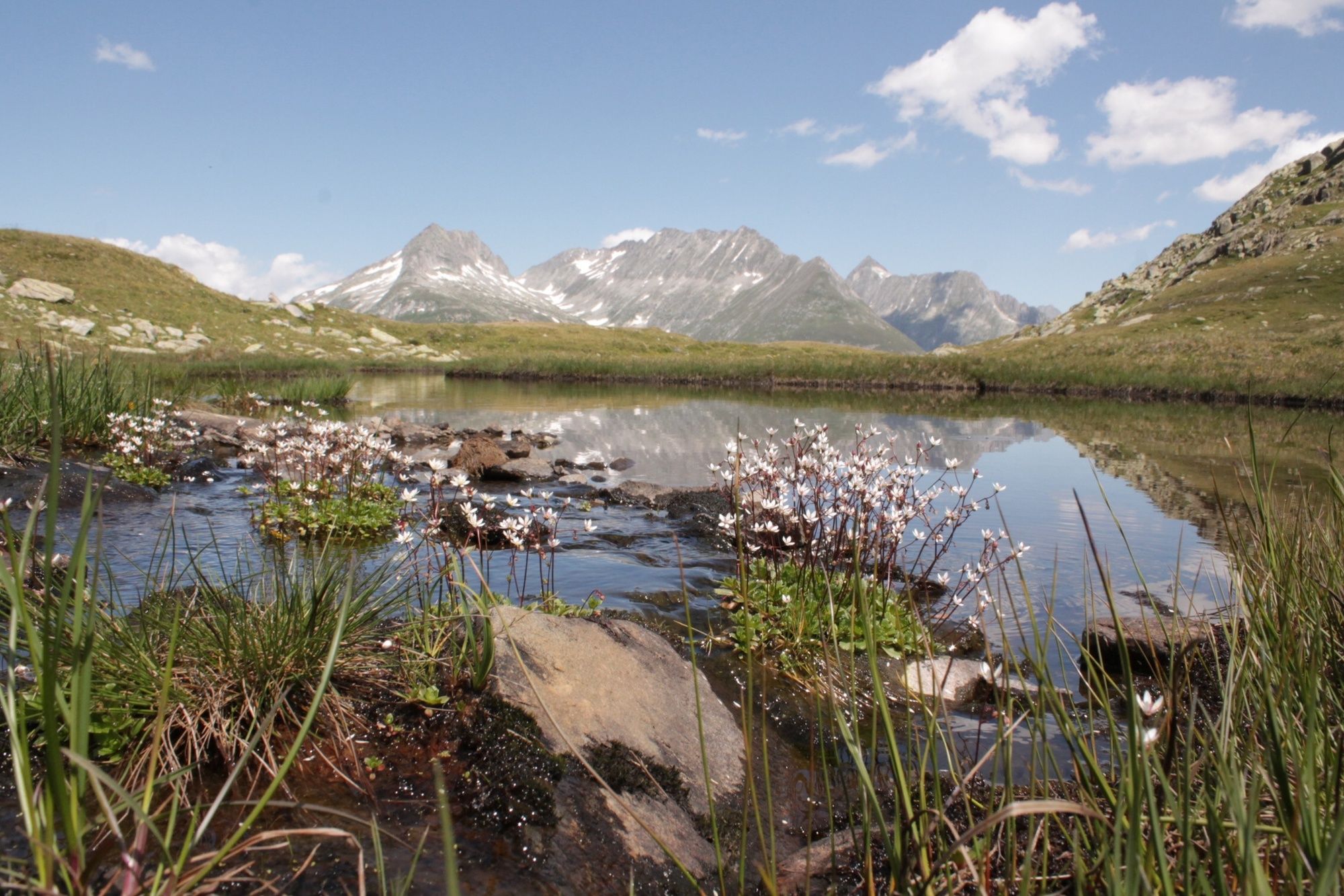
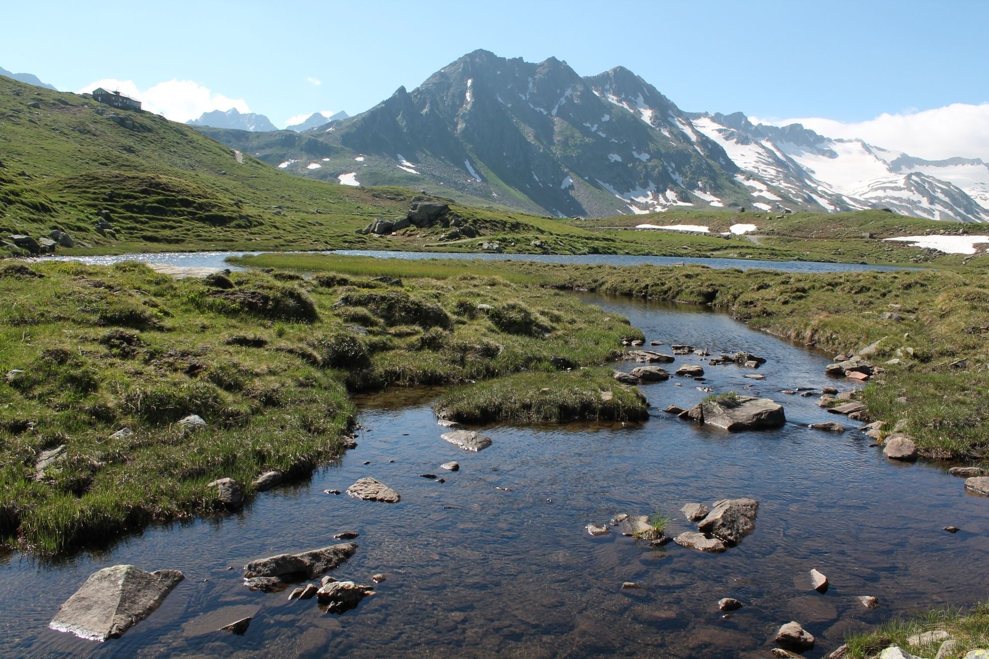
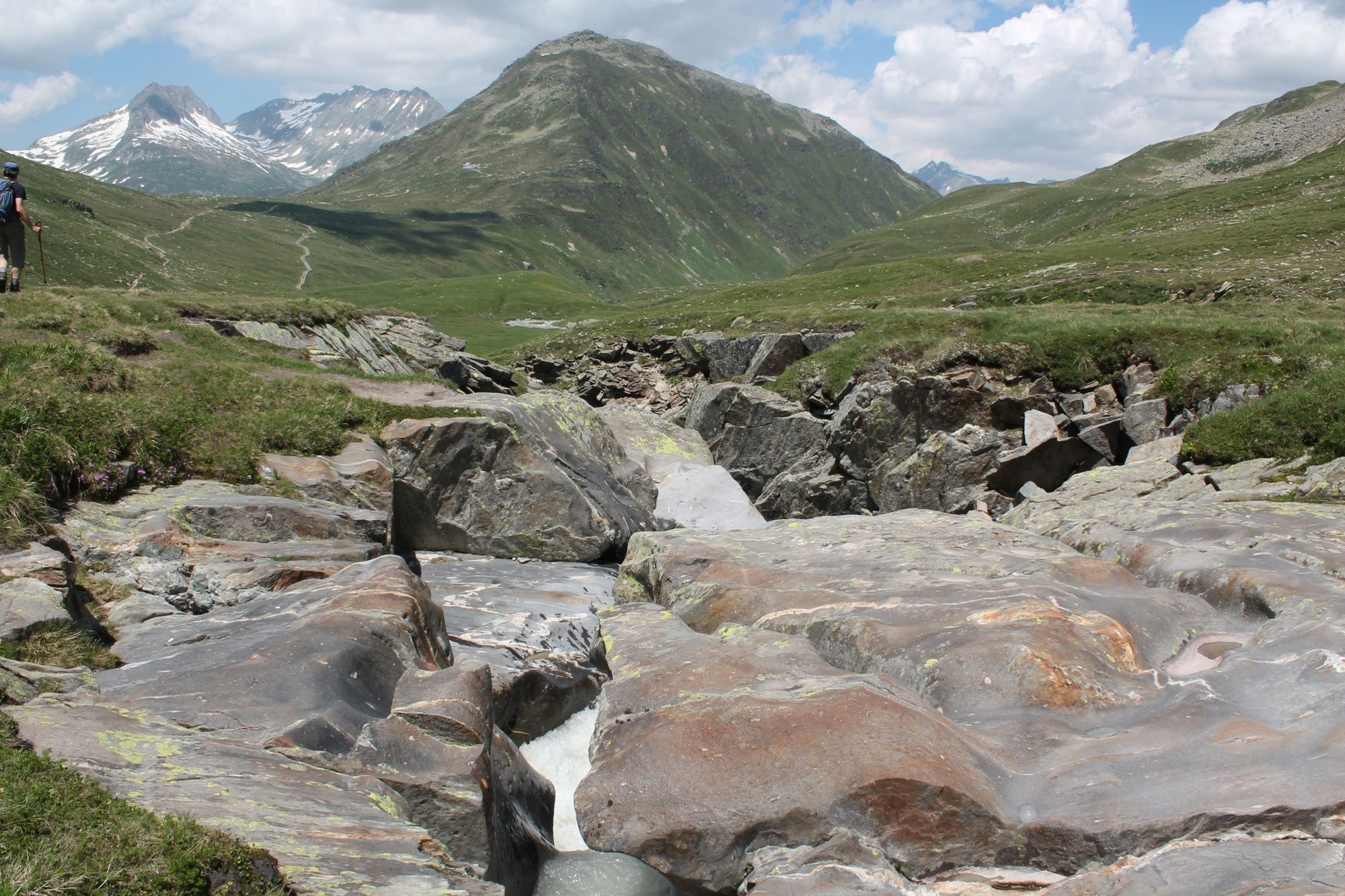
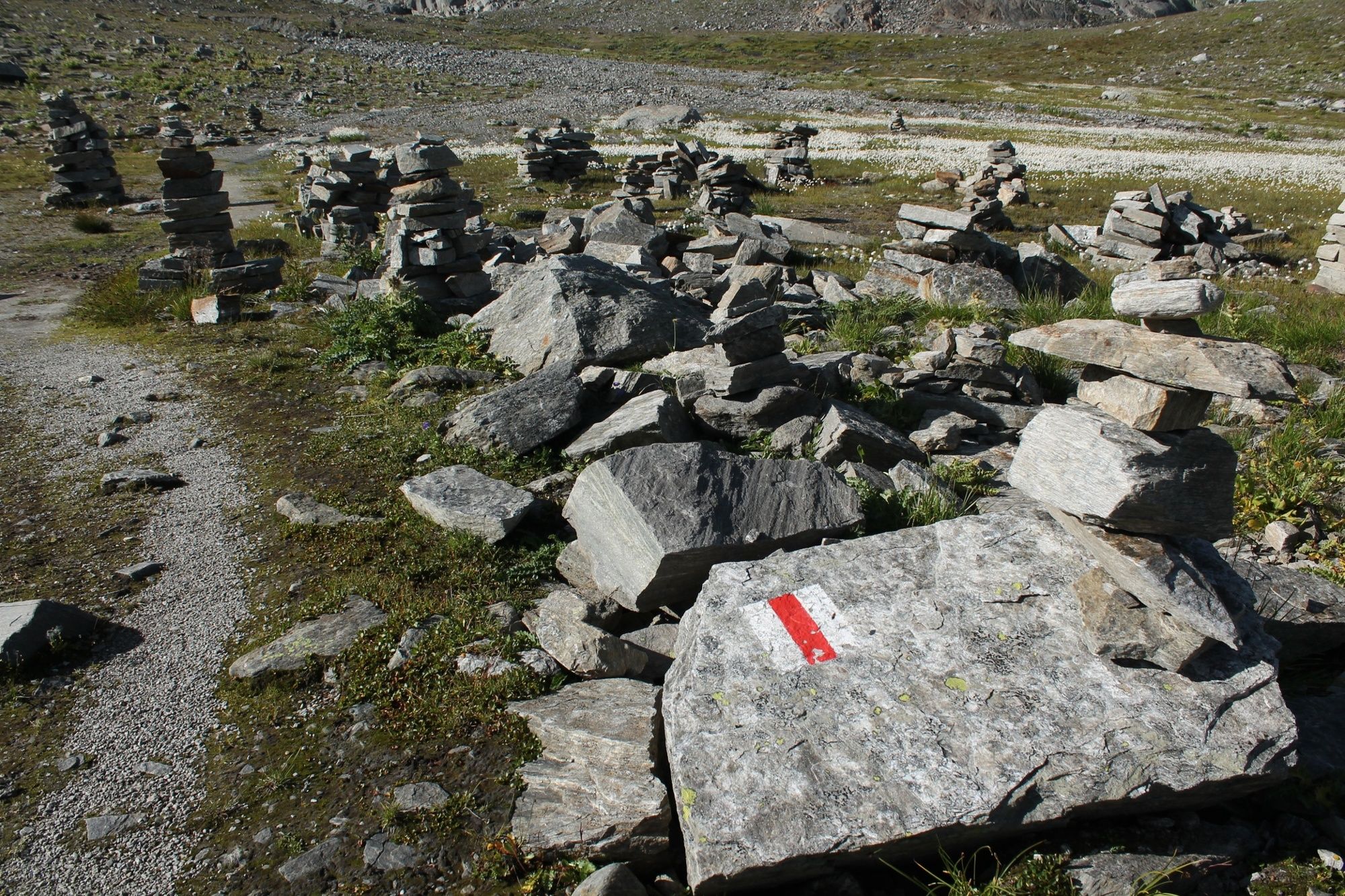
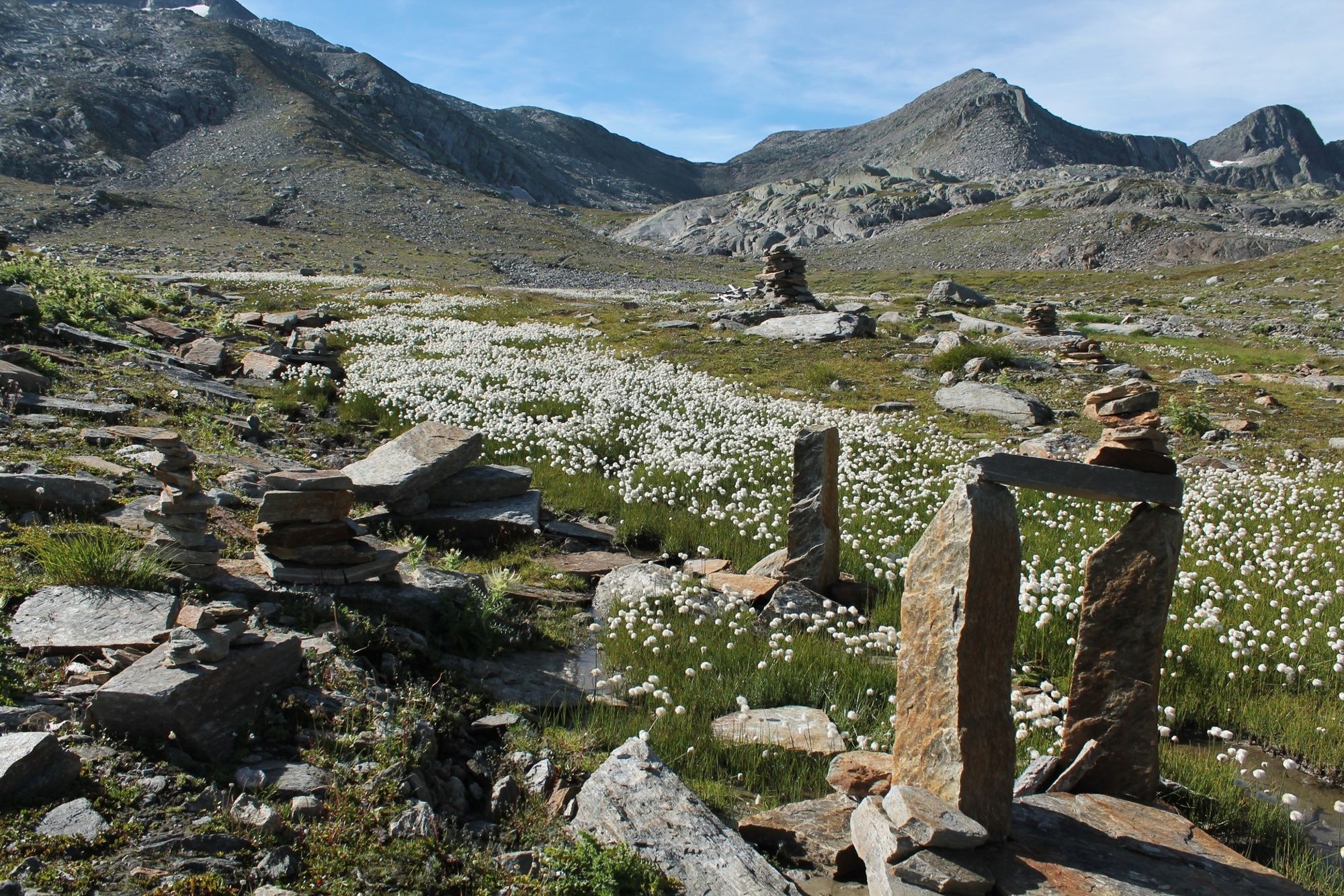
Day 1: We spend the first part of the hike with the hikers who are aiming for Lake Toma and the Maighelshütte. On the way in Val Maighels we enjoy numerous natural beauties. In Plidutscha the Rhine ripples down to the valley as a small stream, the mountains are reflected in the lakes Lai Urlaun and Lai Carin, meandering watercourses are decorated with flowers and cotton grass and at Piogn Crap we dare to take a single step over the Rein da Maighels, which is here squeezes through a narrow crack in the rock. On the Grava plain we are expanding the large cairns colony with another specimen. Before the top of the pass, the vegetation becomes increasingly sparse. Firn lies on the slopes well into July and small, turquoise lakes form in the hollows. On the Passo Bornengo we have reached the cantonal border: Benvenuti in Ticino! We now leisurely descend around 200 meters to Pian Bornengo, and then back up to Capanna Cadlimo.
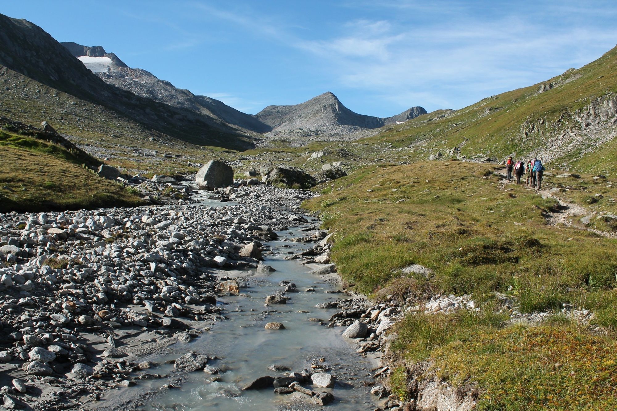
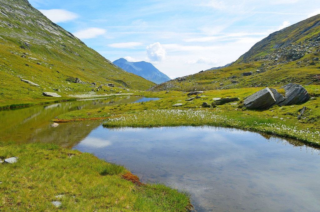
Day 2: We hike down the valley on the hut path through the Val Cadlimo and along the Reno di Medel. We take our time, because Val Cadlimo also has a lot of nature to offer with its wetlands, small lakes and lively stream. When we arrive at the Santa Maria reservoir, we end the tour on a road to the hospice.
- Highest point
- 2,615 m
- Endpoint
-
Lukmanierpass
- Height profile
-
 © outdooractive.com
-

-
AuthorThe tour Passo Bornengo - Capanna Cadlimo, 2 days is used by outdooractive.com provided.


General info
-
Uri
1548
-
Ritom - Piora
459
-
Tujetsch
160