
- Brief description
-
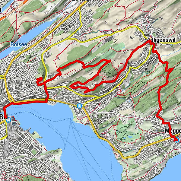
From the centre of Meggen, you climb through fields and meadows to mystical Megger forest before continuing on to Adligenswil. High above the town, you pass the Kurhaus Sonnmatt to reach Gerlisberg monastery. After a final effort you arrive at the Dietschiberg, little sister of the Rigi. You then descend to the Utenberg before entering the huge Dreilinden Park.
- Difficulty
-
easy
- Rating
-
- Starting point
-
Meggen centre
- Route
-
Meggen Zentrum (470 m)0.0 kmMeggen0.2 kmSchlössli0.2 kmPiuskirche0.3 kmAdligenswil4.2 kmSt. Martin4.2 kmObgardi4.5 kmSchlössli7.0 kmDietschiberg10.2 kmKonservatorium12.7 kmEingang "Schiffrestaurant Wilhelm Tell"14.2 kmBrücke 814.7 kmLuzern Schweizerhofquai (435 m)14.8 kmLucerne (436 m)15.3 km
- Best season
-
JanFebMarAprMayJunJulAugSepOctNovDec
- Description
-
This walk begins at Meggen railway station. Head for the town hall up to the main road; St. Pius's soon hoves into view. Despite its sober-looking exterior, it's worth a visit for its amazing interior. Continue up to Schlösslistrasse. In the bend, take the steep steps up to Kreuzbuchstrasse. Turn left and follow the footpath towards Adligenswil. Pause a while and enjoy the views of Meggen, the lake and the Rigi.
Mystical Megger forest
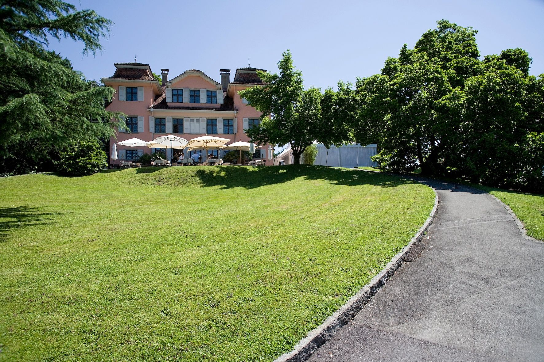
The route continues into mystical Megger forest. Take the right-hand path to reach a large clearing, then a crossroads. From there the path heads towards Adligenswil. In the village you come to St. Martin's church before heading for Sonnmatt along the path. Pass through fields and meadows to the famous Kurhaus Sonnmatt. Now follow Gerlisbergstrasse until you reach Gerlisberg monastery.
Up to the Dietschiberg
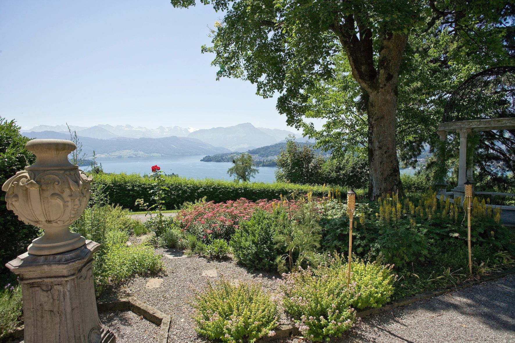
Time for a final effort. Follow the footpath behind the monastery and head for the Dietschiberg through the fine golf course. You've made it! Your reward is the stunning view. This is the perfect spot for a picnic break, after which you continue towards Utenberg. The descent takes you past several grand manor houses. At the end of Dietschibergstrasse turn into Gundoldingenstrasse and follow it as far as Dreilindensteig and Dreilinden Park.
You can now return to Lucerne on foot or by bus.
- Highest point
- 650 m
- Endpoint
-
Lucerne railway station
- Height profile
-
 © outdooractive.com

-

-
AuthorThe tour Via Meggen to the Dietschiberg is used by outdooractive.com provided.


General info
-
Luzern und Umgebung
1711
-
Weggis Vitznau Rigi
891
-
Ebikon
196