- Brief description
-
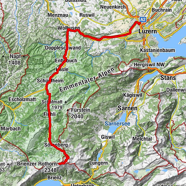
From source to mouth.
- Difficulty
-
medium
- Rating
-
- Starting point
-
Emmensprung, Sörenberg
- Route
-
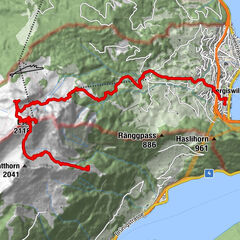
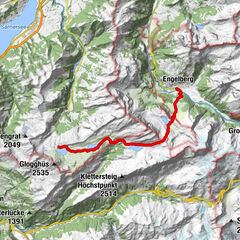
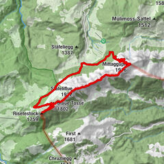
Gipfel Restaurant RothornBrienzer Rothorn (2,348 m)0.2 kmBrienzer Rothorn0.5 kmEisee2.0 kmEmmensprung4.9 kmChalet Sörenberg8.6 kmSörenberg9.3 kmTalstation Skilift Ochsenweid10.5 kmChäs Stübli Ochsenweid10.5 kmHüttlenen17.2 kmFlühli (882 m)18.4 kmKatholische Kirche St. Josef18.5 kmStutz18.5 kmSpierbergli19.4 kmStaufe22.9 kmSt. Niklaus23.6 kmChlusbode24.2 kmGasthaus Bad26.0 kmSchüpfheim (719 m)28.4 kmLe Bistro28.5 kmSchüpfheim (717 m)28.5 kmSüdereschache31.6 kmÄnetämme32.5 kmEntlebuch (723 m)35.4 kmKrone44.1 kmWolhusen (582 m)44.5 kmBahnhöfli45.1 kmWolhusen (565 m)45.1 kmWerthenstein (585 m)47.2 kmWallfahrtskirche Unsere Liebe Frau47.4 kmGnadenbrünneli47.4 kmKloster47.6 kmDietenei48.1 kmSchachen51.5 kmEttisbühl53.0 kmSchlegelhaus53.1 kmSchwelli53.4 kmMalters55.4 kmStegmättli57.3 kmLittauerboden62.9 kmLucerne (436 m)64.7 kmEmmenbrücke (438 m)65.2 kmEmmen (429 m)65.4 km
- Best season
-
JanFebMarAprMayJunJulAugSepOctNovDec
- Description
-
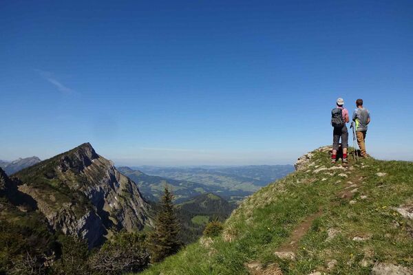
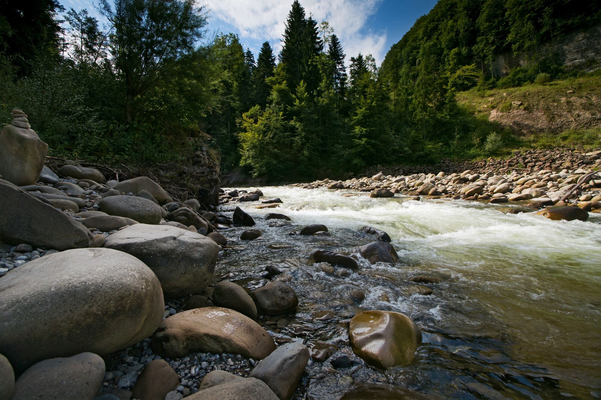
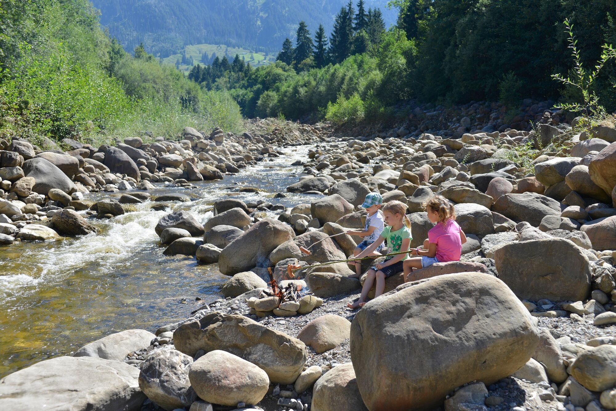
The Emme riverside path provides access to one of the most charming river landscapes in Canton Lucerne. From the source in the heart of the UNESCO Biosphere Entlebuch, the path follows mysterious paths into the pulsating conglomeration of the city of Lucerne. Every step you take, the waters of the streams and the river sound a little different, wrapping you in gentle intoxication. The riverside path lets you witness the creative power of water and striking natural monuments. The Emme flows lethargically, but it can also tumble like a torrent, setting stones in motion, undermining banks and creating habitats for animals and plants. The Emme riverside path is composed of five one-day stages, which can be completed individually thanks to excellent public transport connections.
- Directions
-
The path passes close to all the railway stations on the Lucerne-Schüpfheim line, thus offering a welcome opportunity to complete all the sections individually. The entire Emme riverside path is easy to negotiate, with the exception of the section between Schüpfheim and Flühli, which is a little more challenging.
- Highest point
- 2,325 m
- Endpoint
-
Lucerne railway station
- Height profile
-
 © outdooractive.com
 - Equipment
-
Sturdy footwear and all-weather clothing are a must.


-

-
AuthorThe tour Emme riverside path is used by outdooractive.com provided.


General info
-
Obwalden
2014
-
UNESCO Biosphäre Entlebuch
630
-
Entlebuch LU
152