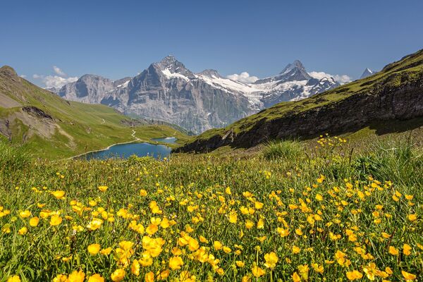
© UNESCO Biosphäre Entlebuch - Beat Brechbühl

© UNESCO Biosphäre Entlebuch - Beat Brechbühl

© UNESCO Biosphäre Entlebuch - Beat Brechbühl

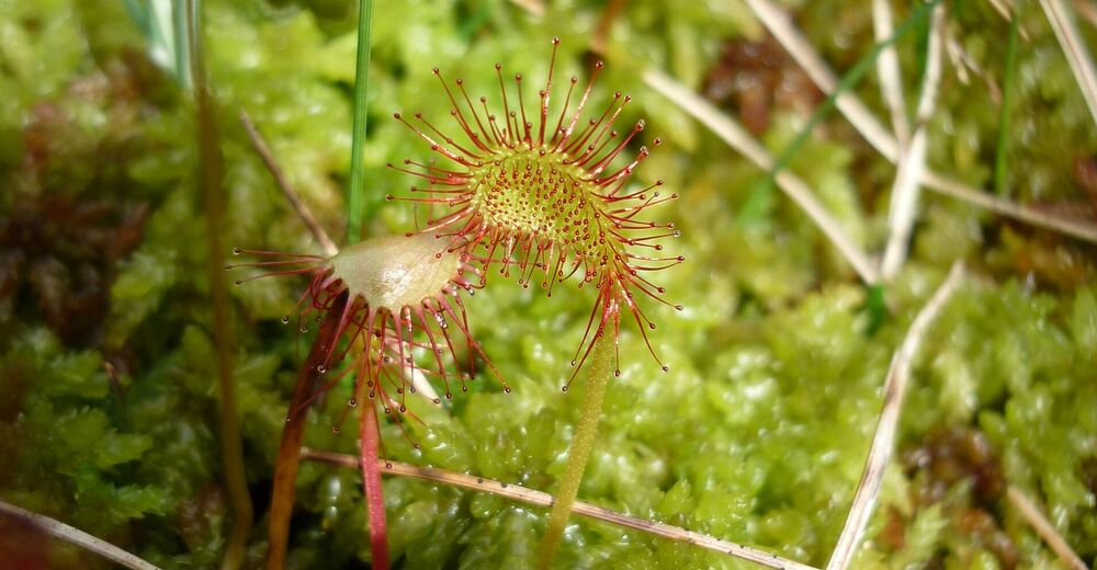
© UNESCO Biosphäre Entlebuch - David Kurth

© UNESCO Biosphäre Entlebuch - Beat Brechbühl

© UNESCO Biosphäre Entlebuch - Beat Brechbühl

© UNESCO Biosphäre Entlebuch - Martin Mägli
© UNESCO Biosphäre Entlebuch - Florian Knaus
- Brief description
-
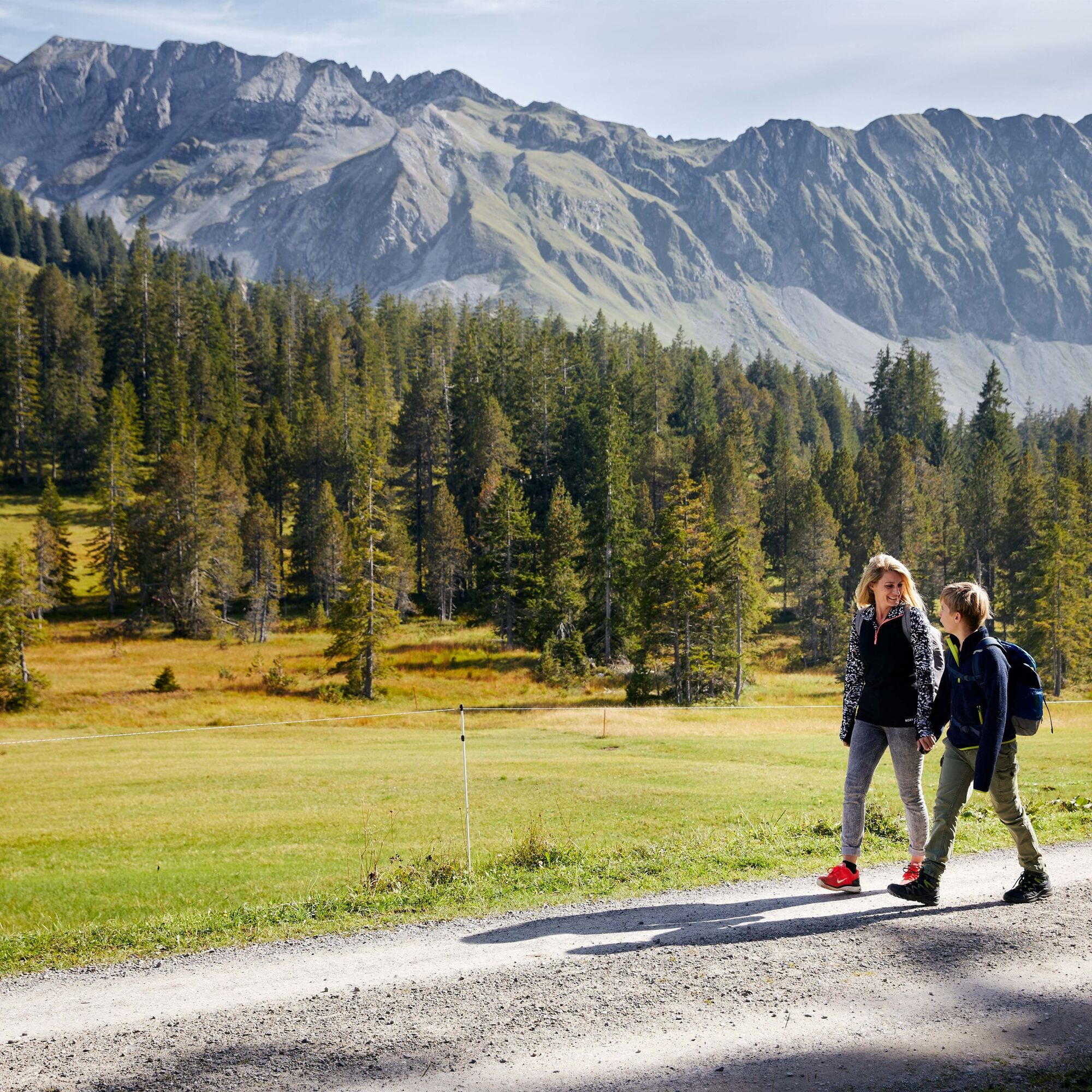
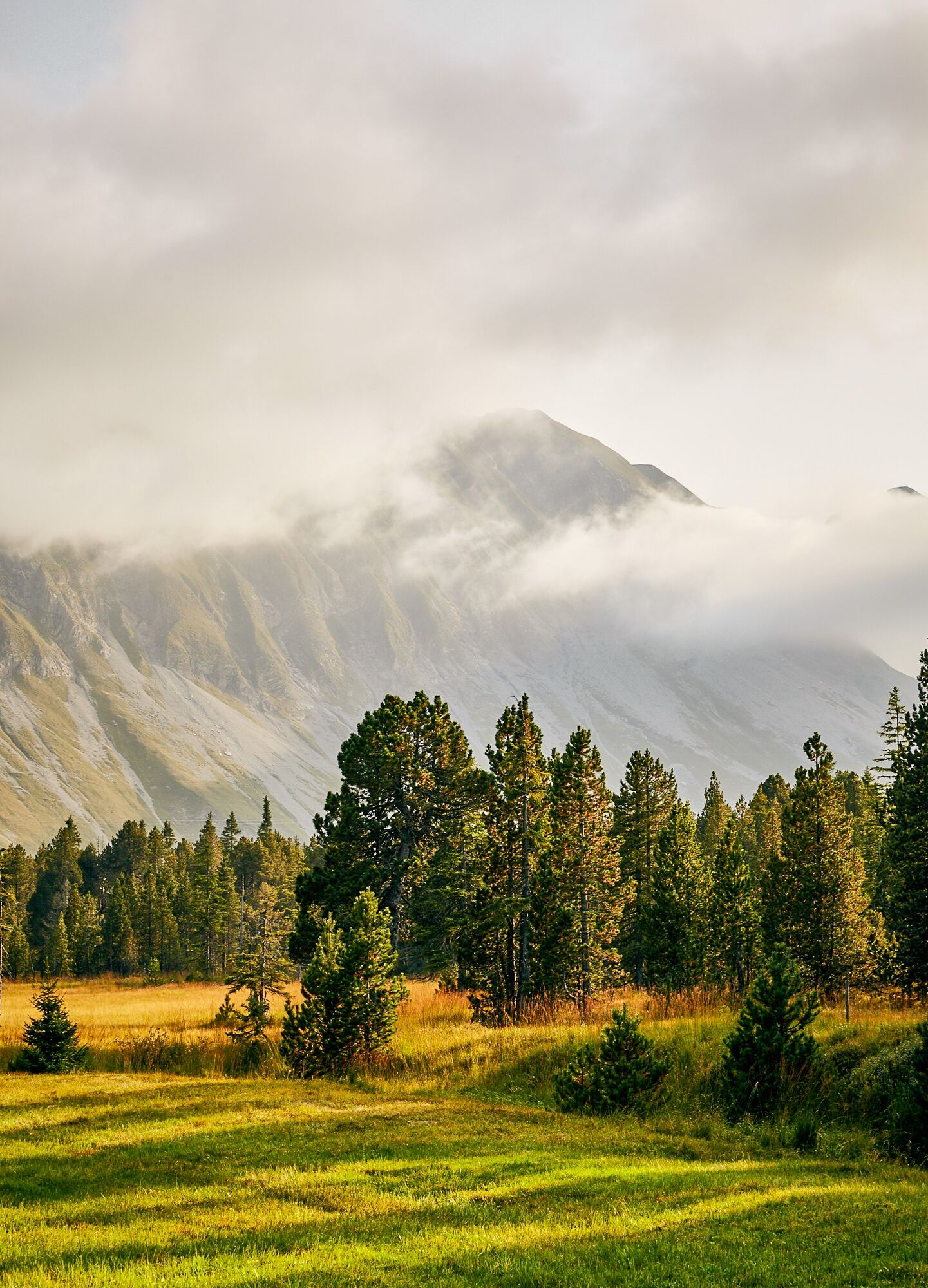
Die erste Etappe des Moorlandschaftpfades überrascht mit scharfen Kontakst zwischen dem kantigem Schrattenfels und dem weichem Moorboden.
- Difficulty
-
medium
- Rating
-
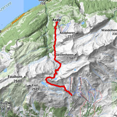
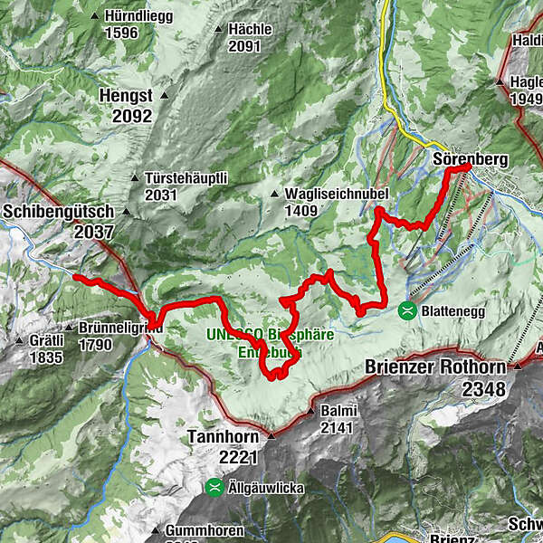
- Route
-
SörenbergBergstation Skilift Dorf1.0 kmHübeli15.2 kmKemmeriboden16.4 kmKemmeribodenbad16.8 km
- Best season
-
JanFebMarAprMayJunJulAugSepOctNovDec
- Description
-
Sharp contrast between the sharp rock of the schrattenfluh and the soft ground of the moor land! The moor landscape is characterized through the extreme contrast between smooth, round forms of the surface of the moor land and the sharp relief of the Schratten-fluh. Big parts of that area are very wild and of nearly intact beauty. On the "Chnubeln" and "Eggen" in the typical location of the moor land, there are traditional alps with deep hang-ing shingle roofs.
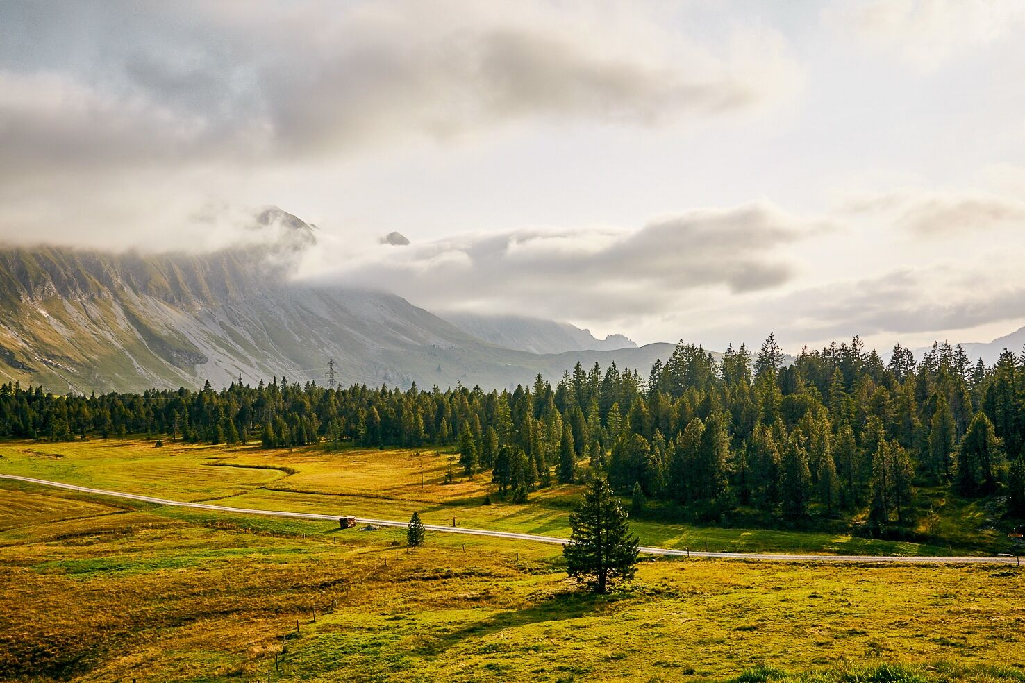
Comfortably, you walk on traffic free brash streets through the alpine and Nordic ski area of Soerenberg. The variety of the types of moor land is imposing.
Specials in the moor of the Hilferenpass
S: The moraines by Pfosteregg and Sitenegg count as witnesses of the last ice-age.
T: The hunting ground Tannhorn (ca. 12 km2, 1944 established) presents loads of cham-ois and venison.
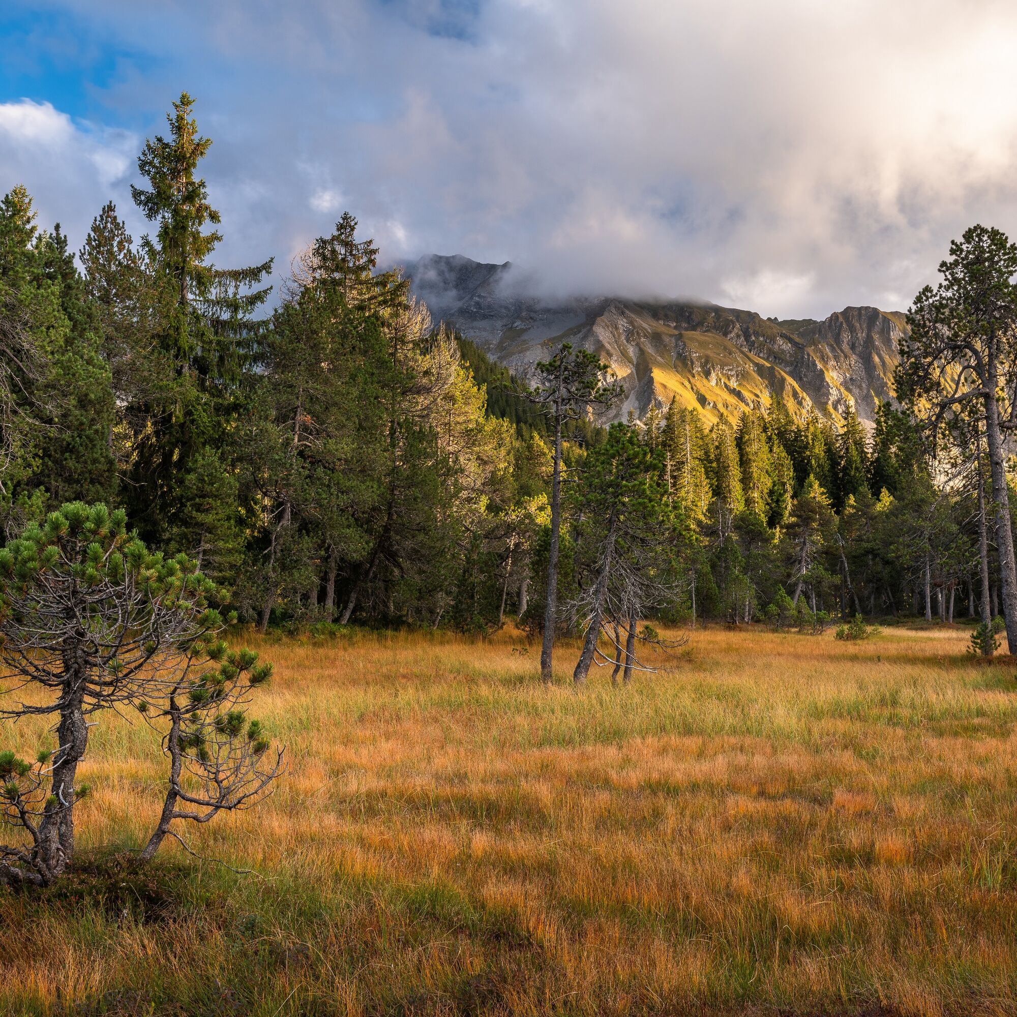
U: The fantastic area of Laubersmadghack and Türnliwald is because of the pine bog and the little water areas worth seeing. In the light forests live rare species of animals.
V. The Schrattenfluh attracts attention with typical forms of karst like sinkholes and branched cave systems. In the opposite of the wet moor land, on the bare karst does not exist ground level water because it seeps away belowground through clefts and gaps.
Note(s)
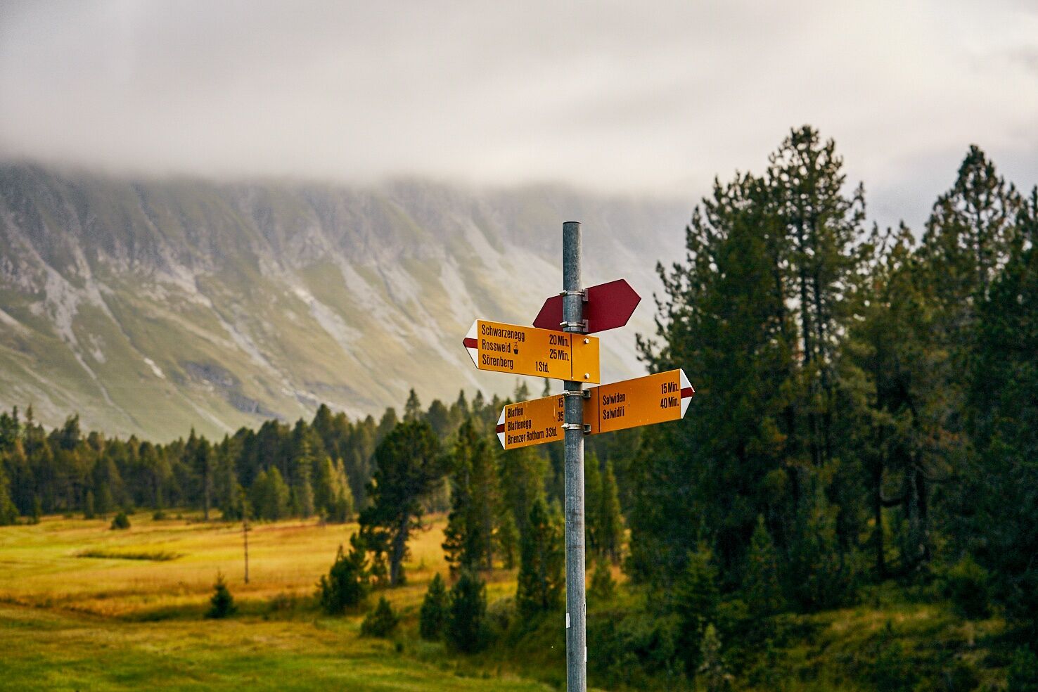
The route is marked with the pointer «Moorlandschaftspfad» and can also be made in the opposite direction.
The starting point Kemmeriboden can bee reached with the bus from the railway station Wiggen. After the tour you can reach the railway station Schuepfheim with the bus
This path can be linked with the Moorlandschaftspfad «Glaubenberg».
See also
Further informations (Brochure «Moorlandschaftspfad» und «Marbach/egg»):
UNESCO Biosphäre Entlebuch
Biosphärenmanagemen
Chlosterbüel 28
CH-6170 Schüpfheim
Telefon: 0041 (0)41 485 88 50
Mail: zentrum@biospaere.ch
page: www.biosphaere.ch - Highest point
- 1,591 m
- Endpoint
-
Kemmeribodenbad, Postautohaltestelle Kemmeriboden
- Height profile
-
 © outdooractive.com
-

-
AuthorThe tour Moorlandschaftspfad Etappe 1: Habkern / Sörenberg is used by outdooractive.com provided.
GPS Downloads


General info
Refreshment stop
Insider tip
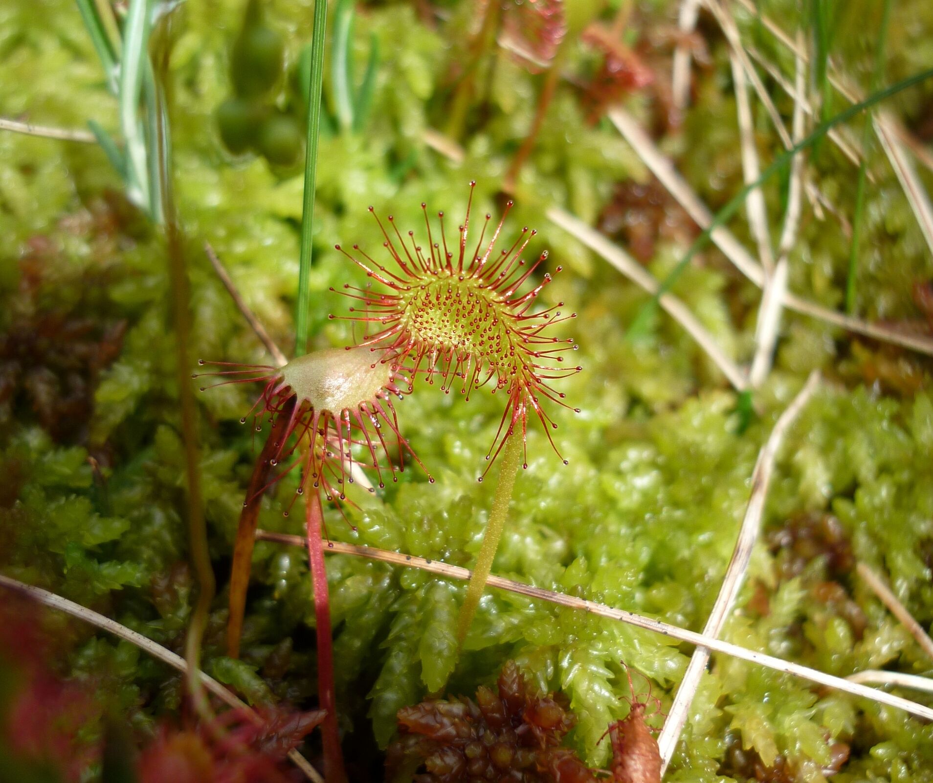
Flora
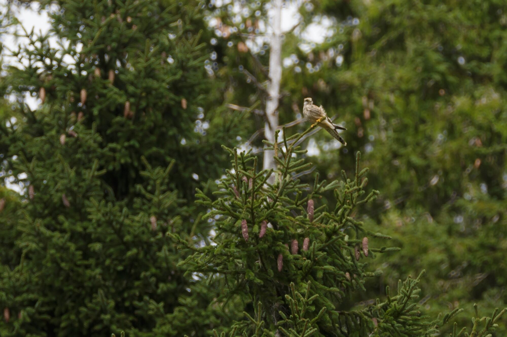
Fauna
Other tours in the regions
-
Obwalden
2014
-
Brienzersee
1054
-
Sörenberg
207