© Schwyzer Wanderwege - outsideisfree.ch
© Schwyzer Wanderwege - outsideisfree.ch
© Schwyzer Wanderwege - outsideisfree.ch
© Schwyzer Wanderwege - outsideisfree.ch
© Schwyzer Wanderwege - outsideisfree.ch
© Schwyzer Wanderwege - outsideisfree.ch
© Schwyzer Wanderwege - outsideisfree.ch


- Brief description
-
Ein Hauch von Süden.
- Difficulty
-
medium
- Rating
-
- Starting point
-
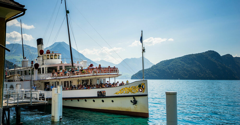
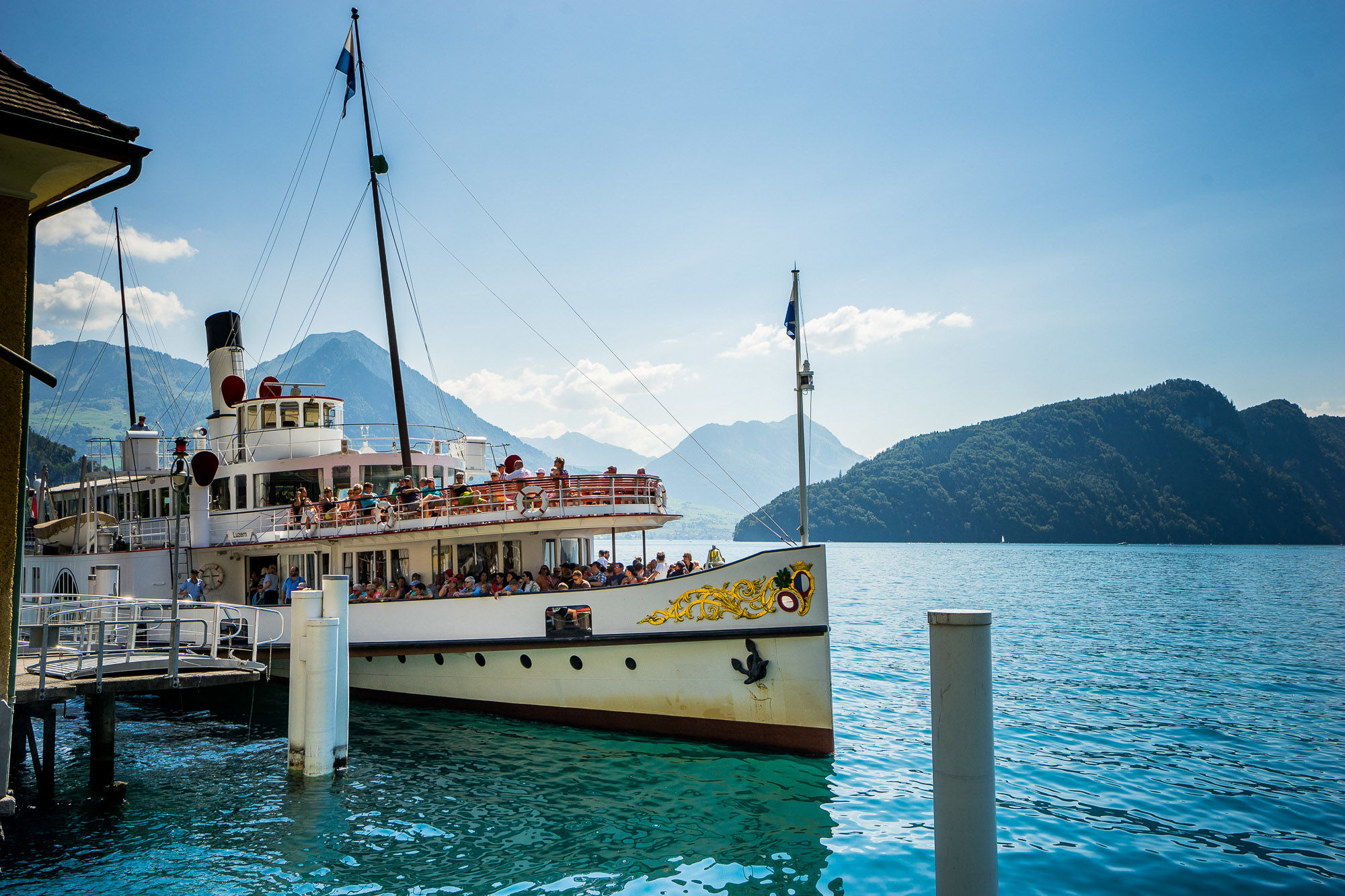
Brunnen, boat station
- Route
-
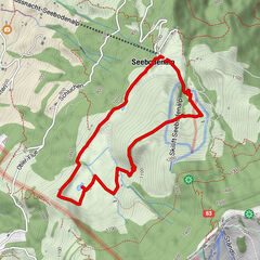
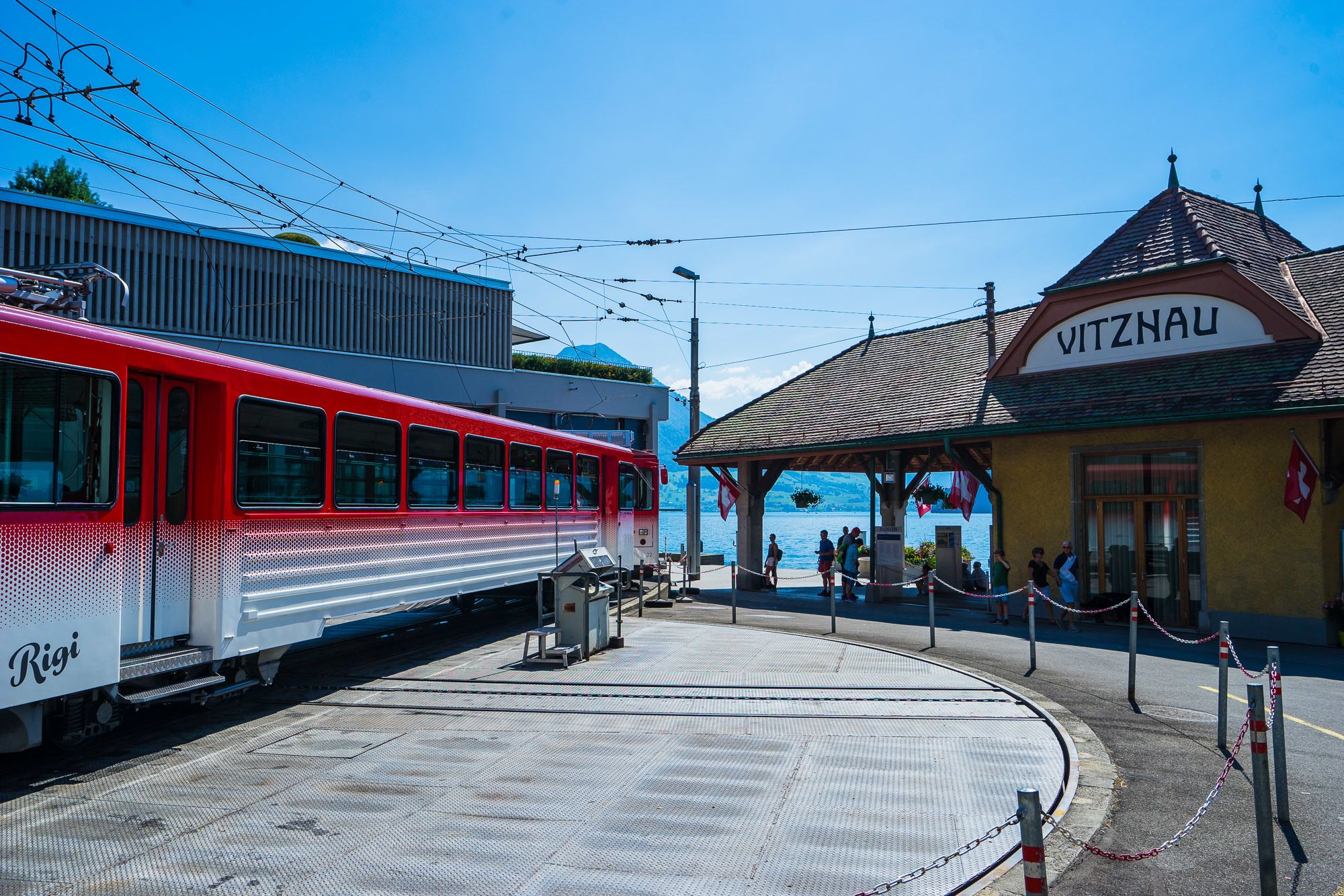
BrunnenBundeskapelle0.0 kmLandungssteg SGV Brunnen0.0 kmBrunnen SZ2.3 kmEichwald3.2 kmBrünischart3.5 kmLangmatt4.1 kmSt. Marzellus7.3 kmGersau (See) (435 m)7.6 kmGersau7.9 kmGartenwirtschaft Kuorez11.7 kmHotel FloraAlpina12.8 kmVitznau14.2 kmSt. Hieronymus14.5 kmRütli14.5 kmRestaurant Rütli14.5 km
- Description
-
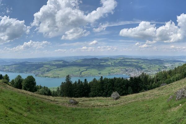
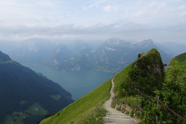
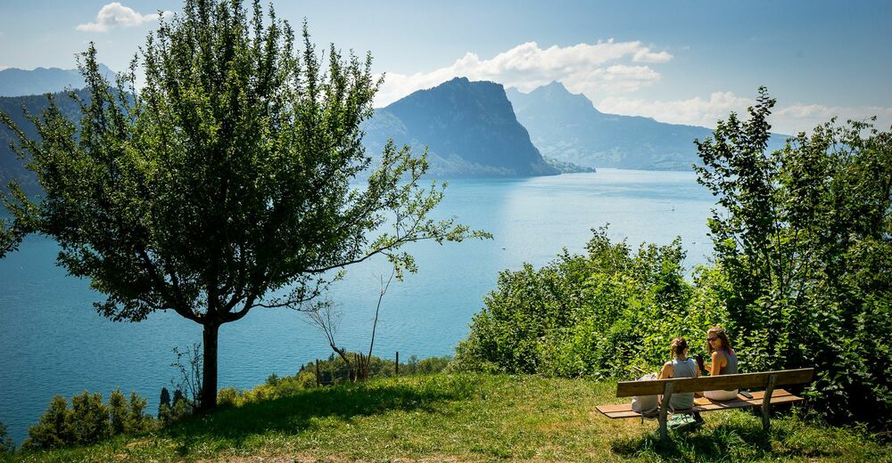
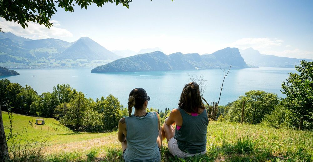
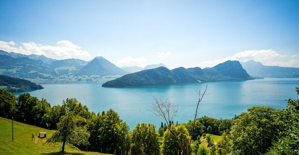
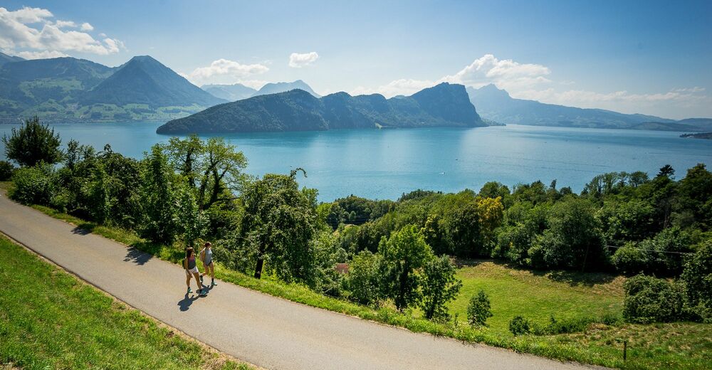
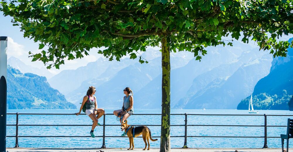
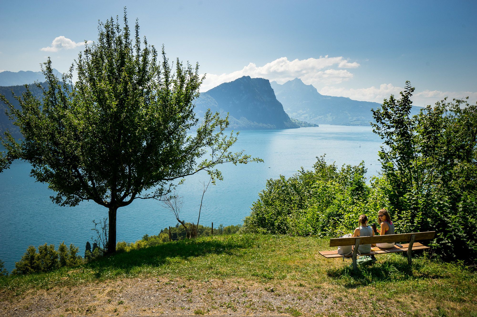
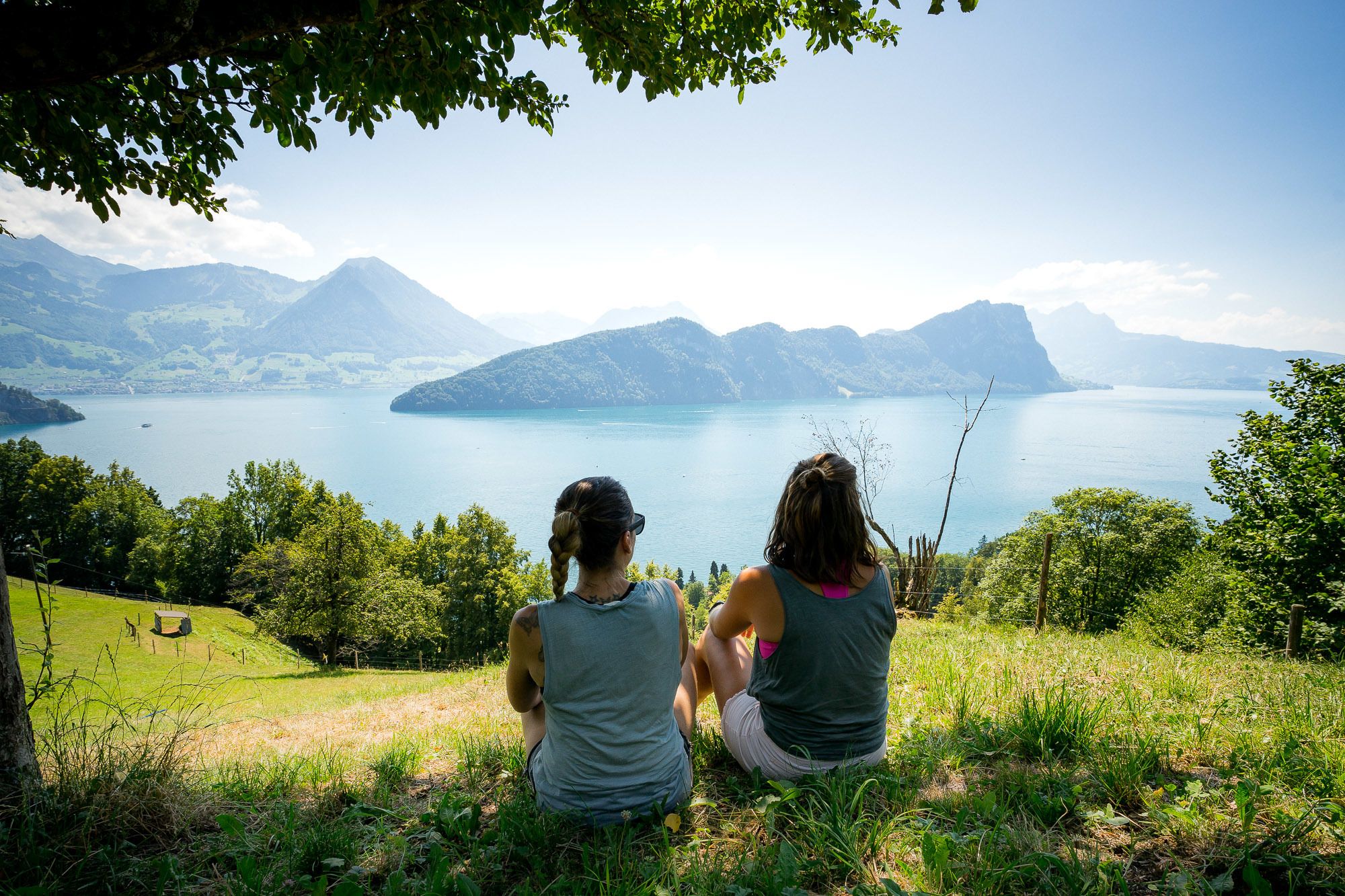
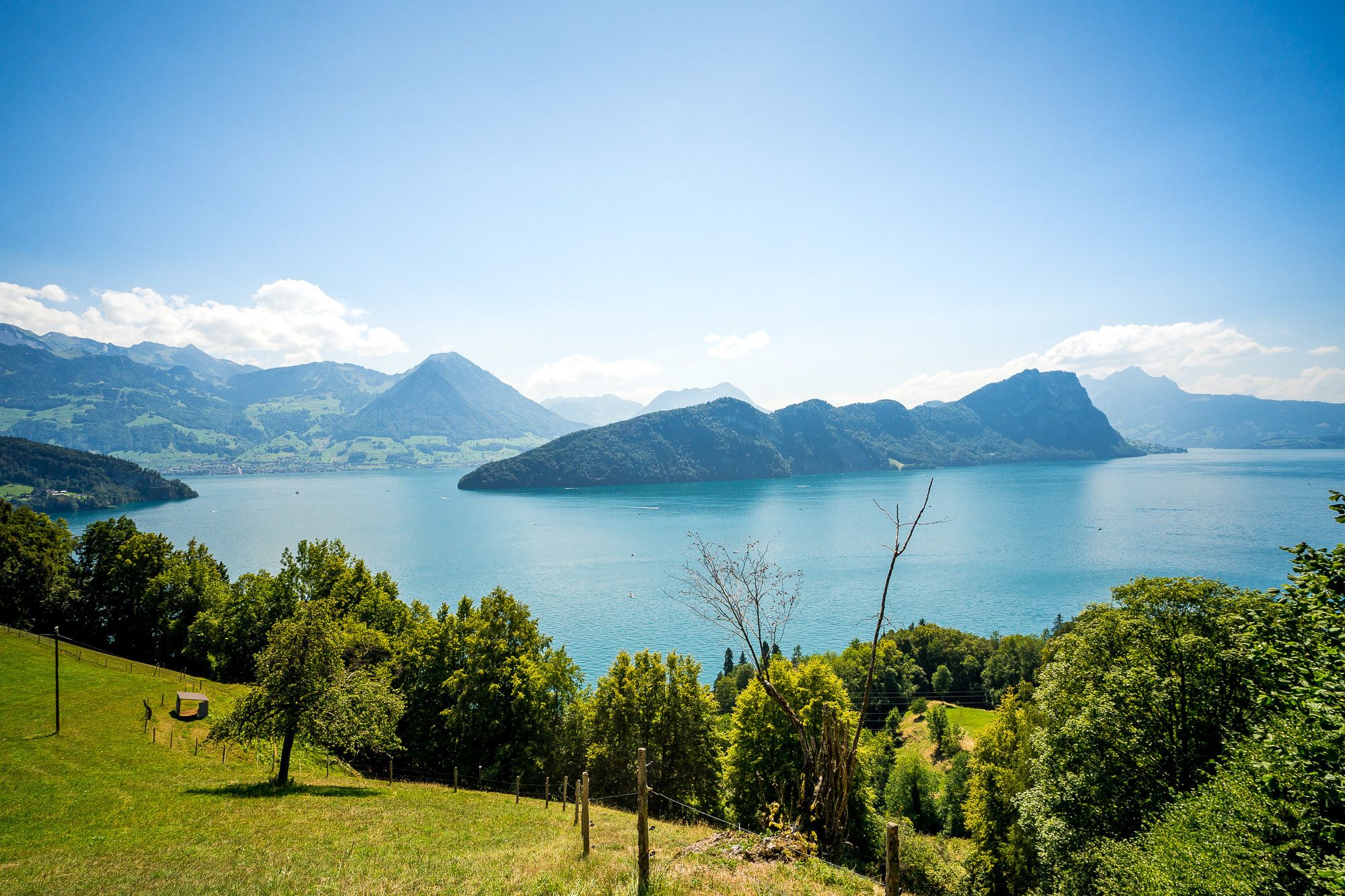
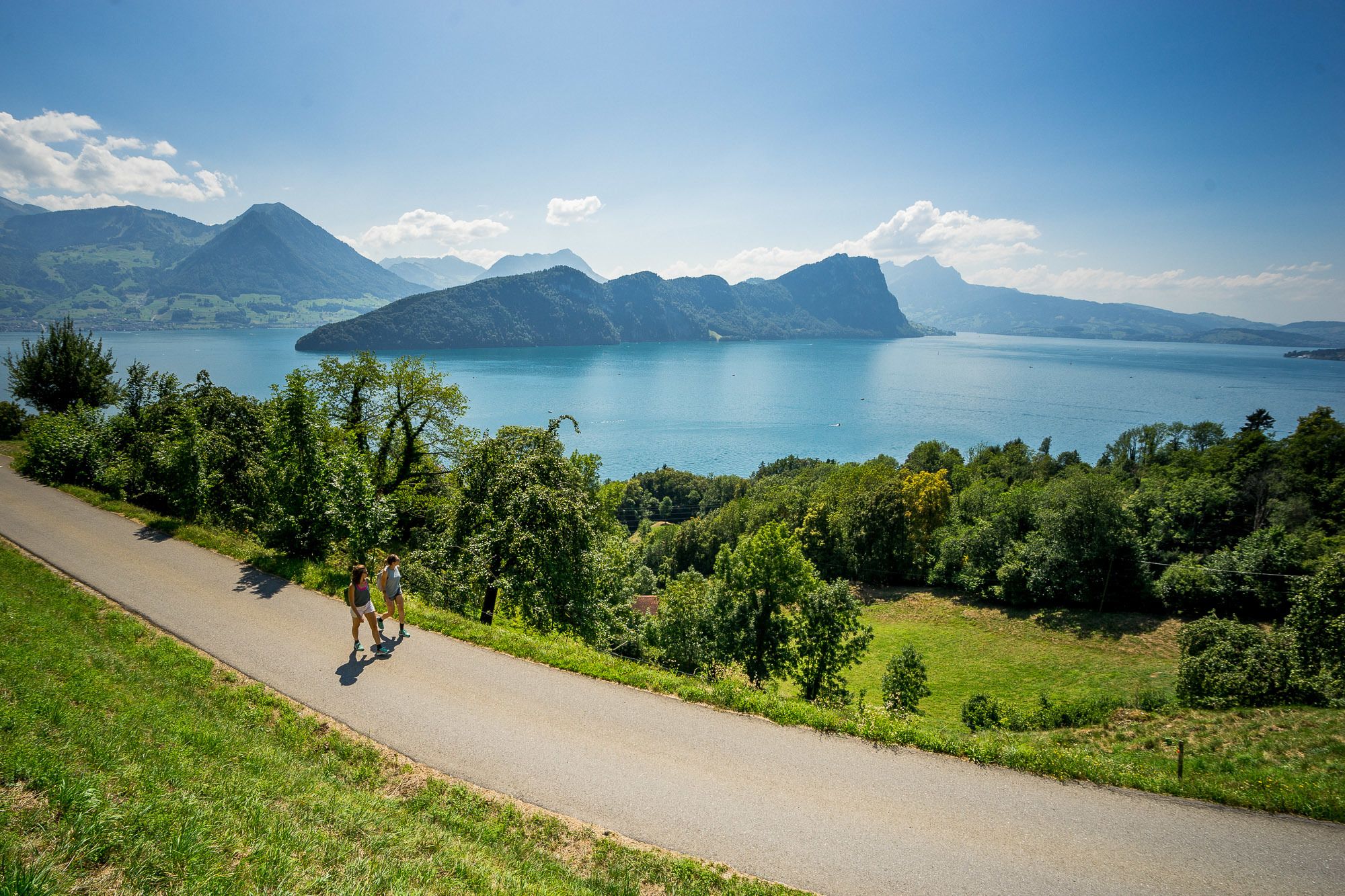
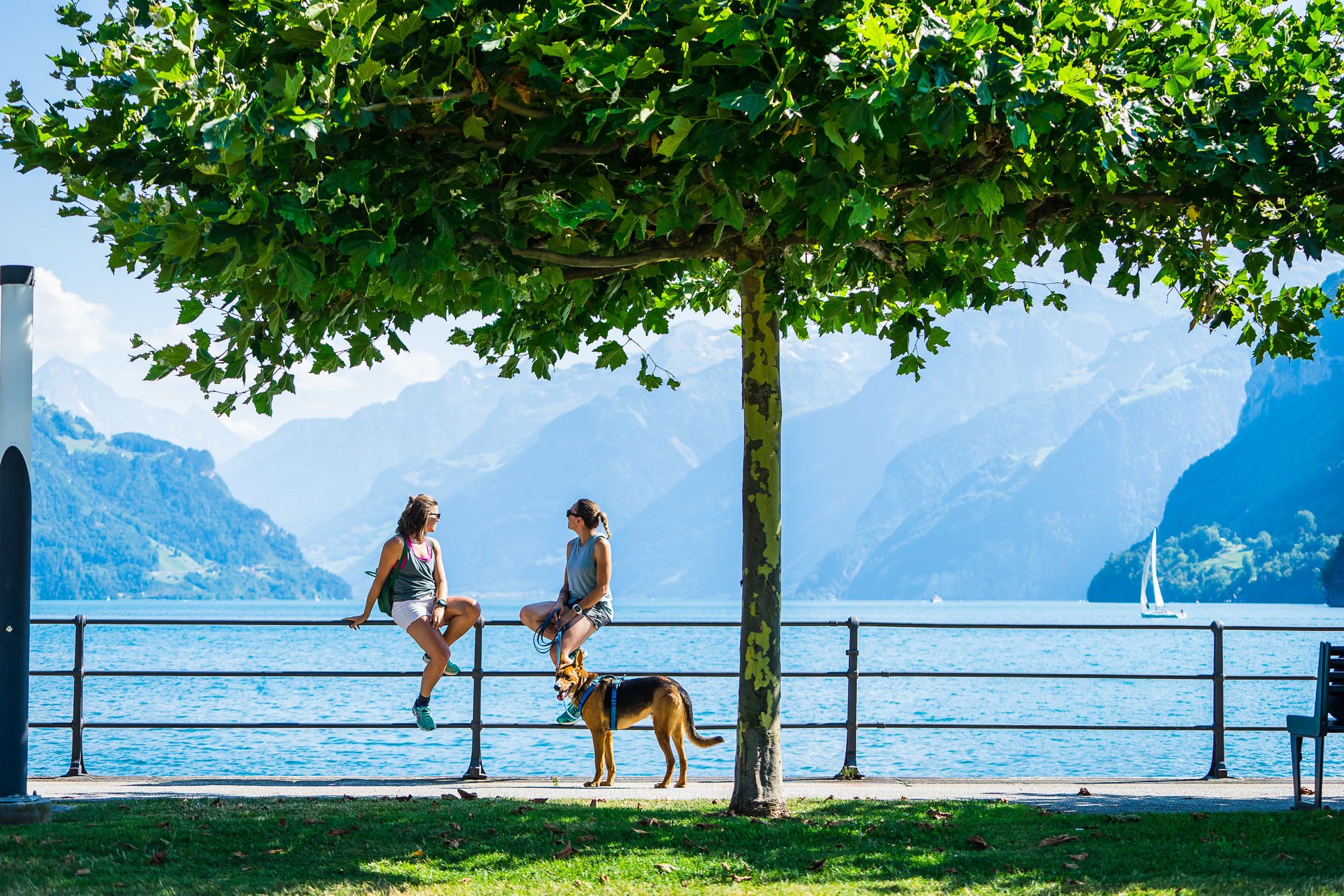
A touch of southern ambiance - From Brunnen on the Waldstätterquai, the square dedicated to the Swiss living abroad and on the lake side to Brünischart and the start of the mountain trail through almost Mediterranean-like forest vegetation with wonderful panoramic views. Vitznau is reached via Gersau.
Note(s)
Route number 98 is always signposted. As regional route of the SwitzerlandMobility network, it is signposted throughout and in both directions.
See also
Luzern Tourismus AG
Tourist Information
Zentralstrasse 5
CH-6002 Luzern
Tel.: +41 (0)41 227 17 17
E-Mail: luzern@luzern.com
Internet: www.luzern.com
Verein Weg der Schweiz & Waldstätterweg
Geschäftsstelle Brunnen Tourismus
Bahnhofstrasse 15
CH-6440 Brunnen
Tel.: +41 (0)41 825 00 40
E-Mail: info@waldstaetterweg.ch
Infos zum Waldstätterweg: www.waldstaetterweg.ch - Directions
-
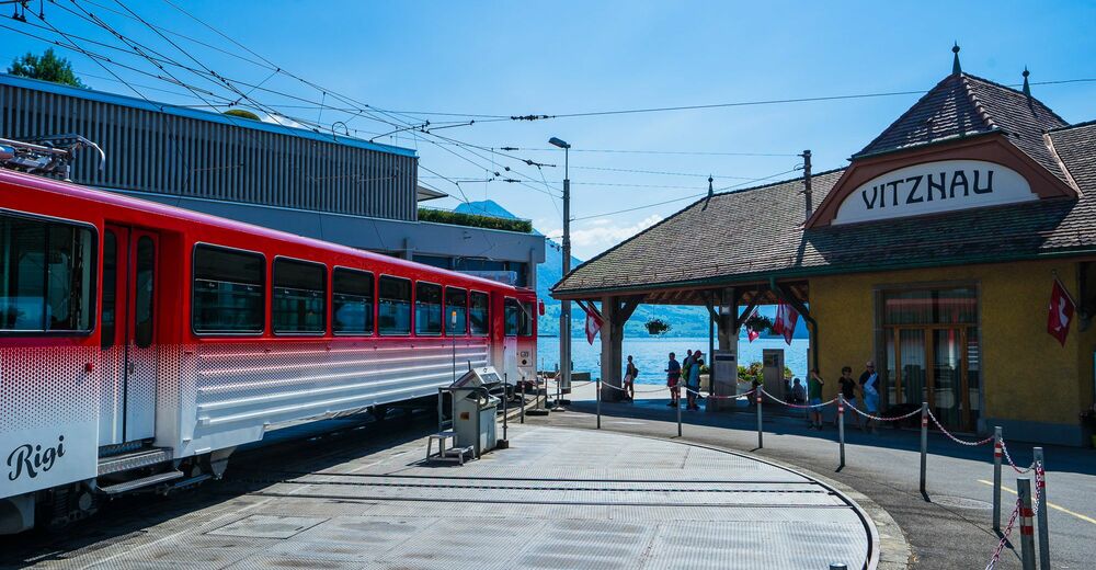
Brunnen - Gersau - Vitznau
- Highest point
- 677 m
- Endpoint
-
Vitznau
- Height profile
-
 © outdooractive.com
- Author
-
The tour Waldstätterweg: Stage 1 Brunnen - Vitznau is used by outdooractive.com provided.
GPS Downloads


Other tours in the regions
-
Schwyz
1747
-
Klewenalp-Vierwaldstaettersee
965
-
Gersau
396