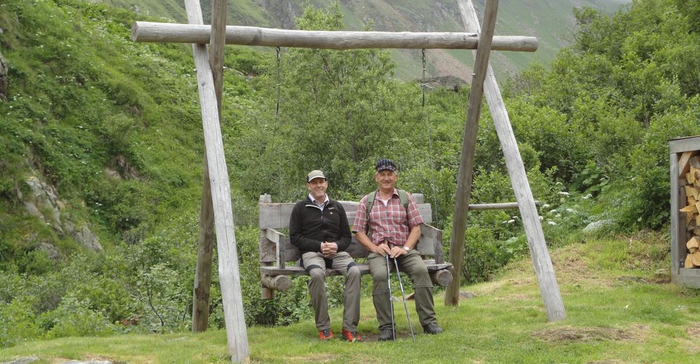
© Verein Urner Wanderwege - Markus Fehlmann

© Verein Urner Wanderwege - Markus Fehlmann
© Verein Urner Wanderwege - Markus Fehlmann
© Verein Urner Wanderwege - Markus Fehlmann
© Verein Urner Wanderwege - Markus Fehlmann
© Verein Urner Wanderwege - Markus Fehlmann
© Verein Urner Wanderwege - Markus Fehlmann
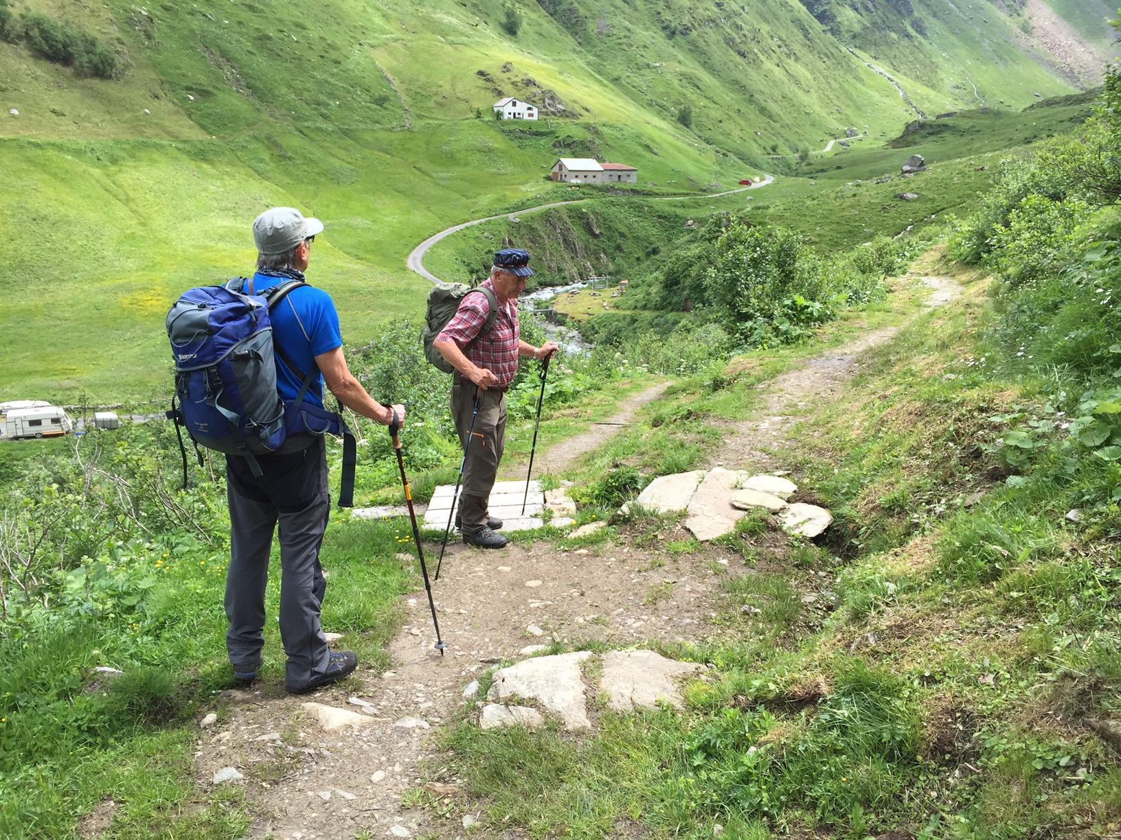
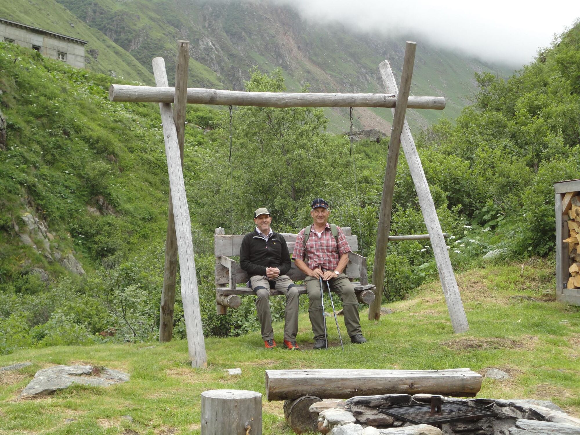
© Verein Urner Wanderwege - Walter Renggli

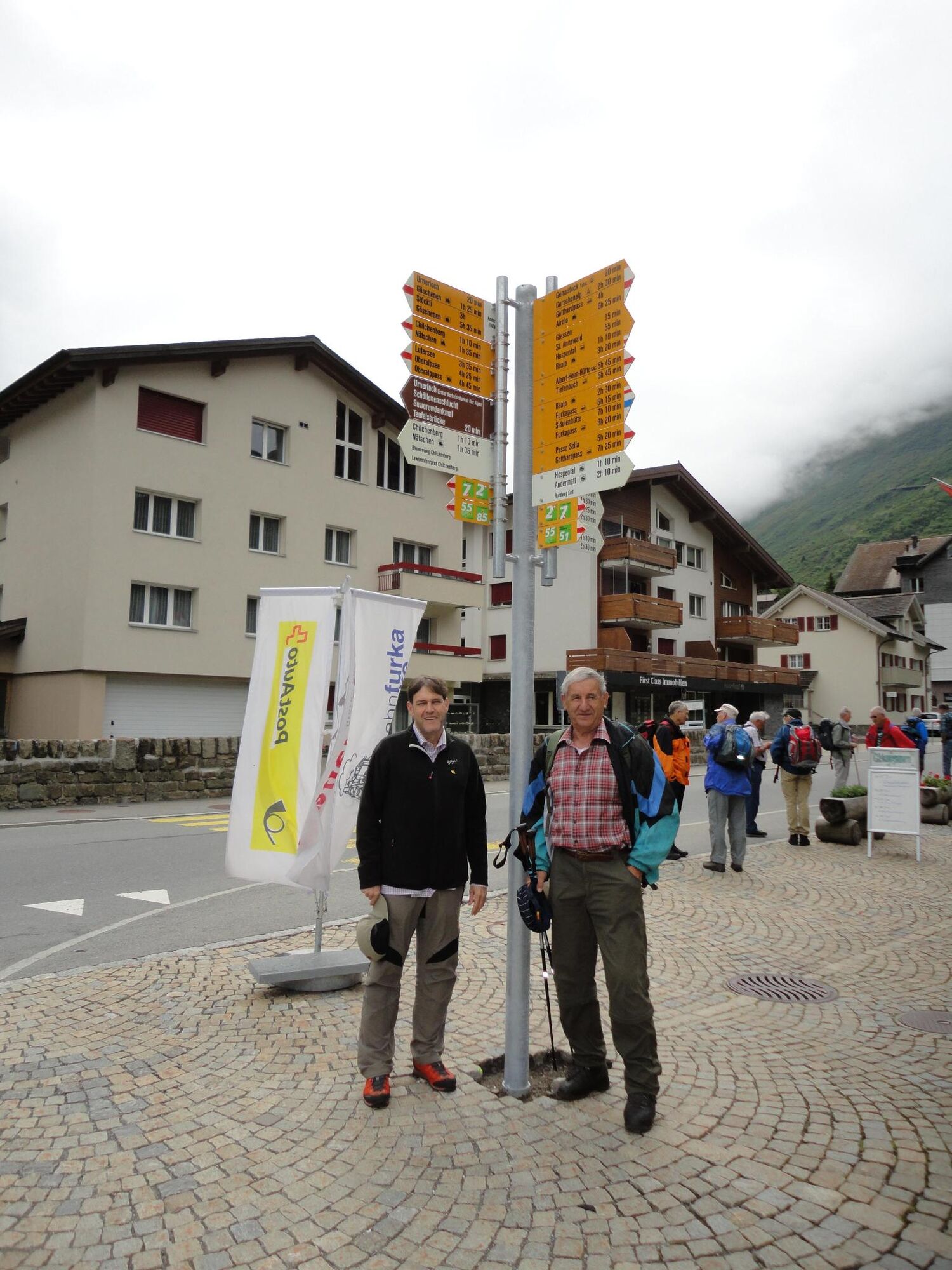
© Verein Urner Wanderwege - Walter Renggli
- Brief description
-
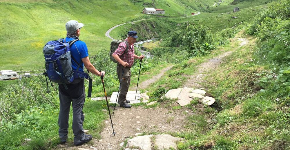
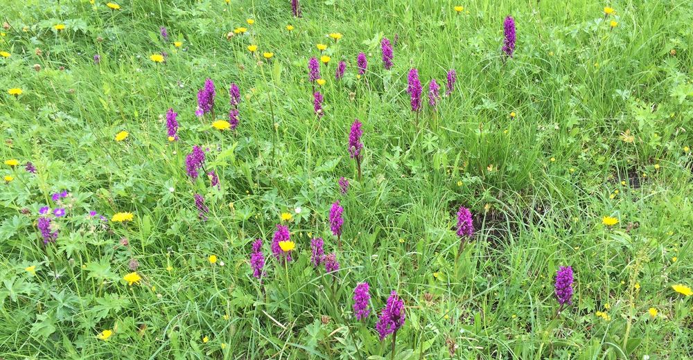
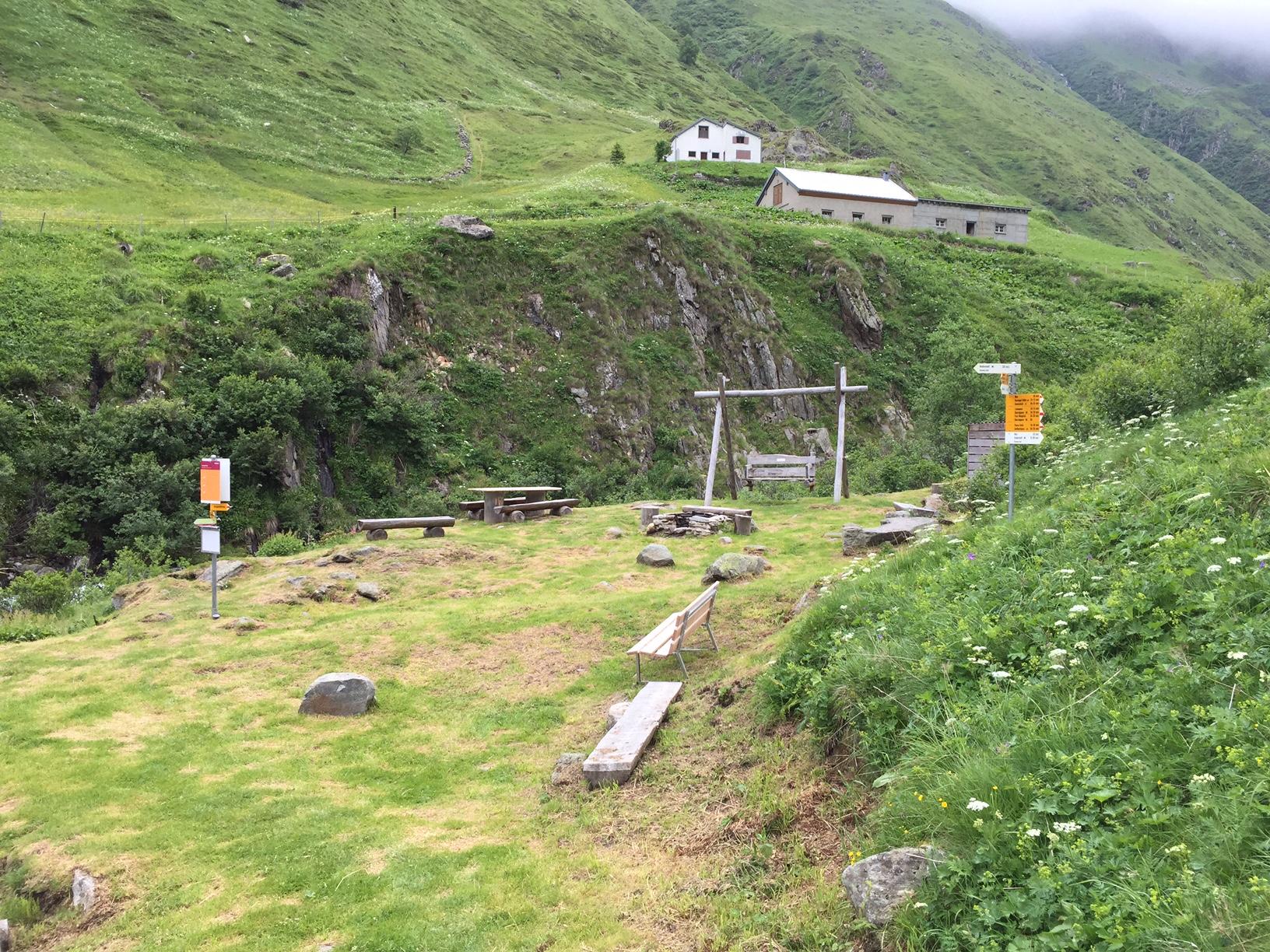
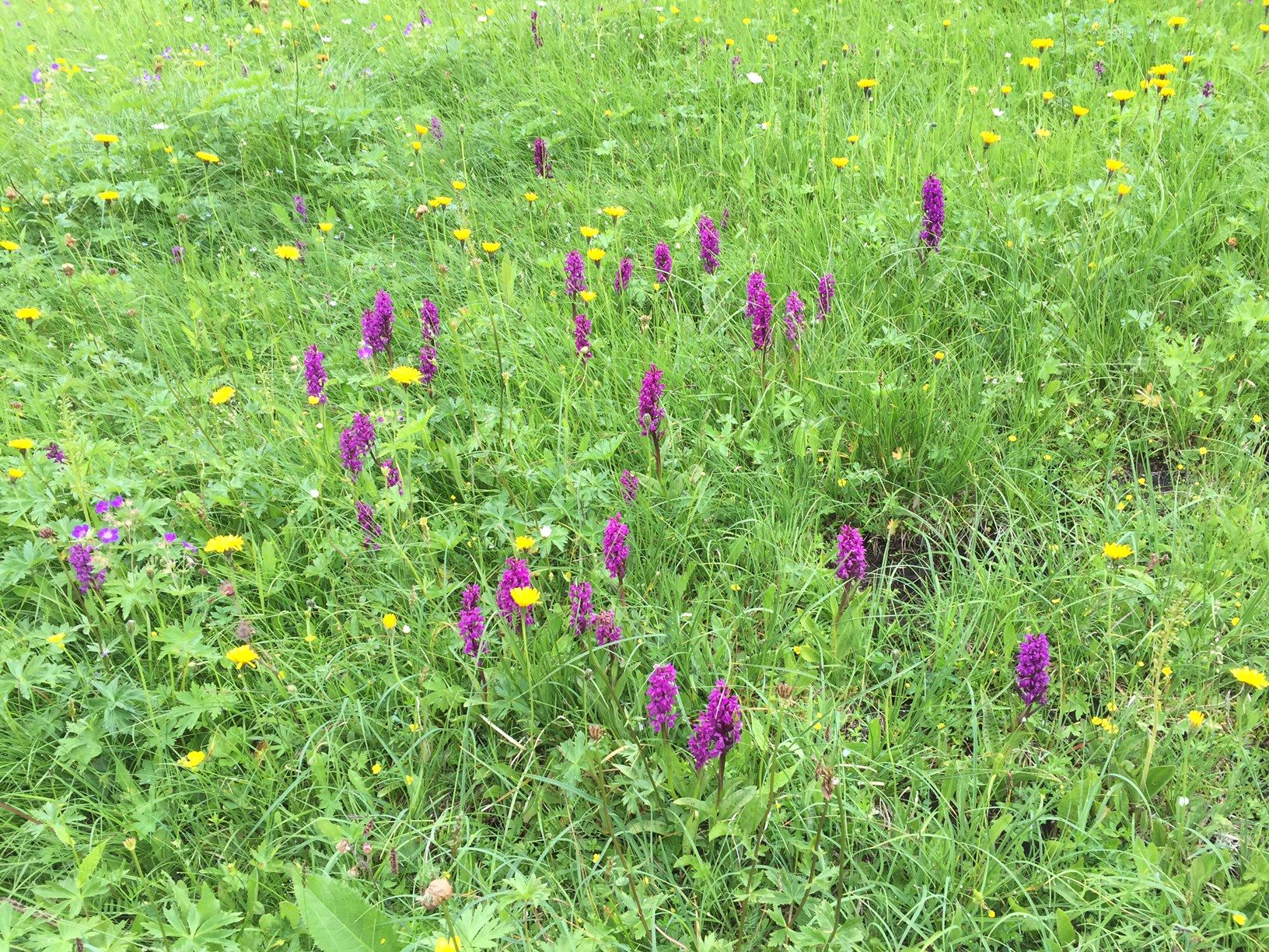
Eine kurze Rundwanderung, die alles bietet: Naturschutzflächen in einem Flachmoor, eine Hochstaudenflora im Jagdbanngebiet, hochalpine Auenlandschaften und saftige Alpweiden. Die Attraktion ist der tolle Picknickplatz im Rohr. Er ist gut eingerichtet, gut erreichbar und unheimlich gemütlich. Im Unteralptal werden wir von Murmeltieren begleitet und können die einmalige Flora mit vielen Orchideen bestaunen.
- Difficulty
-
easy
- Rating
-
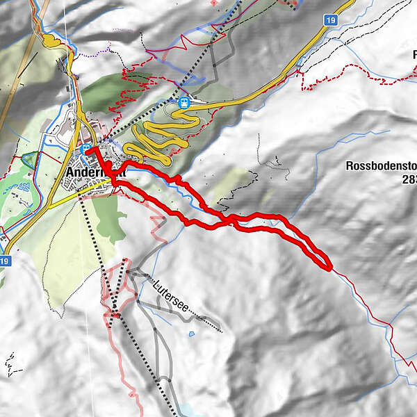
- Route
-
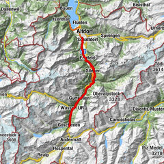
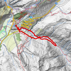
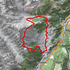
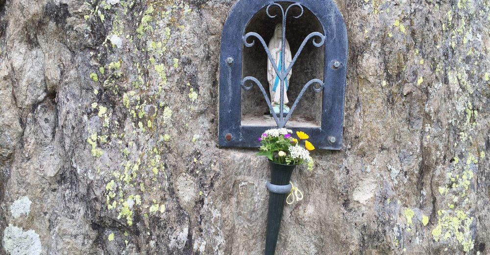
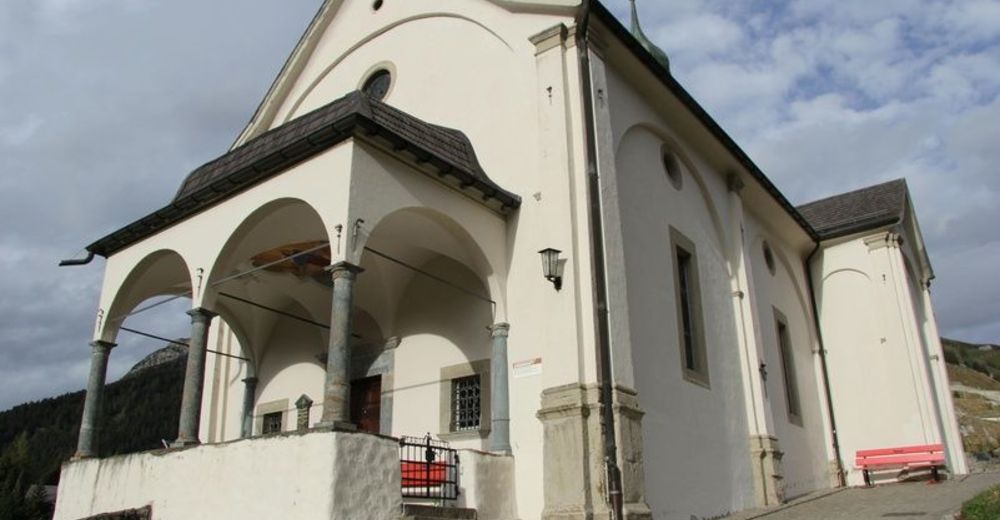
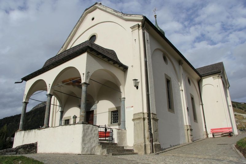
Andermatt (1,447 m)0.3 kmMariahilfkapelle0.6 kmAndermatt (1,447 m)7.7 kmAndermatt (1,436 m)8.0 km
- Best season
-
JanFebMarAprMayJunJulAugSepOctNovDec
- Highest point
- 1,590 m
- Endpoint
-
Bahnhof Andermatt
- Height profile
-
 © outdooractive.com

-

-
AuthorThe tour Familienwanderung Unteralp is used by outdooractive.com provided.
GPS Downloads


General info
Refreshment stop
Flora
Fauna