© Verein Urner Wanderwege - Markus Fehlmann
© Verein Urner Wanderwege - Markus Fehlmann
© Verein Urner Wanderwege - Markus Fehlmann
- Brief description
-
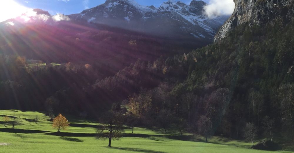
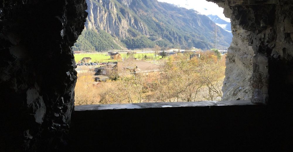
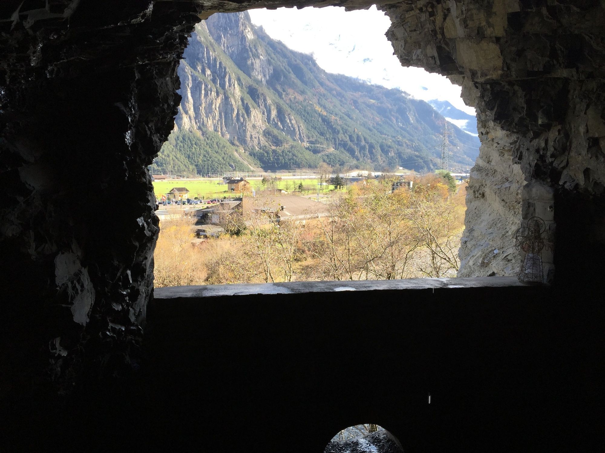
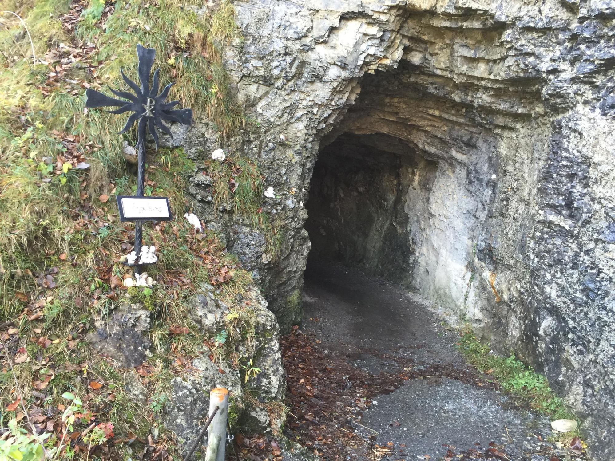
Eine wunderschöne Rundwanderung mit einer riesigen Vielfalt an Einblicken: Wald, Fluss, Schwerverkehrszentrum, Autobahn und Hochwasserschutzeinrichtungen.
- Difficulty
-
easy
- Rating
-
- Route
-
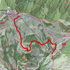
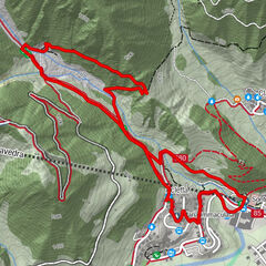
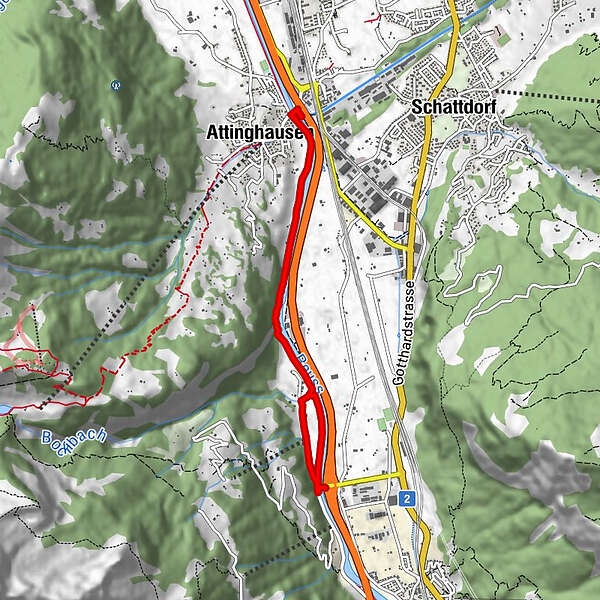
Attinghausen (468 m)0.1 kmAttinghausen (468 m)7.3 km
- Best season
-
JanFebMarAprMayJunJulAugSepOctNovDec
- Highest point
- 478 m
- Endpoint
-
Attinghausen
- Height profile
-
 © outdooractive.com

-

-
AuthorThe tour Gemütliche Wanderung durch die Tunnels am Hoch Weg is used by outdooractive.com provided.
GPS Downloads


General info
Refreshment stop
Cultural/Historical
Other tours in the regions
-
Uri
1542
-
Urner Unterland
858
-
Attinghausen
185