
- Brief description
-
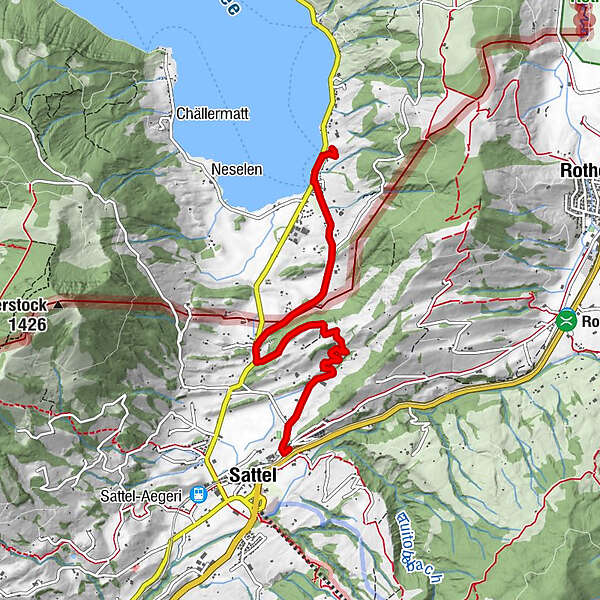
This thematic hike leads from the parish church in Sattel to the Morgarten monument on Lake Ägeri. It takes you to the original locations of the Morgarten story.
- Difficulty
-
medium
- Rating
-
- Route
-
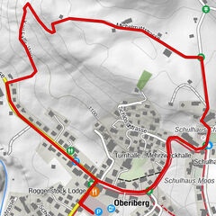
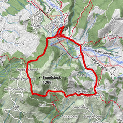
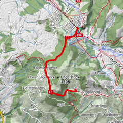
Pfarrkirche St. Peter und PaulSattel0.1 kmSchlachtkapelle2.5 kmSchornen2.9 kmHotel Restaurant Morgarten4.3 kmMorgarten4.5 kmRestaurant Buechwäldli4.7 kmMorgarten Denkmal (See) (729 m)4.7 km
- Best season
-
JanFebMarAprMayJunJulAugSepOctNovDec
- Description
-
Seven animated stations bring the Morgarten story to life. Quadrilingual radio plays with characters such as Duke Leopold, the court jester Kuoni von Stocken, knight Heinrich von Hünbnerg, and Werner Stauffacher take you back to the time of the Battle of Morgarten in 1315. A historian compares the radio play scenes with the current state of knowledge and scientific research You hike on mountain paths, hiking trails and asphalt roads - across meadows, through forests and past farms. The path is particularly suitable for families, school classes and those interested in history.
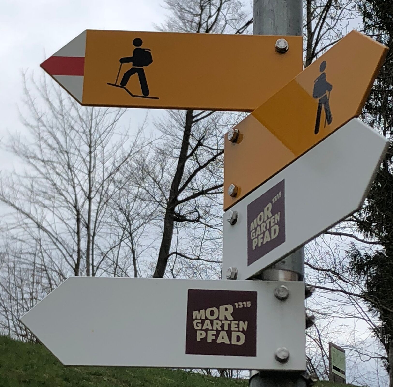
- Directions
-
The path starts at the Sattel parish church at “Pfaffenhütchenplatz” with the story of the excommunication of the Schwyzers. The view falls northwards onto the agricultural and historical landscape. The path winds along the base of the slope and leads us to the second animated station “Bauernwiese”. We now follow this asphalted path uphill and after just under a kilometer turn left along a meadow path towards Figlenflue.
As a reward for the climb, the “Stauffacher-Kanzel” offers a wonderful panoramic view of the Ägeri Valley and – practically vertically below the pulpit – of “Leopoldplatz”. “. So the two adversaries could have stood face to face, so to speak.
After the Figlenflue, a mountain path leads us down to the “Hellenbardenwald”, where the Habsburgs and Schwyzers met, and on to the Morgarten information center.
After the Letziturm, again following the path at the foot of the slope, we pass “Leopoldplatz”, and at Camping Morgarten we reach the “Hünenberghelm” station. Finally, after a short climb to the striking monument, we reach the fool's labyrinth, where history began from the Habsburg perspective.
- Highest point
- 881 m
- Endpoint
-
Morgartendenkmal am Ägerisee
- Height profile
-
 © outdooractive.com
 - Safety instructions
-
In the Figlenflue area the path leads over a mountain path. Accordingly, good footwear and sure-footedness are required.
- Tips
-
The Stauffacher Pulpit is located on the Figlenflue. There you can enjoy the view of the Aeger Valley and the approach route of the Habsburgs.


-

-
AuthorThe tour Morgarten path is used by outdooractive.com provided.


General info
-
Schwyz
1748
-
Erlebnisregion Mythen
872
-
Sattel Hochstuckli
368