
- Difficulty
-
easy
- Rating
-
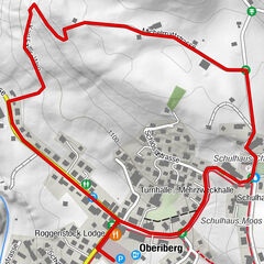
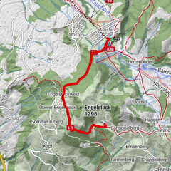
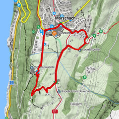
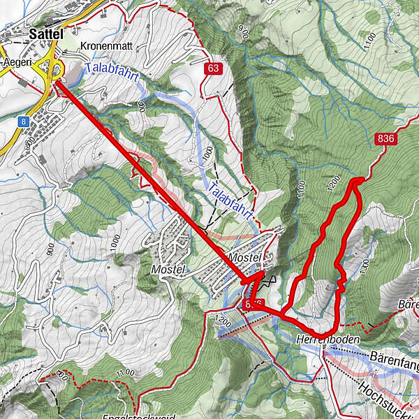
- Route
-
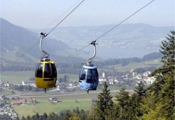
SattelSattel (Talstation Hochstuckli) (780 m)0.0 kmSattel Mostelberg (Bergstation) (1,190 m)1.7 km
- Highest point
- 1,309 m
- Height profile
-
 © outdooractive.com


- Author
-
The tour «der pfad» is used by outdooractive.com provided.
GPS Downloads


General info
Refreshment stop
Other tours in the regions
-
Schwyz
1745
-
Erlebnisregion Mythen
870
-
Sattel Hochstuckli
367