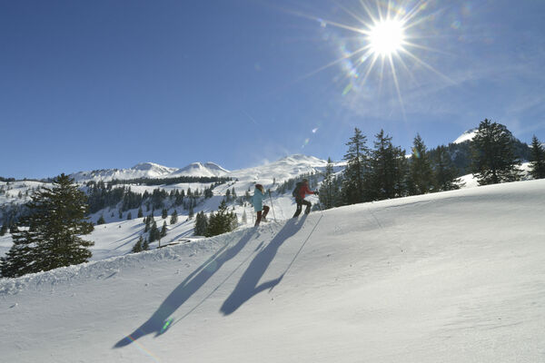
© Einsiedeln-Ybrig-Zürichsee - Stefan Gwerder

- Brief description
-
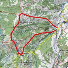
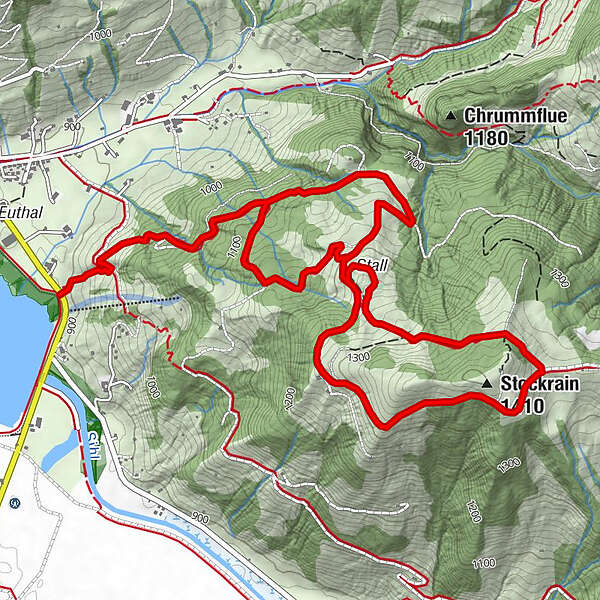
Unter Schweig - Zipfel - Heitligeer - Stockrain - Wisstannenweid - Heitligeer - Zipfel - Unter Schweig
- Difficulty
-
medium
- Rating
-
- Route
-
Stockrain (1,410 m)4.3 km
- Best season
-
AugSepOctNovDecJanFebMarAprMayJunJul
- Highest point
- 1,382 m
- Endpoint
-
Unter Schweig
- Height profile
-
 © outdooractive.com
- Author
-
The tour Wisstannenweid is used by outdooractive.com provided.
GPS Downloads


General info
A lot of view
Other tours in the regions
-
Schwyz
99
-
Einsiedeln-Ybrig-Zürichsee
54
-
Unteriberg
31