- Brief description
-
A delightful and well-signposted snowshoeing round trail on the Napf.
- Difficulty
-
difficult
- Rating
-
- Starting point
-
Luthern Bad
- Route
-
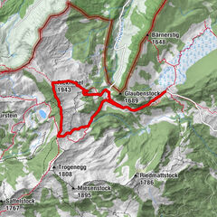
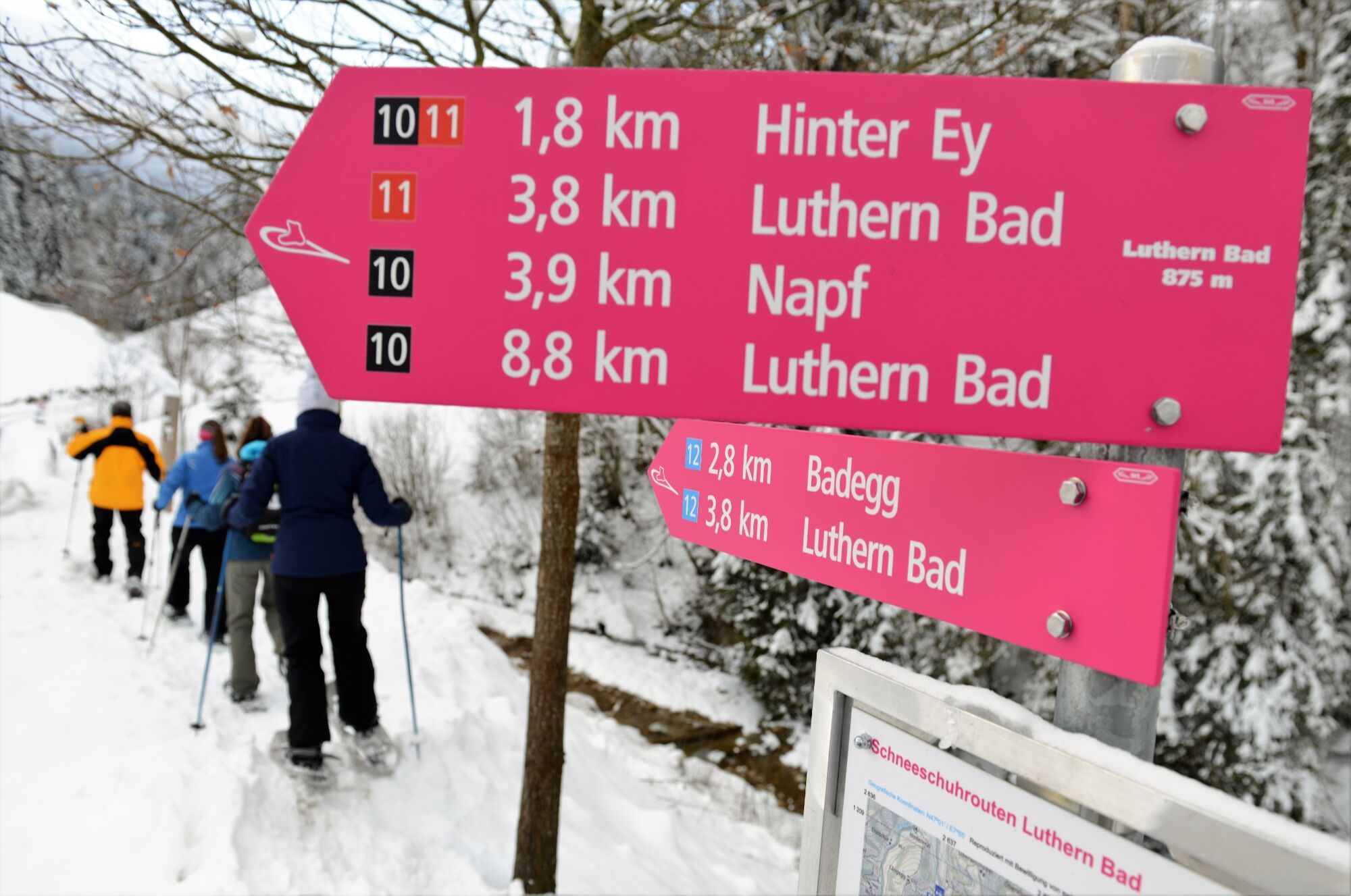
Luthern Bad0.0 kmGasthaus Hirschen0.0 kmHinter-Ey1.9 kmBergwirtschaft Trachselegg2.8 kmNapf4.1 kmGrüeblihängst (1,366 m)4.6 kmEyflue (1,286 m)6.3 kmBergwirtschaft Ober-Badegg8.1 kmGasthaus Hirschen8.9 kmLuthern Bad8.9 km
- Best season
-
AugSepOctNovDecJanFebMarAprMayJunJul
- Description
-
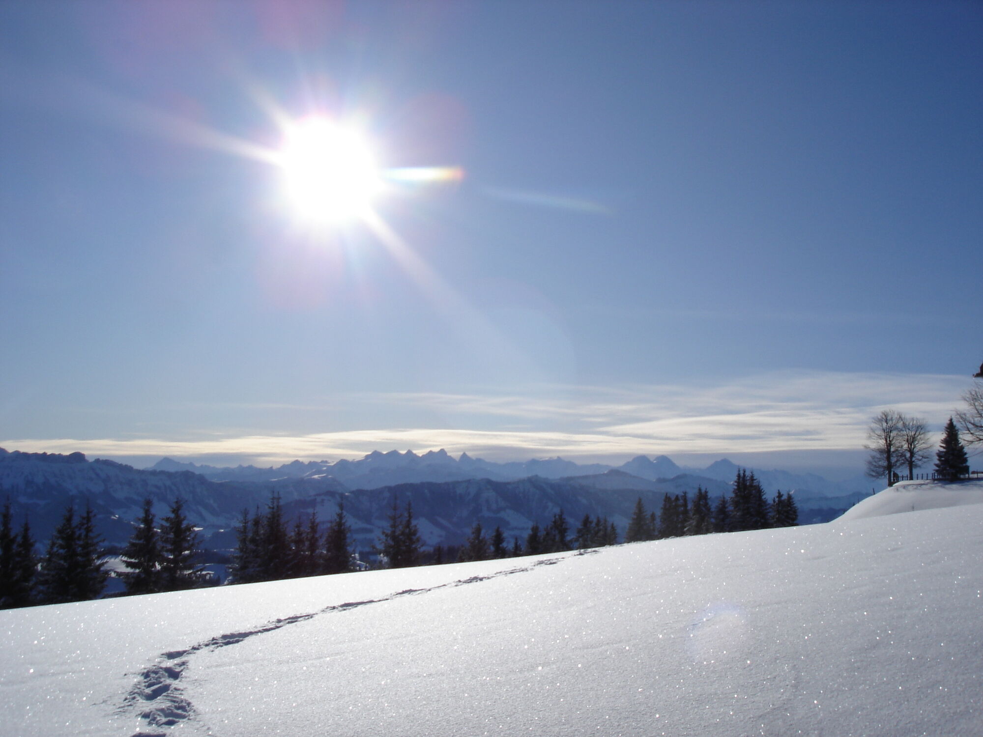
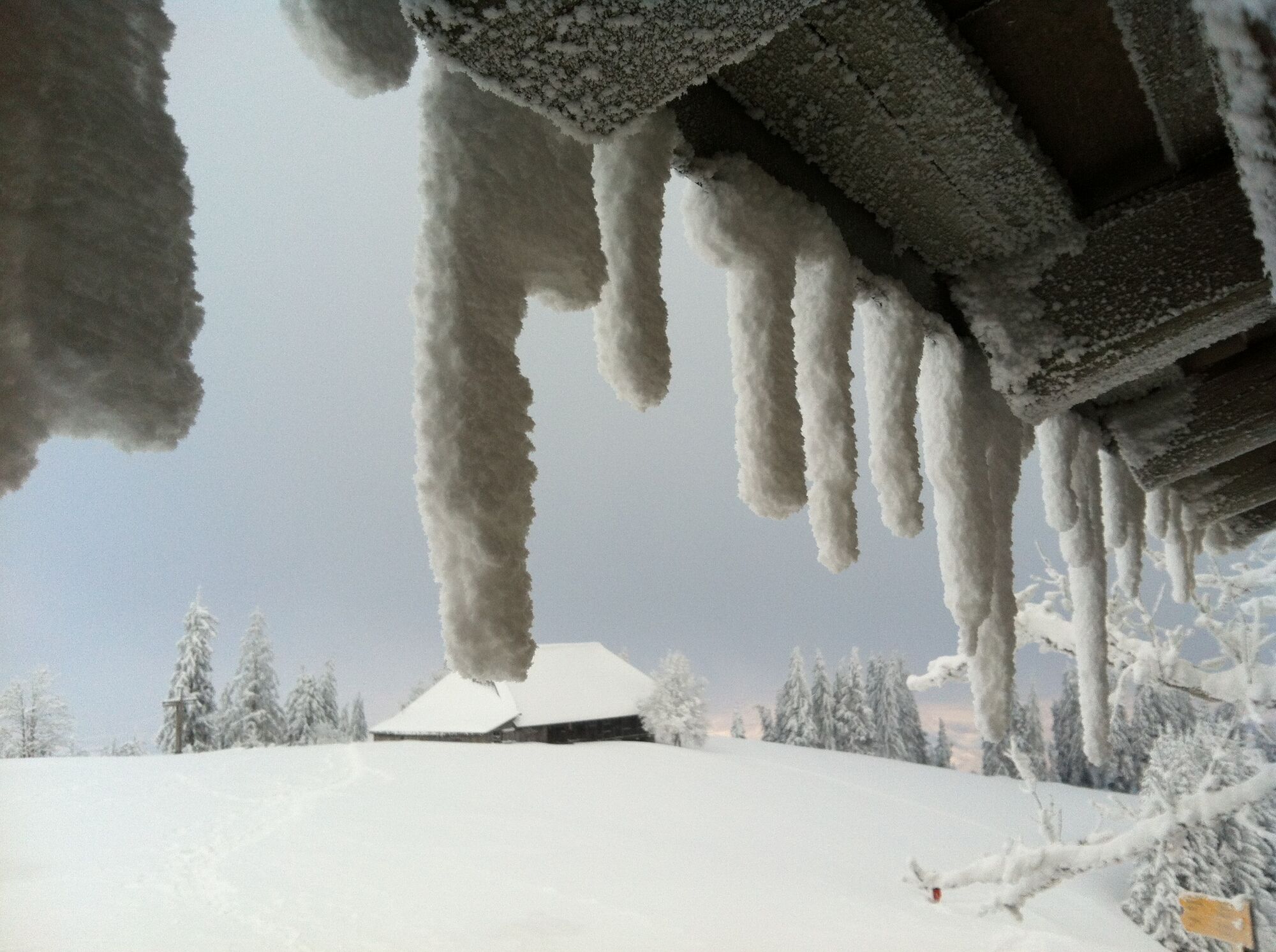
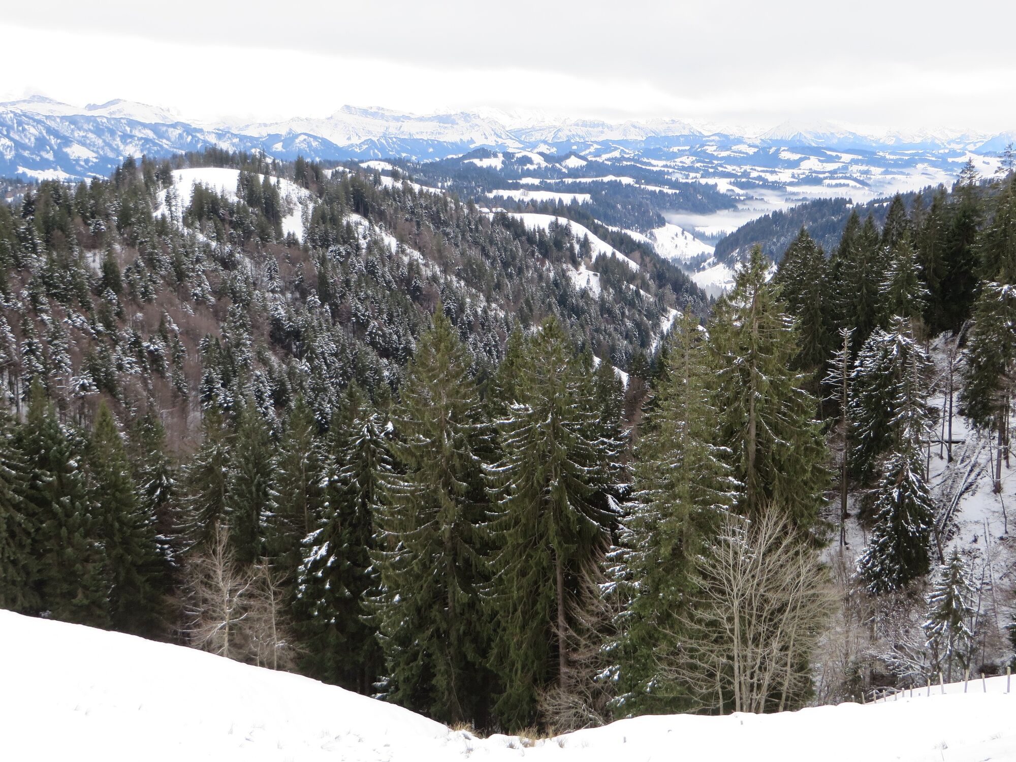
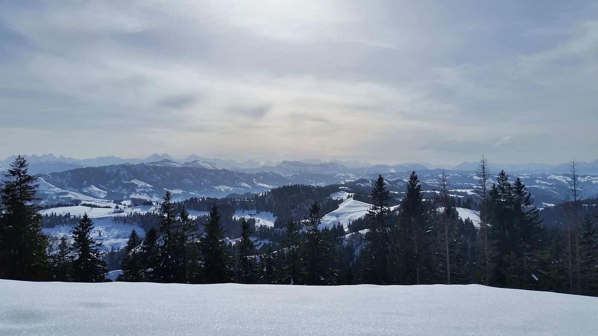
Starting at Luthern Bad, the trail follows the left bank of the Luther stream to Hinder-Ey farm. The trail climbs steeply rightwards through some woodland over the ridge up the hill to the Trachselegg alp, where the first views are worth pausing for. The path continues through the meadow up to the forest as it heads for the Napf. After a few loops in the steep forest you arrive at the summit complete with hotel and wonderful panoramic view. The return leg to Luthern Bad heads towards Niederänzi. First down the meadow, then through the forest again. At the first large clearing you have to turn right at the Bernese footpath sign. After a longish stretch through the forest you reach the Niederänzi alp. At this point the path goes down just before the farm to the right of the meadow along the edge of the forest. You soon see the Badegg restaurant, perfect for a coffee before the short steep descent to Luthern Bad, where it is worth visiting the Badbrünnli "place of power". This spring with its healing water has been a popular pilgrimage destination for 450 years.
- Highest point
- 1,400 m
- Endpoint
-
Luthern Bad
- Height profile
-
 © outdooractive.com
 - Safety instructions
-
The snow situation has to be considered, especially in the steep woods before and after the Napf - mini-avalanches can also occur in woodland!
- Additional information
- Public transportation
-
Train to Zell then PostBus to Luthern Bad.

-

-
AuthorThe tour From Luthern Bad to the Napf is used by outdooractive.com provided.


General info
-
Obwalden
122
-
UNESCO Biosphäre Entlebuch
39
-
Luthern
6