© Unbekannt - Sedrun Disentis Tourismus

© Sedrun Disentis Tourismus - Heidi Meier

© Sedrun Disentis Tourismus - Heidi Meier

© Sedrun Disentis Tourismus - Heidi Meier

© Sedrun Disentis Tourismus - Heidi Meier
- Brief description
-
Welcome to the multi-day Rhine Route No. 2, which is well signposted along the entire route.
- Difficulty
-
difficult
- Rating
-
- Starting point
-
Andermatt
- Route
-
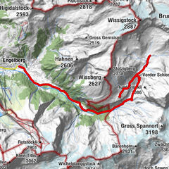
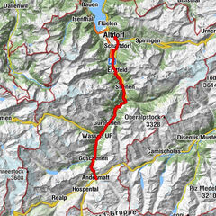
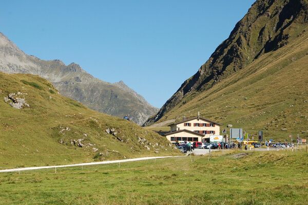
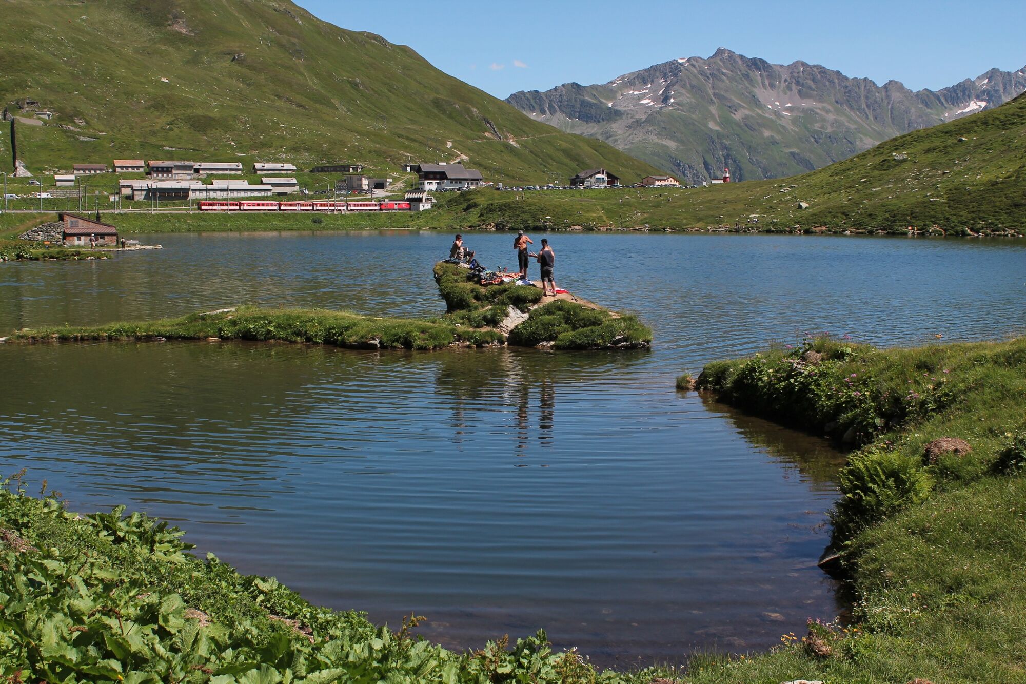
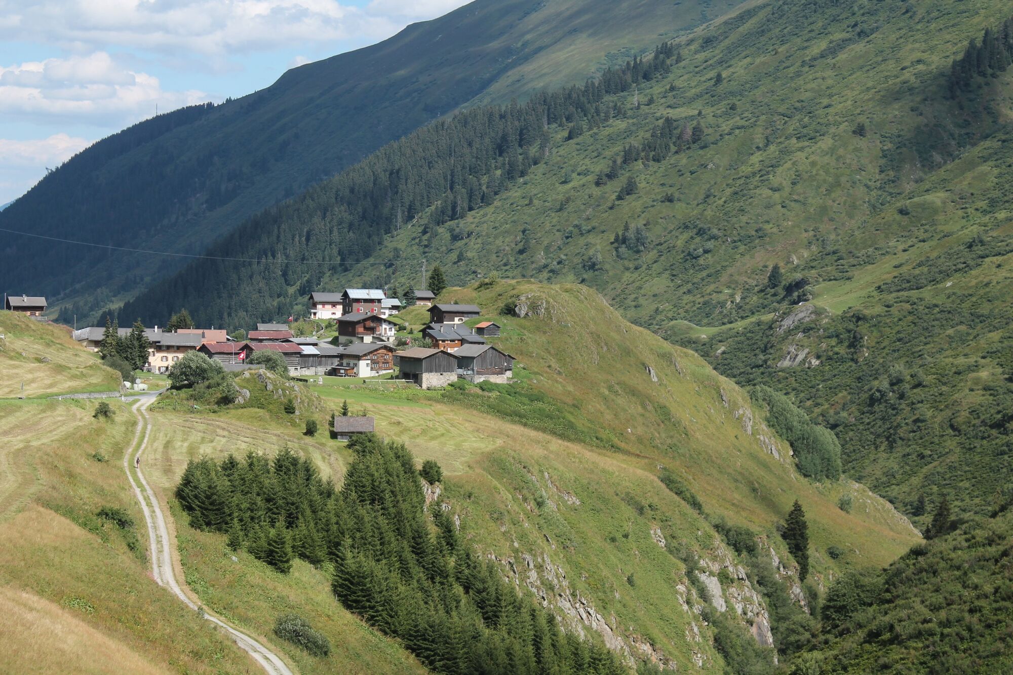
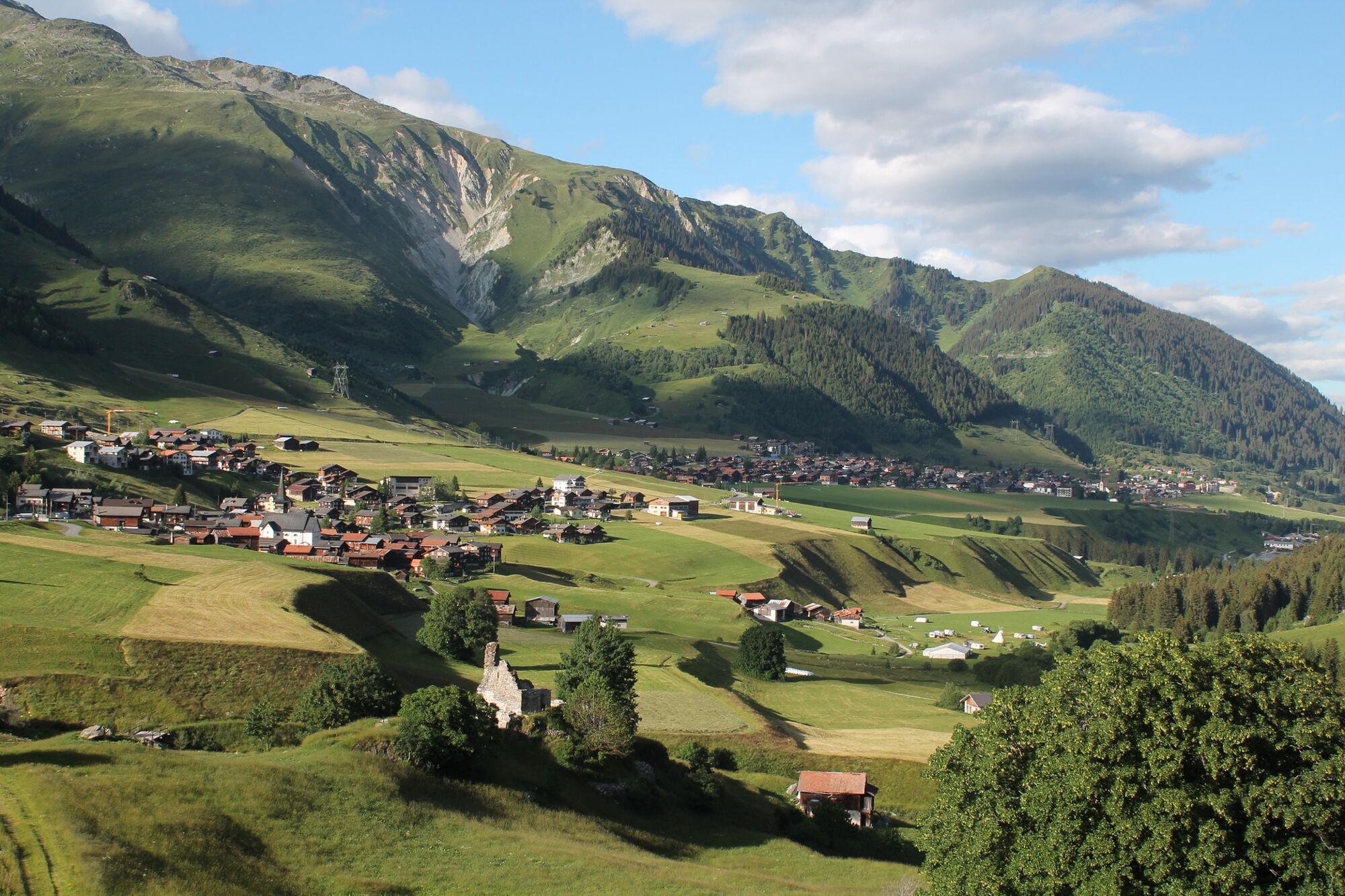
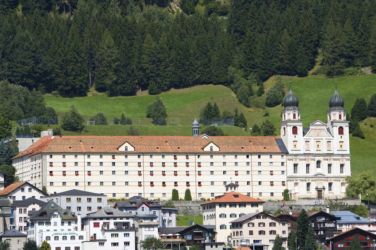
Andermatt (1,447 m)Oberalppass (2,033 m)10.4 kmPiz Calmot10.4 kmGasthaus Piz Calmot10.6 kmTschamut16.0 kmAnitas Rheingärtli16.0 kmSelva17.0 kmRueras20.7 kmPosta20.7 kmZarcuns21.5 kmCuschina Menono21.9 kmChaplutta S. Onna22.0 kmHotel Mira22.3 kmCamischolas22.3 kmIl Badus22.4 kmSedrun22.8 kmBugnei24.0 kmGarmischeras25.4 kmCrestas25.5 kmCaglia26.7 kmTscharschès27.9 kmRuaunas28.2 kmPalius28.5 kmBuretsch29.3 kmCuoz29.4 kmPrau30.0 kmDisentis31.7 kmRaveras31.7 km
- Best season
-
JanFebMarAprMayJunJulAugSepOctNovDec
- Description
-
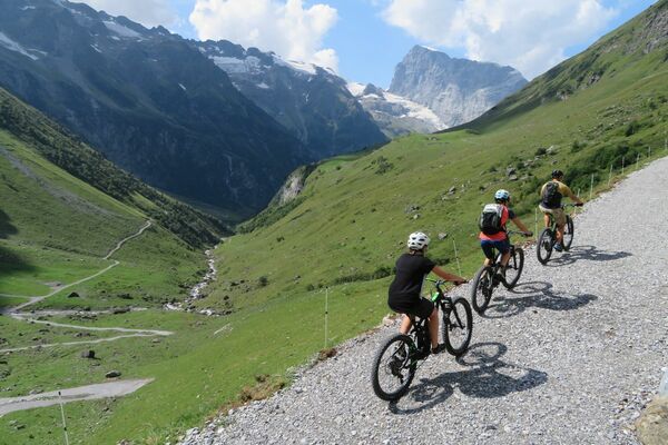
The Rhine Route accompanies the Alpine river from its origin in the mountains to the large Rhine ports of Basel. On varied paths, the journey leads through many landscapes that this powerful river has created over time.
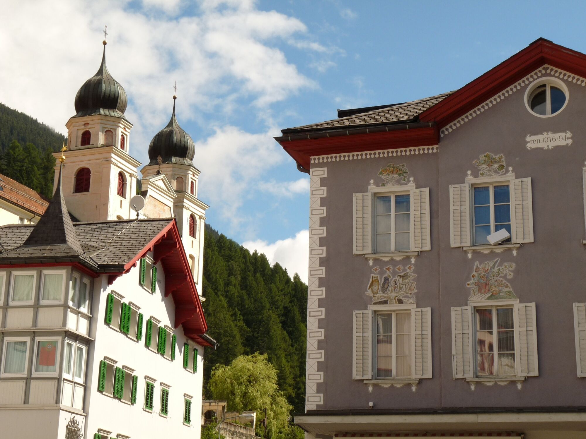
The first stage leads from Andermatt over the Oberalp Pass to Disentis, from the canton of Uri to the canton of Graubünden, from the German-speaking region to the Rhaeto-Romanic. Cordial Beinvegni!
Travel comfortably from accommodation to accommodation and benefit from the luggage transport.
www.rheinroute.com
- Directions
-
Andermatt - Oberalppass - Sedrun - Disentis
- Highest point
- 2,045 m
- Endpoint
-
Disentis
- Height profile
-
 © outdooractive.com
- Author
-
The tour 02.01 Rhine Route, Stage 1 Andermatt - Disentis is used by outdooractive.com provided.
GPS Downloads
General info
Refreshment stop
Cultural/Historical
A lot of view