

- Brief description
-
This tour is a great early or late season tour for relatively fit beginners to mountain biking.
- Difficulty
-
medium
- Rating
-
- Starting point
-
Lachen Train Station
- Route
-
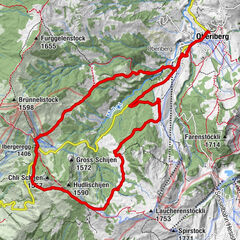
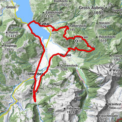
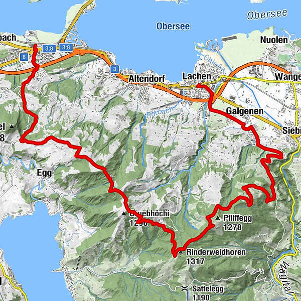
Lachen (408 m)Lachen SZ (417 m)0.1 kmOberdorf0.2 kmGalgenen2.3 kmKapelle St. Jost2.5 kmGschwänd9.2 kmRinderweidhoren (1,317 m)14.0 kmAlpwirtschaft Gueteregg17.1 kmGueteregg17.1 kmSt. Meinrad23.6 kmPfäffikon (416 m)27.6 kmZentrum Staldenbach28.0 km
- Best season
-
JanFebMarAprMayJunJulAugSepOctNovDec
- Description
-
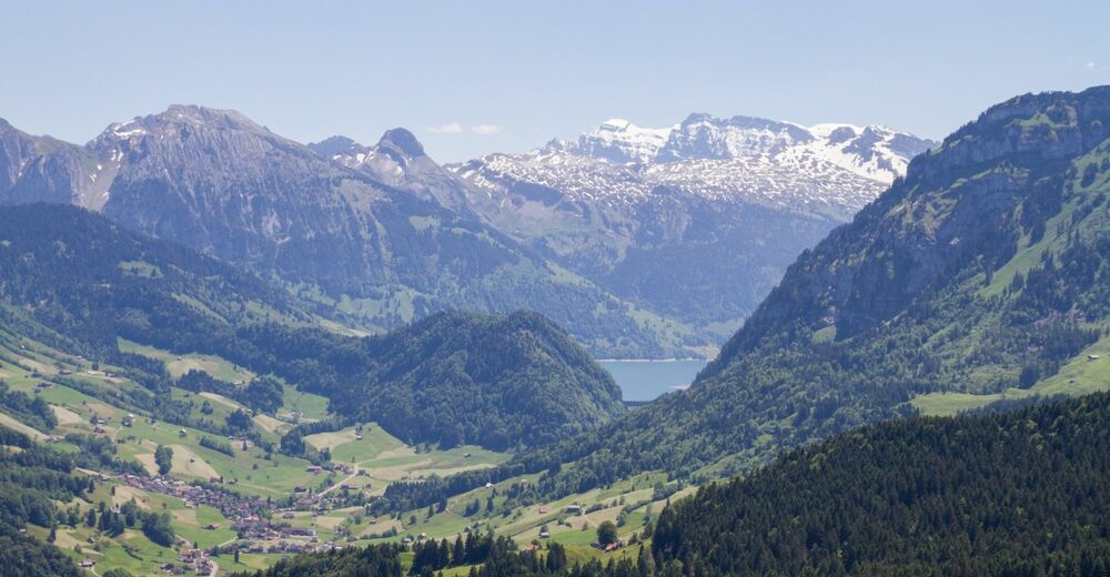
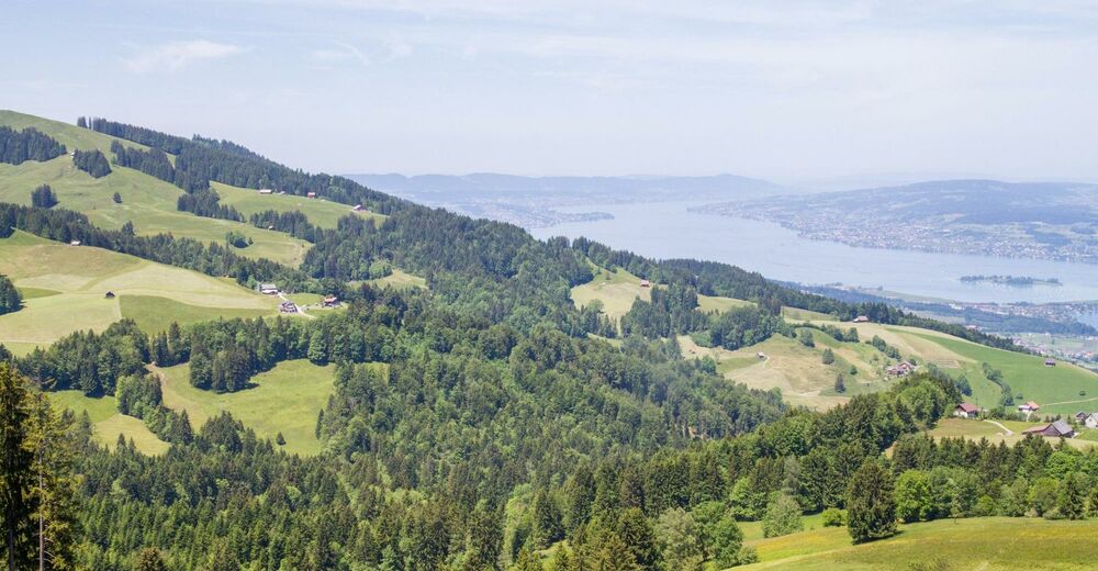
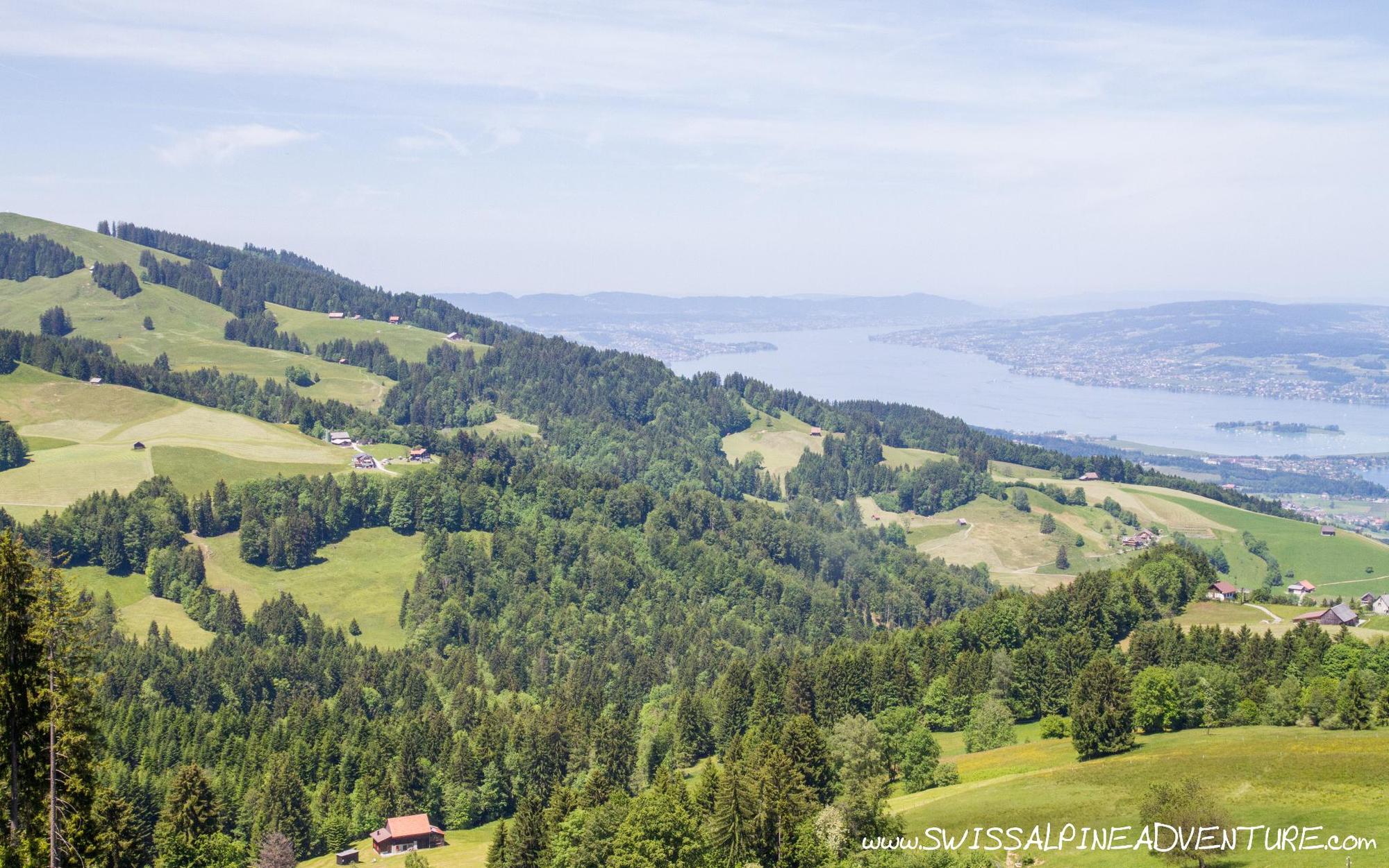
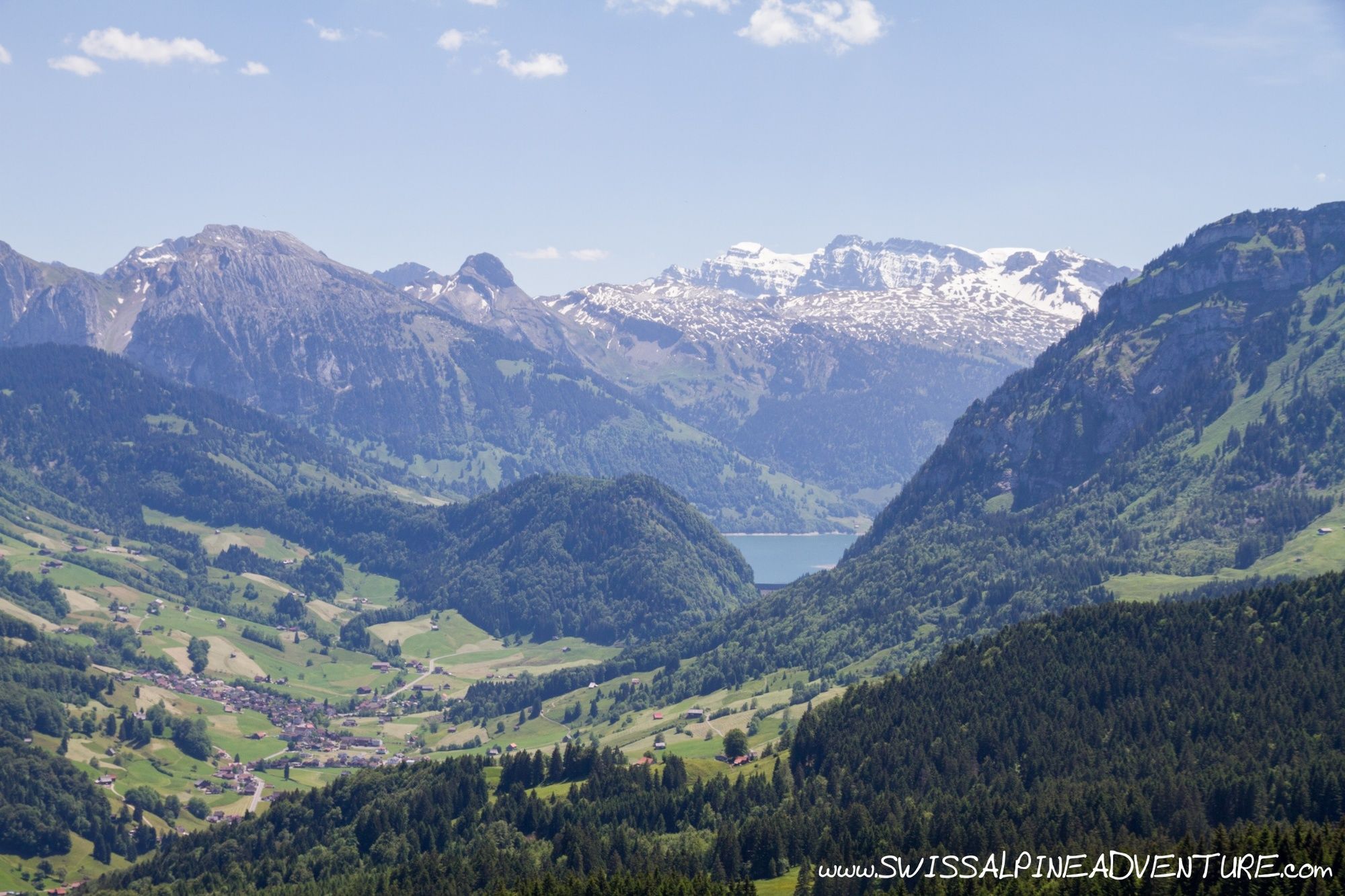
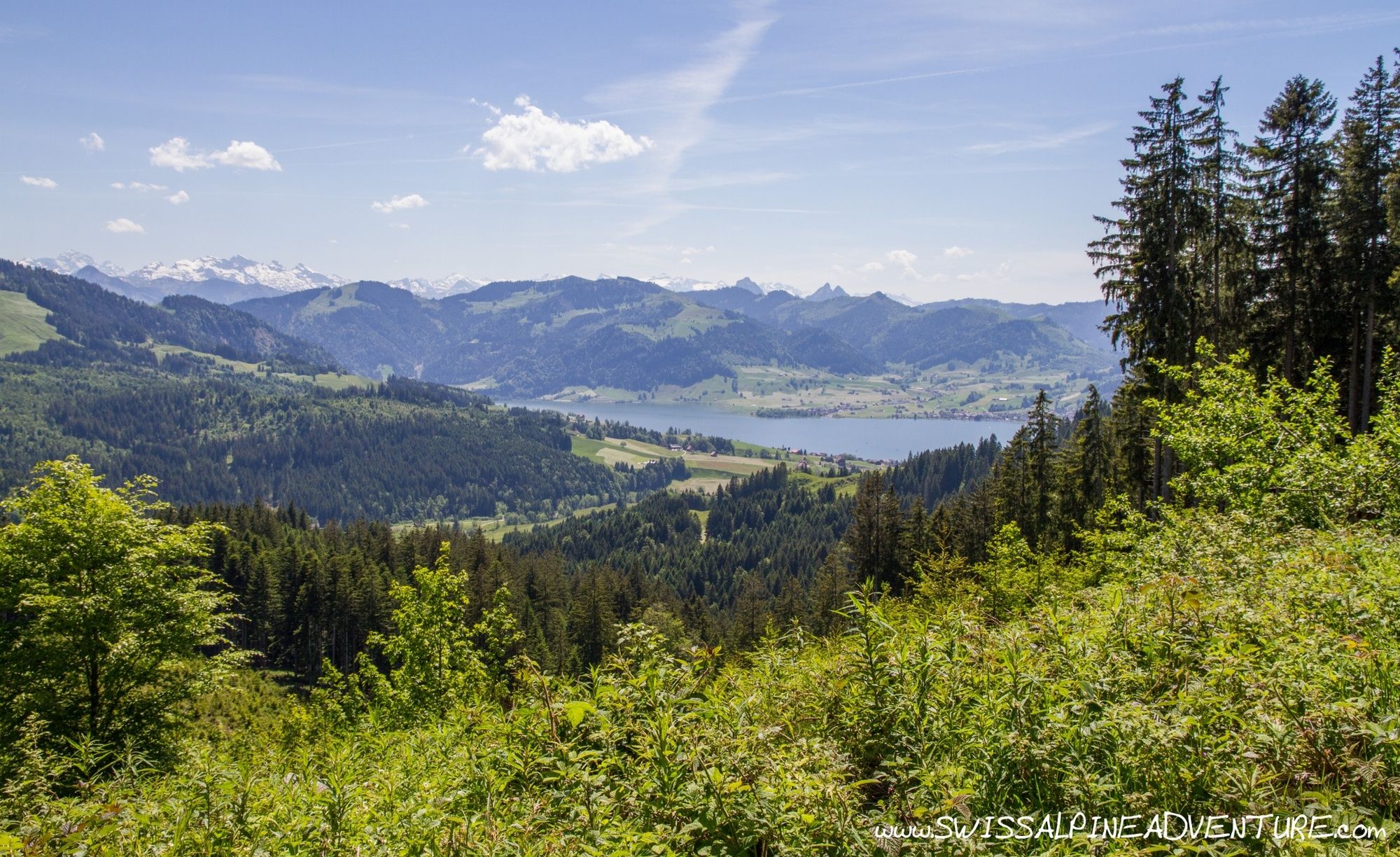
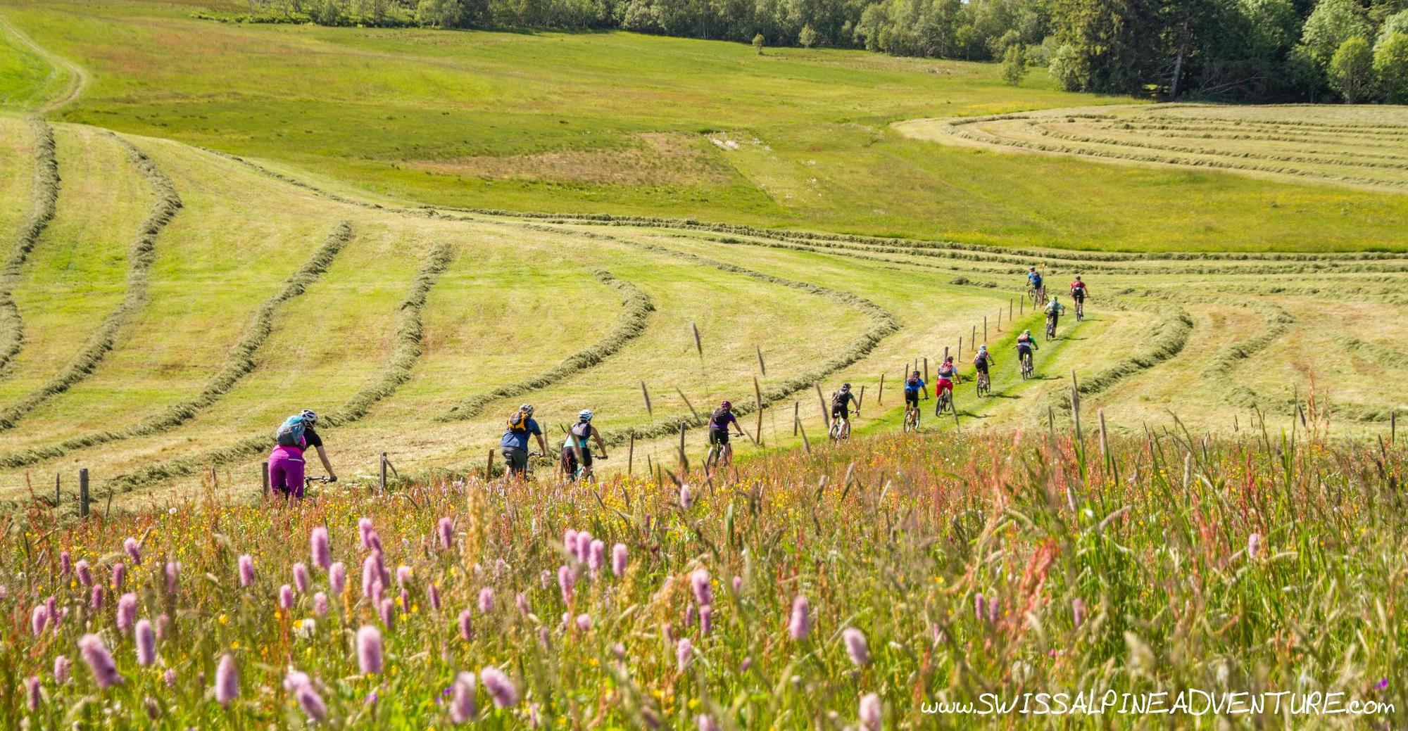
This tour is a great early or late season tour for relatively fit beginners to mountain biking. The first climb is quite long and unrelenting with about 900m of vertical in one go not long after leaving the train station in Lachen. Once at the top of this there is a perfect rest spot with stunning views over Wagitalersee that can be enjoyed before continuing along the undulating gravel roads towards St. Meinrad. The most difficult sections of singletrail can be easily avoided if neccesary.
- Directions
-
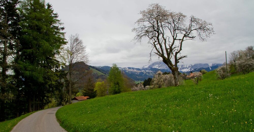
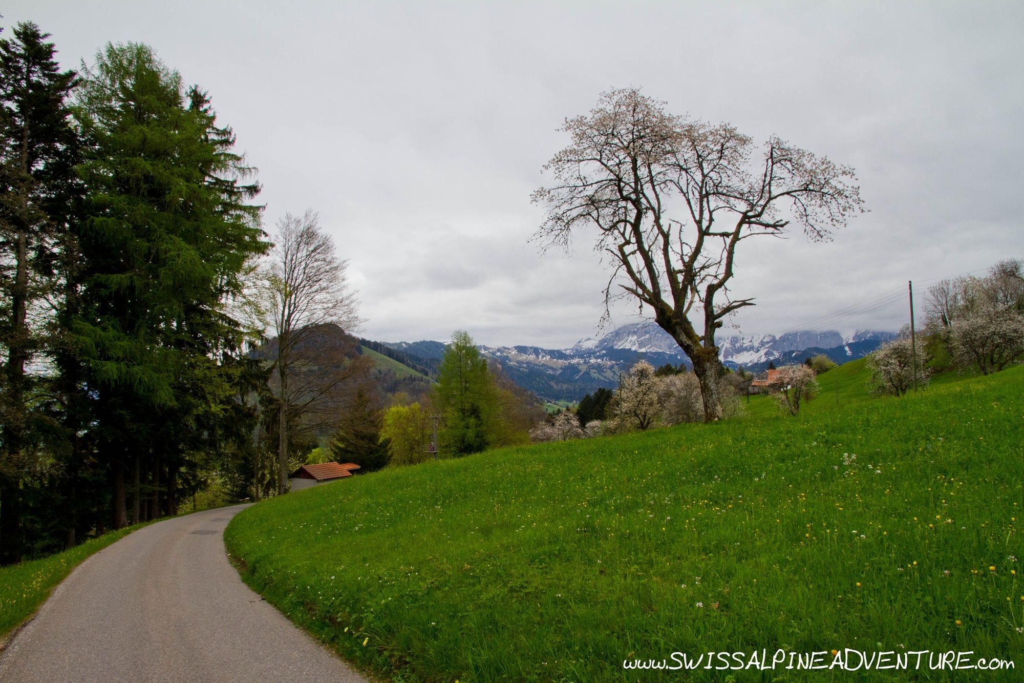
From Lachen train station ride east until you get to the Motorway cross the Motorway and take the second street to the left towards Steinegg. Pass under the Autobahn and turn right in Steinegg, cross the river and keep riding past Chapellhof. Follow the road around to point 437 and turn right to start the climb.
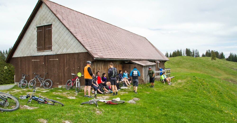
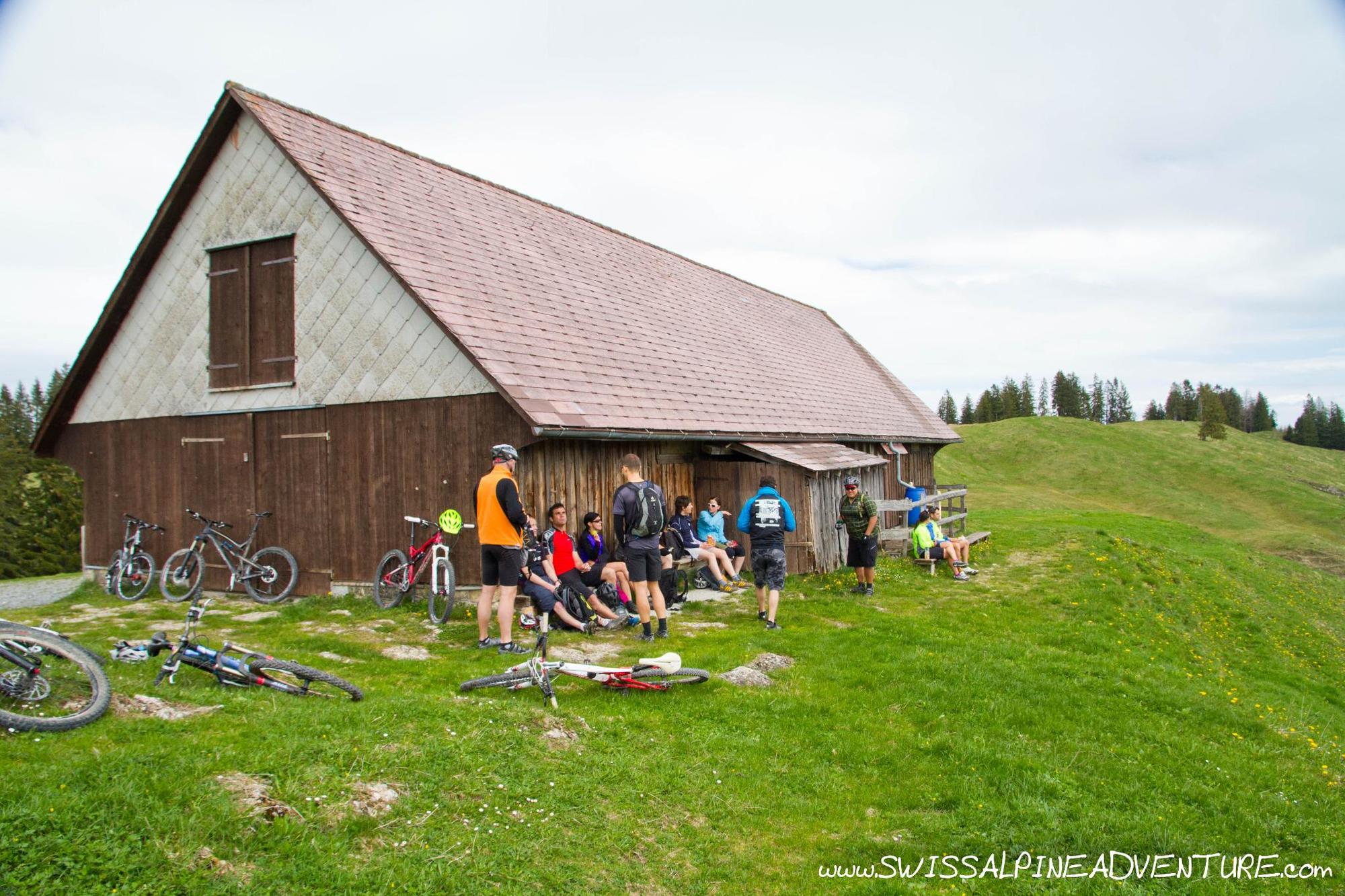
Keep following the paved road up Vorderbergstrasse towards Pfifegg the road remains paved but relatively steep for a number of kilometres. Keep following signs for a ski hut and eventually the road will become unpaved and shortly after turns to the left. You are now near the top of the climb and the lookout over Wagitalersee (Pfifegg). As the route starts to flatten off a little look out for a turn off where another unpaved road turn almost back on itself to your left towards a wooden farm building. The view from this building is well worth taking in and it serves as a great place to have a rest after the climb.
Once you have rested enough turn around and ride back down to the road you came up, but turn left instead of going back where you came from and ride on towards Rinderweidhorn. At Rinderweidhorn turn right and follow the mainly unpaved road following signposts towards Gueteregg where there is a small mountain restaurant.
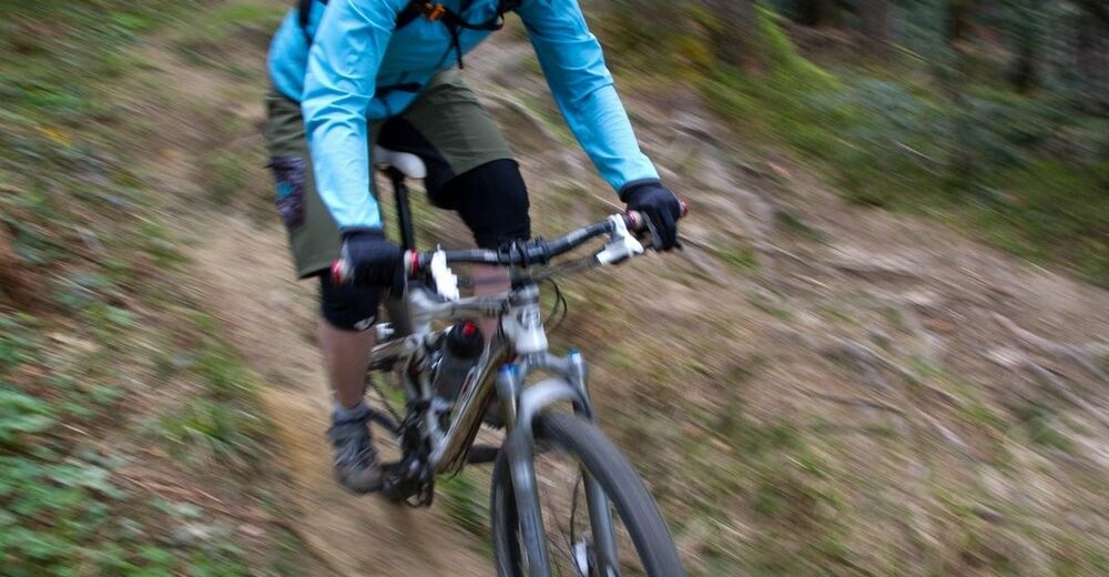
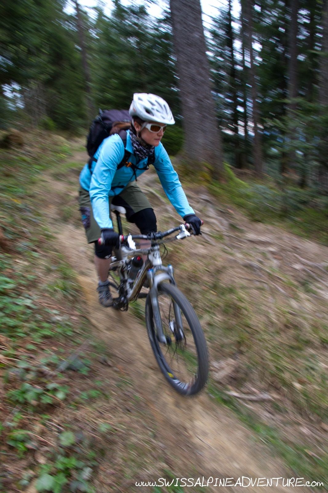
From Gueteregg there is a single trail that leads towards St. Meinrad. Follow this single trail, if you don't mind the extra few metres of climbing take the trail up to Stöcklichreuz. In general the single trail here is not overly technical and suitable for intermediate bikers.
Shortly after Chornlisegg the road becomes paved again, there is a single trail that veers right off the road which allows you to ride trail almost the whole way down to St. Meinrad
From St. Meinrad turn right on the paved and just as you leave the village there is a small trail and some steps going down steeply to the left which rejoins the paved road a little lower down. You can take this trail and keep following it the whole way to Pfaffikon.
- Highest point
- 1,293 m
- Endpoint
-
Pfäffikon SZ Train Station
- Height profile
-
 © outdooractive.com
 - Equipment
-
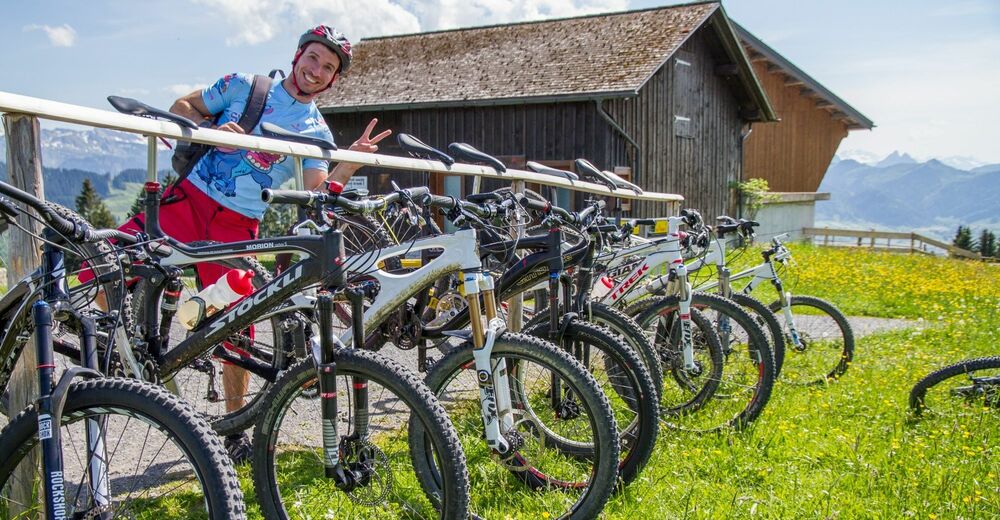
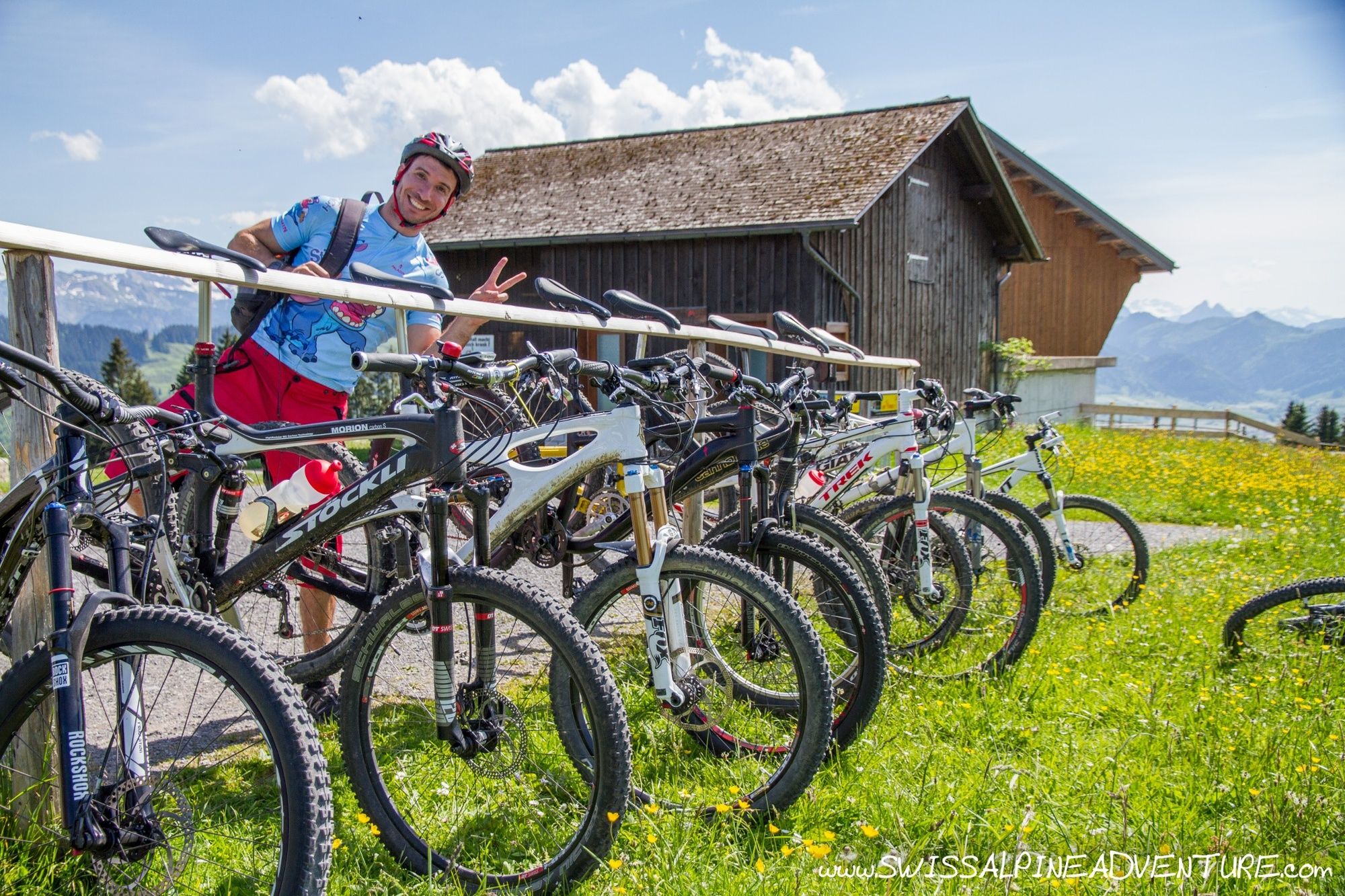
A good hardtail or full suspension mountain bike is ideal for this tour.
- Safety instructions
-
In early May there may still be short sections of snow which you will need to walk through near the top of the climb.
- Tips
-
This tour is particularly nice on a sunny day in May or June.
- Additional information
- Directions
-
Take the A3 from Zurich. Exit Lachen and follow signposts to the train station.
- Public transportation
- Parking
-
Car parking is available near the train station in either Lachen or Pfäffikon SZ
-

-
AuthorThe tour Rinderweidhorn is used by outdooractive.com provided.


General info
-
Schwyz
196
-
Einsiedeln-Ybrig-Zürichsee
79
-
Altendorf SZ
25