- Brief description
-
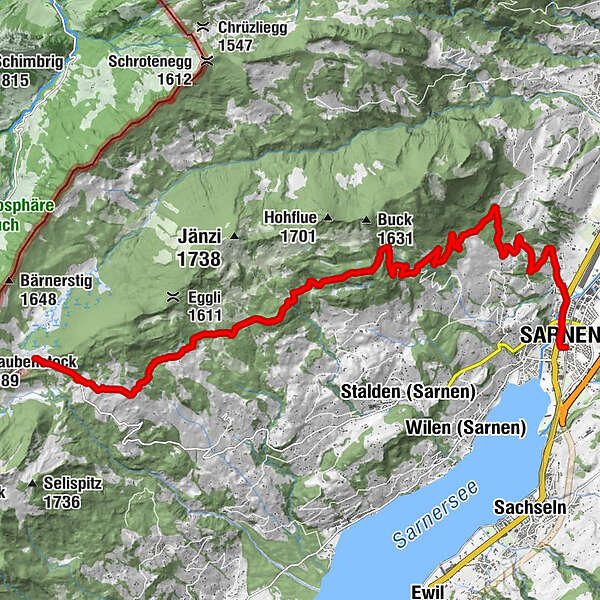
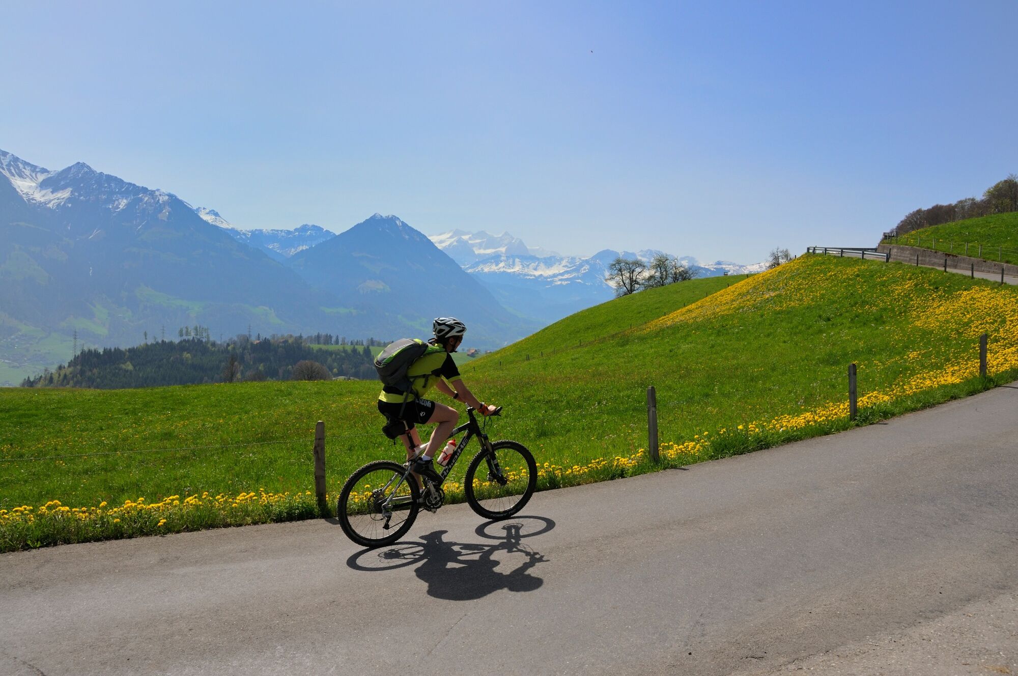
Idyllic bike tour from Sarnen into the flowery high moorland landscape of the Langis.
- Difficulty
-
medium
- Rating
-
- Starting point
-
Sarnen
- Route
-
Sarnen (473 m)Sarnen (471 m)0.2 kmSchälf7.4 kmLangis (1,442 m)17.5 km
- Best season
-
JanFebMarAprMayJunJulAugSepOctNovDec
- Description
-
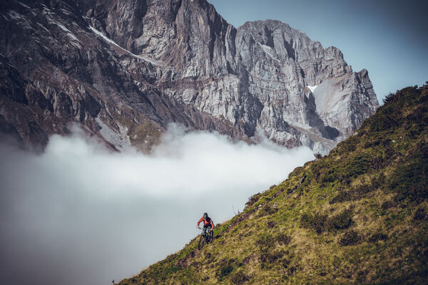
Passing bubbling streams and through secluded forests, unexpected vantage points open up with views of the Central Swiss and Bernese glacier peaks.
North of Sarnen, past the two-storey hive and the Chapel of the Holy Cross, the view opens up on the left to the village of Sarnen and the striking valley cut to the Melch valley. Lake Alpnach, the Stanserhorn, the Rigi and the Mythen can be seen through the next clearing in the forest to the north. In the midst of the exotically colourful flora just before Alp Liebäfang, fresh mountain spring water offers a chance to replenish your drink supplies.
A somewhat steeper concrete road winds up to the snow hole, where it turns into a gently ascending forest road. Schwanden's Schluochtseeli lake shimmers black on the left. A newly constructed connecting path leads through the quiet moorland.
- Highest point
- 1,459 m
- Endpoint
-
Langis
- Height profile
-
 © outdooractive.com
-

-
AuthorThe tour Langis Bike is used by outdooractive.com provided.


-
Obwalden
170
-
Melchsee - Frutt
71
-
Sarnen - Langis
26