
- Brief description
-
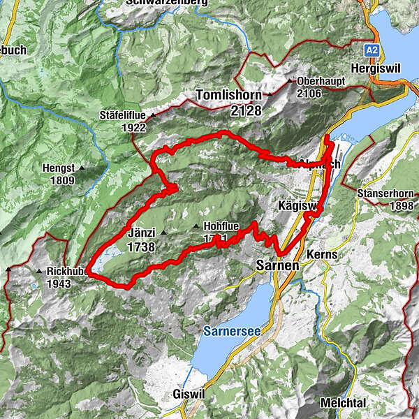
This challenging yet idyllic tour leads along the Sarneraa into the largest moorland landscape in Switzerland. A discovery MTB tour through the uniquely diverse Obwalden landscape with challenging single trails.
- Difficulty
-
medium
- Rating
-
- Route
-
Alpnach (542 m)2.0 kmKägiswil5.4 kmAhorni5.6 kmSonnenhof6.5 kmSonnenhof7.6 kmSarnen (471 m)8.3 kmSchälf14.9 kmLangis (1,442 m)24.6 kmAndresenhütte26.0 kmInfo-Tafel Rate-Bär26.2 kmBaumschule26.4 kmInfo-Tafel Der grosse Bär26.7 kmLochalp30.0 kmSchrotenegg (1,612 m)34.3 kmChrüzliegg (1,547 m)35.1 kmLütholdsmatt40.9 kmMeisi45.8 kmAlpnach (542 m)47.0 km
- Best season
-
JanFebMarAprMayJunJulAugSepOctNovDec
- Description
-
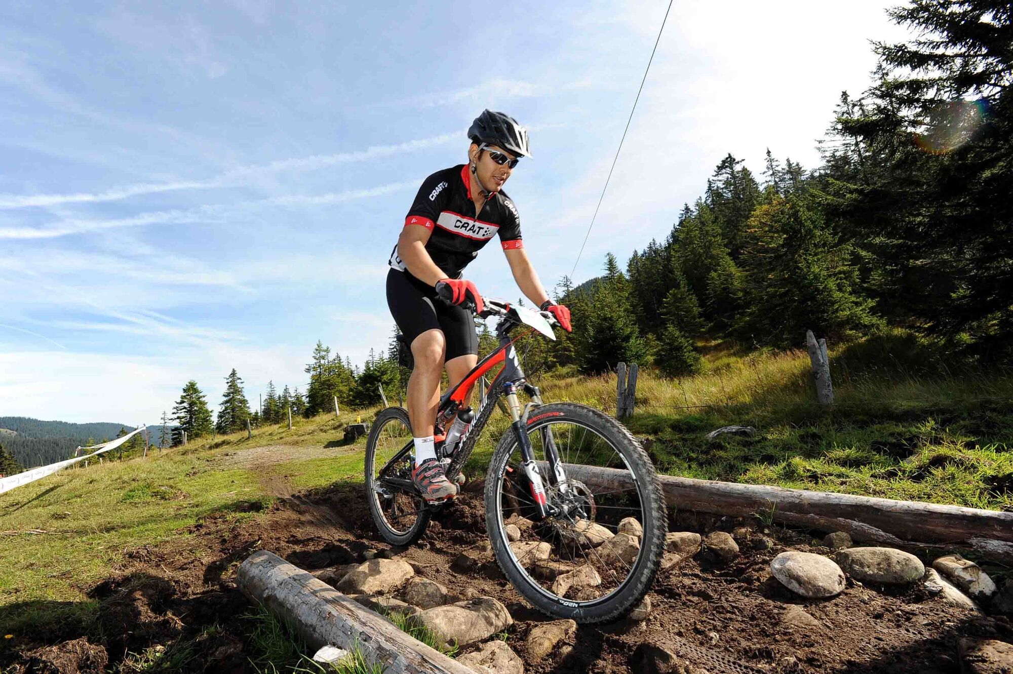
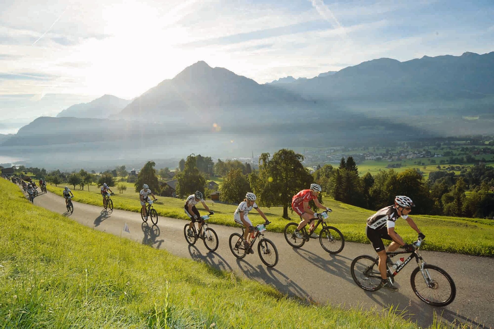
The start of the o-tour Bike West is at Alpnachstad station, where the world's steepest cogwheel railway to Mount Pilatus and the landing stage for boats to Lake Lucerne are located. After a leisurely start on the valley floor past Lake Wichel to Sarnen, the ascent then follows the Langis-Bikesteil route to the Glaubenberg area. The route then takes you through the largest moorland in Switzerland via the Schlieren valley and over Alp Horweli to the highest point, the Schrotenegg. Soon the first single trail begins across the alp pasture down towards Lütholdsmatt. This is where the Franzosenweg starts. Around five kilometres of single trail down to the valley. If you prefer a more leisurely ride, take the metalled mountain road down towards Alpnach.
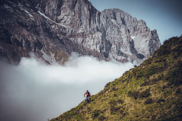
The route offers everything a biker's heart desires: tough climbs, unmetalled surfaces, single trails, great views and unique landscapes. There are also several simple restaurants along the route.
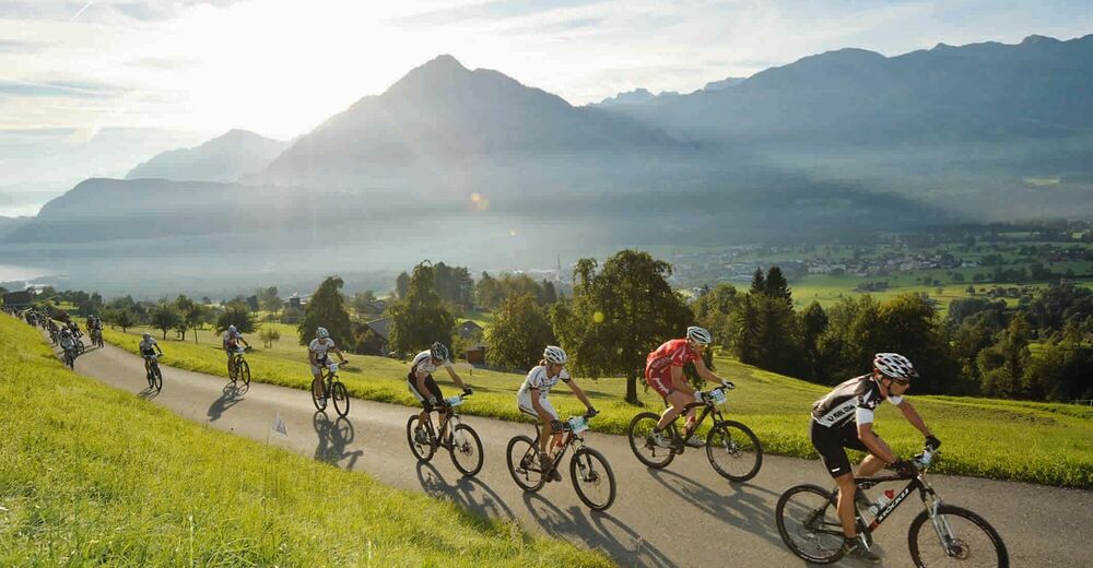
The o-tour Bike West was created by the annual o-tour Bike Marathon Obwalden event, which takes place every September. The race route leads through the same areas, but only parts of its are the same as the o-tour Bike West route.
- Highest point
- 1,613 m
- Height profile
-
 © outdooractive.com
 - Safety instructions
-
Due to the passage through the high moor, it is recommended that you negotiate the route in dry weather only .
- Additional information
-
This route is signposted in one direction only. It can also be followed in the opposite direction. From Alpnach to Lütholdsmatt take the mountain road for the ascent. Pushing section between Rischigenmatt and Älggäu, approx. 10 min.
-

-
AuthorThe tour o-tour Bike West is used by outdooractive.com provided.