© UNESCO Biosphäre Entlebuch - outsideisfree.ch

© UNESCO Biosphäre Entlebuch - outsideisfree.ch
© UNESCO Biosphäre Entlebuch - outsideisfree.ch
© UNESCO Biosphäre Entlebuch - outsideisfree.ch

© UNESCO Biosphäre Entlebuch - outsideisfree.ch

© UNESCO Biosphäre Entlebuch - outsideisfree.ch

© UNESCO Biosphäre Entlebuch - outsideisfree.ch
© UNESCO Biosphäre Entlebuch - outsideisfree.ch
© UNESCO Biosphäre Entlebuch - outsideisfree.ch
- Brief description
-
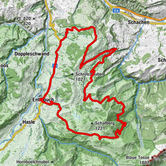
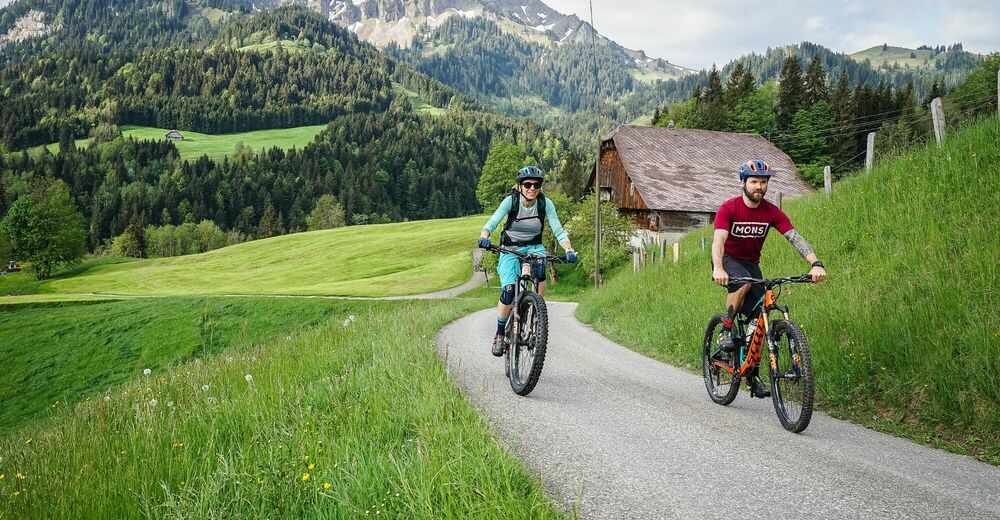
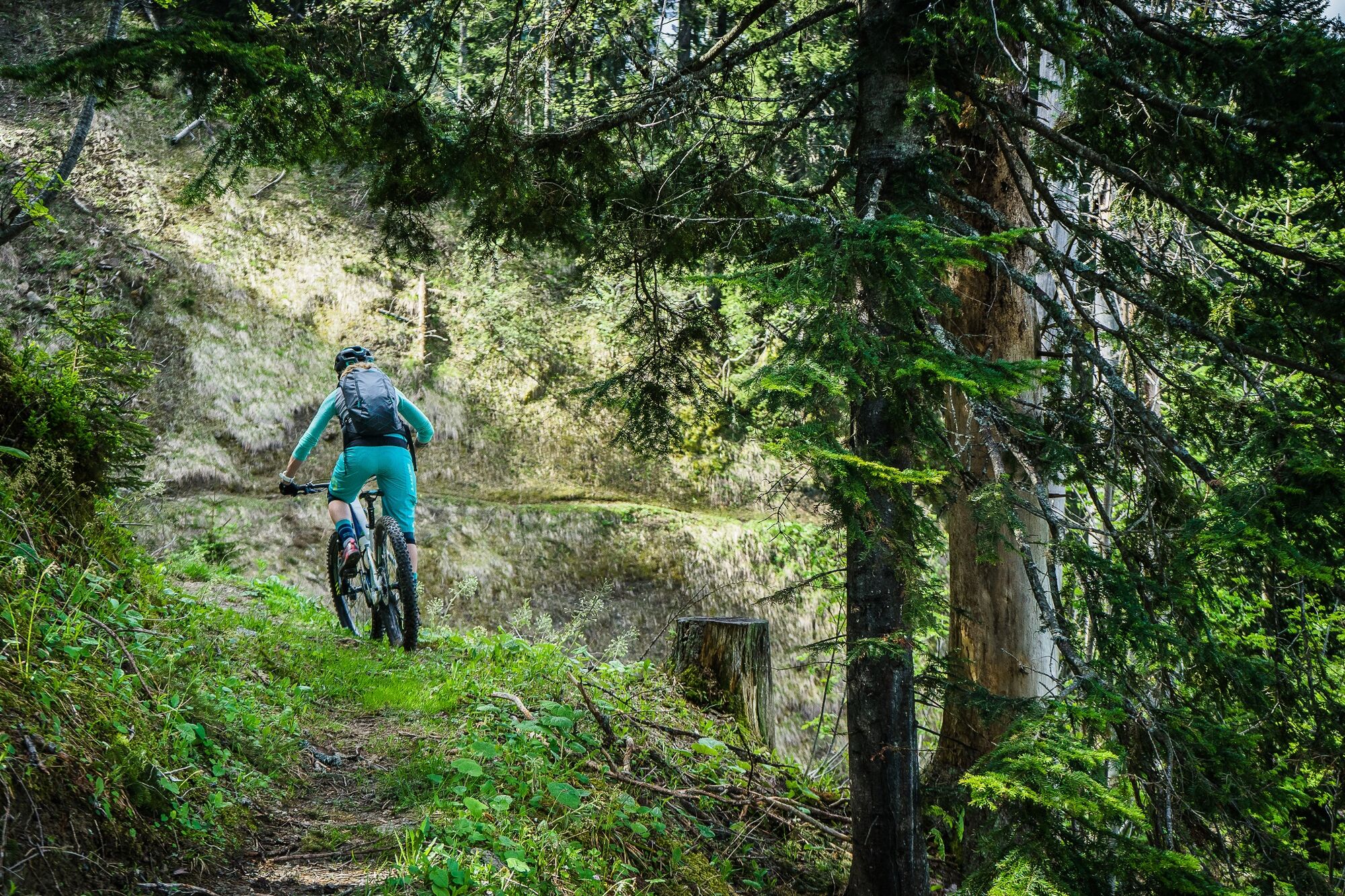
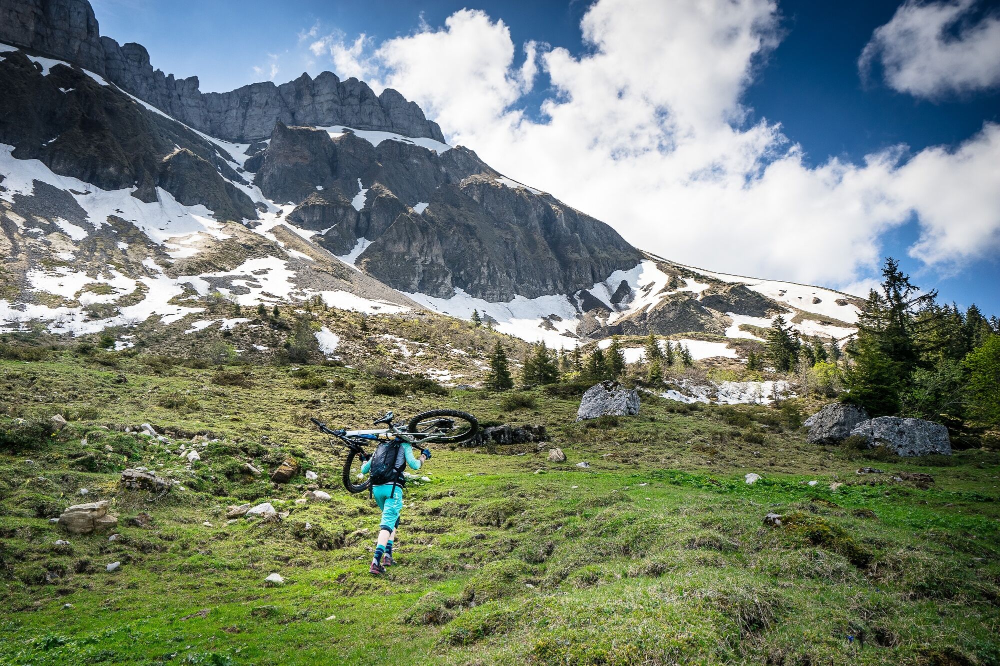
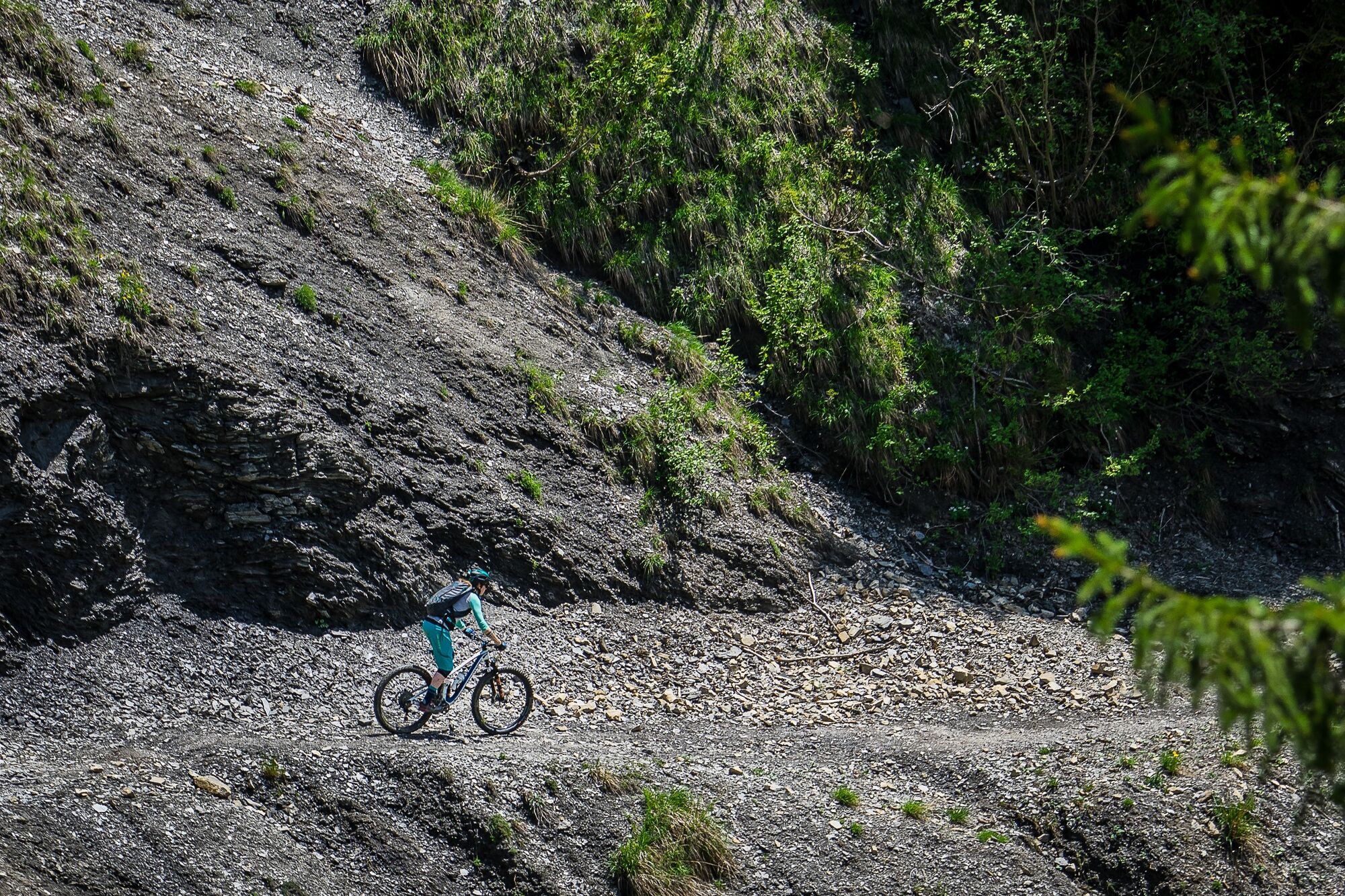
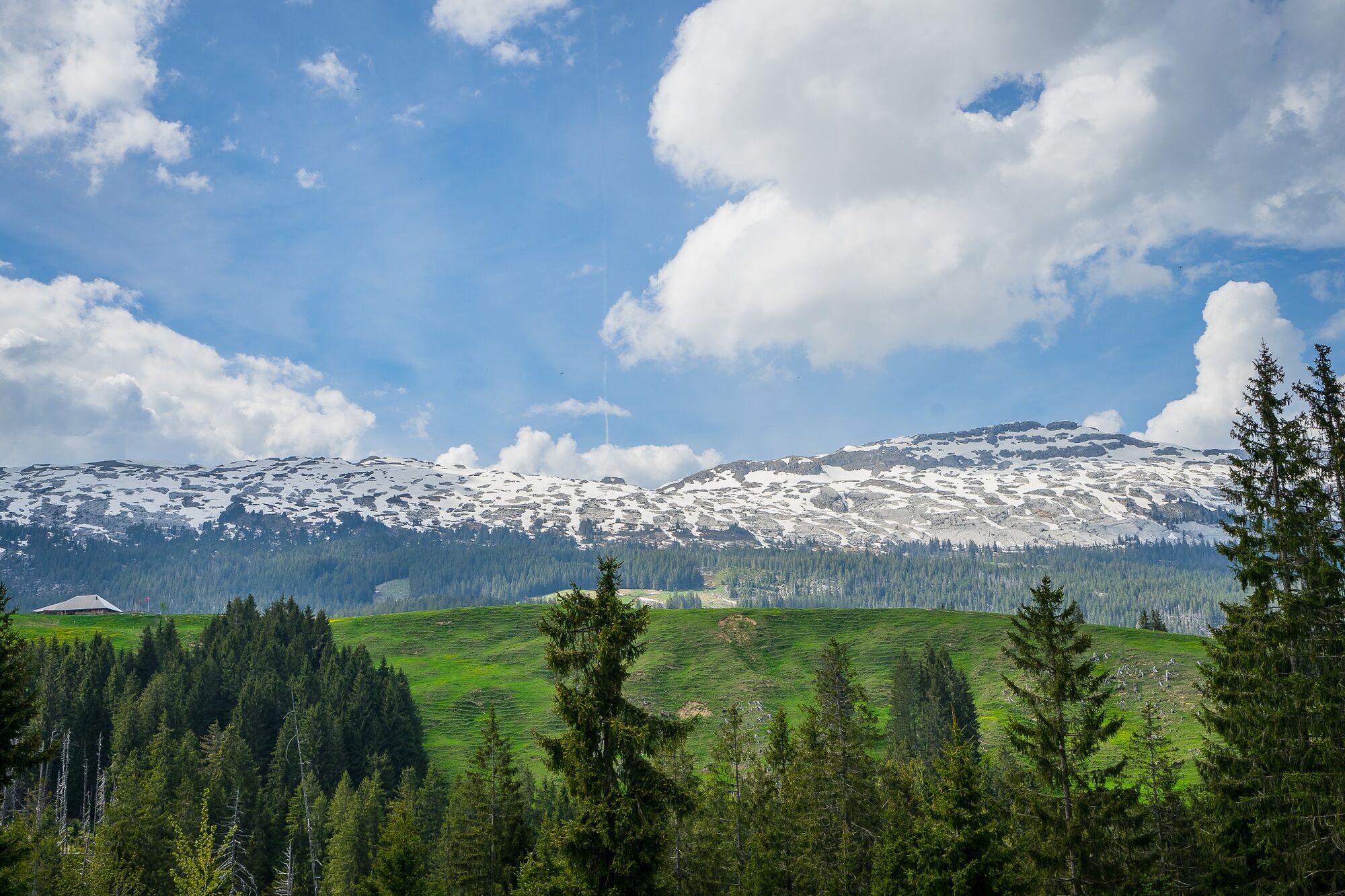
A round tour of the striking Schrattenfluh with steep climbs and some great single trails!
- Difficulty
-
difficult
- Rating
-
- Starting point
-
Sörenberg post office
- Route
-
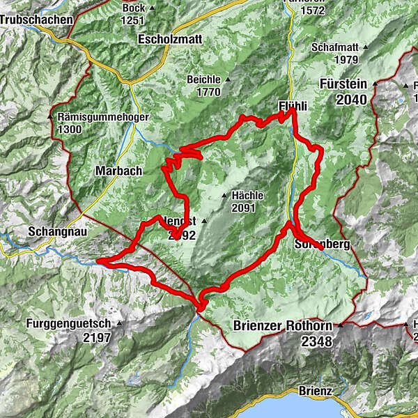
SörenbergAlpenrösli0.1 kmRestaurant Bäckerstube0.2 kmHotel Sörenberg0.2 kmBunihus7.5 kmHüttlenen8.6 kmFürstei9.2 kmFlühli (882 m)9.5 kmSpierberg11.0 kmHilferepass (1,289 m)14.9 kmImbrig28.3 kmHinter Leu35.2 kmGasthof Alpenrose36.3 kmBumbach36.3 kmGrossenbumbach36.7 kmBödeli37.1 kmSädel37.6 kmKemmeribodenbad39.7 kmKemmeriboden40.1 kmHübeli41.2 kmChäs Stübli Ochsenweid51.7 km
- Best season
-
JanFebMarAprMayJunJulAugSepOctNovDec
- Description
-
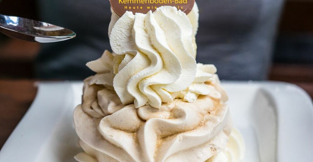
Highlights: Crossing the Hilfere Pass and a tasty meringue with cream at Kemmeriboden Bad
Note(s)
Key points:
Dismount Birkenhof Junkholz approx. 150 m Watch out for the Hilferehüttli junction (slow down on the descent!)Tips: Kneipp installation at Schwandalpweiher, Flühli
Food/drink:
Restaurants in Sörenberg Hotel Kemmeriboden Bad Restaurants in Flühli - Directions
-
Sörenberg - Birkenhof - Junkholz - Steibödili - Bunishus - Flühli - Hilferepass - Hilferehüttli - waterfall - Buhütte - Hürndli - Steiwang - Imbrig - Wittenfähren - Unter Lochsitli - Bumbach - Kemmeriboden - Schönisei - Chüblisbüel - Schneeberg - Salwideli - Südelhöchi - Sörenberg
- Highest point
- 1,530 m
- Endpoint
-
Sörenberg post office
- Height profile
-
 © outdooractive.com

-

-
AuthorThe tour Around the Schrattenfluh is used by outdooractive.com provided.
GPS Downloads


Surfaces
Trial
General info
Refreshment stop
Insider tip
A lot of view
Other tours in the regions