
© Region Luzern-Vierwaldstättersee - Kanuwelt Buochs

- Brief description
-
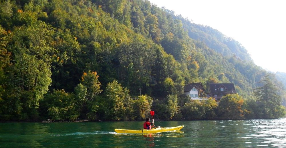
Diese Route führt rund um den Bürgenstock, welcher wie eine Halbinsel im Vierwaldstättersee liegt, bis nach Stansstad. Das faszinierende an der Route sind die unbewohnten Natur-Ufer, die Ruhe, die diversen Kiesplatze, welche zum Verweilen und Baden einladen, sowie die schöne Flora und Fauna.
- Difficulty
-
difficult
- Rating
-
- Route
-
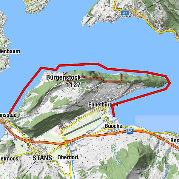
Ennetbürgen (435 m)0.6 kmStansstad (436 m)13.9 km
- Best season
-
JanFebMarAprMayJunJulAugSepOctNovDec
- Highest point
- 433 m
- Endpoint
-
General-Guisan-Quai Stansstad
- Height profile
-
 © outdooractive.com

-
-
AuthorThe tour Buochs-Stansstad is used by outdooractive.com provided.
GPS Downloads


General info
Refreshment stop
A lot of view
Other tours in the regions