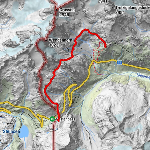
Alpenkranz 32. Etappe: Sustenpass -Guferjoch- Sustlihütte

long-distance walking trail
© Verein Urner Wanderwege - Sanna Laurén
© uripix.com - Markus Fehlmann
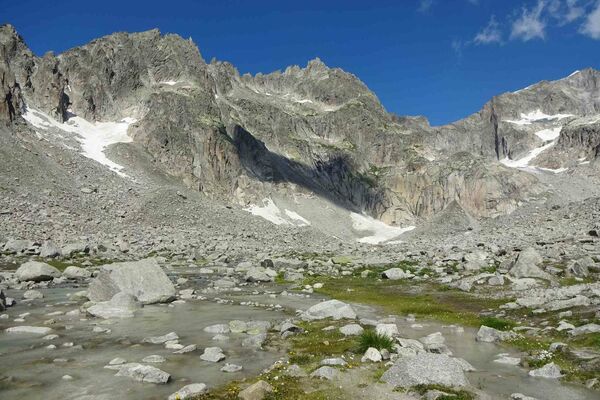
© uripix.com - Marino Betschart
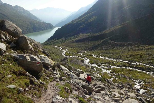
© Verein Urner Wanderwege - Sanna Laurén/ Markus Fehlmann
© Verein Urner Wanderwege - Sanna Laurén/ Markus Fehlmann
© Verein Urner Wanderwege - Sanna Laurén/ Markus Fehlmann
- Brief description
-
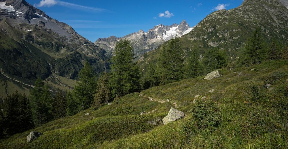
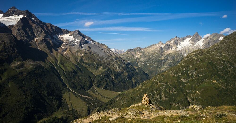
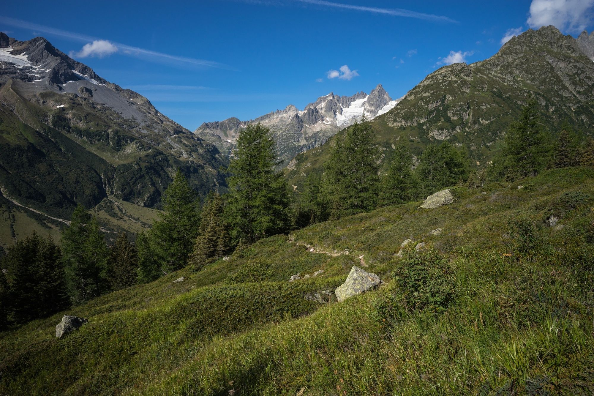
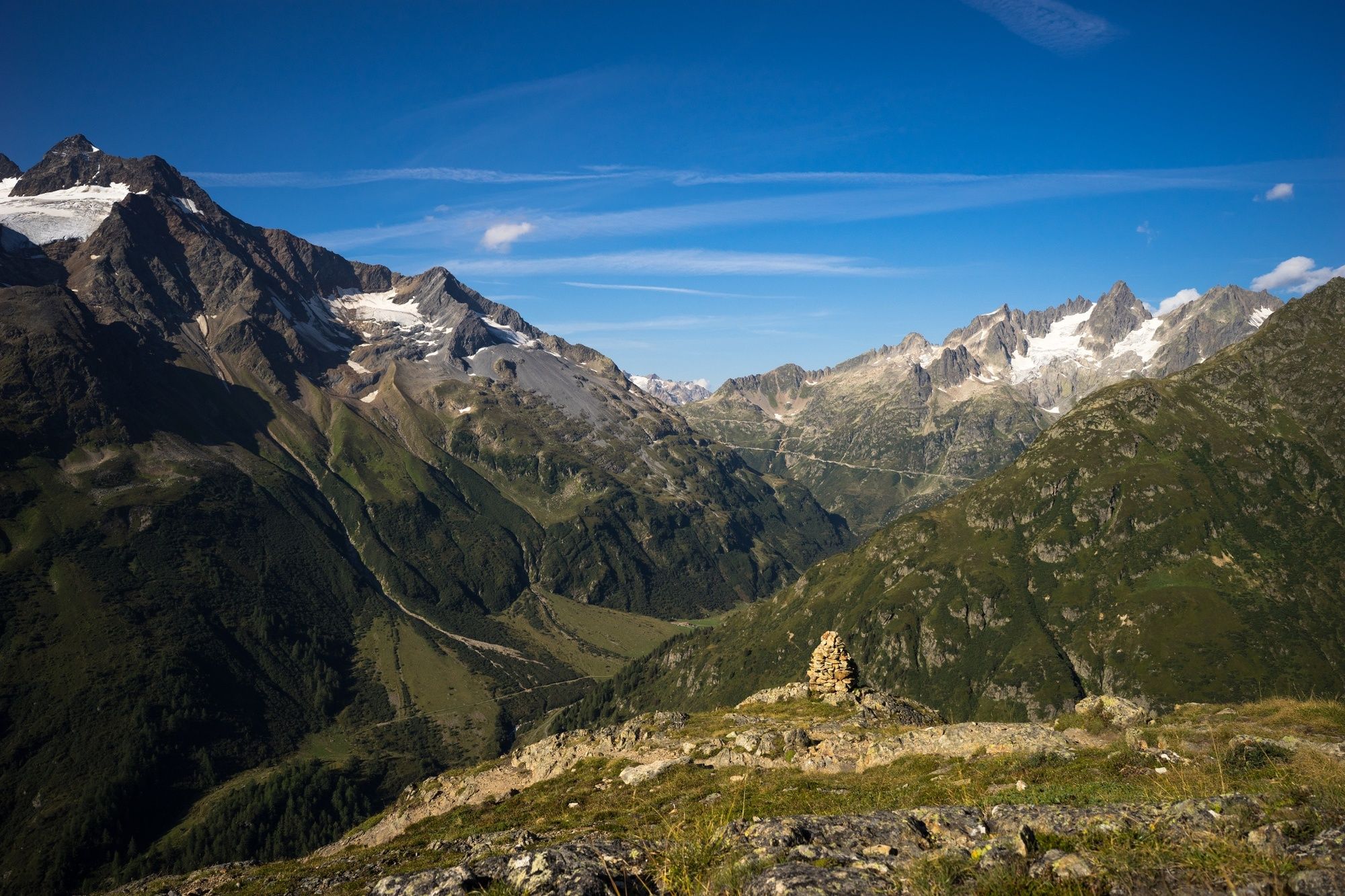
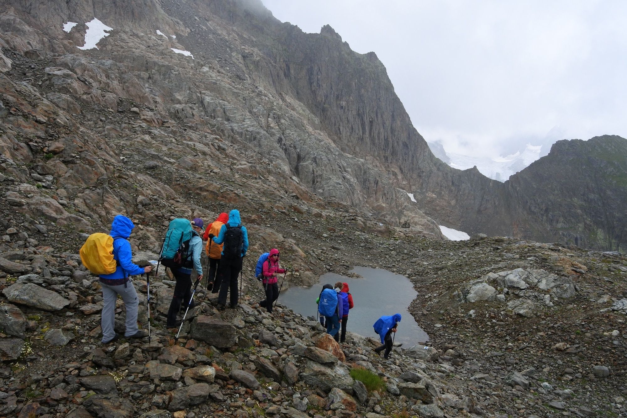
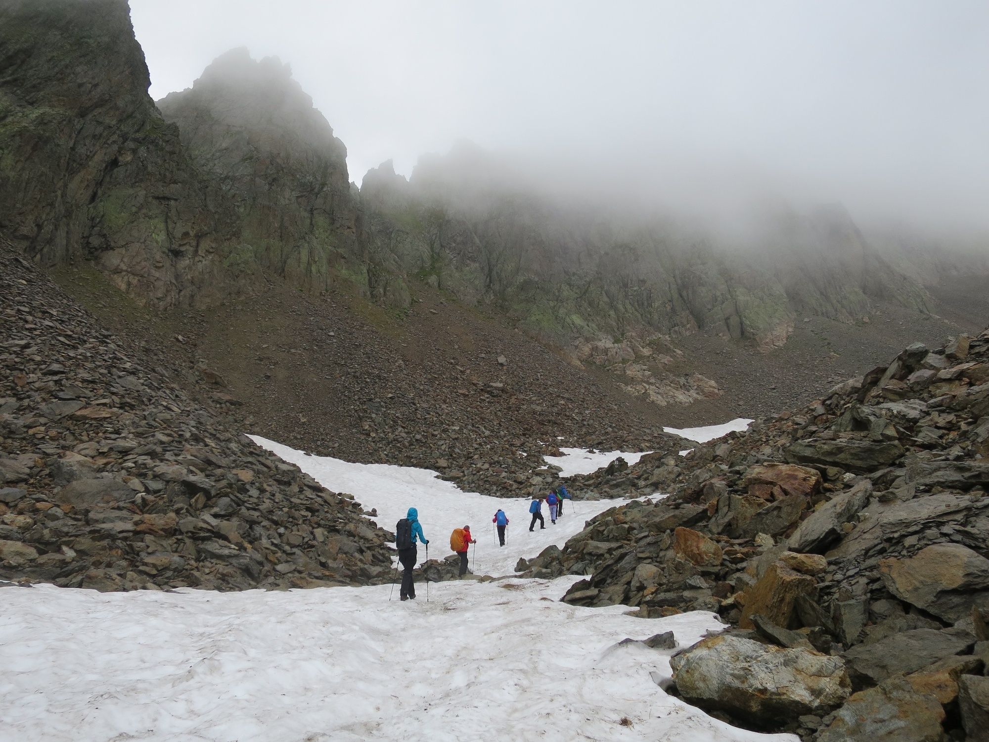
Das Urner Meiental zählt zu den beliebstesten Wandergebieten im Kanton Uri und hinterlässt mit dem imposanten Talabschluss der trotzigen Fünffingerstöcke einen bleibenden Eindruck. Landschaftliche Perlen wechseln sich ab mit wilden Bergbächen, kleinen Bergseen, gepflegten Alpen und reicher Alpenflora. Abseits der vielbefahrenen Sustenpassroute bietet das Tal eine attraktive Vielfalt von verschiedenen Gebirgsansichten.
- Difficulty
-
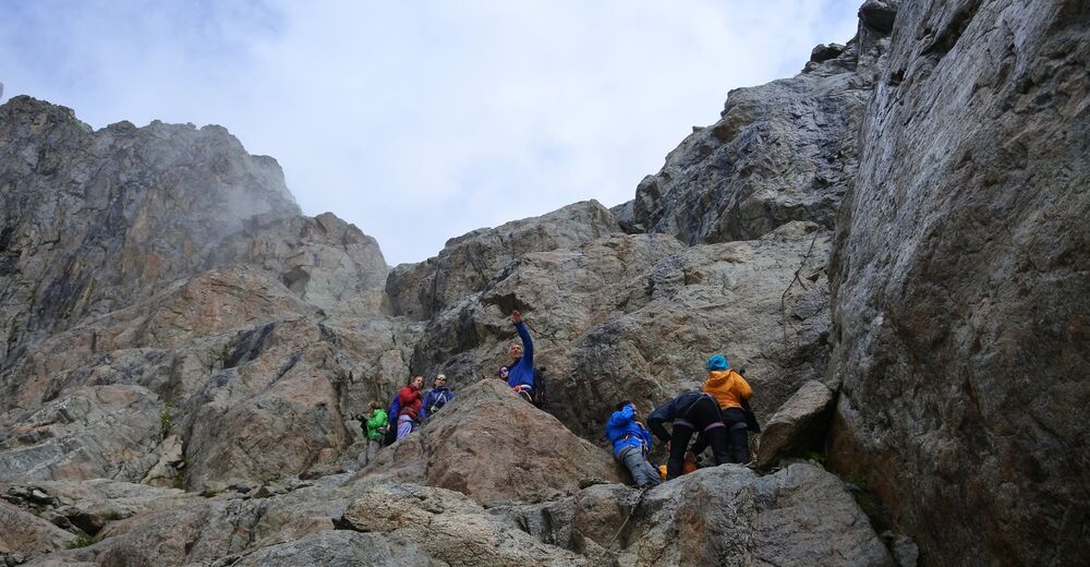
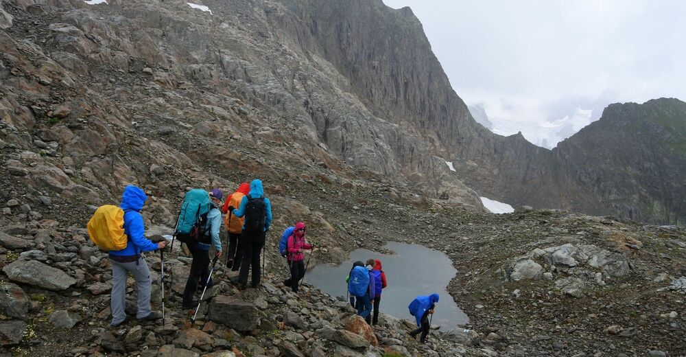
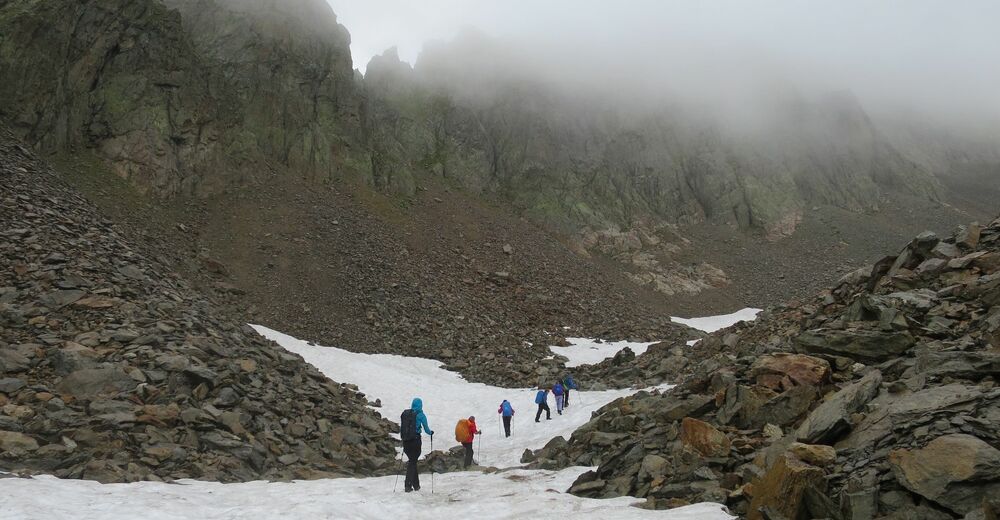
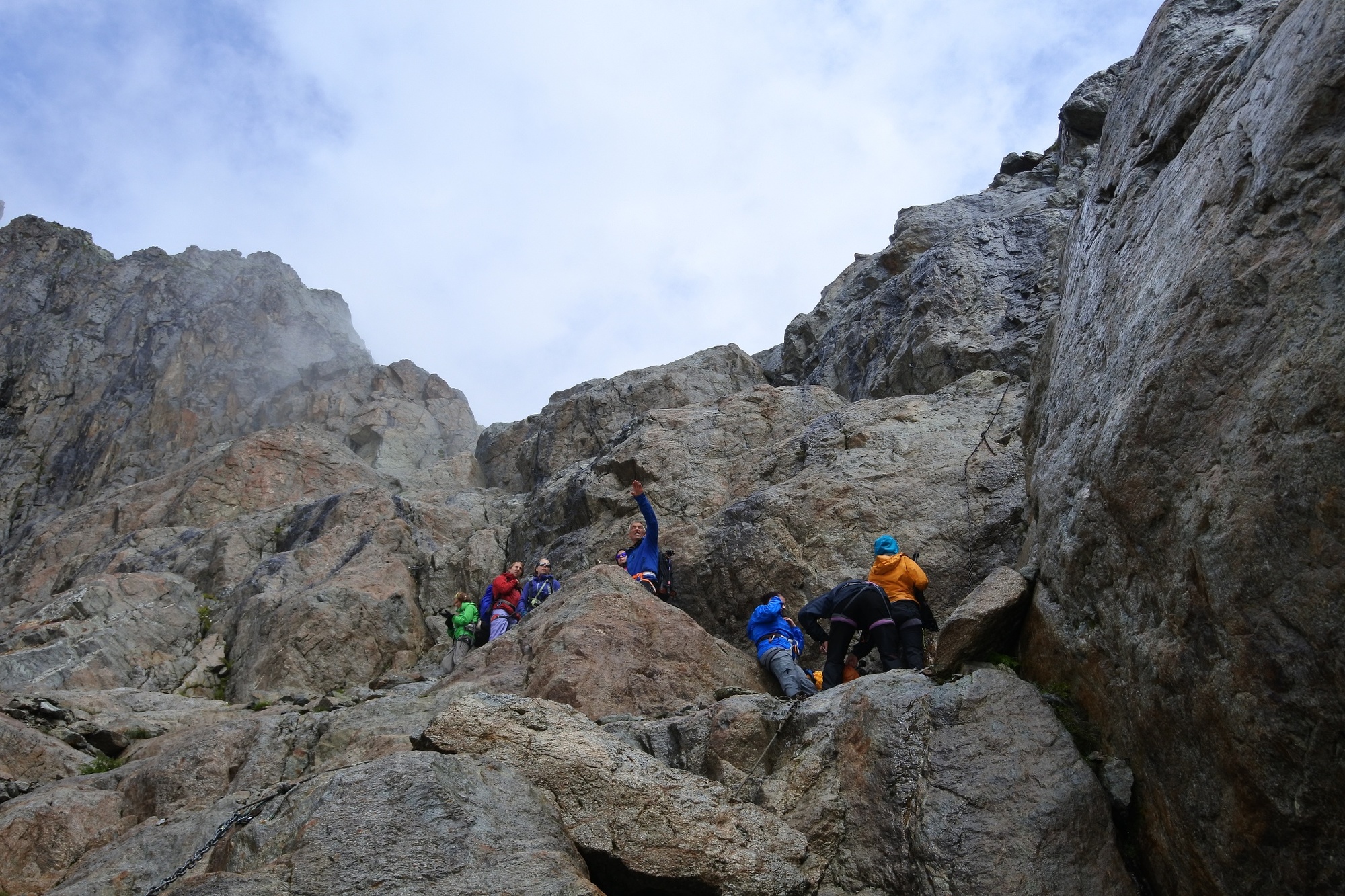
difficult
- Rating
-
- Route
-
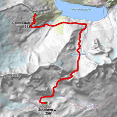
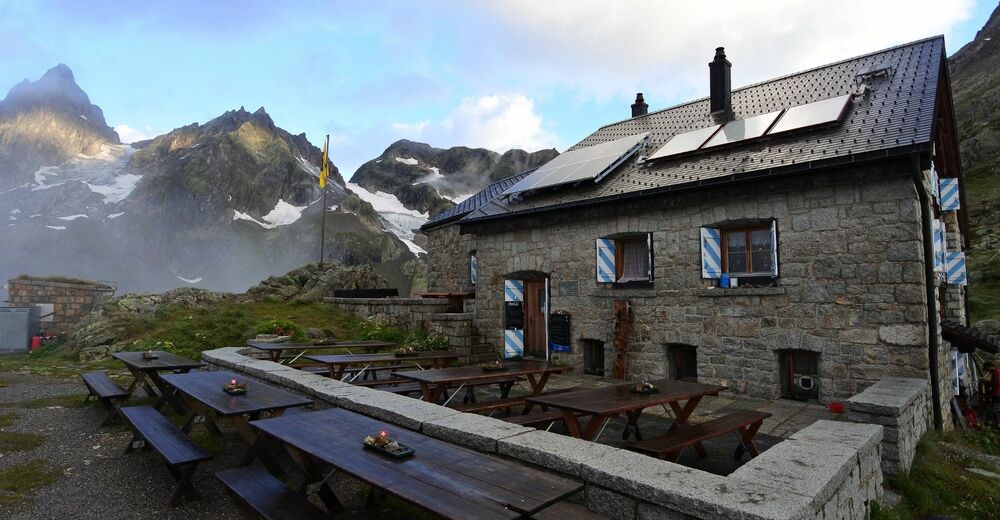
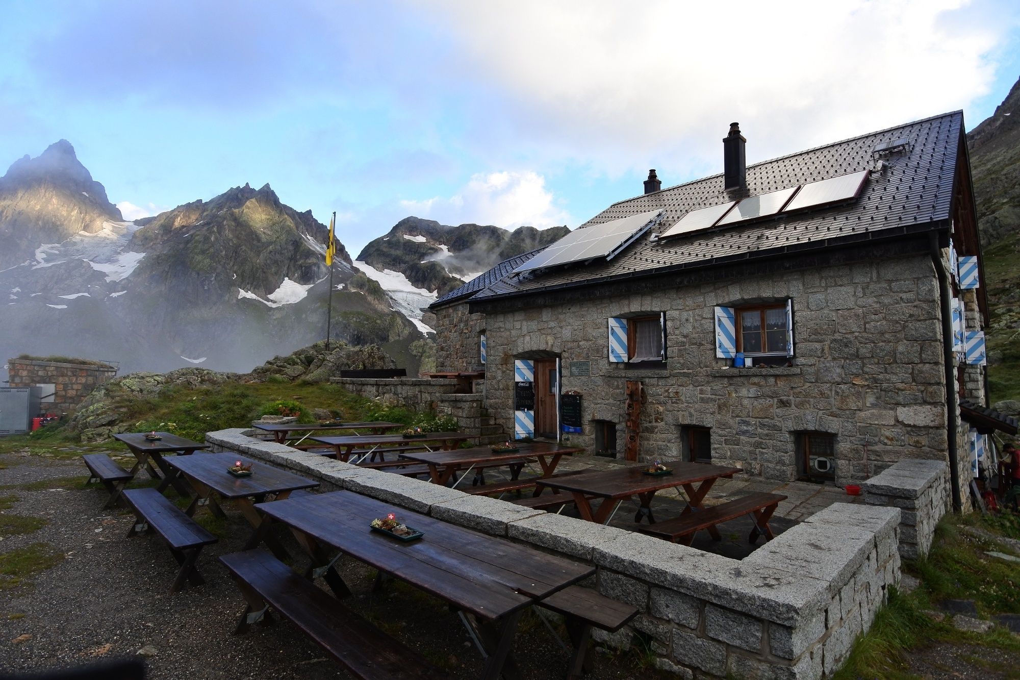
Berggasthaus Hospiz Sustenpass0.0 kmSustlihütte SAC (2,257 m)5.8 km
- Best season
-
JanFebMarAprMayJunJulAugSepOctNovDec
- Highest point
- 2,543 m
- Endpoint
-
Sustlihütte
- Height profile
-
 © outdooractive.com
-

-
AuthorThe tour Alpenkranz 32. Etappe: Sustenpass -Guferjoch- Sustlihütte is used by outdooractive.com provided.
GPS Downloads


General info
A lot of view
Other tours in the regions
-
Uri
1553
-
Engelberg Titlis
901
-
Gadmen
173