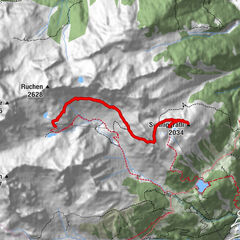
Alpenkranz 10. Etappe: Sittlisalp -Griesstal - Haldi

long-distance walking trail
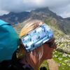
© Verein Urner Wanderwege - Sanna Laurén
© Verein Urner Wanderwege - Markus Fehlmann
© Verein Urner Wanderwege - Markus Fehlmann
© Verein Urner Wanderwege - Sanna Laurén
© Verein Urner Wanderwege - Sanna Laurén
- Brief description
-
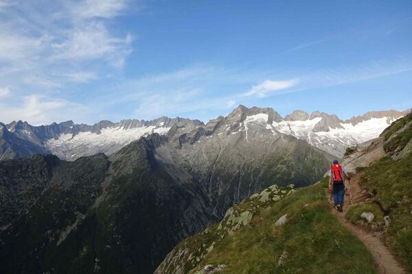
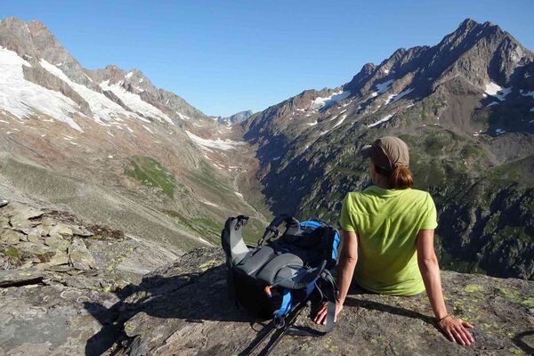
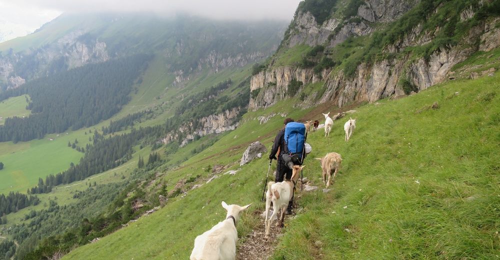
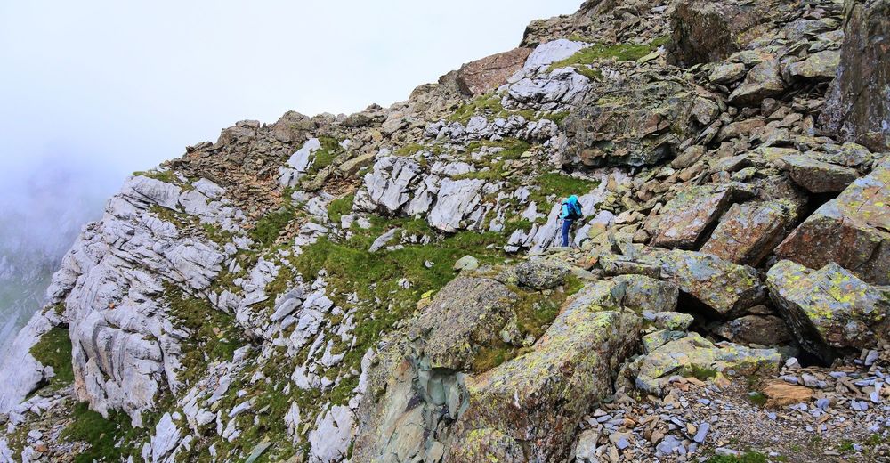
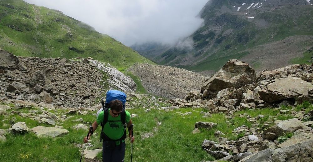
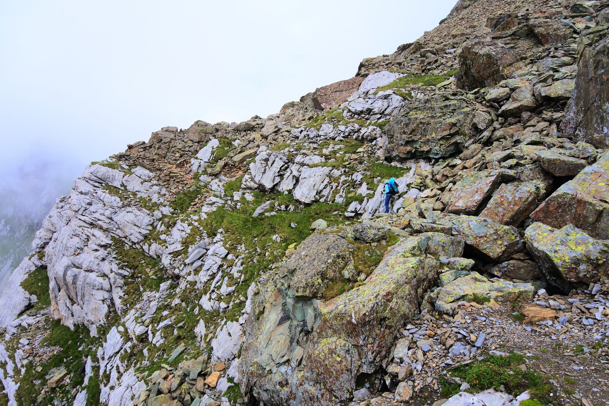
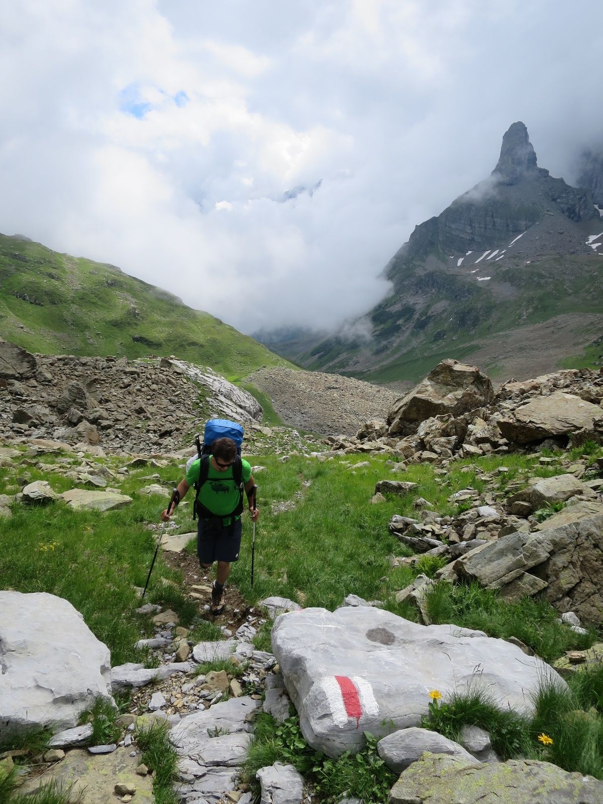
Die Bezeichnung "Griess" wird abgeleitet von "Geröll". So kommt es nicht von ungefähr, dass die Landschaft im Griesstal von Felsen und Steinen geprägt und das Alpgebiet von Geröll durchsetztes ist.
- Difficulty
-
medium
- Rating
-
- Route
-
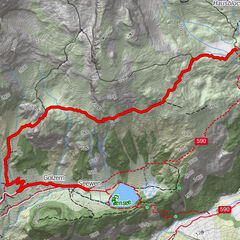
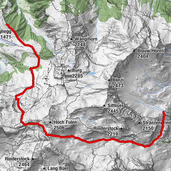
Vorder Griesstal2.6 kmButzenstein (1,798 m)7.3 kmBuggliegg (1,471 m)10.3 kmBerghaus Oberfeld10.6 km
- Best season
-
JanFebMarAprMayJunJulAugSepOctNovDec
- Highest point
- 2,366 m
- Endpoint
-
Haldi ob Schattdorf
- Height profile
-
 © outdooractive.com
-
-
AuthorThe tour Alpenkranz 10. Etappe: Sittlisalp -Griesstal - Haldi is used by outdooractive.com provided.
GPS Downloads


General info
Flora
Fauna
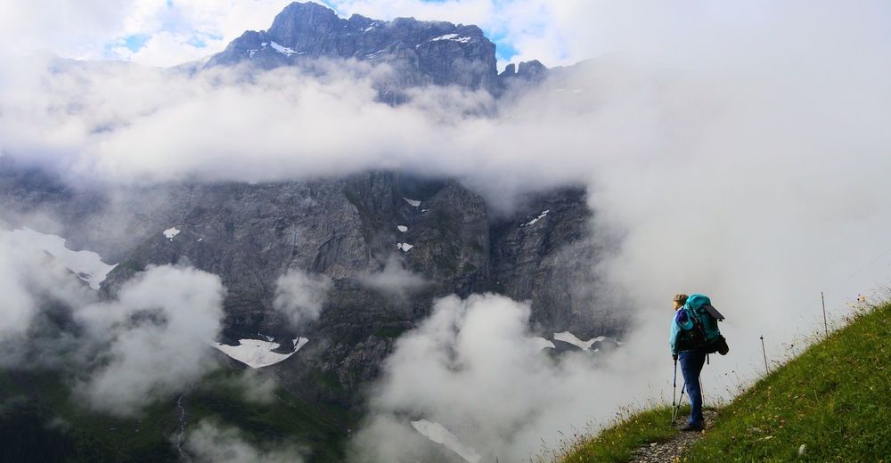
A lot of view
Other tours in the regions
-
Uri
1548
-
Urner Unterland
864
-
Spiringen - Urner Boden
175