© Visit Luxembourg - Visit Moselle

© Visit Luxembourg - Visit Moselle

© Visit Luxembourg - Visit Moselle

- Brief description
-
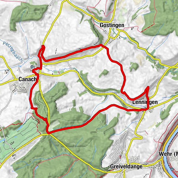
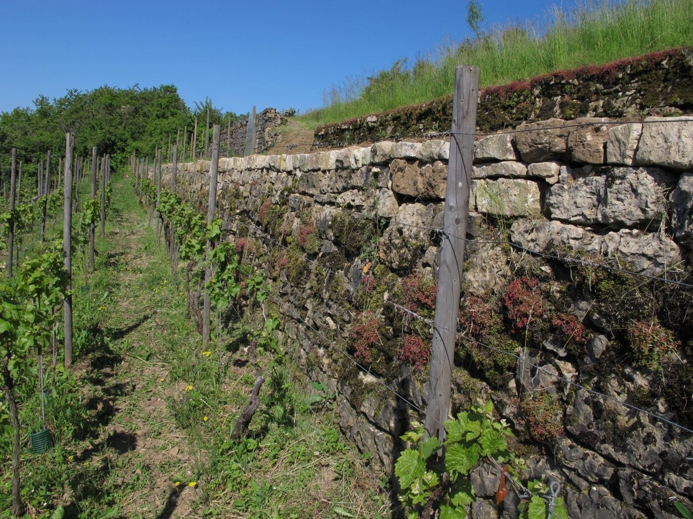
This path tackles the summits of the Wéngertsbierg, Canecherbierg, Kalebiergand Haard. It follows part of the Lennengerbaach to Lenningen before crossing the Branebësch and returning to its starting point.
- Difficulty
-
easy
- Rating
-
- Starting point
-
Church Canach - 3, Rue de l‘Église L-5414 Canach
- Route
-
CanachSaint-Michel0.0 kmWéngertsbierg1.7 kmCanecherbierg2.5 kmLenningen6.1 kmSaint-Pierre6.3 kmCaves Leuck-Thull / Restaurant Wäistuff Leuck6.4 kmKaul6.7 kmCanach11.1 kmSaint-Michel11.7 km
- Best season
-
JanFebMarAprMayJunJulAugSepOctNovDec
- Description
-
We leave the town northwards, go east and ramble along the slopes of the Wéngertsbierg and the Canecherbierg. We go downhill over the Kalebierg to the Lennengerbaach, which we follow to Lenningen. We cross the village, traverse the Branebësch and return to Canach via the Haard.
- Highest point
- 296 m
- Endpoint
-
Church Canach - 3, Rue de l‘Église L-5414 Canach
- Height profile
-
 © outdooractive.com
 - Equipment
-
firm footwear
- Tips
-
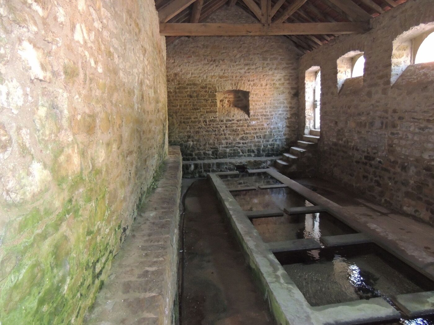
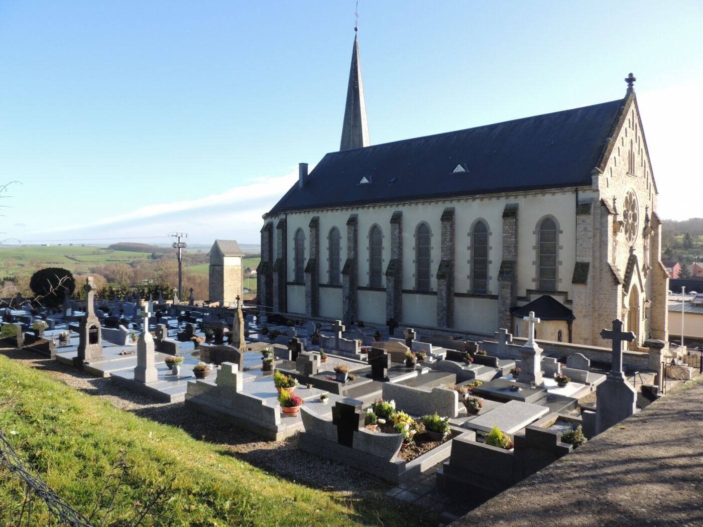
Visit the church of Lenningen, built in the style of a Romanesque basilica
- Additional information
- Public transportation
-
The next bus station is Canach, Post
-

-
AuthorThe tour Auto-pédestre trail Canach is used by outdooractive.com provided.
GPS Downloads


Other tours in the regions
-
Region Mosel
446
-
Lenningen
110


")