© Visit Luxembourg - Anna Katina

© Visit Luxembourg - Fernand Morbach

© Visit Luxembourg - Fernand Morbach


- Brief description
-
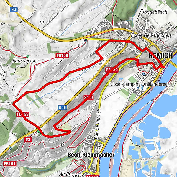
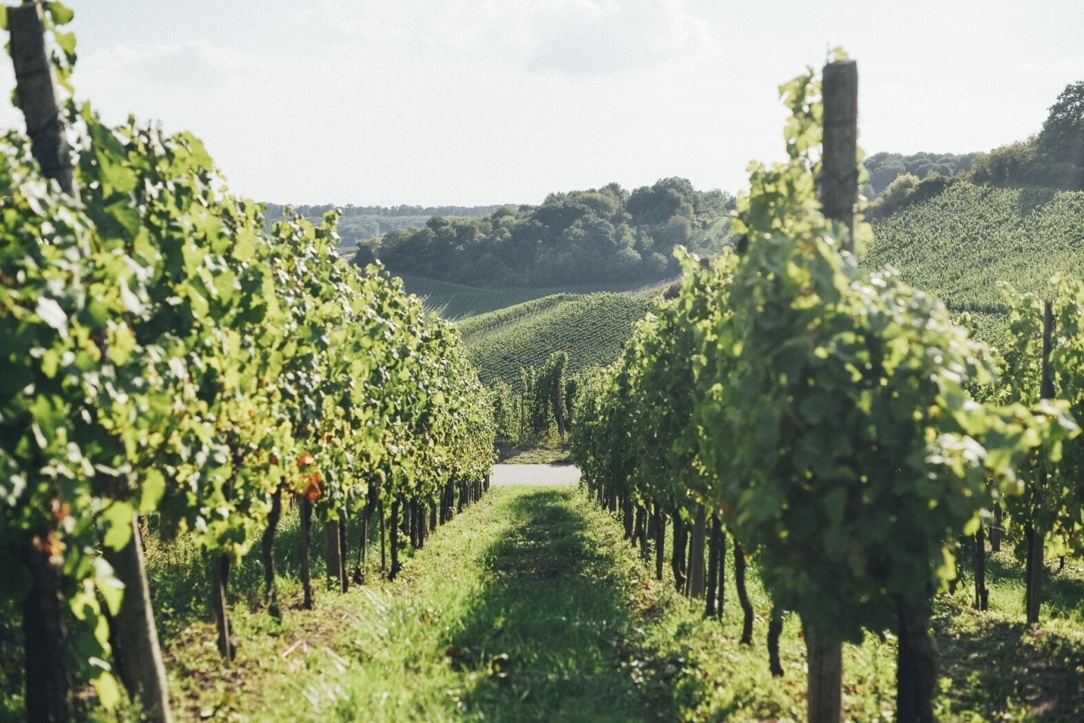
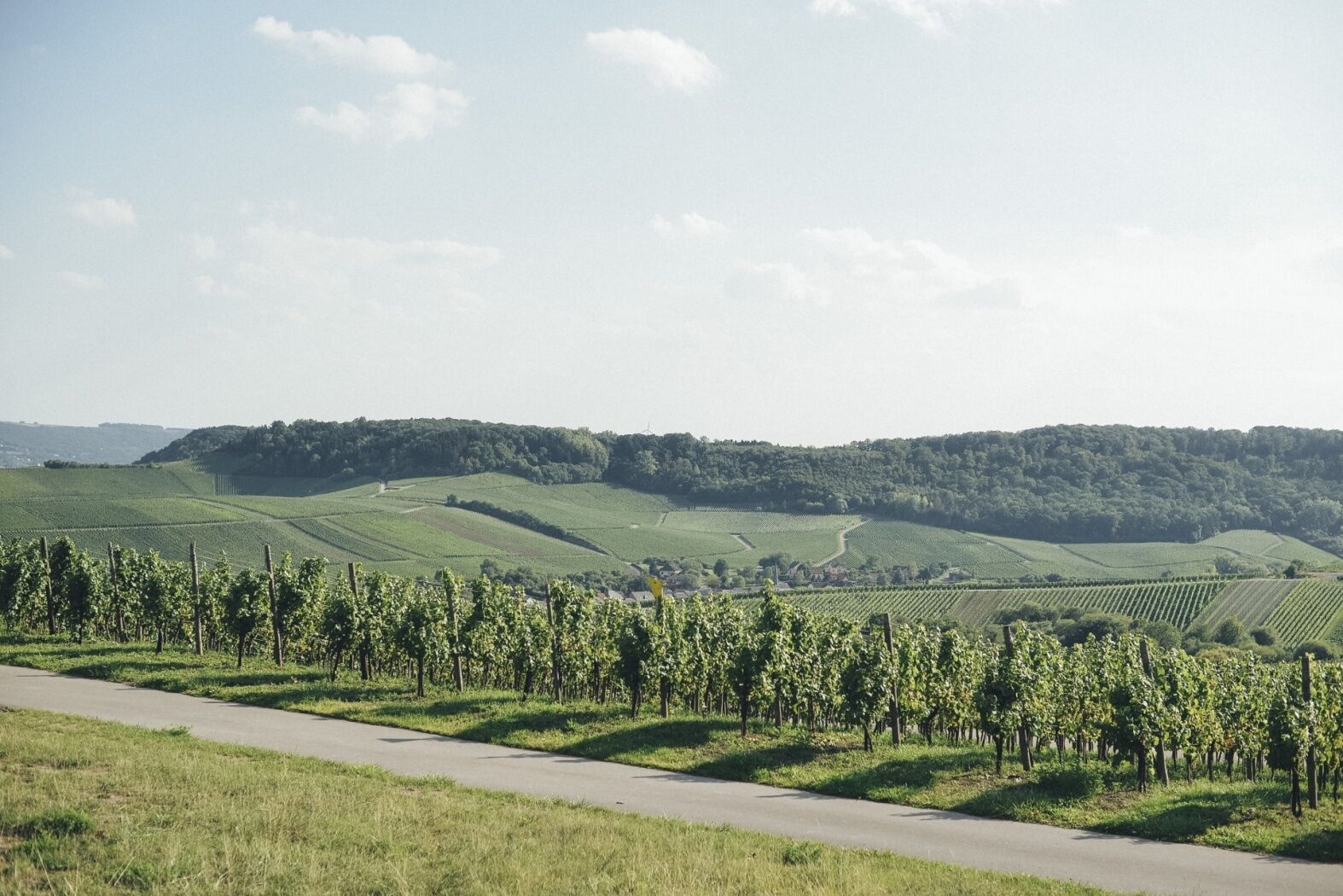
A walk trough the vineyards of Remich
- Difficulty
-
easy
- Rating
-
- Starting point
-
Tourist Info Remich, 1, route du Vin L-5549 Remich
- Route
-
NavitoursRemich0.1 kmBech-Kleinmacher2.3 kmSaint-Étienne5.6 kmRemich5.7 kmNavitours6.1 km
- Best season
-
JanFebMarAprMayJunJulAugSepOctNovDec
- Description
-
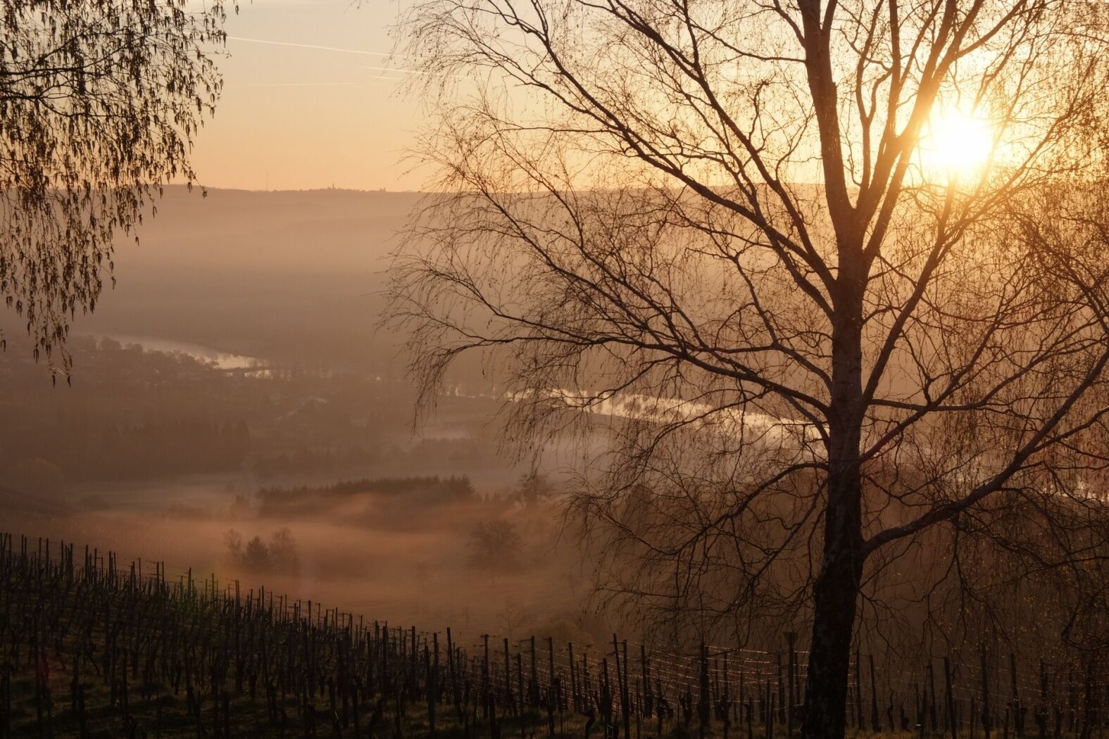
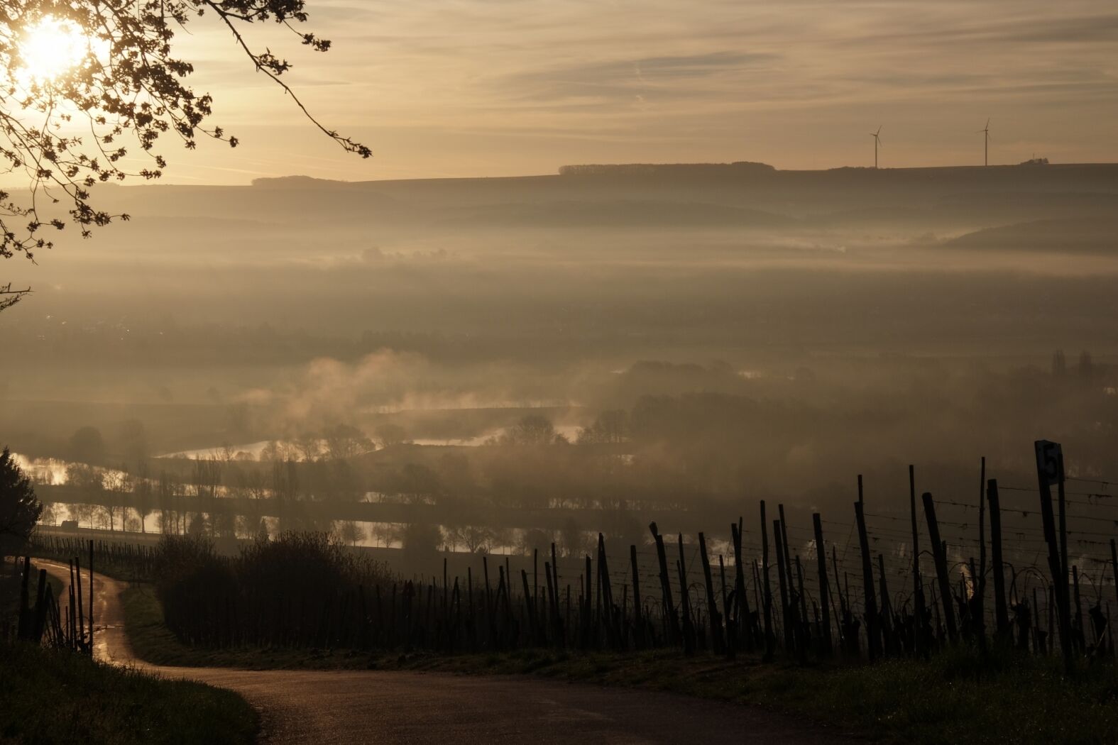
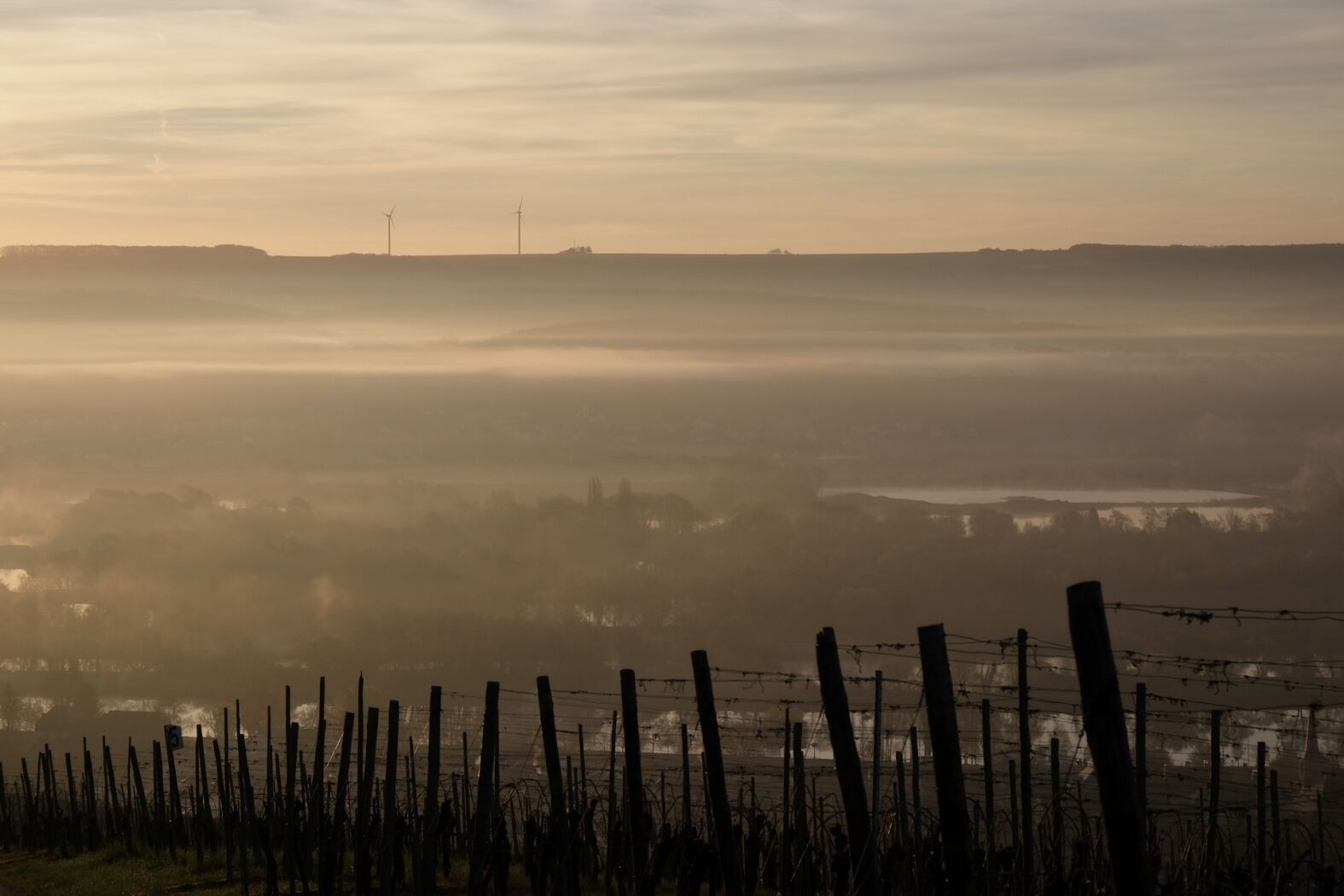
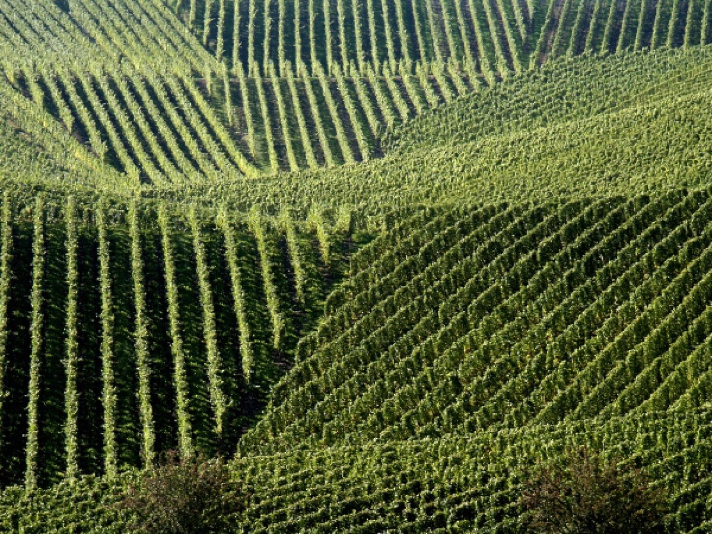
The Wéngerts Tour leads through the vineyards of Remich and the surrounding area up to the Scheierbierg platform, which offers a wonderful view of the city and is perfect for panoramic photoshots.
- Highest point
- 258 m
- Endpoint
-
Tourist Info Remich, 1, route du Vin L-5549 Remich
- Height profile
-
 © outdooractive.com
 - Equipment
-
No equipment required
- Additional information
-
Mail: quality@visitmoselle.lu
Tel: +352 26 74 78 74
www.visitmoselle.lu
- Public transportation
-
Bus stop Remich, Gare routière
- Parking
-
Parking "Um Gréin"
Parking "Port"
- Author
-
The tour Wéngerts Tour - RE3 is used by outdooractive.com provided.
GPS Downloads


Other tours in the regions
-
Region Mosel
446
-
Remich
100
")